The best road cycling routes around Páramo Del Sil
5.0
(8)
420
riders
27
rides
Road cycling routes around Páramo Del Sil navigate a landscape characterized by rolling hills, river valleys, and forested areas. The region offers varied terrain, from challenging mountain passes to more gentle routes along waterways. Road cyclists can expect a mix of ascents and descents, providing diverse experiences across its natural environment.
Best road cycling routes around Páramo Del Sil
- The most popular road cycling route is Pereda de Ancares – Puerto de Ancares loop from Fabero, a 41.6 miles…
Last updated: July 1, 2026
38
riders
57.5km
02:55
680m
680m
Moderate road ride. Good fitness required. Some segments of this route may be unpaved and difficult to ride.
33
riders
75.5km
04:04
1,290m
1,290m
Hard road ride. Very good fitness required. Mostly well-paved surfaces and easy to ride.

Sign up for free
18
riders
55.6km
02:54
920m
920m
Hard road ride. Very good fitness required. Mostly well-paved surfaces and easy to ride.
5.0
(2)
12
riders
60.7km
03:53
910m
910m
Hard road ride. Very good fitness required. Mostly well-paved surfaces and easy to ride.
5.0
(3)
13
riders
50.0km
02:32
760m
760m
Moderate road ride. Good fitness required. Some segments of this route may be unpaved and difficult to ride.
Get access to more routes and recommendations from other explorers.
Sign up for free
Already have an account?
Our route recommendations are based on thousands of hikes, rides, and runs completed by other people on komoot.
Start today with a free account
Your next adventure awaits.
Login or Signup
Tips from the Community

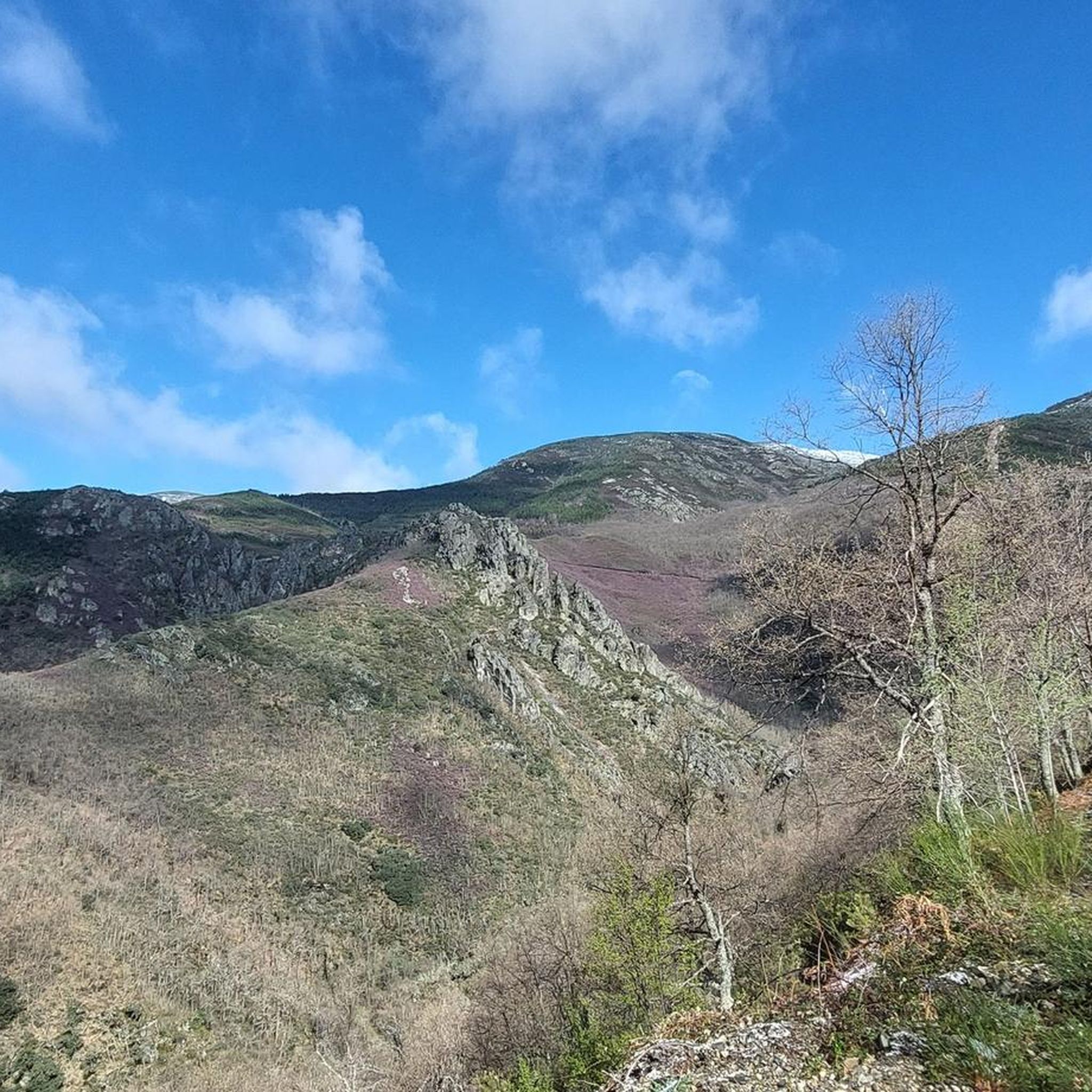
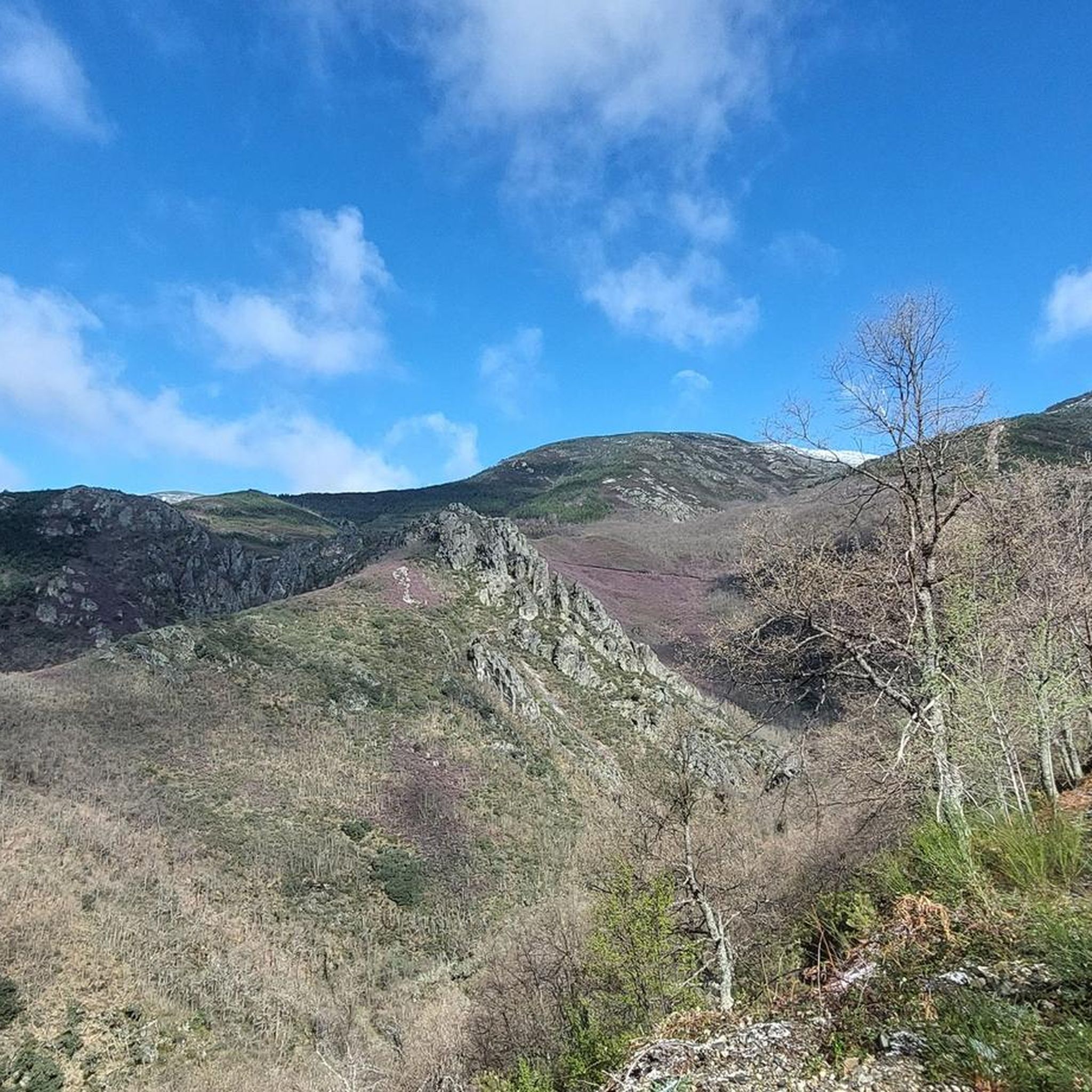
The Cerredo Pass is located on the regional border between Asturias and Castile and León. Its mountain setting with endless views is breathtaking.
0
0

Degaña is a municipality and parish in the Principality of Asturias, located in the valley of the same name. Prehistoric settlements are documented by the existence of burial mounds and fortified ruins, while the medieval period has left little documentary evidence. The local economy has traditionally been based on subsistence agriculture and livestock farming until the development of coal mining operations in the second half of the 20th century. These operations are now closed, and the local economy has shifted toward rural tourism.
0
0

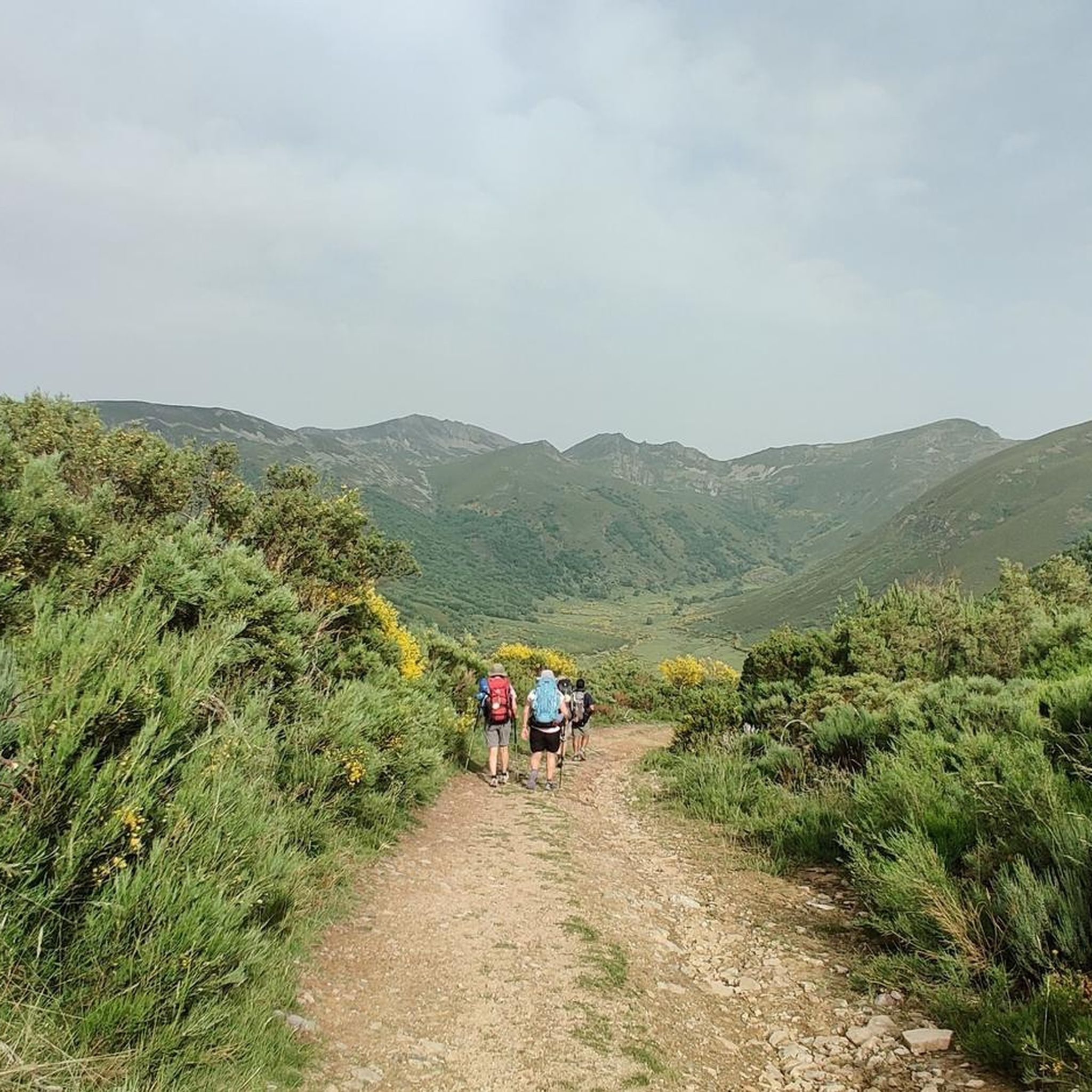
It's one of the many border crossings between Asturias and León. In this case, it connects Villablino with the town of Cerredo and, above all, Degaña. It's a very pretty pass and a great alternative to the Leitariegos Pass for entering Asturias. It's easier than the Leitariegos Pass and definitely has less traffic. Both sides are very similar, with just 5 km of fairly challenging terrain. The Asturian side has a couple of tough kilometers at 7% gradient as it leaves the town of Cerredo. The León side is more consistent, with more curves and better views.
0
0
Degaña is a council and parish of the community of the Principality of Asturias, located in the valley of the same name. Prehistoric settlements are documented by the existence of tumular traces and military ruins, while the medieval period has not left a great documentary legacy. The local economy has traditionally been based on subsistence agriculture and livestock, until coal mining operations were developed in the second half of the 20th century. These farms are now closed, and the local economy has been oriented towards rural tourism.
1
0
It is a very good restaurant where you can try the typical dishes of the area or rest for a drink during a route.
1
0

Caboalles de Abajo is a small and beautiful mountain town between Caboalles de Arriba and Villablino. There is a beautiful greenway that connects the three towns called the Laciana Greenway.
1
0

The small town of Vega de Espinareda is nestled in the foothills of the Sierra de Ancares, north of El Bierzo. Surrounded by this incredible natural setting that was declared a Biosphere Reserve in 2006. The most outstanding monuments of the town are the old Roman bridge over the Cúe river and the San Andrés Monastery.
1
0
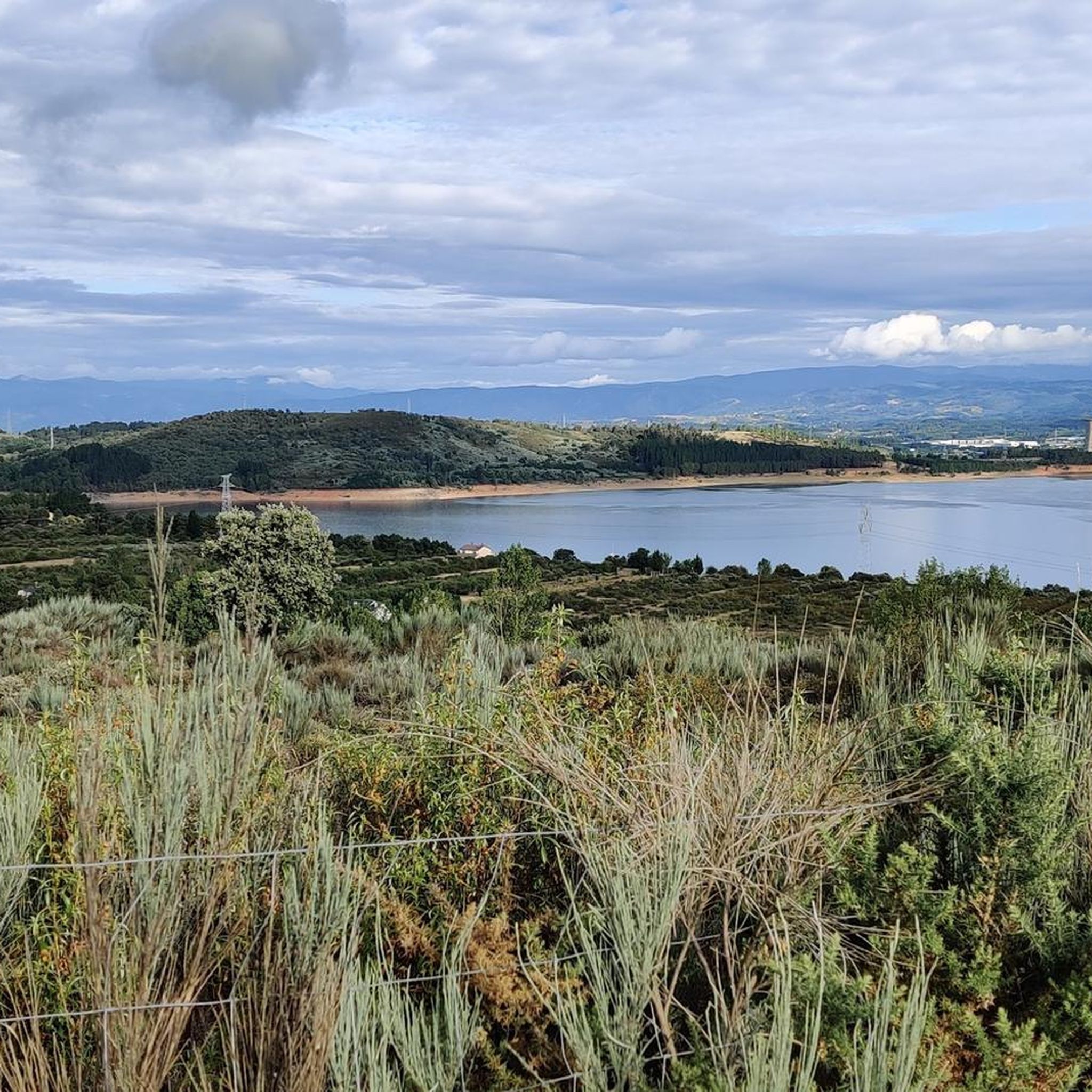
Surrounded by mountains, the Las Razas Reservoir is a small hydroelectric reservoir dam near Villablino that uses the waters of the Sil River to produce electricity.
1
0
Frequently Asked Questions
What is the general difficulty level of road cycling routes in Páramo Del Sil?
Road cycling in Páramo Del Sil is characterized by its varied terrain, offering a mix of moderate and difficult routes. You'll find challenging mountain passes and significant elevation gains, making it ideal for cyclists looking for a demanding experience. There are 14 moderate and 14 difficult routes available.
Are there routes suitable for experienced road cyclists seeking a challenge?
Absolutely. Páramo Del Sil is well-suited for experienced road cyclists. Many routes feature substantial elevation gain and mountainous terrain. For instance, the Pereda de Ancares – Puerto de Ancares loop from Fabero is a difficult 41.6-mile route with over 1,700 meters of ascent, offering a significant challenge.
What kind of elevation gain can I expect on road cycling routes in this region?
The routes in Páramo Del Sil often involve considerable elevation changes due to the region's mountainous character. You can expect ascents ranging from around 680 meters on moderate routes, such as the Las Rozas Reservoir – View of Villablino loop from Páramo del Sil, to over 1,700 meters on more difficult trails like the Pereda de Ancares – Puerto de Ancares loop from Fabero.
When is the best time of year to go road cycling in Páramo Del Sil?
The best time for road cycling in Páramo Del Sil is typically from late spring through early autumn (May to October). During these months, the weather is generally more stable, with pleasant temperatures and less chance of snow in the higher elevations, allowing for optimal riding conditions across the region's diverse landscapes.
Are there any family-friendly road cycling options in Páramo Del Sil?
Given the region's terrain, most road cycling routes in Páramo Del Sil are classified as moderate to difficult, featuring significant ascents and descents. While there are no routes specifically categorized as 'easy' in our selection, some moderate routes might be manageable for families with older, experienced teenage cyclists. However, routes are generally geared towards more seasoned riders.
What can I see along the road cycling routes in Páramo Del Sil?
Road cycling routes in Páramo Del Sil offer a variety of scenic and historical sights. You might pass by natural landmarks like the Gualta Waterfall or enjoy views of mountain peaks such as Pico Catoute (2,117 m). Historical points of interest include the Roman Bridge of Vega de Espinareda and the Hermitage of Campo de Martín Moro Toledano.
Where are good starting points for road cycling in the Páramo Del Sil region?
Excellent starting points for road cycling in Páramo Del Sil include towns like Fabero, Páramo del Sil, Degaña, and Palacios del Sil. These locations often provide access to various routes, such as the Puente del Centenario – Ponferrada Castle loop from Fabero or the Degaña – Puerto de Cerredo loop from Degaña, and usually have parking facilities available.
Are there any circular road cycling routes available?
Yes, many of the road cycling routes in Páramo Del Sil are designed as loops, allowing you to start and finish in the same location. Examples include the Las Rozas Reservoir – View of Villablino loop from Páramo del Sil and the View of Villablino – Albergue Leitariegos loop from Palacios del Sil, which offer convenient circular journeys.
What do other road cyclists enjoy the most about road cycling in Páramo Del Sil?
The area is highly rated by the komoot community, with an average score of 5.0 stars from over 8 reviews. Reviewers often praise the challenging mountain passes, scenic river valleys, and forested hills that define the region's cycling experience. The diverse terrain and natural beauty are frequently highlighted as key attractions.
How many road cycling routes are available in Páramo Del Sil?
There are 28 road cycling routes available in Páramo Del Sil, offering a wide range of options for cyclists. These routes are primarily categorized as moderate or difficult, providing varied experiences across the region's natural environment.
Are there any specific viewpoints or scenic spots along the routes?
Yes, many routes offer breathtaking views. For example, the Las Rozas Reservoir – View of Villablino loop from Páramo del Sil provides scenic views of the reservoir and surrounding countryside. You'll also encounter numerous points offering panoramic vistas of the rolling hills and mountain landscapes characteristic of the region.
Can I find places to stop for refreshments or food along the road cycling routes?
While specific cafes are not listed for every route, the routes often pass through or near small towns and villages like Degaña or Fabero. These settlements typically offer opportunities to find local establishments for refreshments, food, or to refill water bottles, especially on longer loops.
Most popular attractions around Páramo Del Sil

Get inspired with the komoot mobile app


Explore more
Browse the best Road cycling routes in other regions.
