The best walks and hikes around Rábano De Aliste
3.5
(2)
5
hikers
4
hikes
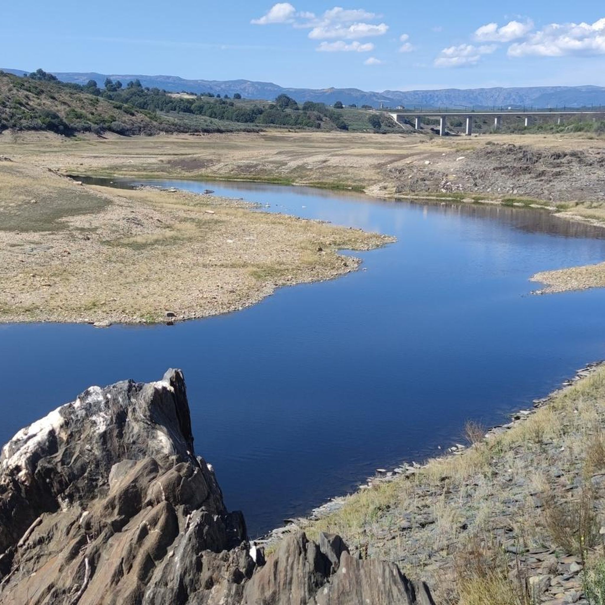
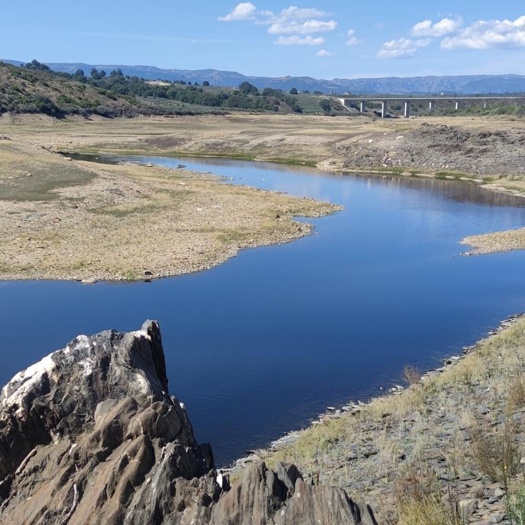
Hiking around Rábano De Aliste offers exploration of a tranquil rural landscape characterized by gentle hills, expansive fields, and picturesque valleys. The region features an irregular relief with dense arboreal vegetation and is traversed by the San Mamed river and various small streams. Trails provide views of the Sierra de la Culebra and lead through diverse natural settings.
Best hiking trails around Rábano De Aliste
- The most popular hiking route is Route of the Wolves — return from Trabazos de…
Last updated: July 4, 2026
3.5
(2)
3
hikers
14.8km
04:13
340m
340m
Moderate hike. Good fitness required. Easily-accessible paths. Suitable for all skill levels.
1
hikers
10.1km
02:44
140m
130m
Moderate hike. Good fitness required. Easily-accessible paths. Suitable for all skill levels.

Sign up for free
1
hikers
11.7km
03:21
280m
280m
Hike the moderate 7.3-mile Route of Peña Beneita from Nuez de Aliste, exploring ancient petroglyphs, a reservoir, and scenic valleys.
11.2km
02:59
130m
130m
Hike the moderate 6.9-mile Rabanales Trail in Zamora, Spain, exploring riverside paths and traditional stone architecture.
Our route recommendations are based on thousands of hikes, rides, and runs completed by other people on komoot.
Start today with a free account
Your next adventure awaits.
Login or Signup
Popular around Rábano De Aliste

Tips from the Community

Rabanales is known in the Aliste region for preserving a historic center with abundant examples of traditional stone architecture, a hallmark of western Zamora. This architecture is characterized by its robustness, its integration with the landscape, and the use of local materials. The traditional houses and buildings are constructed primarily with local stone, especially granite, which provides solidity and a distinctive rustic aesthetic.
2
0
Peña el Pingón is a prominent natural landmark on the hiking trails of Alcañices. Located in a spectacular setting, it is one of the most highly recommended spots by both local and visiting hikers. At the base of Peña el Pingón, or in its immediate vicinity, lies a cave, seamlessly integrated into the surrounding rocky landscape. It adds to the area's charm and is a popular stopping point on hiking routes.
2
0

Following the undulating curves of the Ribera de Arriba along the gravel track of the canyon, crossing paths through pine forests, the river is crossed by a small bridge. You can stop and cool off in the waters on a warm summer day.
1
0
Rabanales is a small town located in the Aliste region with the typical traditional local architecture of masonry buildings.
1
1

Close to the forest border between Spain and Portugal, we are surprised by this beautiful picture that offers us a forest track between pine forests while we walk along a wide dirt road.
3
0
At this point of the route we find the El Pingón rock located in a spectacular environment, just like the kilometers that lie ahead of us. In the place there is a cave and a picturesque bridge.
3
0
After crossing a narrow valley we arrive at Boca Barreros where we can admire the reservoir that makes up the dam of the same name. To your left is the Barreros Fountain signposted.
2
0
Arriving at Fuente Ferrada, we can rest in the picnic area sheltered in the shade of hundred-year-old holm oaks, accompanied by the sound of the waters and enjoying the peace that is breathed in this place.
2
0
Frequently Asked Questions
How many hiking trails are available around Rábano de Aliste?
There are 4 hiking trails available around Rábano de Aliste. These routes offer a variety of experiences through the region's tranquil rural landscape.
What kind of terrain can I expect on hikes in Rábano de Aliste?
Hiking in Rábano de Aliste features gentle hills, expansive fields, and picturesque valleys. The region has an irregular relief with dense arboreal vegetation, and trails are often traversed by the San Mamed river and various small streams.
Are there any circular hiking routes in the Rábano de Aliste area?
Yes, there is a notable circular route: Via verde del rio Angueira — circular desde Alcanices. This moderate 6.3-mile (10.1 km) trail follows the Angueira river, showcasing the area's riparian ecology.
What natural features can I discover while hiking near Rábano de Aliste?
The area is rich in natural beauty. You can find the Fidionda Spring, known for its sulfurous waters, and the impressive Peña el Pingón Cave and Bridge. Many trails also offer panoramic views of the Sierra de la Culebra.
Are there any historical landmarks or cultural sites to see on the trails?
Yes, the region boasts a rich cultural heritage. You can explore traditional architecture, such as the Traditional Stone Architecture of Rabanales. The Peña Beneita Route passes near the Peña Beneita Petroglyphs, offering a glimpse into ancient history.
What is the typical difficulty level of hikes in Rábano de Aliste?
The hikes in Rábano de Aliste are primarily moderate in difficulty. They are suitable for those with a reasonable level of fitness, offering varied terrain without extreme challenges.
Are the hiking trails in Rábano de Aliste suitable for families?
While all listed routes are moderate, families with older children or those accustomed to hiking will find them enjoyable. The diverse landscapes and cultural points of interest offer engaging experiences for all.
What is the best time of year to go hiking in Rábano de Aliste?
The region's natural spots display a changing spectrum of colors throughout the seasons, making it appealing year-round. Spring and autumn generally offer the most pleasant temperatures for hiking, with vibrant flora or rich autumnal hues.
Are there any trails that offer views of the Sierra de la Culebra?
Yes, the Route of the Wolves — return from Trabazos de Aliste is a prime example, offering panoramic views of the Sierra de la Culebra, making it a great choice for nature enthusiasts.
How long do hikes in Rábano de Aliste typically take?
Hikes in Rábano de Aliste vary in length. For example, the Route of the Wolves — return from Trabazos de Aliste takes about 4 hours 12 minutes, while the Peña Beneita Route can be completed in about 3 hours 21 minutes.
What do other hikers say about the trails in Rábano de Aliste?
The routes in Rábano de Aliste are highly rated by the komoot community, with an average score of 5.0 stars. Hikers often praise the tranquil rural essence, diverse landscapes, and the opportunity to connect with nature.
Are there any trails that follow rivers or streams?
Yes, the municipal territory is traversed by the San Mamed river and small streams, adding to the scenic beauty. The Via verde del rio Angueira — circular desde Alcanices specifically follows the Angueira river, showcasing the area's riparian ecology.
Most popular attractions around Rábano De Aliste

Get inspired with the komoot mobile app


Explore more
Browse the best Hikes in other regions.
