The best walks and hikes around Tuineje
4.5
(588)
3,905
hikers
99
hikes
Hiking around Tuineje offers diverse landscapes, from unique volcanic terrain to scenic coastal areas. The region is characterized by its distinctive volcanic geology, featuring craters and calderas, alongside dramatic cliffs overlooking the Atlantic. Trails often provide panoramic views of Fuerteventura's varied scenery, including ascents to viewpoints and paths along the southeastern coast.
Best hiking trails around Tuineje
- The most popular hiking route is Faro de la Entallada from La Playitas — round trip, a 8.5 miles (13.7 km) trail that takes 3 hours 48 minutes to complete. This moderate route leads to a lighthouse perched on high cliffs, offering expansive sea views.
- Another top favourite among local hikers is Giniginámar — round trip from Tarajalejo, a moderate 6.9 miles (11.1 km) path. This trail explores the coastal landscape, starting from the village of Tarajalejo.
- Local hikers also love the Ascent to Piedras Caídas, a 5.2 miles (8.4 km) trail leading through the island's interior, often completed in about 2 hours 54 minutes. This route rewards with panoramic views of Fuerteventura.
- Hiking around Tuineje is defined by volcanic landscapes, dramatic coastal cliffs, and inland hills. The network offers options for different ability levels, from easy walks to more challenging ascents.
- The routes in Tuineje are highly rated by the komoot community with an average score of 4.4 stars from over 500 reviews. More than 3000 hikers have used komoot to explore Tuineje's varied terrain.
Last updated: June 23, 2026
4.0
(25)
235
hikers
13.7km
03:48
260m
260m
Moderate hike. Good fitness required. Easily-accessible paths. Suitable for all skill levels.
4.5
(34)
126
hikers
11.1km
03:34
120m
120m
Moderate hike. Good fitness required. Mostly accessible paths. Sure-footedness required.

Sign up for free
4.9
(20)
93
hikers
8.42km
02:54
270m
270m
Moderate hike. Good fitness required. Mostly accessible paths. Sure-footedness required.
4.7
(23)
75
hikers
4.84km
01:19
70m
70m
Moderate hike. Great for any fitness level. Mostly accessible paths. Sure-footedness required.
4.3
(10)
31
hikers
2.04km
00:41
90m
90m
Easy hike. Great for any fitness level. Easily-accessible paths. Suitable for all skill levels.
Get access to more routes and recommendations from other explorers.
Sign up for free
Already have an account?
Our route recommendations are based on thousands of hikes, rides, and runs completed by other people on komoot.
Start today with a free account
Your next adventure awaits.
Login or Signup


Tips from the Community

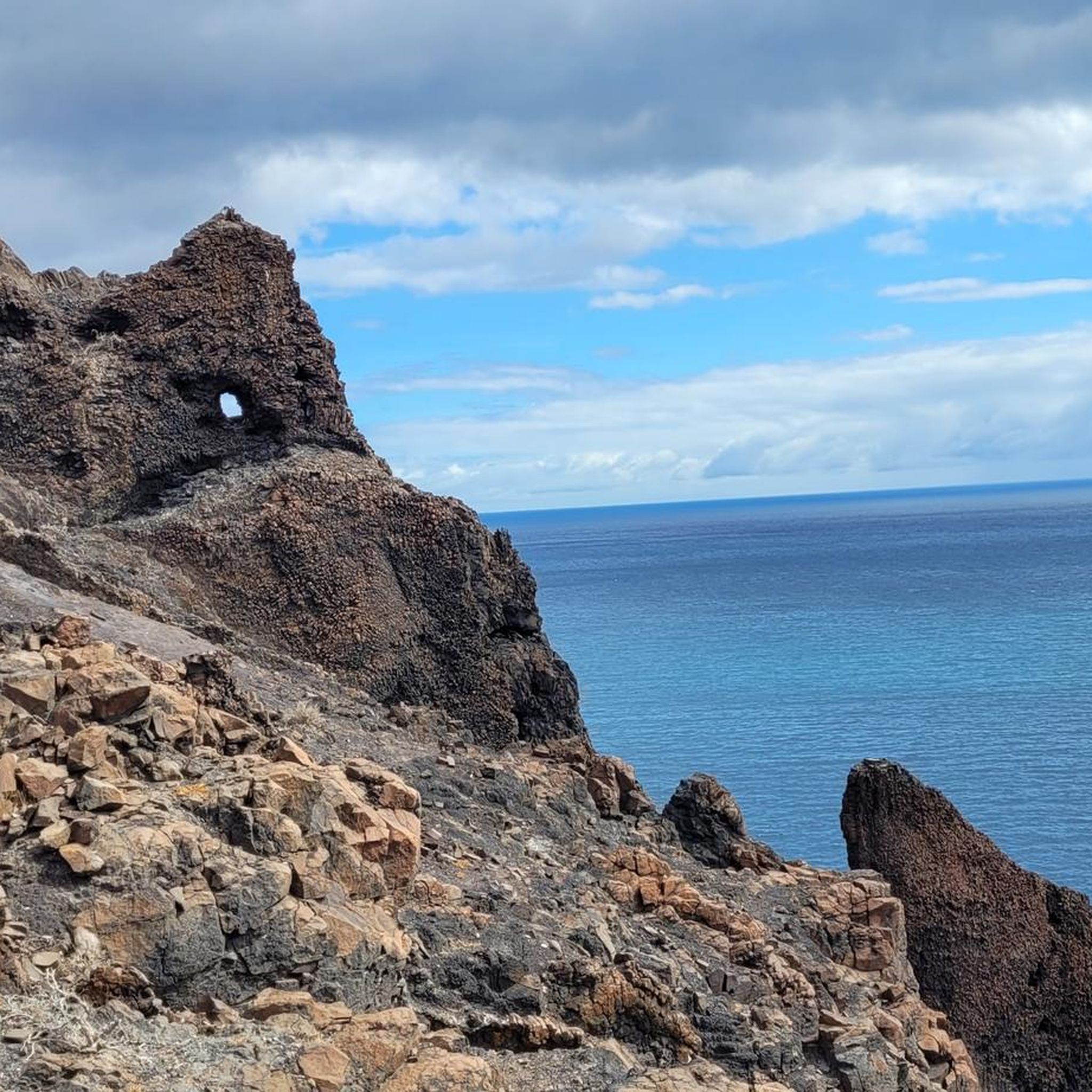
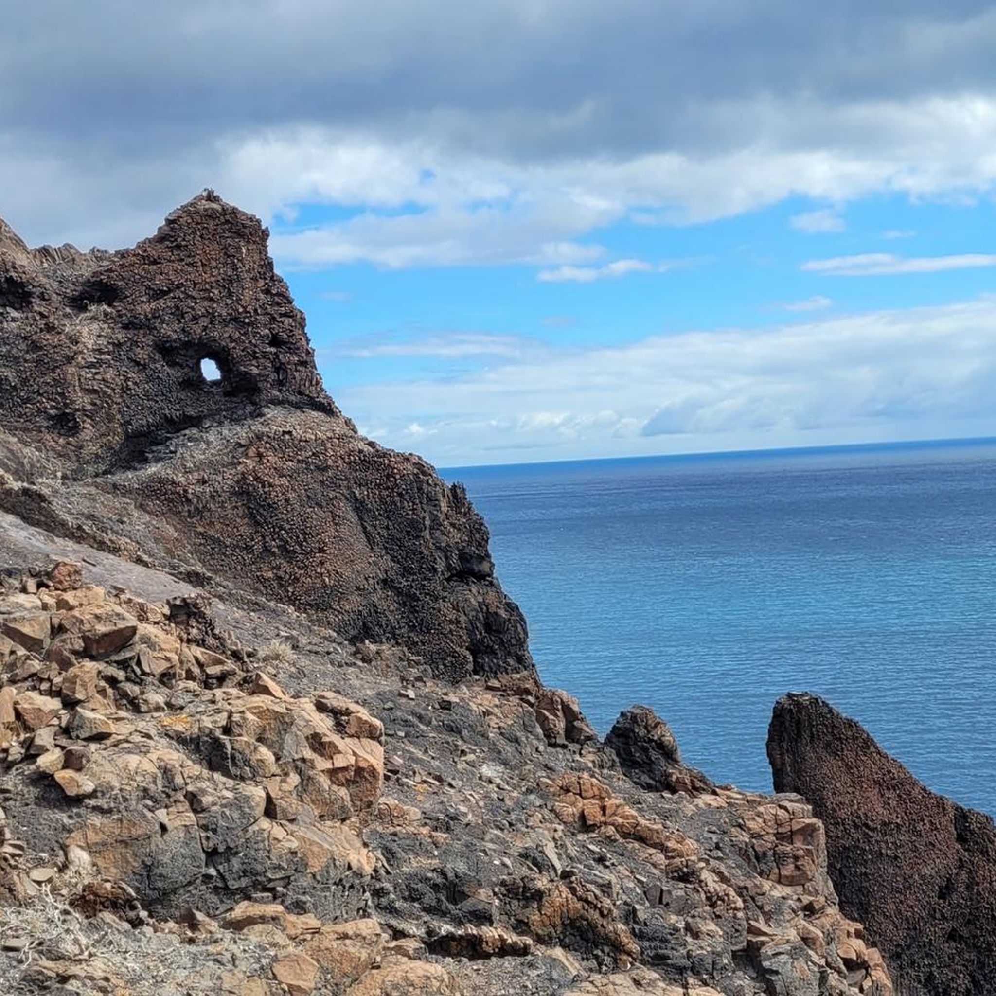
The Faro de la Entallada lighthouse stands on the east coast, not far from the village of Las Playitas in the Tuineje region. The lighthouse rises on a high cliff, about 200 meters above the sea, and is one of the places with the most expansive views on the island. The building was constructed in the mid-1950s from light-colored stone blocks. Its interior formerly housed living quarters for the lighthouse keepers. Its location is particularly remarkable: of all the points in the Canary Islands, it is the closest to the African mainland, only about 100 kilometers from the coast. The lighthouse served for a long time for navigation at sea and was also used as a landmark for flight paths. Today, it is primarily a popular viewpoint, accessible via a narrow, winding road. Once at the top, a sweeping panorama unfolds across the Atlantic Ocean, the steep cliffs, and the stark landscape of the east coast.
1
0

It's truly beautiful here. There are lots of crabs in the cave, which is absolutely fascinating to watch. Watch out for high tide.
1
0

The lighthouse includes an exhibition of African art, with free entry.
1
0
The climb to the summit pillar in gusty winds is not for the faint of heart, narrow and always sharp at the edge.
1
0

Impossible to pass through Playitas Resort and not take this route to the Lighthouse.
2
0

Quite rocky and it goes down very quickly if you're not careful 😀 I slipped and fell, luckily I only hurt myself very slightly 🤣
1
0

Beautiful hike with great views. We recommend!
0
0

Interesting hiking areas, but sturdy shoes are a must
1
0
Frequently Asked Questions
How many hiking trails are available around Tuineje?
There are over 100 hiking trails around Tuineje, catering to various skill levels. You'll find approximately 37 easy routes, 53 moderate trails, and 11 more challenging options to explore the region's diverse landscapes.
What kind of terrain can I expect on hikes in Tuineje?
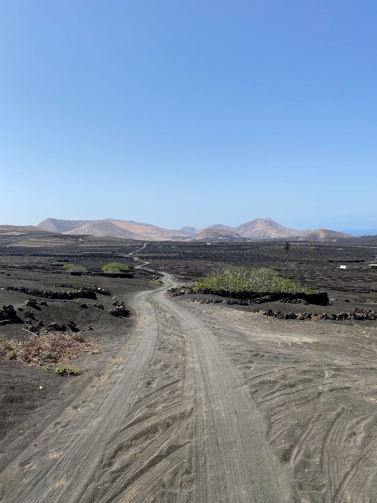
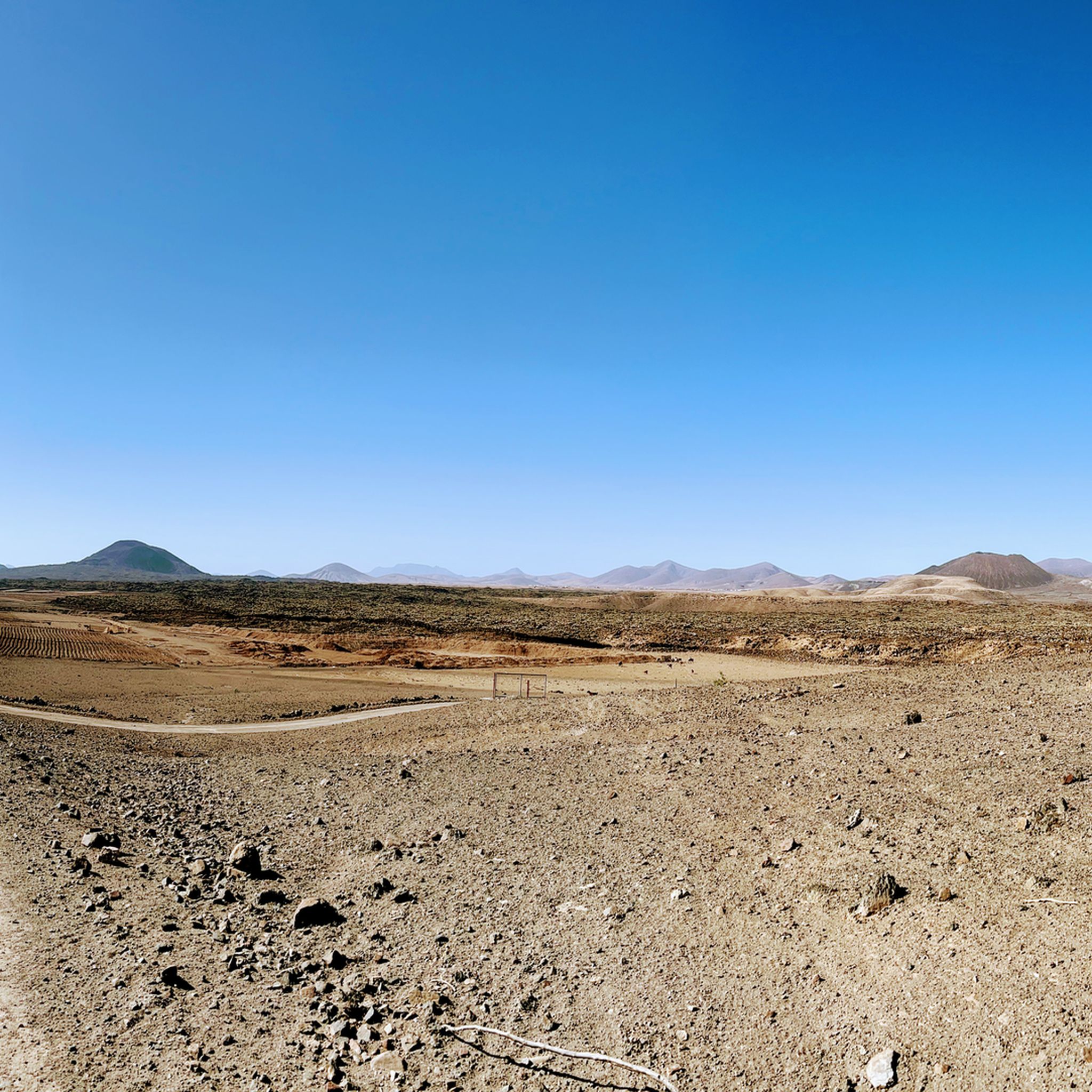
Tuineje offers a unique blend of volcanic landscapes, dramatic coastal cliffs, and tranquil inland areas. You can expect to hike around volcanic craters and calderas, along scenic coastlines with dark sand beaches, and through hills that provide panoramic views of Fuerteventura.
Are there any easy or beginner-friendly hiking routes in Tuineje?
Yes, Tuineje has several easy routes perfect for beginners or those looking for a relaxed walk. One such option is the Caldera de Gairía Volcano Trail, an easy 1.3-mile round trip that offers expansive views of the volcanic landscape.
Can I find circular hiking routes in Tuineje?
Yes, many routes in Tuineje are circular, allowing you to start and end at the same point. Examples include the Faro de la Entallada from La Playitas — round trip, the Giniginámar — round trip from Tarajalejo, and the Caldera de los Arrabales Loop.
What natural landmarks or viewpoints can I see along the hiking trails?
Hikers can discover several notable landmarks. The Ermita de la Peña and Presa de las Peñitas are found within the gorges, while the Arco de las Peñitas is a striking natural monument. The Faro de la Entallada lighthouse, perched on high cliffs, offers some of the most expansive sea views on the island.
Are there any dog-friendly hiking trails in Tuineje?
While specific regulations for dogs on trails can vary, many natural areas in Tuineje are generally accessible for dogs on a leash. It's always recommended to check local signage and ensure your dog is well-behaved and under control, especially in protected natural spaces like the Monumento Natural Caldera de Gairía.
What do other hikers enjoy most about hiking in Tuineje?
The hiking trails in Tuineje are highly rated by the komoot community, with an average score of 4.4 stars from over 500 reviews. Hikers often praise the unique volcanic scenery, the breathtaking coastal views, and the variety of routes suitable for different fitness levels.
What is the best time of year to go hiking in Tuineje?
Fuerteventura generally enjoys a mild climate year-round, making hiking possible in any season. However, the cooler months from autumn to spring (October to May) are often preferred for hiking to avoid the peak summer heat, especially on longer or more exposed trails.
Are there any trails that offer panoramic views of Fuerteventura?
Absolutely. The Ascent to Piedras Caídas is a moderate trail that rewards hikers with extensive panoramic views of the island's interior. Additionally, the Faro de la Entallada offers stunning vistas of the Atlantic Ocean and the coastline.
Can I reach hiking trails in Tuineje using public transport?
Public transport options exist to reach some of the towns and villages in Tuineje, such as Gran Tarajal, Las Playitas, and Tarajalejo, which can serve as starting points for hikes. However, access to more remote trailheads might require a car. It's advisable to check local bus schedules for specific routes.
Are there any family-friendly hiking options in Tuineje?
Many of the easier trails in Tuineje are suitable for families. The Caldera de Gairía Volcano Trail, for instance, is an easy and relatively short walk, perfect for families with children to experience the volcanic landscape.
Most popular attractions around Tuineje

Get inspired with the komoot mobile app


Explore more
Browse the best Hikes in other regions.
