The best MTB trails around Villamantilla
4.2
(185)
1,767
riders
103
rides
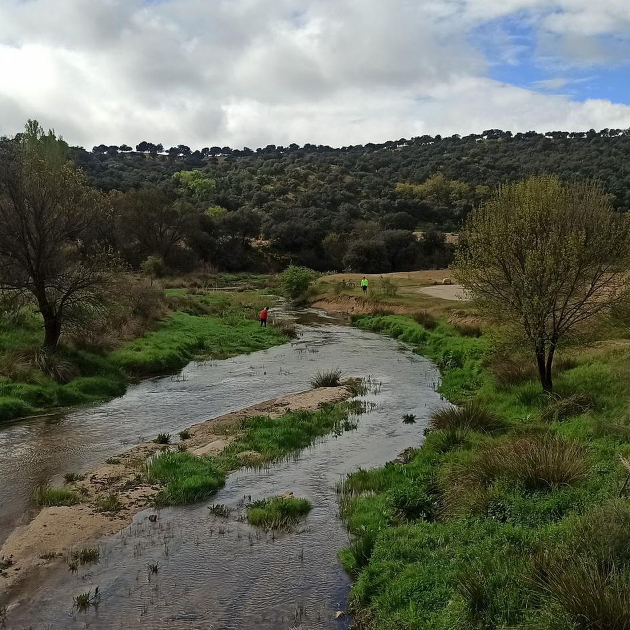
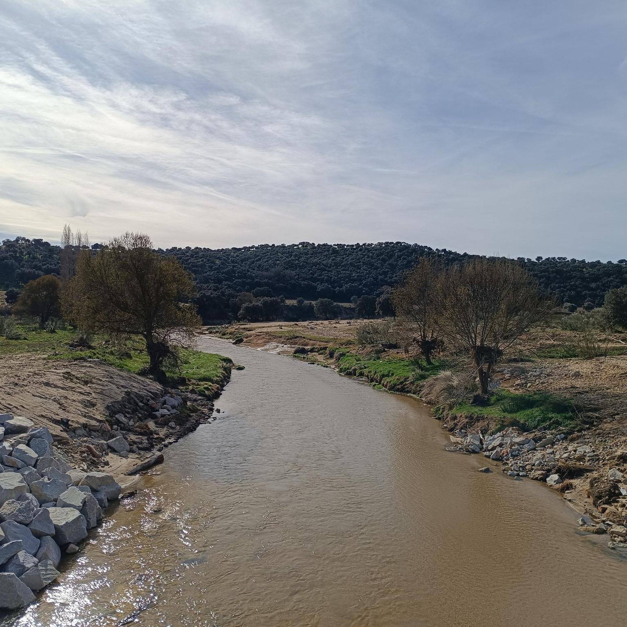
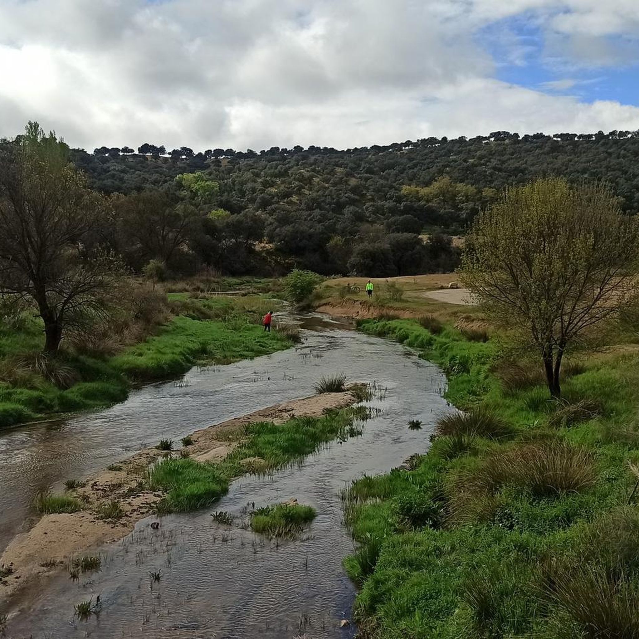
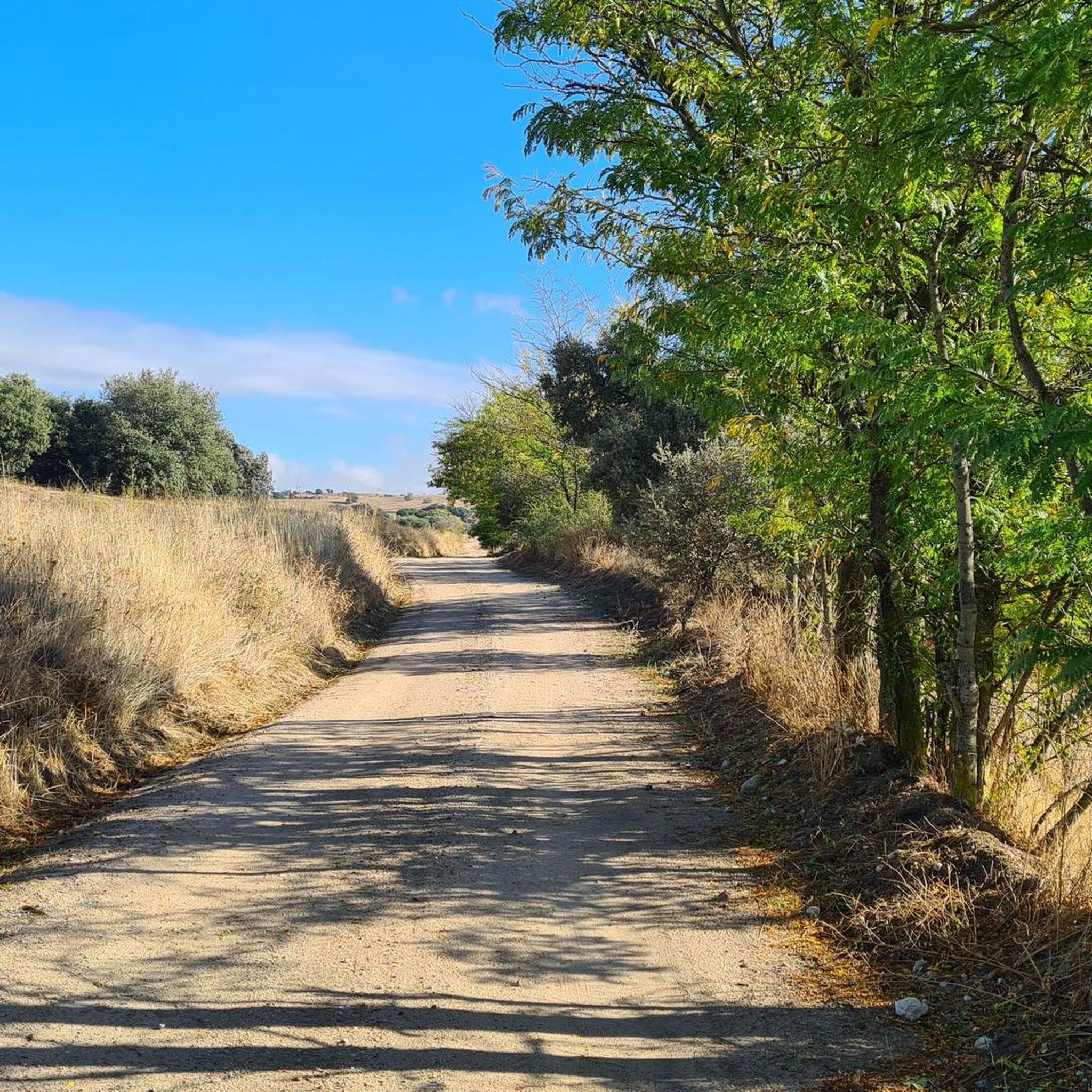
Mountain biking around Villamantilla offers diverse terrain across its dehesas, holm oak groves, and riparian forests. The region features varied surfaces and gradients, providing a dynamic backdrop for exploration. The Perales River enhances the scenic beauty, with routes often tracing its course. This mix of landscapes provides options for mountain bikers of varying skill levels.
Best mountain bike trails around Villamantilla
- The most popular mountain bike trail is Geodetic Point – Bridge Over the Perales River loop from Villamantilla,…
Last updated: July 5, 2026
4.0
(1)
81
riders
51.3km
04:46
790m
790m
Moderate mountain bike ride. Good fitness required. Advanced riding skills necessary.
5.0
(3)
30
riders
Moderate mountain bike ride. Good fitness required. Advanced riding skills necessary.

Sign up for free
3.0
(7)
21
riders
39.9km
03:20
370m
370m
Moderate mountain bike ride. Good fitness required. Suitable for all skill levels.
3.5
(4)
13
riders
30.8km
02:35
310m
310m
Moderate mountain bike ride. Good fitness required. Suitable for all skill levels.
5.0
(2)
13
riders
Moderate mountain bike ride. Great for any fitness level. Advanced riding skills necessary.
Get access to more routes and recommendations from other explorers.
Sign up for free
Already have an account?
Our route recommendations are based on thousands of hikes, rides, and runs completed by other people on komoot.
Start today with a free account
Your next adventure awaits.
Login or Signup

Tips from the Community

There are some sections where you have to pay close attention because there are no more paths... and at the last crossing under the bridge you have to take a bypass because it was flooded, finally we crossed by the road
0
0

affordable but calm
0
0
It ends in the dehesa of Seville, the new one is suitable for everyone even if it is uphill
0
0
You can stop in the shade to rest.
0
0
There is a garden that explains the flora of the place
0
0
Very cool place and the road in good condition
0
0
you really enjoy the smell of rockrose
0
0

Frequently Asked Questions
How many mountain bike trails are available around Villamantilla?
Komoot offers over 100 mountain bike trails around Villamantilla. These routes cater to various skill levels, with approximately 25 easy, 58 moderate, and 27 difficult options.
Are there any easy mountain bike trails suitable for beginners in Villamantilla?
Yes, Villamantilla offers several easy mountain bike trails perfect for beginners. These routes typically feature gentler gradients and less technical terrain, allowing new riders to enjoy the scenic dehesas and holm oak groves. There are about 25 easy routes available.
What kind of terrain can I expect on mountain bike trails in Villamantilla?
You can expect a diverse range of terrain, including characteristic Spanish dehesas with holm oak groves, agricultural fields, and riparian forests along the Perales River. This mix provides varied surfaces and gradients, from smooth paths to more rugged sections, some of which may even require pushing your bike on demanding segments.
Are there any challenging mountain bike routes for experienced riders?
Absolutely. For experienced riders seeking a challenge, Villamantilla offers difficult routes with significant elevation gain. An example is the Geodetic Point – Bridge Over the Perales River loop from Villamantilla, a 56 km trail with nearly 900 meters of elevation gain, typically taking over 5 hours to complete.
What are some popular moderate mountain bike trails in the area?
Many local mountain bikers enjoy moderate routes that balance challenge with scenic beauty. The Villamantilla Town Center – Bridge Over the Perales River loop from Villanueva de Perales is a popular 37.9 km path offering views of the Perales River and holm oak groves. Another favorite is the Navalcarnero Main Square – Cruz del Rayo loop from Villamantilla, a 41.1 km trail through agricultural fields and dehesas.
Are there any circular mountain bike routes around Villamantilla?
Yes, many mountain bike trails in Villamantilla are designed as loops, allowing you to start and finish at the same point. For instance, the Villamantilla Town Center – Bridge Over the Perales River loop from Villamantilla is a moderate 21.7 km circular route that offers a great experience without needing a return trip.
What can I see along the mountain bike trails in Villamantilla?
Beyond the natural beauty of dehesas and the Perales River, you can explore several points of interest. The Navalcarnero Main Square and the Villamantilla Town Center are notable settlements. You might also encounter the Hermitage of Our Lady Virgin of Socorro, offering a glimpse into local heritage.
What do other mountain bikers enjoy most about the trails in Villamantilla?
The mountain bike trails in Villamantilla are highly rated by the komoot community, with an average score of 4.3 stars from over 150 reviews. Riders often praise the varied landscapes, including the peaceful holm oak groves and the scenic stretches along the Perales River, as well as the well-maintained network of trails suitable for different skill levels.
Are there any mountain bike routes that offer good viewpoints?
Many routes in Villamantilla traverse elevated sections and open dehesas, providing scenic vistas of the surrounding countryside. While specific named viewpoints are not always marked, trails passing through holm oak groves and along river courses often offer picturesque spots to pause and enjoy the views.
What is the best time of year for mountain biking in Villamantilla?
The spring and autumn months generally offer the most pleasant conditions for mountain biking in Villamantilla, with milder temperatures. Summers can be hot, making early morning or late afternoon rides preferable. Winters are typically mild, but checking local weather conditions is always advisable.
Are there any family-friendly mountain bike trails in Villamantilla?
While specific 'family-friendly' designations aren't always explicit, the easier routes with less elevation gain and smoother terrain are generally suitable for families with children who have some biking experience. Look for routes categorized as 'easy' for a more relaxed family outing.
Where can I find parking for mountain bike trails in Villamantilla?
Parking is generally available in or near the town centers of Villamantilla and surrounding villages, which often serve as starting points for many routes. For specific trailheads, it's advisable to check the route details on komoot, as local parking options may be indicated there.
How long do mountain bike trails in Villamantilla typically take to complete?
Trail durations vary significantly based on distance, difficulty, and your pace. Shorter, moderate routes like the Villamantilla Town Center – Mar de Jaras Ascent loop from Villamantilla (30.8 km) can take around 2.5 to 3 hours, while longer, more challenging trails can extend to 5 hours or more.
Most popular routes around Villamantilla
Most popular attractions around Villamantilla

Get inspired with the komoot mobile app


Explore more
Browse the best MTB trails in other regions.
