The best walks and hikes around Marquina-Jeméin
4.3
(145)
1,077
hikers
27
hikes
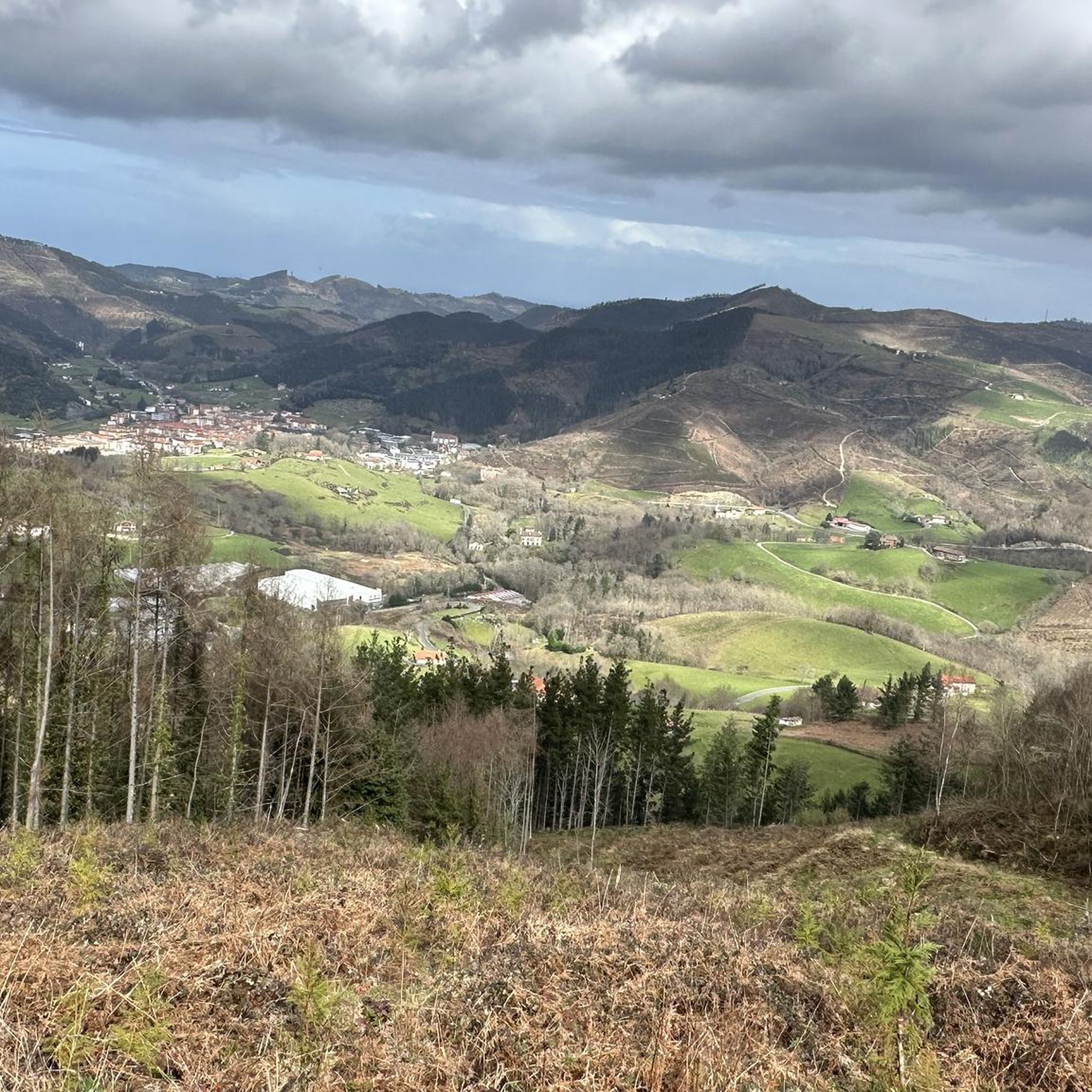
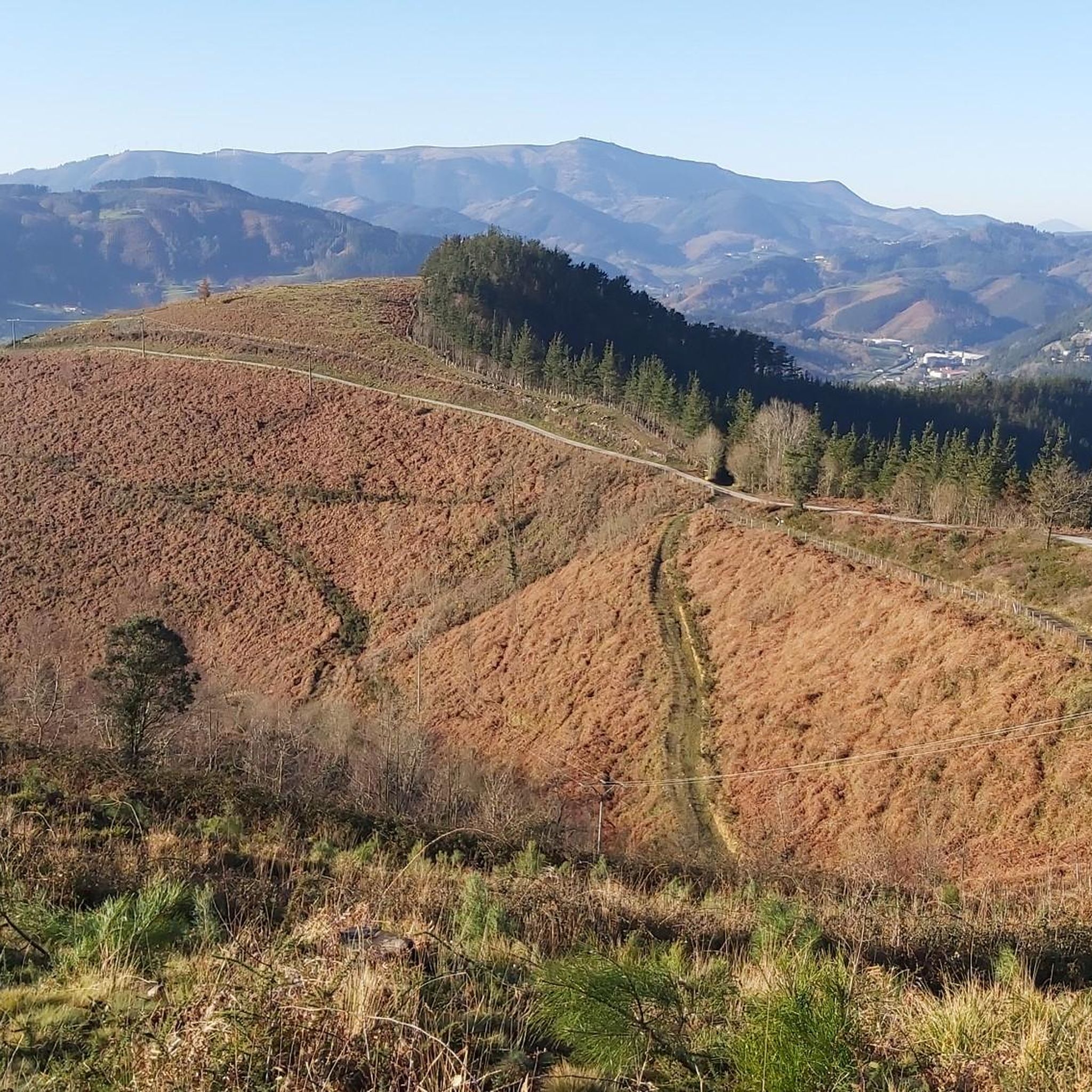
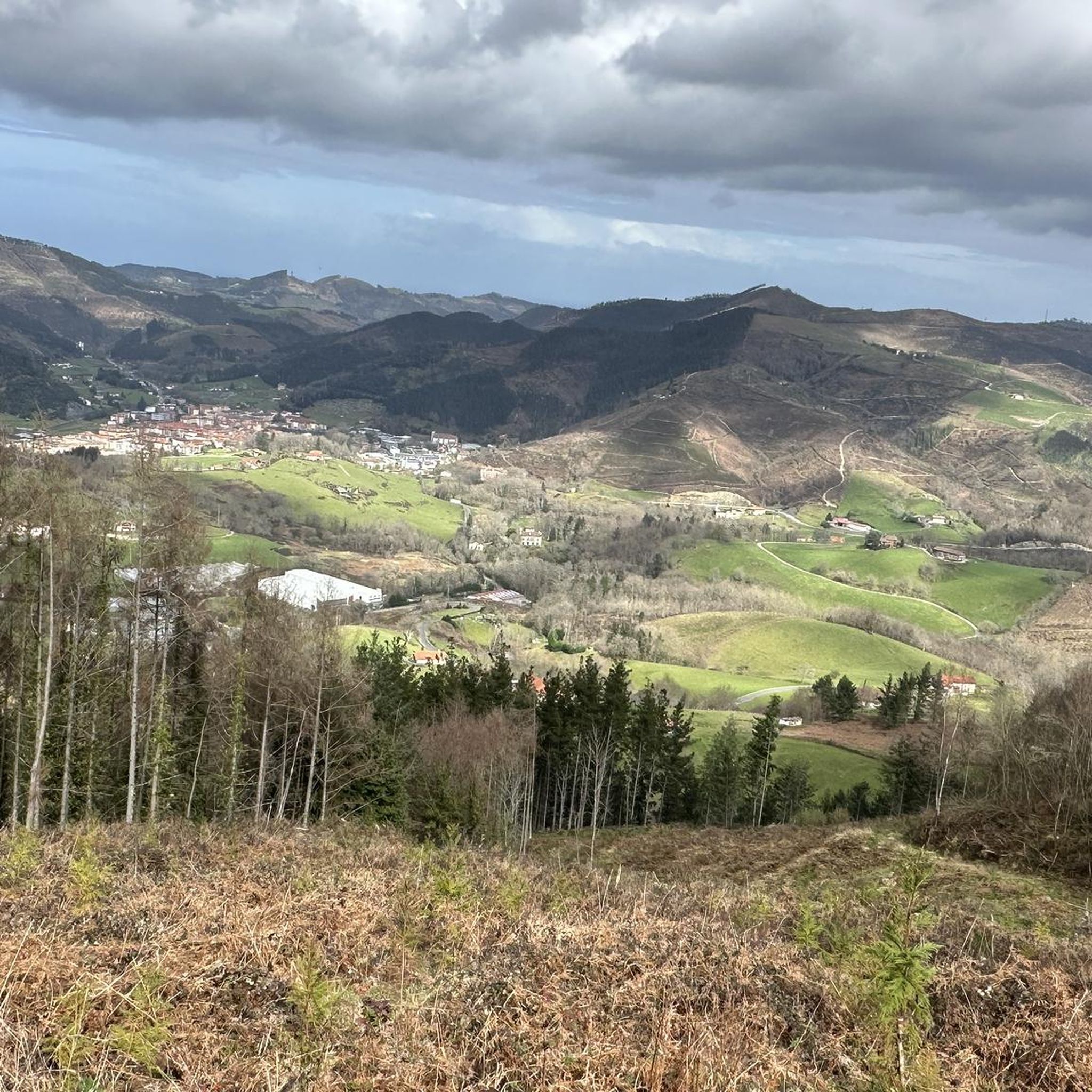
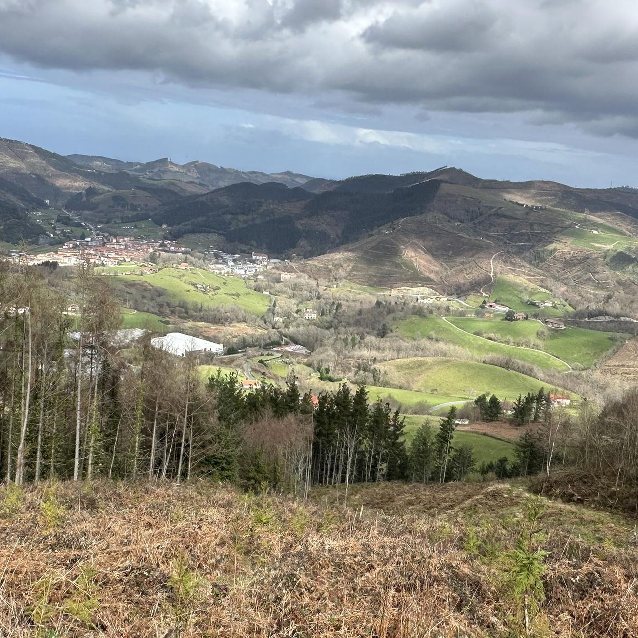
Hiking around Marquina-Jeméin offers diverse landscapes, blending coastal influences with mountainous terrain in the Basque Country. The region features varied topography, from gentle paths through forests to challenging ascents in the Basque Hills. It is also a significant point on the historic Camino de Santiago's Northern Route, adding a cultural dimension to outdoor pursuits. Hikers can explore a mix of natural features and historical landmarks.
Best hiking trails around Marquina-Jeméin
- The most popular hiking route is Urregarai and Santa Eufemia…
Last updated: July 7, 2026
4.5
(6)
33
hikers
11.8km
04:12
660m
660m
Moderate hike. Good fitness required. Mostly accessible paths. Sure-footedness required.
1
hikers
25.1km
08:18
990m
990m
Hard hike. Very good fitness required. Mostly accessible paths. Sure-footedness required.

Sign up for free
4.8
(24)
170
hikers
12.1km
03:19
180m
180m
Moderate hike. Good fitness required. Easily-accessible paths. Suitable for all skill levels.
4.6
(8)
52
hikers
23.6km
07:23
850m
850m
Hard hike. Very good fitness required. Easily-accessible paths. Suitable for all skill levels.
4.7
(7)
40
hikers
6.67km
01:46
60m
60m
Easy hike. Great for any fitness level. Easily-accessible paths. Suitable for all skill levels.
Get access to more routes and recommendations from other explorers.
Sign up for free
Already have an account?
Our route recommendations are based on thousands of hikes, rides, and runs completed by other people on komoot.
Start today with a free account
Your next adventure awaits.
Login or Signup

Tips from the Community

It was built at the end of the 17th century and beginning of the 18th century on a previous building. The house is associated with a mill and a forge. The building, a huge cubic block built of masonry and ashlar, preserves on its façade the Ansotegui shield, which is believed to come from Andrés Ansotegui, knight of the Order of Calatrava (order whose cross appears on the shield).
0
0

Within the historic center of Markina-Xemein you can pass by this baroque-style church, which also has a convent attached to it.
0
0
This 770 meter high summit is an excellent vantage point from which to observe the mountains that surround us. It is an outcrop of slate. At its vertex, in addition to beautiful views, you can find several mailboxes.
1
0
This peak in the Markina-Xemein area is 433 meters high. The classic and also fastest route to climb is from Markina-Xemein.
0
0
This hexagonal-shaped hermitage from the 18th century was built because the previous one was in ruins. The three large rocks inside draw attention, holding each other together. Within these rocks is the figure of the Archangel Saint Michael.
0
0

Highest point on the Camino Tour to Makina Xemein
0
0

Nice path through the forest that surrounds Mount Jaungolkomendi. In some sections the trees give way to beautiful views of the mountains.
0
0

Summit in the massif that separates the valleys of Aulesti and Markina.
1
0
Frequently Asked Questions
How many hiking trails are available around Marquina-Jeméin?
There are over 25 hiking trails around Marquina-Jeméin, offering a variety of experiences from easy walks to challenging ascents. The komoot community has rated these routes highly, with an average score of 4.4 stars.
What kind of terrain can I expect on hikes around Marquina-Jeméin?
The terrain around Marquina-Jeméin is quite diverse, characterized by a blend of sea and mountain landscapes. You can expect paths through extensive forests, rolling Basque Hills, and varied topography that includes both gentle sections and significant elevation changes. Some routes also offer panoramic views.
Are there challenging hikes with significant elevation gain?
Yes, Marquina-Jeméin offers several challenging hikes with significant elevation gain. For example, the Akarregi y Kalamua — circular desde Markina-Xemein is a difficult 15.6-mile path that traverses the Basque Hills and forests with substantial ascents.
Are there any circular hiking routes in the area?
Yes, there are several circular hiking routes. A notable one is the Akarregi y Kalamua — circular desde Markina-Xemein, which offers a challenging experience. Another option is the Ubanji Guesthouse, Bolibar loop from Markina-Xemein, a moderate 7.5-mile trail.
What historical or natural landmarks can I see on hikes around Marquina-Jeméin?
Hiking routes often incorporate visits to historical sites and natural features. The Urregarai and Santa Eufemia Trail leads to a historic mountaintop hermitage. You can also explore peaks like Kalamua Summit or Otoio Summit, and mountain passes such as Alto de Karabieta.
Is Marquina-Jeméin part of the Camino de Santiago?
Yes, Marquina-Jeméin is a significant point on the Camino de Santiago's Northern Route (Camino del Norte). This historic pilgrimage route adds a cultural dimension to the hiking experience, with segments like the one from Deba to Markina-Xemein known for their varied terrain.
Are there family-friendly hiking trails in Marquina-Jeméin?
Yes, there are easy trails suitable for families. For instance, the Ansotegui Palace loop from Markina-Xemein is an easy 4.1-mile route with minimal elevation gain, perfect for a leisurely family walk.
What do other hikers enjoy most about hiking in Marquina-Jeméin?
The area is highly rated by the komoot community, with an average score of 4.4 stars from over 100 reviews. Hikers often praise the diverse landscapes, the blend of sea and mountain views, and the cultural richness provided by historical sites and the Camino de Santiago.
Can I bring my dog on the trails around Marquina-Jeméin?
While specific regulations for dogs on trails can vary, generally, many outdoor areas in the Basque Country are dog-friendly. It's always recommended to keep your dog on a leash, especially in areas with livestock or wildlife, and to check local signage for any specific restrictions on individual trails.
What is the best time of year to go hiking in Marquina-Jeméin?
The diverse landscapes of Marquina-Jeméin make it suitable for hiking throughout much of the year. Spring and autumn offer pleasant temperatures and vibrant scenery, while summer provides longer daylight hours. Even winter can be appealing for those seeking quieter trails, though some higher elevation paths might require more preparation.
Are there any trails that offer views of the coast or waterfalls?
While Marquina-Jeméin itself is inland, its location in the Lea Artibai district means it's part of a broader landscape of 'sea and mountains'. Nearby coastal towns like Ondarroa offer trails with views of the Cantabrian Sea and even feature waterfalls, providing diverse natural environments for exploration.
How can I find parking for hiking trails in Marquina-Jeméin?
Many trailheads in and around Marquina-Jeméin, especially those starting from the town itself or smaller villages, typically have designated parking areas or roadside parking available. It's advisable to check the specific tour details on komoot for information on parking at the start point of your chosen route.
Most popular routes around Marquina-Jeméin
Most popular attractions around Marquina-Jeméin

Get inspired with the komoot mobile app


Explore more
Browse the best Hikes in other regions.
