The best walks and hikes around Descargamaría
4.6
(24)
313
hikers
25
hikes
Hiking around Descargamaría offers diverse landscapes within the Sierra de Gata region, characterized by lush forests of oaks and cork oaks, verdant valleys, and impressive mountains. The Árrago River is a central feature, contributing to rich aquatic environments and natural pools. The Descargamaría hiking terrain includes varied elevations, from river valleys to significant climbs, providing a range of experiences for hikers.
Best hiking trails around Descargamaría
- The most popular hiking route is Descargamaría to Ovejuela — circular via Robledillo de…
Last updated: June 25, 2026
4.0
(1)
14
hikers
22.0km
07:03
910m
910m
Hard hike. Very good fitness required. Easily-accessible paths. Suitable for all skill levels.
27.0km
07:15
320m
330m
Hard hike. Very good fitness required. Easily-accessible paths. Suitable for all skill levels.

Sign up for free
4.3
(3)
79
hikers
5.95km
01:43
150m
150m
Easy hike. Great for any fitness level. Easily-accessible paths. Suitable for all skill levels.
5.0
(1)
20
hikers
15.6km
05:17
800m
800m
Hard hike. Very good fitness required. Easily-accessible paths. Suitable for all skill levels.
5.0
(1)
9
hikers
3.86km
01:13
150m
150m
Easy hike. Great for any fitness level. Easily-accessible paths. Suitable for all skill levels.
Get access to more routes and recommendations from other explorers.
Sign up for free
Already have an account?
Our route recommendations are based on thousands of hikes, rides, and runs completed by other people on komoot.
Start today with a free account
Your next adventure awaits.
Login or Signup
Tips from the Community

This is a beautiful little town where life slows down. It is located at the foot of the Sierra de Gata. It has charming little streets and a way of life that hasn't changed in years.
1
0
It is a beautiful waterfall that, depending on the time of year, can be almost dry or flow strongly. The trail from Ovejuela follows the river and is not too long or too steep.
2
0
Descargamaría is a municipality in the province of Cáceres. In 2011 it had a population of 190 inhabitants. An interesting fact is that it has the highest percentage of nudists in the world.
1
0
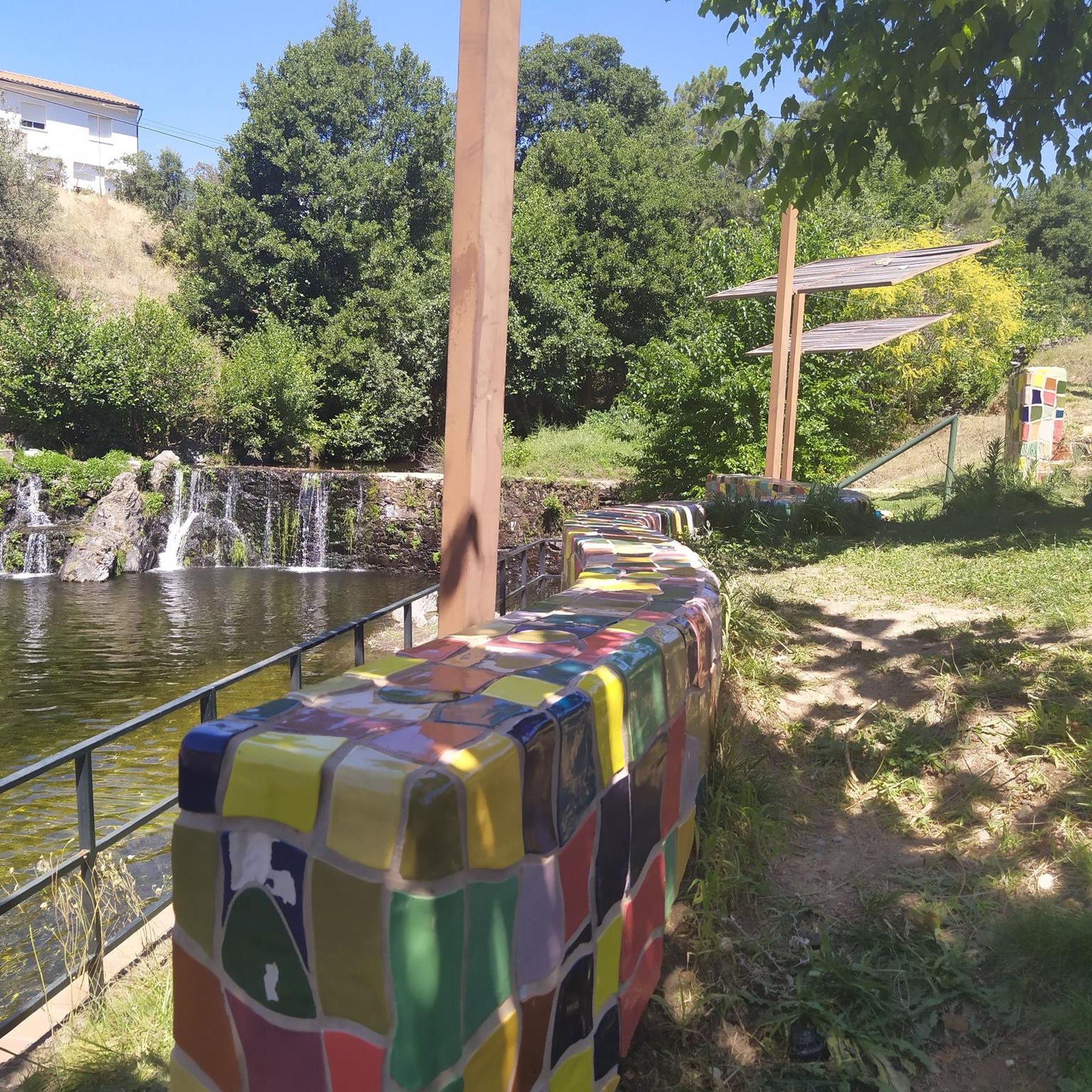
Natural pools on the side of the road for a quick dip. There is also a small park with a picnic area across the road.
1
0

Beautiful town that is located at the foot of the Sierra de Gata and from where the rural essence of these towns is still preserved, far from the big cities. The alleys, the urbanism of the houses and their location make it a special place!
0
0

Swimming pool at the foot of the road to relax your legs with ice cold water from the mountains.
0
1
Frequently Asked Questions
How many hiking trails are available around Descargamaría?
Descargamaría offers a good selection of hiking routes, with over 20 trails available. These range in difficulty, providing options for various fitness levels, from easy strolls to more challenging treks through the Sierra de Gata.
What kind of terrain can I expect on hikes in Descargamaría?
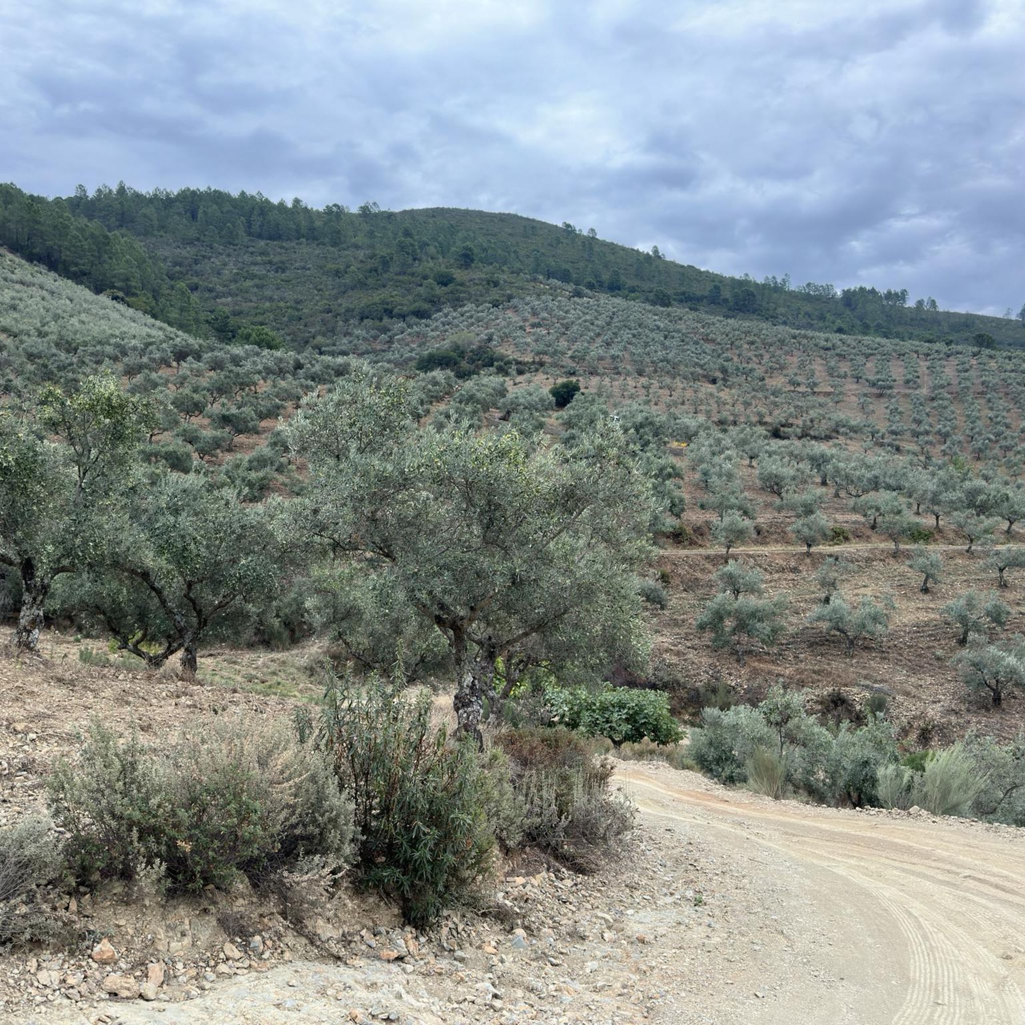
The hiking terrain around Descargamaría is diverse, featuring lush forests of oaks and cork oaks, verdant valleys, and impressive mountains within the Sierra de Gata. You'll encounter varied elevations, from gentle river valleys to significant climbs, often rewarding you with panoramic views.
Are there any family-friendly hiking options in Descargamaría?
Yes, Descargamaría has several easy trails suitable for families. For instance, the Chorrituelo Waterfall – Wooden Bridge Over Stream loop from Río Ovejuela is an easy 5.9 km path that leads through natural surroundings to the impressive Chorrituelo Waterfall, making it a great choice for a family outing.
Can I bring my dog on the hiking trails in Descargamaría?
Many trails in the Descargamaría region are dog-friendly, allowing you to explore the natural beauty with your canine companion. It's always recommended to keep dogs on a leash, especially in areas with wildlife or near livestock, and to carry water for them.
Are there any waterfalls to see on the hikes around Descargamaría?
Absolutely. The region is known for its beautiful waterfalls. You can visit the impressive Chorrituelo Waterfall, which is accessible via routes like the Chorrituelo Waterfall – Wooden Bridge Over Stream loop from Río Ovejuela. The Chorro de la Ovejuela, reaching approximately 70 meters, is particularly striking during rainy seasons.
What are some notable natural features or landmarks I might encounter?
Beyond waterfalls, you can explore the Natural Pool of Descargamaría, known for its unique design and mosaics. The 'El Chorrito Route' offers the Chorro de los Ángeles Viewpoint, providing stunning views of a 100-meter waterfall and opportunities to spot griffon vultures.
Are there any circular hiking routes available?
Yes, several circular routes are available. A popular option is the Descargamaría to Ovejuela — circular via Robledillo de Gata, a challenging 22 km trail offering extensive views. Another is the Chorrituelo Waterfall – Robledillo de Gata loop from Robledillo de Gata, a moderate 12.4 km loop.
What do other hikers say about the trails in Descargamaría?
The trails in Descargamaría are highly regarded by the komoot community, with an average rating of 4.7 stars from over 20 reviews. Hikers often praise the lush forests, river valleys, and the panoramic views of the Árrago river valley.
Are there any natural pools for swimming after a hike?
Yes, Descargamaría is known for its natural pools. The Natural Pool of Descargamaría on the Árrago River is a popular spot for relaxation and swimming, often featuring colorful mosaics and a small waterfall. The Piscina Natural del Arroyo Noblea is another oasis hidden among the vegetation.
What is the best time of year to go hiking in Descargamaría?
The Sierra de Gata region, where Descargamaría is located, offers pleasant hiking conditions for much of the year. Spring and autumn generally provide the most comfortable temperatures and vibrant scenery. During rainy seasons, waterfalls like Chorro de la Ovejuela are particularly impressive.
Are there any long-distance or challenging hikes in the area?
For those seeking a challenge, Descargamaría offers several difficult routes. The Descargamaría to Ovejuela — circular via Robledillo de Gata is a difficult 22 km trail with significant elevation changes. Another challenging option is the Wooden Bridge Over Stream – Chorrituelo Waterfall loop from Ovejuela, spanning over 15 km.
Can I find places to eat or stay in Descargamaría?
Descargamaría maintains a well-preserved rural charm with narrow streets and traditional stone houses. While specific establishments are not detailed here, the village offers a tranquil escape, and you can typically find local amenities like cafes, pubs, and rural accommodation to support your hiking trip.
Most popular attractions around Descargamaría

Get inspired with the komoot mobile app


Explore more
Browse the best Hikes in other regions.
