The best walks and hikes around Cadalso
4.7
(26)
323
hikers
23
hikes
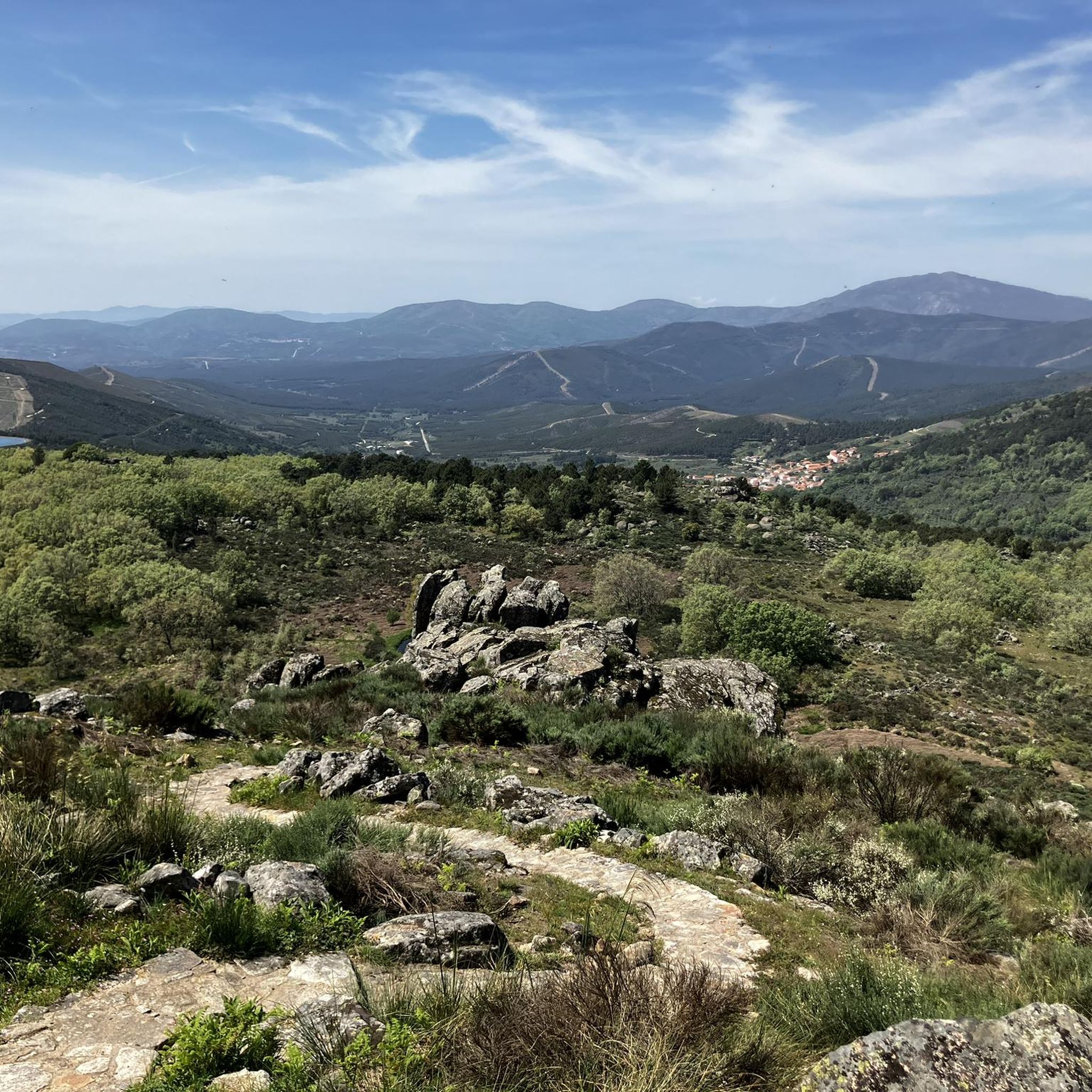
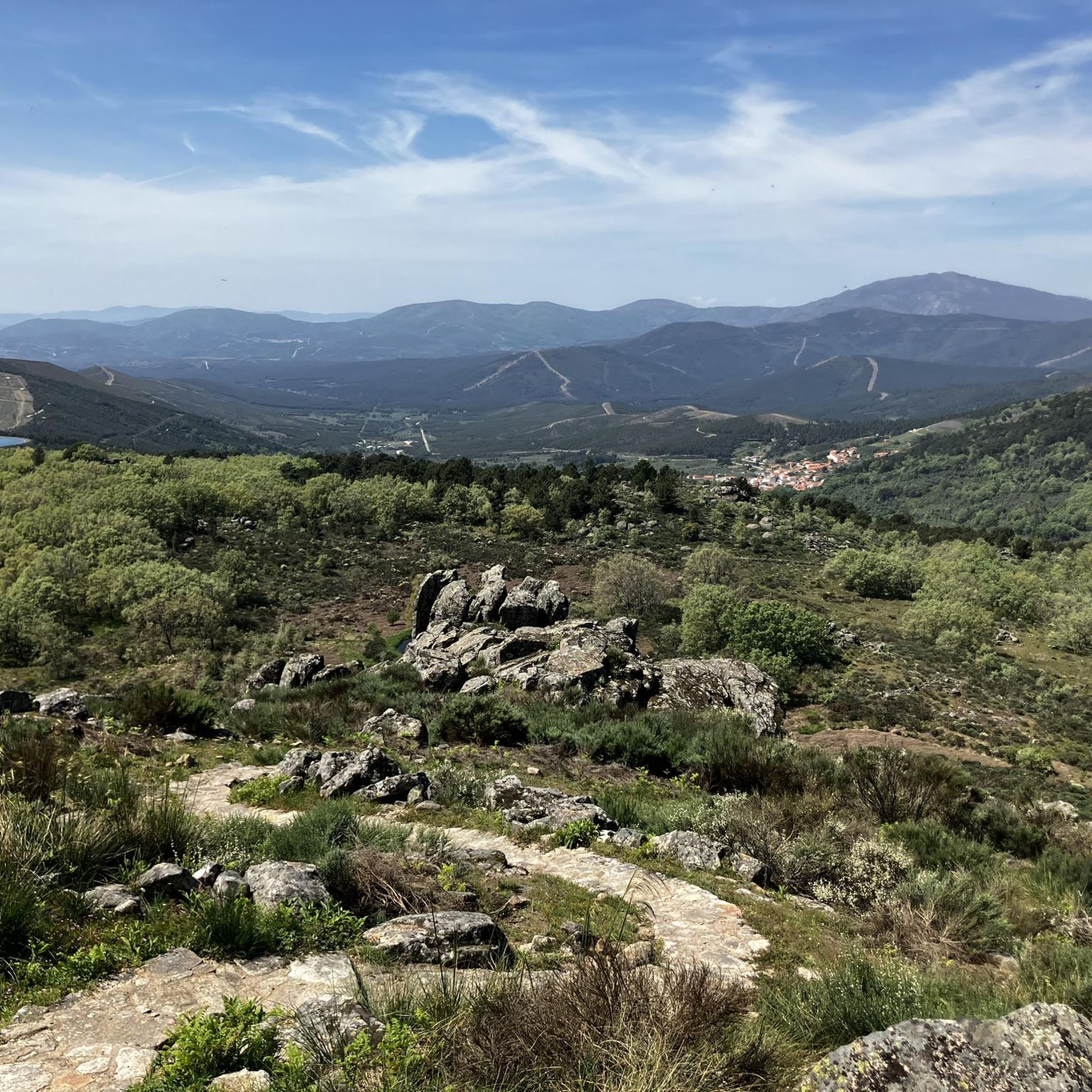
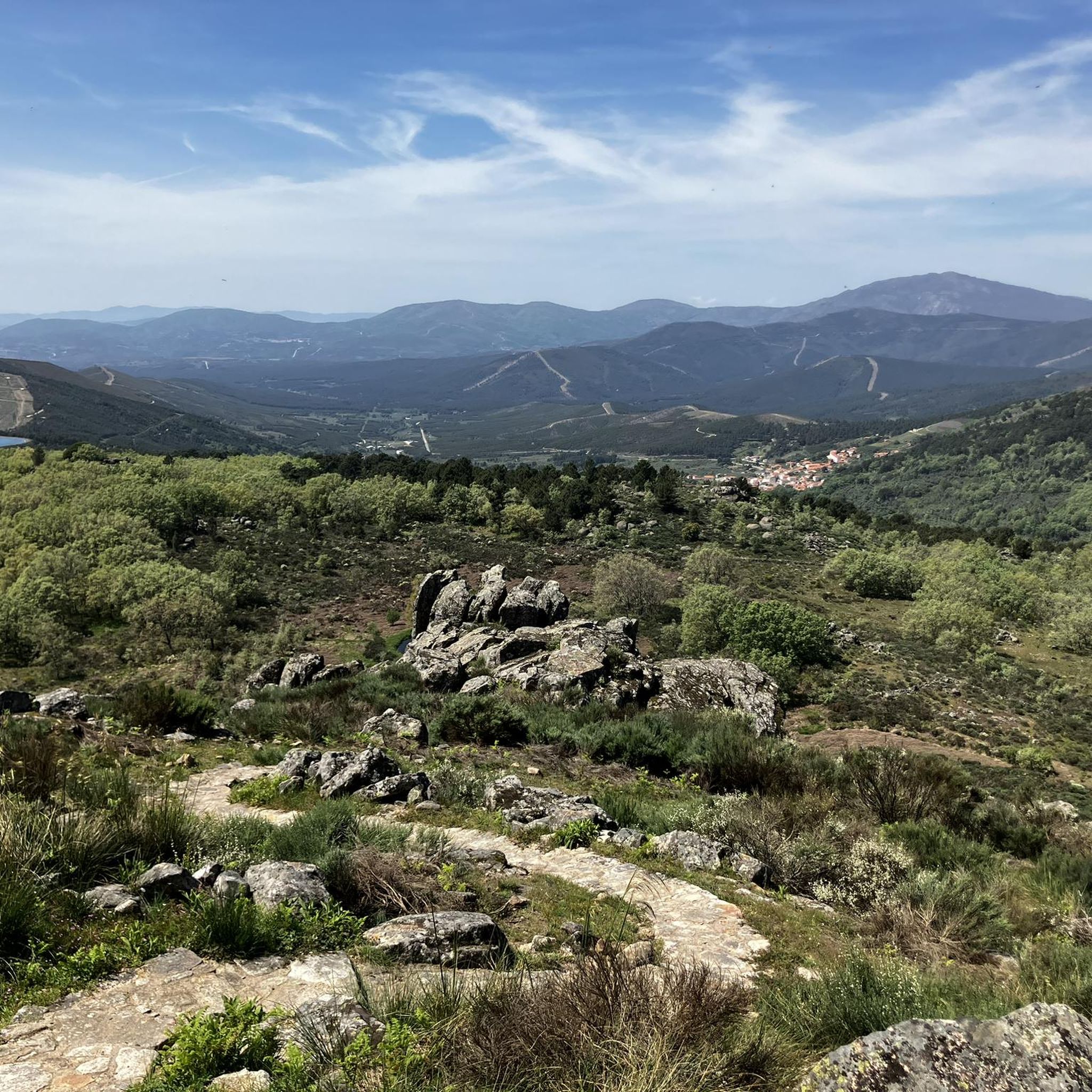
Hiking around Cadalso offers a diverse landscape characterized by mountainous terrain, dense forests, and traditional villages within the Sierra de Gata region. The area features a network of trails that traverse varied elevations, including paths along the GR 10 E03 long-distance route. Hikers can expect to encounter a mix of challenging ascents and more gentle paths through natural surroundings.
Best hiking trails around Cadalso
- The most popular hiking route is Torre Almenara from Gata — circular by Camino de la…
Last updated: July 9, 2026
4.3
(3)
24
hikers
9.79km
03:15
370m
350m
Hard hike. Good fitness required. Sure-footedness, sturdy shoes and alpine experience required.
4.0
(1)
14
hikers
22.0km
07:03
910m
910m
Hard hike. Very good fitness required. Easily-accessible paths. Suitable for all skill levels.

Sign up for free
9
hikers
Hard hike. Very good fitness required. Easily-accessible paths. Suitable for all skill levels.
27.0km
07:15
320m
330m
Hard hike. Very good fitness required. Easily-accessible paths. Suitable for all skill levels.
4.3
(3)
26
hikers
10.5km
03:13
360m
360m
Moderate hike. Good fitness required. Mostly accessible paths. Sure-footedness required.
Get access to more routes and recommendations from other explorers.
Sign up for free
Already have an account?
Our route recommendations are based on thousands of hikes, rides, and runs completed by other people on komoot.
Start today with a free account
Your next adventure awaits.
Login or Signup
Tips from the Community

The Cruz de la Piedra pass is a mountain pass in the Sierra del Salido and also a crossroads between the highway and the forest trails and tracks that run through the mountains and connect Torre de Don Miguel and Gata, in the province. from Caceres. At its highest point there is a stone cross.
1
0

At this point you will find a Roman stone cross. It is also a high point where there are some good views. It's just off the road but worth a visit.
2
0
This is a beautiful little town where life slows down. It is located at the foot of the Sierra de Gata. It has charming little streets and a way of life that hasn't changed in years.
1
0
It is a beautiful waterfall that, depending on the time of year, can be almost dry or flow strongly. The trail from Ovejuela follows the river and is not too long or too steep.
2
0
Descargamaría is a municipality in the province of Cáceres. In 2011 it had a population of 190 inhabitants. An interesting fact is that it has the highest percentage of nudists in the world.
1
0
Natural pools on the side of the road for a quick dip. There is also a small park with a picnic area across the road.
1
0
This lovely little spot just off the main trail is a nice flat spot for a picnic or just taking a break from a long hike. It is just below the Joñona peak (1360 m) at about 1220 meters. At certain times of the year, it can be wet and swampy.
1
0
The Torre de Almenara is at the top of a short steep climb. The trail can be a bit tricky at times, but it's easy to see where you're going. This small castle has been conquered and reconquered numerous times and has an interesting history.
3
0
Frequently Asked Questions
How many hiking trails are there in Cadalso?
Cadalso offers a wide variety of hiking experiences, with over 20 trails available. These routes cater to different skill levels, including easy, moderate, and difficult options.
What is the best time of year to go hiking in Cadalso?
The mountainous terrain of Cadalso, part of the Sierra de Gata region, is generally best explored during spring and autumn. These seasons offer pleasant temperatures and vibrant natural scenery. Summer can be very hot, while winter may bring colder conditions and potential snow at higher elevations.
Are there easy hikes suitable for beginners in Cadalso?
Yes, Cadalso has several easy hiking options perfect for beginners or those looking for a relaxed walk. There are 6 easy routes available, offering gentle paths through the natural surroundings.
Are there any circular hiking routes in Cadalso?
Many of the trails in Cadalso are circular, allowing you to start and end in the same location. For example, the Roman Stone Cross – Torre de Almenara loop from Gata is a moderate circular route that takes you through scenic landscapes.
What interesting sights or landmarks can I see while hiking in Cadalso?
The Cadalso area is rich in natural beauty and historical points of interest. You can encounter landmarks such as the historic Torre de Almenara, charming settlements like Villasbuenas de Gata Village Square, and the picturesque village of Robledillo de Gata.
Are there any waterfalls to visit near Cadalso?
Yes, the region boasts beautiful natural features, including the Chorrituelo Waterfall, which can be a refreshing stop on your hike.
Where can I find scenic viewpoints on the trails?
Cadalso offers several trails with panoramic vistas. The Mirador de la Majá de la Sierra from Gato route leads through mountain pastures to stunning viewpoints. Additionally, the Chorro de los Ángeles Viewpoint provides expansive views of the landscape.
Are there family-friendly hiking options in Cadalso?
While many trails involve varied elevations, there are easy routes that can be suitable for families. Look for shorter, less strenuous paths, particularly those labeled as 'easy' in the route descriptions, to ensure a comfortable experience for all ages.
Can I bring my dog on the hiking trails in Cadalso?
Generally, dogs are welcome on many hiking trails in the Cadalso area. However, it's always advisable to keep your dog on a leash, especially in areas with livestock or protected wildlife. Please be mindful of local regulations and clean up after your pet.
What are the parking options for trailheads in Cadalso?
Parking availability varies by trailhead. In many villages and near popular starting points, you can often find designated parking areas or roadside spots. It's recommended to check specific route details or local maps for the most convenient parking options for your chosen hike.
Is it possible to reach trailheads by public transport?
Public transport options to reach specific trailheads in the Cadalso region can be limited, especially for more remote routes. While some villages may have bus connections, accessing the exact starting points of trails often requires a car. It's best to research local bus schedules if you plan to rely on public transport.
Are there places to eat or get refreshments near the hiking paths?
Many hiking routes in Cadalso pass through or near traditional villages where you can find local cafes, bars, or small shops to refuel. It's always a good idea to carry sufficient water and snacks, especially on longer routes, as services may not be directly on the trail.
What do other hikers say about the trails in Cadalso?
The hiking trails around Cadalso are highly regarded by the komoot community, with an impressive average rating of 4.7 stars from over 20 reviews. Hikers often praise the diverse landscapes, the mix of challenging ascents and gentle paths, and the connection to historic villages.
Are there any less crowded hiking trails in Cadalso?
To find less crowded trails, consider exploring some of the longer or more challenging routes, as these tend to attract fewer hikers. Additionally, hiking during off-peak seasons or on weekdays can offer a more solitary experience. The region has 21 trails, so there are plenty of options beyond the most popular ones.
Most popular attractions around Cadalso

Get inspired with the komoot mobile app


Explore more
Browse the best Hikes in other regions.
