The best walks and hikes around Valsequillo De Gran Canaria
4.4
(1851)
6,355
hikers
65
hikes
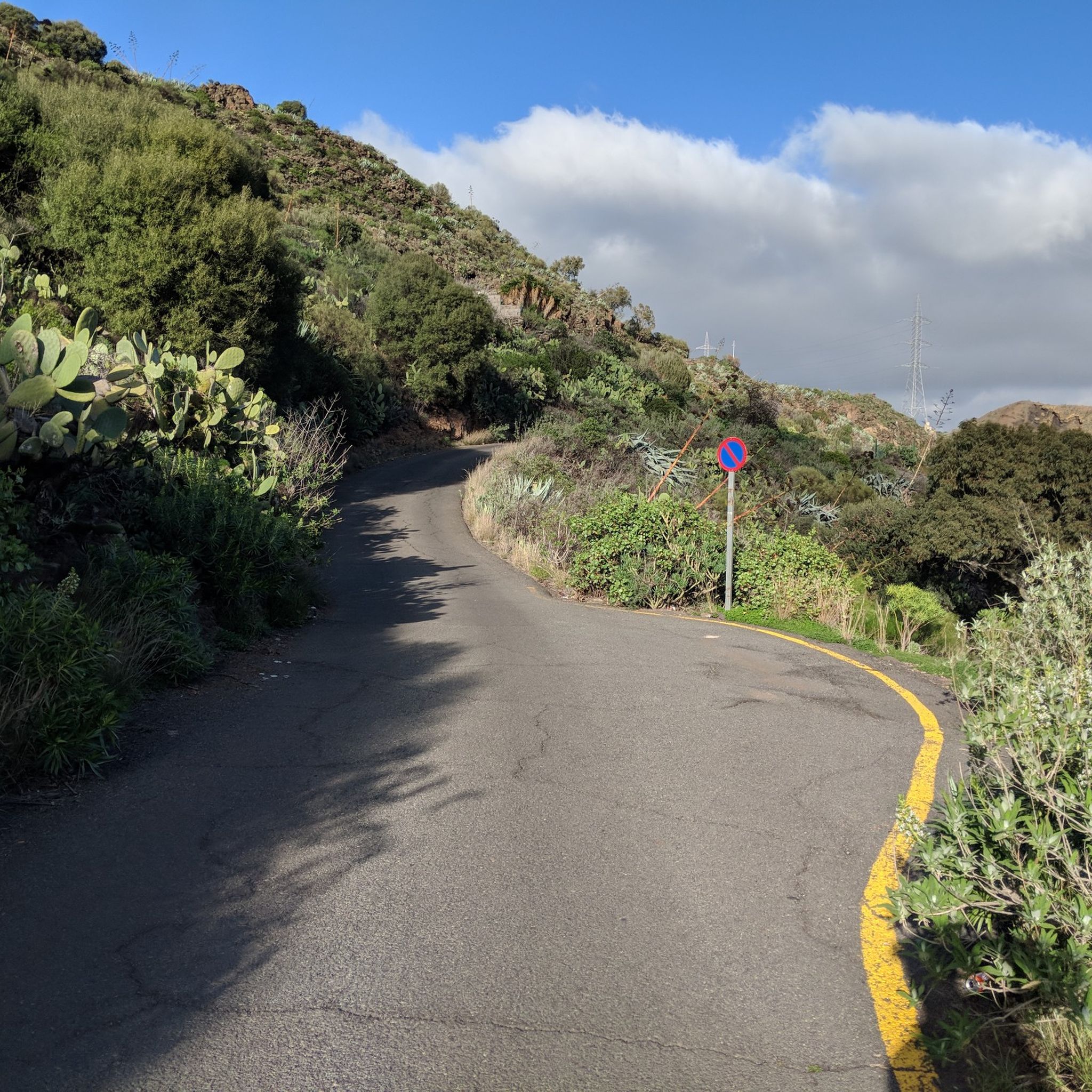
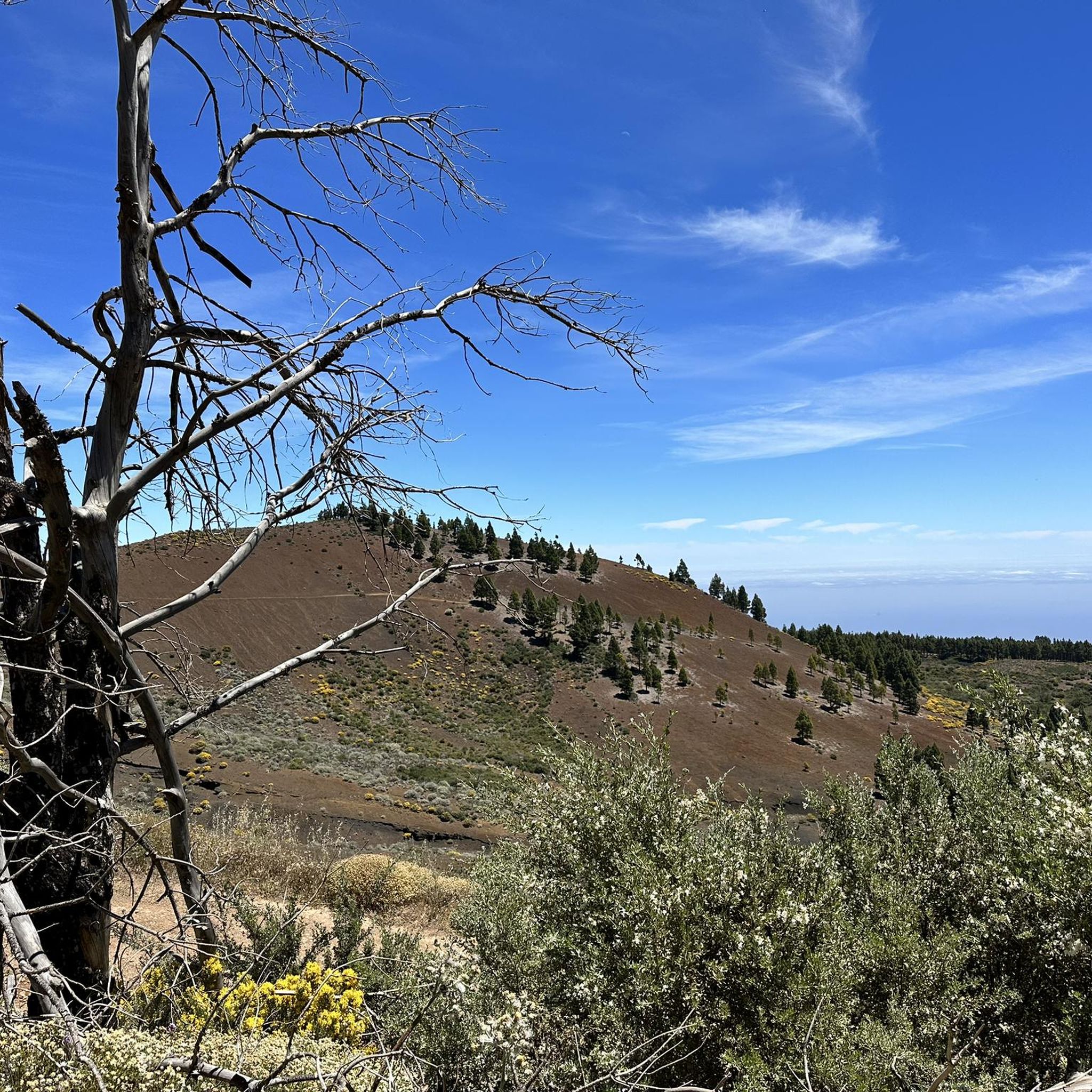
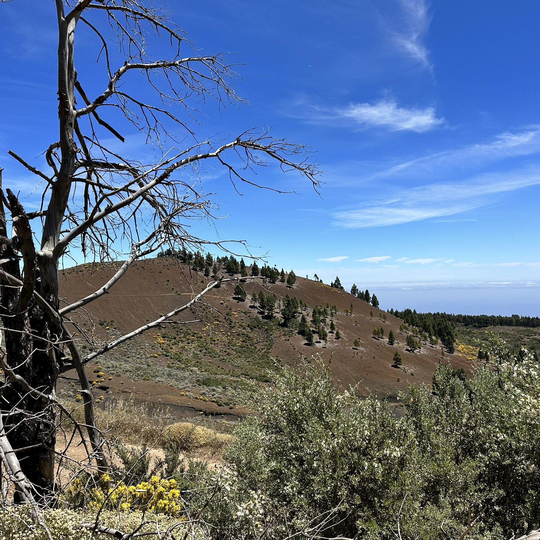
Hiking around Valsequillo De Gran Canaria offers diverse natural landscapes characterized by significant ravines, volcanic features, and varied flora. The region includes the Barranco de los Cernícalos, known for its waterfalls and wild olive tree groves, and the Barranco de San Miguel, featuring red eucalyptus trees. Geological points of interest include the Caldera de Los Marteles, an oval crater, and areas with volcanic terrain. The landscape also integrates agricultural beauty with strawberry farms and almond groves.
Best hiking trails around Valsequillo De Gran Canaria
- The most popular hiking route is Barranco de los Cernícalos – route of the waterfalls, a 3.7 miles (6.0 km) trail that takes 2 hours 4 minutes to complete. This moderate route features waterfalls and wild olive tree groves within a lush ravine.
- Another top favourite among local hikers is Small Waterfall – Path along meter-high reeds loop from Area Recreativa, a moderate 4.6 miles (7.4 km) path. This trail offers scenic views through areas with tall reeds and takes approximately 2 hours 43 minutes.
- Local hikers also love the View of Roque Grande – Scenic Hiking Trail loop from Valsequillo de Gran Canaria, an 8.1 miles (13.0 km) trail leading through varied terrain with views towards Roque Grande, often completed in about 4 hours 48 minutes.
- Hiking around Valsequillo De Gran Canaria is defined by deep ravines, volcanic craters, and agricultural landscapes. The network offers options for different ability levels, from easy walks to more challenging routes.
- The routes in Valsequillo De Gran Canaria are highly rated by the komoot community with an average score of 4.4 stars from over 1600 reviews. More than 5900 hikers have used komoot to explore Valsequillo De Gran Canaria's varied terrain.
Last updated: July 9, 2026
4.7
(994)
3,100
hikers
5.95km
02:04
260m
260m
Moderate hike. Good fitness required. Mostly accessible paths. Sure-footedness required.
4.4
(233)
656
hikers
7.38km
02:43
420m
420m
Moderate hike. Good fitness required. Mostly accessible paths. Sure-footedness required.

Sign up for free
4.8
(39)
165
hikers
Moderate hike. Good fitness required. Mostly accessible paths. Sure-footedness required.
4.7
(47)
165
hikers
3.28km
01:00
120m
120m
Easy hike. Great for any fitness level. Easily-accessible paths. Suitable for all skill levels.
4.7
(22)
86
hikers
Moderate hike. Good fitness required. Easily-accessible paths. Suitable for all skill levels.
Get access to more routes and recommendations from other explorers.
Sign up for free
Already have an account?
Our route recommendations are based on thousands of hikes, rides, and runs completed by other people on komoot.
Start today with a free account
Your next adventure awaits.
Login or Signup
Popular around Valsequillo De Gran Canaria


Tips from the Community

The unmistakable white radar dome is used for air traffic control and is one of the island's most famous landmarks.
0
0

Absolutely beautiful walk! Photos are from February 2026. Highly recommended! Regards, R&J
0
0

After the descent, you have to go through the village; the cross-country route through the fields is not possible. The path is privately closed.
0
0

The 10.6 km loop is not recommended! The description says 3-4 hours, but it took us over 6 hours and we still didn't finish. The entire trail is difficult to find. This is an extremely difficult tour with many climbing sections. Not for those with a fear of heights! We strongly advise against the "10.6 km" tour.
0
0
The 10.6 km loop is not recommended! The description says 3-4 hours, but it took us over 6 hours and we still didn't finish. The entire trail is difficult to find. This is an extremely difficult tour with many climbing sections. Not for those with a fear of heights! We strongly advise against the "10.6 km" tour.
0
0
The 10.6 km loop is not recommended! The description says it takes 3-4 hours, but it took us over 6 hours and we still didn't finish. The entire trail is difficult to find. This is an extremely difficult tour with many climbing sections. Not for those with a fear of heights! We strongly advise against the "10.6 km" tour.
0
1

You pass the fountain when walking along the levada. But it's nothing special.
0
0
Interesting reed tunnels that must be walked through.
0
0
Frequently Asked Questions
How many hiking trails are available in Valsequillo De Gran Canaria?
Valsequillo De Gran Canaria offers a wide selection of hiking opportunities, with over 65 routes available. These range from easy strolls to more challenging treks, catering to various fitness levels.
What kind of landscapes can I expect to see while hiking in Valsequillo De Gran Canaria?
The region is characterized by diverse and striking natural landscapes. You'll encounter significant ravines like the Barranco de los Cernícalos and Barranco de San Miguel, dramatic volcanic features such as the Caldera de Los Marteles, and a blend of natural vegetation with agricultural beauty, including extensive strawberry farms and almond groves.
Are there any trails featuring waterfalls in the area?
Yes, the Barranco de los Cernícalos is famous for having the largest waterfalls in Gran Canaria. A popular route to experience these is the Barranco de los Cernícalos – route of the waterfalls, which is a moderate hike through a lush ravine.
Are there any easy hiking routes suitable for beginners or families?
Absolutely. Valsequillo De Gran Canaria has 13 easy routes. A great option for families or beginners is the Small Waterfall – Path to the waterfalls loop from Area Recreativa, which is just over 3 km long and offers a pleasant walk.
Can I find circular hiking routes in Valsequillo De Gran Canaria?
Yes, many trails in the region are designed as loops, allowing you to start and end at the same point. Examples include the Small Waterfall – Path along meter-high reeds loop from Area Recreativa and the View of Roque Grande – Scenic Hiking Trail loop from Valsequillo de Gran Canaria, offering varied scenery.
What are some notable natural landmarks or viewpoints to explore?
The region boasts several impressive natural landmarks. The Caldera de Los Marteles is a striking oval crater, and the Barranco de San Miguel features a unique grove of red eucalyptus trees. For panoramic views, consider routes that offer vistas towards Roque Nublo or the Pico de las Nieves summit.
Is Valsequillo De Gran Canaria a good destination for dog-friendly hiking?
While the natural environment is appealing for walks with dogs, specific regulations regarding dogs on trails can vary. It's always best to check local signage at trailheads and ensure your dog is kept on a leash, especially in protected areas or near livestock, to respect wildlife and other hikers.
What is the best time of year to go hiking in Valsequillo De Gran Canaria?
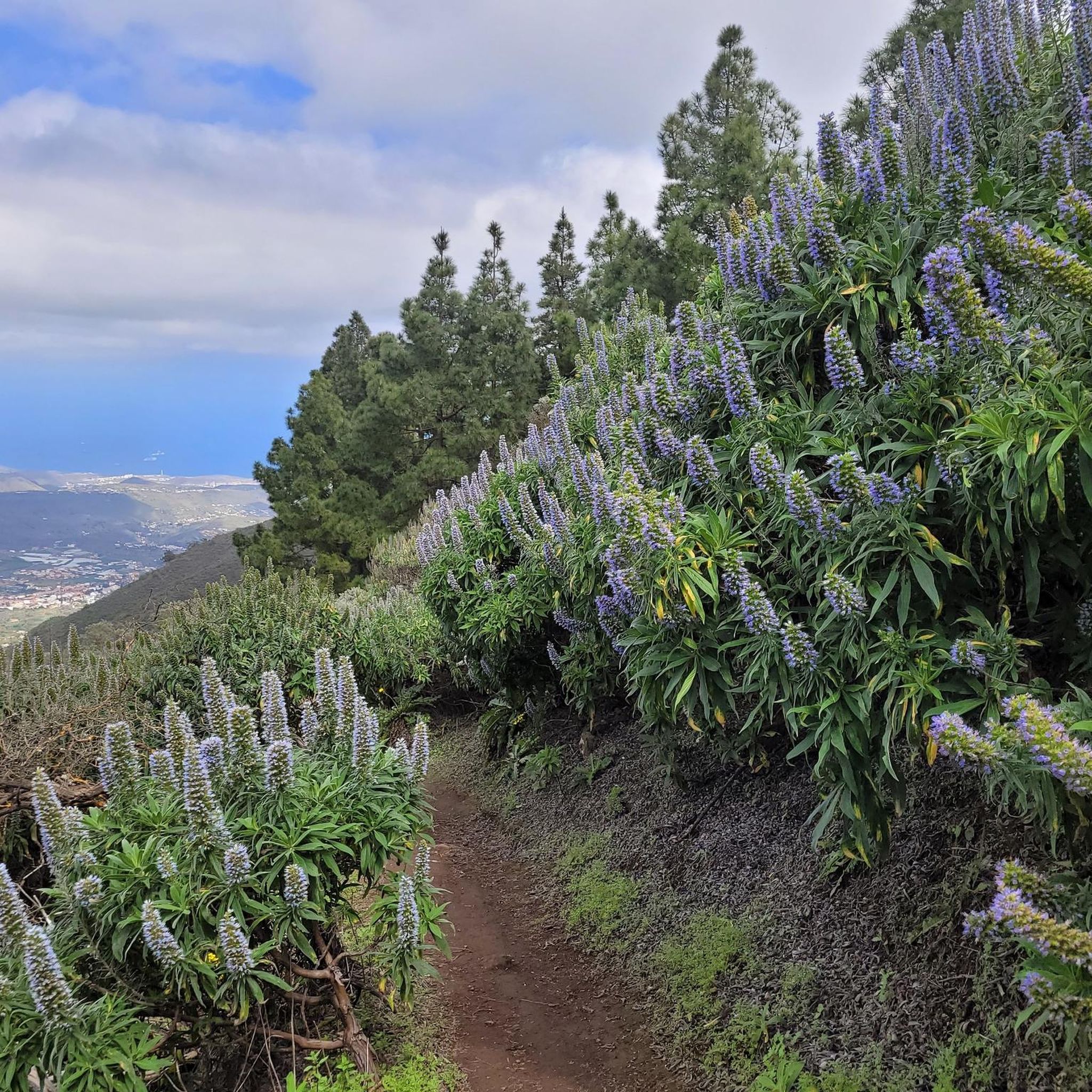
Valsequillo offers pleasant hiking conditions for much of the year. The almond groves are particularly beautiful during their flowering season, and the blue tajinaste blooms between February and April. Strawberry farms are especially active around October. Generally, the mild climate of Gran Canaria makes hiking enjoyable outside of the hottest summer months.
Are there any trails that pass through agricultural areas, like strawberry farms?
Yes, Valsequillo is known for its extensive strawberry farms, and some hiking routes are integrated into these agricultural landscapes. These 'Strawberry Hiking Routes' offer a unique experience, especially around October when the plantations are bustling with activity.
What do other hikers enjoy most about hiking in Valsequillo De Gran Canaria?
The hiking routes in Valsequillo De Gran Canaria are highly rated by the komoot community, with an average score of 4.4 stars from over 1600 reviews. Hikers often praise the diverse natural landscapes, from lush ravines and waterfalls to volcanic craters and scenic agricultural areas, as well as the variety of trails suitable for different abilities.
Are there any long-distance or more challenging routes for experienced hikers?
Yes, for experienced hikers seeking a challenge, there are 8 difficult routes available. An example of a longer, moderate route is the View of Roque Nublo and Teide – Pico de las Nieves summit loop from Reserva Natural Especial de los Marteles, which covers nearly 15 km and offers significant elevation changes.
Most popular routes around Valsequillo De Gran Canaria
Most popular attractions around Valsequillo De Gran Canaria

Get inspired with the komoot mobile app


Explore more
Browse the best Hikes in other regions.
