The best walks and hikes around Samaniego
4.7
(277)
1,840
hikers
100
hikes
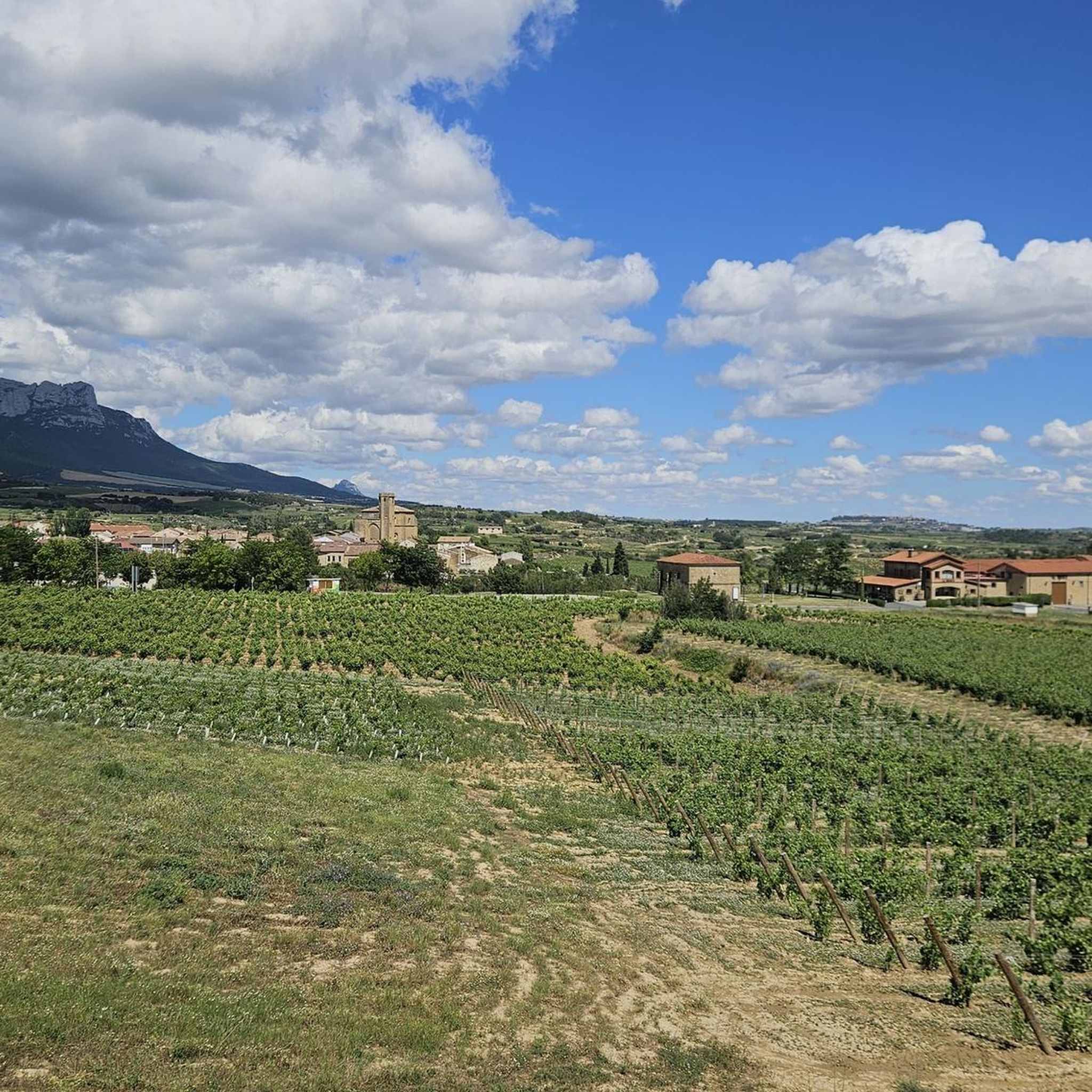
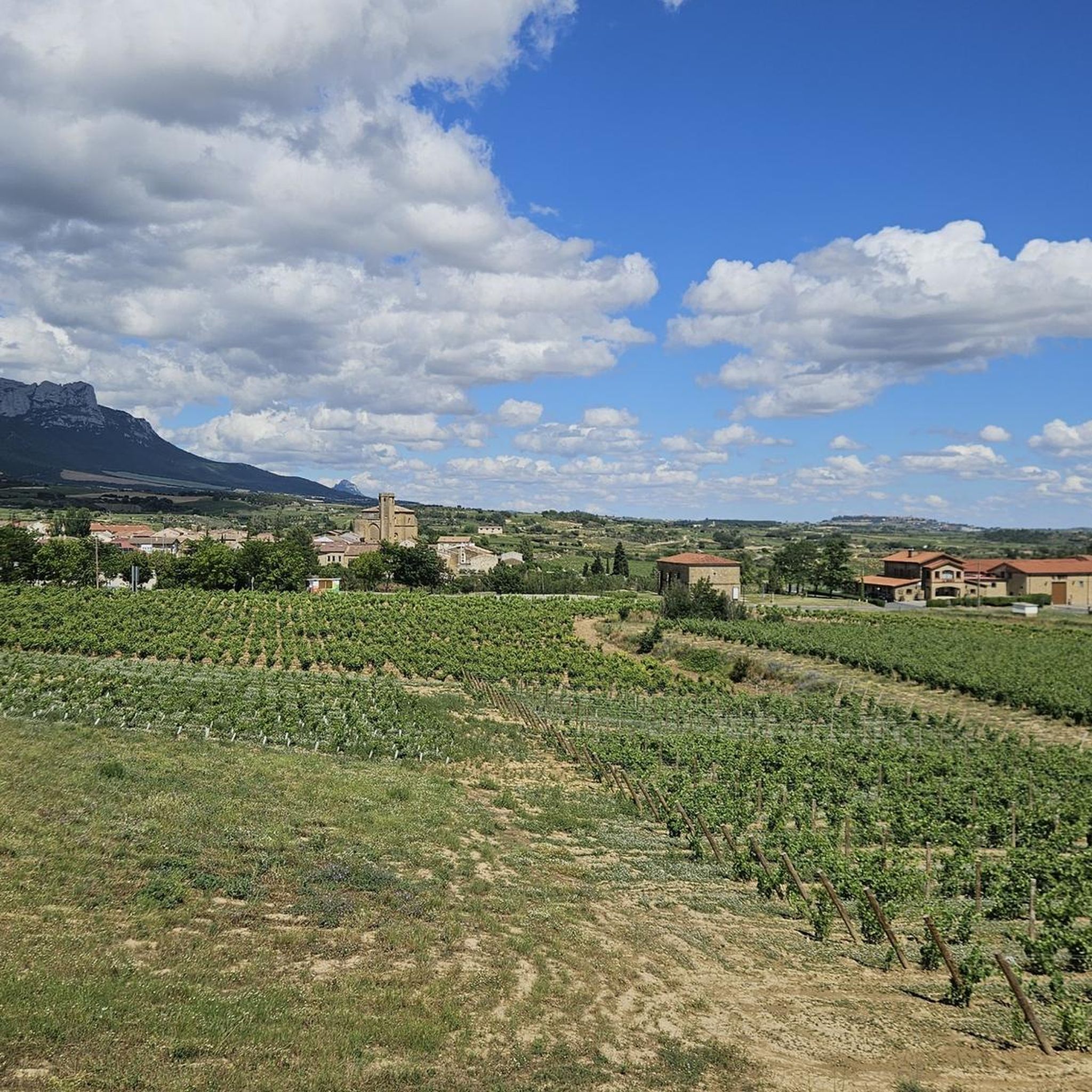
Hiking around Samaniego offers diverse trails through the southern mountain ranges of Álava, characterized by rolling hills and varied terrain. The region features a mix of open landscapes and areas with natural vegetation, providing a range of environments for outdoor exploration. These Samaniego trails often include ascents to viewpoints and descents into valleys. The area's geography supports both moderate and easy hiking trails, making it accessible for different experience levels.
Best hiking trails around Samaniego
- The most popular hiking route is Cocinas, Artxabal and Zelarruntxa — circular through the southern mountain ranges of Álava, a 7.4 miles (12.0 km) trail that takes 3 hours 52 minutes to complete. This moderate route offers a circular journey through the southern mountain ranges of Álava.
- Another top favourite among local hikers is Puerto de Herrera – SanLeon loop from Ábalos, a moderate 7.3 miles (11.7 km) path. This loop trail starts from Ábalos and explores the area around Puerto de Herrera.
- Local hikers also love the SanLeon – Puerto de Herrera loop from Errioxako balkoia, a 5.5 miles (8.8 km) trail leading through the landscape from Errioxako balkoia, often completed in about 3 hours 15 minutes.
- Hiking around Samaniego is defined by its southern mountain ranges, hills, and varied natural vegetation. The network of routes offers options for different ability levels, from beginner hiking routes to more challenging ascents.
- The routes in Samaniego are highly rated by the komoot community with an average score of 4.7 stars from over 260 reviews. More than 1800 hikers have used komoot to explore Samaniego's varied terrain.
Last updated: July 1, 2026
5
hikers
Moderate hike. Good fitness required. Mostly accessible paths. Sure-footedness required.
5.0
(2)
21
hikers
4.73km
01:32
200m
200m
Easy hike. Great for any fitness level. Easily-accessible paths. Suitable for all skill levels.

Sign up for free
6
hikers
8.84km
03:15
460m
460m
Moderate hike. Good fitness required. Mostly accessible paths. Sure-footedness required.
6
hikers
6.98km
02:13
280m
280m
Moderate hike. Good fitness required. Easily-accessible paths. Suitable for all skill levels.
4.0
(1)
7
hikers
4.62km
01:29
120m
120m
Moderate hike. Great for any fitness level. Mostly accessible paths. Sure-footedness required.
Get access to more routes and recommendations from other explorers.
Sign up for free
Already have an account?
Our route recommendations are based on thousands of hikes, rides, and runs completed by other people on komoot.
Start today with a free account
Your next adventure awaits.
Login or Signup
Tips from the Community

One of the toughest, if not the toughest, mountain passes in Álava. Cantabrian Mountains. Natural border with La Rioja.
1
0

The path was nowhere to be found further on. We therefore hiked back below the ridge line.
0
0

Nice place to take some photos. Spectacular views of the Ebro valley and the vineyards of La Rioja. There are also tables, chairs, plenty, covered area... it's very good.
0
0

Close to Vallehermoso, and while we're at it... With wet terrain, be careful. The views, impressive.
2
0
A very cool top, worth it, and access is very easy.
3
0

Mythical Alava port bordering between Campezo and Laguardia. The ascent from Peñacerrada is 7.5 kilometers long and has slope peaks greater than 10%. The road is narrow and winding through green forests. Cyclists who enjoy the ascents and the landscape will fulfill their expectations.
1
0
A very attractive summit, with very good views and a very small and simple final climb.
1
0
The climb up the last part is tough (watch out for wet terrain), but the reward of those views is well worth the effort. Very cool the porrón that symbolizes it.
0
0
Frequently Asked Questions
How many hiking trails are there around Samaniego?
Samaniego offers a wide variety of hiking opportunities, with over 90 trails available. These range from easy strolls to more challenging ascents, catering to different fitness levels.
Are there easy hiking trails suitable for beginners in Samaniego?
Yes, Samaniego has a good selection of easy trails. There are 27 routes specifically rated as easy, perfect for beginners or those looking for a relaxed walk. These trails often feature rolling hills and accessible terrain.
What is the best time of year to go hiking in Samaniego?
The best time for hiking in Samaniego is generally during spring (April-June) and autumn (September-November). During these seasons, the weather is mild, and the landscapes are particularly beautiful, with blooming flora in spring and vibrant colors in autumn. Summer can also be pleasant, especially in the mornings or late afternoons, though it can get warm.
Are there any circular hiking routes in Samaniego?
Yes, many of the trails around Samaniego are circular, offering varied scenery without retracing your steps. An example is the Puerto de Herrera – CastilloVallehermoso loop from Herrerako mendatea, a moderate 4.3-mile (6.9 km) route.
What do other hikers enjoy most about the trails in Samaniego?
The hiking trails in Samaniego are highly rated by the komoot community, with an average score of 4.7 stars from over 260 reviews. Hikers often praise the diverse terrain, the stunning viewpoints, and the well-maintained paths that wind through the southern mountain ranges of Álava.
Are there any family-friendly hiking options in Samaniego?
While specific 'family-friendly' routes are not explicitly categorized, many of the 27 easy trails are suitable for families with children. These routes typically have less elevation gain and shorter distances, making them enjoyable for all ages. Look for trails under 3 miles for a good starting point.
Can I bring my dog on the hiking trails in Samaniego?
Most hiking trails in Samaniego are dog-friendly, allowing you to enjoy the outdoors with your canine companion. However, it's always recommended to keep your dog on a leash, especially in areas with livestock or protected wildlife, and to follow local regulations regarding pet waste.
Are there any waterfalls to see while hiking in Samaniego?
Yes, the region around Samaniego features several beautiful waterfalls. You can explore the Water Route, which includes natural water features, or visit the Ollerías Waterfall and Inglares Waterfall, both popular highlights in the area.
What kind of landmarks or points of interest can I find near the hiking trails?
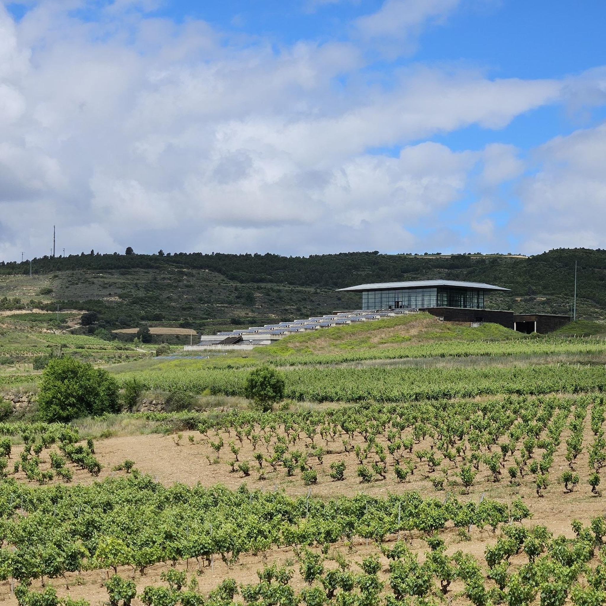
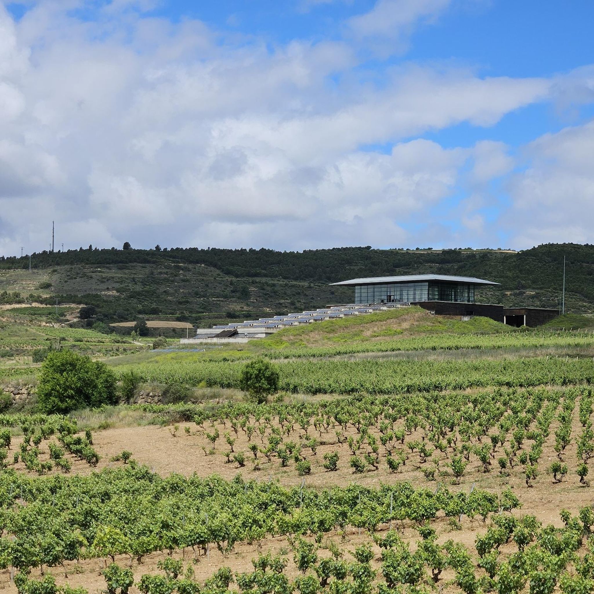
The Samaniego area is rich in points of interest. Hikers can discover architectural marvels like Bodegas Ysios and the Marqués de Riscal Hotel, or historical sites such as the Dolmen of the Witch's Hut. For natural viewpoints, the Toloño summit offers panoramic views.
Is parking available at the trailheads in Samaniego?
Parking is generally available at or near the starting points of many popular trails in Samaniego, especially in villages or designated recreational areas. However, for specific routes, it's advisable to check the route details on komoot for more precise parking information.
Can I reach hiking trails in Samaniego using public transport?
While some larger towns in the region may have public transport connections, direct access to all trailheads in Samaniego via public transport can be limited. For greater flexibility, driving to the starting points is often the most convenient option. Always check local bus schedules if you plan to rely on public transport.
Are there any less crowded hiking trails in Samaniego?
To find less crowded trails, consider exploring some of the moderate or difficult routes, or hiking during off-peak times like weekdays or early mornings. The Puerto de Herrera – SanLeon loop from Herrerako mendatea, a 2.9-mile (4.6 km) moderate trail, offers a beautiful experience that might be quieter than the most popular paths.
Most popular routes around Samaniego
Most popular attractions around Samaniego

Get inspired with the komoot mobile app


Explore more
Browse the best Hikes in other regions.
