The best MTB trails around Erro
4.6
(19)
292
riders
42
rides
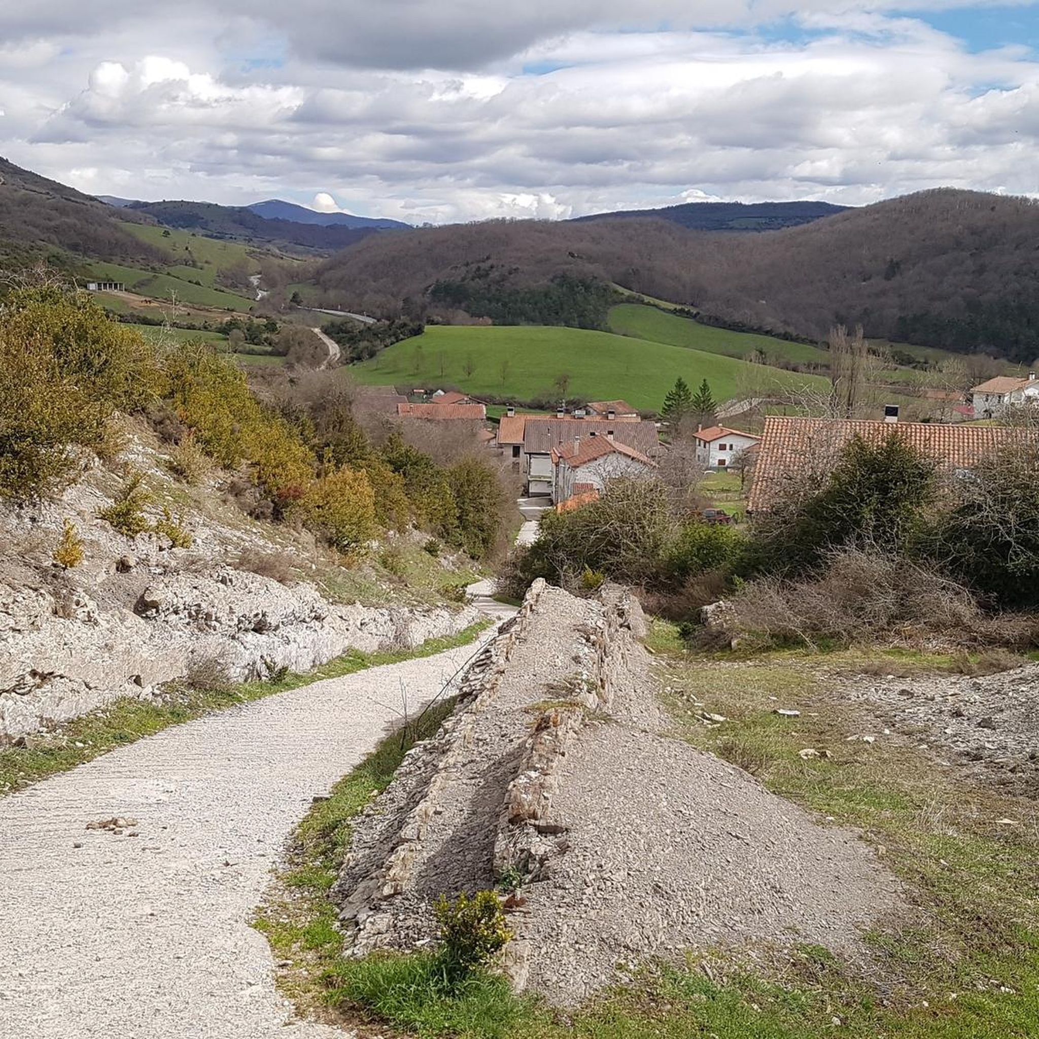
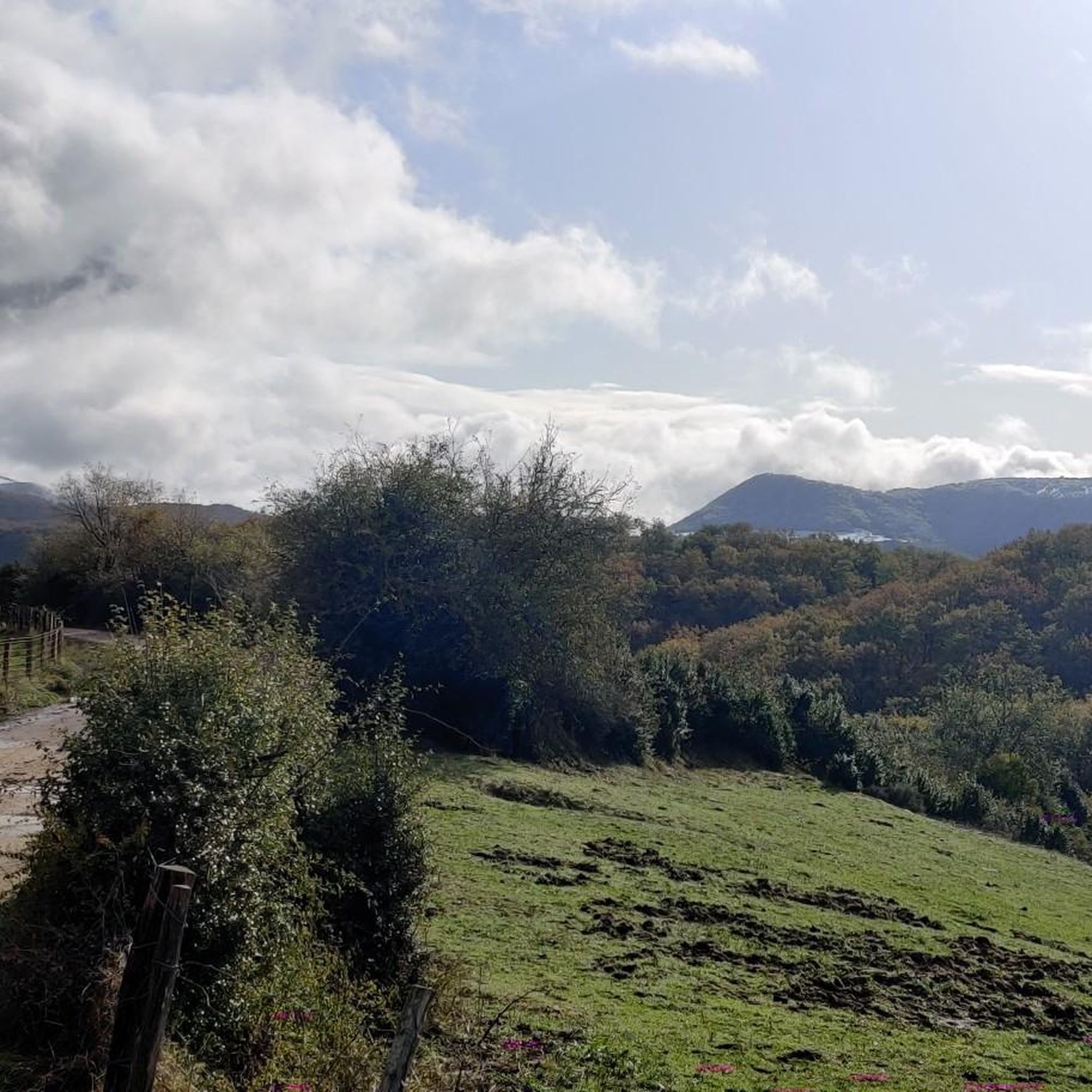
Mountain bike trails around Erro, nestled within the Pyrenees in Navarra, Spain, offer diverse landscapes for riders. The region features mountainous terrain, lush valleys, and ancient woodlands of oak, birch, and pine. Prominent natural features include the Alto de Erro mountain pass, standing at approximately 2,628 feet (801 m), and the Ibañeta Pass, both providing challenging climbs and panoramic views. This varied topography creates a compelling destination for mountain bikers seeking routes with significant elevation changes and natural beauty.
Best…
Last updated: July 1, 2026
2
riders
24.5km
02:30
670m
680m
Moderate mountain bike ride. Good fitness required. Advanced riding skills necessary.
5.0
(1)
3
riders
43.5km
04:36
1,270m
1,280m
Hard mountain bike ride. Very good fitness required. Advanced riding skills necessary. Some portions of the route may require you to push your bike.

Sign up for free
4.0
(2)
39
riders
45.2km
04:01
970m
970m
Hard mountain bike ride. Very good fitness required. Suitable for all skill levels.
5.0
(1)
31
riders
24.8km
03:10
1,030m
1,030m
Hard mountain bike ride. Very good fitness required. Advanced riding skills necessary. Some portions of the route may require you to push your bike.
5.0
(1)
22
riders
33.4km
03:32
1,010m
1,010m
Hard mountain bike ride. Very good fitness required. Advanced riding skills necessary. Some portions of the route may require you to push your bike.
Get access to more routes and recommendations from other explorers.
Sign up for free
Already have an account?
Our route recommendations are based on thousands of hikes, rides, and runs completed by other people on komoot.
Start today with a free account
Your next adventure awaits.
Login or Signup



Tips from the Community

In choosing San Salvador as the patron saint of this church, the patronage was not placed under the protection of one of the many people we venerate as blessed or saints and ask for their heavenly intercession with God. Rather, the patronage was entrusted to God himself—in the person of his incarnate Son, Jesus Christ—who is venerated here under the honorary title of "San Salvador" (Redeemer and Savior).
3
0

Anyone who would like to have the church illuminated can switch on the lights for 8 minutes for a 1 € coin.
0
0

It is a beautiful border pass between Spain and France, well known for being part of the most traditional route of the Camino de Santiago. Sportingly, the climb on both sides is easy, although on the French side it is much longer as it starts at a lower altitude. The Spanish side is just 6 km from Burguete, the last being the most difficult with an average gradient of 7%. On this side you pass the famous and well-known monastery of Roncesvalles. The French side is 18 km from Arnegui and an average gradient of 4%. The hardest part is 5 km from the summit, with one kilometre at 7%. The landscape on this side is of lush vegetation going up a very closed valley that hardly leaves room for views of the surrounding mountains. The road is very twisty. It is a port with very good asphalt and a lot of traffic in general... so, be careful!
1
0

Roncesvalles, also known as Orreaga in Basque, is a small town in the region of Navarra, northern Spain. It is best known for the legendary Battle of Roncesvalles in 778, where Charlemagne's rearguard was defeated. This historical and spiritual site is also an important starting point for the Camino de Santiago, the famous pilgrimage route to the tomb of Saint James in Galicia. In Roncesvalles you can admire the impressive Gothic collegiate church of Santa María de Roncesvalles, where the image of the Virgin of Orreaga is venerated. Other places of interest include the Church of Santiago, the Chapel of the Holy Spirit and the Museum-Treasury, where you can see relics, paintings and sculptures from different periods.
3
1
The Ibañeta Pass, also known as the Roncesvalles Pass, is a scenic mountain pass in the Pyrenees, near the border between France and Spain. At an altitude of 1,057 metres, it offers breathtaking views and a rich historical background. The pass is best known for the Battle of Roncevaux in 778, a legendary event sung about in the epic poem “The Song of Roland”. A menhir marks the traditional site of this battle, emphasising the historical significance of the location.
2
0

The monastery complex is an impressive building and worth a visit. There are also two cafés, a hotel and the pilgrims' hostel.
1
0
A great climb up to the pass. Once you reach the top you get a great view. There is a small church at the top and also a monument. There has always been a hospital up here. However, only the foundations of it remain
2
0

Roland, who is commemorated here, died in 778 as part of the rear guard of Charlemagne's Frankish army. He himself was Margrave of Brittany and was the victim of a Basque revenge campaign against the Frankish conquerors who were retreating from a failed Saracen campaign. Those were complicated times, but things were not to become any less complicated in the Basque Country in the centuries that followed. An epic/song was later sung about Roland, which is part of world literature. The monument itself is simple and rough, exposed up here in the wind of the weather, and can therefore have an immediate effect, without pomp and splendor. Great! https://de.wikipedia.org/wiki/Schlacht_von_Roncesvalles
2
0
Frequently Asked Questions
How many mountain bike trails are there in Erro?
The Erro region offers a wide selection of mountain bike trails, with over 40 routes available. These range from moderate to difficult, providing options for various skill levels.
What is the best time of year to go mountain biking in Erro?
The Erro region, nestled in the Pyrenees, is generally best for mountain biking during spring, summer, and early autumn. These seasons offer more stable weather conditions, allowing you to fully enjoy the diverse landscapes and challenging terrain. Winter can bring snow and colder temperatures, making some trails less accessible or requiring specialized gear.
What are the general difficulty levels of mountain bike trails in Erro?
Erro's mountain bike trails cater to a range of abilities. You'll find approximately 15 moderate routes, perfect for those looking for a good workout without extreme technical challenges. For experienced riders seeking a thrill, there are over 25 difficult routes, often featuring significant elevation gains and demanding terrain.
Are there any circular mountain bike routes in Erro?
Yes, many of the mountain bike routes in Erro are circular, allowing you to start and finish at the same point. For example, the Cascada Irurrekaeat – circular desde Camping Urrobi is a moderate 15.2-mile (24.5 km) loop, and the challenging Rodeo al Alto de la Salve – circular desde Erro por Zubiri covers 27.0 miles (43.5 km).
What historical landmarks can I see while mountain biking in Erro?
The Erro region is rich in history, particularly due to its location on the Camino de Santiago. You can encounter landmarks such as the medieval Rabies Bridge, the significant Roncesvalles Collegiate Church, and the historic Ibañeta Pass and the Roland Monument. These sites offer a glimpse into centuries of pilgrim journeys and local heritage.
Are there any natural viewpoints or scenic spots along the trails?
Absolutely. The mountainous terrain of Erro provides numerous scenic viewpoints. The Ibañeta Pass, for instance, offers breathtaking panoramic views across the verdant Erro valley and its ancient forests. The Sorogain Valley, accessible from Erro, is also known for its intense green meadows and large beech forests, surrounded by mountains like Adi and Oiharzabal.
Are there family-friendly mountain bike trails in Erro?
While many trails in Erro are moderate to difficult, there is at least one easy mountain bike route available, which could be suitable for families or beginners. It's always recommended to check the specific route details on komoot for distance, elevation, and terrain to ensure it matches your family's skill level.
What kind of facilities are available for mountain bikers in the Erro region?
The Navarrese Pyrenees, including the Erro area, often provide dedicated mountain biking spaces with useful amenities. These can include welcome centers offering shower facilities, small workshops for basic repairs, bike repair kits, and detailed route information to help you plan your rides. For more general information on mountain bike spaces in Navarre, you can visit visitnavarra.es.
What do other mountain bikers enjoy about the trails in Erro?
The mountain bike trails in Erro are highly regarded by the komoot community, holding an average rating of 4.6 stars from over 20 reviews. Riders often praise the diverse landscapes, from lush valleys to ancient woodlands, and the challenging climbs that lead to rewarding panoramic views. The mix of historical sites and natural beauty also adds to the appeal.
Can you recommend a challenging mountain bike route in Erro?
For experienced riders seeking a challenge, the Senda Pilotasoro – Adi Hillside Trail loop from Esnazu is a difficult 16.2-mile (26 km) route with over 3,300 feet (1000 m) of elevation gain. Another demanding option is the Sorogain Hostel – Adi Hillside Trail loop from Aurizberri, a 20.8-mile (33.4 km) difficult trail with similar elevation changes, offering a rigorous and rewarding experience.
Are there any trails that pass through the Sorogain Valley?
Yes, the Sorogain Valley is a beautiful area known for its intense green meadows and large beech forests. Routes like the Sorogain Hostel – Adi Hillside Trail loop from Aurizberri will take you through or near this picturesque landscape, allowing you to experience its natural beauty and surrounding mountains.
Most popular attractions around Erro

Get inspired with the komoot mobile app


Explore more
Browse the best MTB trails in other regions.
