The best walks and hikes around Donamaria
4.6
(252)
2,114
hikers
107
hikes
Hiking around Donamaria offers a diverse landscape characterized by varied terrain, including hills and valleys with significant elevation changes. The region features a network of trails that lead through natural areas, connecting historical sites and local landmarks. Hikers can expect paths that traverse both open spaces and potentially wooded areas, providing a range of experiences from moderate walks to more challenging ascents.
Best hiking trails around Donamaria
- The most popular hiking route is Santiago Hermitage – Summit of Sayoa loop…
Last updated: August 13, 2026
4.7
(15)
144
hikers
12.5km
05:00
780m
780m
Hard hike. Very good fitness required. Mostly accessible paths. Sure-footedness required.
4.8
(5)
36
hikers
9.03km
02:56
390m
390m
Moderate hike. Good fitness required. Easily-accessible paths. Suitable for all skill levels.

Sign up for free
3.0
(2)
35
hikers
12.5km
03:35
310m
310m
Moderate hike. Good fitness required. Easily-accessible paths. Suitable for all skill levels.
10
hikers
6.87km
02:14
260m
250m
Moderate hike. Good fitness required. Mostly accessible paths. Sure-footedness required.
5.0
(1)
16
hikers
Moderate hike. Good fitness required. Easily-accessible paths. Suitable for all skill levels.
Get access to more routes and recommendations from other explorers.
Sign up for free
Already have an account?
Our route recommendations are based on thousands of hikes, rides, and runs completed by other people on komoot.
Start today with a free account
Your next adventure awaits.
Login or Signup

Tips from the Community

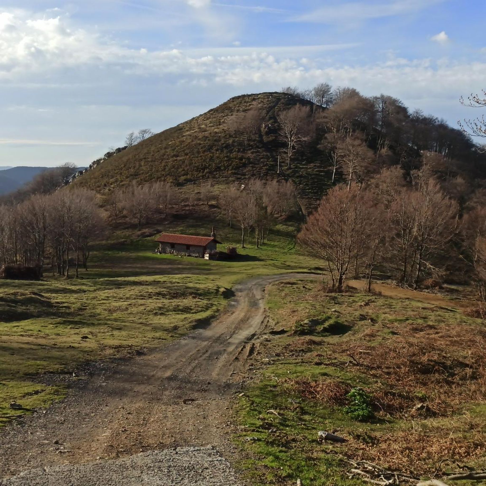
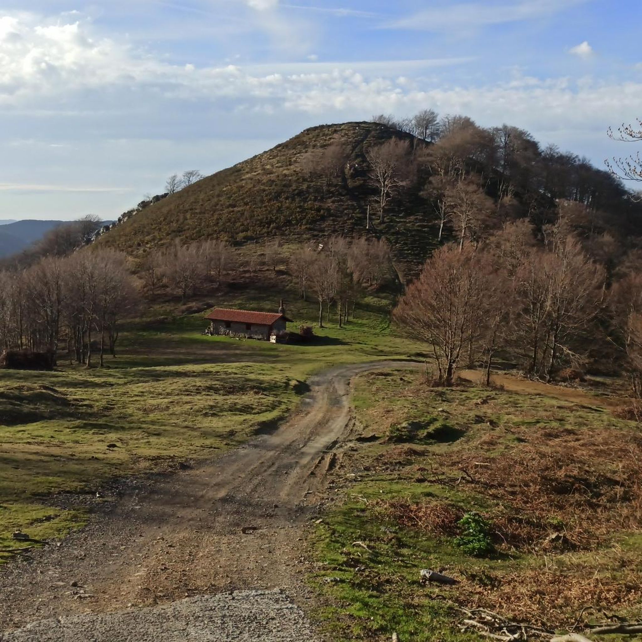
The refuge hermitage of Santiago in Belate is standing thanks to the good faith and effort of the volunteers of the Association of Friends of the Camino de Santiago de Baztán, who spent six years working on it to recover it with the simple objective of preserving our heritage.
2
0

A very nice round trip along the magnificent river. Landscapes that change with each barrier crossing. very nice time
0
0

On the water path, security measures have been taken in places where there may be a problem.
1
0
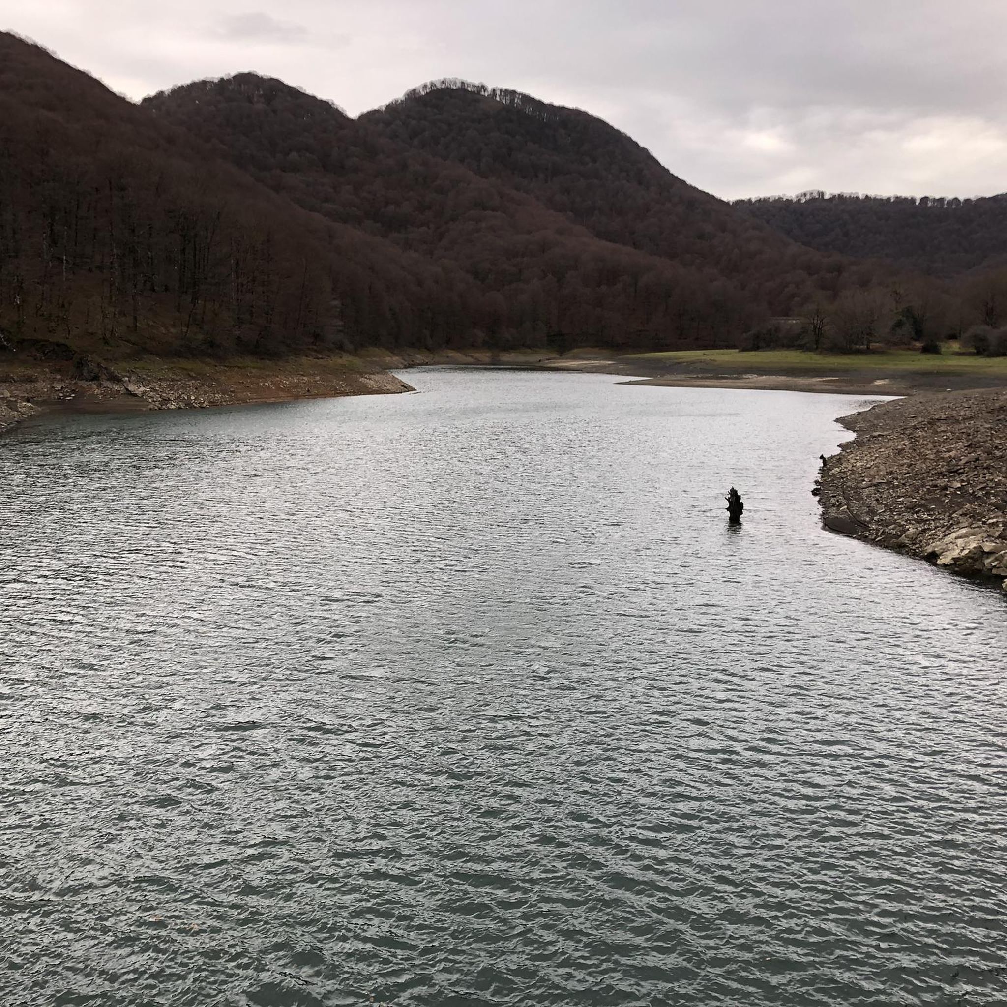
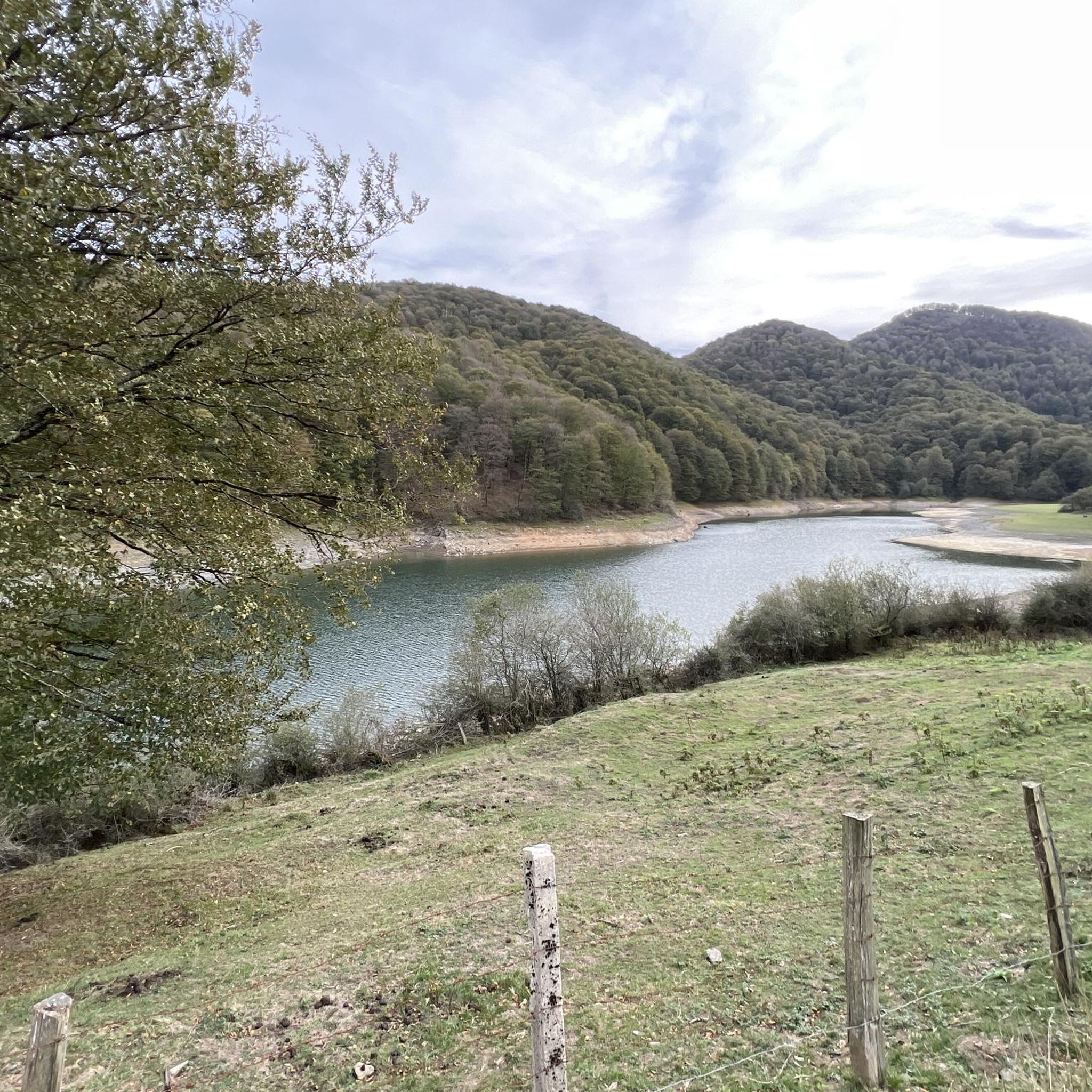
Without damming, some believe they improve downstream ecosystems. There was a great controversy when the dam was removed.
1
0
Romanesque bridge that was surely reinforced at different times. Charming.
1
0
Typical of this area of Navarra
1
0
We are at the bottom of the valley, Mendaur contemplates us from its proud past 1100 m.
1
0

The highest peak in the Baztan valley, it is located in a massif of grassy and rounded peaks. It is one of the most emblematic and visited mountains in the valley.
3
0
Frequently Asked Questions
How many hiking trails are available around Donamaria?
Donamaria offers a wide selection of hiking opportunities, with over 90 trails recorded on komoot. These routes cater to various skill levels, from easy strolls to more challenging ascents.
Are there any easy hiking trails suitable for beginners in Donamaria?
Yes, Donamaria has a good selection of trails for beginners. There are 13 easy routes available, perfect for those looking for a gentle introduction to hiking in the area. These typically feature less elevation gain and shorter distances.
What kind of terrain can I expect on Donamaria's hiking trails?
Hiking around Donamaria is characterized by varied terrain, including hills and valleys with notable elevation changes. Trails often traverse natural paths, leading through both open spaces and wooded areas, offering a diverse experience.
Are there any circular hiking routes in Donamaria?
Yes, many of Donamaria's trails are designed as loops. For example, the Casa Torre de Donamaria loop from Donamaria is a moderate 5.5-mile (8.9 km) path that explores the local area, offering a balanced hiking experience.
What are some notable natural features or landmarks I can see while hiking in Donamaria?
Hikers in Donamaria can discover several interesting natural features and landmarks. You might encounter the beautiful Bisusto Waterfall or the serene Putzubeltza Waterfall. The Summit of Sayoa also offers panoramic views.
Are there any historical sites along the hiking trails in Donamaria?
Yes, the region's trails connect natural areas with historical sites. For instance, the Santiago Hermitage – Summit of Sayoa loop from Belateko mendatea includes the Santiago Hermitage. You can also explore the Doneztebe (Santesteban) Historic Centre nearby.
What do other hikers say about the trails in Donamaria?
The hiking routes in Donamaria are highly regarded by the komoot community, holding an impressive average rating of 4.7 stars from over 200 reviews. Hikers often praise the varied terrain, the mix of historical sites, and the natural beauty of the paths.
Are there any trails that lead to a summit or offer significant viewpoints?
Absolutely. The Santiago Hermitage – Summit of Sayoa loop from Belateko mendatea is a challenging route that leads to the Summit of Sayoa, providing rewarding views after a substantial elevation gain.
Is there a trail that focuses on water features in Donamaria?
Yes, the Water Route / Water Path loop from Doneztebe / Santesteban is a moderate 4.7-mile (7.6 km) trail that highlights the area's water features, offering a unique experience for those interested in streams and cascades.
What is the difficulty level of most hikes in Donamaria?
The majority of hikes in Donamaria are classified as moderate, with 61 out of 93 routes falling into this category. This means they offer a good balance of challenge and accessibility for most hikers.
Can I find trails that go through natural parks or forests near Donamaria?
Yes, the region offers access to natural areas like the Oronoz and Señorío de Bertiz Natural Park, which features extensive forests and diverse ecosystems, providing a rich environment for hiking.
Most popular routes around Donamaria
Most popular attractions around Donamaria

Get inspired with the komoot mobile app


Explore more
Browse the best Hikes in other regions.
