The best cycling routes around Moscardón
4.3
(3)
45
riders
13
rides
Touring cycling around Moscardón offers a tranquil environment with diverse routes and striking natural landscapes. The region is characterized by quiet roads and varied terrain, including mountain biking sections and gravel passes. Natural features such as the Prado Molinero ravine, the Guadalaviar River Gorge, and the El Castellar viewpoint provide scenic backdrops for cycling adventures.
Best touring cycling routes around Moscardón
- The most popular touring cycling route is Empty Mountains - circular via the Zafrilla river and the Cabriel waterfalls…
Last updated: May 11, 2026
55.9km
05:42
1,120m
1,120m
Hard bike ride. Very good fitness required. Some segments of this route may be unpaved and difficult to ride.
4.3
(3)
12
riders
28.3km
01:46
290m
290m
Moderate bike ride. Good fitness required. Mostly paved surfaces. Suitable for all skill levels.

Sign up for free
7
riders
46km
03:09
830m
830m
Hard bike ride. Very good fitness required. Mostly paved surfaces. Suitable for all skill levels.
5
riders
47.6km
03:17
790m
790m
Hard bike ride. Very good fitness required. Mostly paved surfaces. Suitable for all skill levels.
4
riders
Hard bike ride. Very good fitness required. Mostly paved surfaces. Suitable for all skill levels.
Get access to more routes and recommendations from other explorers.
Sign up for free
Already have an account?
Our route recommendations are based on thousands of hikes, rides, and runs completed by other people on komoot.
Start today with a free account
Your next adventure awaits.
Login or Signup
Tips from the Community

In Albarracín, there is a well-known cat colony, managed by the Proyecto Gato Albarracín association, which has been caring for these animals for over 15 years. Approximately 200 cats live in the historic center and surrounding areas, blending seamlessly into the town's medieval landscape. Location: You'll see them strolling along the cobbled streets, near the city walls, the Portal de Molina, and on the Guadalaviar river promenade. It's common to find them on staircases, windows, and balconies. Characteristics: These cats are accustomed to the presence of tourists, very photogenic, and part of the town's charm. There is a wide variety of colors and breeds (Siamese, European Shorthair, tabby, etc.).
9
0

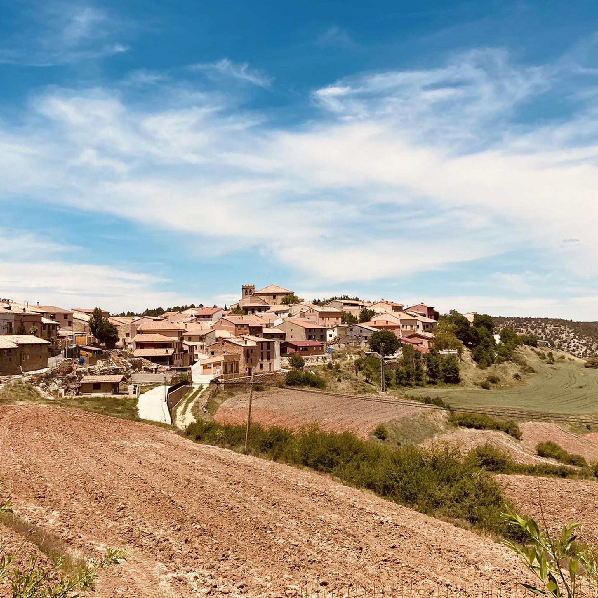
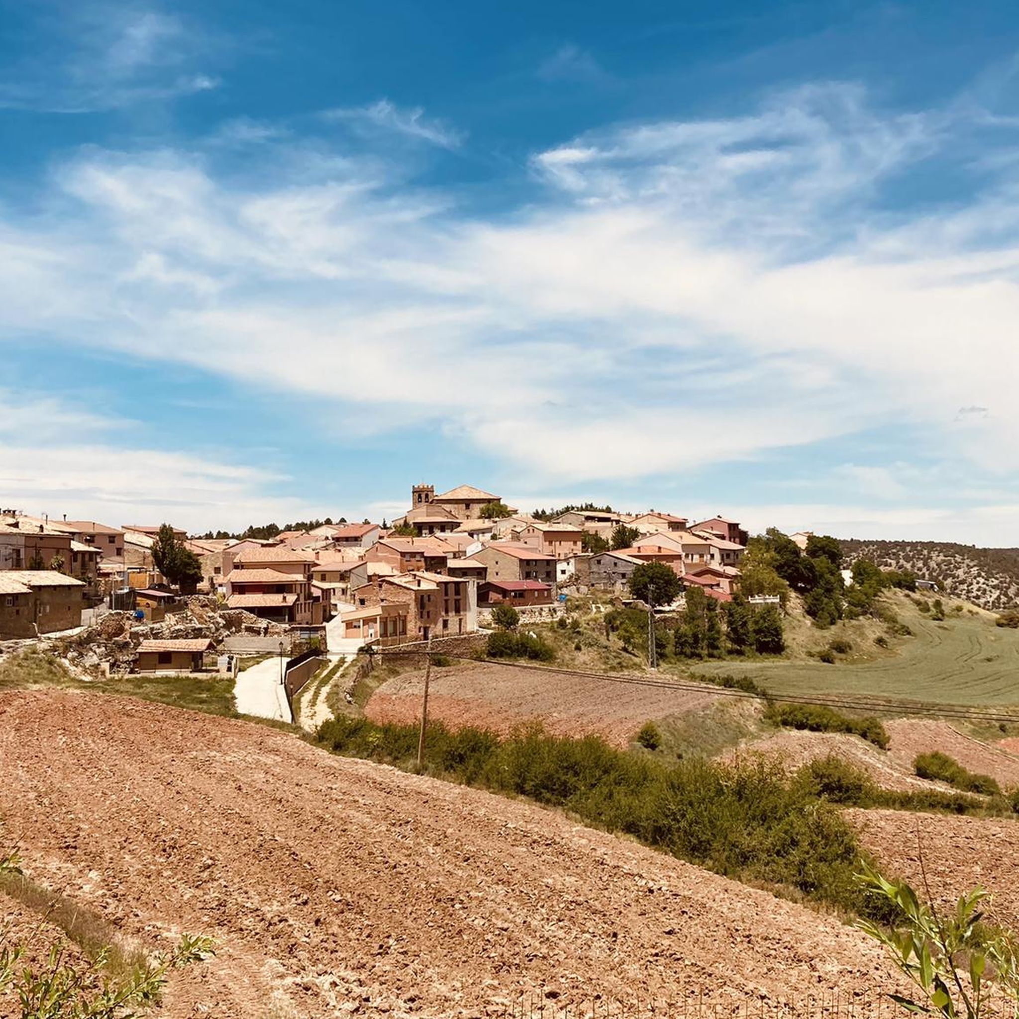
A very picturesque old town, dating back to the first millennium BC. Its eventful history is reflected in its cityscape. Until the mid-19th century, it was even a bishopric. Defense has always been of paramount importance to this town. To protect itself from attackers, the town was built on a hill and is thus surrounded by a naturally formed moat. This defensive function is still omnipresent today, evident in the oversized city walls. However, the town's growth apparently could not keep pace with the expansion of the city walls. Today, despite the picturesque townscape and the beautiful surroundings, the population has been declining for years.
4
0
The official source of water is located at Fuente de García, in the Montes Universales, within the municipality of Frías de Albarracín (Teruel). It is located at an altitude of approximately 1,590 meters, surrounded by pine forests and high mountain meadows. Access is very easy and well signposted. Take the A-1704 highway, which connects Frías de Albarracín with Huélamo (Cuenca). From the highway, a paved detour of approximately 2 km takes you directly to the recreational area and the monument. There is free parking next to the monument.
10
0
Access is very easy and well signposted. Take the A-1704 highway, which connects Frías de Albarracín with Huélamo (Cuenca). From the highway, a paved detour of approximately 2 km takes you directly to the recreational area and the monument. There is free parking next to the monument.
5
0
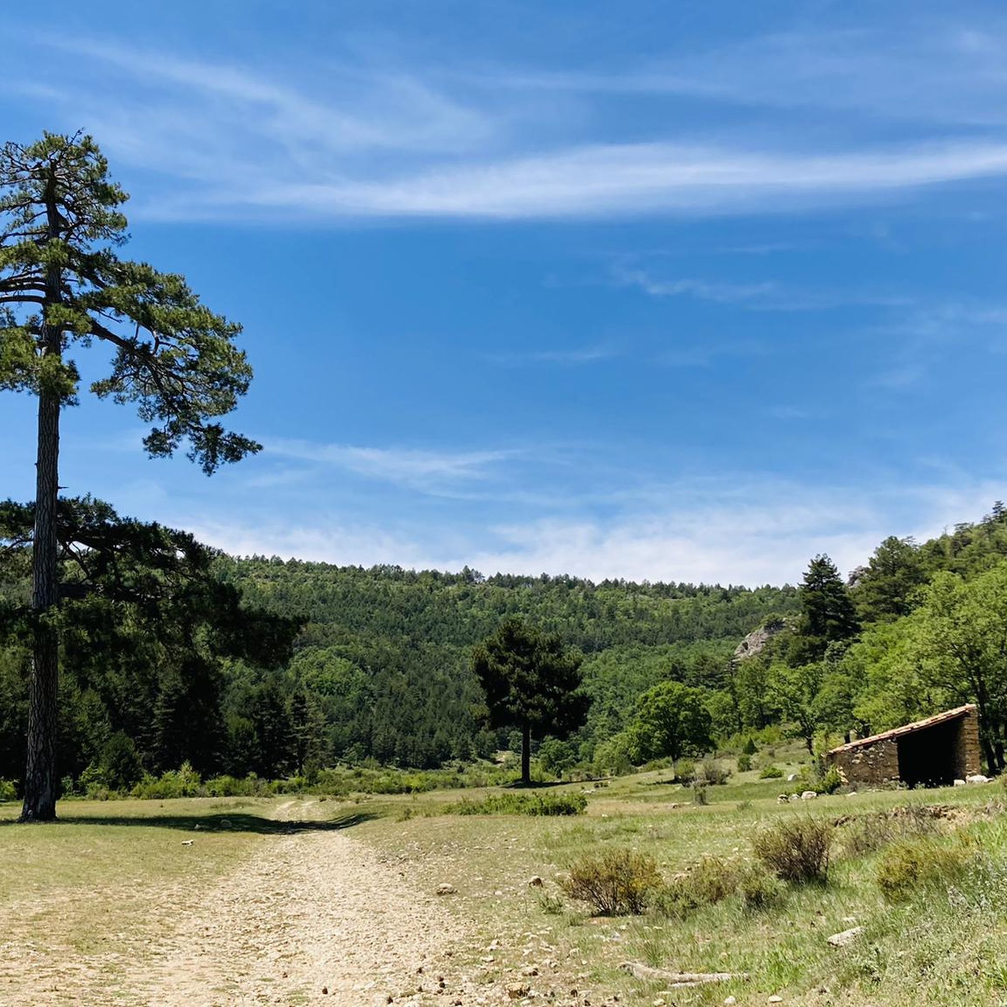
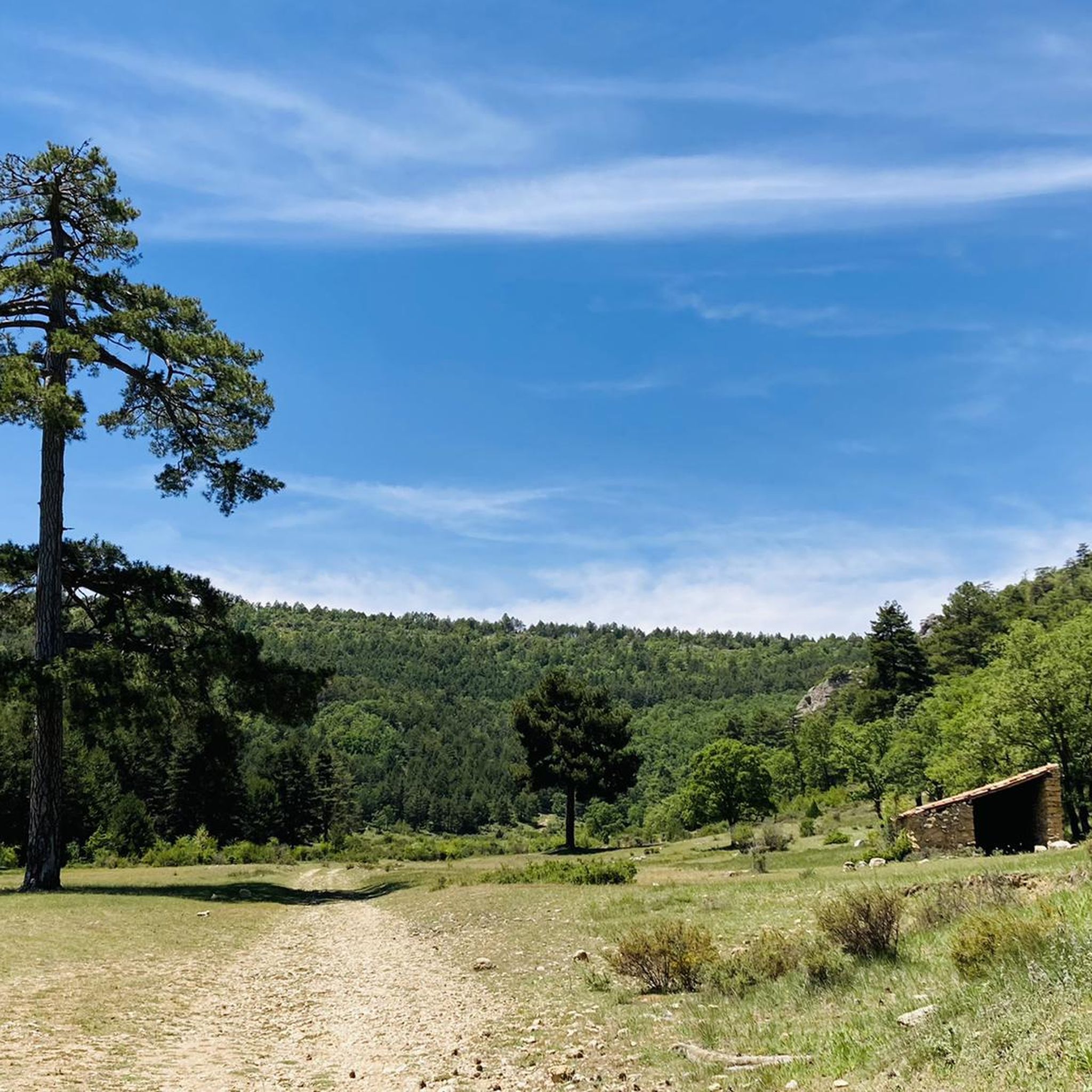
The official source is located at Fuente de García, in the Montes Universales, within the municipality of Frías de Albarracín (Teruel). It is located at an altitude of approximately 1,590 meters, surrounded by pine forests and high mountain meadows.
5
0

It is a reference to the place where the longest river in Spain originates, stretching over 1,000 km and flowing into neighboring Portugal. These statues symbolize this point in the Albarracín mountain range.
8
0

A good place to stop: fountain, park and bar
0
0
A stop with a fountain, park and bar
0
0
Frequently Asked Questions
How many touring cycling routes are available in Moscardón?
Moscardón offers a selection of 13 touring cycling routes, catering to various preferences and skill levels. Most of these routes are considered difficult, with a few moderate options available.
What kind of terrain can I expect on touring cycling routes around Moscardón?
The terrain around Moscardón is diverse, featuring quiet roads, mountain biking sections, and gravel passes. This variety provides a challenging yet rewarding experience amidst the region's natural beauty.
Are there touring cycling routes suitable for different skill levels?
Yes, Moscardón offers routes with differing difficulty levels. While the majority of the 13 routes are classified as difficult, there are 3 moderate options available for those seeking a less strenuous ride.
What natural landmarks or attractions can I see along the touring cycling routes?
Moscardón's routes offer access to several natural features. You can explore the Moricacho of the Gorge, the Ojos del Cabriel, and the Barranco Mingo Marco. The region is also known for the Prado Molinero ravine and the Guadalaviar River Gorge.
Are there any waterfalls accessible by bike in the Moscardón area?
Yes, you can find beautiful waterfalls near some of the touring cycling routes. Notable ones include the Herrería Waterfall and the San Pedro Mill Waterfall.
What is the best time of year for touring cycling in Moscardón?
Moscardón is known for its open skies and lovely countryside, making it enjoyable for cycling across various seasons. The tranquil environment, often described as part of 'Spanish Lapland,' suggests pleasant conditions outside of extreme summer heat or winter cold, allowing cyclists to immerse themselves in nature.
Are there any circular touring cycling routes in Moscardón?
Yes, several routes are designed as loops. For example, the difficult route Empty Mountains - circular via the Zafrilla river and the Cabriel waterfalls - gravel is a 55.9 km loop. Another option is the moderate Albarracín – Portal de Molina, Albarracín loop from Torres de Albarracín, which is 28.3 km.
What do other touring cyclists enjoy most about cycling in Moscardón?
The komoot community rates the touring cycling routes in Moscardón highly, with an average score of 4.3 stars. Cyclists often praise the tranquil environment, diverse routes with gravel sections, and the striking natural landscapes like the Guadalaviar River Gorge.
Are there any historical sites to explore near the cycling routes?
Yes, you can find historical points of interest such as the Molino de las Pisadas, which is a historical site located near some of the touring cycling routes in the area.
Is there a challenging touring cycling route that includes significant elevation gain?
For a challenging ride with substantial elevation, consider the Torres de Albarracín – Camping Las Corralizas loop from Torres de Albarracín. This difficult 42.2 km route features an elevation gain of over 950 meters.
What is a good moderate touring cycling route for scenic views?
The Albarracín – Portal de Molina, Albarracín loop from Torres de Albarracín is a moderate 28.3 km path that offers scenic views around the Albarracín area, making it a great choice for a picturesque ride.
Are there any routes that pass through the Guadalaviar area?
Yes, the difficult Forest House Refuge – Guadalaviar loop from Frías de Albarracín is a 46.0 km trail that leads through the Guadalaviar area, offering an immersive experience in this natural setting.
Most popular attractions around Moscardón

Get inspired with the komoot mobile app


Explore more
Browse the best Cycling routes in other regions.
