The best road cycling routes around Jabaloyas
275
riders
15
rides
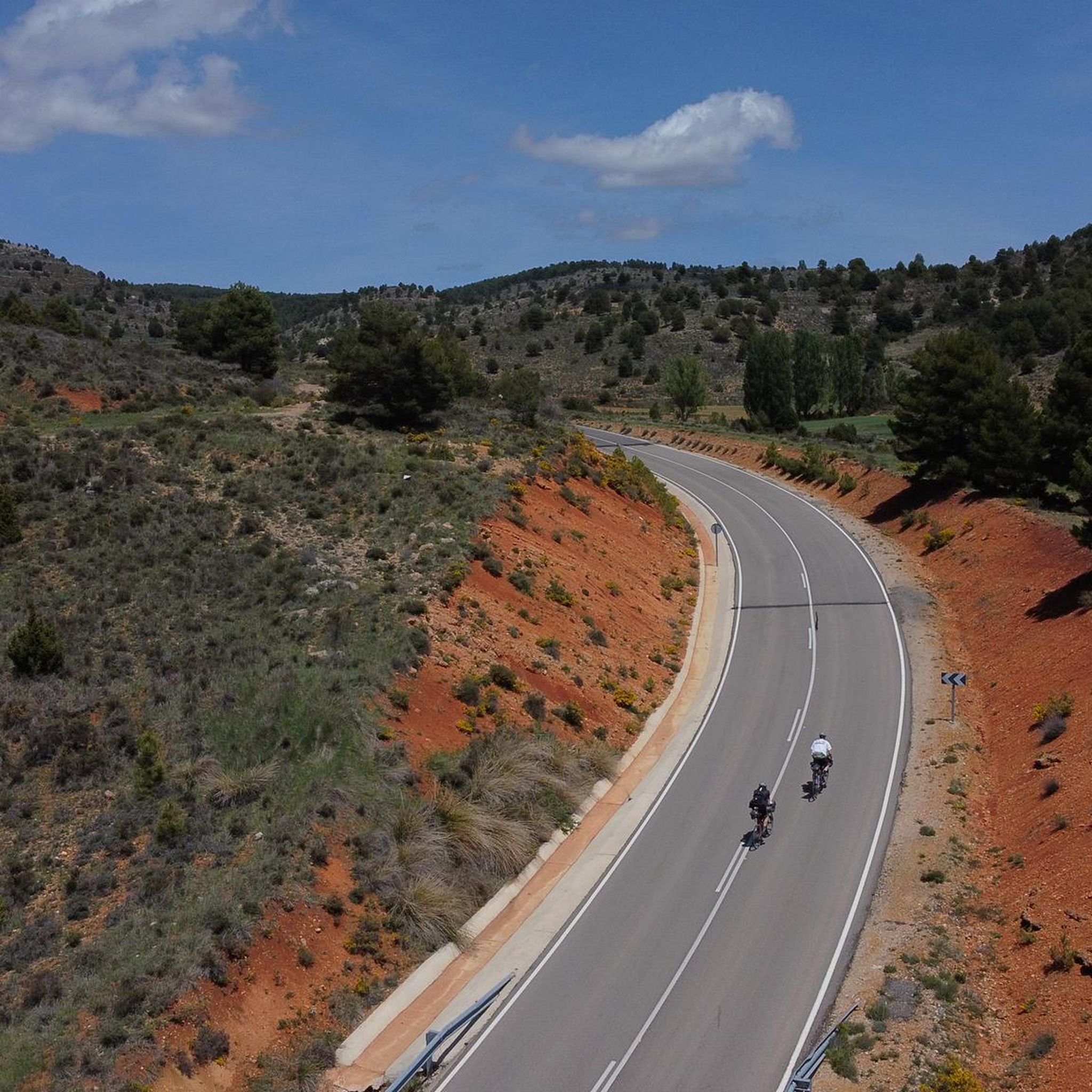
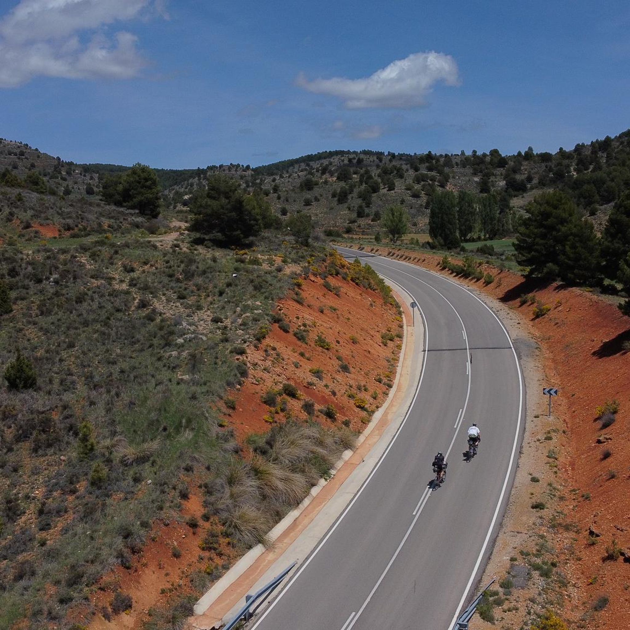
Road cycling routes around Jabaloyas traverse the Sierra de Albarracín mountains, featuring diverse terrain with "muelas" or mesa-like structures and dense pine forests. The region is situated over 1,400 meters high, providing routes with significant elevation changes. Cyclists encounter limestone formations and natural springs throughout the mountainous landscape. This area offers varied road cycling experiences across its natural features.
Best road cycling routes around Jabaloyas
- The most popular road cycling route is The Three Taifas - Albarracín Loop, a 36.4 miles (58.6 km) trail that takes 2 hours 48 minutes to complete. This moderate route offers views of the surrounding mountainous terrain.
- Another top favourite among local road cyclists is Gea de Albarracín – El Campillo Pond and Church loop from Saldón, a moderate 43.7 miles (70.4 km) path. This route leads through varied landscapes, including a pond and local church.
- Local road cyclists also love the The Staircase of Teruel – Calicanto Waterfall loop from Alobras, a 67.8 miles (109.1 km) trail leading through mountainous terrain and past a waterfall, often completed in about 5 hours 22 minutes.
- Road cycling around Jabaloyas is defined by mountainous terrain, dense pine forests, and limestone formations. The network offers options for moderate and difficult ability levels.
- The guide includes highly-rated routes that showcase the best of the region's landscape. More than 250 road cyclists have used komoot to explore Jabaloyas's varied terrain.
Last updated: May 15, 2026
51
riders
58.6km
02:49
820m
830m
Moderate road ride. Good fitness required. Mostly well-paved surfaces and easy to ride.
73
riders
70.4km
03:15
870m
870m
Moderate road ride. Good fitness required. Mostly well-paved surfaces and easy to ride.

Sign up for free
21
riders
109km
05:23
1,470m
1,470m
Hard road ride. Very good fitness required. Some segments of this route may be unpaved and difficult to ride.
18
riders
103km
05:09
1,590m
1,590m
Hard road ride. Very good fitness required. Mostly well-paved surfaces and easy to ride.
9
riders
95.8km
04:46
1,510m
1,510m
Hard road ride. Very good fitness required. Some segments of this route may be unpaved and difficult to ride.
Get access to more routes and recommendations from other explorers.
Sign up for free
Already have an account?
Our route recommendations are based on thousands of hikes, rides, and runs completed by other people on komoot.
Start today with a free account
Your next adventure awaits.
Login or Signup

Other adventures around Jabaloyas

Tips from the Community

Beautiful place, the village, the castle, the church, everything!
0
1

A run-down place that is clearly overshadowed by the tourist highlight Albarracín.
0
0

The section of the A-1512 that starts in Albarracín and heads toward Noguera de Albarracín and Orihuela del Tremedal is known for its spectacular natural beauty. This route passes through gorges, dense pine and holm oak forests, and areas of outstanding scenic value such as the Tremedales de Orihuela, with unique features such as rocky rivers and peat bogs.
1
0

Next to the town square and with our backs to the village, we find the local church, whose state of preservation is not exactly the best of all the churches in the region, but it is still open for worship and mass is held at least once a week.
10
0
The official source of water is located at Fuente de García, in the Montes Universales, within the municipality of Frías de Albarracín (Teruel). It is located at an altitude of approximately 1,590 meters, surrounded by pine forests and high mountain meadows. Access is very easy and well signposted. Take the A-1704 highway, which connects Frías de Albarracín with Huélamo (Cuenca). From the highway, a paved detour of approximately 2 km takes you directly to the recreational area and the monument. There is free parking next to the monument.
10
0
Access is very easy and well signposted. Take the A-1704 highway, which connects Frías de Albarracín with Huélamo (Cuenca). From the highway, a paved detour of approximately 2 km takes you directly to the recreational area and the monument. There is free parking next to the monument.
5
0
The official source is located at Fuente de García, in the Montes Universales, within the municipality of Frías de Albarracín (Teruel). It is located at an altitude of approximately 1,590 meters, surrounded by pine forests and high mountain meadows.
5
0
It is a reference to the place where the longest river in Spain originates, stretching over 1,000 km and flowing into neighboring Portugal. These statues symbolize this point in the Albarracín mountain range.
8
0
Frequently Asked Questions
How many road cycling routes are available around Jabaloyas?
There are over 15 road cycling routes available around Jabaloyas, offering a variety of experiences for cyclists. These routes traverse diverse landscapes, from mountainous terrain to dense pine forests.
What kind of terrain can I expect on road cycling routes in Jabaloyas?
Road cycling routes in Jabaloyas feature diverse terrain, including dramatic "muelas" or mesa-like structures, dense pine forests, and limestone formations. The region is situated over 1,400 meters high, providing routes with significant elevation changes and a mountainous backdrop.
What are the difficulty levels of road cycling routes in Jabaloyas?
The road cycling routes around Jabaloyas are primarily moderate to difficult. You'll find 5 moderate routes and 10 difficult routes, making it an ideal destination for cyclists looking for a challenge with rewarding climbs and descents.
Are there any natural attractions or landmarks to see along the road cycling routes?
Yes, many routes pass by stunning natural attractions. You might encounter picturesque waterfalls like the Herrería Waterfall or the San Pedro Mill Waterfall. The region also features beautiful lagoons such as Laguna de Bezas and Balsa del Pinar, set amidst pine and juniper trees.
Can I combine road cycling with other outdoor activities in Jabaloyas?
Absolutely. Jabaloyas is part of the Sierra de Albarracín and the Cabriel Valley Biosphere Reserve, offering opportunities for hiking through pine and juniper forests. As a Starlight Stellar Park, it's also excellent for stargazing. Nearby climbing zones and the bouldering mecca of Albarracín provide additional adventures.
What are some challenging road cycling routes in the area?
For experienced cyclists seeking a challenge, routes like The Staircase of Teruel – Calicanto Waterfall loop from Alobras offer significant elevation changes over 109 km. Another demanding option is El Cubillo Pass – Forest House Refuge loop from Terriente, which covers over 100 km with substantial ascent.
Are there any moderate road cycling routes suitable for a good day out?
Yes, there are several moderate routes perfect for a rewarding day of cycling. Consider The Three Taifas - Albarracín Loop, a 58.6 km trail offering scenic views. Another popular choice is Gea de Albarracín – El Campillo Pond and Church loop from Saldón, a 70.4 km path through varied landscapes.
Is parking available near the road cycling routes in Jabaloyas?
While specific parking areas for each route are not detailed, Jabaloyas and surrounding towns typically offer public parking facilities. It's advisable to check local signage upon arrival for the most convenient spots to begin your ride.
What is the best time of year for road cycling in Jabaloyas?
Given Jabaloyas's elevation of over 1,400 meters, spring and autumn generally offer the most pleasant conditions for road cycling, with milder temperatures and beautiful scenery. Summers can be warm, and winters may bring colder temperatures and potential snow at higher altitudes.
Are there any family-friendly road cycling options in Jabaloyas?
While many routes in the immediate area are moderate to difficult, the region does host events like the 'Brujas Bike' which offers different distances, suggesting some routes may be more accessible. For truly family-friendly options, it's best to look for shorter, flatter sections or dedicated bike paths in nearby valleys, as the mountainous terrain around Jabaloyas often involves significant elevation changes.
What do other road cyclists enjoy the most about road cycling in Jabaloyas?
The komoot community frequently praises the spectacular, almost virgin landscapes of the Sierra de Albarracín. Cyclists often highlight the challenging yet rewarding mountainous terrain, the dense pine forests, and the opportunities to encounter wild fauna like deer and wild boars, making for a truly immersive outdoor experience.
Are there any long-distance cycling routes that pass through Jabaloyas?
Yes, Jabaloyas is a recognized point on the 'Montañas Vacías' (Empty Mountains) route, a popular long-distance cycling adventure. This inclusion further solidifies its reputation as a significant destination for road cyclists seeking extensive tours.
Most popular attractions around Jabaloyas

Get inspired with the komoot mobile app


Explore more
Browse the best Road cycling routes in other regions.
