The best running trails around Tornavacas
5.0
(1)
295
runners
48
runs
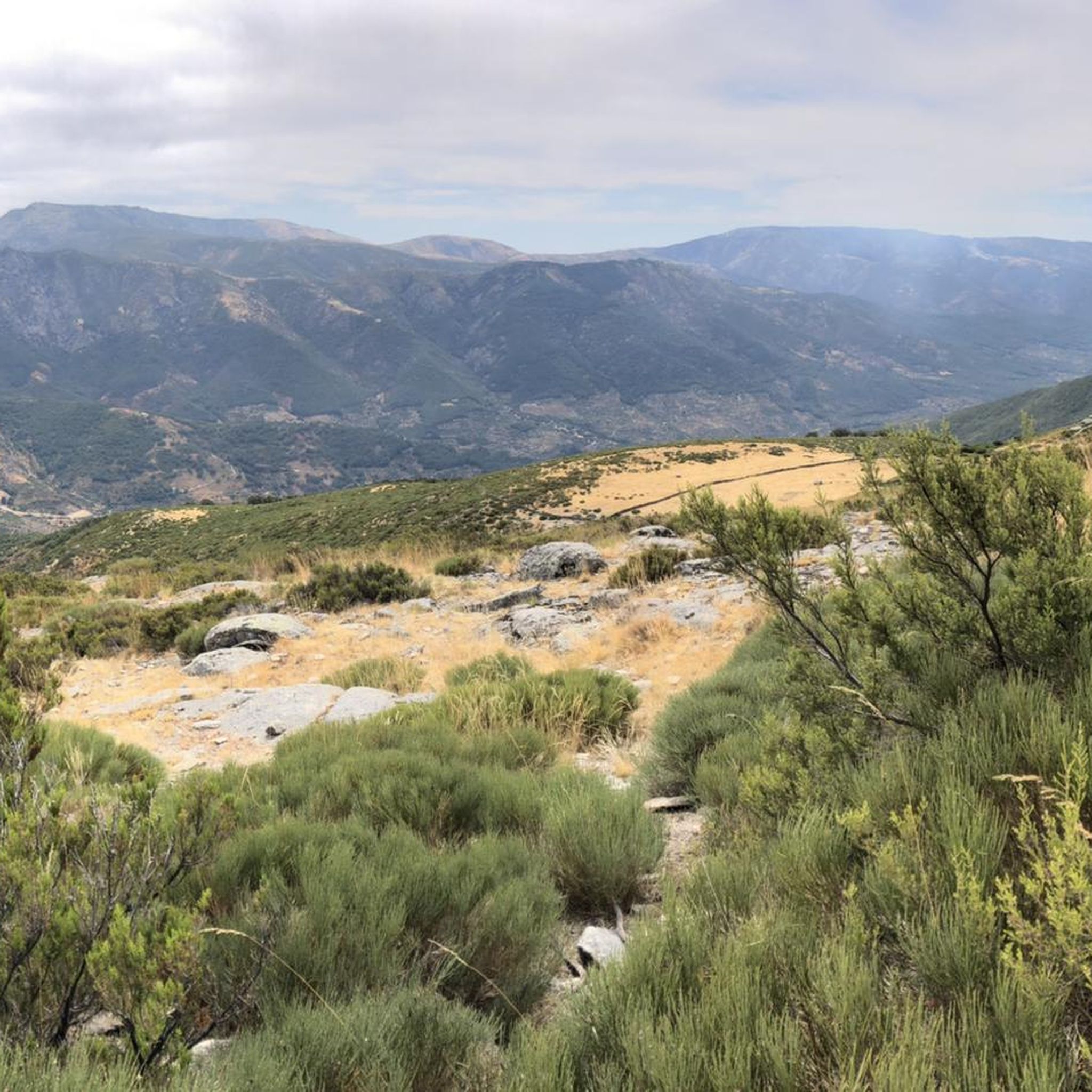
Jogging routes around Tornavacas are situated within the Jerte Valley, at the base of the Gredos and Béjar mountain ranges. The region features mountainous terrain with varied slopes, numerous gorges, and the Jerte River. A significant portion of the area is part of the Garganta de los Infiernos Natural Reserve, offering diverse landscapes for running. This environment provides a range of running experiences, from paths along river valleys to more challenging mountain trails through cherry, oak, and chestnut forests.
Best…
Last updated: July 2, 2026
11
runners
13.9km
02:38
790m
780m
This difficult 8.7-mile trail run in Sierra de Candelario climbs 2585 feet to Canchal de la Ceja and El Torreón, offering alpine views.
8
runners
11.1km
01:50
540m
540m
This difficult 6.9-mile (11.1 km) jogging route offers stunning natural beauty, including the Charco del Trabuquete waterfall.

Sign up for free
5.0
(1)
5
runners
Hard run. Very good fitness required. Mostly accessible paths. Some sure footedness required.
3
runners
14.4km
02:45
890m
880m
This difficult 8.9-mile jogging route in Sierra de Gredos offers stunning glacial lakes and panoramic views from Canchal de la Ceja.
1
runners
Hard run. Very good fitness required. Sure-footedness, sturdy shoes and alpine experience required.
Get access to more routes and recommendations from other explorers.
Sign up for free
Already have an account?
Our route recommendations are based on thousands of hikes, rides, and runs completed by other people on komoot.
Start today with a free account
Your next adventure awaits.
Login or Signup
Tips from the Community

Intricate route. For connoisseurs only
0
0

Pico Cancho La Muela, located between La Garganta (Cáceres) and the Sierra de Béjar, very close to Hervás: Spectacular views of the Hoya Moros Glacial Cirque, the Sierra de Béjar, the Ambroz Valley, the Sierra de Gata, the Sierra de Francia and the Navamuño reservoir.
4
0
Hidden natural freshwater pools where you can swim and sunbathe, with access via a route through rocky valleys. Of course, the water is very cool when you come down from the mountains.
6
0

the water is super cold even in summer!!!
0
0

Located in the charming and quiet town of Guijo de Santa Bárbara, Charco del Trabuquete is a simple, although somewhat demanding, route that runs through the Jaranda Gorge. A route dotted with cliffs and cliffs through which streams and river gorges with crystal-clear waters flow. It is undoubtedly a natural environment of great beauty nestled between the Sierra de Gredos and the Sierra de Tormantos.
0
0
At a distance of just 2 km from the Collado de Los Buitres mountain pass, a good area to enjoy nature and breathe fresh air.
7
0

Its peak at 1626 masl offers wonderful panoramic views towards the Parque de la Sierra Candelario in Salamanca and towards the north of Extremadura in the other direction. The journey coming from Béjar is very picturesque and without too much technical difficulty.
1
1
Very close to the Cuerpo de Hombre river and the border with the Extremadura region, this beautiful and picturesque peat bog offers an ideal place to take a break and appreciate this magnificent landscape of the Sierra de Candelario.
1
0
Frequently Asked Questions
How many running routes are available around Tornavacas?
There are over 50 running routes available around Tornavacas, offering a wide range of experiences for different skill levels. You'll find everything from moderate paths to challenging mountain trails.
What kind of terrain can I expect on running trails in Tornavacas?
Running in Tornavacas means navigating diverse terrain within the Jerte Valley, nestled between the Gredos and Béjar mountain ranges. Expect mountainous landscapes with varied slopes, numerous gorges, and paths alongside the Jerte River. Many routes pass through cherry, oak, and chestnut forests, and a significant portion of the area is part of the Garganta de los Infiernos Natural Reserve, known for its unique rock formations and waterfalls.
Are there any easy or beginner-friendly running routes in Tornavacas?
While many routes in Tornavacas are challenging, there is at least one easy running route available. The region offers a variety of paths, so it's possible to find less strenuous options, particularly along river valleys, though most trails feature significant elevation changes.
Can I find challenging trail running routes in Tornavacas?
Absolutely. Tornavacas is ideal for those seeking challenging trail running experiences. With 35 difficult routes out of 50, you'll encounter steep slopes and mountain terrain, reaching up to 2,400 meters in the Calviterio mountains. Routes like Canchal de la Ceja y El Torreón - circular trail run offer significant climbs and rewarding views.
Are there any circular running routes in Tornavacas?
Yes, many of the running routes in Tornavacas are circular, allowing you to start and finish in the same location. For example, the Ruta del Trabuquete – running circular by the Old Path of Castilla is a popular difficult circular path following historical trails.
What natural attractions can I see along the running routes in Tornavacas?
The running routes in Tornavacas offer access to stunning natural attractions. You can explore the famous 'Los Pilones' in the Garganta de los Infiernos Natural Reserve, known for its natural pools and unique rock formations. Other highlights include the Charco del Trabuquete waterfall and various viewpoints like Chorrero de la Virgen Viewpoint, offering panoramic vistas of the Jerte Valley and surrounding mountains.
Are there any running routes that pass by lakes or natural pools?
Yes, several routes in the Tornavacas area lead to or pass by beautiful natural pools and lakes. Beyond Los Pilones, you can find natural pools like El Charco del Trabuquete. The region also features lakes such as Laguna de los Caballeros and Laguna del Duque, which can be destinations for longer runs, particularly in warmer months.
What do other runners enjoy most about jogging in Tornavacas?
The running routes around Tornavacas are highly rated by the komoot community, with an average score of 5.0 stars. Runners frequently praise the diverse terrain, the stunning natural beauty of the Jerte Valley, and the challenging mountain trails that offer rewarding views. The area's combination of river paths, forests, and high-altitude sections makes for a varied and invigorating experience.
Are there any historical or cultural points of interest along the running trails?
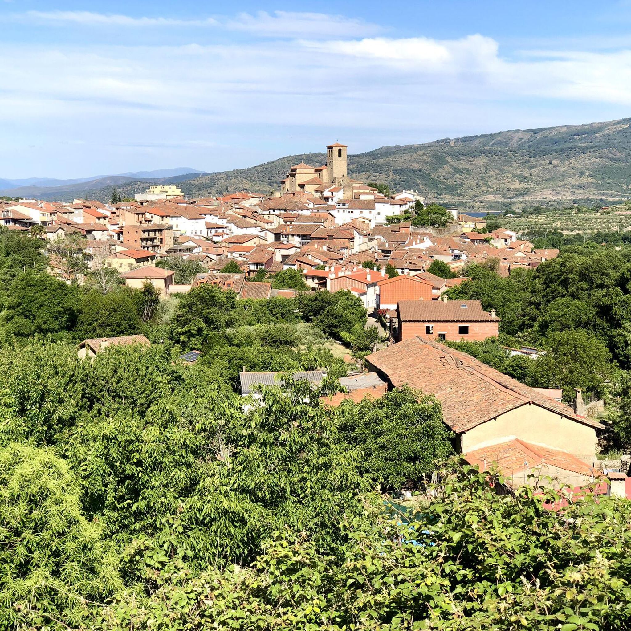
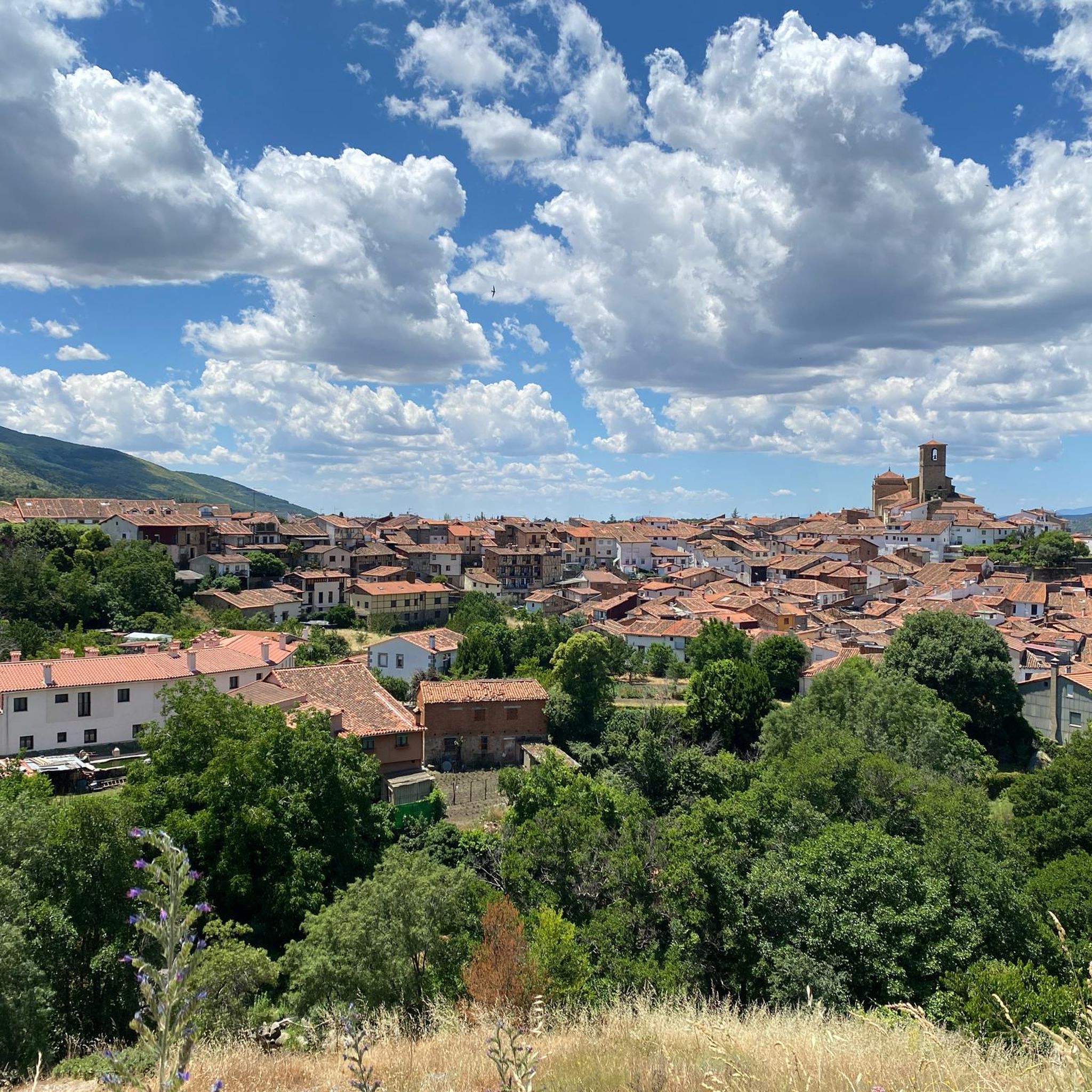
Yes, you can incorporate historical elements into your runs. Tornavacas itself has traditional architecture, medieval bridges like Puente Cimero, and ancient hermitages. Some routes, such as the Ruta del Trabuquete, follow historical paths, offering a glimpse into the local heritage while you run.
What is the best time of year to go running in Tornavacas?
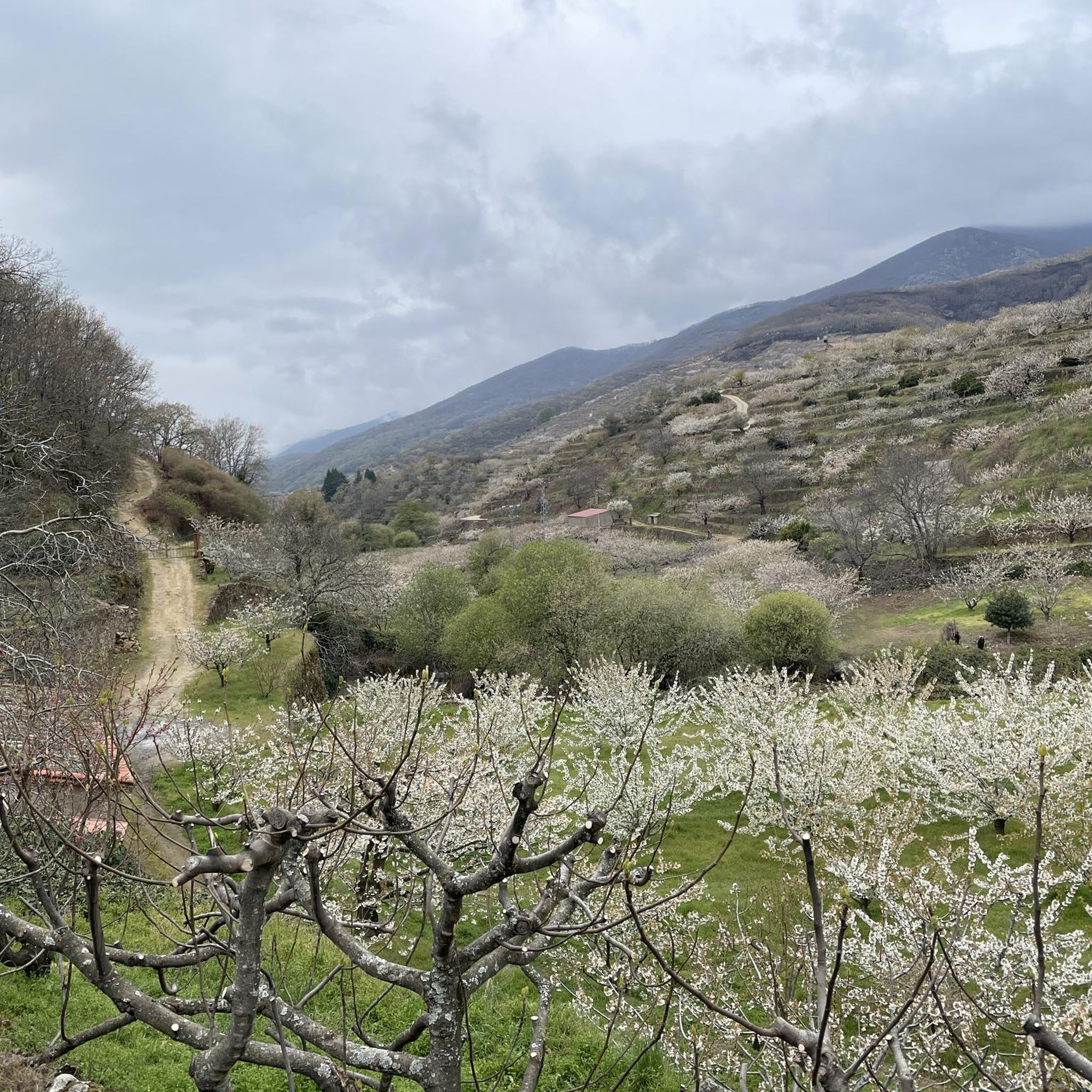
Tornavacas offers great running opportunities year-round, but the spring, especially during the cherry blossom season in the Valle del Jerte, is particularly stunning. Autumn also provides beautiful scenery with changing leaf colors. Summer can be warm, making routes with natural pools like El Charco del Trabuquete refreshing, while winter offers a different, often more challenging, mountain running experience.
Are there any long-distance running routes or trails that pass through Tornavacas?
Yes, Tornavacas is a hub for several marked trails, including sections of long-distance routes. The GR-10 route (Puerto de Tornavacas-Puerto de Honduras) passes through the area, offering extensive options for longer runs. You can experience a section of this on the Puerto de Tornavacas – running on the Camino Natural del Tajo (GR 10) route.
Most popular attractions around Tornavacas

Get inspired with the komoot mobile app


Explore more
Browse the best Running Trails & Routes in other regions.
