The best walks and hikes around Bous
4.5
(260)
1,429
hikers
34
hikes
Hiking around Bous, located in Saarland, Germany, offers access to diverse natural landscapes. The region is characterized by extensive forests and riverine paths along the Saar River, providing varied terrain for outdoor activities. Elevated paths, such as those above the Bommersbach stream, offer views and contribute to the area's varied hiking terrain. These natural features make Bous a starting point for exploring the surrounding environment.
Best hiking trails around Bous
- The most popular hiking route is Saarlouis Weir – German…
Last updated: May 11, 2026
4.8
(12)
81
hikers
11.2km
03:00
140m
140m
Moderate hike. Good fitness required. Easily-accessible paths. Suitable for all skill levels.
4.6
(8)
45
hikers
5.00km
01:22
70m
70m
Easy hike. Great for any fitness level. Easily-accessible paths. Suitable for all skill levels.

Sign up for free
4.3
(7)
48
hikers
12.6km
03:13
50m
50m
Moderate hike. Good fitness required. Easily-accessible paths. Suitable for all skill levels.
4.2
(6)
24
hikers
9.40km
02:32
120m
110m
Moderate hike. Good fitness required. Easily-accessible paths. Suitable for all skill levels.
4.4
(10)
27
hikers
8.55km
02:17
90m
90m
Moderate hike. Good fitness required. Easily-accessible paths. Suitable for all skill levels.
Get access to more routes and recommendations from other explorers.
Sign up for free
Already have an account?
Our route recommendations are based on thousands of hikes, rides, and runs completed by other people on komoot.
Start today with a free account
Your next adventure awaits.
Login or Signup
Tips from the Community

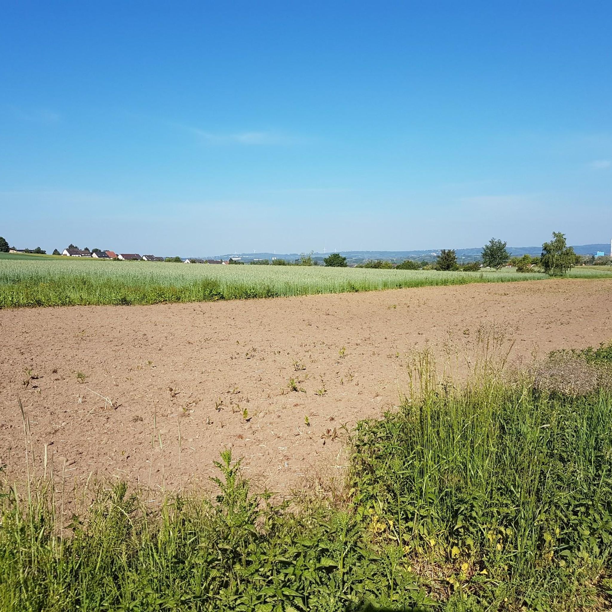
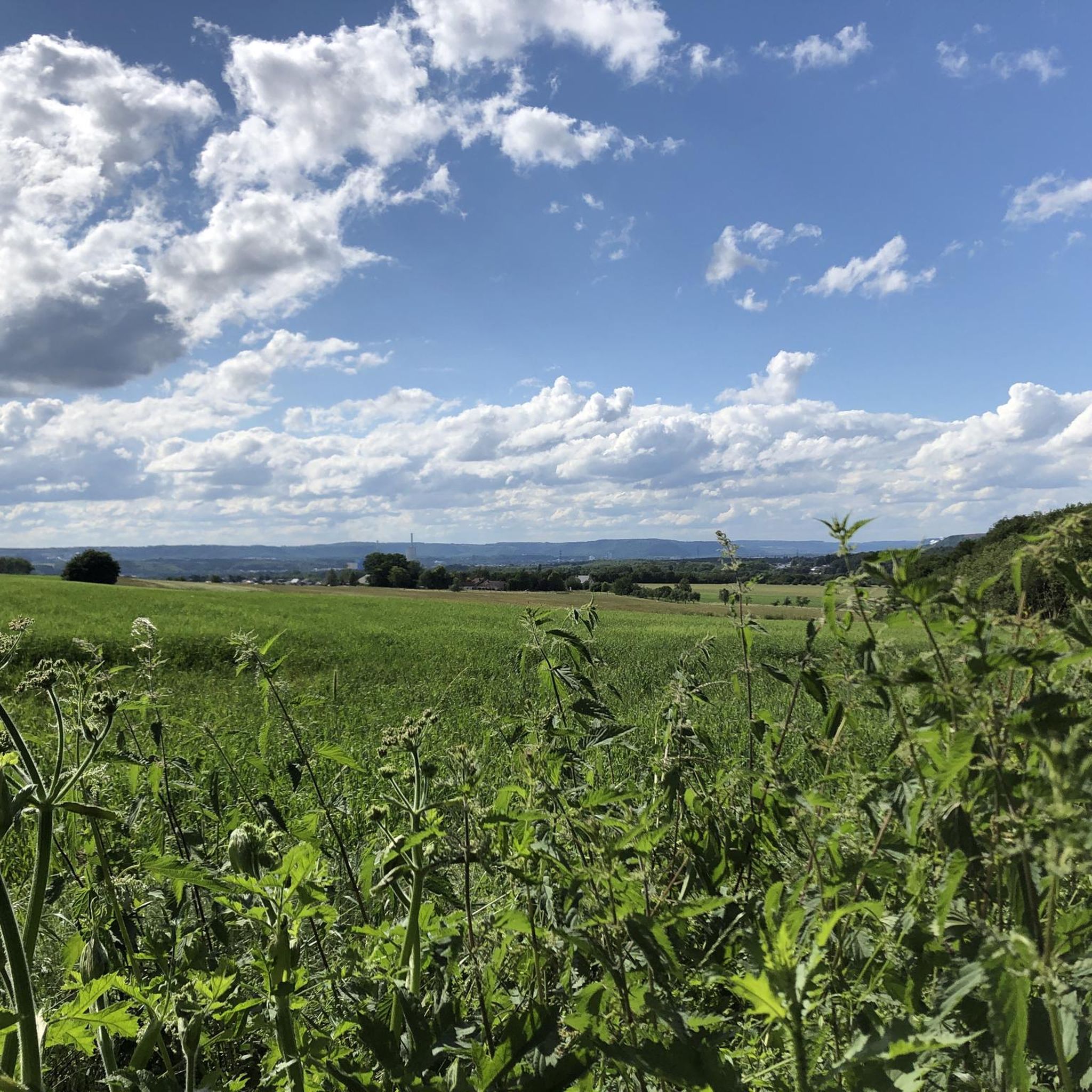
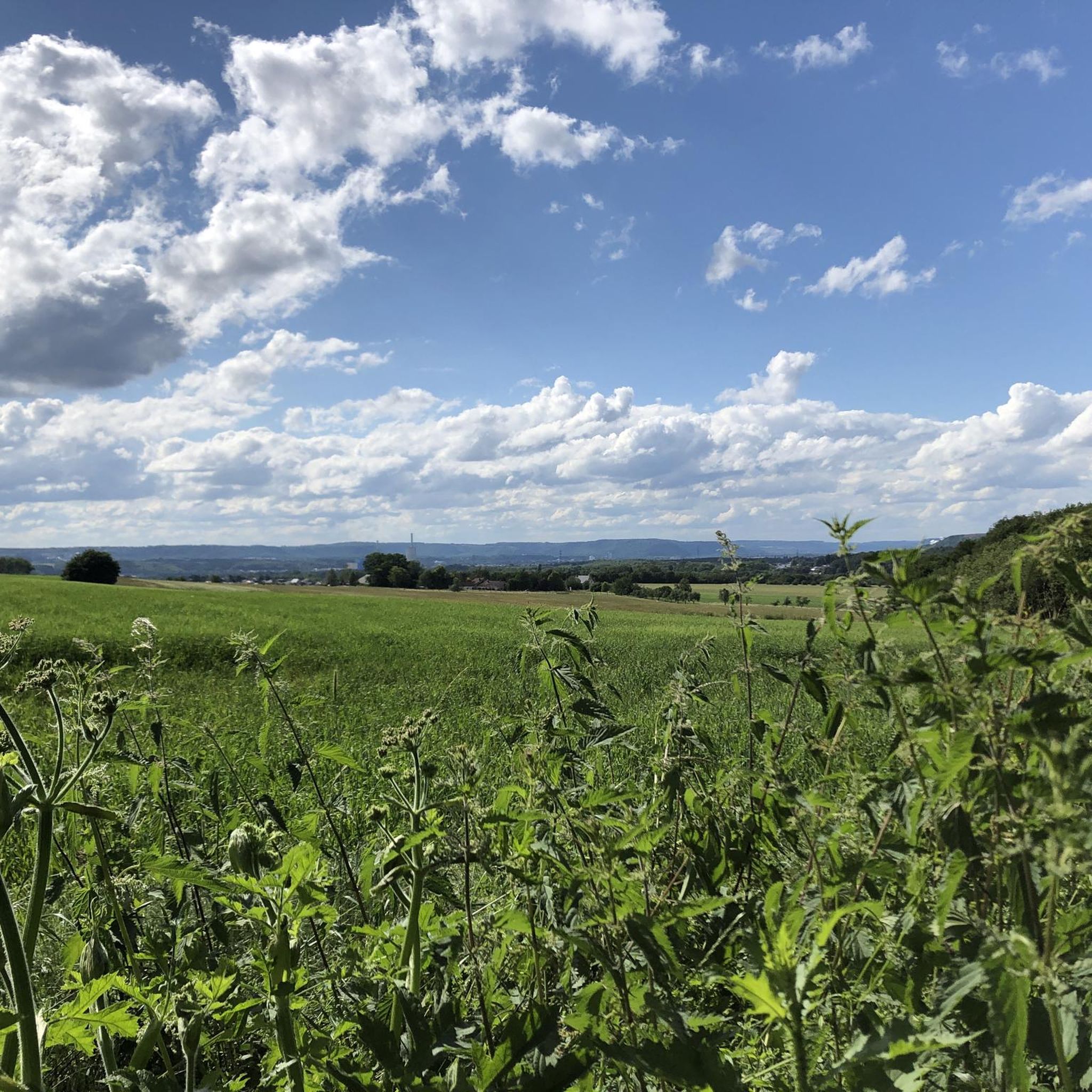
From the Bouser Pfädchen, a wide view opens up across the goat pasture and the Bommersbach stream towards Elm/Derlen: in front, pasture and lush greenery, behind, the valley and the houses on the hillside – a peaceful panorama on the edge of town.
0
0
A simple wooden bench by the wayside – just the right place for a short break. Nestled among leaves, light, and silent trees, you can sit peacefully, listen to the forest, and let your gaze wander along the path before continuing on.
0
0
This is an outdoor fitness area (calisthenics/trim station) in Bous: bars, rings, and equipment for bodyweight exercises, along with exercise boards and marked areas. It's a beautiful, open space for exercise – whether a quick warm-up, stretching, or a short workout in the fresh air. Opened in 2024, the outdoor fitness facility is located near the ponds in the Bommersbachtal recreation area (formerly the Mühlenscheib outdoor swimming pool).
0
0
The water treading basin is a small Kneipp facility for water treading – ideal for a quick refreshment and tired legs. Walking barefoot in the cold water in a slow, stork-like gait is said to stimulate blood circulation and provides a real boost of freshness, especially on warm days. Seating and the roof also make the area a pleasant place to take a break.
0
0
The fishing hut on the grounds of the Bous Angling Club is an ideal starting point for the Bous Trail: Here you'll find a large overview sign showing the route (both the short and long trails), and you're immediately out in nature by the water. It's a peaceful place to arrive – and later a lovely destination when the loop ends back at the Bommersbach stream/pond. If you'd like to stop for refreshments: According to the club, the fishing hut is currently only open on a limited basis; it's best to check the current opening hours with the ASV (Angling Club). https://www.asv-bous.de/fischerhuette/
0
0
Breitenborner Hütte – in the heart of the forest: A simple, covered rest area with benches – perfect for a short break between long stretches through the woods. The hand-painted sign "Breitenbörner Hütte" makes the place unmistakable, and a plaque provides information about supported rural development projects. Here you can sit in peace, listen to the forest – and then continue your hike refreshed.
0
0
Petershof in Bous is primarily known as an equestrian center/horse farm – a rural spot on the edge of town in the "Am Rotenberg" area. The stables, paddock, and riding arena are situated peacefully along the road, and with a bit of luck, you might spot horses basking in the sun. Beyond the woods and meadows, this section feels like a small "window" into farm life.
0
0
Bous (Saar) train station is a stop on the regional rail network, making it an ideal starting and ending point for the Bous Trail: from the train, a few steps through the village – and the loop through the countryside begins. The station is also undergoing extensive modernization, including barrier-free access and a new/extended underpass. Status: March 2026
0
0
Frequently Asked Questions
How many hiking trails are available around Bous?
Bous offers a diverse network of over 30 hiking trails. These routes cater to various skill levels, ranging from easy walks to more challenging hikes, allowing you to explore the region's forests and riverine paths.
Are there any easy hiking trails suitable for beginners or families in Bous?
Yes, Bous has a good selection of easy trails, with 19 routes classified as easy. A great option for a relaxed walk is the Breitenborner Hut – Derler Kipp loop from Breitborner Floss, which is 5.0 km long and leads through pleasant forested areas.
Can I find circular hiking routes in Bous?
Many of the hiking routes around Bous are circular, offering convenient starting and ending points. For example, the Fisherman's Hut Bous – Breitenborner Hut loop from Bous is a moderate 11.2 km circular path that takes you through local forests.
What kind of natural features can I expect to see while hiking around Bous?
Hiking around Bous is characterized by extensive forests, picturesque riverine paths along the Saar River, and elevated trails that offer scenic views. You'll encounter diverse natural environments, from dense woodlands to open fields, providing a varied experience for nature lovers.
Are there any specific landmarks or viewpoints along the hiking trails in Bous?
While hiking around Bous, you can discover several interesting points. The region offers viewpoints like the View of Völklinger Hütte and Saarstahl. You might also come across unique features such as a Wooden Bridge on the Forest Trail or the Burbach Lock (Schleuse Burbach).
Is Bous a dog-friendly hiking destination?
Yes, the natural landscapes around Bous, with its extensive forests and riverine paths, are generally very welcoming for dogs. Many trails offer plenty of space for your dog to explore, but always remember to keep them on a leash where required and clean up after them.
What are the typical trail lengths and durations for hikes in Bous?
Hikes in Bous vary in length and duration. You can find shorter walks, like the 5.0 km Breitenborner Hut – Derler Kipp loop, which takes about 1 hour 22 minutes. Longer routes, such as the 12.6 km Saarlouis Weir – German Newspaper Museum loop, can take around 3 hours 13 minutes to complete.
How can I get to the hiking trails in Bous using public transport?
Bous is accessible by public transport, making it possible to reach trailheads without a car. The town has train connections, and local bus services can help you get closer to various starting points for your hikes. It's advisable to check local transport schedules for the most current information.
Where can I park my car when hiking in Bous?
Parking is generally available at common starting points for hiking trails in and around Bous. Look for designated parking areas near trailheads or in the town center. Specific routes often have information about nearby parking facilities.
What is the best time of year to go hiking in Bous?
The best time to hike in Bous is typically during spring, summer, and autumn. Spring offers blooming nature, summer provides warm weather for longer days, and autumn showcases beautiful fall foliage. While winter hiking is possible, some paths might be slippery or less accessible due to weather conditions.
Are there any places to eat or stay near the hiking trails in Bous?
Bous and its surrounding areas offer options for refreshments and accommodation. You can find local cafes and restaurants in the town center. For longer stays, there are guesthouses and hotels available. Some trails might also pass by huts or facilities like the Kirschheck Nature Friends' House.
What do other hikers say about the trails in Bous?
The hiking trails in Bous are highly regarded by the komoot community, with an average rating of 4.4 stars from over 60 reviews. Hikers often praise the varied terrain, the peaceful forest paths, and the scenic views along the Saar River.
Are there any trails that offer elevated views in Bous?
Yes, the region around Bous features elevated paths, such as those above the Bommersbach stream, which provide scenic views of the valley and surrounding landscapes. These trails add an extra dimension to the hiking experience, offering panoramic vistas.
Most popular routes around Bous
Most popular attractions around Bous

Get inspired with the komoot mobile app


Explore more
Browse the best Hikes in other regions.
