The best cycling routes in the Haßberge
4.5
(6515)
32,376
riders
1,431
rides
Touring cycling in the Haßberge, a low mountain range in Lower Franconia, offers diverse landscapes for cyclists. The region features rolling hills, extensive mixed forests, and river valleys carved by the Main and Itz rivers. Cyclists can navigate developed cycle paths, roads, and gravel tracks, encountering both flat river sections and undulating forest terrain. The area is characterized by its natural beauty and numerous historical attractions, including castles and charming towns.
Best touring cycling routes in the Haßberge
- The most…
Last updated: July 11, 2026
4.6
(22)
96
riders
51.9km
03:45
540m
540m
Hard bike ride. Very good fitness required. Mostly paved surfaces. Suitable for all skill levels.
5.0
(1)
7
riders
105km
06:27
650m
650m
Hard bike ride. Very good fitness required. Mostly paved surfaces. Suitable for all skill levels.

Sign up for free
4.6
(319)
1,639
riders
40.8km
02:18
70m
70m
Moderate bike ride. Good fitness required. Mostly paved surfaces. Suitable for all skill levels.
4.4
(16)
39
riders
41.7km
02:56
530m
530m
Hard bike ride. Very good fitness required. Mostly paved surfaces. Suitable for all skill levels.
5.0
(1)
5
riders
71.5km
04:41
550m
510m
Hard bike ride. Very good fitness required. You may need to push your bike for some segments of this route.
4.7
(173)
957
riders
147km
08:38
790m
790m
Hard bike ride. Very good fitness required. Mostly paved surfaces. Suitable for all skill levels.
4.5
(483)
2,308
riders
66.2km
03:50
310m
310m
Moderate bike ride. Good fitness required. Mostly paved surfaces. Suitable for all skill levels.
4.6
(236)
598
riders
38.4km
02:26
300m
300m
Moderate bike ride. Good fitness required. Mostly paved surfaces. Suitable for all skill levels.
4.5
(350)
1,692
riders
116km
06:43
400m
400m
Hard bike ride. Very good fitness required. Mostly paved surfaces. Suitable for all skill levels.
4.4
(83)
465
riders
119km
06:51
440m
440m
Hard bike ride. Very good fitness required. Mostly paved surfaces. Suitable for all skill levels.
Get access to more routes and recommendations from other explorers.
Sign up for free
Already have an account?
Our route recommendations are based on thousands of hikes, rides, and runs completed by other people on komoot.
Start today with a free account
Your next adventure awaits.
Login or Signup
Popular around Haßberge
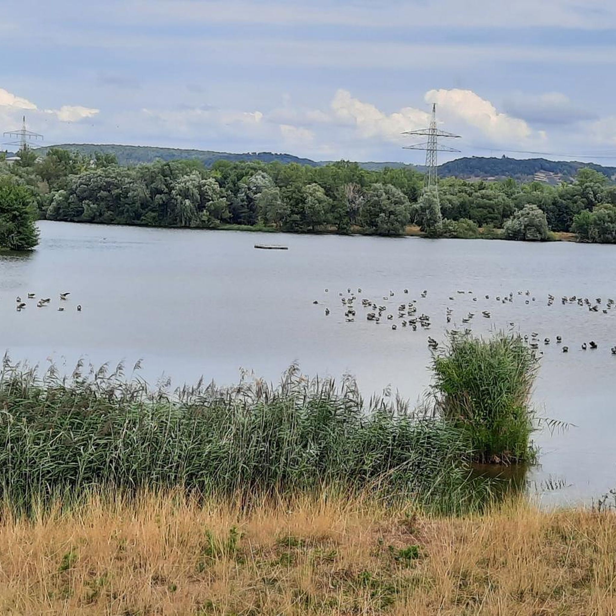
Cycling in Mainaue bei Augsfeld
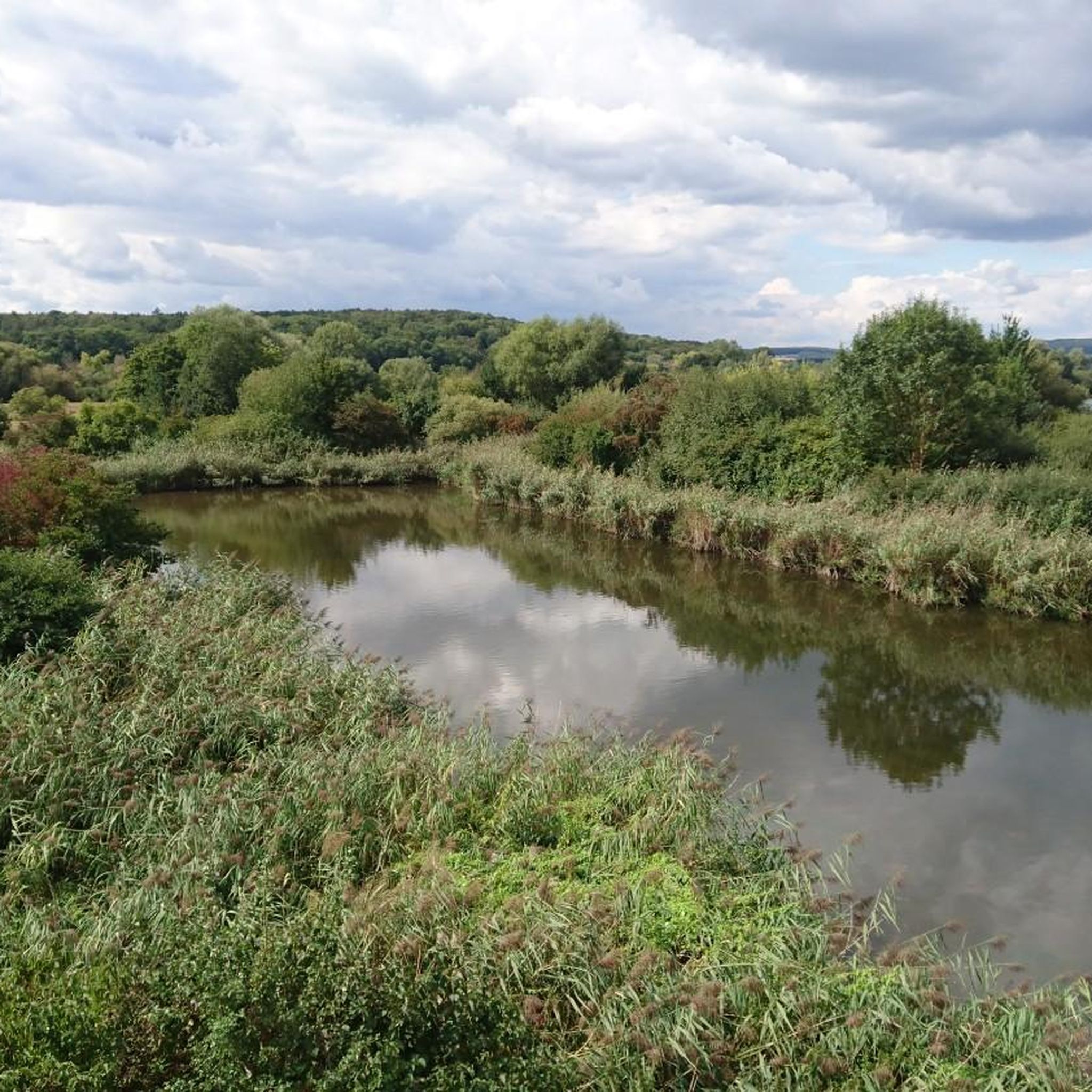
Cycling in Mainaue Bei Augsfeld
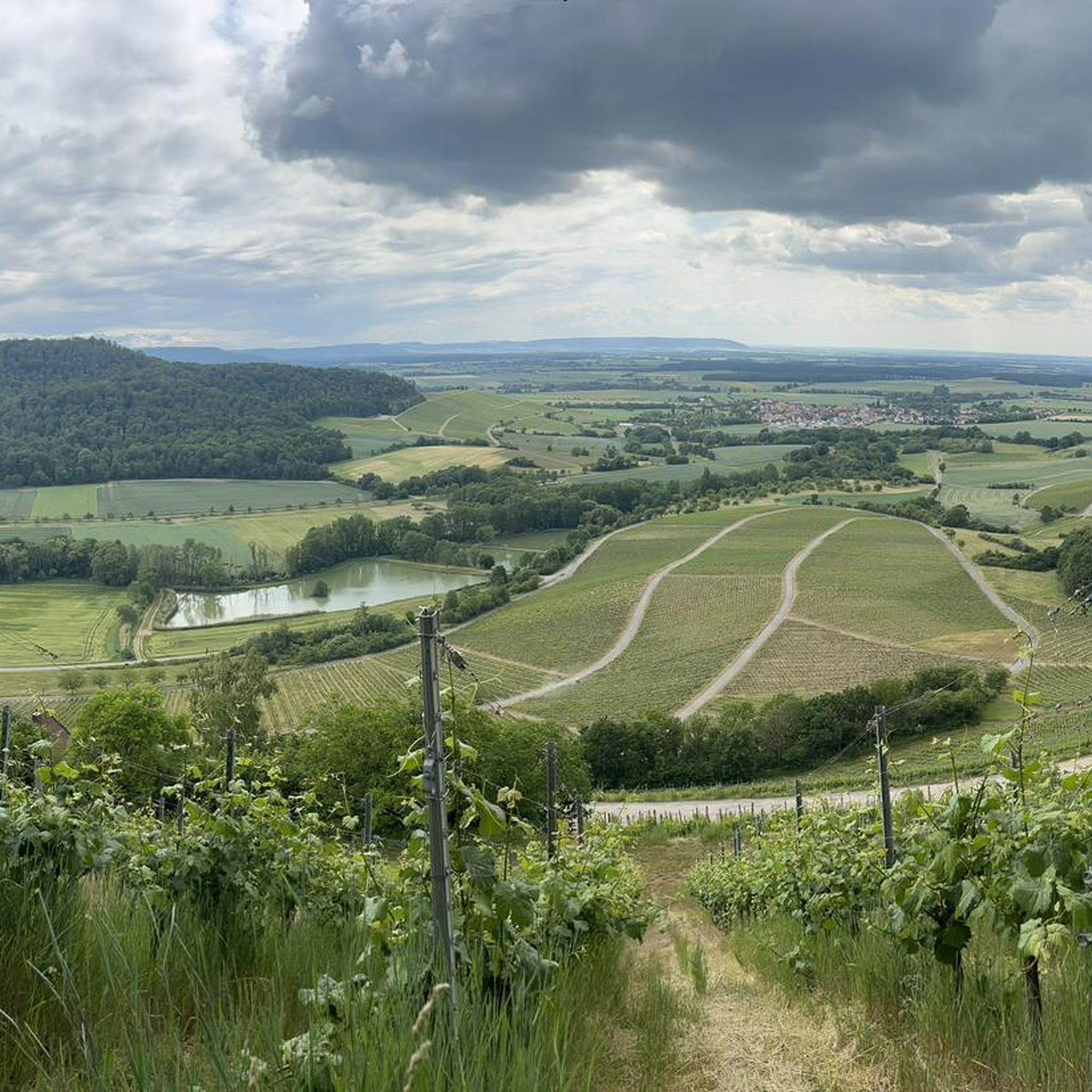
Cycling around Haßfurt
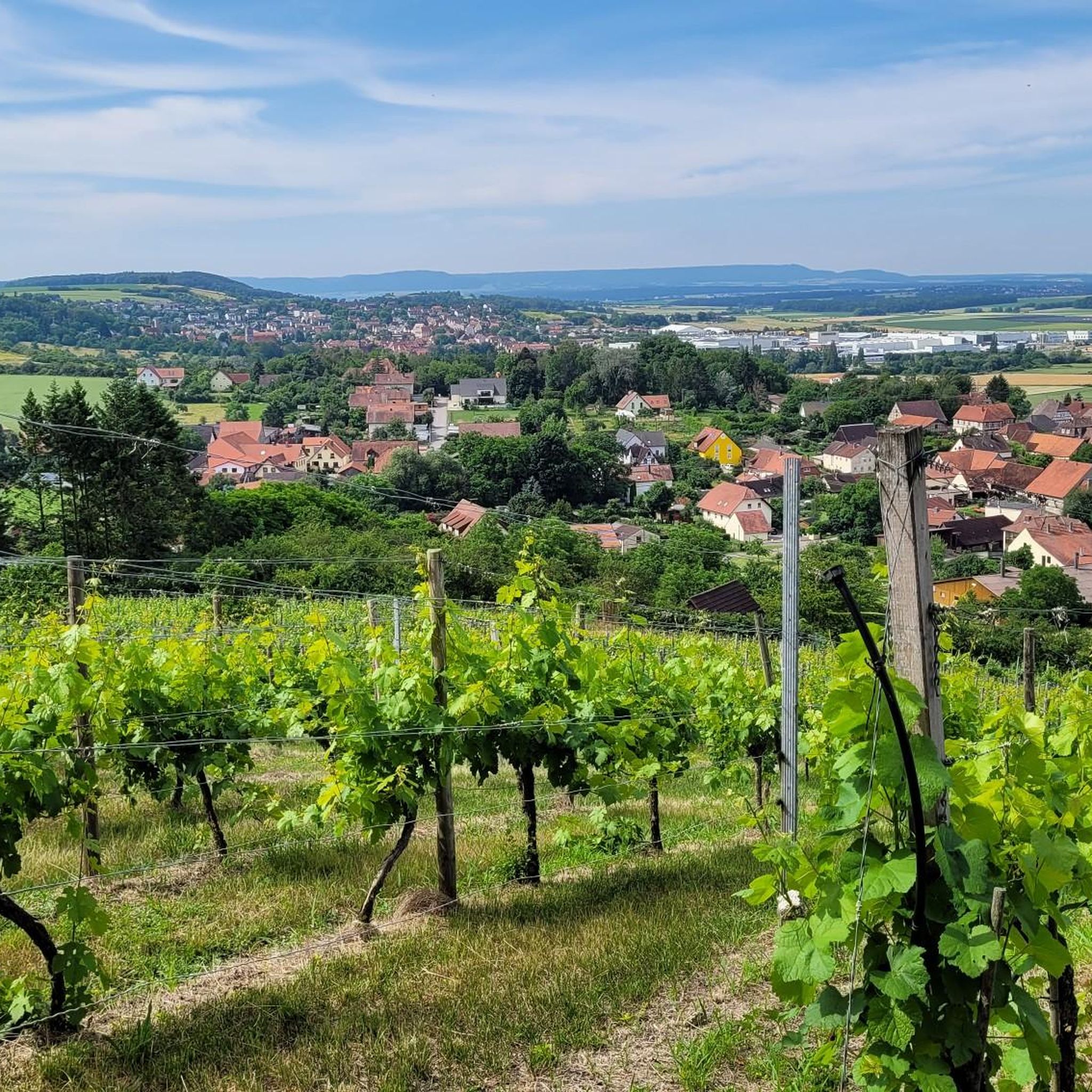
Cycling in Naturpark Haßberge
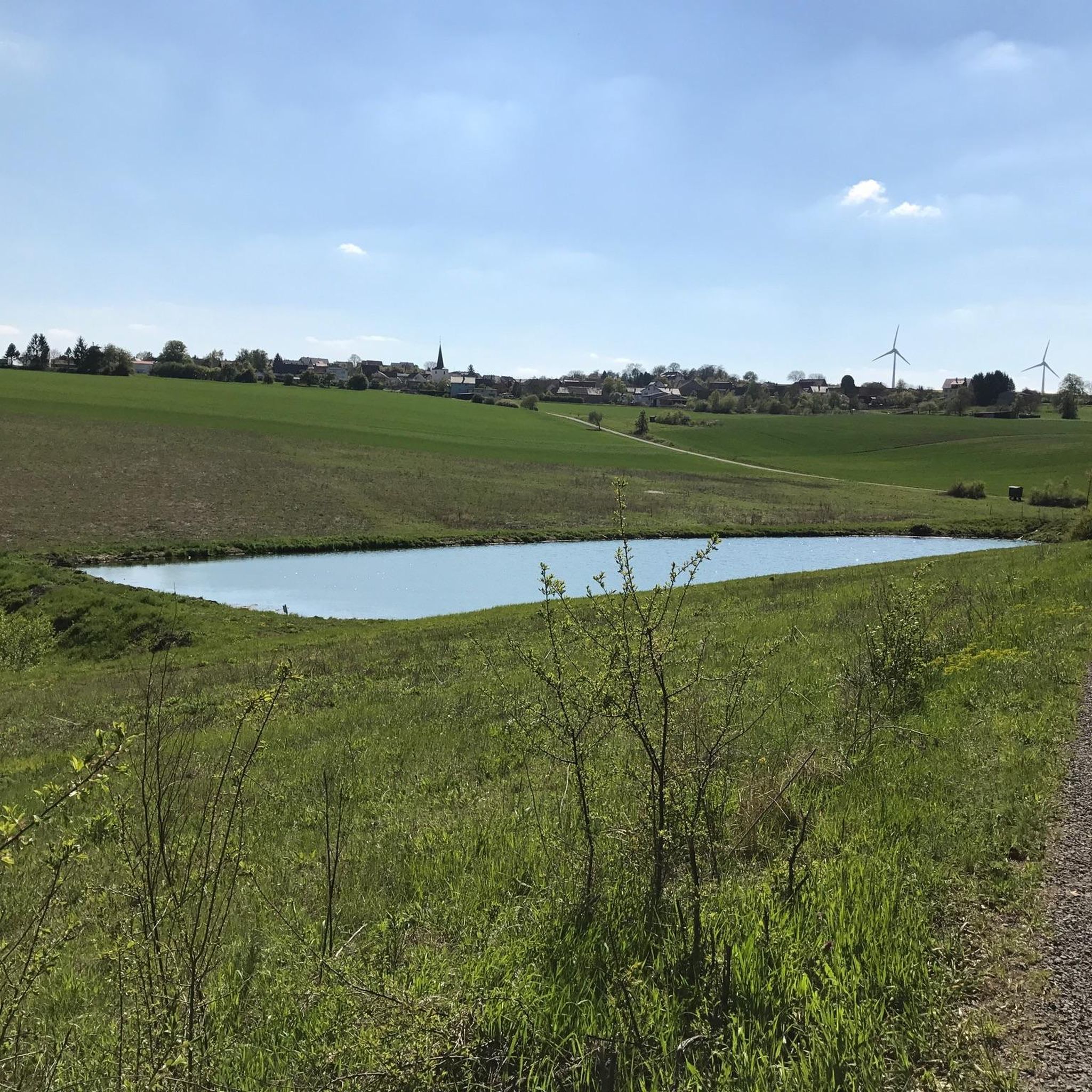
Cycling in Wässernachtal Im Landkreis Haßfurt - Teil Ii
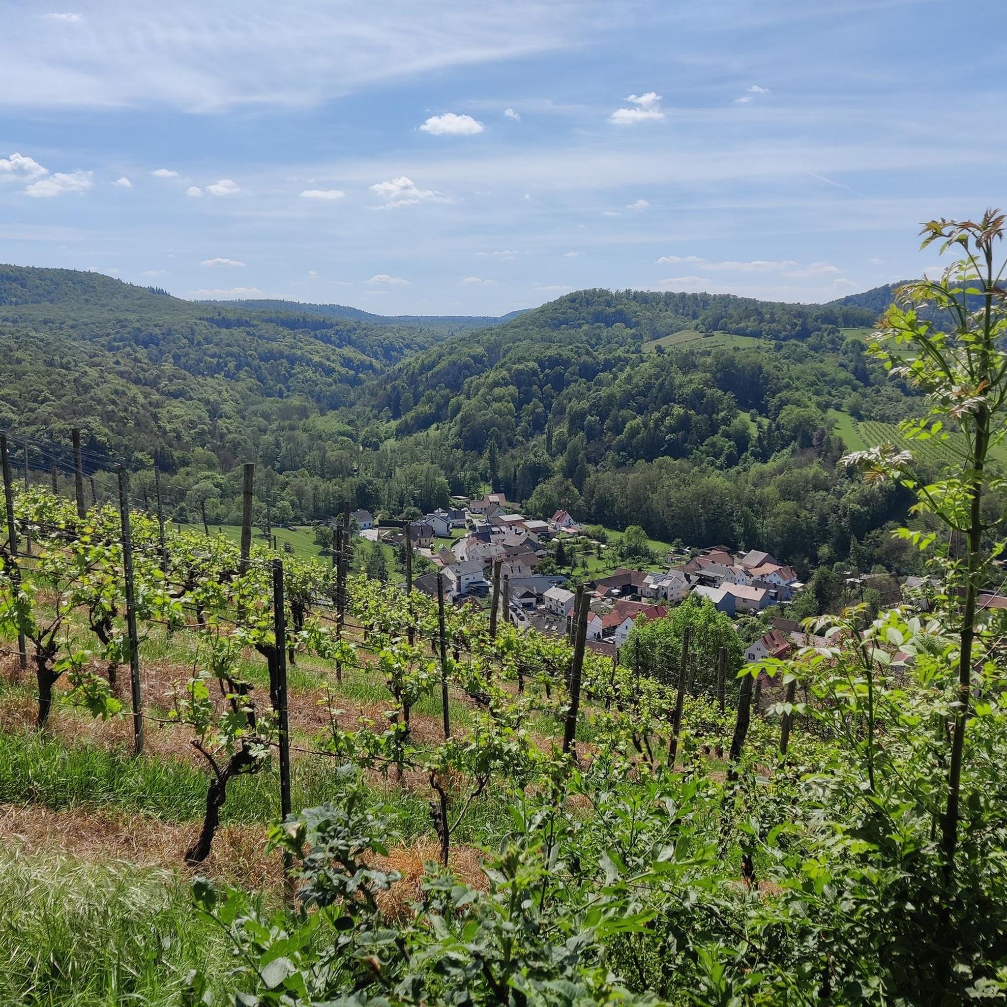
Cycling in Buchenwälder Und Wiesentäler Des Nordsteigerwalds
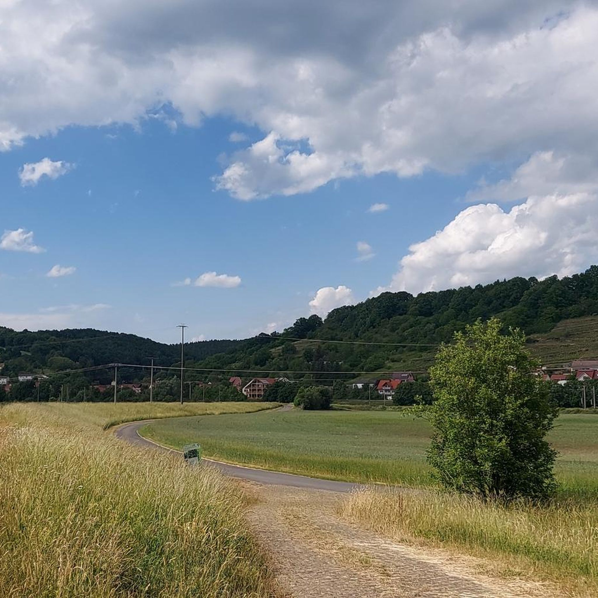
Cycling in Altmain Und Sandmagerrasen Bei Limbach
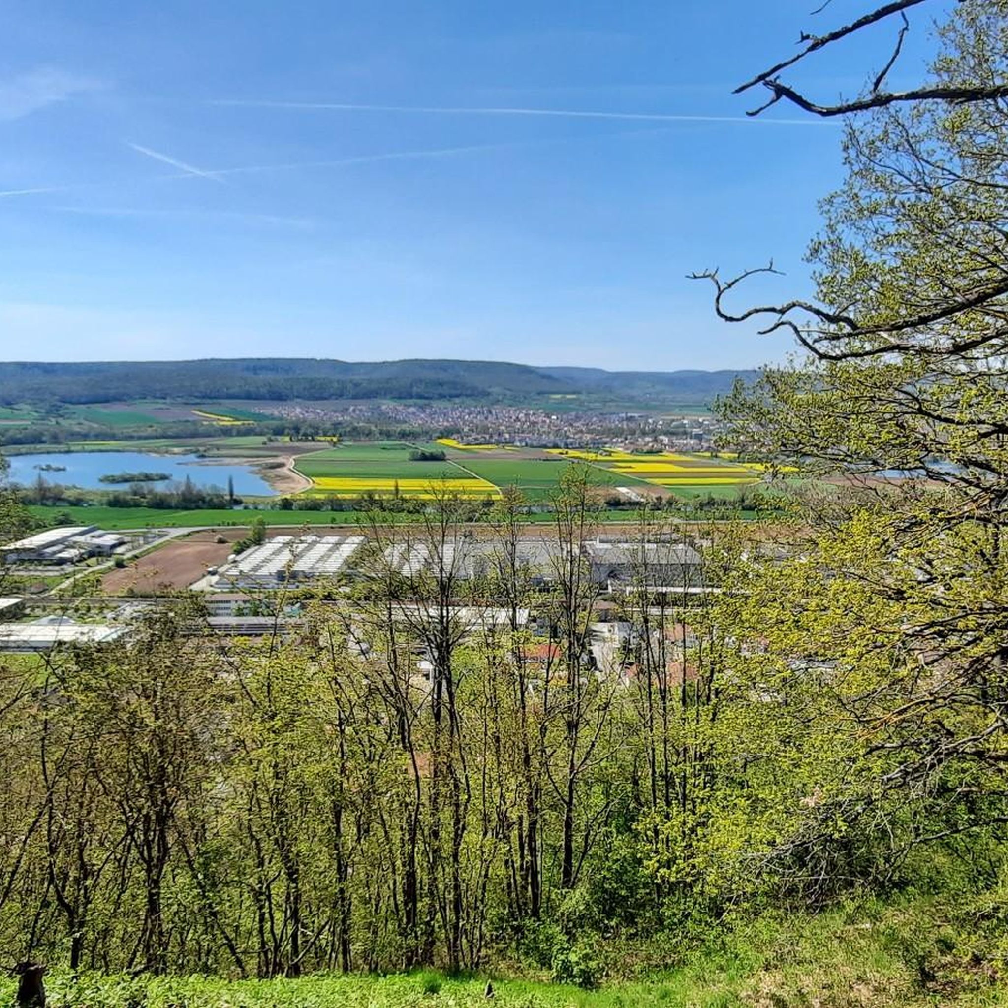
Cycling in Maintalhänge Zwischen Stettfeld Und Zeil
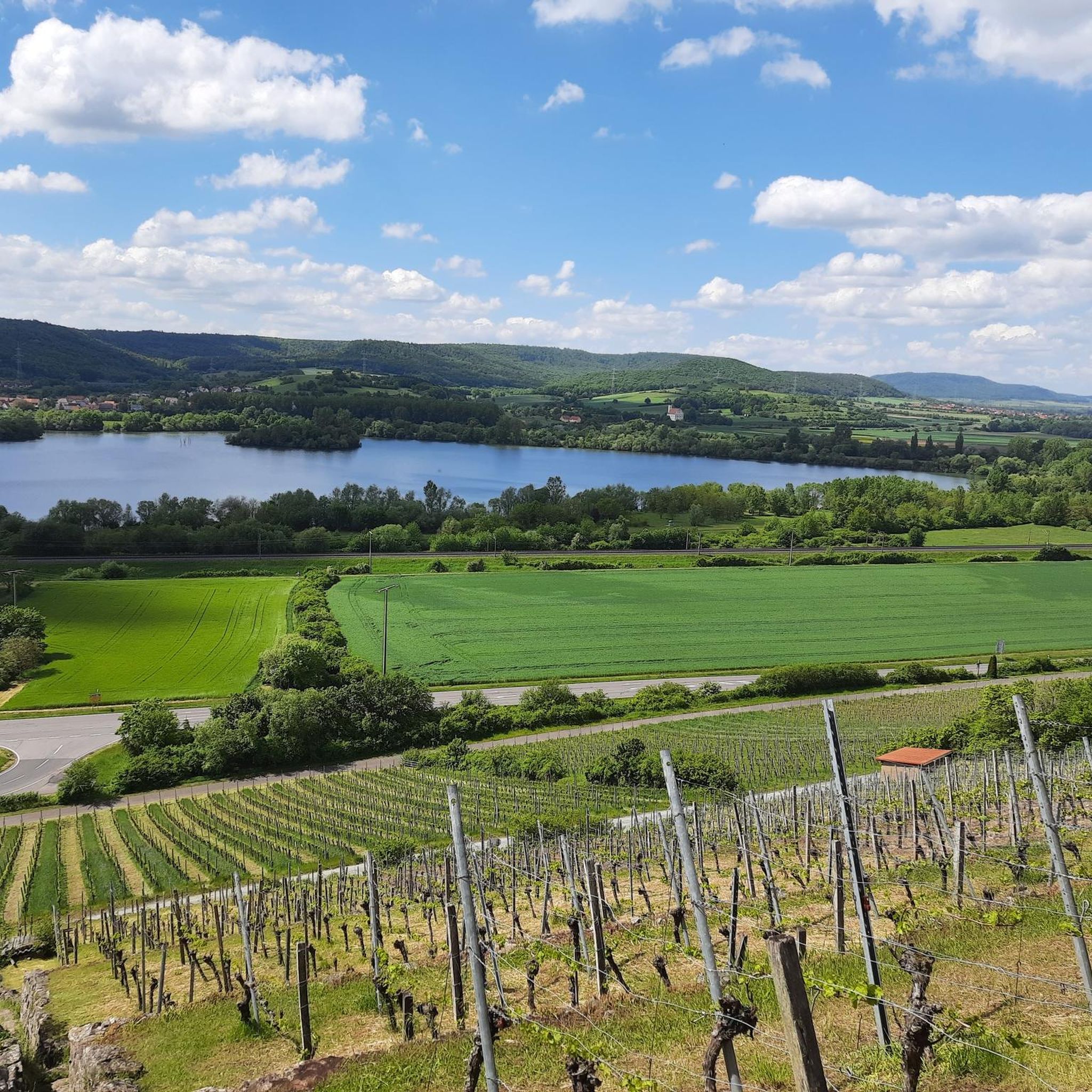
Cycling in Lsg Innerhalb Des Naturparks Hassberge (Ehemals Schutzzone)
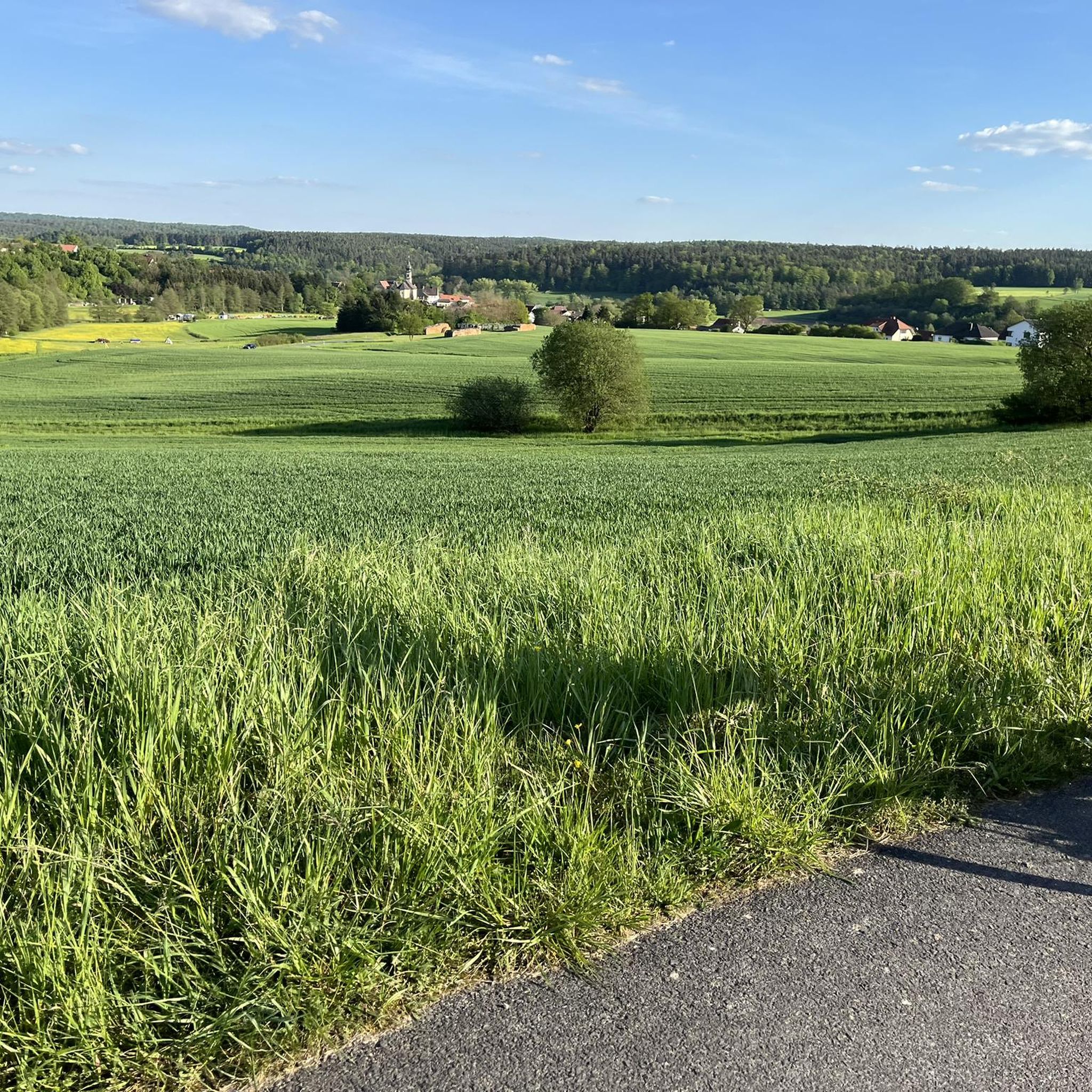
Cycling around Rauhenebrach
Other adventures in the Haßberge


Tips from the Community

Beautiful to look at, no matter from where
0
0

Beautiful setting, but appearances are deceiving! The stately estate is visibly falling into disrepair.
0
0

A bit narrow in places, but the surface is good. There are often beautiful views over the river.
9
0
Small town with well-preserved or renovated old buildings.
8
3

Königsberg originated around 1180 as a result of the construction of a castle on the "King's Vineyard" (for the castle, see: Königsberg Castle), presumably on the land of an old Frankish royal domain. However, a settlement called "Ingelhofen" already existed in the suburbs in the early Middle Ages. Königsberg was first mentioned in 1234, was granted market rights in 1333, and finally, in 1358, full city rights. Source: https://de.m.wikipedia.org/wiki/K%C3%B6nigsberg_in_Bayern
8
0
Königsberg in Bavaria is a worthwhile destination for those who want to see beautifully preserved half-timbered houses. The Königsberg Roland is considered the southernmost Roland statue in Germany. Roland statues were considered symbols of civil liberties, usually associated with corresponding rights such as market rights or their own jurisdiction.
9
0

I found a bench here. And from there, I can see the Regnitz River. Relaxation: PURE
1
0

Makes you want a glass of wine 🍷
0
0
Frequently Asked Questions
How many touring cycling routes are available in the Haßberge region?
The Haßberge region offers a wide variety of touring cycling routes. Komoot alone features over 1,400 routes, catering to different preferences and skill levels.
What is the general terrain like for touring cyclists in the Haßberge?
The Haßberge region is characterized by its diverse landscape, offering a mix of experiences. You'll find gentle, rolling hills and extensive mixed forests, as well as flatter sections along the Main and Itz rivers. This blend provides both serene, shaded environments and more undulating terrain, with developed cycle paths, roads, and gravel tracks.
What do other cyclists say about touring in the Haßberge?
The Haßberge is highly rated by the komoot community, with an average score of 4.6 stars from over 4,600 reviews. More than 24,000 touring cyclists have used komoot to explore the region, often praising the varied terrain, historic sites, and natural beauty.
When is the best time of year to go touring cycling in the Haßberge?
The Haßberge is enjoyable for touring cycling throughout the warmer months. Spring and autumn offer pleasant temperatures and beautiful scenery, with spring bringing blooming landscapes and autumn showcasing vibrant fall colors. Summer is also popular, especially for routes that offer shade through the dense forests or along riverbanks.
Are there touring cycling routes suitable for beginners or families in the Haßberge?
Yes, the Haßberge offers numerous routes suitable for beginners and families. There are over 300 easy routes available, often featuring flatter sections along rivers like the Main. An example of an easy route is the Eltmann am Main loop from Haßfurt, which covers about 33 km.
Are there challenging touring cycling routes in the Haßberge for experienced riders?
Absolutely. For experienced riders seeking a challenge, the Haßberge has over 400 difficult routes. These often involve more significant elevation changes through the rolling hills and dense forests. Routes like Wild forest – living river (51.9 km with over 500m elevation gain) or the Abbot Degen wine valley cycle route (99.8 km with over 560m elevation gain) provide a demanding and rewarding experience.
Can I find circular touring cycling routes in the Haßberge?
Yes, many touring cycling routes in the Haßberge are designed as loops, allowing you to start and end at the same point. Examples include the Main Street, Haßfurt – Mainberg Castle loop from Haßfurt or the Zeil am Main Market Square – Hofheim–Königsberg Cycle Path loop from Zeil, which are both moderate circular tours.
What historical sites and natural attractions can I see while cycling in the Haßberge?
The Haßberge is rich in both history and natural beauty. Along your rides, you can explore charming historic towns like Zeil am Main with its market square, or the Old Town of Haßfurt. The region is also known for its numerous castles and ruins, such as Eyrichshof Castle and the ruins of Königsberg Castle. For natural features, you might encounter picturesque river valleys and unique geological formations like the Rhätsandstein-Felsengarten near Altenstein Castle. Some routes also pass through scenic areas like the Böhlbach Valley.
Are there any scenic viewpoints along the touring cycling routes?
Yes, the Haßberge offers several breathtaking viewpoints. The summit of the Staffelberg provides expansive views over the entire area, and the Schwedenschanze tower also offers excellent lookout points. Many routes through the rolling hills and forests will naturally present panoramic vistas of the Franconian landscape.
Is it possible to access touring cycling routes in the Haßberge using public transport?
While specific public transport connections directly to all trailheads might vary, the Haßberge region is generally accessible by regional trains and buses. Major towns like Haßfurt and Zeil am Main have train stations, which can serve as good starting points for tours. It's advisable to check local public transport schedules and bike carriage policies for specific routes.
Are there places to eat and drink along the touring cycling routes in the Haßberge?
Yes, the Haßberge region lies at the intersection of winegrowing and beer-brewing Franconia, meaning you'll find plenty of opportunities to stop for refreshments. Charming villages and towns along the routes often have traditional inns, cafes, and restaurants where you can enjoy local culinary delights and Franconian wine or beer.
Can I find multi-day touring cycling options in the Haßberge?
Yes, the extensive network of cycle paths and the region's varied landscape make it ideal for multi-day touring. You can combine several routes or follow longer regional trails like the "Haßberge-Tour" to create a multi-day adventure, staying overnight in the charming towns and villages along the way. The View of Kloster Banz – Lower bridge loop from Rentweinsdorf, at over 111 km, is an example of a longer route that could be part of a multi-day tour.
Are there specific routes that connect the Haßberge with the nearby Steigerwald region?
Yes, the Main river forms the southern boundary of the Haßberge, connecting it to the adjacent Steigerwald Nature Park. Routes like the Main-Steigerwald-Radweg offer a way to explore both regions, providing a diverse cycling experience through different landscapes.
Most popular routes in the Haßberge
Most popular attractions in the Haßberge

Get inspired with the komoot mobile app


Didn’t find what you were looking for?
Check out more Cycling routes throughout Haßberge below and find the perfect route in your destination.
Explore more
Browse the best Cycling routes in other regions.
