The best running trails around Cereceda De La Sierra
5.0
(2)
156
runners
20
runs
Jogging around Cereceda De La Sierra offers an active way to explore this region, characterized by its location between the Yeltes and Cerezo rivers. The landscape features extensive oak forests, providing varied terrain for running. The area also includes mountainous sections and notable rock formations like the "Peña del Gato," adding to the scenic appeal for outdoor enthusiasts.
Best jogging routes around Cereceda De La Sierra
- The most popular jogging route is Laguna de San Marcos – running circular via the Camino de Las Raíces - Parque Natural de las Batuecas y Sierra de Francia, a 5.8 miles (9.3 km) moderate trail that takes 1 hour 8 minutes to complete. This route explores the natural park, offering a circular path suitable for a steady run.
- Another top favourite among local runners is Water Trail, a moderate 4.2 miles (6.7 km) path. This trail follows a scenic route, often alongside water features, providing a refreshing running experience.
- Local runners also love the Peña de Francia – trail run from the El Casarito recreational area - Batuecas Natural Park and Sierra de Francia, a 7.7 miles (12.4 km) trail leading through mountainous terrain and natural park landscapes, often completed in about 1 hour 56 minutes.
- Jogging around Cereceda De La Sierra is defined by its riverine setting, extensive oak forests, and mountainous terrain. The network offers options for different ability levels, from moderate paths to more challenging trails.
- The routes in Cereceda De La Sierra are highly rated by the komoot community with an average score of 5.0 stars from over 2 reviews. More than 130 runners have used komoot to explore Cereceda De La Sierra's varied terrain.
Last updated: July 1, 2026
22
runners
Moderate run. Good fitness required. Mostly accessible paths. Some sure footedness required.
5.0
(1)
15
runners
Hard run. Very good fitness required. Sure-footedness, sturdy shoes and alpine experience required.

Sign up for free
15
runners
6.73km
00:55
240m
240m
Jog this moderate 4.2-mile circular route through Mogarraz, Batuecas Natural Park, and Sierra de Francia, featuring art and water.
2
runners
12.4km
01:37
380m
380m
Tackle the difficult 7.7-mile Peña Carbonera y Peña Huevo jogging route in Parque Natural de las Batuecas y Sierra de Francia.
24
runners
24.5km
03:12
930m
930m
Hard run. Very good fitness required. Mostly paved surfaces. Suitable for all skill levels.
Get access to more routes and recommendations from other explorers.
Sign up for free
Already have an account?
Our route recommendations are based on thousands of hikes, rides, and runs completed by other people on komoot.
Start today with a free account
Your next adventure awaits.
Login or Signup
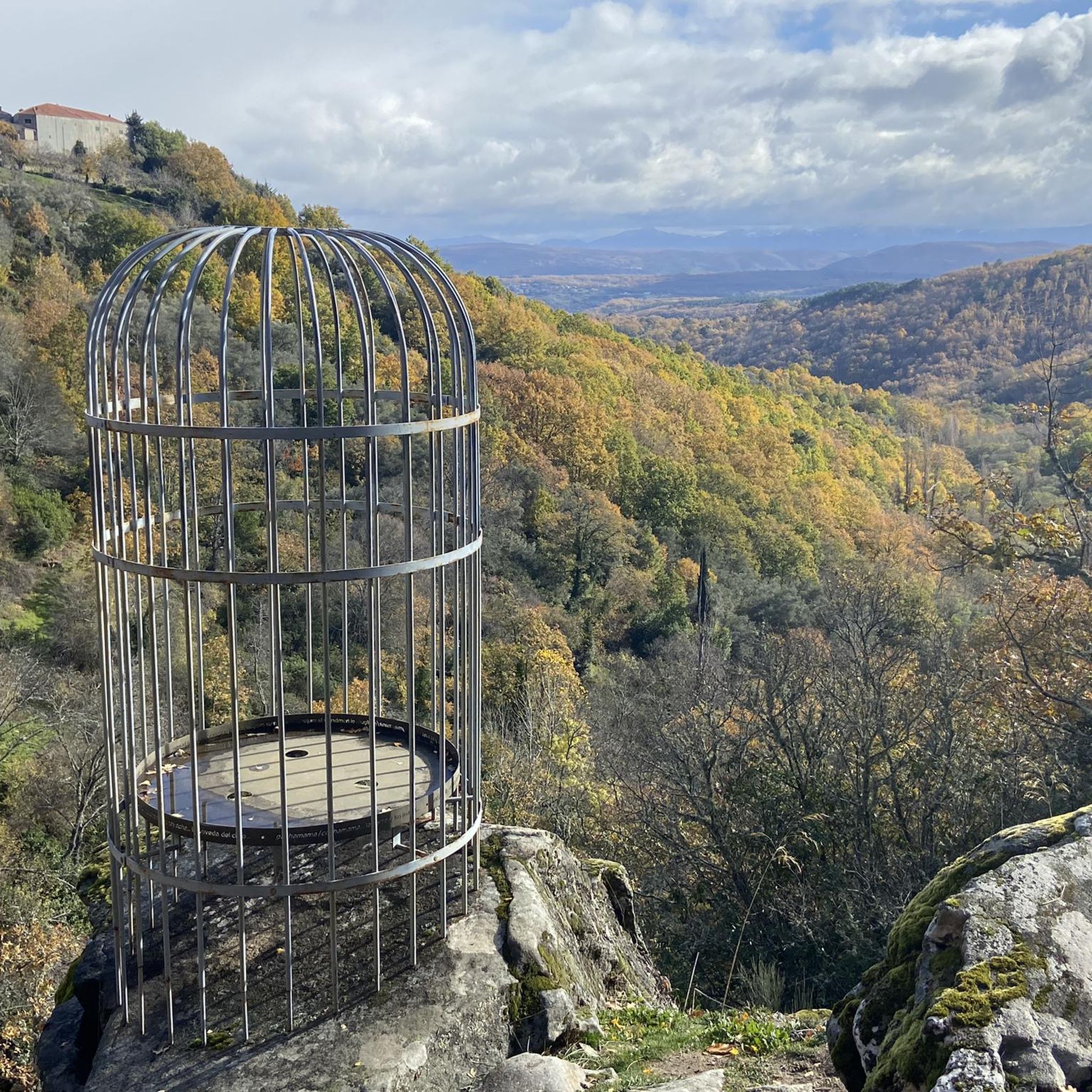
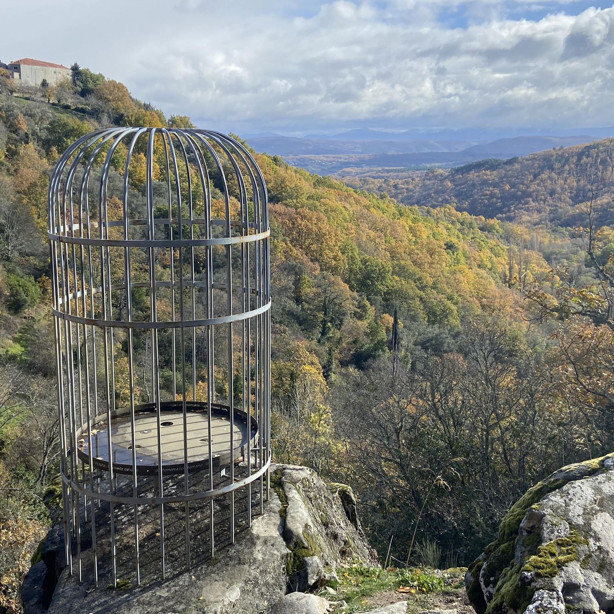
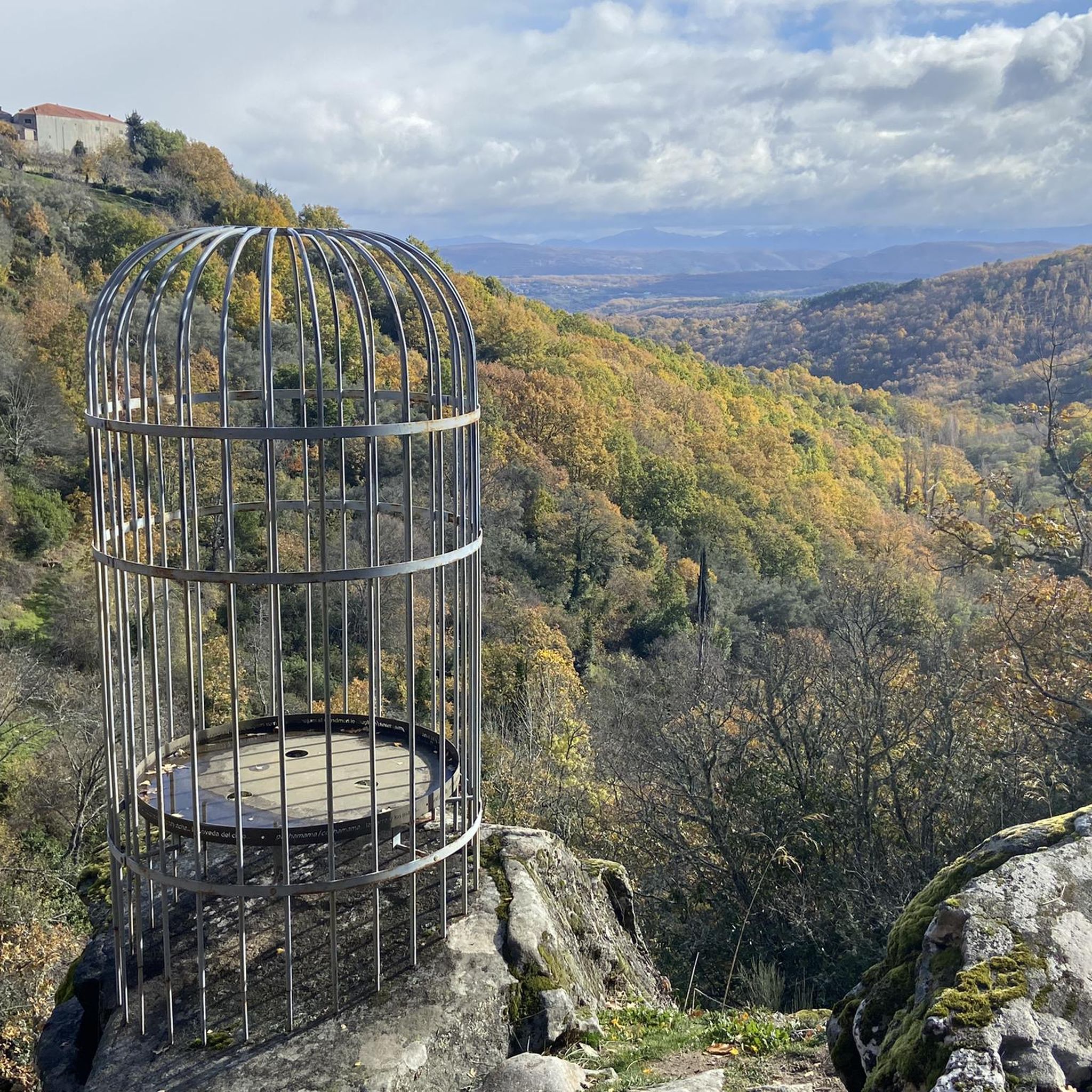
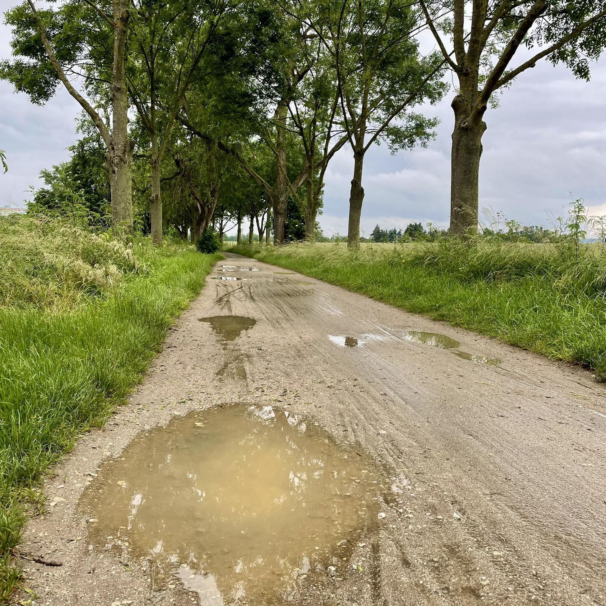
Tips from the Community

At the village's social meeting point, the Plaza Mayor with its arcades, stands a beautiful granite pilgrim's cross.
11
0
Striking about the houses are the stone support beams above the doorposts. Religious texts are engraved on them and there are dates from the 1700s and 1800s. After the reconquista, when the area was repopulated, many Jews came to live in the village. Because the church forbade the Jews to practice their religion, they had to prove that they had joined the Catholic church by engraving biblical texts above their houses.
10
0
Really such a top that stands out with over 1700 meters, offering a beautiful view all around.
12
0

What to see in Mogarraz The Faces of Mogarraz More than 800 portraits painted on the facades, the work of artist Florencio Maíllo, who transformed the village into an open-air museum. This initiative originated from photos taken in the 1960s for residents' national identity cards. Main Square The central oval-shaped square, surrounded by traditional mountain houses with timber framing and stone walls. Church of Our Lady of the Snows A Renaissance-style church, built between the 16th and 17th centuries. Bell Tower An old defensive tower, separate from the church, used as a watchtower in the Middle Ages. Ethnographic Museum – House of Crafts Exhibits traditional crafts such as embroidery, shoemaking, and goldsmithing.
2
0
Founded during the 12th-century repopulation of León by Alfonso IX, within the district of Miranda del Castañar. Declared a Historic-Artistic Site in 1998 and a member of the network of the Most Beautiful Villages of Spain. Its mountain architecture combines stone, wood, and adobe, with flower-adorned balconies and heraldic details.
2
0
It offers spectacular views over the Sierra de Francia, the Sierra de Béjar, the Campo Charro region, northern Cáceres, and even the Serra da Estrela in Portugal. You can drive up via the SA-203 road (from La Alberca or El Cabaco), although it is often closed due to snow in winter. There are also hiking trails, such as the GR-10, starting from La Alberca.
5
0
La Peña de Francia is one of the most emblematic places in the province of Salamanca, located in the Las Batuecas-Sierra de Francia Natural Park, within the municipality of El Cabaco, about 81 km from Salamanca and near La Alberca.
4
0

Declared a Historic-Artistic Site in 1998, the town of Mogarraz offers visitors a network of narrow streets and passageways dotted with coats of arms belonging to ancient lineages and even to the dreaded Inquisition, original lintels with religious engravings, crosses, and fountains. But what really catches the eye is the exhibition of portraits adorning the facades of the houses where the locals portrayed lived.
1
0
Frequently Asked Questions
How many running routes are available in Cereceda de la Sierra?
There are over 15 dedicated jogging routes around Cereceda de la Sierra, offering a variety of distances and difficulty levels to suit different preferences.
What kind of terrain can I expect on the jogging trails in Cereceda de la Sierra?
The terrain in Cereceda de la Sierra is quite varied, characterized by extensive oak forests, riverine settings between the Yeltes and Cerezo rivers, and mountainous sections. You'll find paths ranging from gentle trails through woodlands to more challenging ascents, often featuring notable rock formations like the "Peña del Gato".
Are there any easy jogging routes suitable for beginners in Cereceda de la Sierra?
While many routes are moderate to difficult, the region offers paths that can be enjoyed by beginners. For instance, the Water Trail is a moderate 4.2-mile path that provides a refreshing experience often alongside water features, making it a good option for those looking for a less strenuous run.
What do other runners appreciate about the trails in Cereceda de la Sierra?
The running routes in Cereceda de la Sierra are highly rated by the komoot community, with an average score of 5.0 stars. Runners often praise the diverse natural landscapes, the scenic beauty of the oak forests, and the varied terrain that keeps runs interesting.
Are there any circular jogging routes in Cereceda de la Sierra?
Yes, several routes offer a circular experience, allowing you to start and finish in the same location. An example is the Laguna de San Marcos – running circular via the Camino de Las Raíces, which is a moderate 5.8-mile trail exploring the natural park.
What natural landmarks or attractions can I see while running in the area?
You can encounter several natural landmarks. The prominent "Peña del Gato" rock formation is near the village's northern entrance. Some routes also pass by the San Marcos Lagoon or offer views of Cervero Peak and Peña Huevo. The broader Sierra de Francia region is known for its extensive oak forests and river valleys.
Are there any challenging trail running options for experienced runners?
Absolutely. For experienced trail runners, routes like the Peña de Francia trail run offer a significant challenge. This 7.7-mile route leads through mountainous terrain and natural park landscapes, involving considerable elevation changes.
Are there any recreational areas near the running routes?
Yes, the La Piñuela Recreational Area is a notable spot. It offers amenities like picnic areas, barbecues, water fountains, and even a swimming pool in summer, making it a great place to relax before or after your run.
What is the best time of year for jogging in Cereceda de la Sierra?
The region is beautiful year-round, but spring and autumn offer particularly pleasant conditions for jogging. In spring, you can enjoy the abundant fruit trees, especially cherry trees, in bloom. Autumn provides cooler temperatures and vibrant foliage in the oak forests. Summers can be warm, but early mornings or late evenings are still suitable, especially near water features.
Can I combine my run with exploring historical sites in Cereceda de la Sierra?
Yes, jogging through the village itself allows you to appreciate its rich history and traditional architecture. You can see the Romanesque Church of Nuestra Señora del Rosario and the ancient Roman bridge known as "Puente Cantería," offering a cultural dimension to your outdoor activity.
Are there any routes that offer views of the Peña de Francia?
Yes, several routes provide stunning views of the Peña de Francia. The Peña de Francia trail run specifically leads through this area, offering panoramic vistas of the natural park and mountainous landscapes.
What are the typical distances of the running routes in Cereceda de la Sierra?
The routes vary significantly in length. You can find shorter, moderate paths around 4 to 6 miles, such as the Water Trail at 4.2 miles. For longer runs, there are options exceeding 7 miles, like the Peña Carbonera and Peña del Huevo Trail, which is about 7.7 miles.
Most popular attractions around Cereceda De La Sierra

Get inspired with the komoot mobile app


Explore more
Browse the best Running Trails & Routes in other regions.
