The best running trails around Muíños
17
runners
5
runs
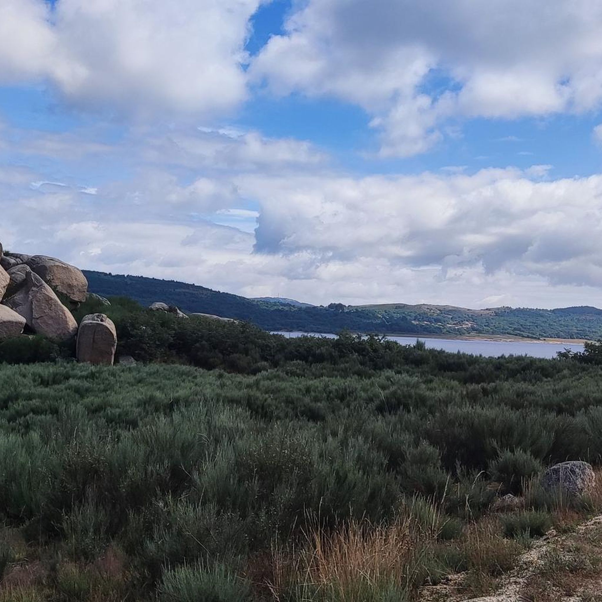
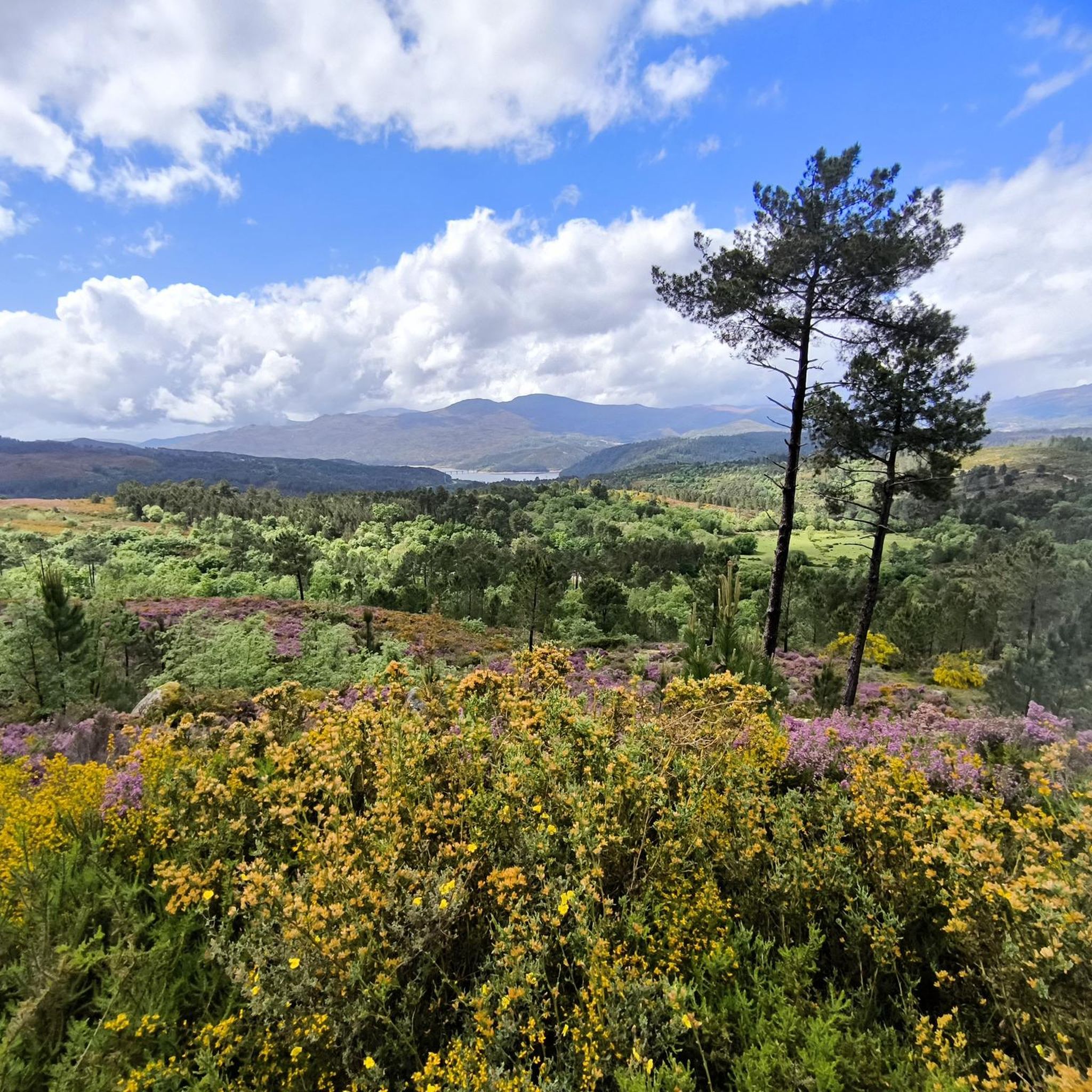
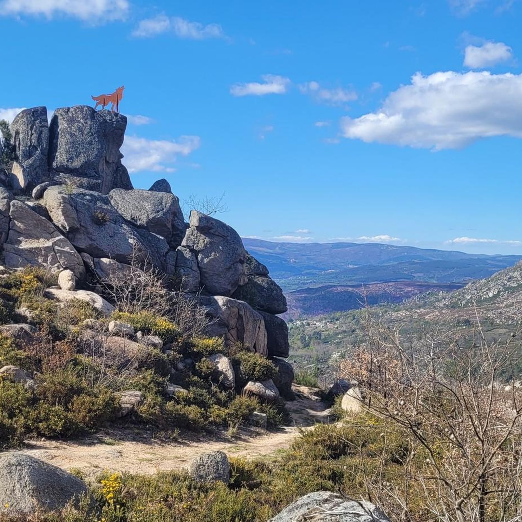
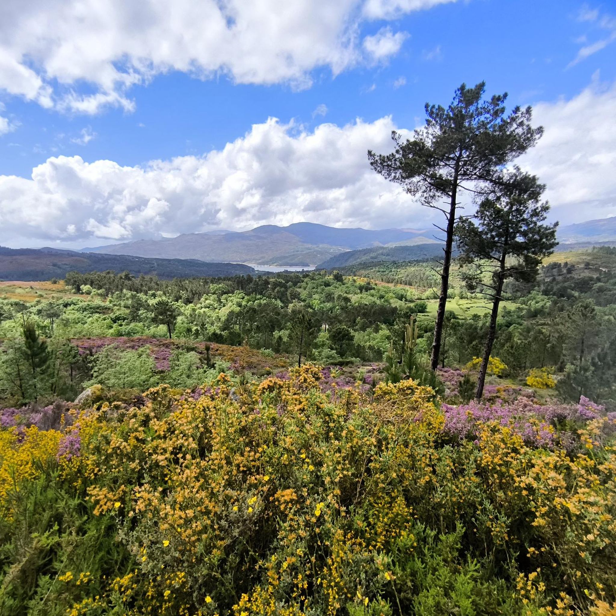
Jogging around Muíños offers diverse landscapes within the Baixa Limia-Serra do Xurés Natural Park, a transboundary Biosphere Reserve. The region features mountainous terrain, river valleys, and the expansive As Conchas reservoir, providing varied running surfaces. Routes often traverse forests, follow riverbanks, and lead to scenic viewpoints. This area combines natural beauty with historical and archaeological interest, making it suitable for active exploration.
Best jogging routes around Muíños
- The most popular jogging route is Alto de Amoreira via the Mines of…
Last updated: June 27, 2026
1
runners
19.2km
02:47
820m
820m
Hard run. Very good fitness required. Sure-footedness, sturdy shoes and alpine experience required.
8
runners
8.05km
00:59
140m
140m
Moderate run. Good fitness required. Mostly paved surfaces. Suitable for all skill levels.

Sign up for free
2
runners
12.8km
01:23
160m
160m
Moderate run. Good fitness required. Mostly paved surfaces. Suitable for all skill levels.
2
runners
13.2km
01:27
210m
210m
Moderate run. Good fitness required. Mostly paved surfaces. Suitable for all skill levels.
4
runners
6.06km
00:44
60m
60m
Moderate run. Good fitness required. Mostly paved surfaces. Suitable for all skill levels.
Our route recommendations are based on thousands of hikes, rides, and runs completed by other people on komoot.
Start today with a free account
Your next adventure awaits.
Login or Signup
Tips from the Community

An excellent place to end the tour, as we can always get a hot shower.
0
0

There is a beautiful landscape nearby to enjoy.
0
0

Hello, I would like to do this trail but I would like to know if you make stops among the points where you took photos and to know how many minutes you stayed at the points. Thank you for your feedback 😊
0
0

Known for their hot waters and therapeutic properties, the waters emerge at a temperature of around 77ºC, although the thermal pools are regulated to offer bathing at more comfortable temperatures, around 40ºC. These hot springs are rich in minerals such as sodium, calcium and bicarbonate, and are believed to help in the treatment of rheumatic and skin conditions.
0
0
It has a burial chamber with approximate dimensions of 3.5 metres long, 2 metres wide and a height of up to 2 metres. The stones that form it, known as orthostats, can reach an estimated weight of between 500 and 1,500 kilograms each, depending on their size and thickness. These large granite slabs, typical of dolmens, were carefully placed by Neolithic communities as collective funerary monuments, reflecting the effort and ritual importance of the place.
1
0
Dating back to the Neolithic period (approximately between 4,000 and 3,000 BC), this dolmen, made up of large stone slabs arranged vertically and covered by a top slab, served as a collective tomb. It is one of the most representative examples of prehistoric funerary architecture in the region.
1
0

Ruin of the archaeological site of the Roman villa next to the Caldo river. The path also leads to the Caldo River waterfall. The vila is part of a network of Roman vilas that reach as far as Braga in Portugal
1
0
Hot springs on the banks of the Caldo River. The experience dates back to the time of the Romans who settled here along the trade routes to and from Portugal. Great place to rest, bring your bathing suit
2
0
Frequently Asked Questions
What types of terrain can I expect on the running trails in Muíños?
Jogging routes in Muíños offer a diverse range of terrain, from mountainous ascents in areas like the Serra do Xurés to more gentle paths alongside rivers and the expansive As Conchas reservoir. You'll find trails traversing forests, riverbanks, and leading to scenic viewpoints, providing varied surfaces for your run.
Are there any easy or beginner-friendly running routes in Muíños?
While most routes in Muíños are moderate, there are options suitable for beginners. For a relatively flat and scenic run, consider the Río Caldo Hot Springs loop from Os Baños, which follows the Limia river. Another good option for a shorter, moderate run is the Running loop from Vilameá.
Can I find circular jogging routes in Muíños?
Yes, many of the running routes in Muíños are designed as loops, offering a convenient way to explore the area without retracing your steps. Examples include the Río Caldo Hot Springs loop from Os Baños and the Dolmen Casota do Foxo – Dolmen of Casola do Foxo loop from As Maus.
What historical or archaeological sites can I see while running in Muíños?
Muíños is rich in history. You can run along sections of the ancient Roman road, Via Nova, or explore the Aquis Querquennis Roman Camp by the Limia river. The landscape also features prehistoric megalithic monuments like the Dolmen Casota do Foxo, which you can encounter on specific running loops.
Are there any natural features or viewpoints along the running trails?
Absolutely. The region is part of a Biosphere Reserve, offering stunning natural beauty. You can enjoy routes that lead to impressive viewpoints such as the Mirador Val do Limia. The Alto de Amoreira via the Mines of the Shadows – Serra do Xurés route, for instance, provides expansive views across the mountainous landscape. You'll also find the scenic As Conchas reservoir and the Limia and Salas rivers.
Can I combine my run with a visit to hot springs?
Yes, Muíños is known for its natural hot springs. The Río Caldo Hot Springs loop from Os Baños is a moderate running path that passes directly by these natural thermal waters, which can reach up to 50 degrees Celsius, offering a unique way to relax after your run. You can also visit the Río Caldo Hot Springs highlight directly.
What is the best time of year for running in Muíños?
The Baixa Limia-Serra do Xurés Natural Park offers a pleasant environment for running for much of the year. Spring and autumn generally provide the most comfortable temperatures for outdoor activities. While the region is beautiful year-round, summer can be warm, and winter might bring cooler, wetter conditions, especially in higher elevations.
Are there any running routes that are particularly challenging?
For experienced runners seeking a challenge, the Alto de Amoreira via the Mines of the Shadows – Serra do Xurés is a difficult 19.2 km trail with significant elevation gain, ascending through the Serra do Xurés and rewarding runners with expansive views.
What do other runners enjoy most about jogging in Muíños?
Runners often praise the diverse landscapes, which combine mountainous terrain with serene river valleys and the large As Conchas reservoir. The blend of natural beauty with fascinating historical and archaeological sites, such as Roman camps and megalithic monuments, also makes for a unique and enriching running experience.
Are there any waterfalls near the running trails in Muíños?
While not directly on the main jogging routes listed, the wider Muíños area, particularly within the Baixa Limia-Serra do Xurés Natural Park, features several beautiful waterfalls. Notable ones include the Pitões das Júnias Waterfall and the Corgo da Fecha Waterfall, which can be explored as separate excursions.
How many running routes are available in the Muíños area?
Komoot features a selection of top running routes in Muíños, with a total of 5 detailed tours. However, the region boasts an extensive network of over 200 kilometers of marked trails, many of which are suitable for jogging, offering a wide variety of options for all levels.
Most popular attractions around Muíños

Get inspired with the komoot mobile app


Explore more
Browse the best Running Trails & Routes in other regions.
