The best walks and hikes around Chía
4.5
(616)
5,663
hikers
181
hikes
Hiking around Chía offers access to varied landscapes within the Cundinamarca department, characterized by its Andean region and the Eastern Cordillera. The area features prominent natural features such as the Western Hill of Chía, including Cerro de Lourdes, and the Parque Natural Montaña del Oso with its cloud forests and sub-páramo ecosystems. Elevations around 2,564 meters (8,412 feet) contribute to a diverse terrain of mountains and hills suitable for outdoor activities.
Best hiking trails around Chía
- The most popular hiking route is Castejón de Sos – Sesué Village loop from Castejón de Sos, a 6.9 miles (11.1 km) trail that takes 3 hours 32 minutes to complete. This route offers views of the surrounding Andean foothills.
- Another top favourite among local hikers is Congosto de Ventamillo – Gabás - El Run Green Tunnel loop from Castejón de Sos, a moderate 9.1 miles (14.7 km) path. It traverses diverse landscapes, including forested areas and open terrain.
- Local hikers also love the Castejón de Sos – Waterfall of the Barranco de Liri loop from Castejón de Sos, a 4.8 miles (7.8 km) trail leading through natural valleys, often completed in about 2 hours 32 minutes.
- Hiking around Chía is defined by its Western Hill, cloud forests, and Andean mountain ranges. The network offers options for different ability levels, from moderate paths to more challenging ascents.
- The routes in Chía are highly rated by the komoot community with an average score of 4.5 stars from more than 600 reviews. More than 5,000 hikers have used komoot to explore Chía's varied terrain.
Last updated: May 23, 2026
4.4
(8)
37
hikers
11.1km
03:32
430m
430m
Moderate hike. Good fitness required. Easily-accessible paths. Suitable for all skill levels.
5.0
(2)
42
hikers
Moderate hike. Good fitness required. Easily-accessible paths. Suitable for all skill levels.

Sign up for free
4.0
(4)
35
hikers
Moderate hike. Good fitness required. Easily-accessible paths. Suitable for all skill levels.
3.7
(3)
20
hikers
8.40km
02:32
260m
260m
Moderate hike. Good fitness required. Easily-accessible paths. Suitable for all skill levels.
5.0
(1)
24
hikers
12.2km
03:16
140m
140m
Moderate hike. Good fitness required. Easily-accessible paths. Suitable for all skill levels.
Get access to more routes and recommendations from other explorers.
Sign up for free
Already have an account?
Our route recommendations are based on thousands of hikes, rides, and runs completed by other people on komoot.
Start today with a free account
Your next adventure awaits.
Login or Signup
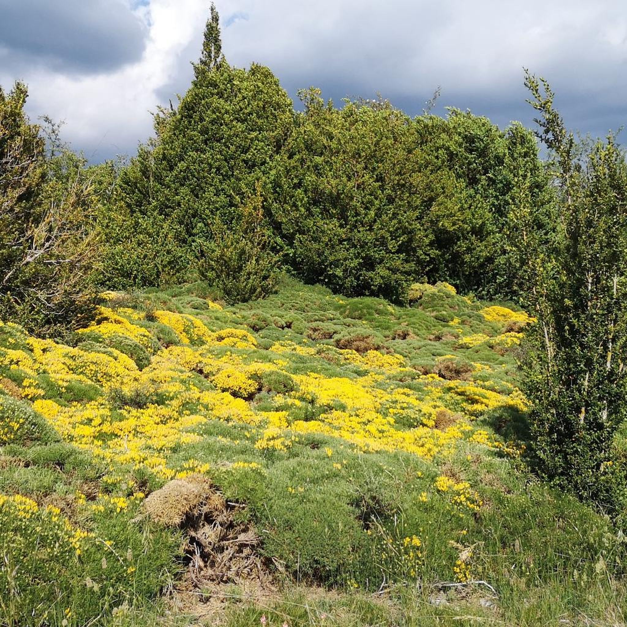
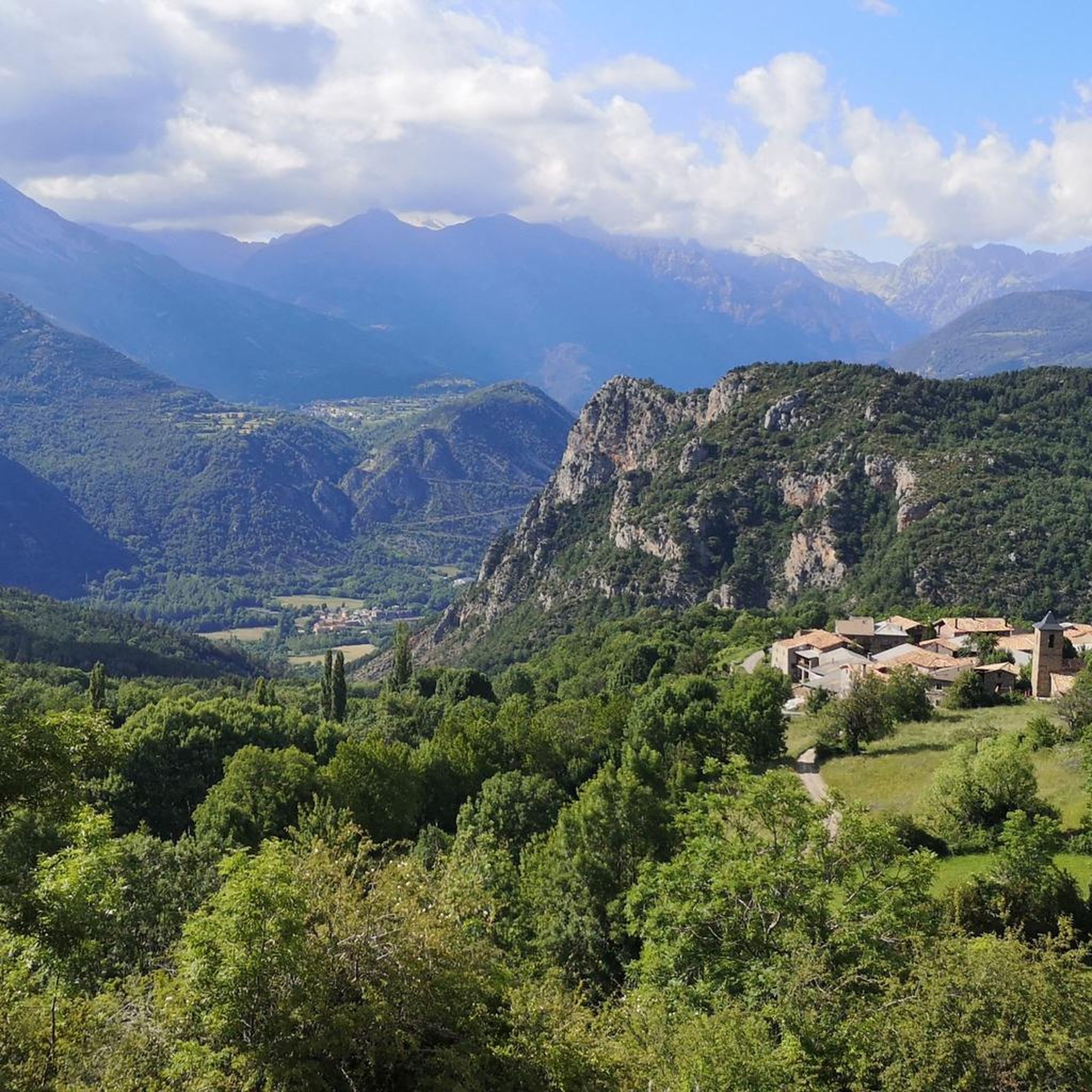
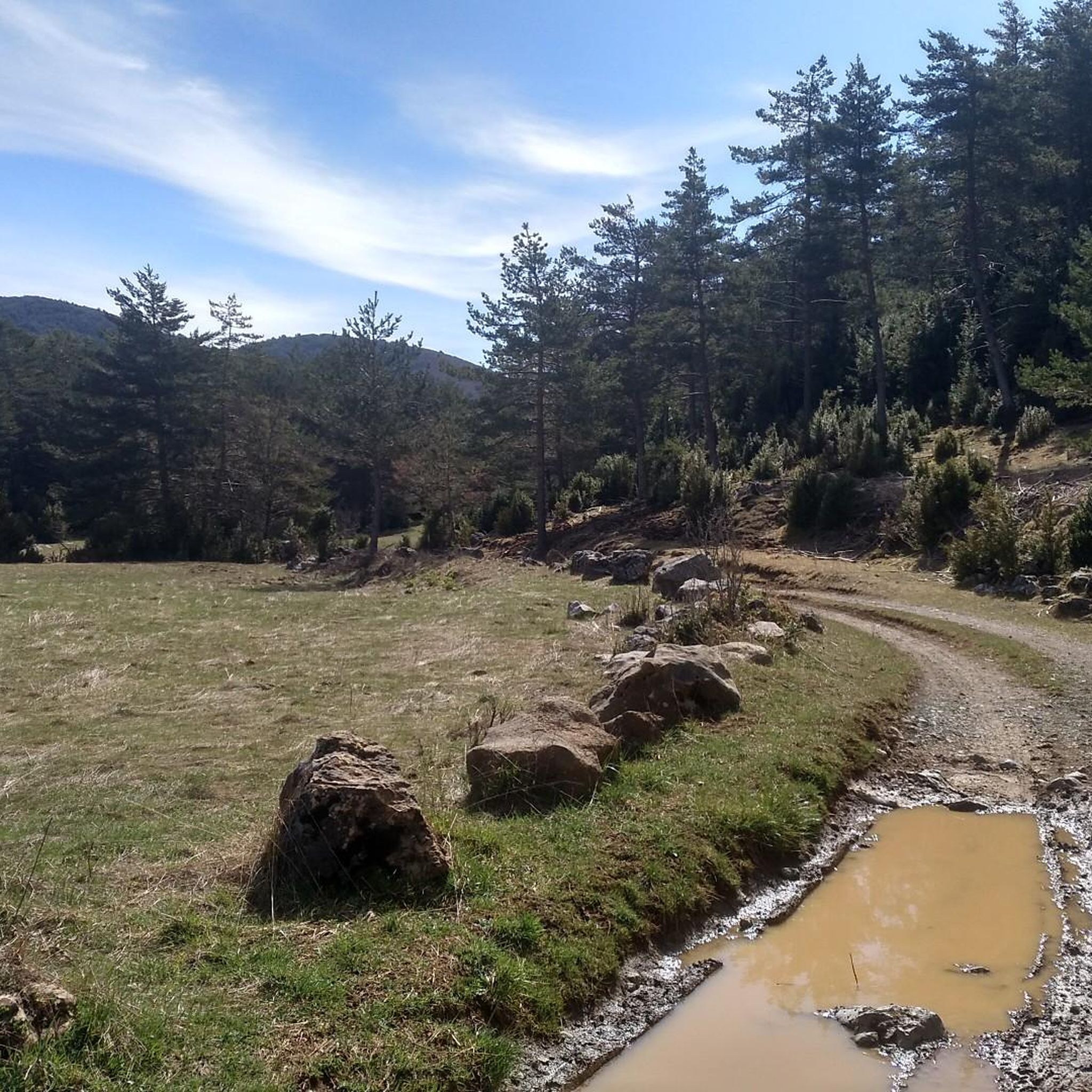
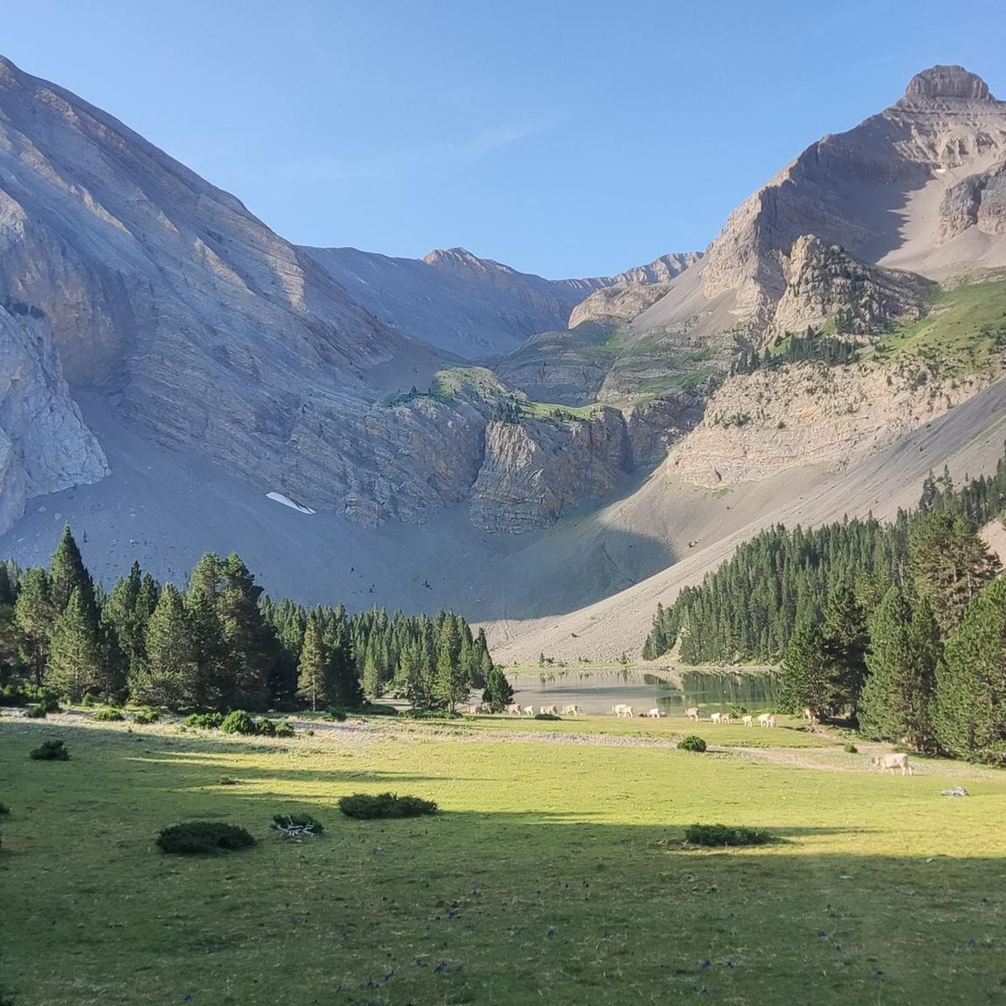

Tips from the Community

The transformation of Sesué throughout the 20th century has brought modernity to a town that is the current center of the municipality and the focus of tourism for its offer. The parish church shows the richness of its history. A work from the 12th century, in Lombard Romanesque style, it maintains a nave culminating in a semicircular apse. The hermitage of San Saturnino and San Pedro have also been remodeled although they maintain the charm of their medieval origin.
0
0

The Ventamillo Gorge is a beautiful and imposing ravine traced by the Ésera River. 40,000 years ago, the gigantic glacier of the same name was located here; the melting and erosion of the limestone rock outlined the magnificent landscape seen today.
1
0
Castejón de Sos is a fairly large Ribagorza municipality, compared to the small population centers that exist in the surroundings. It has hotels, supermarkets, restaurants and a pharmacy. It is very close to the Ventamillo Gorge, an imposing canyon crossed by the Ésera River.
1
0
Gabás is one of those towns that literally have two streets. Its stone houses give it a magical aura, as well as the beautiful natural environment that surrounds it. It belongs to Bisaurri, in the province of Ribagorza.
2
0

By a short path from the road you can easily reach one of the main waterfalls of the Barranco de Liri, also known as Barranco de las Doce Cascadas.
1
0
Entrance town to the Benasque Valley, with a supermarket and several bars where you can stop. It is a place of reference for the practice of paragliding.
0
0

Path that is part of the one known as INTEGRAL GALLINERO, but skipping the last part that goes from Bisaurri to Castejón. It is one of the most beautiful trial descents that can be done in the entire Pyrenees. The ascent is hard since you do the entire unevenness of the route in one go and you have to take it easy, but all the descent more than compensates for the effort of the ascent.
0
0
Castejón de Sos is a beautiful Spanish municipality in Ribagorza, in the province of Huesca, Aragón. Access to the municipality is through the Ventamillo gorge, the limit of the glacier, which formed the Benasque valley.
1
0
Frequently Asked Questions
How many hiking trails are available in Chía?
Chía offers a wide variety of hiking experiences, with over 160 routes available on komoot. These range from easy strolls to more challenging ascents, catering to different fitness levels and preferences.
Are there easy hiking trails suitable for beginners in Chía?
Yes, Chía has several easy trails perfect for beginners. There are 31 routes classified as easy, allowing you to enjoy the natural beauty without extensive effort. These paths often provide gentle inclines and well-maintained surfaces.
What kind of landscapes can I expect to see while hiking in Chía?
Hiking in Chía offers diverse landscapes, from the prominent Western Hill of Chía, including Cerro de Lourdes, to the cloud forests and sub-páramo ecosystems of Parque Natural Montaña del Oso. You'll encounter Andean mountain ranges, hills, and varied vegetation, with elevations around 2,564 meters (8,412 feet) above sea level.
Are there any trails with significant viewpoints in Chía?
Absolutely. The Western Hill of Chía, particularly the Cerro de Lourdes area, offers breathtaking views of the municipality. The Lourdes Viewpoint and the Chapel of Our Lady of Valvanera provide panoramic vistas, making them excellent spots for scenic appreciation.
What are some notable natural features or attractions to look out for on hikes in Chía?
Hikers can explore the diverse ecosystems of Parque Natural Montaña del Oso, known for its cloud forests and sub-páramo. The distinctive Pico de Águila offers a unique mountain silhouette, and the Chapel of Our Lady of Valvanera on Cerro de la Cruz is a historical landmark with great views.
Can I find circular hiking routes in Chía?
Many routes in Chía are designed as loops, allowing you to start and end at the same point. While specific named circular routes are not detailed here, the varied terrain and network of paths often allow for creating or finding circular options.
What do other hikers enjoy most about hiking in Chía?
The komoot community highly rates hiking in Chía, with an average score of 4.5 stars from over 600 reviews. Hikers often praise the varied terrain, from moderate paths to more challenging ascents, and the opportunity to explore the region's natural beauty.
Are there any historical or cultural landmarks accessible via hiking trails in Chía?
Yes, the Chapel of Our Lady of Valvanera, a colonial church with historical and religious significance, is situated on the western hill. It can be reached via a pedestrian path or by ascending nearly 200 stairs, offering both a cultural experience and panoramic views.
What is the climate like for hiking in Chía?
Chía generally experiences a temperate climate due to its elevation of around 2,564 meters (8,412 feet) above sea level. This makes it suitable for hiking year-round, though conditions can vary, so it's always good to check the local forecast.
Are there opportunities for birdwatching during hikes in Chía?
The diverse ecosystems in Chía, particularly areas like the Western Hill and Parque Natural Montaña del Oso, provide excellent opportunities for birdwatching. Hikers often spot various species, including hummingbirds, in these natural habitats.
What types of wildlife might I encounter in Chía's natural parks?
In natural parks like Parque Natural Montaña del Oso, you might encounter diverse wildlife. The area is ideal for monitoring local fauna, including various mammals, reptiles, and amphibians, within its cloud forests and sub-páramo ecosystems.
Most popular attractions around Chía

Get inspired with the komoot mobile app


Explore more
Browse the best Hikes in other regions.
