The best road cycling routes around O Bolo
5.0
(2)
470
riders
19
rides
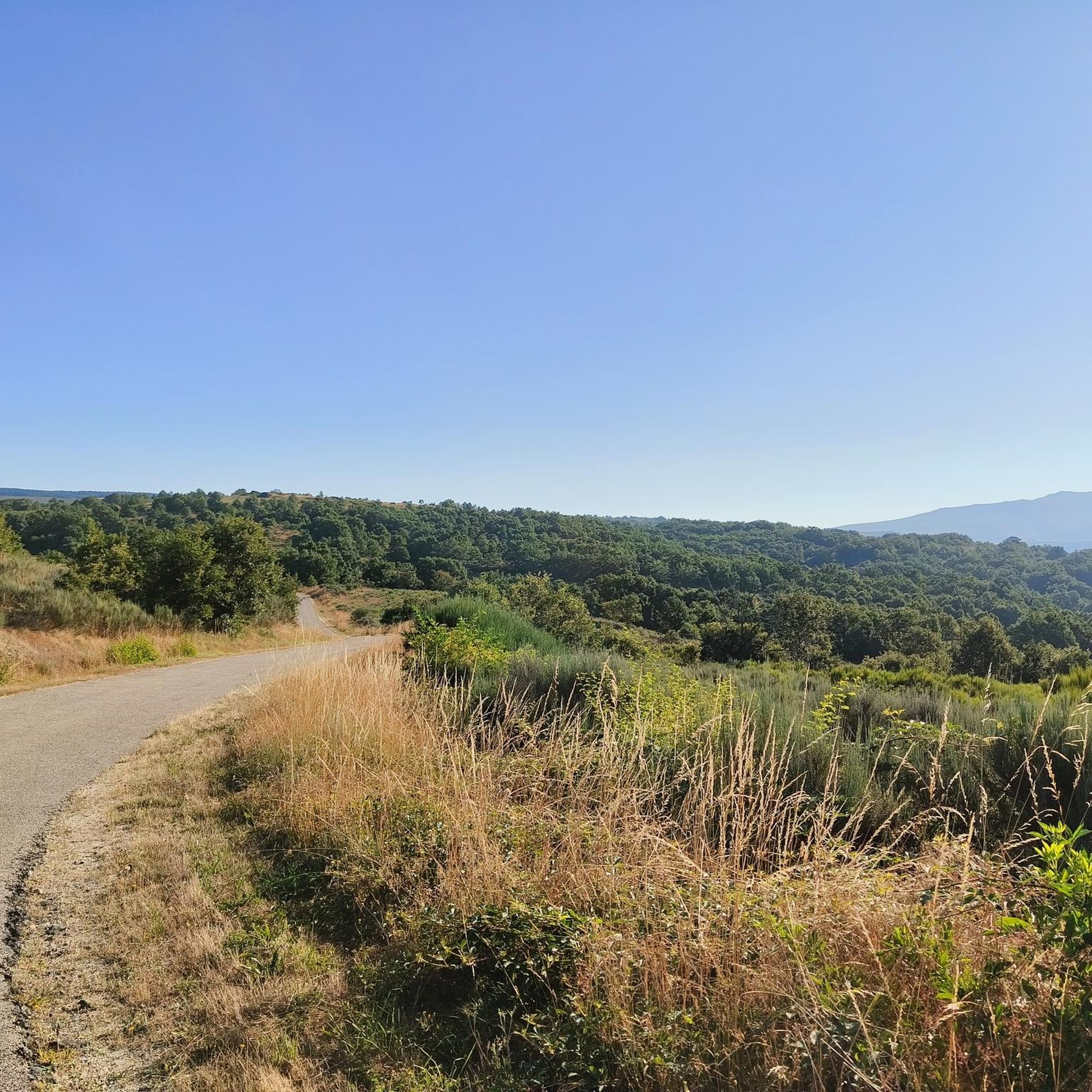
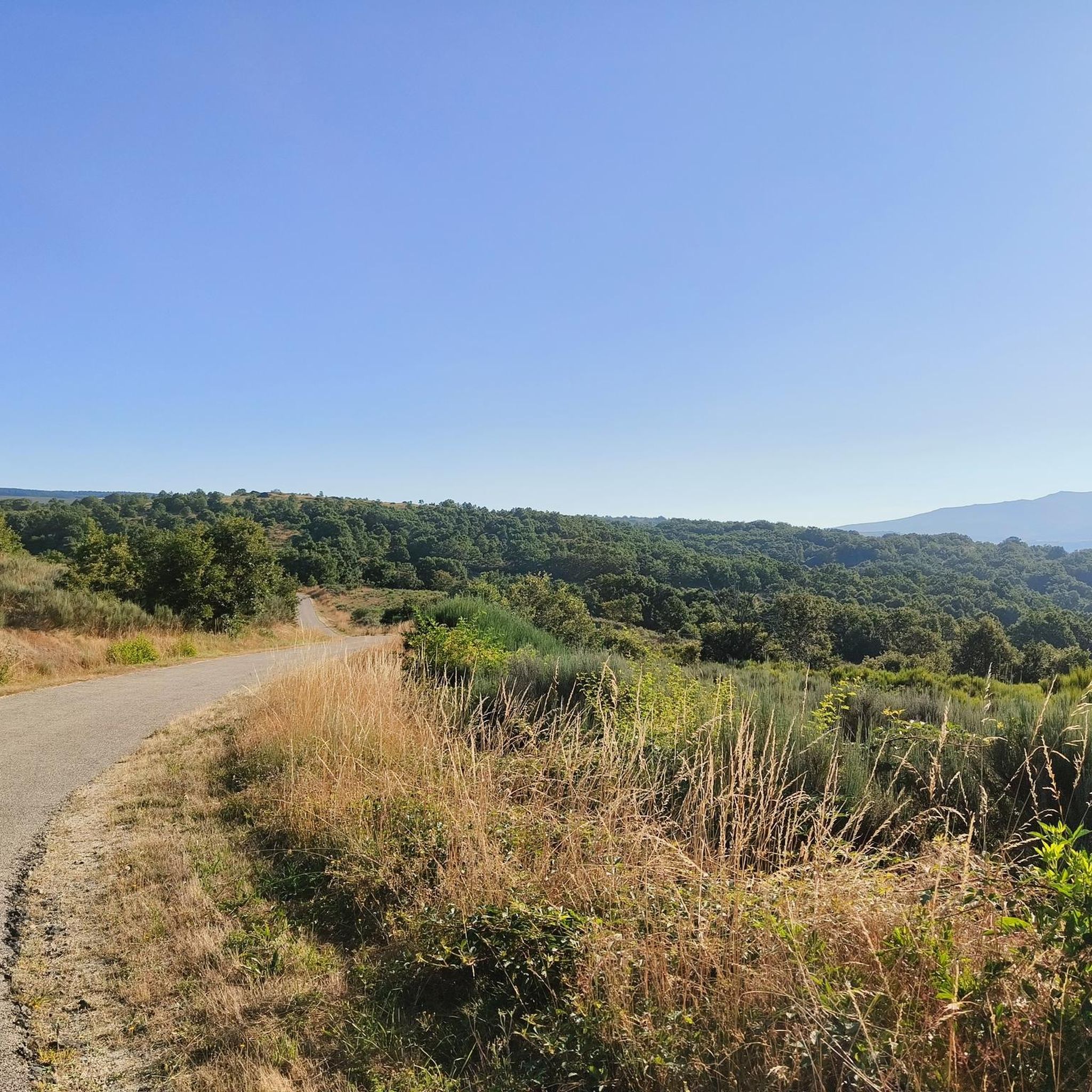
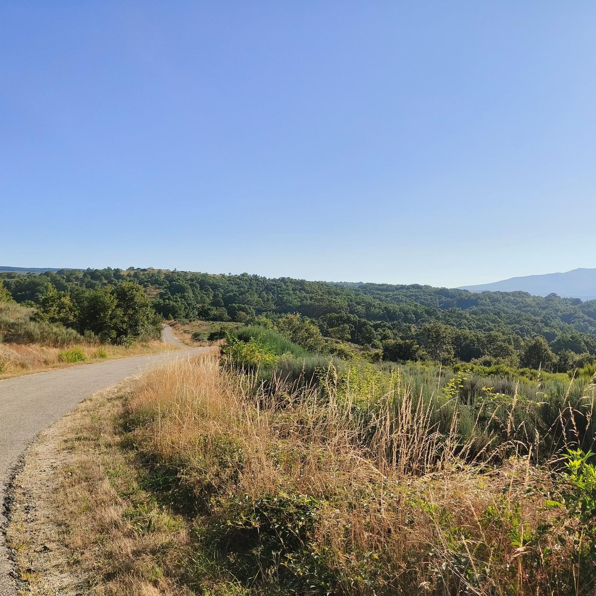
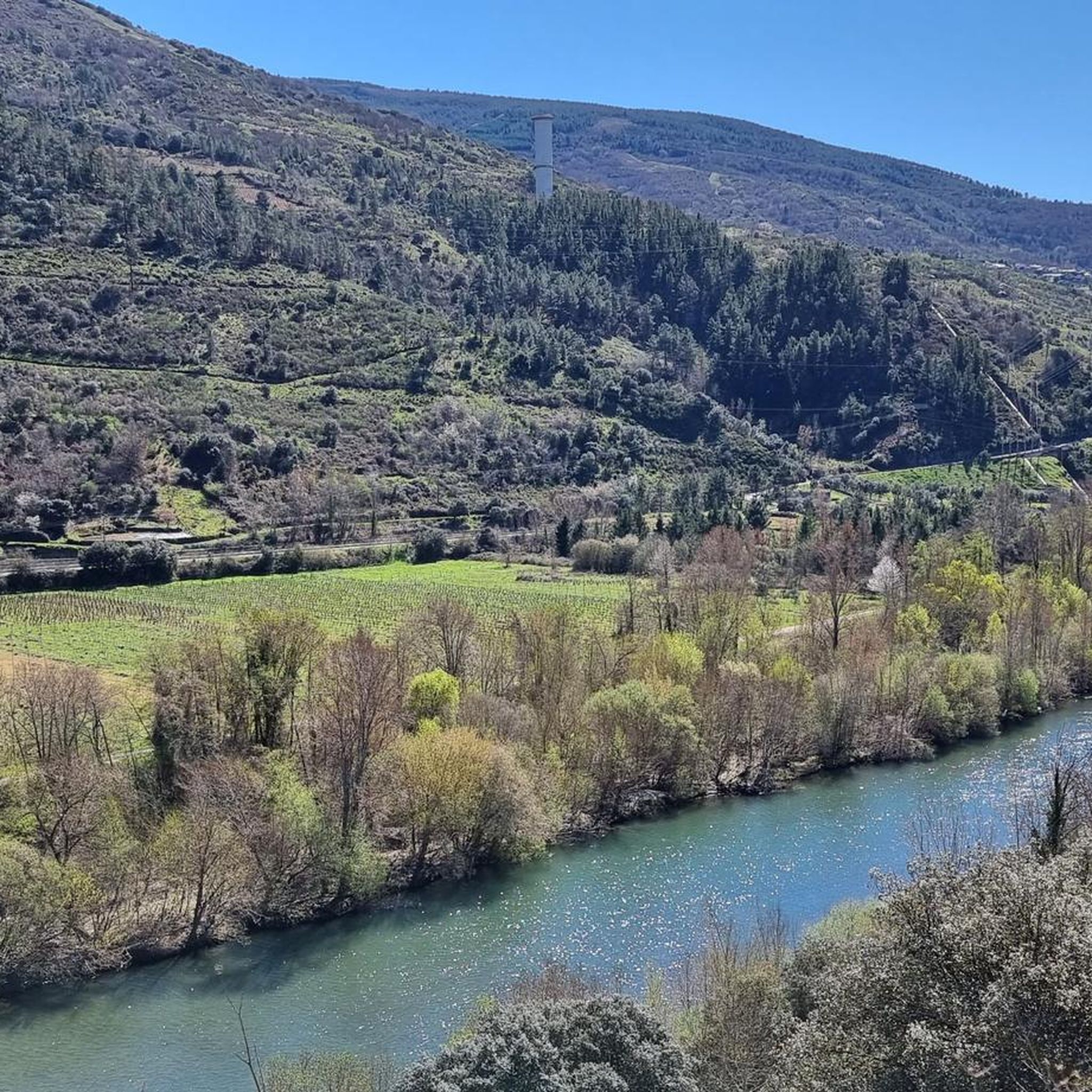
Road cycling routes around O Bolo are characterized by mountainous terrain and deeply incised river valleys, such as the Xares River. This topography creates a diverse environment featuring extensive vineyards cultivated on terraces, alongside natural forests of chestnut, oak, and cork oak trees. The region offers challenging climbs and scenic routes, with panoramic viewpoints providing vistas of the surrounding landscape.
Best road cycling routes around O Bolo
- The most popular road cycling route is Cabeza de Manzaneda Loop from A…
Last updated: October 29, 2026
26
riders
54.5km
03:31
1,510m
1,500m
Hard road ride. Very good fitness required. Mostly well-paved surfaces and easy to ride.
1
riders
78.2km
05:21
1,740m
1,740m
Hard road ride. Very good fitness required. Some segments of this route may be unpaved and difficult to ride.

37
riders
Moderate road ride. Good fitness required. Mostly well-paved surfaces and easy to ride.
42
riders
Hard road ride. Very good fitness required. Mostly well-paved surfaces and easy to ride.
25
riders
Hard road ride. Very good fitness required. Mostly well-paved surfaces and easy to ride.
Get access to more routes and recommendations from other explorers.
Already have an account?
Our route recommendations are based on thousands of hikes, rides, and runs completed by other people on komoot.
Start today with a free account
Your next adventure awaits.
Tips from the Community

A highlight along the way. The path doesn't actually lead over the bridge. But you should take it with you
5
0

The Burbia river is located in the Leonese region of El Bierzo. It begins at an altitude of 1,000 meters above sea level and is one of the tributaries of the Sil River. It became famous for the Battle of the Burbia River in the year 791 between the Kingdom of Asturias and the Emirate of Córdoba.
2
0
The Peñarrubia Reservoir contains the waters of the Sil River. It is located on the border between León and Galicia, next to the N-536 National Highway, which runs between Ourense and Ponferrada.
0
0
The Pumares Reservoir contains the waters of the Sil River. The reservoir is located on the border between León and Galicia next to the N-536 National Highway that runs between Ourense and Ponferrada.
1
0
Puente de Domingo Flórez is a small town on the border between Galicia and León where the Cabreira River flows into the mighty Sil River.
1
0
Cycling along the N-536 national road, you can glimpse the defensive wall of the medieval castle of Cornatel and its towers on top of the hills.
1
1
Lago de Carucedo is a small town near the border of Galicia and León with a lake of the same name at the foot of the Sierra de Enciña de Lastra
1
0
A Pobra de Trives is a small regional town located at the foot of the mountain and access to the Manzaneda sky station. It is a great place to stop for lunch whether you go down to the Bibei river or go up to Manzaneda.
2
0
Frequently Asked Questions
How many road cycling routes are available around O Bolo?
There are 15 road cycling routes available around O Bolo, offering a diverse range of experiences from moderate rides to challenging climbs through mountainous terrain and vineyard-covered hills.
What kind of terrain and difficulty can I expect on road cycling routes in O Bolo?
Road cycling in O Bolo is characterized by mountainous terrain, deeply incised river valleys, and extensive vineyards. You can expect challenging climbs and scenic routes. The area offers a mix of difficulties, with 1 easy route, 6 moderate routes, and 8 difficult routes, ensuring options for various skill levels.
Are there scenic viewpoints or landmarks to discover along the road cycling routes in O Bolo?
Yes, O Bolo offers numerous scenic viewpoints and historical landmarks. You can enjoy breathtaking vistas from panoramic viewpoints like Mirador de Salesa, Mirador de A Fraga, and Mirador de Santa Cruz de O Bolo. Notable attractions include the O Bañadoiro Suspension Bridge, the Church of Our Lady of Fátima and Fontei Cross, and the Church of San Miguel de Montefurado.
What is the best time of year for road cycling in O Bolo?
Ourense province, where O Bolo is located, benefits from a mild climate, making it suitable for road cycling almost year-round. Spring and autumn generally offer the most pleasant temperatures for longer rides, while summer can also be enjoyable, especially in the mornings or late afternoons.
Are there any family-friendly road cycling routes in O Bolo?
While many routes in O Bolo feature significant elevation gain, there is at least one easy road cycling route available. For families, it's advisable to check the route details for elevation and distance to ensure it matches the group's ability. The region's quiet country roads can be suitable for less experienced cyclists.
What do other road cyclists enjoy most about cycling in O Bolo?
The road cycling routes in O Bolo are highly rated by the komoot community, with an average score of 5.0 stars from over 5 reviews. Cyclists often praise the challenging climbs, the stunning natural beauty of the mountainous terrain, and the picturesque vineyards that define the region's landscape.
Are there any loop road cycling routes in O Bolo?
Yes, several loop routes are available. For example, the Cabeza de Manzaneda Loop from A Pobra de Trives is a difficult 33.9-mile (54.5 km) route with over 4,900 feet (1,500 m) of elevation gain. Another option is the Chaira das Lamas Viewpoint – A Pobra de Trives Town Center loop from O Barrio dos Xitanos, a 31.4-mile (50.5 km) trail.
Where can I find parking for road cycling routes in O Bolo?
While specific parking areas for each route are not detailed, O Bolo is a municipality with various towns and villages. You can typically find parking in town centers or near popular starting points for routes. It's recommended to check the specific route details on komoot for suggested starting locations, which often have nearby parking facilities.
Are there long-distance road cycling routes near O Bolo?
O Bolo is situated in a region known for its extensive cycling opportunities. Routes like Peña Trebivca Return, at 48.6 miles (78.2 km) with significant elevation, offer a demanding long-distance experience. The wider Ourense province is recognized for its breathtaking road cycling routes, providing ample options for longer rides.
Can I find cafes or places to rest along the road cycling routes?
The routes in O Bolo often pass through or near small towns and villages where you can find local cafes or establishments to rest and refuel. The region is also known for its Valdeorras vineyards, offering a picturesque backdrop and potential opportunities for stops in wine-producing areas.
What are some challenging road cycling routes in the O Bolo area?
For experienced cyclists seeking a challenge, routes like the O Bañadoiro Suspension Bridge – Sobradelo Medieval Bridge loop from Vilamartín de Valdeorras, spanning 83.9 km with nearly 2,000 meters of elevation gain, offer a demanding ride. The Cabeza de Manzaneda Loop from A Pobra de Trives is another difficult option, featuring over 4,900 feet (1,500 m) of climbing.
Are there any routes that explore the Valdeorras vineyards?
Yes, O Bolo lies within the Valdeorras Designation of Origin, famous for its Godello and Mencía wines. Many road cycling routes traverse the 120 hectares of vineyards, offering picturesque scenery and opportunities to experience the region's wine culture. The vineyard-covered hills are a defining feature of the area's cycling landscape.
Most popular attractions around O Bolo

Get inspired with the komoot mobile app


Explore more
Browse the best Road cycling routes in other regions.
