The best walks and hikes around Ibias
4.5
(44)
416
hikers
15
hikes
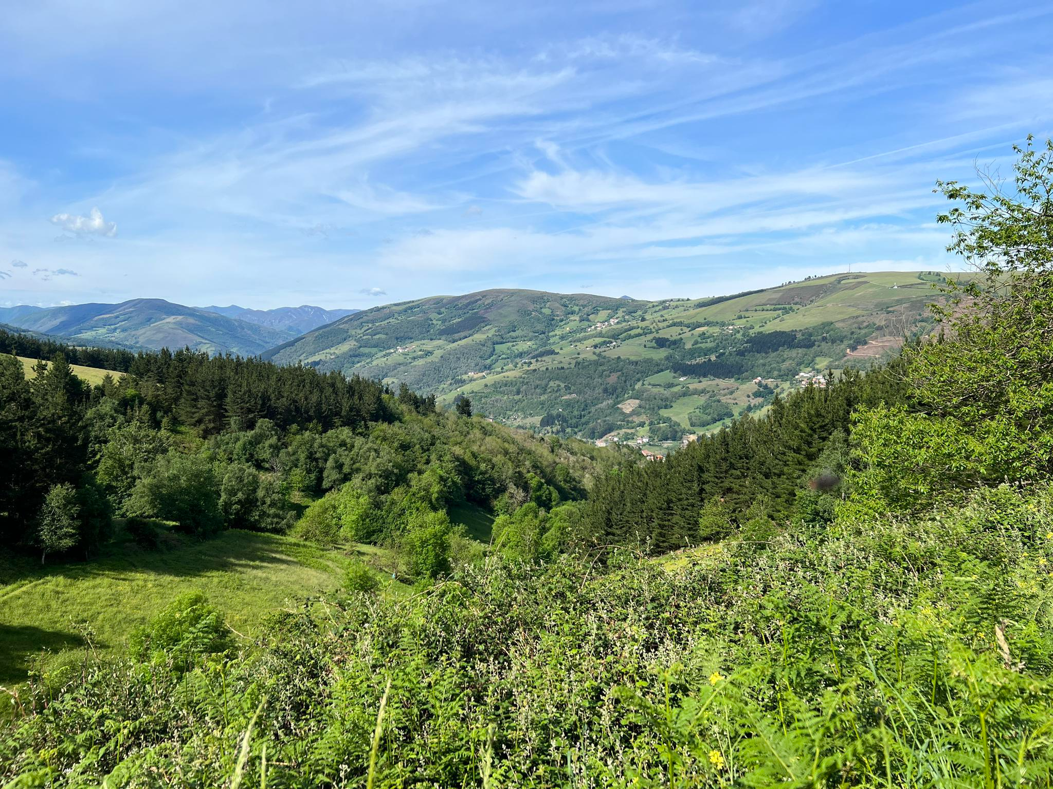
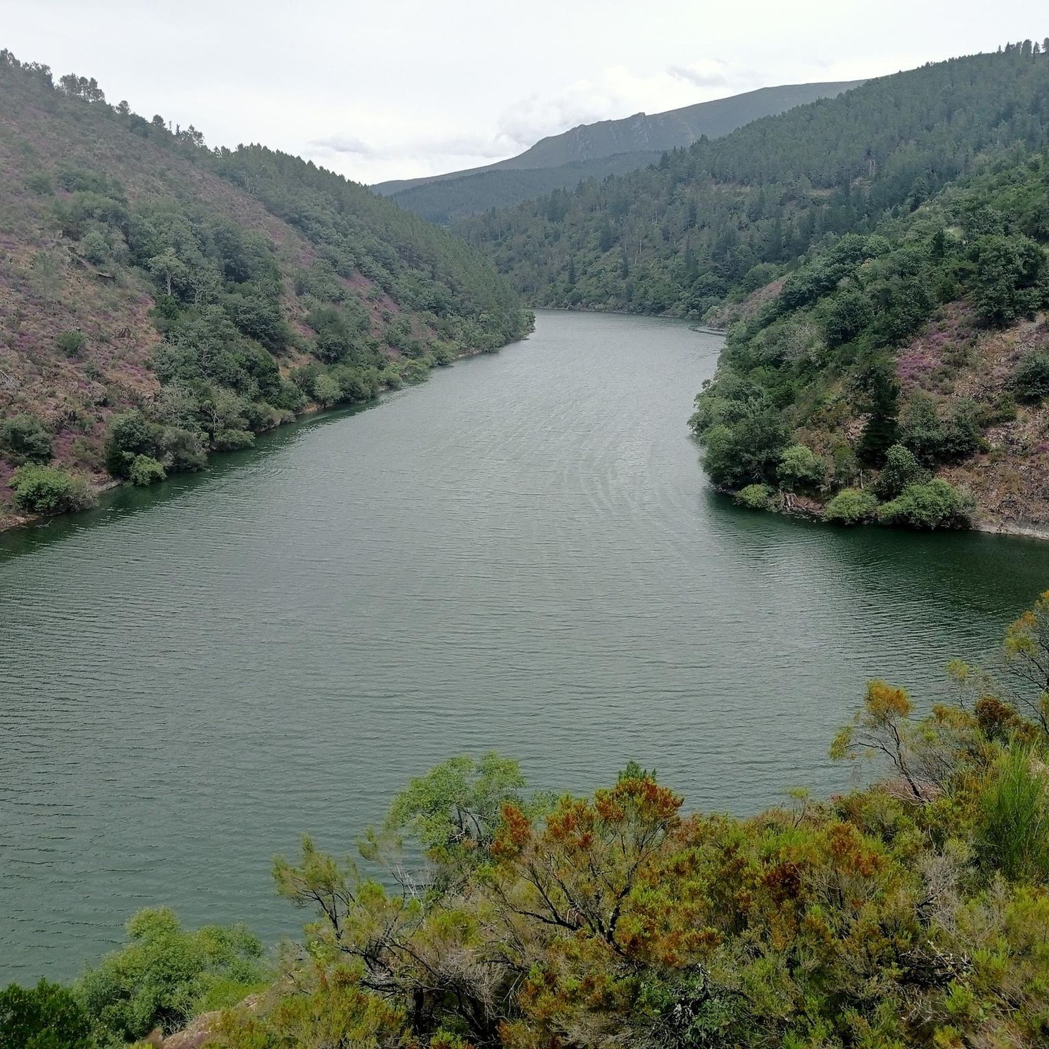
Hiking around Ibias offers diverse terrain, characterized by its mountainous landscape, dense forests, and deep river valleys. The region features ancient woodlands and varied elevations, providing a range of experiences for hikers. Its natural environment includes protected areas, making it suitable for exploring local flora and fauna.
Best hiking trails around Ibias
- The most popular hiking route is Muniellos Lagoons Loop, a difficult 11.25 miles (18.1 km) trail that takes 7 hours 9 minutes to complete. This route explores…
Last updated: July 7, 2026
4.5
(6)
79
hikers
18.1km
07:09
860m
850m
Hike a difficult 11.2-mile circular route through Spain's largest oak forest, featuring glacial lagoons and ancient trees.
4.8
(4)
26
hikers
7.18km
02:16
290m
290m
Moderate hike. Good fitness required. Easily-accessible paths. Suitable for all skill levels.

Sign up for free
4.0
(1)
7
hikers
15.6km
05:52
770m
770m
Hard hike. Very good fitness required. Mostly accessible paths. Sure-footedness required.
7
hikers
7.43km
02:29
360m
360m
Hike the Senda del Oro, a moderate 4.6-mile circular trail from San Antolín de Ibias, exploring Roman gold mines and traditional villages.
19.7km
06:21
890m
880m
Hike the difficult 12.3-mile Monte Busbeirón circular from Santalla, climbing 2911 feet to the highest peak in Montes de Fonsagrada.
Get access to more routes and recommendations from other explorers.
Sign up for free
Already have an account?
Our route recommendations are based on thousands of hikes, rides, and runs completed by other people on komoot.
Start today with a free account
Your next adventure awaits.
Login or Signup
Other adventures around Ibias

Tips from the Community

Visiting the Muniellos Reserve by bicycle is not possible. However, if you approach the reserve area by road bike, that is, by climbing the Connio Pass, then a visit to the Muniellos Interpretive Center is a must. Furthermore, the road leading to the Center is spectacular.
0
0

Muniellos Reserve Interpretation Centre. You can take this detour to enjoy a different section on the climb to Puerto del Connio
1
0
It is the capital of the most inhospitable and remote council of the Principality of Asturias. If you are looking for a secluded place, where you can breathe tranquility but with basic services such as a cafeteria, restaurant, shops, etc., San Antolín is a perfect place. In addition, it is a perfect place to establish a base camp from which to visit the best ports and places in southwestern Asturias and the Arcares area, both in the province of León and Lugo. If you want an adventure, this area is it!
0
0

If you deviate a few meters from the trail to the southwest, you will reach the top of the valley, where you can see the Roman ariferous clearings.
0
0
Village of houses with thick slate masonry walls, which we reach after climbing up the track between chestnut and pine trees.
1
0
San Antolín de Ibias is a parish in the Asturian council of Ibias. The San Antolín de Ibias Recreational Area is located in a natural environment on the banks of the Ibias River, the pool and bar services are available between June 15 and September 15. It is worth visiting the nearby Palloza de Ibias Interpretation Center.
0
1
Third of the lagoons of glacial origin, of the four that make up the group known as Las Lagunas. To get to Laguna Grande you have to take special care because of the very rocky road. Mountain boots essential.
1
0
One of the three largest lagoons of the Muniellos Lakes. A virgin, quiet environment and unbeatable views.
1
0
Frequently Asked Questions
How many hiking trails are available around Ibias?
Ibias offers a diverse network of over 10 hiking trails. These routes traverse the region's mountainous landscape, dense forests, and deep river valleys, providing options for various skill levels.
What is the best time of year to go hiking in Ibias?
The best time for hiking in Ibias is generally from late spring to early autumn (May to October). During these months, the weather is milder and more stable, making for pleasant conditions to explore the region's natural beauty. Autumn also offers spectacular foliage in the ancient woodlands.
Are there any easy hiking trails suitable for beginners or families in Ibias?
Yes, Ibias has a few easy hiking trails that are great for beginners or families. These routes typically feature gentler gradients and shorter distances, allowing everyone to enjoy the natural surroundings. For a moderate, family-friendly option, consider the Small Oubachu route — circular from the Muniellos Interpretation Centre, which is a 7.2 km circular path.
Can I find challenging multi-day hikes in Ibias?
Ibias's mountainous terrain and varied elevations lend themselves to more challenging hikes. While specific multi-day routes are not detailed here, trails like the Muniellos Lagoons Loop (18.1 km, difficult) offer a significant challenge that could be part of a longer hiking adventure when combined with other routes or overnight stays in the region.
Are there circular walks available in Ibias?
Yes, circular walks are available in Ibias, offering convenient options for hikers who prefer to start and end at the same point. A popular choice is the Small Oubachu route — circular from the Muniellos Interpretation Centre, a moderate 7.2 km loop.
Are dogs allowed on the hiking trails in Ibias?
Generally, dogs are welcome on most hiking trails in Ibias, especially in non-protected areas. However, if you plan to hike in specific natural reserves like Muniellos, it's crucial to check local regulations regarding dog access, as restrictions may apply to protect wildlife. Always keep your dog on a leash and clean up after them.
What kind of wildlife or plants might I see while hiking in Ibias?
Ibias is known for its rich biodiversity, especially within its protected areas and ancient woodlands. Hikers might encounter various species of birds, deer, and if very lucky, even brown bears. The flora includes diverse forest types, such as oak and beech, and a wide array of native plants, particularly vibrant in spring and autumn.
Are there any hikes with great viewpoints in Ibias?
Yes, the mountainous landscape of Ibias offers several trails with rewarding viewpoints. You can find stunning vistas from locations such as the Acebo Viewpoint, or from mountain passes like Pozo de las Mujeres Muertas Pass and Connio Pass, which are often part of longer routes.
Where can I find parking for hiking trailheads in Ibias?
Parking is typically available at or near the main trailheads and villages that serve as starting points for hikes in Ibias. For routes originating from specific visitor centers, like the Muniellos Interpretation Centre, dedicated parking facilities are usually provided. In smaller villages, street parking may be an option, but it's always advisable to arrive early, especially during peak season.
Is public transport available to reach hiking areas in Ibias?
Public transport options to reach specific hiking trailheads in Ibias can be limited, as many routes are in more remote, rural areas. Buses connect some of the larger towns and villages within the region, but for direct access to many trailheads, a car is often the most convenient option. It's recommended to check local bus schedules in advance if relying on public transport.
What are the winter hiking conditions like in Ibias?
Winter hiking in Ibias can be challenging due to its mountainous character. Higher elevations may experience snow and ice, making some trails impassable or requiring specialized equipment like snowshoes or crampons. Lower-lying areas might offer milder conditions but can still be wet and muddy. Always check weather forecasts and trail conditions before heading out in winter.
What do other hikers say about the trails in Ibias?
The hiking trails in Ibias are highly rated by the komoot community, with an average score of 4.5 stars from over 40 reviews. Hikers often praise the region's unspoiled natural beauty, the tranquility of its ancient woodlands, and the variety of terrain that offers something for every skill level.
Are there any historical or cultural points of interest along the trails in Ibias?
Yes, Ibias has a rich history that can be explored on its trails. For instance, the Gold Trail is a moderate 7.4 km route that leads through historical landscapes, offering insights into the region's past. You might also encounter traditional Asturian architecture and small, charming villages.
Most popular attractions around Ibias

Get inspired with the komoot mobile app


Explore more
Browse the best Hikes in other regions.
