The best mountain hikes around Adeje
4.7
(93)
694
hikers
16
hikes
Mountaineering routes around Adeje are characterized by dramatic volcanic landscapes, diverse terrain, and significant peaks. The region offers a variety of natural features, including deep ravines like Barranco del Infierno and distinctive tabletop mountains such as Roque del Conde. Its volcanic origins provide unique rock formations and extensive trail networks suitable for exploration. Adeje also serves as a gateway to the iconic Mount Teide National Park, Spain's highest peak, offering challenging ascents and panoramic views.
Best mountaineering routes around Adeje
…Last updated: August 25, 2026
4.9
(8)
50
hikers
15.6km
07:12
1,060m
1,060m
Hard mountaineering route. Very good fitness required. Mostly accessible paths. Sure-footedness required.
3.3
(3)
27
hikers
Moderate mountaineering route. Good fitness required. Mostly accessible paths. Sure-footedness required.

Sign up for free
4.5
(4)
15
hikers
Moderate mountaineering route. Good fitness required. Mostly accessible paths. Sure-footedness required.
5.0
(5)
17
hikers
Hard mountaineering route. Good fitness required. Sure-footedness, sturdy shoes and alpine experience required.
4.8
(6)
12
hikers
10.4km
03:19
420m
420m
Moderate mountaineering route. Good fitness required. Easily-accessible paths. Suitable for all skill levels.
Get access to more routes and recommendations from other explorers.
Sign up for free
Already have an account?
Our route recommendations are based on thousands of hikes, rides, and runs completed by other people on komoot.
Start today with a free account
Your next adventure awaits.
Login or Signup



Tips from the Community

From the (western) ascent path, with good weather, you have a great overview of the Caldera - up to the all-surpassing Teide -, the crater rim is extremely steep in places... !
0
0
Wonderful short scramble over block terrain on "Den Sombrero über Vilaflor". Not critical in itself, you just shouldn't be afraid of heights, the blue dots lead to the goal (and back down!)
0
0

There's a very good cafeteria here with a wide selection of delicious food and drinks. The information center is right next door. The cafeteria offers a wonderful view of the surrounding countryside. Highly recommended and interesting! 👍🏻
6
0
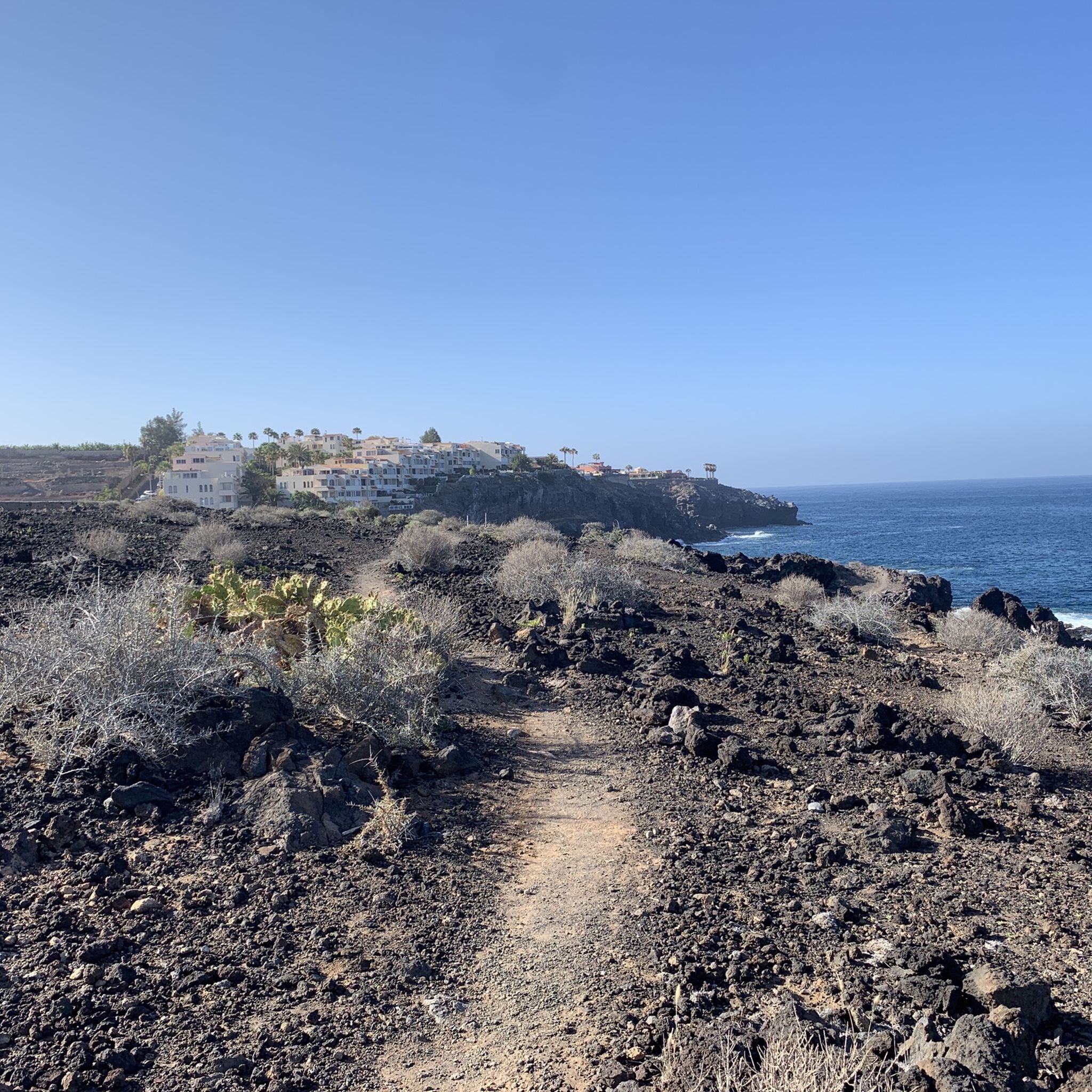
Great views of Los Cristianos; a hike is highly recommended and interesting at the same time.
1
0
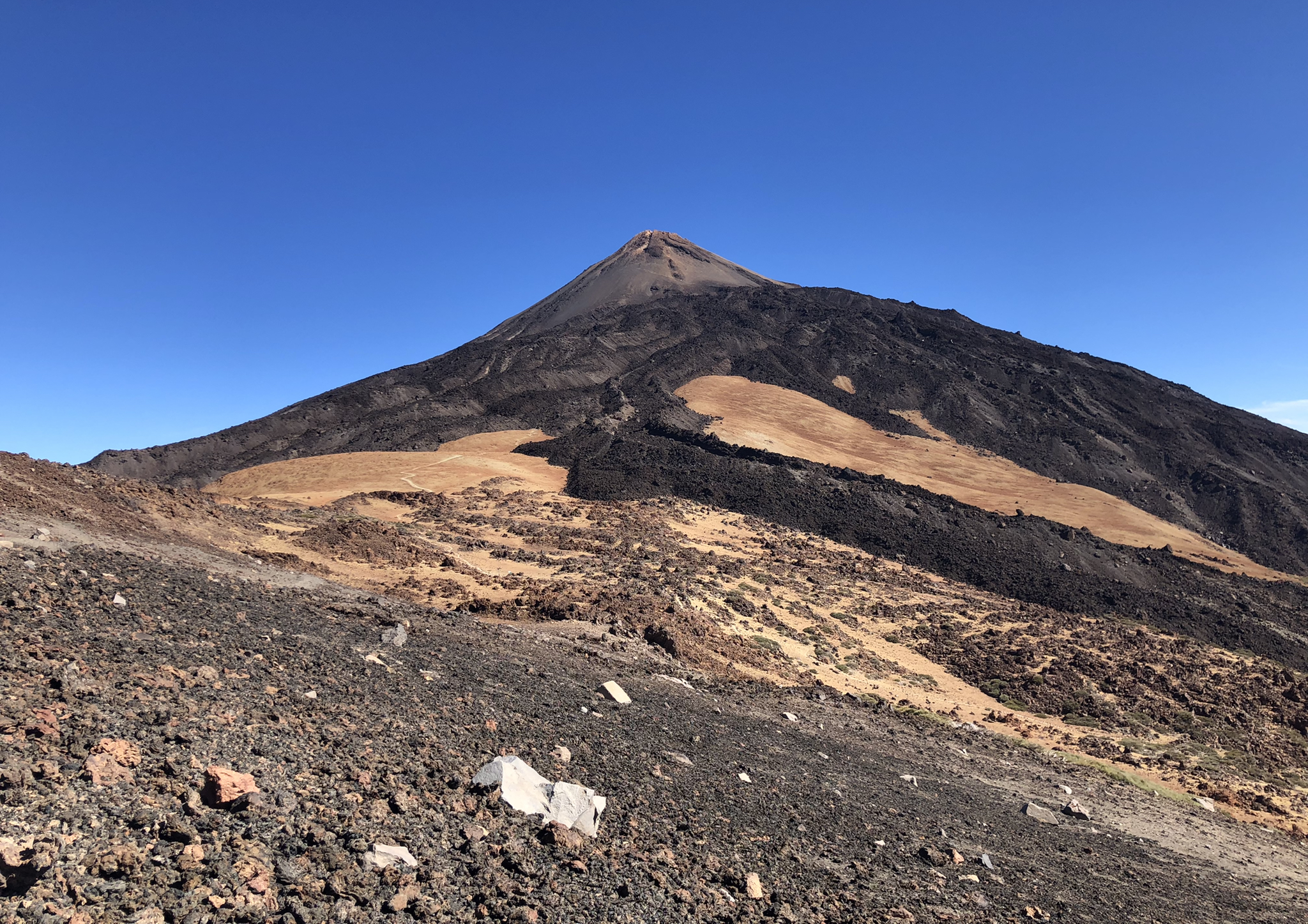
At 3,718 meters, Mount Teide is the highest mountain in Spain. The ascent to the dormant volcano is short, but can be strenuous for those with little experience. From the summit, there are magnificent panoramic views of the Canary Islands. Be sure to book your Teide National Park access pass and cable car ticket in advance.
5
0
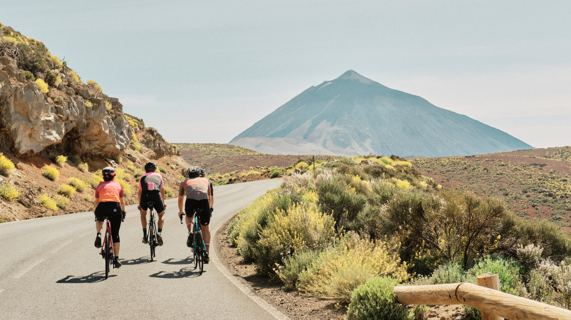
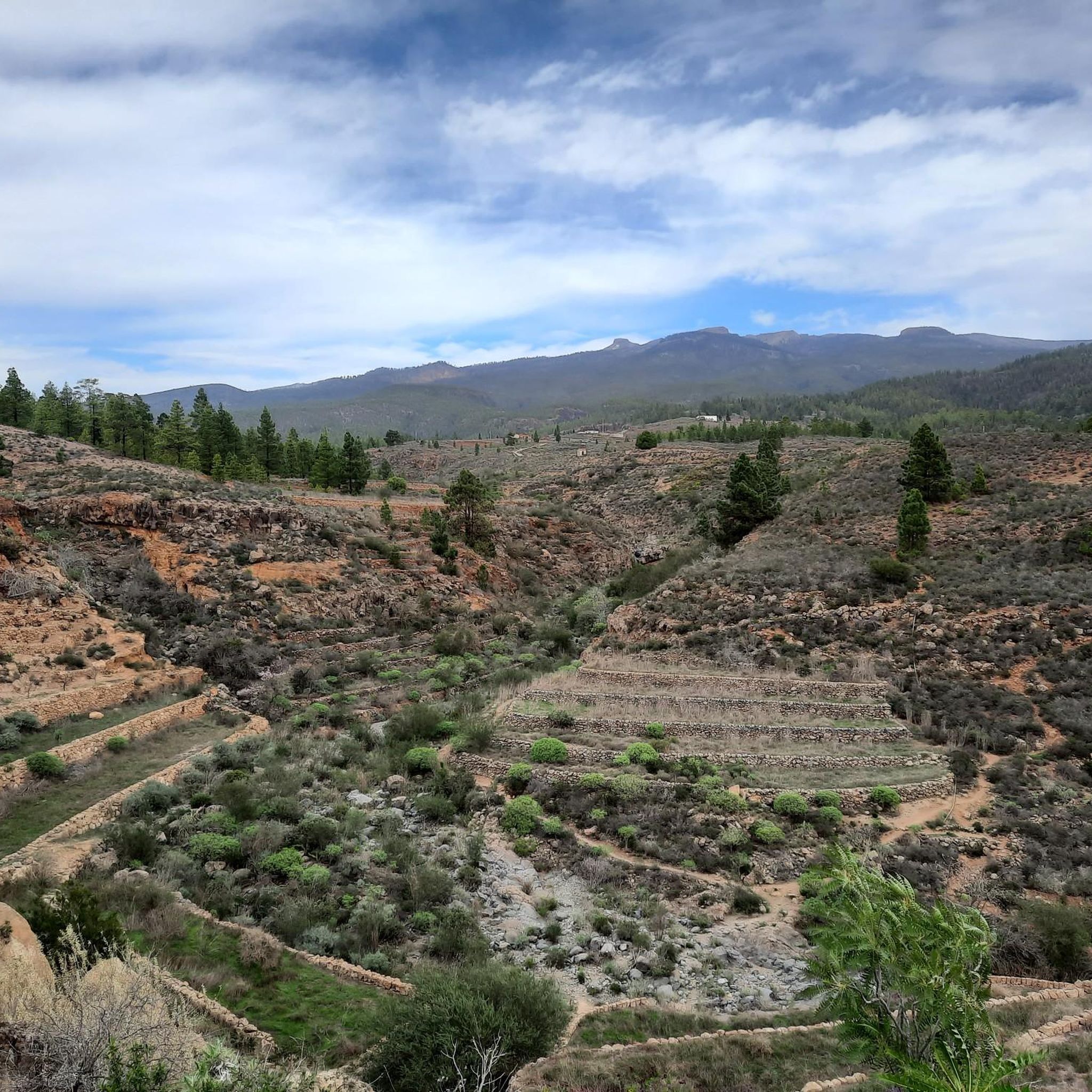
You can enjoy a wonderful hike here. Hiking trails lead in various directions. A stunningly beautiful area with a fantastic view of Mount Teide. Highly recommended and interesting! 👍🏻
6
0
You can enjoy a wonderful hike here. Hiking trails lead in various directions. A stunningly beautiful area with a fantastic view of Mount Teide. Highly recommended and interesting! 👍🏻
6
1

There are no markings on the trail overlooking Los Cristianos. An unpleasant section. Even worse is the descent down the steep cliff to Palm Mar. It's more like climbing. This should be mentioned.
2
0
Frequently Asked Questions
How many mountaineering routes are available around Adeje?
Adeje offers a diverse network of over 20 mountaineering routes, catering to various skill levels. You'll find everything from moderate paths to challenging ascents through volcanic landscapes.
What are the difficulty levels of mountaineering routes in Adeje?
The routes around Adeje range in difficulty. There is 1 easy route, 9 moderate routes, and 12 difficult routes, ensuring options for both casual hikers and experienced mountaineers seeking a challenge.
Are there any family-friendly mountaineering routes near Adeje?
While many routes involve challenging terrain, some shorter, moderate options can be suitable for families. For instance, the Teide National Park – Roque de García loop from Roque Cinchado is a moderate 2.9-mile path that offers a great introduction to the unique volcanic formations of Teide National Park without being overly strenuous.
Can I find circular mountaineering routes in Adeje?
Yes, many of the mountaineering routes around Adeje are circular, allowing you to start and end at the same point. A popular option is the View of Gran Canaria – Degollada de Guajara loop from Roque Cinchado, which offers expansive views and takes you past the historic Guajara peak.
Are there routes with waterfalls in the Adeje area?
Yes, the Barranco del Infierno (Hell's Ravine) is a notable Special Nature Reserve close to Adeje, famous for being home to Tenerife's only natural waterfall. The trail through this ravine offers impressive views and lush landscapes. Access sometimes requires prior reservation to preserve the area's natural beauty.
What kind of views can I expect on these mountaineering routes?
Mountaineering routes around Adeje offer spectacular panoramic views. You can expect dramatic volcanic landscapes, coastal vistas, and on clear days, even glimpses of other Canary Islands like La Gomera, El Hierro, La Palma, and Gran Canaria. Routes like the Cañadas del Teide – View of Mount Teide loop from Mirador de las Narices del Teide provide stunning perspectives of Mount Teide itself.
Are there any permits required for mountaineering in Adeje?
For certain areas, such as the summit of Mount Teide, permits are required. Additionally, access to the Barranco del Infierno trail sometimes requires prior reservation to help preserve the natural environment. It's always advisable to check local regulations before heading out.
What are some interesting natural features or landmarks to explore along the routes?
The Adeje region is rich in natural wonders. You can explore unique volcanic formations, deep ravines, and distinctive tabletop mountains like Roque del Conde. Nearby attractions also include fascinating Cuevas Negras and the Great Cave of Chío. The Highest point at the base of Teide offers a unique perspective on the island's geology.
What is the best time of year for mountaineering in Adeje?
Adeje enjoys a mild climate year-round, making mountaineering possible in most seasons. However, spring and autumn generally offer the most pleasant temperatures for longer hikes. During summer, higher altitudes provide a cooler escape from coastal heat, while winter can bring cooler, clearer days, especially at elevation.
What do other mountaineers say about the routes in Adeje?
The mountaineering routes around Adeje are highly rated by the komoot community, with an average score of 4.8 stars from over 100 reviews. Mountaineers often praise the dramatic volcanic landscapes, the diverse terrain, and the challenging yet rewarding ascents, particularly those offering views of Mount Teide and the surrounding islands.
Are there options for advanced mountaineers looking for a challenge?
Absolutely. Adeje offers 12 difficult mountaineering routes designed for experienced adventurers. Trails like the Roque de García – Pico Viejo Crater loop from Roque Cinchado, which covers 9.7 miles with significant elevation gain, provide a strenuous workout through challenging volcanic terrain.
Is parking available near the trailheads for mountaineering routes?
Parking availability varies by trailhead. For popular areas like Mount Teide National Park or Barranco del Infierno, designated parking areas are usually available, though they can fill up quickly during peak times. For less-trafficked routes, roadside parking might be an option. It's always recommended to plan your parking in advance.
Can I reach any of the trailheads by public transport?
While some major trailheads, particularly within Mount Teide National Park, may be accessible by public bus services (guaguas), many routes in more remote areas require private transport. Checking local bus schedules and routes specific to your chosen trailhead is advisable if you plan to use public transport.
Most popular attractions around Adeje

Get inspired with the komoot mobile app


Explore more
Browse the best Mountain Hikes & Routes in other regions.
