The best walks and hikes around Brañosera
4.5
(212)
939
hikers
45
hikes
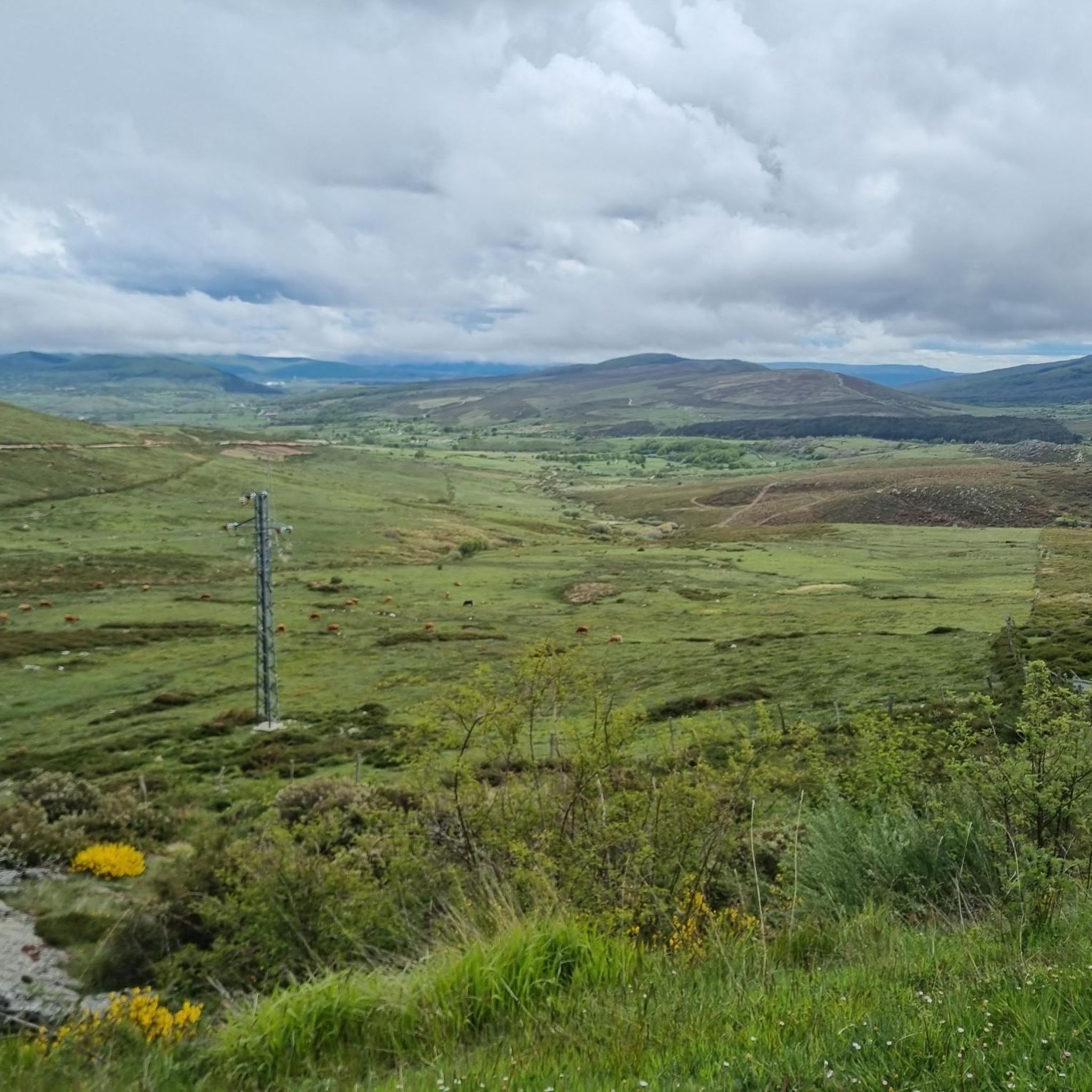
Hiking trails around Brañosera traverse the diverse landscapes of the Montaña Palentina Natural Park, characterized by high mountain scenery and extensive deciduous forests of beech and oak. The region features prominent peaks like Pico Valdecebollas and is shaped by rivers such as the Rubagón and Camesa, which carve through valleys. This varied terrain provides a range of hiking experiences, from forest paths to mountain ascents.
Best hiking trails around Brañosera
- The most popular hiking route is Pico Valdecebollas from Golobar…
Last updated: May 27, 2026
5.0
(2)
46
hikers
5.25km
02:03
380m
380m
Moderate hike. Good fitness required. Easily-accessible paths. Suitable for all skill levels.
5.0
(1)
8
hikers
20.0km
06:40
980m
980m
Hard hike. Very good fitness required. Mostly accessible paths. Sure-footedness required.

Sign up for free
4.6
(5)
13
hikers
8.86km
02:40
290m
290m
Moderate hike. Good fitness required. Mostly accessible paths. Sure-footedness required.
8.46km
02:44
370m
370m
Moderate hike. Good fitness required. Easily-accessible paths. Suitable for all skill levels.
15.5km
04:10
190m
190m
Moderate hike. Good fitness required. Mostly accessible paths. Sure-footedness required.
Get access to more routes and recommendations from other explorers.
Sign up for free
Already have an account?
Our route recommendations are based on thousands of hikes, rides, and runs completed by other people on komoot.
Start today with a free account
Your next adventure awaits.
Login or Signup
Tips from the Community

Perapertú, located in the Mudá Valley, in the Palencia Mountain, offers a spectacular environment to enjoy nature and the mountains. Its town center has ashlar constructions and a church dedicated to San Quirico and Santa Juliana.
1
0

This small town is one of the highest in the province. It has a beautiful Romanesque church called San Martín Obispo and beautiful narrow streets to visit.
0
0
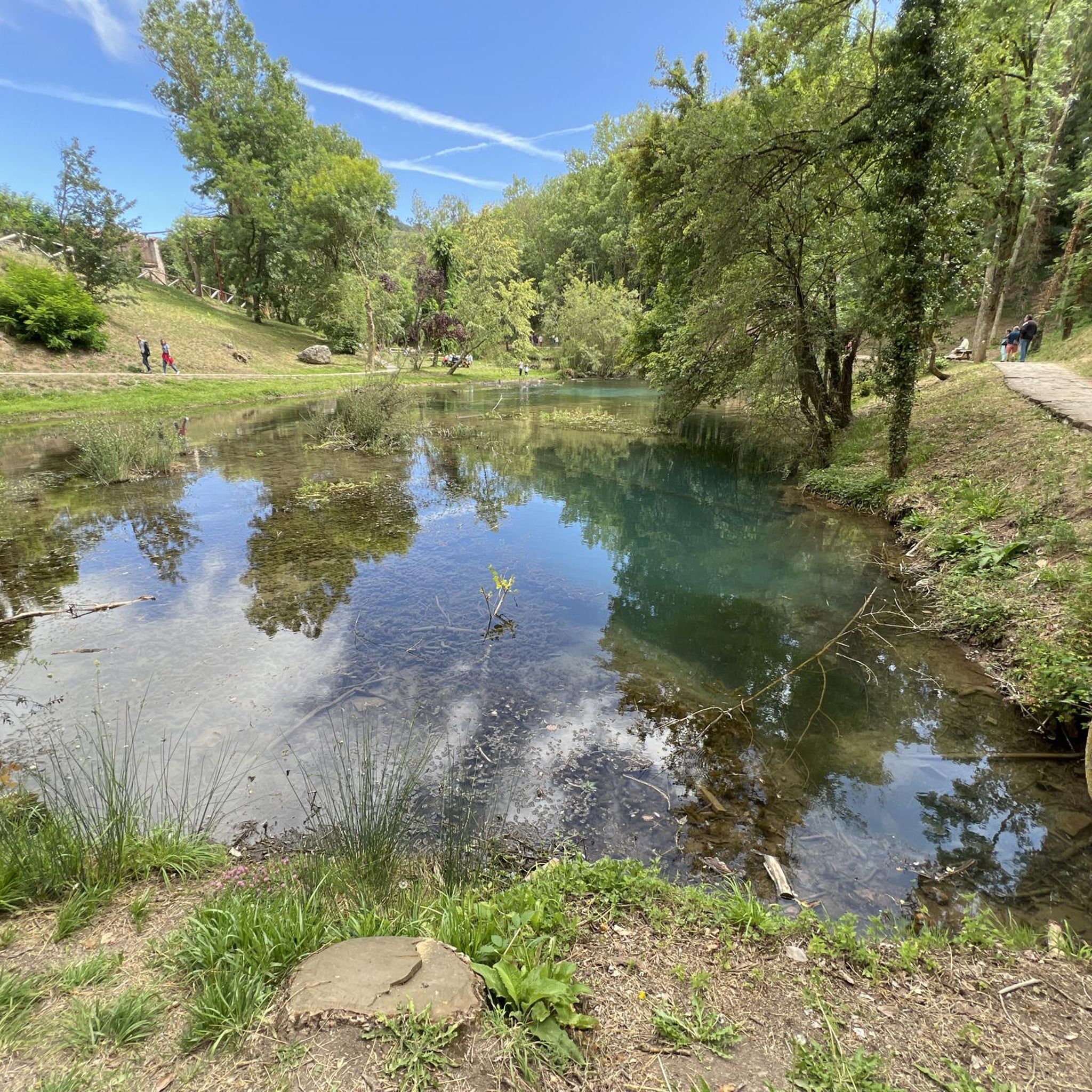
There is a beautiful small waterfall hidden here in the dense vegetation. It is like entering another world.
0
0

Beautiful waterfall hidden among dense vegetation located on the Rubagón river in the town of Brañosera.
1
0
Small and pretty building that takes advantage of a large rock to act as a wall.
1
0
Small stone-built cabin hidden in a beech forest and said to have been used by a maqui in exile. You can sit down and try to imagine the hard life that the outlawed guerrillas of the Franco regime had to go through.
1
0
Town of the Palencia Mountain at the foot of the Sierra de la Braña. It is one of the highest towns in the province, being more than 1200 meters. It is a pretty town where you can make a stop if you are in the area and visit the Romanesque church of San Martín Obispo.
1
0
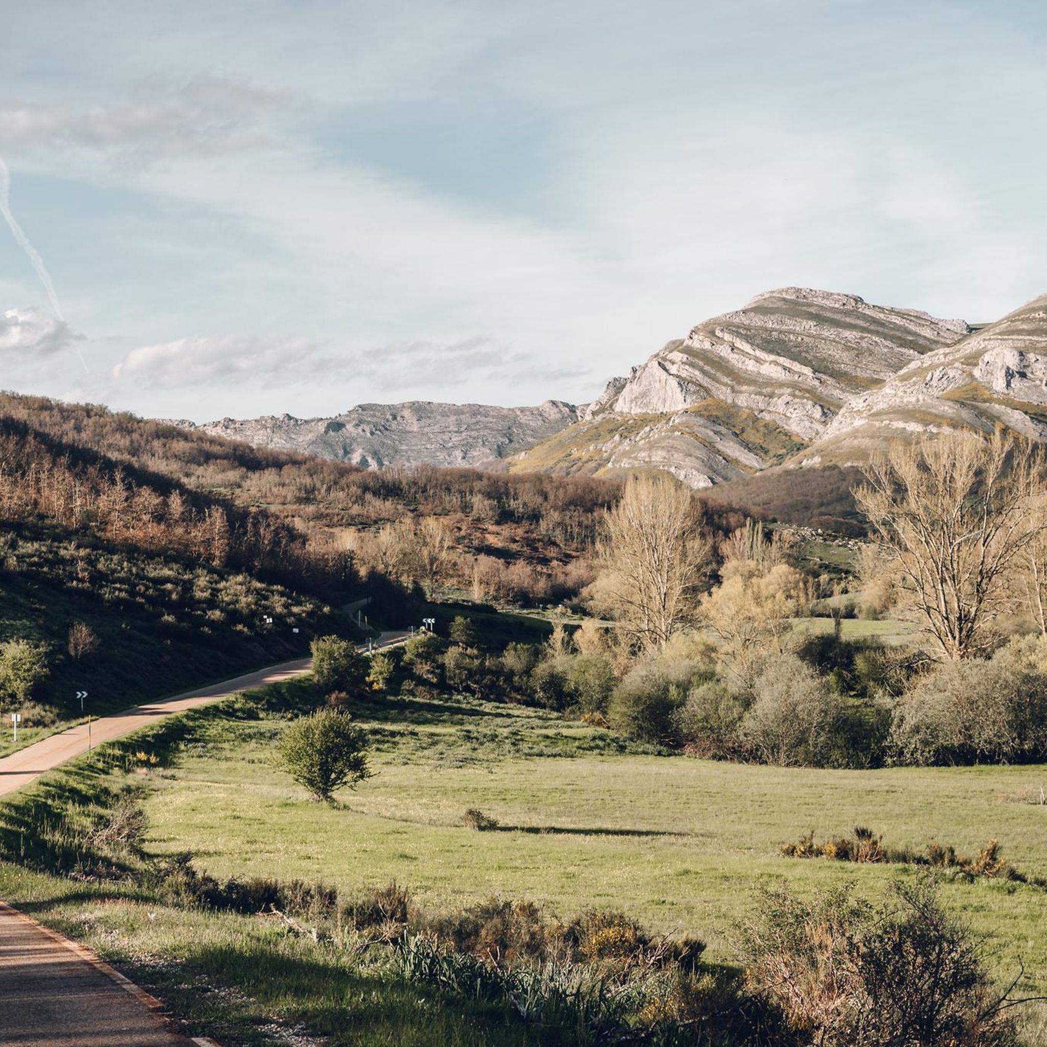
Town located in the Mudá Valley at the foot of the Sierra Corisa. A charming town surrounded by beautiful mountains and pure nature.
1
0
Frequently Asked Questions
How many hiking trails are available around Brañosera, and what are their difficulty levels?
Brañosera offers a wide range of hiking experiences, with over 40 trails available. You'll find options for various abilities, including 11 easy routes, 32 moderate trails, and 2 more challenging hikes, ensuring there's something for everyone.
Are there any waterfalls or unique natural features to discover on hikes near Brañosera?
Yes, the area is rich in natural beauty. A notable feature is Pozo Merino, a beautiful waterfall fed by the Rubagón river. In winter, it can even form impressive ice waterfalls. The region also boasts extensive deciduous forests of beech and oak, and rivers like the Camesa, which carves through the landscape, creating features such as the historic Puente Rojadillo bridge.
What kind of views can I expect on the hiking trails in Brañosera?
Hikers in Brañosera can enjoy diverse and striking views. Many trails offer panoramic vistas of the Montaña Palentina Natural Park, especially from higher elevations like Pico Valdecebollas. You'll also encounter scenic forest paths, river valleys, and picturesque mountain scenery throughout the region. For specific viewpoints, consider exploring highlights like Piedrasluengas Viewpoint.
Are there any family-friendly hiking options in Brañosera?
While the guide doesn't specifically label routes as 'family-friendly,' the presence of 11 easy trails suggests suitable options for families. These routes typically have minimal elevation gain and cover shorter distances, allowing for a pleasant outing with children. The diverse forests and riverbanks provide engaging natural environments for younger hikers to explore.
Can I bring my dog on the hiking trails around Brañosera?
The Montaña Palentina Natural Park, where Brañosera is located, is generally welcoming to dogs, though specific regulations may apply in certain protected areas or during wildlife breeding seasons. It's always advisable to keep your dog on a leash, especially given the park's rich biodiversity, which includes species like the Cantabrian brown bear and Iberian wolf. Most trails are suitable for dogs, but always ensure they are well-behaved and you clean up after them.
Are there any circular hiking routes available in Brañosera?
Yes, there are several excellent circular routes. For instance, the challenging Pico Valdecebollas and Pozo Merino Loop offers extensive views over 12.4 miles. A moderate option is the Salcedillo, Puente Rojadillo, and Chozo Tonino Trail, which explores historical sites and diverse landscapes. Another moderate circular trail is the GR 1 Historical Trail: Perapertú and El Portillo Loop.
What is the best time of year to go hiking in Brañosera?
Brañosera offers hiking opportunities throughout the year, each season providing a unique experience. Spring and autumn are particularly popular due to mild temperatures and vibrant natural colors – spring brings lush greenery and wildflowers, while autumn transforms the deciduous forests into a spectacle of reds and golds. Summer is ideal for higher altitude hikes, and winter can be magical with snow-covered landscapes, though some routes may require specialized gear or experience due to ice and snow, especially around Pozo Merino.
Are there any historical or cultural landmarks to see while hiking in Brañosera?
Yes, the region has a rich history. The Salcedillo, Puente Rojadillo, and Chozo Tonino Trail, for example, takes you past a Roman bridge over the Camesa River and a traditional stone cabin. Brañosera itself is considered the first municipality in Spain, adding to its historical significance. The area is also part of the long-distance GR 1 Historical Trail, which traverses Spain through spectacular mountain scenery.
What do other hikers enjoy most about the trails in Brañosera?
The trails in Brañosera are highly rated by the komoot community, with an average score of 4.5 stars from over 200 reviews. Hikers frequently praise the diverse terrain, from high mountain scenery to extensive deciduous forests, and the well-marked paths. The panoramic views from peaks like Pico Valdecebollas and the tranquility of the natural park are also commonly highlighted as favorite aspects.
Are there any specific peaks or summits I can hike to in the Brañosera area?
Absolutely. The most prominent peak in the area is Pico Valdecebollas, standing at 2,139 meters. It offers rewarding experiences and panoramic views. You can reach its summit via routes like the Pico Valdecebollas from Golobar Trail. Other notable summits in the broader region include Tres Mares Peak and Peña Labra.
Is public transport available to reach hiking trailheads in Brañosera, or is parking readily available?
While specific public transport options directly to all trailheads might be limited in this natural park setting, Brañosera itself is accessible. For those driving, parking is generally available in and around the village, serving as a convenient starting point for many routes. It's advisable to check local information for specific trailhead parking facilities, especially during peak seasons.
Most popular attractions around Brañosera

Get inspired with the komoot mobile app


Explore more
Browse the best Hikes in other regions.
