The best mountain hikes around Cervera De Pisuerga
5.0
(1)
44
hikers
3
hikes
Mountaineering around Cervera De Pisuerga offers access to the rugged landscapes of the Palencia mountain range, part of the Cantabrian Mountains. This region serves as a gateway to the Fuentes Carrionas and Fuente Cobre-Montaña de Palencia Natural Park, characterized by diverse terrain including emblematic peaks like Espigüete and Curavacas. The area features impressive spires, cliffs, and ravines, providing challenging ascents and varied mountaineering routes.
Best mountaineering routes around Cervera De Pisuerga
- The most popular mountaineering route is Peña Prieta (2,538…
Last updated: July 1, 2026
9
hikers
8.94km
03:11
520m
530m
Moderate mountaineering route. Good fitness required. Easily-accessible paths. Suitable for all skill levels.
4
hikers
10.4km
05:57
1,080m
1,080m
Hard mountaineering route. Very good fitness required. Sure-footedness, sturdy shoes and alpine experience required.

Sign up for free
5
hikers
11.8km
03:39
430m
430m
Moderate mountaineering route. Good fitness required. Easily-accessible paths. Suitable for all skill levels.
Our route recommendations are based on thousands of hikes, rides, and runs completed by other people on komoot.
Start today with a free account
Your next adventure awaits.
Login or Signup
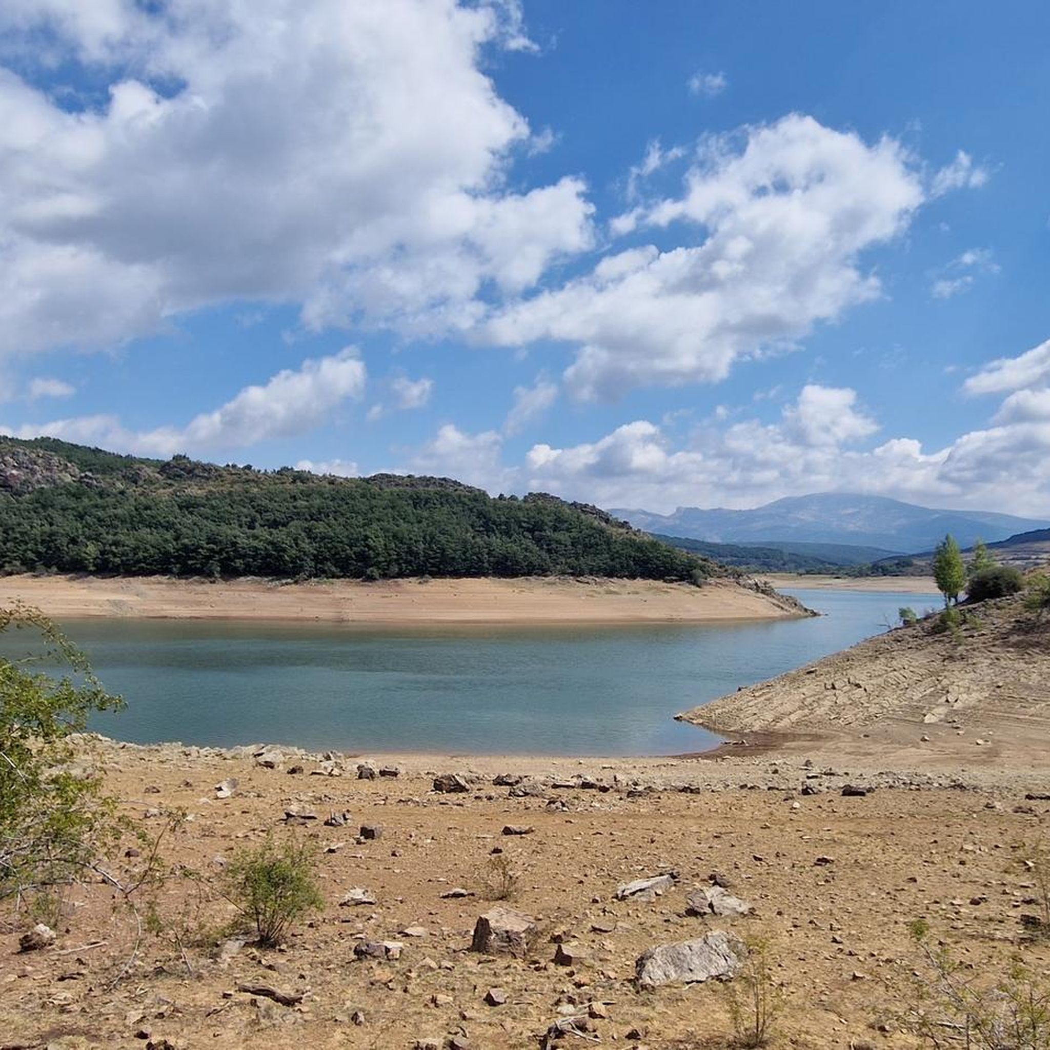
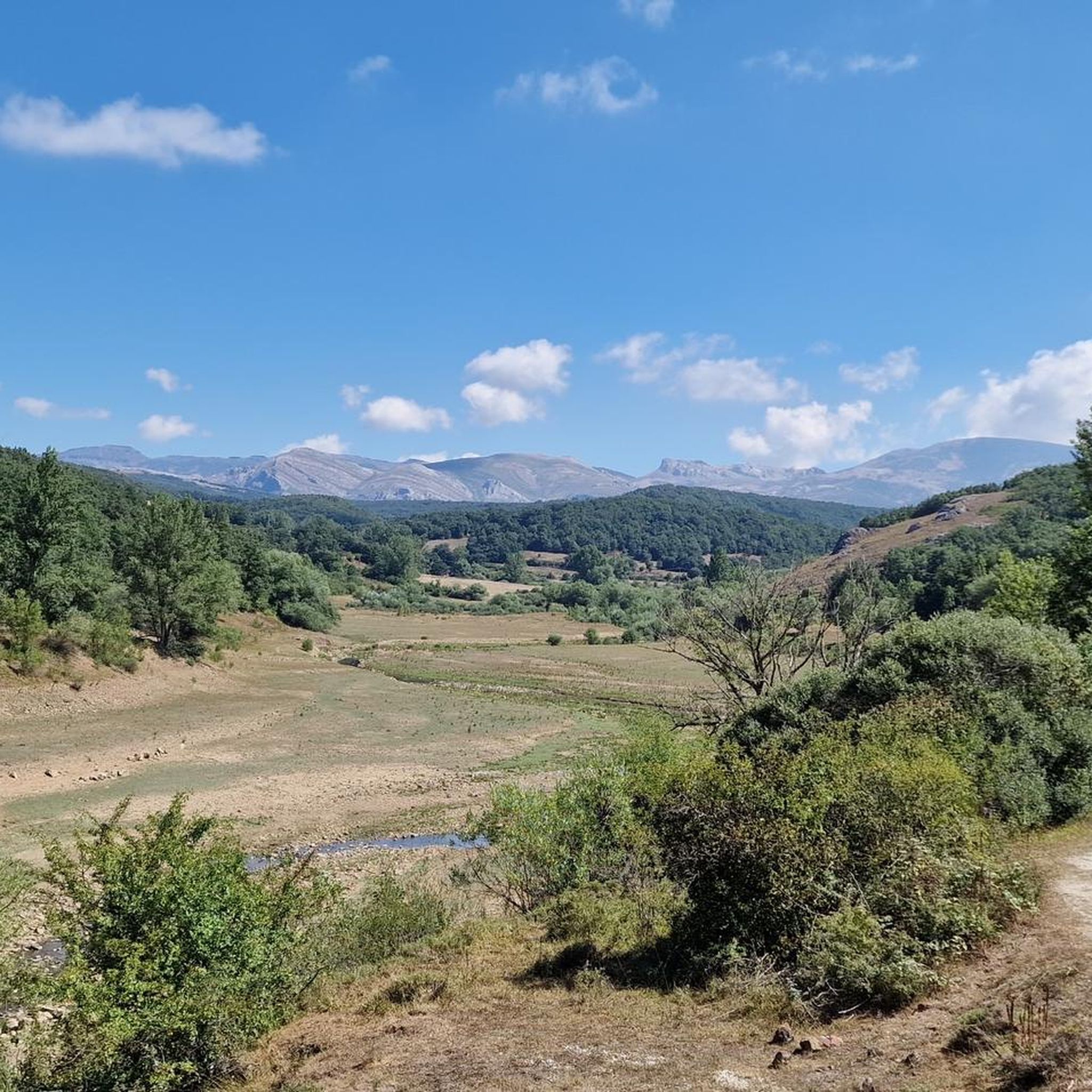
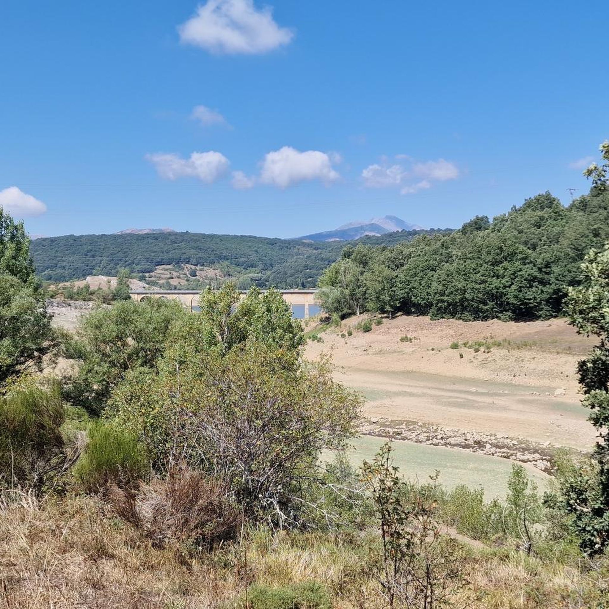
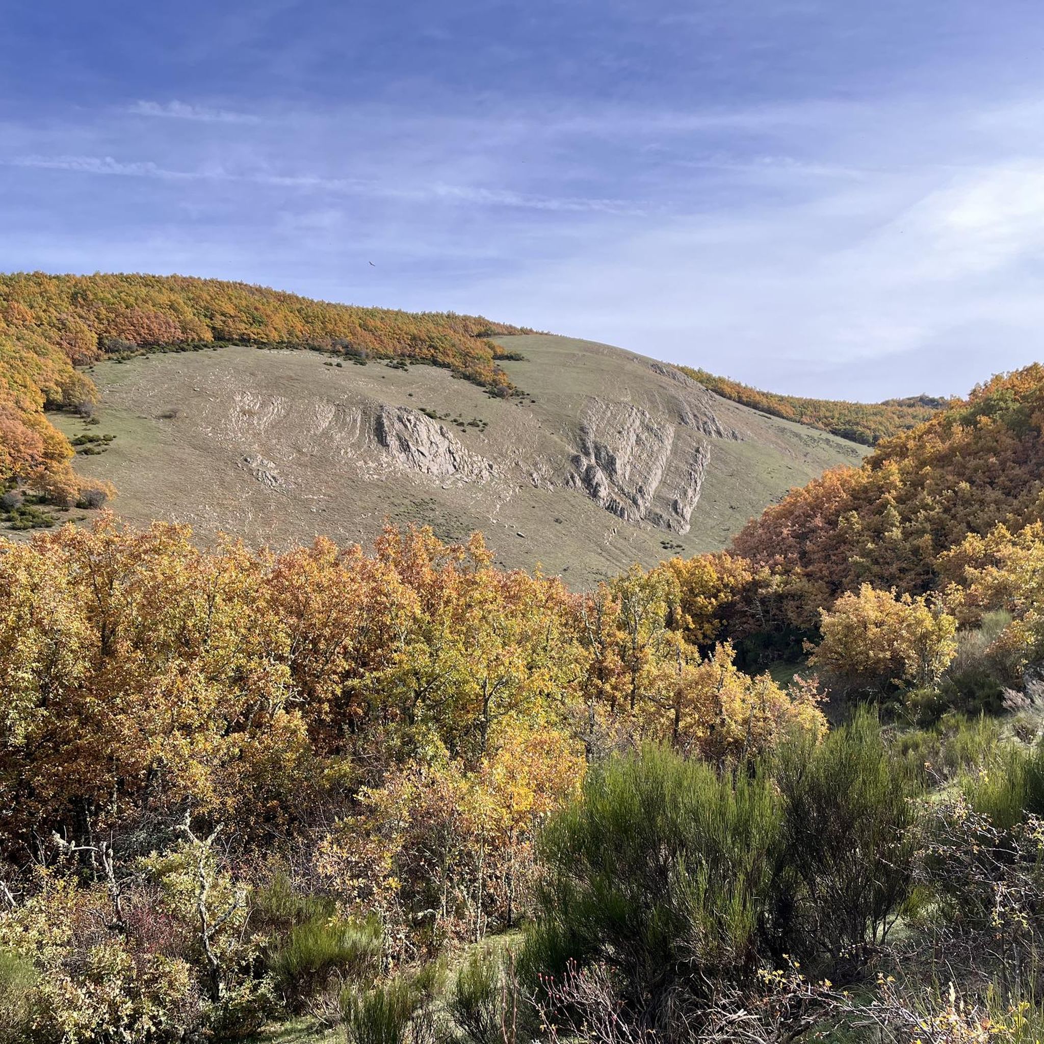

Tips from the Community

A varied tour with a box seat view of the southern Picos in Spain: This circular hike does not run through the Picos de Europa itself, but it has everything that makes a hiker's heart beat faster in Cantabria: Comfortable, wide paths alternate with short, steep climbs on narrow paths, sometimes it goes through sparse forests, sometimes the eye can hardly get enough of the views. The whole thing is spiced up with two small ponds that invite you to have a picnic along the way, a small, Stone Age megalithic tomb and the (albeit barely visible) remains of an Iron Age settlement. The brilliant highlight of the tour is the Pico Jano. From the almost 1,500 m high summit and the subsequent short ridge hike, you can look out over the entire south side of the Picos de Europa, the Liébana valley and to the south over the Cantabrian divide as if from a box seat.
2
0

It is a very beautiful trail that goes from the Pinollano parking lot to La Cascada del Mazobre. It is a popular hike and not too difficult for biking.
0
0

The route is quite difficult and without major highlights along the way. It's steep up and steep down again. A good level of fitness is important. The grandiose view from the summit then compensates for the exertion. ☺️
0
0

Palencia summit located in the town of Cardaño de Abajo which can be ascended by several routes, although several of them present a fairly high technical difficulty.
1
1

At 1446 meters above sea level, the peak of El Pico Jano is the highest in the Sierra de Collaín and you will feel that you are touching the clouds, or failing that, you will be above them! As there are no obstacles ahead, the views are truly amazing and will invite you to stay there for a few minutes enjoying this beautiful landscape of the Cantabrian mountain range.
1
0
Very picturesque path with beautiful views that runs through the Castro de la Tejera and allows you to reach Pico Jano.
2
0

The path that runs from Pinollano to La Cascada de Mazobre is 3 km of good track.
1
0
Climbing the east ridge is very demanding. Going down the north slope requires a lot of attention to avoid falls.
1
0
Frequently Asked Questions
What types of mountaineering routes can I find around Cervera de Pisuerga?
The region offers a diverse range of mountaineering routes, from moderate paths to challenging ascents. You'll encounter rugged landscapes, impressive spires, cliffs, and ravines within the Palencia mountain range, part of the Cantabrian Mountains. Options include high mountain peaks, ancient forests, and glacial lakes.
Are there any beginner-friendly mountaineering routes in the area?
While many routes are challenging, there are options suitable for those with moderate experience. For example, the Embalse de la Tejera – Pico Jano loop from Pico Jano is rated as moderate, offering varied mountain landscapes without the extreme difficulty of some other ascents. Another moderate option is the Cueva del Cobre loop from Parking Cueva del Cobre.
What are some of the more challenging mountaineering routes near Cervera de Pisuerga?
For experienced mountaineers, the area presents several demanding routes. The Peña Prieta (2,538 m) loop from Cardaño de Arriba is a difficult 17 km trail with over 1,000 meters of elevation gain. Another challenging option is the Diente del Oso – Curavacas loop from Vidrieros, featuring a significant ascent through mountainous terrain. The Espigüete loop from Parking Pinollano also offers a difficult ascent to one of the region's emblematic peaks.
Are there any circular mountaineering routes available?
Yes, several routes are designed as loops, allowing you to start and finish at the same point. Examples include the Peña Prieta (2,538 m) loop from Cardaño de Arriba, the Diente del Oso – Curavacas loop from Vidrieros, and the Embalse de la Tejera – Pico Jano loop from Pico Jano. These circular routes offer varied scenery without retracing your steps.
What natural features or landmarks can I expect to see along the mountaineering routes?
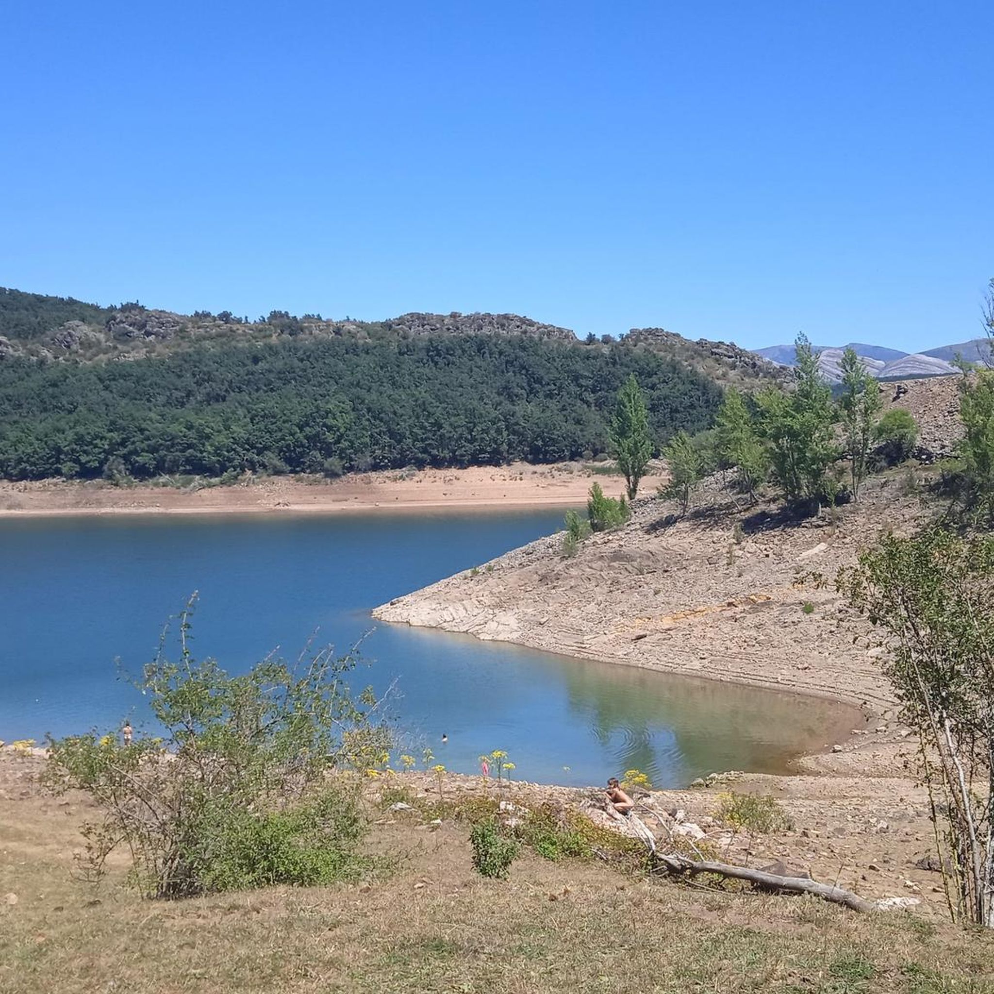
The region is rich in natural beauty. You can expect to see impressive mountain peaks like Espigüete and Curavacas, ancient forests such as the Roblón de Estalaya and Tejada de Tosande, and various water features. Notable attractions include the spectacular Mazobre Waterfall and the picturesque Requejada Reservoir. The Piedrasluengas Viewpoint offers panoramic views of the Picos de Europa and Peña Labra.
Are there any waterfalls or lakes accessible from the mountaineering trails?
Yes, the landscape features several beautiful water elements. The Mazobre Waterfall is one of the most spectacular in the province and can be accessed via hikes. You'll also find mountain lakes like Pozo de las Lomas and reservoirs such as the Aguilar Reservoir and Ruesga Reservoir, which add to the scenic charm of the routes.
What is the best time of year for mountaineering in Cervera de Pisuerga?
The best time for mountaineering generally depends on your experience and the specific route. While summer offers more stable weather, spring and autumn provide cooler temperatures and vibrant landscapes. Winter mountaineering is possible, especially for ice climbing on features like Pico Valdecebollas, but requires specialized gear and experience due to snow and ice conditions.
What do other mountaineers say about the routes in Cervera de Pisuerga?
The mountaineering routes in Cervera de Pisuerga are highly regarded by the komoot community, with an average rating of 5.0 stars. Users often praise the challenging ascents, the stunning natural beauty of the Cantabrian Mountains, and the diverse terrain that includes high peaks, ancient forests, and glacial lakes.
Is it possible to find parking at the trailheads for these routes?
Many popular trailheads, such as those for routes starting from Cardaño de Arriba, Vidrieros, Pico Jano, Parking Pinollano, and Parking Cueva del Cobre, typically offer designated parking areas. It's always advisable to check specific route details for parking availability and any potential restrictions, especially during peak seasons.
Are there any specific permits required for mountaineering in the Fuentes Carrionas and Fuente Cobre-Montaña de Palencia Natural Park?
While general hiking in the Natural Park typically does not require specific permits, certain activities or access to sensitive areas might have regulations. It's always recommended to check with the Natural Park House in Cervera de Pisuerga for the most up-to-date information regarding permits or restrictions, especially for more technical climbs or during specific seasons.
Can I bring my dog on the mountaineering trails in the Palencia mountains?
The Fuentes Carrionas and Fuente Cobre-Montaña de Palencia Natural Park generally allows dogs on trails, but regulations can vary. It's crucial to keep dogs on a leash to protect local wildlife and ensure their safety, especially in rugged terrain or near livestock. Always check specific park guidelines or local signage for any restrictions on particular routes or during certain times of the year.
Are there any routes suitable for families with children?
While many mountaineering routes in this region are challenging, some shorter, less strenuous paths might be suitable for active families. For example, the area offers easier paths like the "Senda del Gigante del Valle Estrecho" which are more akin to hiking trails. When planning with children, look for routes explicitly rated as easy or moderate, and consider factors like distance, elevation gain, and terrain.
Most popular routes around Cervera De Pisuerga
Most popular attractions around Cervera De Pisuerga

Get inspired with the komoot mobile app


