The best walks and hikes around Galbárruli
4.3
(326)
1,775
hikers
208
hikes
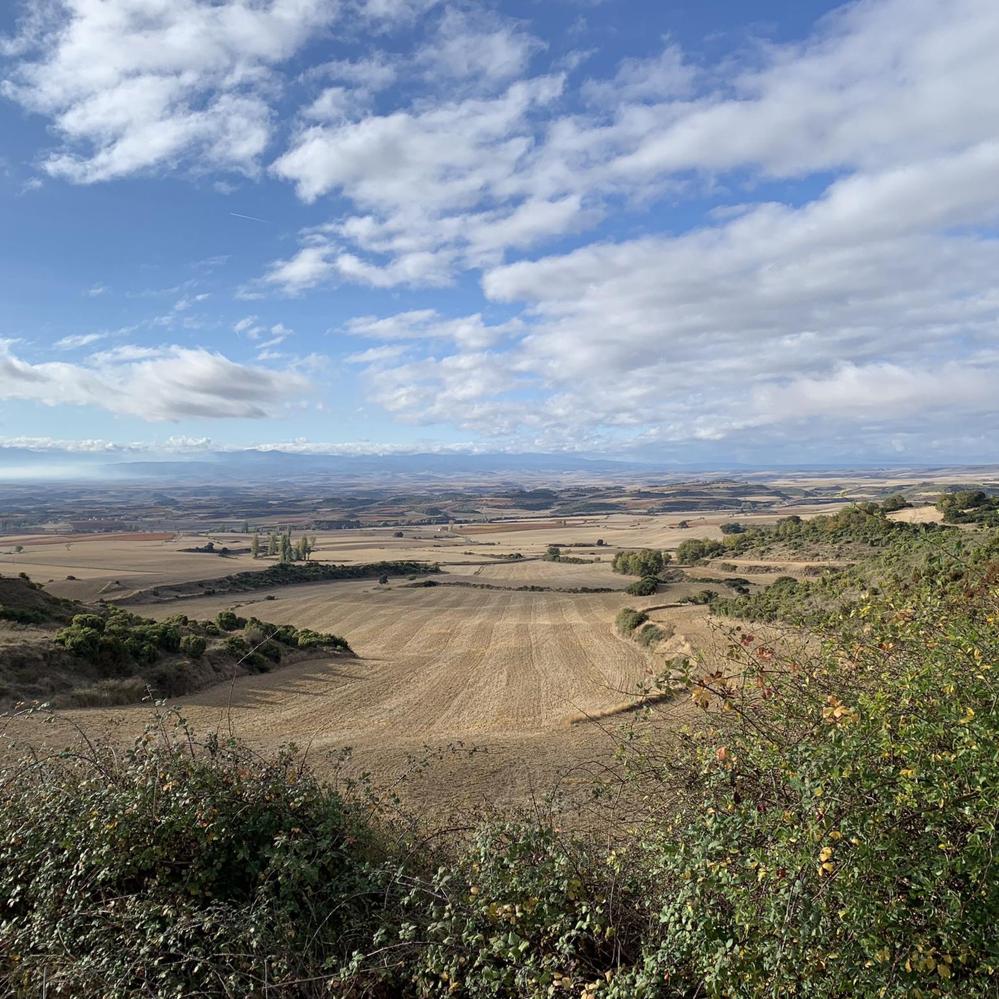
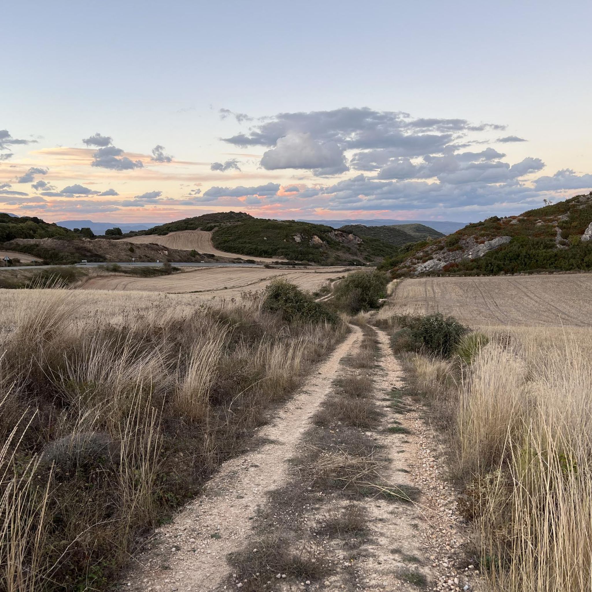
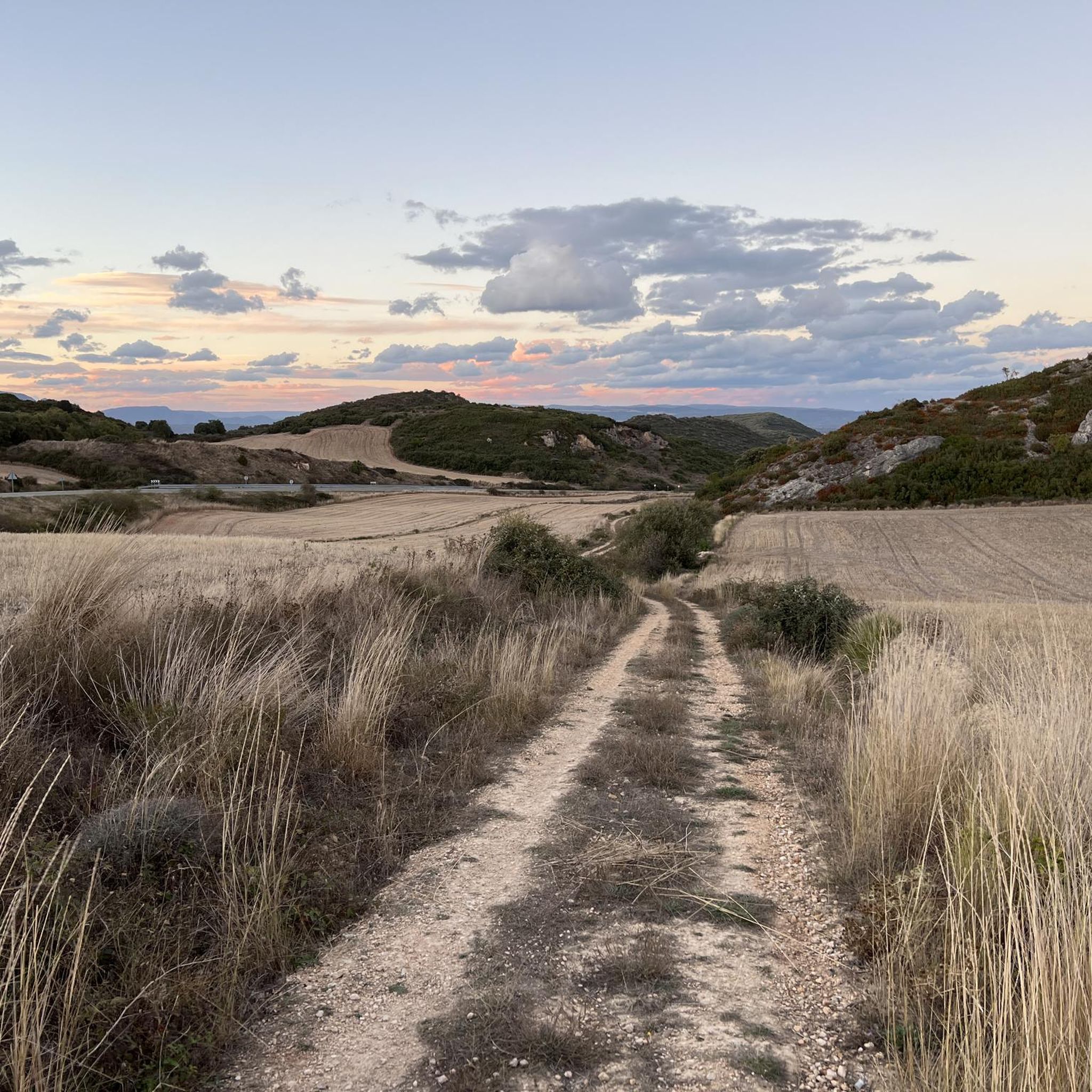
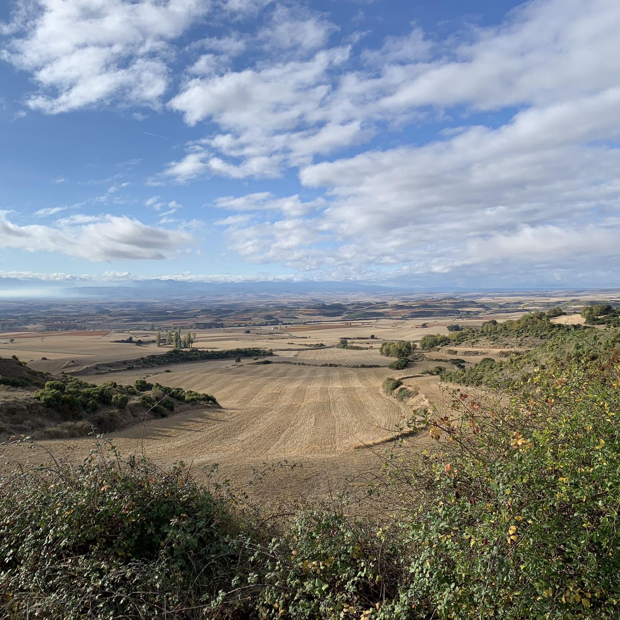
Hiking around Galbárruli offers a diverse landscape for outdoor exploration. The region features a mix of trails that traverse hills and provide views of the surrounding countryside. Many routes include ascents to local peaks, offering varied elevation changes. The terrain often includes forested sections and open areas, suitable for different hiking preferences.
Best hiking trails around Galbárruli
- The most popular hiking route is Cruz de Motrico Trail, a 6.1 miles (9.8 km) trail that takes 3 hours 2 minutes to complete, featuring moderate ascents and scenic viewpoints.
- Another top favourite among local hikers is Montefuerte y Peñalrayo — circular desde La Laguna de San Juan del Monte, a moderate 4.3 miles (6.9 km) path that circles a lagoon and includes sections with varied elevation.
- Local hikers also love the Galbárruli and Peñalrayo Peaks Loop, a 6.4 miles (10.3 km) trail leading through multiple peaks, often completed in about 3 hours 7 minutes.
- Hiking around Galbárruli is defined by its varied terrain, including hill climbs, circular paths, and trails leading to local peaks. The network offers options for easy hikes, moderate excursions, and more challenging routes, catering to different ability levels.
- The routes in Galbárruli are highly rated by the komoot community with an average score of 4.3 stars from more than 280 reviews. More than 1700 hikers have used komoot to explore Galbárruli's varied terrain.
Last updated: June 24, 2026
4.8
(5)
29
hikers
9.78km
03:02
330m
330m
Hike the moderate 6.1-mile Cruz de Motrico y Mirador de la Rioja circular trail for panoramic views of the Ebro valley and La Rioja.
4.5
(4)
15
hikers
6.85km
02:15
320m
320m
Moderate hike. Good fitness required. Easily-accessible paths. Suitable for all skill levels.

Sign up for free
5.0
(3)
10
hikers
10.3km
03:07
330m
330m
Hike a difficult 6.4-mile (10.3 km) circular route from Galbárruli, conquering multiple peaks with panoramic views in Montes Obarenes.
3.0
(1)
9
hikers
6.68km
02:08
290m
290m
Hike the moderate 4.1-mile Las Rastrillas Loop Trail in Monte de San Juan, gaining 950 feet with expansive views from El Calero Viewpoint.
5.0
(2)
8
hikers
6.23km
02:00
270m
270m
Hike the moderate 3.9-mile Peñalrayo circular from Galbárruli, gaining 902 feet for panoramic views of La Rioja Alta.
Get access to more routes and recommendations from other explorers.
Sign up for free
Already have an account?
Our route recommendations are based on thousands of hikes, rides, and runs completed by other people on komoot.
Start today with a free account
Your next adventure awaits.
Login or Signup

Tips from the Community

A stunning landscape, worth the short detour.
2
0
A good idea if you have climbed Mount Forte before (or after).
2
0
For not much effort, the visual reward is great.
2
0
Very close to Mount San Juan.
2
0
A beautiful and very curious place.
2
0
In the evenings the view is extraordinary.
3
0

On the southern slope of the Obarenses Mountains we find this rock that offers impressive views of the plain at the foot of the massif itself.
2
0
Frequently Asked Questions
How many hiking trails are available around Galbárruli?
There are over 210 hiking routes around Galbárruli, offering a wide range of options for all skill levels. This includes 51 easy, 140 moderate, and 23 difficult trails.
Are there any easy, family-friendly walks in Galbárruli?
Yes, Galbárruli offers a good selection of easy trails suitable for families. There are 51 easy routes, many of which feature gentle terrain and shorter distances, perfect for a leisurely outing. While specific family-friendly routes aren't highlighted, the region's diverse landscape ensures options for all ages.
What kind of terrain can I expect on hikes in Galbárruli?
The terrain around Galbárruli is quite varied, featuring a mix of hills, forested sections, and open areas. Many routes include ascents to local peaks, providing varied elevation changes and rewarding views. You'll find both circular paths and trails leading to summits.
Are there any circular hiking routes in Galbárruli?
Yes, Galbárruli has several excellent circular routes. One popular option is the Montefuerte y Peñalrayo — circular desde La Laguna de San Juan del Monte, a moderate 4.3-mile (6.9 km) path that circles a lagoon. Another is the Las Rastrillas Loop Trail, a moderate 6.7 km route.
What are some notable landmarks or attractions I can see while hiking in Galbárruli?
The region around Galbárruli is rich in historical and natural landmarks. You can explore several castles, such as Sajazarra Castle, Castillo de los Velasco, and Velasco Castle and Cuzcurrita de Río Tirón Bridge. For panoramic views, consider trails that pass by peaks like Cruz de Motrico or Peñalrayo.
What do other hikers enjoy most about hiking in Galbárruli?
The area is highly rated by the komoot community, with an average score of 4.3 stars from over 280 reviews. Hikers often praise the diverse terrain, including hill climbs and scenic viewpoints, as well as the variety of routes catering to different ability levels. The mix of forested sections and open areas is also frequently highlighted.
Are there any challenging hikes for experienced trekkers in Galbárruli?
Yes, for experienced trekkers seeking a challenge, there are 23 difficult routes available. One such trail is the Galbárruli and Peñalrayo Peaks Loop, a 6.4-mile (10.3 km) trail that leads through multiple peaks and typically takes around 3 hours 7 minutes to complete.
What is the best time of year to hike in Galbárruli?
While specific seasonal data isn't provided, regions with varied terrain like Galbárruli generally offer pleasant hiking conditions in spring and autumn, when temperatures are mild and the landscape is vibrant. Summer can be good for higher elevations, while winter might offer unique, albeit more challenging, experiences depending on snow conditions.
Is there parking available at the trailheads in Galbárruli?
Most popular trailheads in hiking regions typically offer designated parking areas, especially for routes that start from villages or specific points of interest. It's advisable to check individual route descriptions on komoot for specific parking information or local signage upon arrival.
Can I reach hiking trails in Galbárruli using public transport?
Access to trailheads by public transport can vary significantly by region and specific route. While some routes might be accessible via local bus services to nearby towns, many trails, especially those in more remote areas, may require private vehicle access. We recommend checking local transport schedules and route starting points for specific details.
Are there any cafes or places to eat near the hiking trails in Galbárruli?
Galbárruli, being a regional hub for outdoor activities, likely has cafes and eateries in the main village or nearby towns. For trails starting or ending in or near settlements, you'll often find options for refreshments. For more remote trails, it's always best to pack your own provisions.
Most popular routes around Galbárruli
Most popular attractions around Galbárruli

Get inspired with the komoot mobile app


Explore more
Browse the best Hikes in other regions.
