The best road cycling routes around Navarredonda Y San Mamés
4.6
(36)
5,619
riders
44
rides
Road cycling routes around Navarredonda Y San Mamés are situated within the Sierra Norte de Madrid, part of the Sierra de Guadarrama National Park. The region features high mountain zones, extensive pine forests, and the verdant Lozoya Valley. Cyclists encounter a mountainous terrain with granitic peaks, diverse ecosystems, and significant elevations. The area offers a mix of demanding ascents and scenic routes, including challenging mountain passes and views of interconnected reservoirs.
Best road cycling routes around Navarredonda Y San Mamés
…Last updated: July 5, 2026
5.0
(5)
919
riders
95.9km
05:21
1,850m
1,860m
Hard road ride. Very good fitness required. Some segments of this route may be unpaved and difficult to ride.
5.0
(1)
536
riders
66.6km
03:39
1,280m
1,280m
Hard road ride. Very good fitness required. Mostly well-paved surfaces and easy to ride.

Sign up for free
3.0
(1)
71
riders
Moderate road ride. Good fitness required. Some segments of this route may be unpaved and difficult to ride.
5.0
(1)
56
riders
68.4km
03:43
1,220m
1,220m
Hard road ride. Very good fitness required. Mostly well-paved surfaces and easy to ride.
48
riders
Moderate road ride. Good fitness required. Mostly well-paved surfaces and easy to ride.
Get access to more routes and recommendations from other explorers.
Sign up for free
Already have an account?
Our route recommendations are based on thousands of hikes, rides, and runs completed by other people on komoot.
Start today with a free account
Your next adventure awaits.
Login or Signup

Tips from the Community

The Castle and Walls of Buitrago del Lozoya, one of the most important medieval sites in the Community of Madrid: The town has pre-Roman roots and was mentioned by Livy as a Celtiberian fortress (Litabrum). Muslim Fortification: Between the 8th and 11th centuries, the Muslims built the wall to protect the territory. Reconquest: Alfonso VI conquered it in 1085, and it passed into Christian hands. Current Castle: Built in the 15th century by the Mendoza family, during the reign of John II of Castile. Historical Uses: Noble residence, defensive stronghold, and setting for events such as the imprisonment of Juana la Beltraneja.
3
0

Beautiful walled town located in the mountains north of Madrid.
0
0

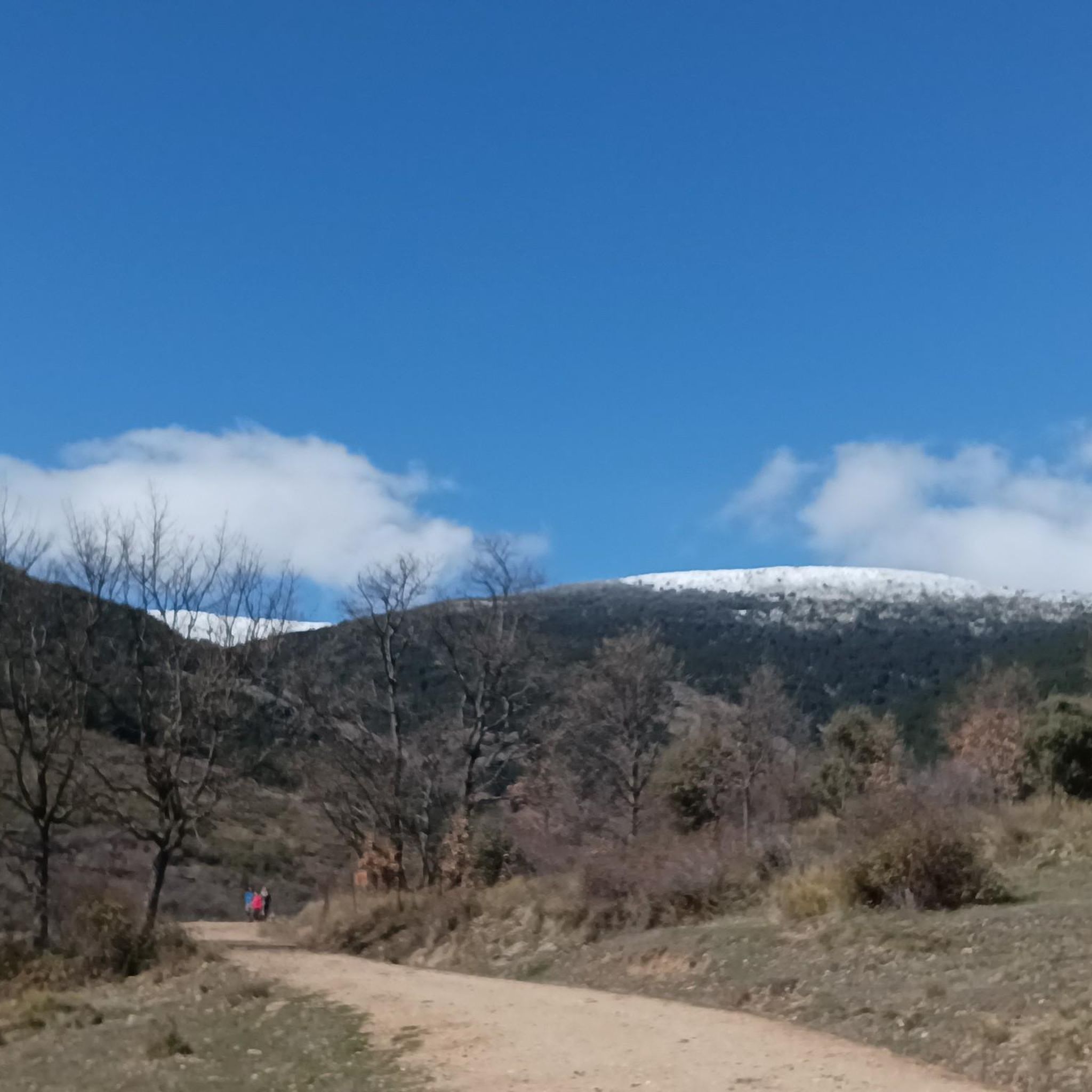
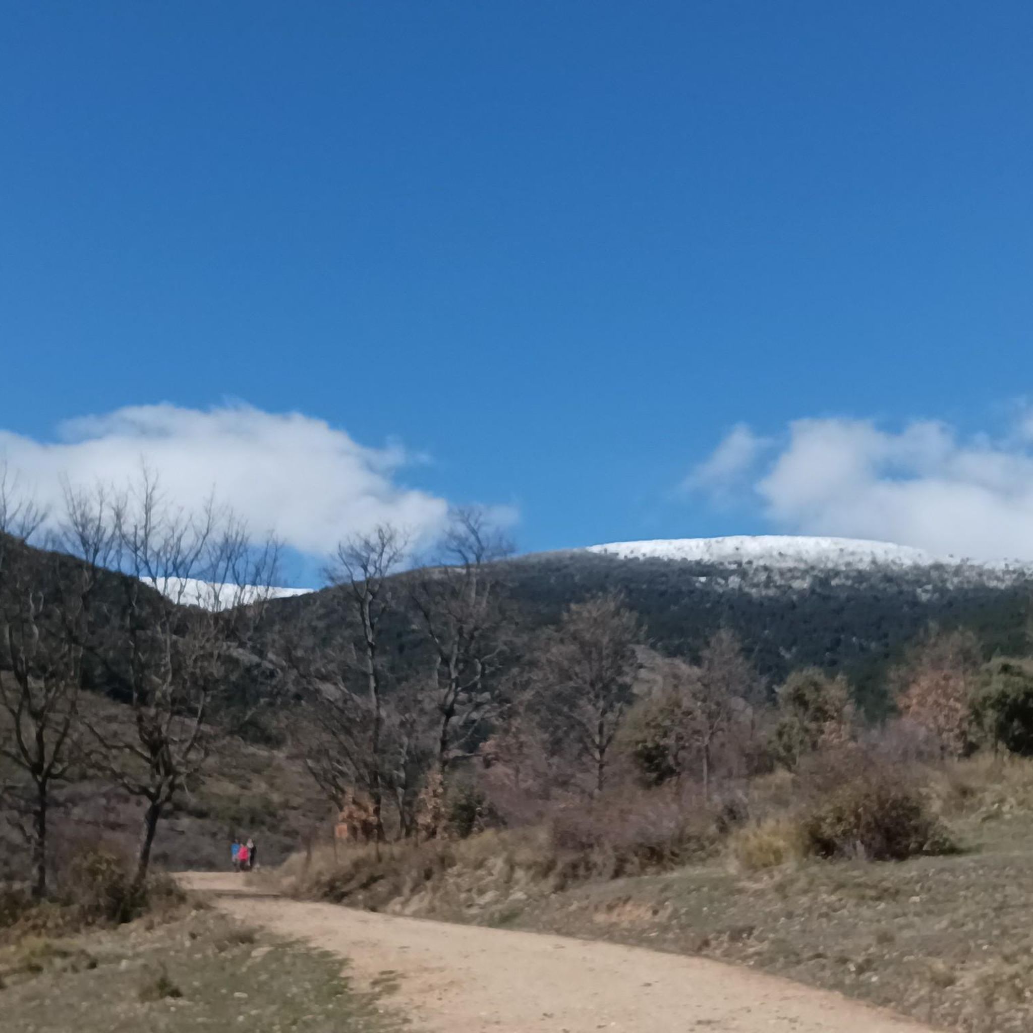
start of the route to the peak of the snowfield
0
0

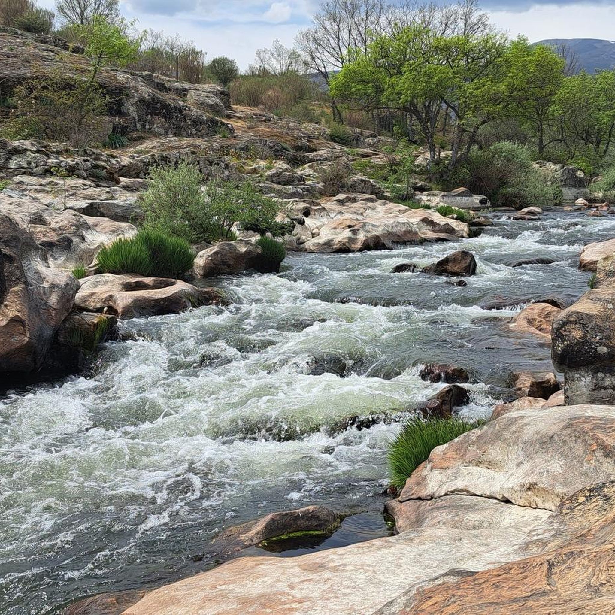
Natural passage between Madrid and Segovia in La Sierra de Guadarrama. Nature in vein!
0
0
The Port of Navafría is one of the entrances to the famous Horizontal runway that connects this port with the historic port of Somosierra. The Port of Navafría is located between the municipalities of Lozoya and Navafría. With its 1,773 meters above sea level, it is considered a first-class port in the “Cycling Tour of Spain”. This natural area is made up of a lush oak forest in the lower part and a beautiful pine forest in the upper part.
0
0
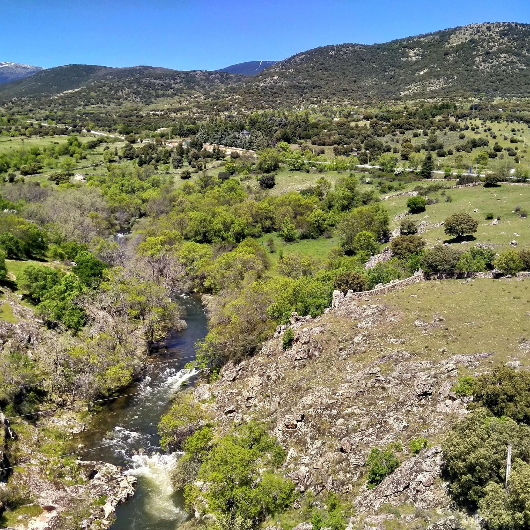
Beautiful town in La Sierra de Madrid with extraordinary landscapes. We recommend this town and its surroundings to isolate yourself from the world.
0
1

The cycling breakfast is totally recommended!
0
0
Accommodation in the Sierra Norte of Madrid, an idyllic environment for active tourism and cycling tourism. With spa, gym, restaurant, terrace. Ideal for a coffee stop or to spend the night during a bike trip.
0
0
Frequently Asked Questions
What kind of terrain can I expect on road cycling routes in Navarredonda y San Mamés?
The road cycling routes in Navarredonda y San Mamés traverse diverse landscapes within the Sierra Norte de Madrid and Sierra de Guadarrama National Park. You can expect high mountain zones, extensive pine forests, and the verdant Lozoya Valley. This mix results in demanding ascents and scenic routes with varied terrain, including mountain passes and views of reservoirs.
Are there road cycling routes for different skill levels in the region?
Yes, the region offers a network of routes with different difficulty levels, catering to a wide range of cyclists. There are 3 easy routes, 22 moderate routes, and 19 difficult routes available, ensuring options for beginners to advanced riders.
What natural features or landmarks can I see while road cycling in the area?
While cycling, you can encounter several notable natural features and landmarks. These include the striking Chorrera de San Mamés waterfall, the panoramic views from Nevero Peak, and the scenic Puerto de Linera mountain pass. You'll also find various reservoirs like the Pinilla Reservoir Viewpoint and the Puentes Viejas Dam.
Are there any circular road cycling routes available?
Yes, many routes in the area are designed as loops. For example, the difficult Plaza de España, Rascafría – Cotos Pass loop and the moderate Canencia Pass – Taboada Viaduct loop are popular circular options, allowing you to start and end at the same point.
What is the best time of year for road cycling in Navarredonda y San Mamés?
The Sierra de Guadarrama National Park, which encompasses Navarredonda y San Mamés, offers recreational opportunities year-round. However, for road cycling, spring and autumn generally provide the most pleasant weather with moderate temperatures. Summer can be warm, especially at lower elevations, while winter may bring colder temperatures and snow at higher mountain passes.
Is there parking available for cyclists in Navarredonda y San Mamés?
While specific parking areas for cyclists are not detailed, the region is known for its outdoor activities, suggesting that parking facilities are available in and around the main towns and trailheads. It's advisable to check local information for designated parking spots near your chosen starting point.
How can I reach Navarredonda y San Mamés by public transport with my bike?
Public transport options to Navarredonda y San Mamés typically involve bus services from Madrid. Policies regarding bikes on public transport can vary, so it's recommended to check with the specific bus operator for their regulations on carrying bicycles before planning your journey.
Are there family-friendly road cycling routes in the area?
While road cycling routes are generally more challenging, the region does offer some easier options. There are 3 easy-rated routes that might be more suitable for families or those looking for a less strenuous ride. These routes typically feature less elevation gain and shorter distances.
What do other road cyclists enjoy most about road cycling in Navarredonda y San Mamés?
The area is highly rated by the komoot community, with an average score of 4.6 stars from over 32 reviews. Cyclists often praise the challenging climbs, breathtaking scenery, and the variety of landscapes, from high mountain zones to extensive pine forests and the verdant Lozoya Valley. The well-maintained, low-traffic roads are also a significant draw.
Can I cycle past any reservoirs on the routes?
Yes, several routes offer views of or pass by reservoirs. For instance, the La Serna del Monte – Puentes Viejas Dam loop leads through varied landscapes including the Puentes Viejas Dam. Another route, Buitrago de Lozoya – El Villar Reservoir and Gorge loop, provides views of the El Villar Reservoir.
What is the typical elevation profile for road cycling routes here?
The region is characterized by high mountain zones, so you can expect significant elevation changes. Routes often feature demanding ascents and descents. For example, the difficult Plaza de España, Rascafría – Cotos Pass loop has an elevation gain of over 980 meters, while the moderate Canencia Pass – Taboada Viaduct loop includes nearly 700 meters of ascent.
Most popular routes around Navarredonda Y San Mamés
Most popular attractions around Navarredonda Y San Mamés

Get inspired with the komoot mobile app


Explore more
Browse the best Road cycling routes in other regions.
