The best walks and hikes around Garganta De Los Montes
4.6
(698)
4,190
hikers
220
hikes
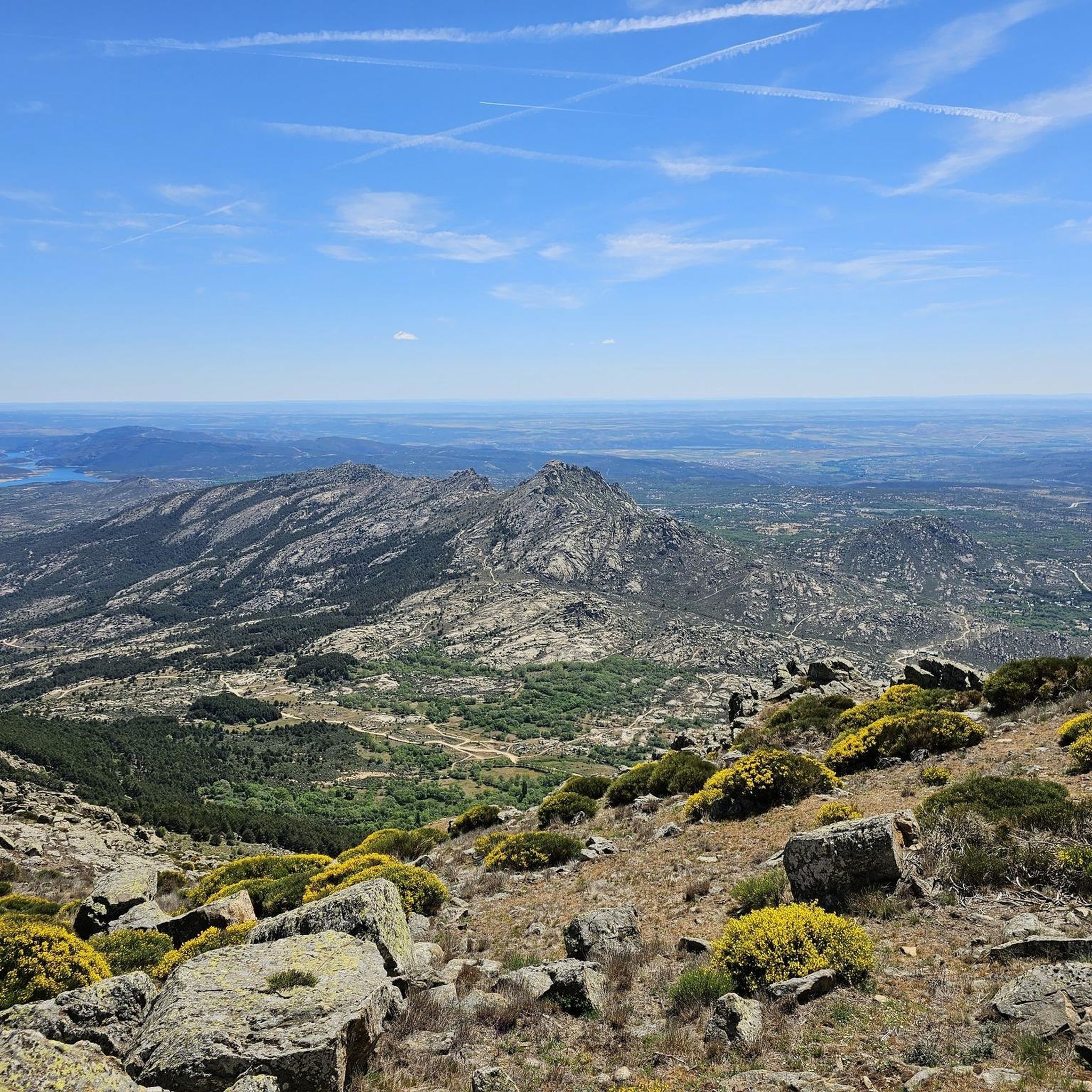
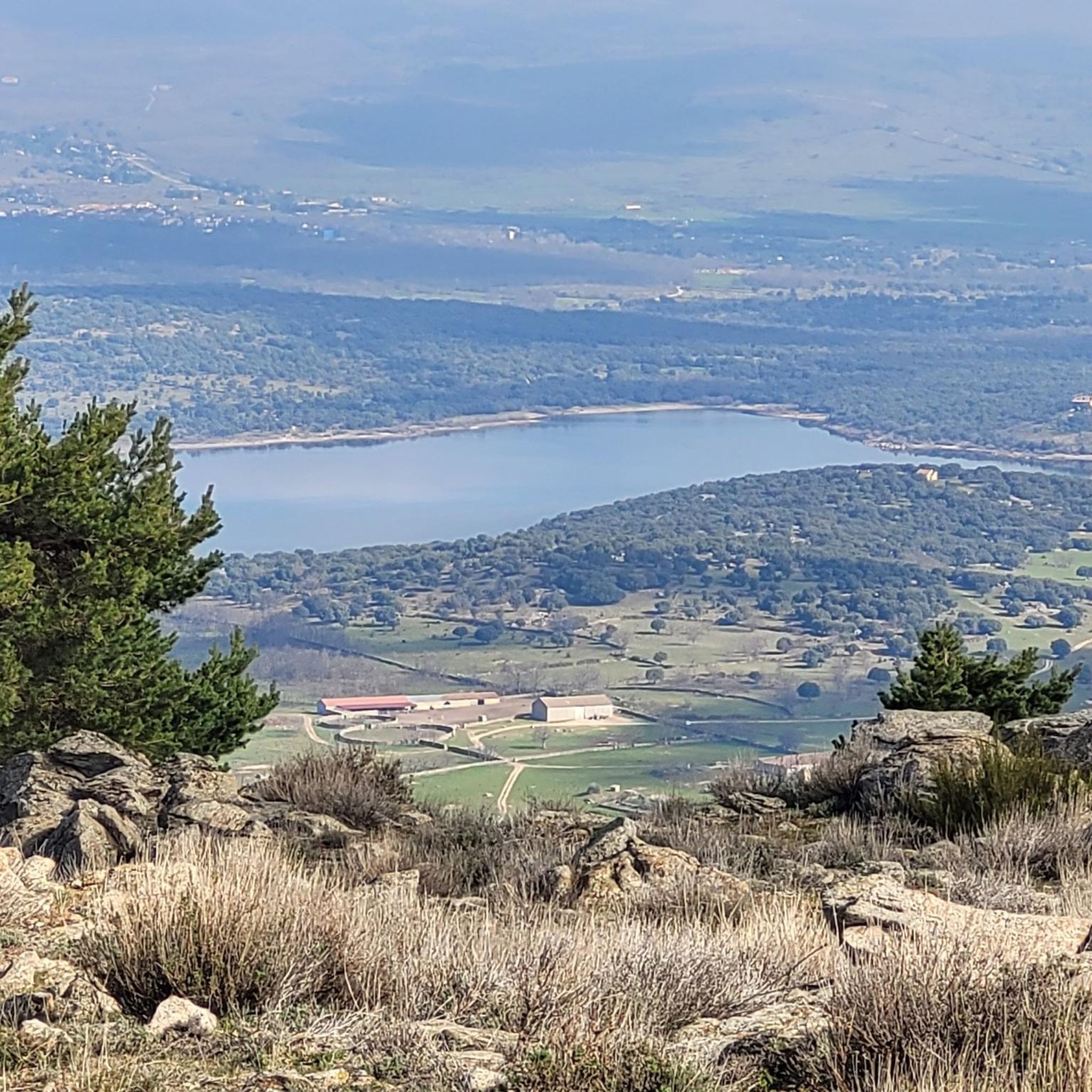
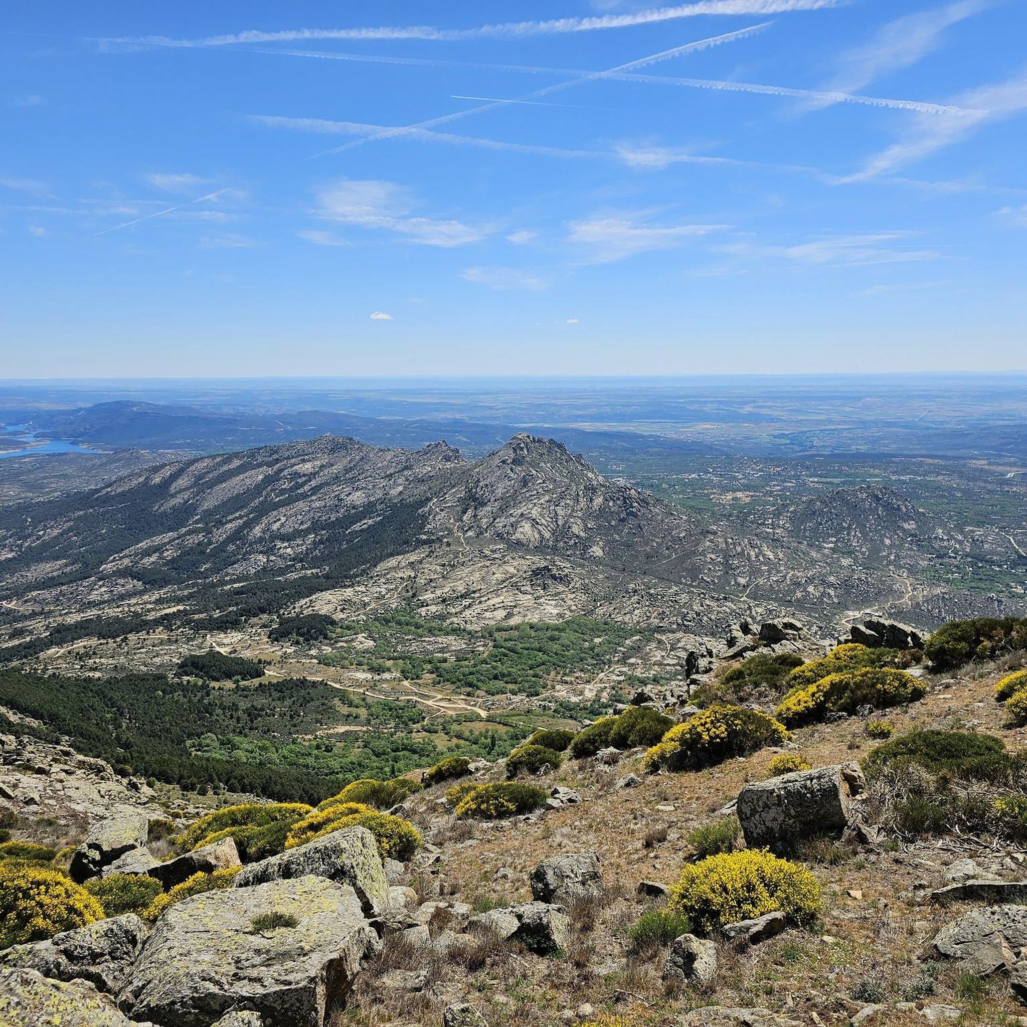
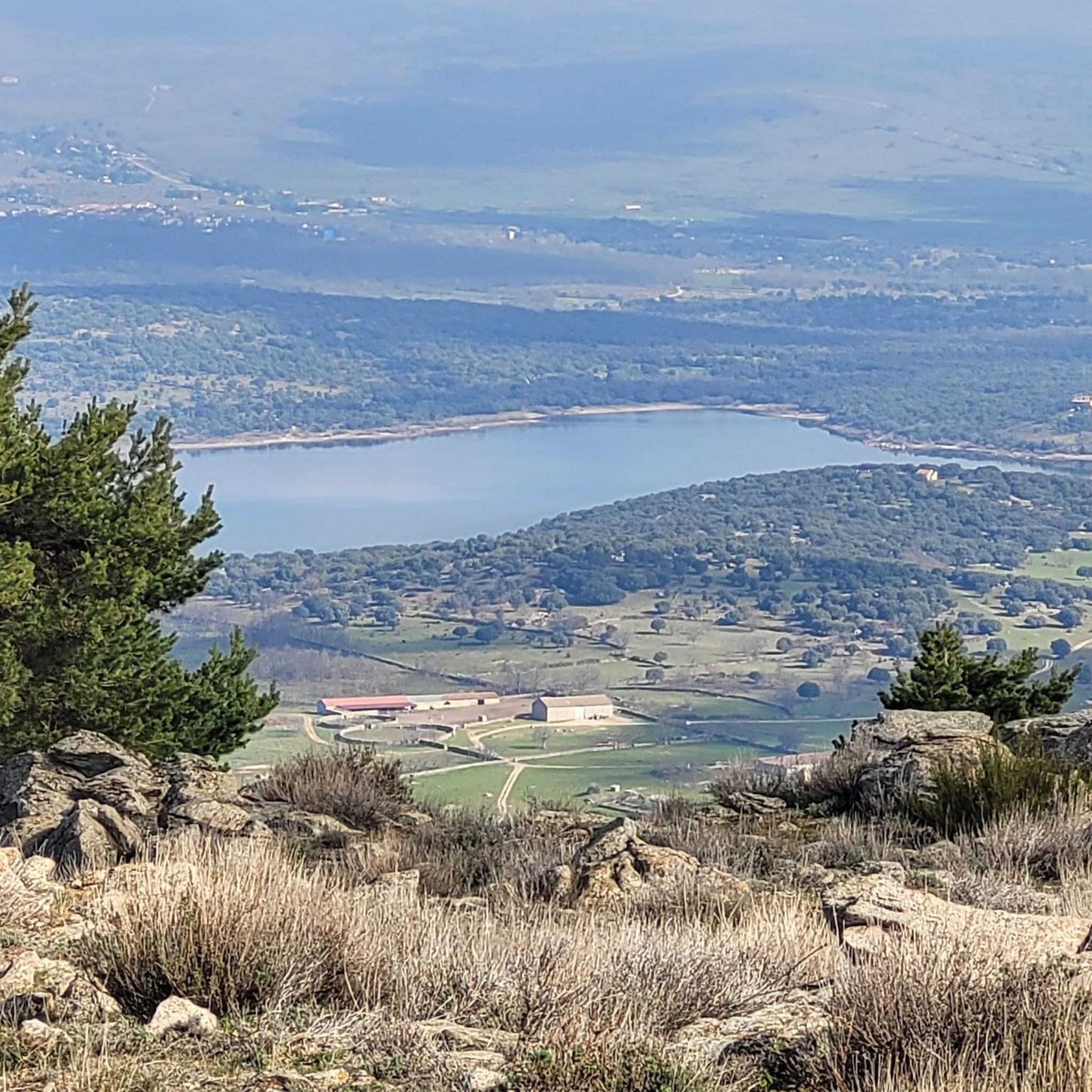
Hiking around Garganta De Los Montes offers access to the diverse landscapes of the Lozoya Valley and the Sierra de Guadarrama National Park. The region features expansive oak and pine forests, meadows, and rocky terrain at higher elevations. The clean waters of the Lozoya River and the Riosequillo Reservoir define the northern edge, while the Mondalindo Summit rises to over 1,800 meters in the south. This area provides a variety of natural environments for outdoor exploration.
Best hiking trails around…
Last updated: July 7, 2026
2
hikers
Hard hike. Very good fitness required. Easily-accessible paths. Suitable for all skill levels.
1.0
(1)
2
hikers
21.6km
06:18
500m
500m
Hard hike. Very good fitness required. Mostly accessible paths. Sure-footedness required.

Sign up for free
4.9
(7)
53
hikers
14.0km
03:44
160m
160m
Moderate hike. Good fitness required. Easily-accessible paths. Suitable for all skill levels.
3.0
(1)
5
hikers
15.9km
04:22
260m
260m
Moderate hike. Good fitness required. Easily-accessible paths. Suitable for all skill levels.
4.7
(3)
21
hikers
13.4km
03:35
160m
160m
Moderate hike. Good fitness required. Easily-accessible paths. Suitable for all skill levels.
Get access to more routes and recommendations from other explorers.
Sign up for free
Already have an account?
Our route recommendations are based on thousands of hikes, rides, and runs completed by other people on komoot.
Start today with a free account
Your next adventure awaits.
Login or Signup

Tips from the Community

Beautiful place and beautiful river, with water, as it was flowing today.
0
0

A beautiful stone bridge. The climb afterward is quite rocky, and you'll have to walk for a bit.
0
0
Stone bridge that crosses the Lozoya River near its passage through the Pinilla reservoir.
0
0

Congos Bridge over the Lozoya River, hearing the water flow, nothing more
0
0

nice easy route, to repeat!
0
0
beautiful bridge over the Lozoya River
0
0
Frequently Asked Questions
How many hiking trails can I explore around Garganta De Los Montes?
There are over 220 hiking routes available in the Garganta De Los Montes area, catering to various skill levels. You'll find everything from easy walks to challenging mountain ascents.
What kind of terrain and landscapes can I expect on hikes in Garganta De Los Montes?
The region offers diverse landscapes, including expansive oak and pine forests, meadows, and rocky terrain at higher elevations. You'll encounter the clean waters of the Lozoya River and the scenic Riosequillo Reservoir, which define the northern edge of the area. Towards the south, the imposing Mondalindo Summit rises to over 1,800 meters.
Are there any easy, family-friendly hiking options in Garganta De Los Montes?
Yes, Garganta De Los Montes offers 27 easy routes suitable for families or those seeking a relaxed walk. Many trails lead through picturesque forests and along riverbanks, providing gentle gradients and beautiful scenery.
Where can I find challenging hikes in Garganta De Los Montes?
For experienced hikers seeking a challenge, the area features 41 difficult routes. One notable option is the Gorge of the Mountains – Mondalindo Summit loop from Garganta de los Montes, which involves a significant ascent to the Mondalindo Summit, offering rewarding views.
Are there any circular hiking routes in Garganta De Los Montes?
Yes, many routes in Garganta De Los Montes are circular. A popular option is PR-M 29: Garganta de los Montes to Canencia Loop, which connects Garganta de los Montes with Canencia, offering varied terrain and views on a 21.6 km path.
What natural landmarks or viewpoints can I see while hiking?
Hikers can discover several natural landmarks. The Mojonavalle Forest is known for its dense Scots pine trees. You can also explore the El Villar Reservoir and Gorge, or ascend to the Mondalindo Summit for panoramic views of the region.
What do other hikers say about the trails in Garganta De Los Montes?
The hiking routes in Garganta De Los Montes are highly rated by the komoot community, with an average score of 4.7 stars from over 650 reviews. Hikers often praise the diverse ecosystems, quiet woodlands, and the well-maintained paths that offer a variety of experiences.
Is it possible to reach the hiking trails using public transport?
Garganta De Los Montes is accessible by public transport, with bus services connecting it to Madrid and other towns in the Lozoya Valley. It's advisable to check local bus schedules in advance to plan your journey to the trailheads.
Are there any routes that follow the Lozoya River?
Yes, the Lozoya River is a prominent feature of the area. You can enjoy routes like the Gariñas Forest – Lozoya River loop from Buitrago del Lozoya, which takes you through the forest and along the riverbanks, offering scenic views of the water.
What is the best time of year to hike in Garganta De Los Montes?
Garganta De Los Montes offers beautiful hiking experiences throughout the year. Spring brings lush greenery and wildflowers, while autumn transforms the forests with vibrant colors. Summer is ideal for higher altitude trails, and even winter can be picturesque, though some routes may require appropriate gear for snow or ice.
Are there any historical or cultural points of interest in the village of Garganta De Los Montes?
Yes, the village of Garganta De Los Montes itself retains traditional architecture. You can visit historical buildings such as the 15th-century Church of San Pedro, offering a cultural experience after a day of outdoor activity.
Most popular routes around Garganta De Los Montes
Most popular attractions around Garganta De Los Montes

Get inspired with the komoot mobile app


Explore more
Browse the best Hikes in other regions.
