The best running trails around Bustarviejo
4.6
(22)
977
runners
30
runs
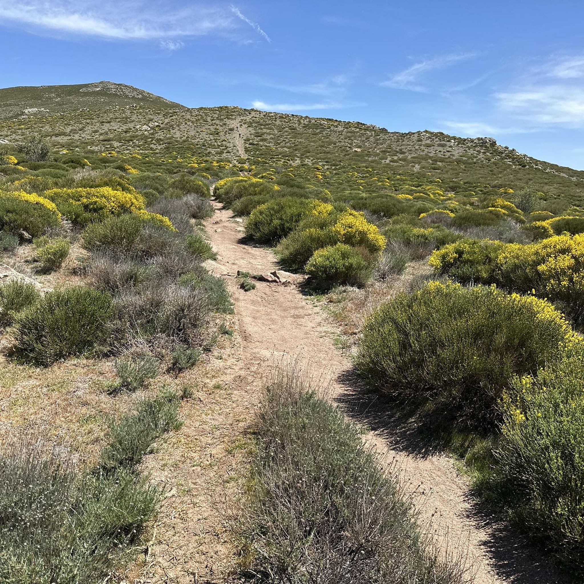
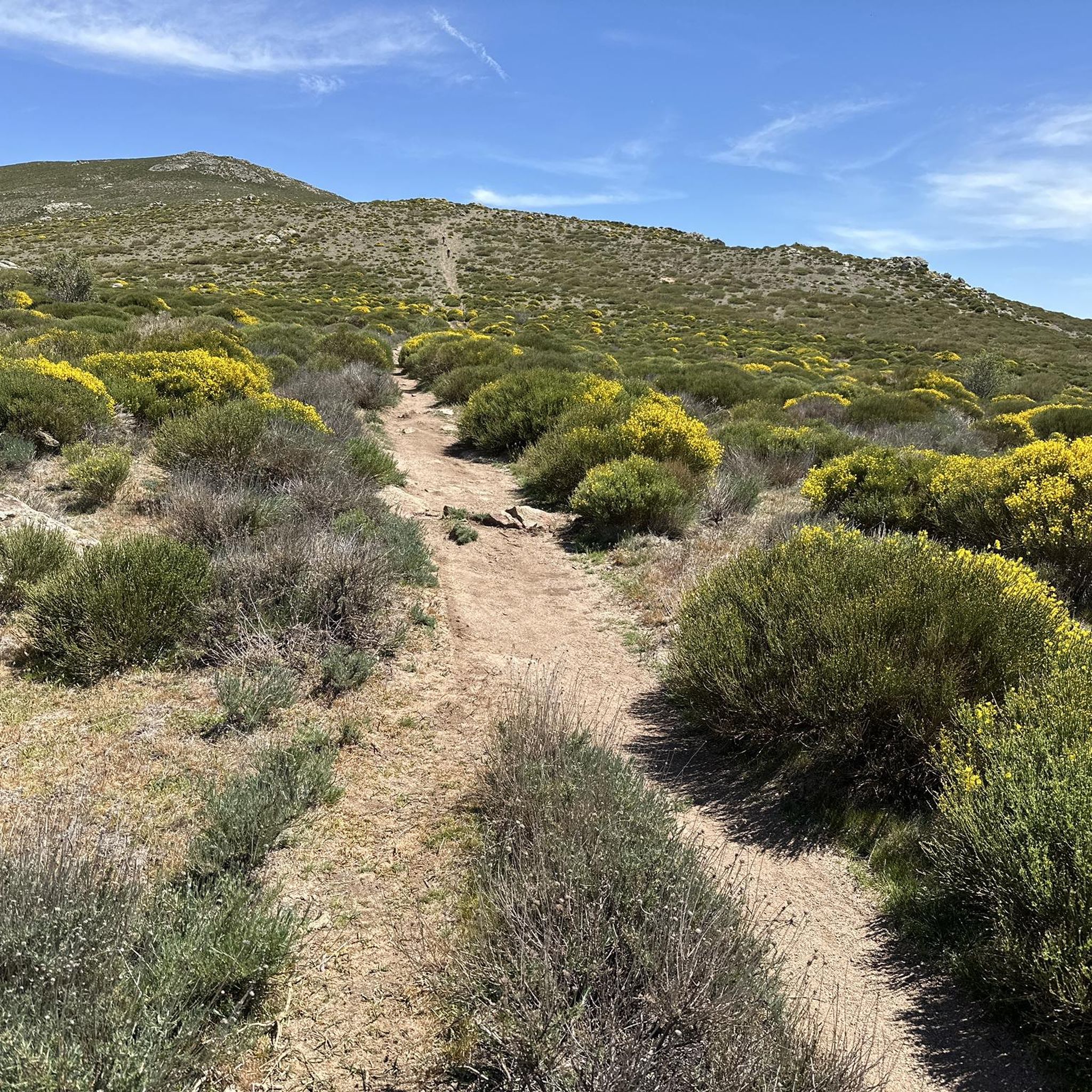
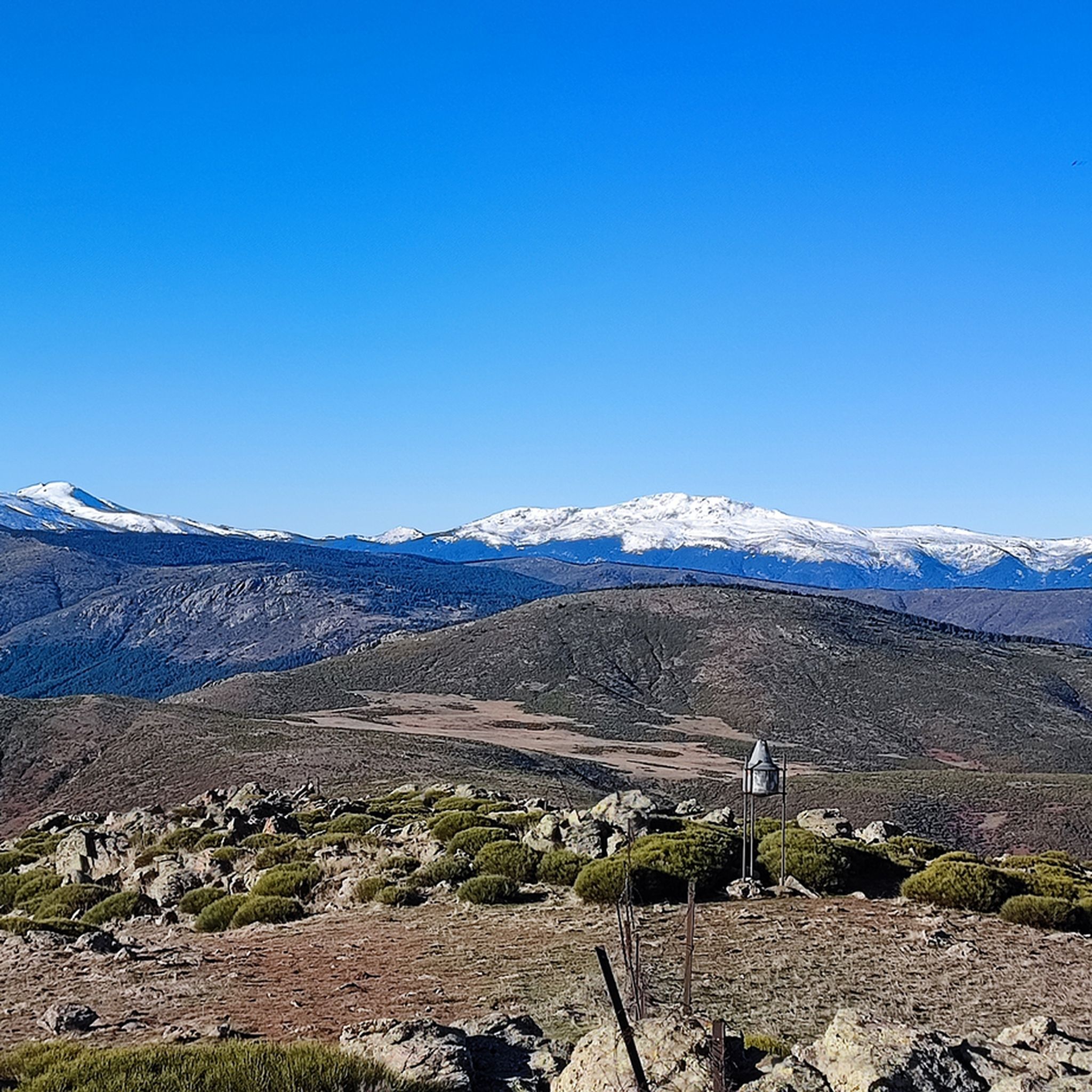
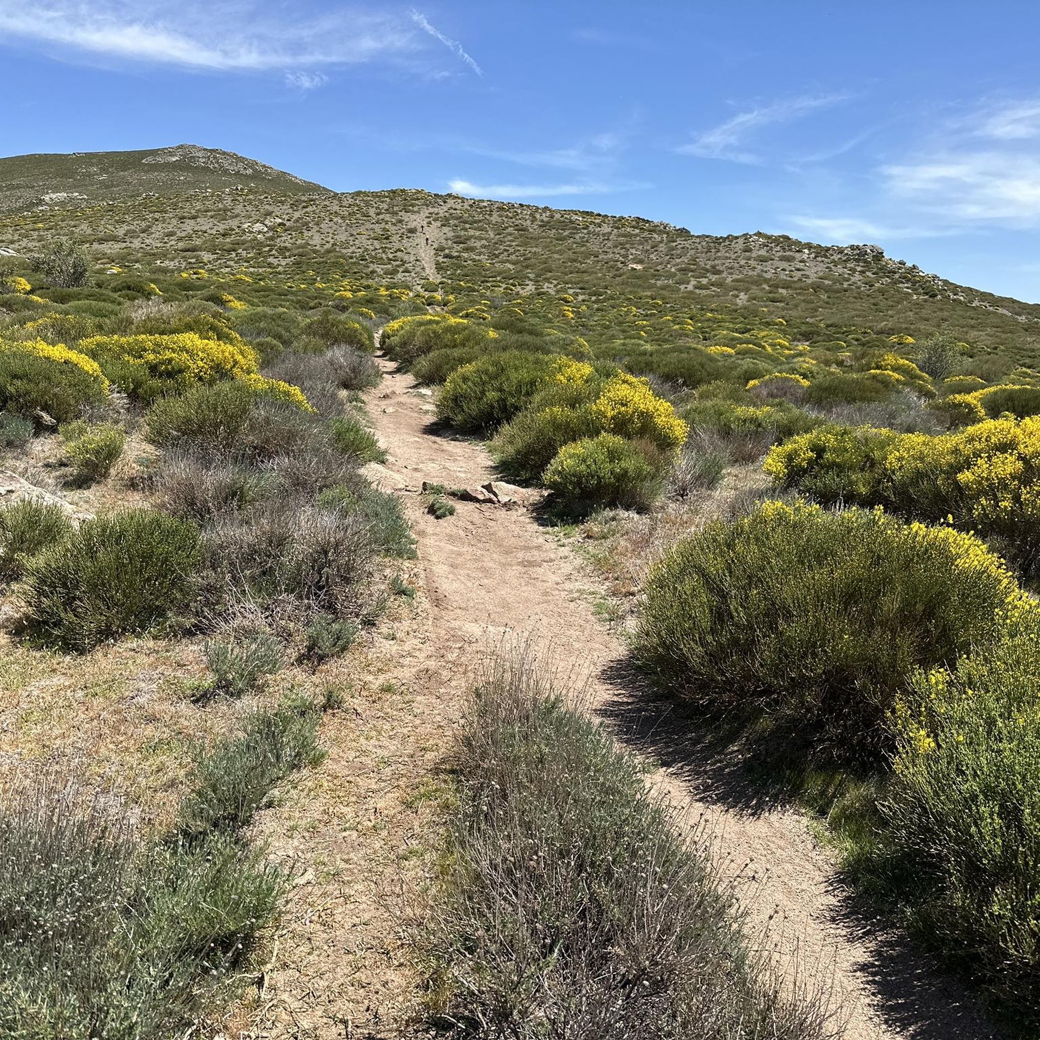
Jogging routes around Bustarviejo are set within the Sierra de Guadarrama in Madrid's Northern Sierra, offering diverse landscapes for runners. The region features mountainous terrain with prominent peaks like Pico Mondalindo and Pico del Marraz, alongside verdant valleys and extensive pine and oak forests. Characteristic granite formations are also present, providing varied surfaces and scenic viewpoints for running.
Best jogging routes around Bustarviejo
- The most popular jogging route is La Albardilla loop from Bustarviejo, a 6.4 miles (10.3 km)…
Last updated: November 1, 2026
88
runners
16.9km
02:50
810m
810m
Hard run. Very good fitness required. Sure-footedness, sturdy shoes and alpine experience required.
3.0
(2)
21
runners
18.7km
02:07
350m
350m
Hard run. Very good fitness required. Mostly paved surfaces.

5.0
(2)
17
runners
12.6km
02:09
700m
700m
Hard run. Very good fitness required. Sure-footedness, sturdy shoes and alpine experience required.
5.0
(2)
17
runners
10.4km
01:12
170m
170m
Moderate run. Good fitness required. Mostly paved surfaces.
6
runners
22.1km
02:41
470m
470m
Hard run. Very good fitness required. Sure-footedness, sturdy shoes and alpine experience required.
Get access to more routes and recommendations from other explorers.
Already have an account?
Our route recommendations are based on thousands of hikes, rides, and runs completed by other people on komoot.
Start today with a free account
Your next adventure awaits.
Tips from the Community

The water of the rich of Madrid. Shade and beware of a lot of traffic on weekends
0
0

This large pine forest is located within the municipality of Canencia and is easily accessible via forest tracks from the Canencia Pass, coming from the south (Miraflores de la Sierra and Madrid) or from the north (Canencia in the Lozoya Valley). It can also be reached via a longer approach from the M-611 road through the Collado del Hontanar pass (1,731 m).
1
0
The waterfall is tall and very beautiful; it's best visited after a period of heavy rain or when there's snow in the area. It's located within the municipality of Canencia and is easily accessible via forest tracks from the Canencia Pass, coming from the south (Miraflores de la Sierra and Madrid) or from the north (Canencia in the Lozoya Valley). A longer approach is also possible from the M-611 via the Collado del Hontanar pass (1,731 m). If you approach the waterfall from its eastern side, be very careful of slipping, as it could be fatal. The ground is often wet and even icy in autumn and winter.
0
0

It is located in the Sierra de Guadarrama mountain range, between the municipalities of Miraflores de la Sierra and Rascafría, in the Community of Madrid. From Miraflores de la Sierra (1200m), the route ascends approximately 600m over 10km (average gradient 4–6%), and after reaching the summit, it descends 13km to Rascafría (1150m) with a gradient of 4.5–7%.
6
0

Good water and the place is beautiful. A bit crowded if you're right next to it.
1
0

Curious place before arriving at Bustarviejo.
0
0

Recommended place to visit in autumn and spring
0
0
A very beautiful walk through pines, yews and birches and with this spectacular waterfall.
0
0
Frequently Asked Questions
How many running routes are available in Bustarviejo?
Bustarviejo offers a wide selection of over 30 running routes, catering to various preferences. While most are considered difficult, there are a few moderate options for those seeking a less strenuous run.
Are there any easy or beginner-friendly jogging trails in Bustarviejo?
Most of the running routes in Bustarviejo are rated as difficult due to the mountainous terrain of the Sierra de Guadarrama. However, there are 3 moderate trails that might be more suitable for beginners or those looking for a less challenging run. You can explore these options on komoot to find one that fits your fitness level.
What kind of terrain can I expect on the jogging routes around Bustarviejo?
The terrain in Bustarviejo is highly varied, ranging from winding paths through verdant valleys to rugged mountainous trails. You'll encounter characteristic granite formations, pine and oak forests, and areas with sparse vegetation, providing a diverse and engaging running experience.
Are there any circular running routes in Bustarviejo?
Yes, many of the running routes in Bustarviejo are circular, allowing you to start and finish in the same location. For example, the challenging La Albardilla loop from Bustarviejo is a popular circular option, covering 10.3 km through varied mountain terrain.
What are some scenic viewpoints or natural features to look out for on the trails?
Bustarviejo is rich in natural beauty. You can enjoy panoramic views from peaks like Pico Mondalindo, or explore areas with granite boulders, especially around the Hermitage of San Blas. The region also features natural springs and diverse forests of pines, ash, and rebollos. The Canencia Pass also offers incredible landscapes.
Are there any running routes that pass by waterfalls?
While the immediate guide routes don't explicitly mention waterfalls, the broader region around Bustarviejo is known for its hydrographic network. You can find several waterfalls nearby, such as the Purgatory Waterfall, which might be accessible via extended routes or dedicated hiking trails in the area.
What do other runners say about the trails in Bustarviejo?
The running routes in Bustarviejo are highly rated by the komoot community, with an average score of 4.7 stars from over 16 reviews. Runners often praise the challenging ascents, panoramic mountain views, and the diverse natural landscapes of the Sierra de Guadarrama.
Can I bring my dog on the running trails in Bustarviejo?
The Sierra de Guadarrama region is generally dog-friendly, with many trails suitable for running with your canine companion. However, it's always advisable to check local regulations, especially within protected natural areas, and keep your dog on a leash where required to protect wildlife and ensure safety.
Are there any historical sites or landmarks I can see while running?
Yes, the area has some interesting historical elements. You can find the historic silver mines, including the 17th-century Torre del Indiano. The Hermitage of San Blas, a small stone hermitage set amidst large granite stones, also offers a tranquil and scenic spot during a run.
What is the longest running route available in Bustarviejo?
One of the longer and more challenging options is the Mondalindo Summit – Mondalindo Rock loop from Bustarviejo, which spans nearly 20 km (19.8 km) and involves significant elevation changes, typically taking around 3 hours and 32 minutes to complete.
Are there any running routes suitable for families with children?
While many routes are difficult, the region's diverse trail network likely includes shorter, less strenuous paths that could be suitable for families. Look for the moderate-rated trails, which offer a gentler experience through the valleys and forests, providing a good option for a family outing.
Is public transport available to access the running trails in Bustarviejo?
Bustarviejo is a town in the Sierra Norte of Madrid, and it is generally accessible by public transport from Madrid. However, specific access points to individual trailheads might require a short walk from bus stops. It's recommended to check local bus schedules and routes to plan your journey.
Where can I find parking for the running trails?
As a popular outdoor destination, Bustarviejo typically offers parking facilities within or near the town center, which serve as common starting points for many trails. Specific trailheads might also have designated parking areas, but it's advisable to check maps or local information for the most convenient spots for your chosen route.
Most popular routes around Bustarviejo
Most popular attractions around Bustarviejo

Get inspired with the komoot mobile app


Explore more
Browse the best Running Trails & Routes in other regions.
