The best mountain hikes around Yaiza
6
hikers
3
hikes
Mountaineering routes around Yaiza traverse a unique volcanic landscape, characterized by dramatic coastlines, ancient massifs, and numerous volcanic peaks. The region, including parts of Timanfaya National Park and Los Ajaches Natural Monument, presents an extraordinary "lunar landscape" sculpted by past eruptions. Mountaineers can explore lava fields, volcanic tubes, and rugged cliffs, offering challenging ascents and panoramic views across the Atlantic Ocean. This terrain provides a diverse network of trails for various fitness levels.
Best mountaineering routes around Yaiza
- The most…
Last updated: July 1, 2026
3
hikers
13.9km
04:22
540m
540m
Moderate mountaineering route. Good fitness required. Mostly accessible paths. Sure-footedness required.
2
hikers
Moderate mountaineering route. Great for any fitness level. Mostly accessible paths. Sure-footedness required.

Sign up for free
1
hikers
Moderate mountaineering route. Good fitness required. Easily-accessible paths. Suitable for all skill levels.
Our route recommendations are based on thousands of hikes, rides, and runs completed by other people on komoot.
Start today with a free account
Your next adventure awaits.
Login or Signup


Tips from the Community

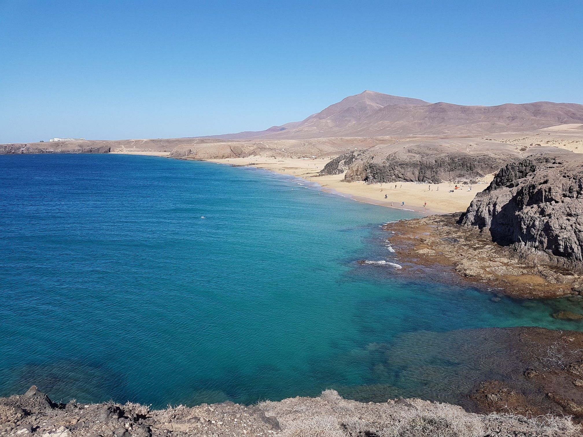
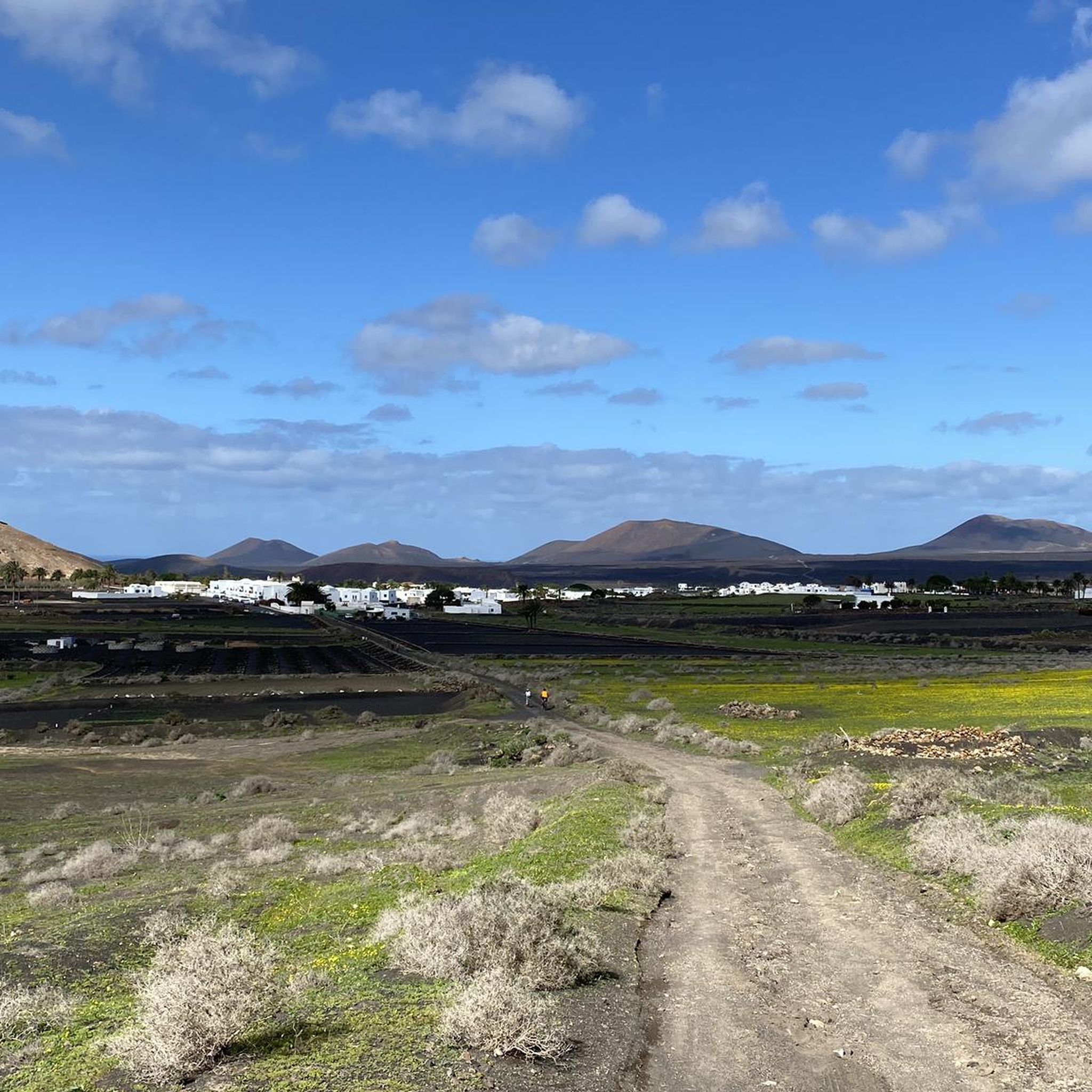
It's unbelievable how colorful this barren landscape can be
0
1
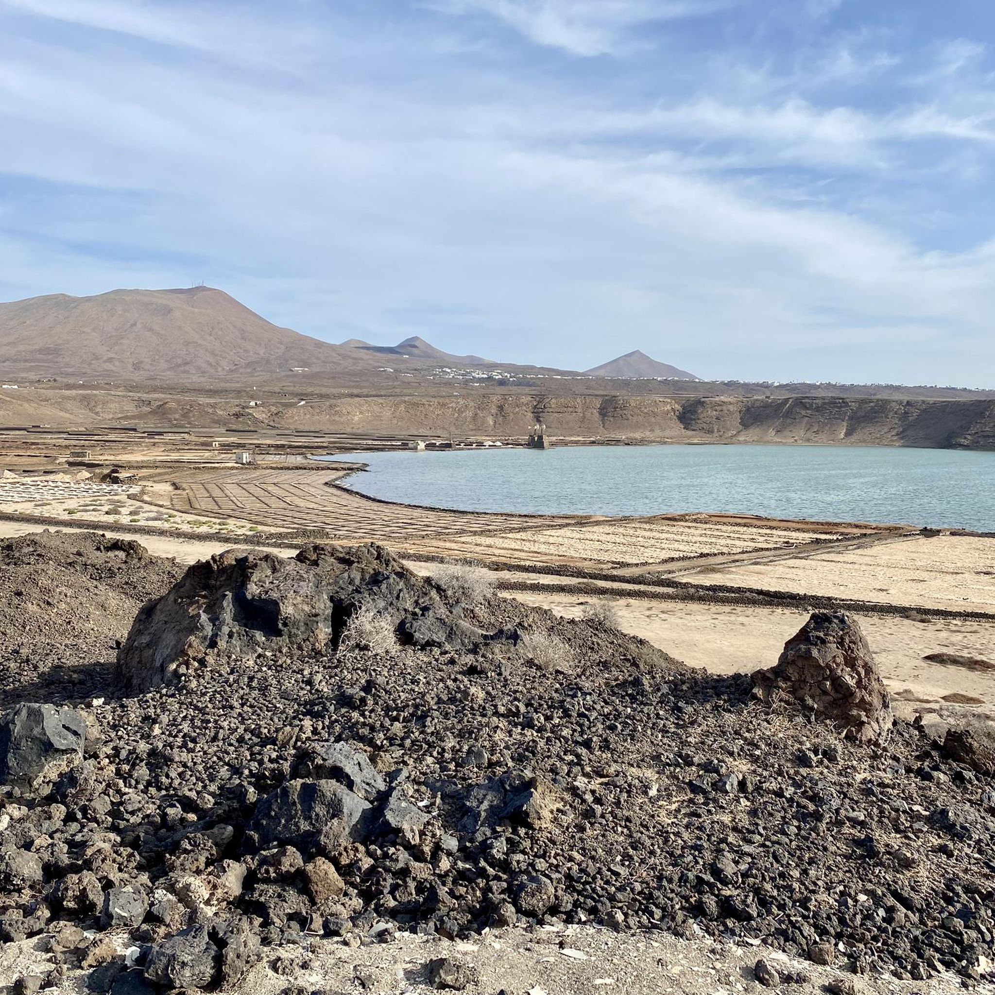
Nicely landscaped garden in a bay that invites you to swim
1
0

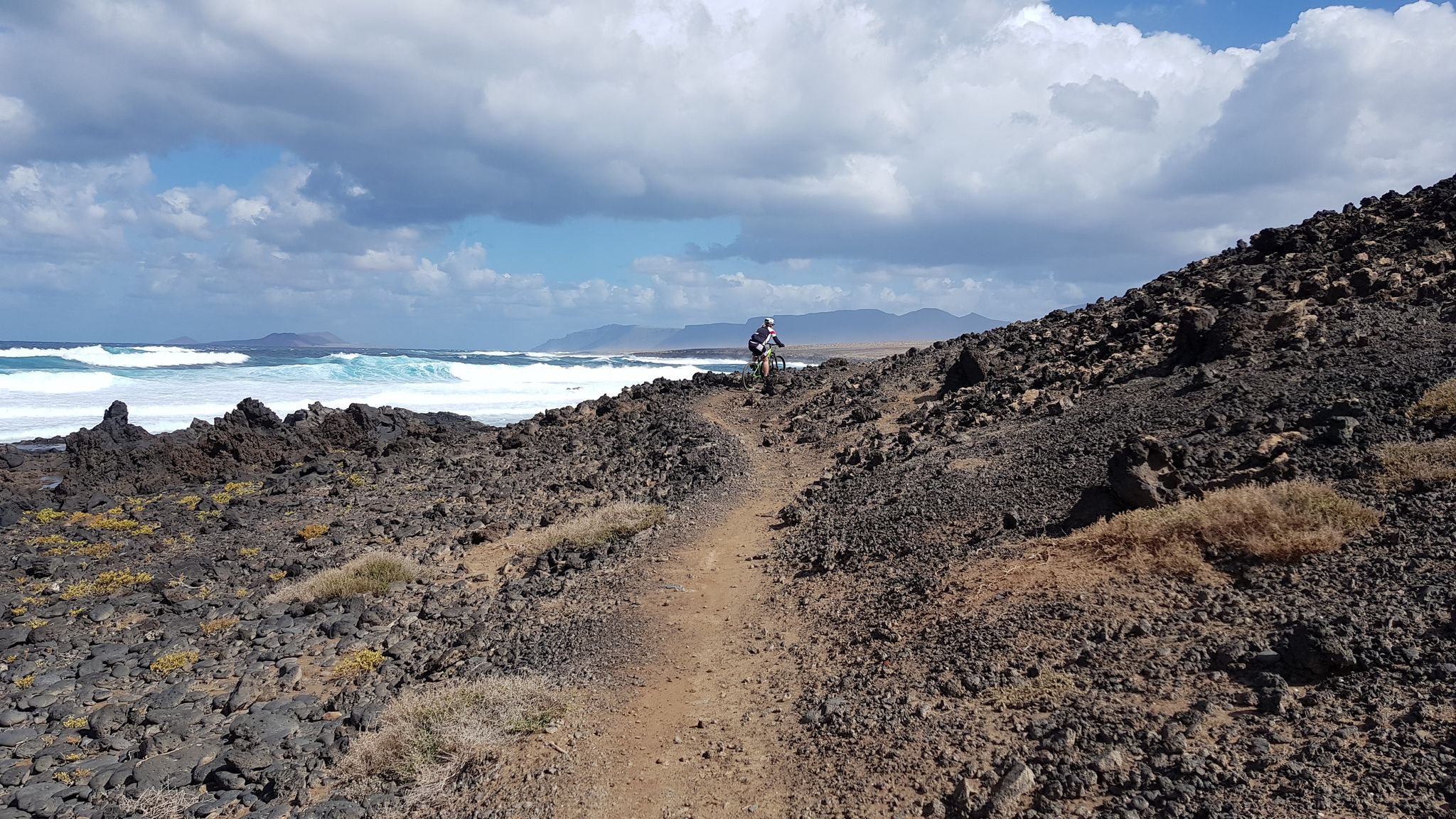
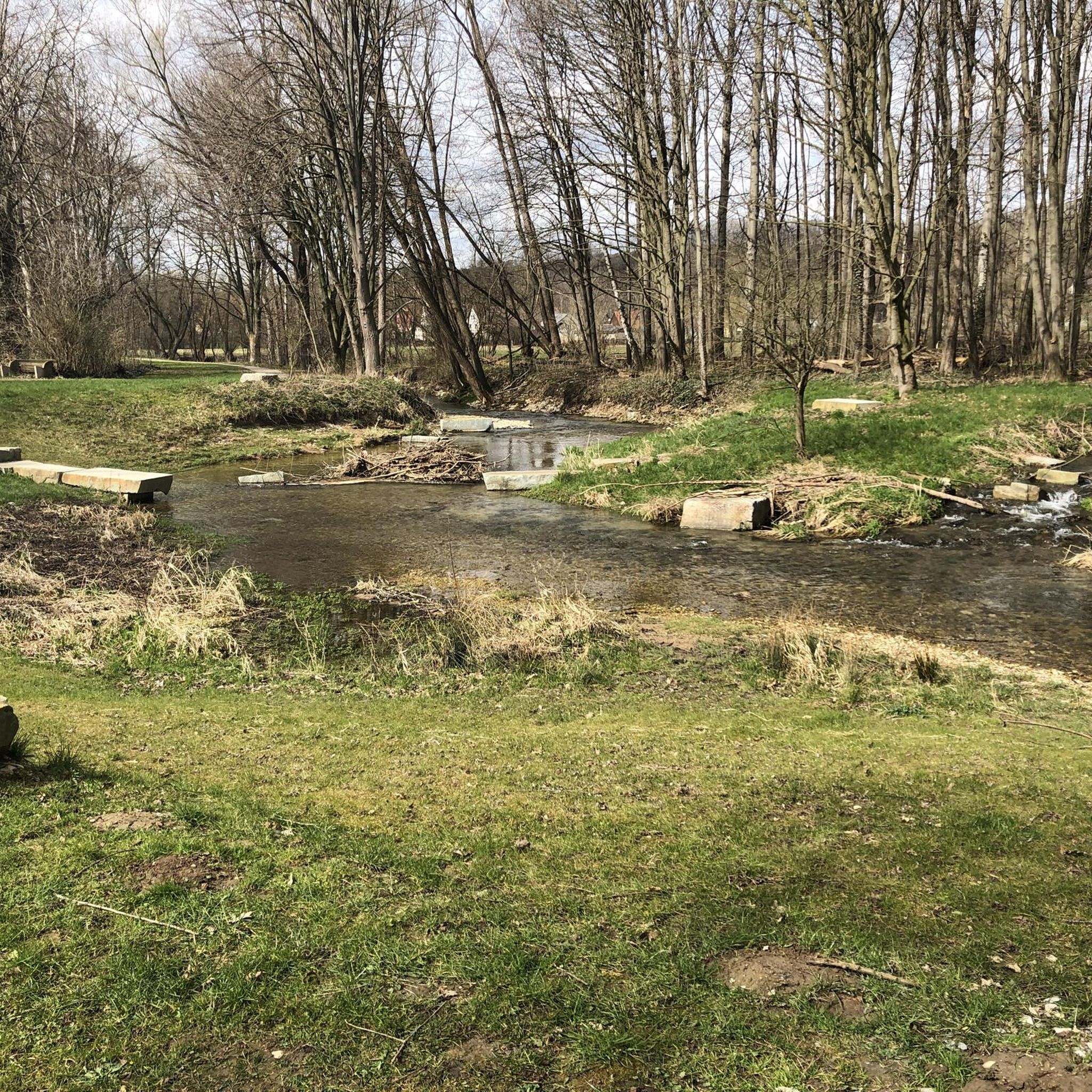
Such a picturesque footbridge with its surroundings and a switchbacks oncoming
0
0

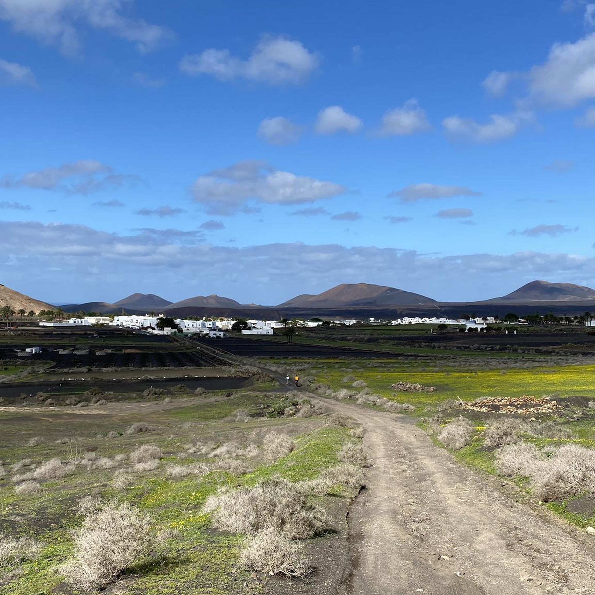
Traditional, but not effective, Lanzarote now uses a straight-line cultivation method, which can lead to a tenfold increase in the number of vines.
0
0
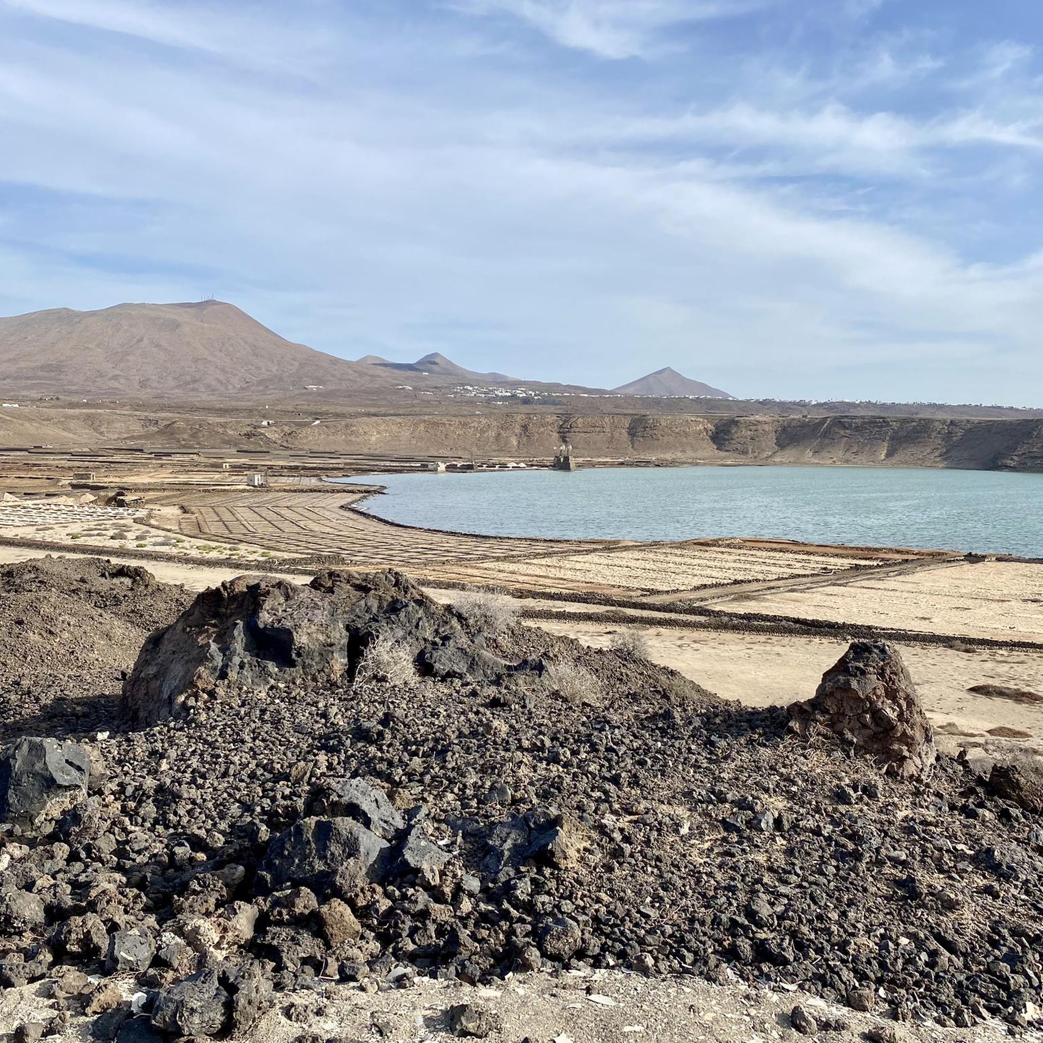
One of the largest quarries on Lanzarote for the extraction of lava sand and gravel
0
0
This ruin is located on the 'Camino natural de Lanzarote' between 'La Florida' and the volcano 'Montaña Guatisea'
0
0
The 'Montaña Tamia' volcano is clearly visible from just ten kilometers away
0
0
For centuries, the vines were grown close to the ground in circular natural stone walls that were intended to protect the grapes from the wind. However, the management was extremely labor-intensive. In some cases ladders had to be used to access the grapes for tending and harvesting. Straight-line cultivation methods are now increasingly being used. Natural stone masonry is only used as natural protection on the 'weather side'. This makes the work much easier.
0
0
Frequently Asked Questions
What kind of terrain can I expect on mountaineering routes around Yaiza?
Mountaineering routes in Yaiza traverse a unique volcanic landscape, featuring dramatic coastlines, ancient massifs like Los Ajaches, and numerous volcanic peaks. You'll encounter lava fields, volcanic tubes, rugged cliffs, and stony plains, offering challenging ascents and panoramic views across the Atlantic Ocean. The region, including parts of Timanfaya National Park, presents an extraordinary 'lunar landscape' sculpted by past eruptions.
Are there any circular mountaineering routes in Yaiza?
Yes, several mountaineering routes around Yaiza are circular. For example, you can explore the Barranco del Higueral – Cactus Oasis on Pico Redondo loop from Femés, which offers panoramic views of the Los Ajaches massif. Another option is the Ascent to the Summit – Wooden Footbridge on the Trail loop from Faro de Pechiguera, providing coastal and volcanic views. The Montaña Guatisea South Side – View of Montaña Guatisea loop from Guime also offers a circular journey through volcanic landscapes.
What are some unique geological features I can see while mountaineering in Yaiza?
Yaiza is rich in unique geological features. You can explore the 'lunar landscape' of Timanfaya National Park with its lava fields and volcanic tubes. The ancient Los Ajaches Natural Monument showcases dramatic ravines and rugged cliffs. Specific highlights include the impressive Caldera Blanca, the largest volcanic crater in the Canary Islands, and the intriguing Lava Arch. You might also encounter the La Caldereta Crater or the unique Playa del Paso (Black Sand Beach) within Timanfaya.
Are there any easy mountaineering routes suitable for beginners in Yaiza?
While the routes listed in this guide are generally moderate, Yaiza offers a range of trails. For those new to mountaineering, some guided routes within Timanfaya National Park, like shorter versions of the Tremesana Route, are considered easier. It's always recommended to check the specific route details and your fitness level, as even moderate routes in volcanic terrain can be challenging.
What is the best time of year for mountaineering in Yaiza?
Lanzarote generally enjoys a mild climate year-round, making mountaineering possible in most seasons. However, the cooler months from October to May are often preferred to avoid the intense summer heat, especially for longer or more strenuous routes. Strong winds can be a factor at higher elevations, so always check the weather forecast before heading out.
What should I pack for mountaineering in Yaiza's volcanic terrain?
Given the volcanic and often rugged terrain, sturdy footwear with good ankle support is essential. Layers of clothing are advisable due to potential wind and temperature changes. Don't forget sun protection (hat, sunglasses, high-SPF sunscreen), plenty of water, and snacks. A map or GPS device is also recommended, as some trails can be less visible. For routes in Timanfaya National Park, specific permits or guided tours might be required.
Are there any routes that offer panoramic views of the sea and volcanoes?
Absolutely. Many routes in Yaiza provide breathtaking panoramic views. The Barranco del Higueral – Cactus Oasis on Pico Redondo loop from Femés offers expansive views of the Los Ajaches massif and the Atlantic. Ascents to peaks like Montaña Guardilama (not in this guide, but nearby) are known for 360-degree vistas of the sea and surrounding volcanoes. The Coastal Route within Timanfaya also provides spectacular views of the volcanic coastline.
What are the typical distances and durations for mountaineering routes in Yaiza?
The mountaineering routes in Yaiza vary in distance and duration. For instance, the Barranco del Higueral – Cactus Oasis on Pico Redondo loop from Femés is about 14.3 km and takes around 4 hours 28 minutes. A shorter option, the Ascent to the Summit – Wooden Footbridge on the Trail loop from Faro de Pechiguera, covers 5.4 km in about 1 hour 44 minutes. The Montaña Guatisea South Side – View of Montaña Guatisea loop from Guime is 10.7 km and typically takes around 2 hours 59 minutes.
Can I find less crowded mountaineering spots around Yaiza?
While popular areas like Timanfaya National Park can attract many visitors, Yaiza's extensive volcanic landscape and numerous trails offer opportunities for quieter experiences. Exploring routes in the Los Ajaches Natural Monument or lesser-known volcanic peaks can provide a more secluded mountaineering adventure. Early mornings or weekdays are generally the best times to avoid crowds on any trail.
Are there any specific permits required for mountaineering in certain areas?
Yes, specific permits are required for hiking within certain parts of Timanfaya National Park, particularly for routes like the Tremesana Route, which are often guided. It's crucial to check with the park authorities in advance for the latest regulations and to book any necessary permits or guided tours, as access to some areas is restricted to protect the fragile volcanic environment.
What do other mountaineers enjoy most about the routes in Yaiza?
The komoot community highly values the unique volcanic landscapes and the challenging yet rewarding ascents around Yaiza. Reviewers often praise the panoramic views, the distinct 'lunar' scenery, and the opportunity to explore ancient geological formations. The diversity of trails, from coastal paths to volcanic peaks, also receives positive feedback.
Most popular attractions around Yaiza

Get inspired with the komoot mobile app


Explore more
Browse the best Mountain Hikes & Routes in other regions.
