The best road cycling routes around Rascafría
4.8
(100)
10,610
riders
50
rides
Road cycling routes around Rascafría are situated within the Lozoya Valley, offering varied terrain for cyclists. The region is characterized by its location within the Sierra de Guadarrama mountain range, featuring significant elevation changes and mountain passes. Roads are generally well-maintained, providing access to both challenging climbs and more moderate paths. This area, at approximately 1,100 meters altitude, provides a diverse landscape of valleys, forests, and open mountain views.
Best road cycling routes around Rascafría
- The most popular road cycling route is Miraflores de la Sierra, Canencia, Lozoya, Rascafría – circular route, a 39.4 miles (63.4 km) trail that takes 3 hours 34 minutes to complete. This difficult route navigates through several mountain passes and the Lozoya Valley.
- Another top favourite among local road cyclists is La Morcuera Pass loop from Ctra. M611 - Los Colladillos, a moderate 18.0 miles (28.9 km) path. This route includes a climb to the iconic Puerto de la Morcuera, offering panoramic views.
- Local road cyclists also love the Navafría Pass – Puerto de Navafría loop from Alameda del Valle, a 23.6 miles (38.1 km) trail leading through mountain passes and forested areas, often completed in about 2 hours 3 minutes.
- Road cycling around Rascafría is defined by mountain passes, deep valleys, and diverse forests. The network offers options for various ability levels.
- The routes in Rascafría are highly rated by the komoot community with an average score of 4.6 stars from over 60 reviews. More than 7,000 road cyclists have used komoot to explore Rascafría's varied terrain.
Last updated: June 30, 2026
5.0
(12)
1,269
riders
63.4km
03:34
1,270m
1,260m
Hard road ride. Very good fitness required. Mostly well-paved surfaces and easy to ride.
5.0
(1)
227
riders
119km
06:52
2,660m
2,660m
Hard road ride. Very good fitness required. Mostly well-paved surfaces and easy to ride.

Sign up for free
341
riders
68.0km
03:38
1,340m
1,330m
Hard road ride. Very good fitness required. Mostly well-paved surfaces and easy to ride.
5.0
(19)
185
riders
71.3km
03:42
1,220m
1,220m
Hard road ride. Very good fitness required. Mostly well-paved surfaces and easy to ride.
35
riders
17.1km
00:52
280m
280m
Easy road ride. Great for any fitness level. Mostly well-paved surfaces and easy to ride.
Get access to more routes and recommendations from other explorers.
Sign up for free
Already have an account?
Our route recommendations are based on thousands of hikes, rides, and runs completed by other people on komoot.
Start today with a free account
Your next adventure awaits.
Login or Signup

Tips from the Community

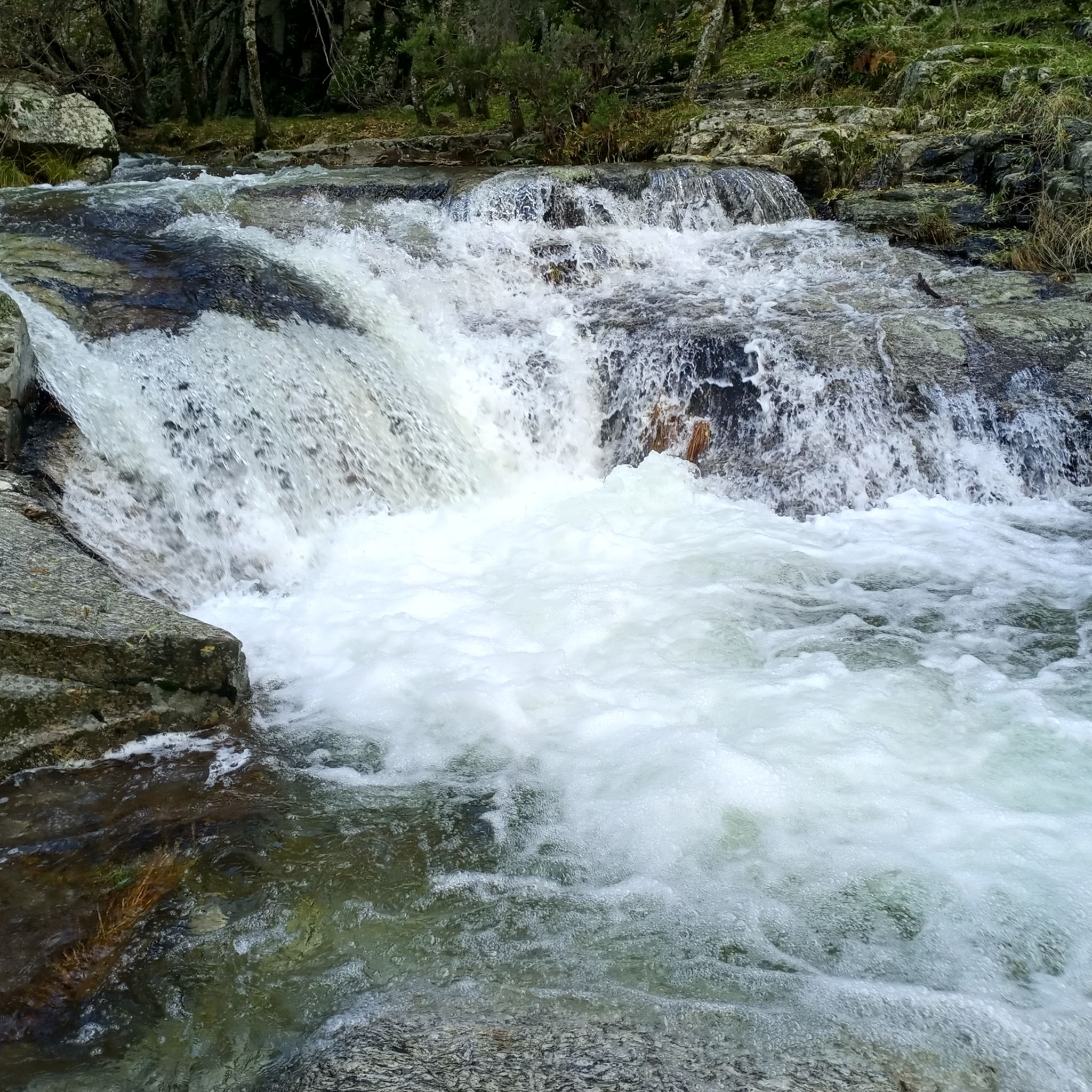
The water of the rich of Madrid. Shade and beware of a lot of traffic on weekends
0
0

Good water and the place is beautiful. A bit crowded if you're right next to it.
1
0

It's a classic climb in the Vuelta a España and in cyclotourism events like the Perico Delgado ride. The switchbacks section is very demanding: The first 4 km are gentle (2-3%). From the Puente de la Cantina (Cantina Bridge), ramps of 6-7% begin. Between km 6 and 8 are the five tightest bends, almost linked together, in a wooded area. The final kilometer has a steep ramp before reaching the summit.
1
0
They are located on the Segovia side of the Navacerrada Pass, on the CL-601 road (formerly the N-601), which connects La Granja de San Ildefonso with the pass. Approximate altitude: between 1,400 m and 1,700 m. There are seven hairpin bends that traverse the foothills of the Sierra de Guadarrama mountain range. Total length of the pass on this side: 13.6 km, with a 669 m elevation gain and an average gradient of 4.9%. The steepest ramps are in the switchbacks, with gradients of 6-8% and occasional sections reaching 9%. Summit at the Navacerrada Pass (1,856 m).
1
0
The name comes from the stone boundary markers erected in the 18th century to demarcate lands acquired by Charles III for hunting. During the Spanish Civil War, it was a strategic area with a Republican detachment stationed there. It formerly housed the Valcotos ski resort, which no longer exists.
1
0

The Siete Revueltas are one of the most iconic sections of the road that ascends to the Navacerrada Pass. This section consists of seven hairpin bends, one after the other, marking the final and toughest part of the climb from the Segovia side.
0
0

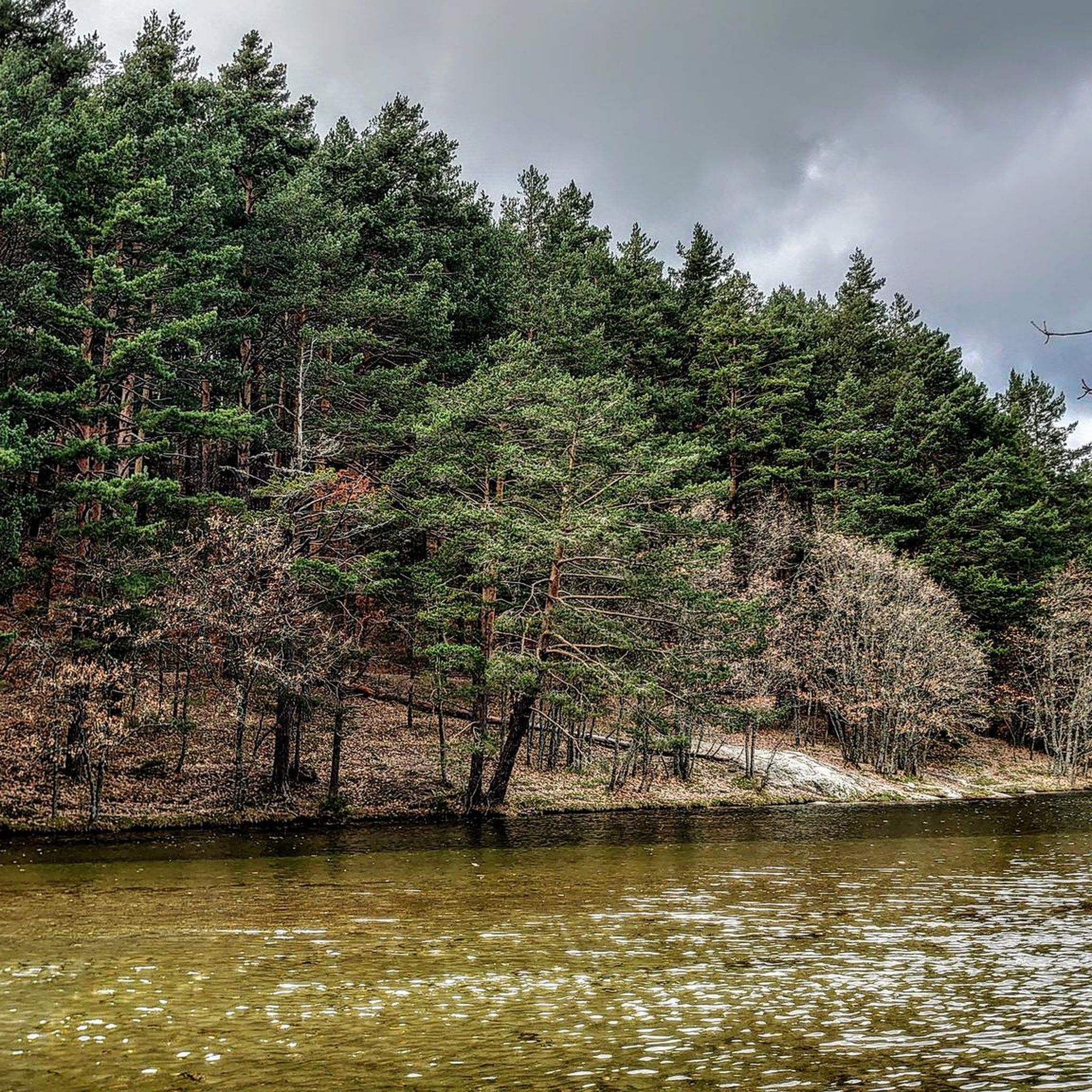
The **Centennial Yew of Canencia** is a unique tree of great botanical and landscape value in the Sierra de Guadarrama, in the Community of Madrid. It is not just a specimen, but part of a small population of yews that has survived in an exceptional setting, the Canencia Birch Forest. ### Characteristics and Location * **Species:** *Taxus baccata* (common yew). * **Age:** The most notable specimen is estimated to be between **400 and 500 years old**. Its longevity is one of the most fascinating characteristics of this species. * **Dimensions:** It has a trunk of considerable girth (around 4.10 meters) and a wide crown about 15 meters in diameter, which demonstrates its advanced age and health. * **Location:** It is located in the **Canencia Birch Forest** area, very close to the Canencia Pass. It is often included in the popular hiking trail known as "The Birch Forest Path" or the "Mojonavalle Waterfall Path." It is located near the Sestil del Maíllo stream. * **Environment:** The yew coexists with other unique species such as birch, holly, and Scots pines. This humid and protected microclimate has allowed the survival of these trees, which are relics of colder, wetter times. ### Importance and Uniqueness * **Botanical Value:** Yews are extremely slow-growing trees and are considered almost immortal. In Spain, they are a protected species, and finding such ancient specimens is a rarity. * **Landscape Value:** The Canencia yew stands out for its majestic appearance in the midst of a very picturesque forest, attracting numerous hikers and nature lovers. * **History and legend:** Like many ancient yew trees, it is steeped in legend. In many European cultures, they were considered sacred trees for their longevity and the toxicity of their parts (except for the pulp of their fruit). ### Access and routes To visit the yew, the most common route is the **Birch Forest Path**, which starts from the Canencia Pass itself. The path is signposted. You walk along a forest track to a detour that leads directly to the Chorrera de Mojonavalle, and a little further on, you will find the yew tree. Despite its age, the tree is increasingly visible and accessible, but it is essential to be respectful and not damage its surroundings to preserve this natural monument.
0
0
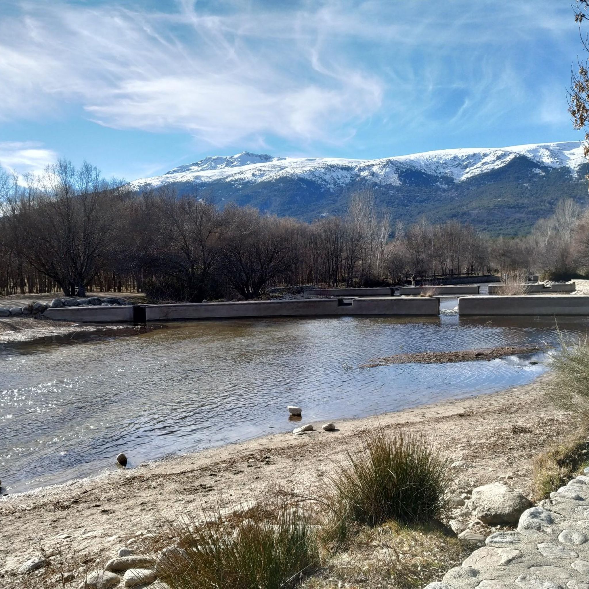
Good, shady area, water in Rascafría and upstream, well paved. Too busy on weekends.
0
0
Frequently Asked Questions
What kind of terrain can I expect on road cycling routes around Rascafría?
Rascafría, nestled in the Lozoya Valley within the Sierra de Guadarrama, offers a diverse range of terrain. You'll encounter significant elevation changes and mountain passes, characteristic of the Sierra. Roads are generally well-maintained, providing access to both challenging climbs, like those found on routes tackling the iconic Puerto de la Morcuera, and more moderate paths through valleys and forests. The region's altitude of approximately 1,100 meters ensures varied landscapes from deep valleys to open mountain views.
Are there road cycling routes suitable for beginners or families in Rascafría?
Yes, Rascafría offers routes for various skill levels. While many routes feature challenging climbs, there are easier options available. For instance, the region includes routes like the 'El Paular Monastery – Pinilla Reservoir Viewpoint loop' which is an easy 27.6 km ride with minimal elevation gain, making it suitable for a more relaxed pace or family outings. You can find 5 easy routes and 19 moderate routes among the 37 available road cycling tours.
What are some notable landmarks or scenic viewpoints I can see while cycling in Rascafría?
The road cycling routes around Rascafría are rich with scenic beauty and historical landmarks. You can cycle past the historic Monastery of Santa María del Paular, a 14th-century architectural marvel. The region also boasts stunning natural viewpoints, such as those overlooking the Lozoya Valley from mountain passes like Puerto de la Morcuera. For breathtaking natural sights, consider exploring areas near the Peñalara Glacial Cirque or the Mirador de la Gitana, offering panoramic vistas of the Sierra de Guadarrama.
Are there any circular road cycling routes starting from Rascafría?
Yes, many road cycling routes in Rascafría are designed as loops, allowing you to start and finish in the same location. A popular option is the Miraflores de la Sierra, Canencia, Lozoya, Rascafría – circular route, a challenging 63.4 km ride. Another favorite is the La Morcuera Pass loop from Ctra. M611 - Los Colladillos, a moderate 28.9 km path that includes a climb to the iconic Puerto de la Morcuera.
What is the best time of year for road cycling in Rascafría?
Rascafría offers a refreshing escape with cooler temperatures, even in summer, making it an excellent destination for road cycling during warmer months. The region's landscapes transform with each season, from lush greenery in spring and summer to golden hues in autumn. While winter offers snow-capped peaks, some higher passes might be less accessible for road cycling. Spring and autumn generally provide pleasant temperatures and stunning scenery, ideal for exploring the varied terrain.
How many road cycling routes are available around Rascafría?
There are over 35 road cycling routes available around Rascafría, catering to various skill levels. This includes 5 easy routes, 19 moderate routes, and 13 difficult routes, ensuring options for beginners, intermediate cyclists, and experienced riders looking for a challenge.
What do other cyclists say about road cycling in Rascafría?
The road cycling experience in Rascafría is highly regarded by the komoot community, with an average rating of 4.6 stars from over 60 reviews. Cyclists often praise the region's stunning natural landscapes, the variety of terrain from challenging mountain passes to scenic valley roads, and the well-maintained routes that offer both intense training opportunities and relaxed rides.
Are there any challenging climbs for experienced road cyclists in Rascafría?
Absolutely. Rascafría is renowned for its challenging climbs within the Sierra de Guadarrama, which have even featured in the Vuelta a España. Experienced cyclists can tackle legendary passes such as Morcuera, Canencia, and Navafría. Routes like the Canencia Pass – La Morcuera Pass loop from Miraflores de la Sierra, a difficult 120.9 km route with over 2,100m of elevation gain, provide significant tests of endurance and offer breathtaking views.
Can I find cafes or places to rest along the road cycling routes in Rascafría?
Yes, Rascafría and the surrounding villages offer various spots to refuel and rest. The town of Rascafría itself has cafes and restaurants. Many routes connect to other charming villages like Buitrago del Lozoya, which also provide amenities. The Monastery of El Paular, a significant landmark, is also a good point of interest near routes where you might find local products.
What are some natural water features or waterfalls I might encounter on a road cycling trip in Rascafría?
While road cycling routes primarily focus on roads, the region around Rascafría is rich in natural water features. The Lozoya River meanders through the valley, and you can find beautiful spots like the Pozas de Rascafría with its waterfalls and natural pools. The impressive Purgatory Waterfall (Cascadas del Purgatorio) is a popular hiking destination, and while not directly on a road cycling route, it's a notable natural attraction in the area worth exploring off the bike.
Are there options for parking when starting a road cycling route in Rascafría?
Yes, Rascafría is a popular starting point for outdoor activities, and parking facilities are generally available within or near the town center. Many routes begin from accessible points, and you can often find designated parking areas suitable for cyclists. It's advisable to check specific starting points for larger routes for the most convenient parking options.
What is the longest road cycling route available in Rascafría?
One of the longest and most challenging road cycling routes in the area is the Canencia Pass – La Morcuera Pass loop from Miraflores de la Sierra. This difficult route spans 120.9 km and involves significant elevation gain, making it a substantial ride for experienced cyclists.
Most popular routes around Rascafría
Most popular attractions around Rascafría

Get inspired with the komoot mobile app


Explore more
Browse the best Road cycling routes in other regions.
