The best running trails around Peñacerrada-Urizaharra
4.5
(21)
682
runners
61
runs
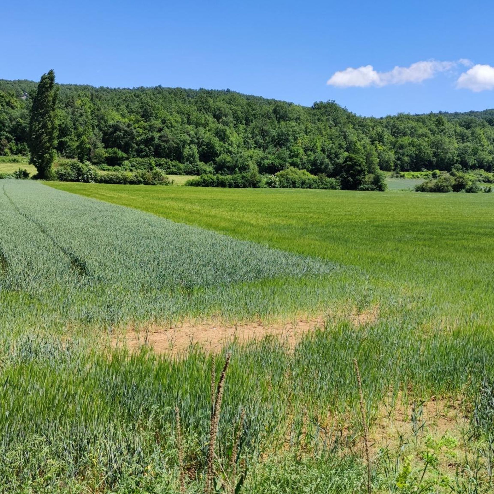
Jogging around Peñacerrada-Urizaharra offers a variety of running experiences across its diverse landscape. The region features a mix of rolling hills, dense woodlands, and open areas, providing varied terrain for runners. Many routes traverse the foothills of the Sierra de Cantabria, presenting both gradual ascents and flatter sections. This area is suitable for those seeking both challenging trail runs and more relaxed jogs.
Best jogging routes around Peñacerrada-Urizaharra
- The most popular jogging route is Path of the Water, a…
Last updated: July 5, 2026
5.0
(1)
30
runners
8.35km
00:58
200m
210m
Run the moderate 5.2-mile Ruta del agua del río Inglares circular trail from Berganzo, featuring waterfalls and river views.
7
runners
11.6km
01:45
530m
520m
Hard run. Very good fitness required. Sure-footedness, sturdy shoes and alpine experience required.

Sign up for free
25
runners
8.03km
01:39
590m
590m
Hard run. Very good fitness required. Sure-footedness, sturdy shoes and alpine experience required.
22
runners
14.3km
02:18
720m
720m
Hard run. Very good fitness required. Sure-footedness, sturdy shoes and alpine experience required.
9
runners
14.7km
01:52
470m
470m
Hard run. Very good fitness required. Sure-footedness, sturdy shoes and alpine experience required.
Get access to more routes and recommendations from other explorers.
Sign up for free
Already have an account?
Our route recommendations are based on thousands of hikes, rides, and runs completed by other people on komoot.
Start today with a free account
Your next adventure awaits.
Login or Signup
Tips from the Community

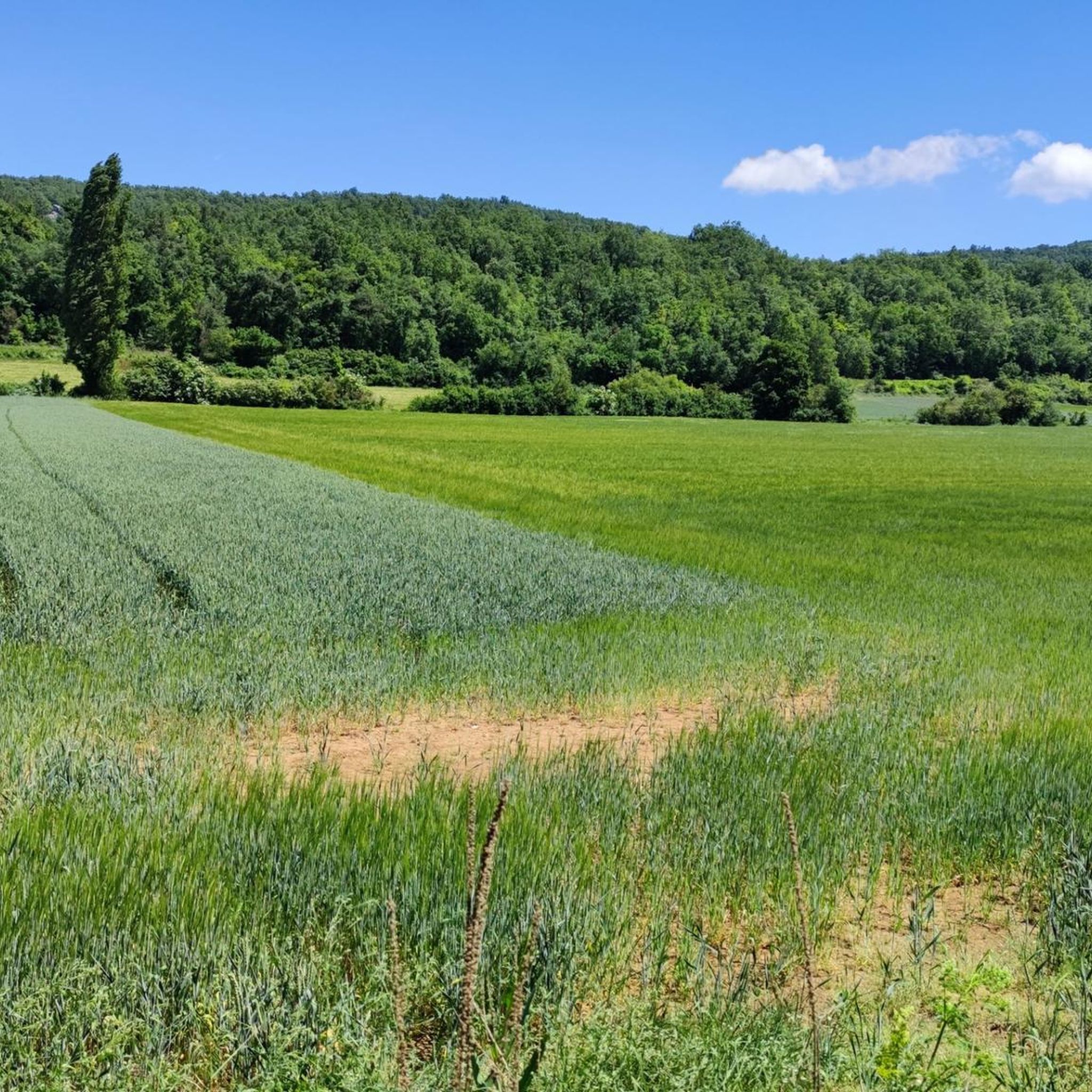
Beautiful river walk with small waterfalls.
1
0

It is worth it even without doing the famous water route.
1
0

The firewall that gives access to the summit is steep. The path that goes along the ledge is very closed and not very visible.
0
0

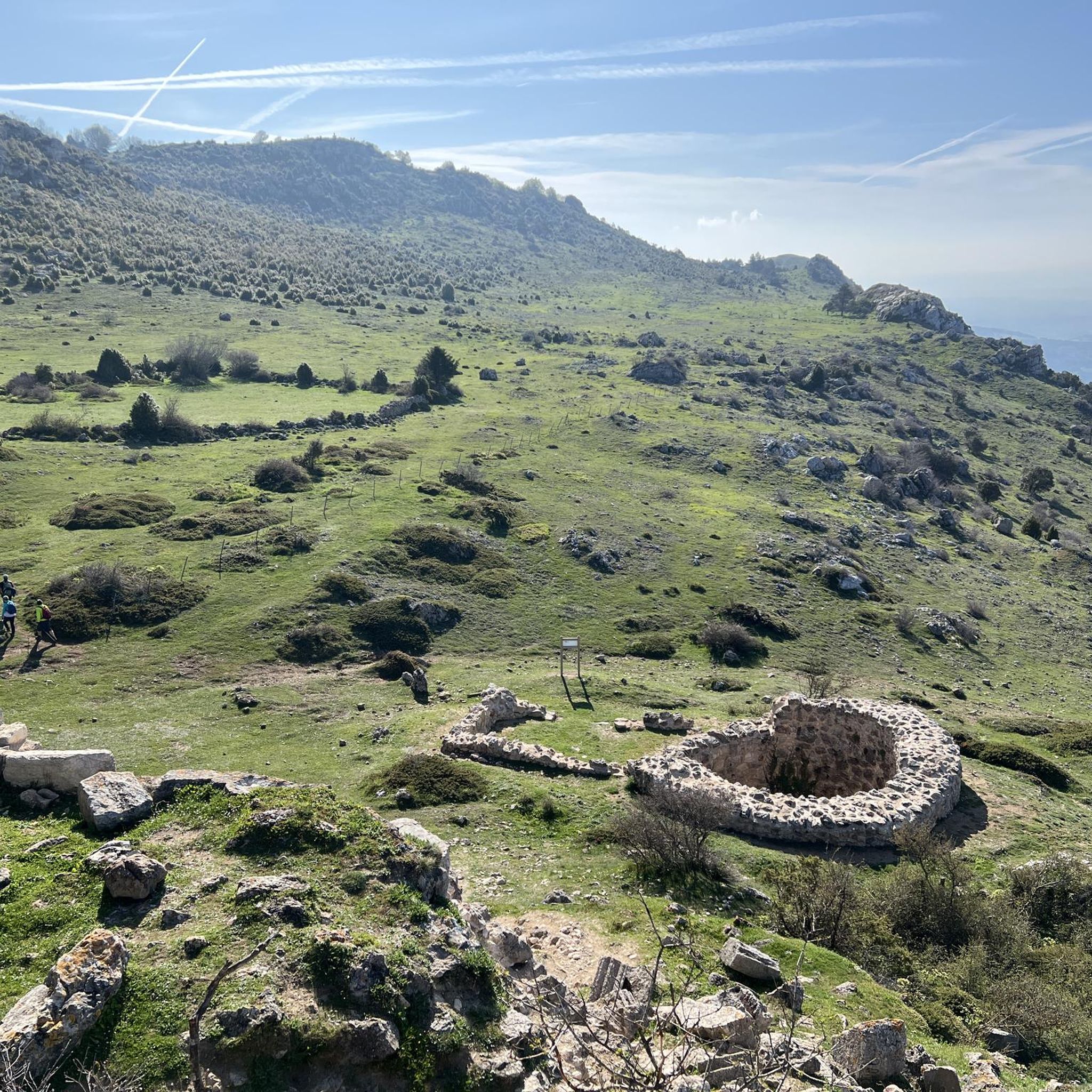
The route returns along the same path, passes the gate again and continues along the path with the green dots towards the geodesic vertex of Toloño (1,264 m), which is not the main summit, this is a cartographic landmark, the main summit is after a little hill planted in some airy and solitary cliffs. The views jump the meanders of the Ebro and reach the silhouettes of San Lorenzo, San Millán and the rest of the peaks of the Sierra de la Demanda. Moncayo appears further away, claiming some prominence in an unforgettable scene. At the foot of the Toloño, in the first valley hanging from the south face, appear the ruins of the Toloñoko Andra Mari, the ancient Monastery of Santa María del Toloño. And to the right the peaks that remain to complete the mountain journey.
0
0
Berganzo is a town in Álava well known in the hiking environment for the Water Route or “Berganzoko ur bidea”, a route of about ten kilometers through the waterfalls and river wonders of the Inglares River. In the town there are route signs everywhere, it even has a private parking lot. The Toloño path begins on the outskirts of the town, towards the town of Peñacerrada, in a small parking lot with some waste containers. At the beginning of the route there are signs for the Water Route and the long-distance trail GR-1 Historic Trail. One kilometer from the exit a fork appears, the Water Route continues on the left and the Toloño path on the right, common with the GR-1 itinerary.
0
0
Especially recommended in spring and autumn, especially if it has rained the previous days.
3
0
Small corner near the road, spectacular when it carries water.
2
0
Frequently Asked Questions
How many running routes are available in Peñacerrada-Urizaharra?
There are over 60 dedicated running routes in the Peñacerrada-Urizaharra region, offering a wide range of experiences from easy jogs to challenging trail runs. You'll find options for all fitness levels.
Are there any easy jogging routes suitable for beginners in Peñacerrada-Urizaharra?
Yes, the region offers a few easy jogging routes perfect for beginners or those looking for a relaxed run. While many routes feature varied terrain, you can find gentler paths to enjoy the scenery. For example, the Path of the Water is a moderate route with gentle elevation changes, suitable for a comfortable run.
What kind of terrain can I expect on the running trails around Peñacerrada-Urizaharra?
The running trails in Peñacerrada-Urizaharra feature a diverse landscape, including rolling hills, dense woodlands, and open areas. Many routes traverse the foothills of the Sierra de Cantabria, offering a mix of gradual ascents, descents, and flatter sections. This variety provides options for both challenging trail runs and more relaxed jogs.
Are there any circular running routes in Peñacerrada-Urizaharra?
Yes, several running routes in the area are circular, allowing you to start and end in the same location. An example is the Toloño (vértice) loop from Labastida / Bastida, which offers varied terrain and notable climbs.
What are some interesting landmarks or viewpoints I can see while jogging in Peñacerrada-Urizaharra?
Many running routes offer stunning views and pass by notable landmarks. You might encounter the impressive Toloño summit, the scenic Balcón de Castilla viewpoint, or the historic Castle Rock. The Humilladero Hermitage – Castle Rock loop from Labastida / Bastida is a great option for combining running with sightseeing.
Are there any long-distance running options for experienced runners?
Absolutely. For experienced runners seeking a challenge, routes like the Hike around the peñas of the Sierra de Cantabria offer significant elevation gain and expansive mountain views over 11 kilometers. The Humilladero Hermitage – Castle Rock loop from Labastida / Bastida is another challenging option, spanning over 14 kilometers with considerable elevation.
What do other runners say about the trails in Peñacerrada-Urizaharra?
The running routes in Peñacerrada-Urizaharra are highly regarded by the komoot community, with an average rating of 4.7 stars from over 20 reviews. Runners often praise the varied terrain, the beautiful mountain views, and the well-maintained paths that cater to different ability levels.
Are there any running routes that pass by natural monuments or unique geological features?
Yes, the region is home to several natural monuments. You can find routes that lead to the Toloño summit or the Puerto del Toro mountain pass. The Water Route highlight also suggests a trail with interesting natural elements.
What is the best time of year to go jogging in Peñacerrada-Urizaharra?
While the guide doesn't specify, generally, spring and autumn offer the most pleasant conditions for jogging in this region, with milder temperatures and beautiful scenery. Summer can be warm, especially at midday, and winter might bring colder temperatures and potentially snow at higher elevations in the Sierra de Cantabria, requiring appropriate gear.
Are there any running routes that offer panoramic views?
Many routes in Peñacerrada-Urizaharra provide excellent panoramic views, especially those that ascend into the Sierra de Cantabria foothills. The Hike around the peñas of the Sierra de Cantabria is particularly known for its expansive mountain vistas. The Balcón de Castilla is a specific viewpoint you might encounter.
How long do the running routes typically take to complete?
The duration of running routes varies significantly based on distance and difficulty. For example, the moderate Path of the Water (8.4 km) typically takes about 1 hour, while more challenging routes like the Humilladero Hermitage – Castle Rock loop from Labastida / Bastida (14.3 km) can take over 2 hours.
Most popular routes around Peñacerrada-Urizaharra
Most popular attractions around Peñacerrada-Urizaharra

Get inspired with the komoot mobile app


Explore more
Browse the best Running Trails & Routes in other regions.
