The best cycling routes around la Vall de Gallinera
4.6
(257)
9,830
riders
74
rides
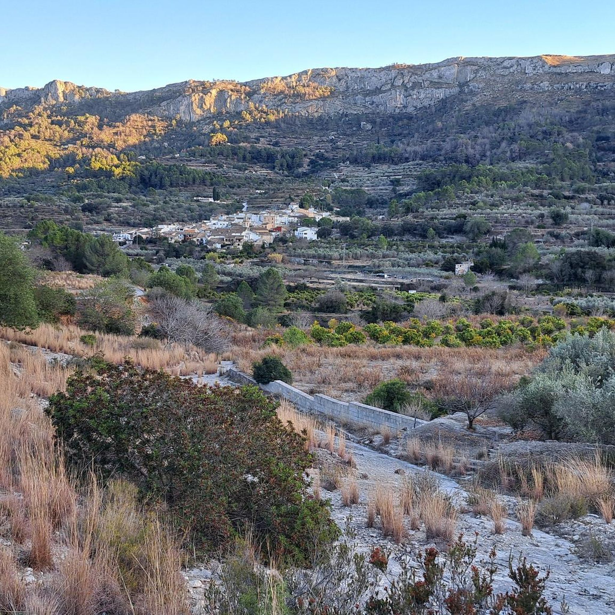
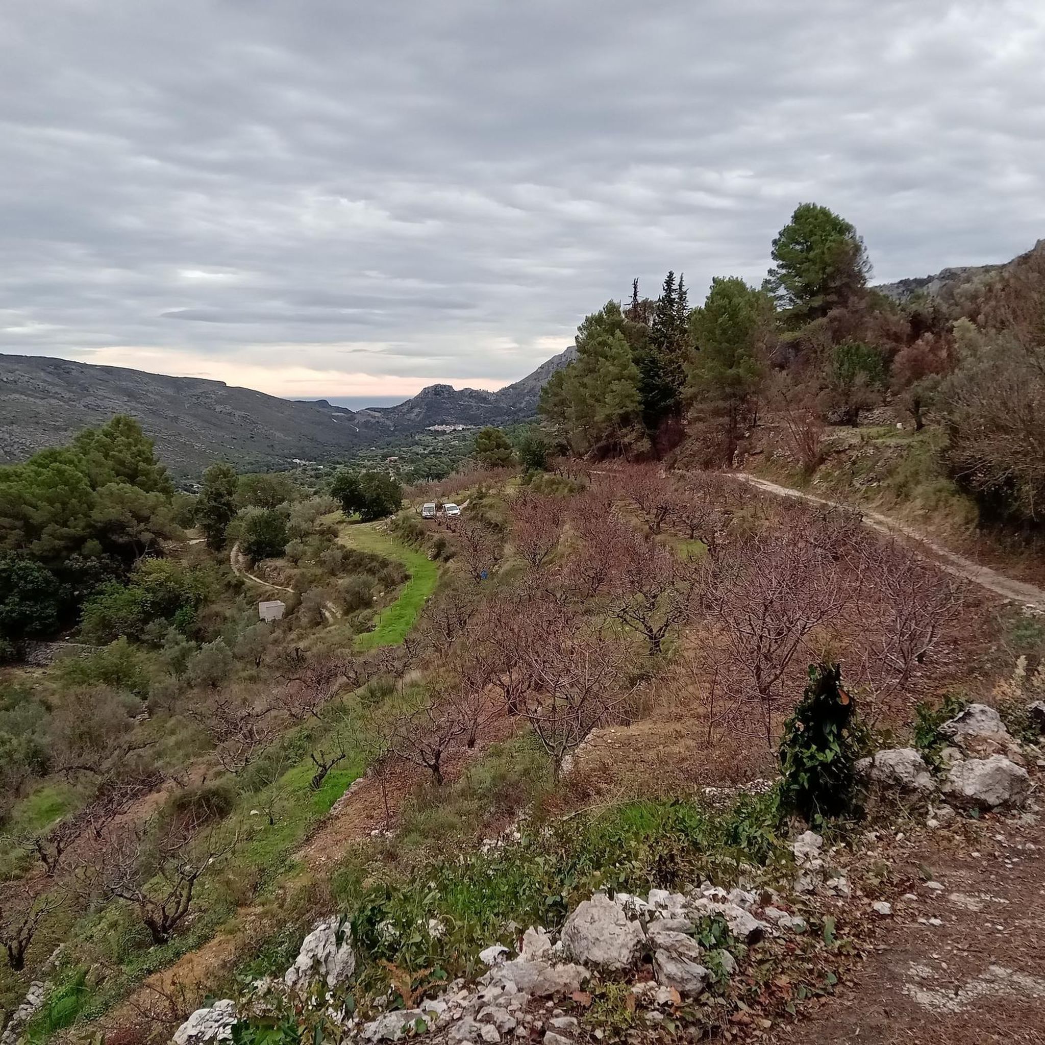
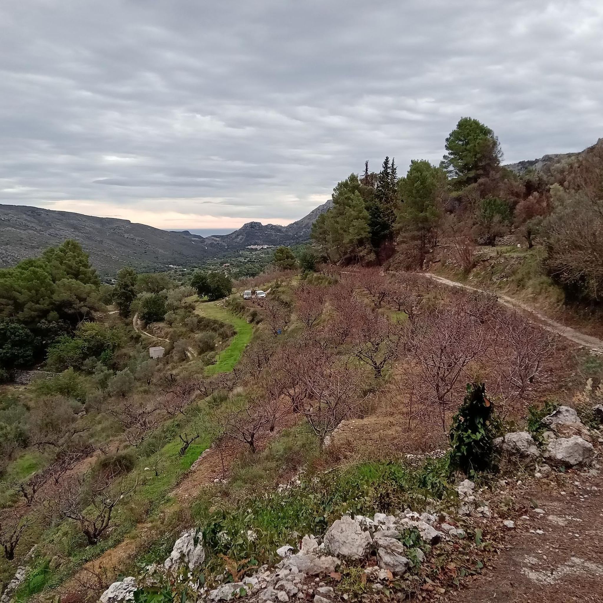
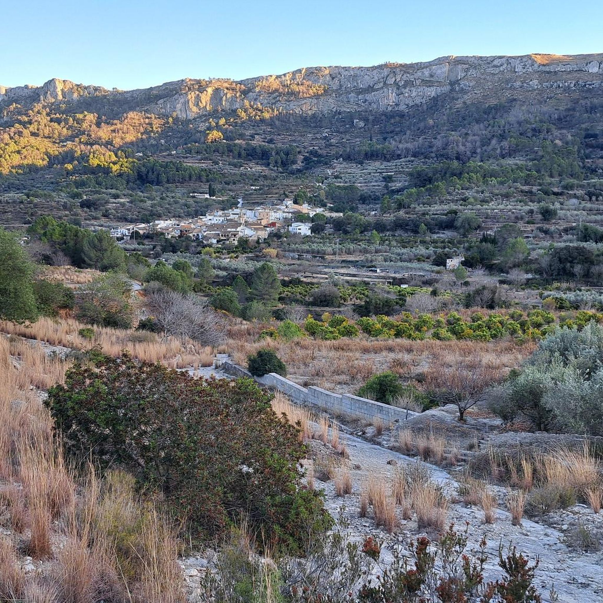
Touring cycling routes around la Vall de Gallinera traverse a landscape defined by the Sierra de Foradada and Serra de L'Almirant mountain ranges, with the River Gallinera flowing through its center. The region features terraced agricultural lands, lush cherry orchards, pine forests, and groves of olive and almond trees. Cyclists encounter varied terrain, including long, gentle climbs and paved agricultural roads.
Best touring cycling routes around la Vall de Gallinera
- The most popular touring cycling route is Dawn's Way and…
Last updated: July 10, 2026
4.7
(3)
36
riders
29.4km
02:24
730m
730m
Hard bike ride. Very good fitness required. Mostly paved surfaces. Suitable for all skill levels.
4.6
(9)
103
riders
26.4km
01:58
480m
480m
Hard bike ride. Very good fitness required. Mostly paved surfaces. Suitable for all skill levels.

Sign up for free
4.5
(2)
131
riders
45.8km
03:08
790m
790m
Hard bike ride. Very good fitness required. Mostly paved surfaces. Suitable for all skill levels.
5.0
(3)
41
riders
Hard bike ride. Very good fitness required. Mostly paved surfaces. Suitable for all skill levels.
5.0
(1)
44
riders
17.7km
01:08
230m
230m
Moderate bike ride. Good fitness required. Mostly paved surfaces. Suitable for all skill levels.
Get access to more routes and recommendations from other explorers.
Sign up for free
Already have an account?
Our route recommendations are based on thousands of hikes, rides, and runs completed by other people on komoot.
Start today with a free account
Your next adventure awaits.
Login or Signup


Tips from the Community

The only crossing over the river. Suitable spot for a picnic. It's not far to Villalonga from here.
2
0
There are several tunnels on the route. 2 to 3 longer ones: you absolutely need light. Otherwise, it's pitch dark.
2
0

A beautiful hike through the Hell's Gorge. The actual route along the railway line, and probably the most interesting section between L'Orcha and Mare de Deu (Barranco del Infierno = Hell's Gorge), is unpaved and unpaved, in some parts very gravelly and rough. Five metal bridges are missing, two stone bridges remain, and six tunnels are traversed, all without lighting.
1
0
The ford was replaced by a "bridge".
1
0

On Grabel, it's advisable to keep your tire pressures correct. I recommend over-inflating rather than underinflating. There are some cobblestone areas.
1
0

Be sure to take a break here :-) there are benches with tables, the refreshing clear water and the wonderful view of the mountains
1
0

Atzúbia is a town in the Valls de Pego subregion, in Marina Alta. In the past it was called Atzúbia dels Roques or Vila dels Roques. The orography of the term favors cycling and hiking. The Tossal del Llop, camping area, should be highlighted among its sites; the Serra de l'Orxa, the Serra de la Safor, the Bassiets cave and, the most well-known, the Canelobre. Despite the evidence of the passage of Iberians and Romans, the origin of the population is Arab. Jaume I ceded it in 1258 to Arnau de Romaní. Later he would create the barony of Forna for his son. In 1602 it was inhabited by 6 families, but in 1609 it remained depopulated after the expulsion of the Moors; it was repopulated in 1611 by Francesc Roca with Majorcans. It has belonged to the Cruïlles (16th century), the Figuerolas (17th century) and the Julià family and the baron of Santa Bárbara (19th century). In 1845, the municipality gathered 150 dry-land workers with a small garden irrigated by the Forna laundry, in its mountains it owned two mineral coal mines, two algeps quarries, six kilns for baking it, three sand quarries and 200 heads of woolly cattle. In 1911 Forna and Atzúbia merged to form a single municipality. It has a population of less than a thousand inhabitants, many of them foreigners, spread over the two population centers: Atzúbia and Forna.
3
0
At the east entrance of L'Atzúbia is its washing machine, well preserved but unused. Next to it, there is a surprising house with holes drilled from the bottom to give an outlet to the water of the ravine when it is loaded.
1
0
Frequently Asked Questions
How many touring cycling routes are available in La Vall de Gallinera?
La Vall de Gallinera offers a wide selection of touring cycling routes, with over 70 options available. These routes cater to various skill levels, including 14 easy, 28 moderate, and 36 difficult trails.
What is the best time of year for touring cycling in La Vall de Gallinera?
The valley is particularly stunning in spring when the cherry blossoms create a pink and white spectacle, and the almond trees bloom in February, offering picturesque and fragrant riding conditions. Generally, the region provides good cycling conditions with light traffic, especially further into the valley.
What kind of terrain can I expect on touring cycling routes in La Vall de Gallinera?
You can expect a mix of varied terrain, from very long and gentle cycling climbs to paved agricultural roads. The routes traverse lush cherry orchards, pine forests, and groves of olive and almond trees, set against the backdrop of the Sierra de Foradada and Serra de L'Almirant mountain ranges.
Are there easy touring cycling routes suitable for beginners in La Vall de Gallinera?
Yes, La Vall de Gallinera offers 14 easy touring cycling routes. Many routes feature paved surfaces and gentle slopes, such as those connecting the eight charming villages, making them accessible for beginners or those seeking a relaxed ride.
Are there challenging routes for experienced touring cyclists?
Absolutely. For experienced touring cyclists, there are 36 difficult routes available. Trails like the Dawn's Way and Coll de la Safor Loop feature significant elevation gain through the valley's mountainous terrain, providing a demanding experience. Another challenging option is the Serpis River – Azud del Infierno or del Forn loop from Castell de Benissili, which includes nearly 1000 meters of ascent.
What interesting natural attractions can I see along the touring cycling routes?
The region is rich in natural beauty. You can encounter unique features like the Penya Foradà, a crag with a distinct opening, or explore the Gallinera Valley itself. Other natural highlights include the Salty Spring and the Natural area of the "Font Salà".
Are there any historical sites or charming villages to explore on a touring cycling trip?
Yes, the valley is dotted with attractions. You can cycle through the eight quaint villages—Benialí, Benirrama, Benitaia, Benissivà, La Carroja, Alpatró, Llombai, and Benissili—each with its own character. Historical sites include the ruins of Castillo de Benirrama and Castillo de Benissili, offering spectacular vistas, and the 17th-century Palace of the Counts of Sáfor in Benissivà.
Are there any circular touring cycling routes in La Vall de Gallinera?
Yes, many routes in La Vall de Gallinera are designed as loops. For example, the Serpis River – Azud del Infierno or del Forn loop from L'Udol Reprimala is a popular choice that explores the river valley. Another option is the Font de L’Alcúdia – L'Atzúbia loop from Venta de Margarida, leading through varied landscapes.
What do other touring cyclists enjoy the most about touring cycling in La Vall de Gallinera?
The area is highly rated by the komoot community, with an average score of 4.6 stars from over 200 reviews. Touring cyclists often praise the varied terrain, from soaring peaks to lush cherry orchards, and the traditional terraced agricultural landscapes. The network offers options for different ability levels, from gentle rides through villages to routes with significant elevation.
Are there specific routes that highlight the region's natural beauty, like the cherry orchards?
Many routes traverse the valley's agricultural landscapes. While specific routes aren't named for cherry orchards, the general description of touring cycling around La Vall de Gallinera highlights riding through lush cherry orchards, pine forests, and groves of olive and almond trees, especially beautiful in spring.
Where can I find parking facilities for touring cycling routes in La Vall de Gallinera?
Parking facilities are generally available in the various villages throughout La Vall de Gallinera, such as Benialí, Benirrama, and Benissivà. These villages often serve as convenient starting points for many of the touring cycling routes.
What are the road conditions like for touring cyclists in La Vall de Gallinera?
The road surfaces in La Vall de Gallinera are generally in good condition, and traffic is typically light, particularly further into the valley. This contributes to a pleasant and safe cycling experience, allowing you to fully enjoy the scenic landscapes.
Most popular routes around la Vall de Gallinera
Most popular attractions around la Vall de Gallinera

Get inspired with the komoot mobile app


Explore more
Browse the best Cycling routes in other regions.
