The best walks and hikes around Librilla
4.5
(728)
2,754
hikers
120
hikes
Hiking trails around Librilla are situated in Spain's Guadalentín Valley, characterized by a pre-coastal depression and bisected by the Rambla de Librilla. The landscape features a mix of arid "ramblas" (dry riverbeds) and elevated viewpoints. Surrounding mountain ranges like Sierra de la Muela and Sierra de Carrascoy contribute to varied topography, including ravines such as Barranco de Gebas. This region offers diverse terrain for outdoor exploration.
Best hiking trails around Librilla
- The most popular hiking route is Barrancos de Gebas Gorge Trail loop from Albergue de Los Forestales, a 6.7 miles (10.9 km) trail that takes 3 hours 9 minutes to complete. This route offers views of the picturesque Barranco de Gebas ravine and its distinct sandy, rocky environment.
- Another top favourite among local hikers is Barrancos de Gebas Gorge Trail loop from Librilla, a moderate 5.8 miles (9.3 km) path. This trail explores the unique "lunar landscape" of the Gebas ravine, known for its azure reservoir.
- Local hikers also love the Hiking loop from Lo Ramón, a 2.2 miles (3.6 km) trail leading through the local hills, often completed in about 1 hour 3 minutes.
- Hiking around Librilla is defined by arid ramblas, significant mountain ranges, and scenic ravines. The network offers options for various ability levels, from easy loops to more challenging mountain ascents.
- The routes in Librilla are highly rated by the komoot community with an average score of 4.6 stars from more than 500 reviews. More than 2000 hikers have used komoot to explore Librilla's varied terrain.
Last updated: October 8, 2026
4.7
(23)
69
hikers
Moderate hike. Good fitness required. Easily-accessible paths. Suitable for all skill levels.
4.5
(24)
57
hikers
8.73km
02:30
200m
200m
Moderate hike. Good fitness required. Easily-accessible paths. Suitable for all skill levels.

4.7
(7)
26
hikers
Moderate hike. Good fitness required. Easily-accessible paths. Suitable for all skill levels.
4.0
(1)
28
hikers
4.97km
01:30
160m
160m
Easy hike. Great for any fitness level. Easily-accessible paths. Suitable for all skill levels.
4.5
(4)
20
hikers
Moderate hike. Good fitness required. Easily-accessible paths. Suitable for all skill levels.
Get access to more routes and recommendations from other explorers.
Already have an account?
Our route recommendations are based on thousands of hikes, rides, and runs completed by other people on komoot.
Start today with a free account
Your next adventure awaits.

Tips from the Community

Impressive!
1
1

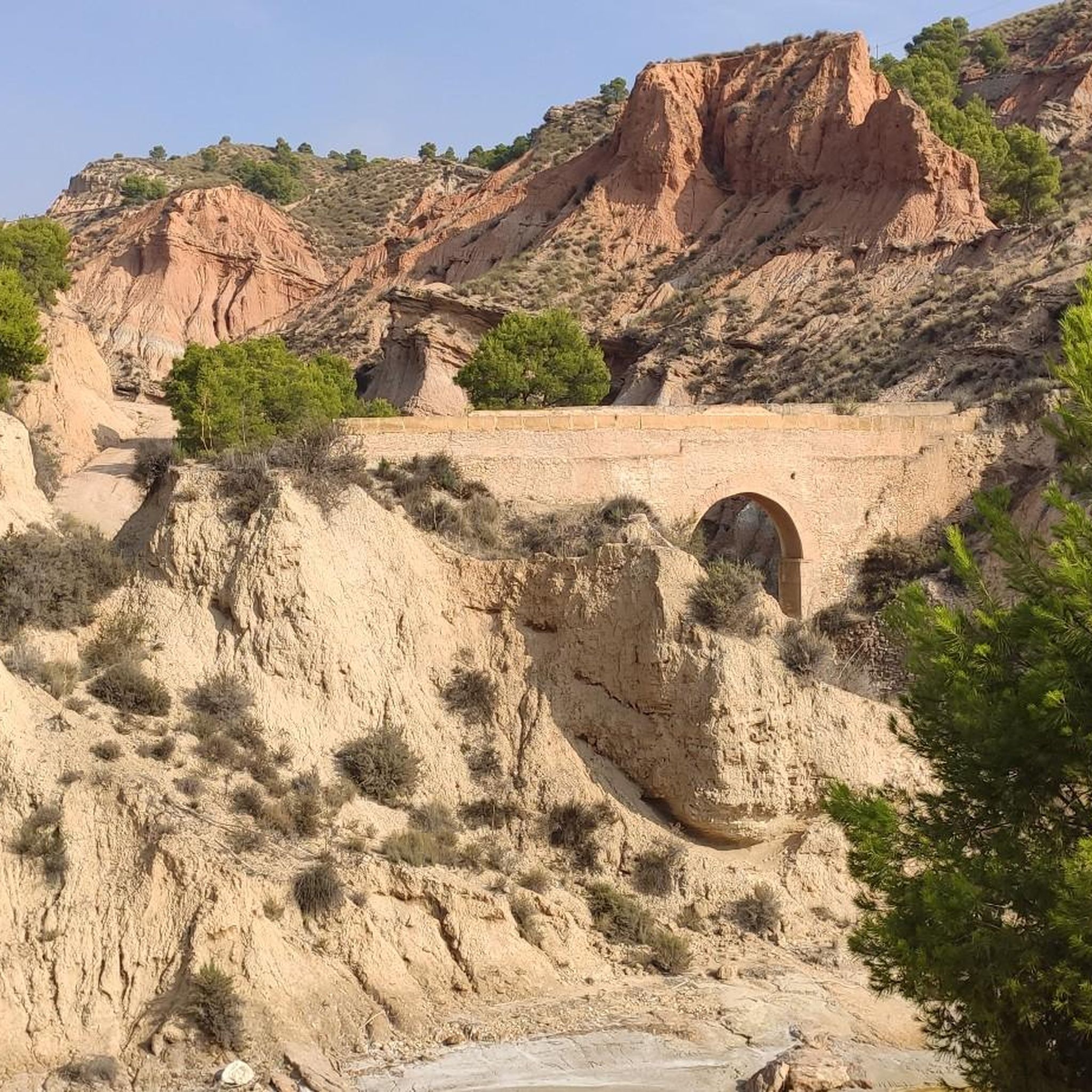
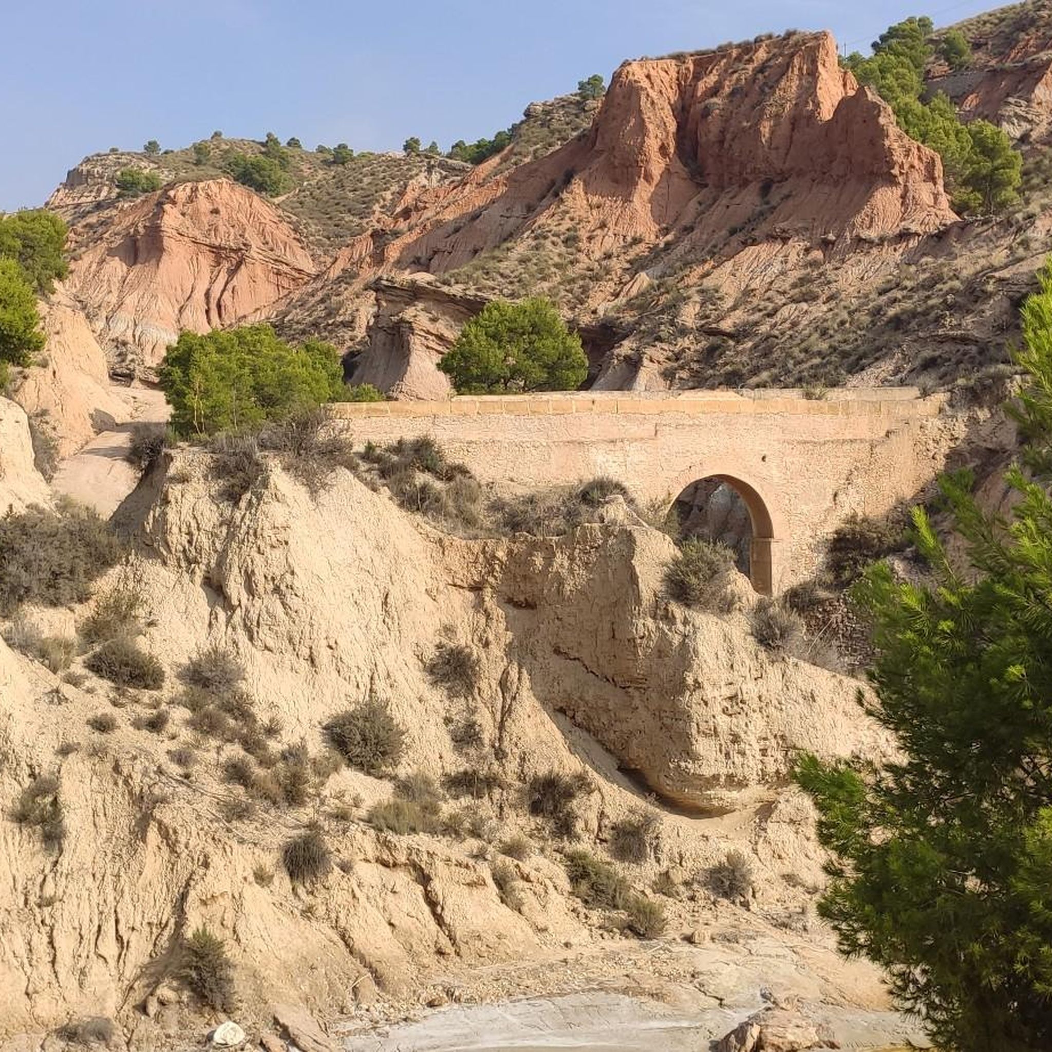
So beautiful: The Rambla de Algeciras reservoir is a crucial water reservoir in the Region of Murcia, Spain. It was built for flood control (of the Segura River), water storage, and irrigation regulation. The area offers many hiking and cycling opportunities and offers views of the nearby Barrancos de Gebas.
5
1


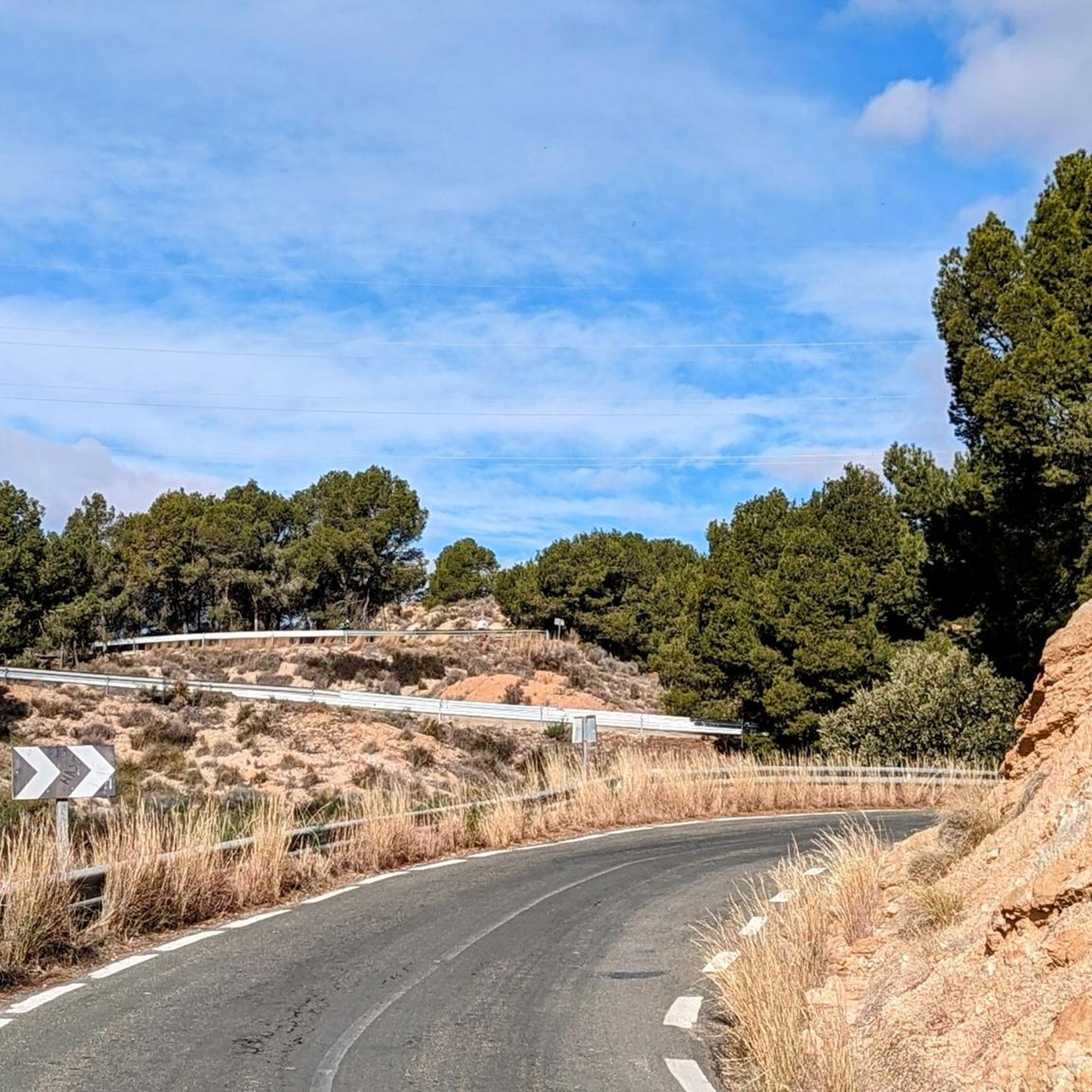
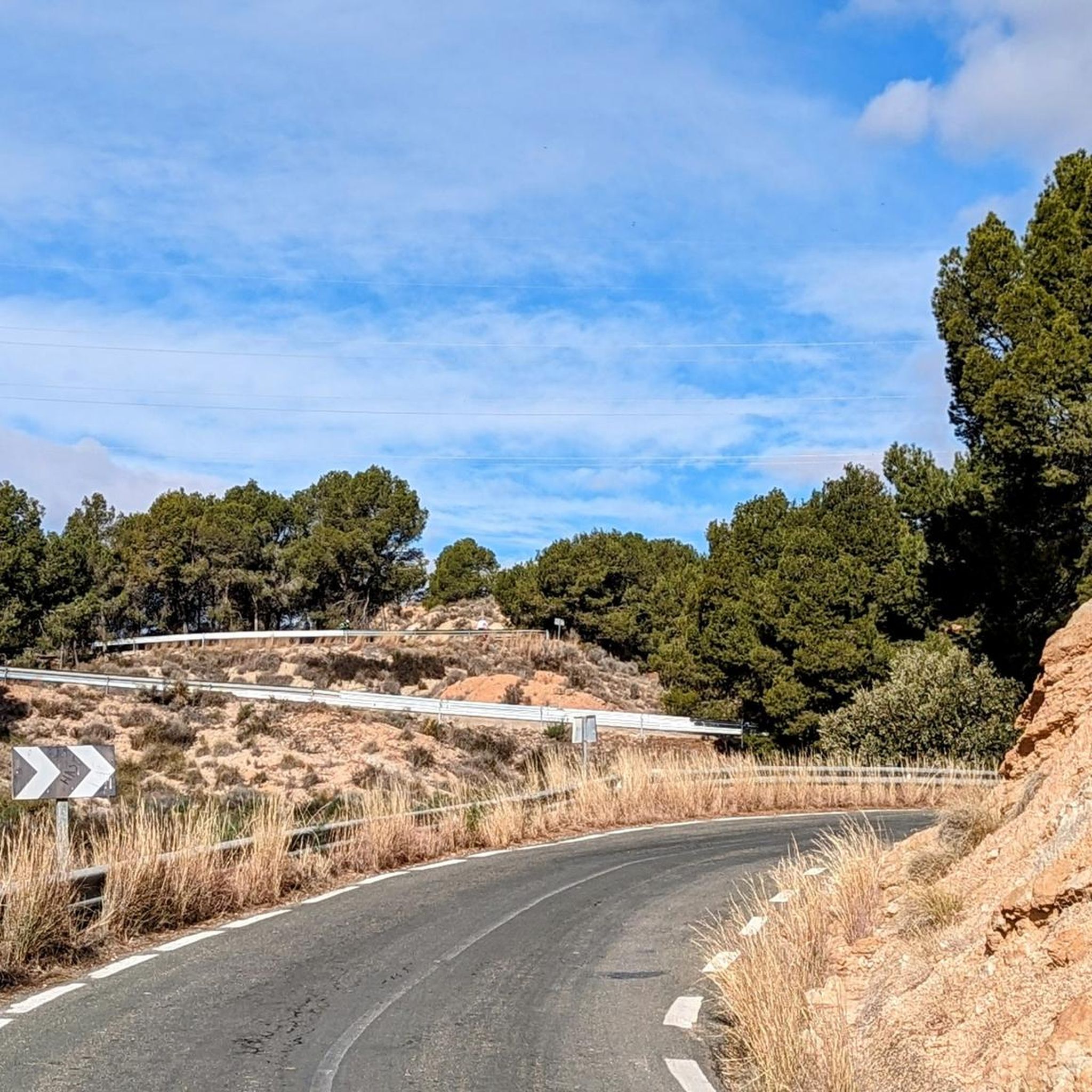
along the canal, paved path. Several hikes are possible around the area.
1
1

The Mirador del Embalse de la Rambla de Algeciras is an observation point that offers stunning panoramic views of the reservoir and its surroundings. From this viewing point, visitors can enjoy the natural beauty of the region, including the waters of the reservoir and the mountainous landscape that surrounds it. It is an ideal place for nature and photography lovers, as it provides an excellent opportunity to capture the serenity and majesty of the surroundings. In addition, it is a good starting point for hiking and exploring the area.
7
0

a hiking trail that partly goes steeply downhill and leads to the riverbed, with a great view
0
0
the little detour is worth it. A great view and a bench for a break
0
0

Walking shoes necessary
0
0
Frequently Asked Questions
How many hiking trails are available around Librilla?
Librilla offers a diverse network of over 10 hiking trails. These routes cater to various skill levels, including 4 easy, 5 moderate, and 1 difficult trail, ensuring options for every hiker.
What kind of landscapes can I expect to see while hiking in Librilla?
Hiking in Librilla reveals a unique blend of landscapes. You'll encounter arid "ramblas" (dry riverbeds), elevated viewpoints, and significant mountain ranges like the Sierra de la Muela and Sierra de Carrascoy. The region is also known for picturesque ravines such as Barranco de Gebas, which features a distinct sandy, rocky environment and an azure reservoir.
Are there any easy hiking trails suitable for beginners or families in Librilla?
Yes, Librilla has several easy trails perfect for beginners or families. For instance, the Hiking loop from Lo Ramón is an easy 3.6 km path that takes just over an hour to complete, leading through local hills. There are 4 easy routes in total to choose from.
What are some notable natural attractions or viewpoints along the trails?
Hikers can discover several natural attractions and viewpoints. The Rambla de Algeciras Reservoir and its associated Algeciras Reservoir Viewpoint offer panoramic vistas. You can also explore the dramatic Eroded Landscapes Trail within the Barrancos de Gebas Protected Landscape, known for its unique geological formations. For a challenging ascent with extensive views, consider Pico del Águila.
What do other hikers say about the trails in Librilla?
The hiking trails around Librilla are highly regarded by the komoot community, holding an average rating of 4.6 stars from over 500 reviews. Hikers frequently praise the varied terrain, from arid ramblas to scenic ravines, and the opportunities to experience the natural beauty of the region.
Are there any circular hiking routes in Librilla?
Yes, many of Librilla's trails are circular, allowing you to start and end at the same point. A popular option is the Barrancos de Gebas Gorge Trail loop from Albergue de Los Forestales, which offers stunning views of the ravine.
What is the best time of year to go hiking in Librilla?
The best time to hike in Librilla is typically during the cooler months, from autumn through spring. Summers can be very hot, especially in the arid ramblas and desert-like areas like Barranco de Gebas, so it's advisable to avoid extreme heat. Spring brings pleasant temperatures and potentially more greenery, while autumn offers comfortable conditions.
Are there any trails that feature the Barrancos de Gebas ravine?
Absolutely. The Barrancos de Gebas ravine is a highlight of the region. You can experience its unique "lunar landscape" and azure reservoir on trails such as the Barrancos de Gebas Gorge Trail loop from Librilla. This area is known for its breathtaking views and distinct sandy, rocky environment.
What should I pack for hiking in Librilla, especially considering the terrain?
Given the varied terrain, including arid ramblas and potentially loose rocks, it's essential to pack sturdy hiking boots with good ankle support. Bring plenty of water, especially during warmer periods, as some areas are exposed. Sun protection (hat, sunscreen) is also crucial. For trails in Barranco de Gebas, good orientation or a guide is recommended due to overlapping paths.
Are there any trails that offer views of reservoirs or water features?
Yes, several trails provide views of water features. The Rambla de Algeciras Reservoir is a significant attraction, and trails in the Barrancos de Gebas area often feature the picturesque azure reservoir within the ravine. The Algeciras Reservoir Viewpoint is a great spot to take in these views.
Are there any particularly challenging hikes in the Librilla area?
While Librilla offers many moderate and easy trails, there is at least one difficult route for experienced hikers. The surrounding mountain ranges, such as Sierra de la Muela and Sierra de Carrascoy, contribute to the varied topography, providing options for more demanding ascents and descents, sometimes involving loose stone.
Most popular attractions around Librilla

Get inspired with the komoot mobile app


Explore more
Browse the best Hikes in other regions.
