The best mountain hikes around Breña Baja
4.3
(5)
30
hikers
7
hikes
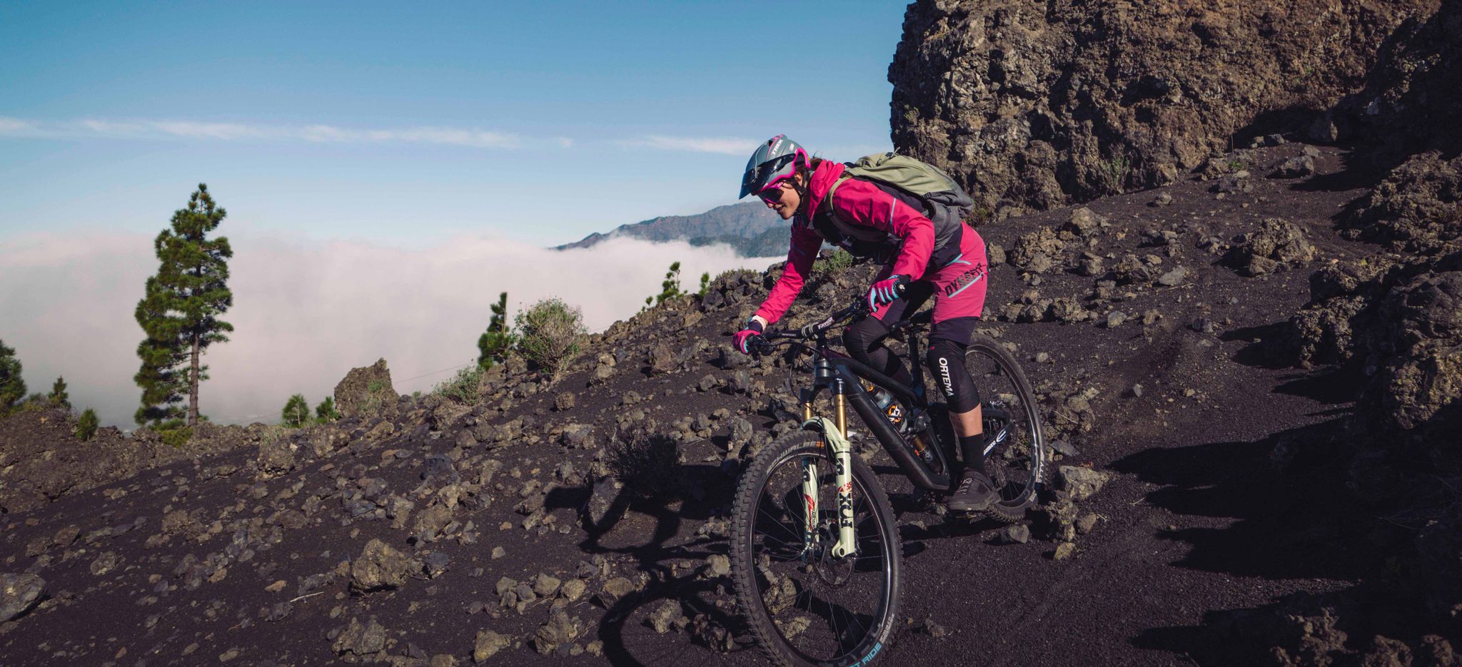
Mountaineering around Breña Baja offers routes through varied volcanic landscapes on the island of La Palma. The terrain features significant elevation changes, leading to prominent peaks and ancient craters. The region is characterized by its mountainous backbone, providing challenging ascents and panoramic views. These routes traverse areas with diverse flora, typical of the Canary Islands' higher elevations.
Best mountaineering routes around Breña Baja
- The most popular mountaineering route is El Rodeo – Pico Bejenado loop from Start of Pico Bejenado…
Last updated: August 25, 2026
4.5
(2)
18
hikers
14.5km
05:47
690m
690m
Hard mountaineering route. Very good fitness required. Mostly accessible paths. Sure-footedness required.
3.5
(2)
6
hikers
16.9km
06:43
990m
990m
Hard mountaineering route. Very good fitness required. Mostly accessible paths. Sure-footedness required.

Sign up for free
3
hikers
19.9km
07:51
1,030m
1,030m
Hard mountaineering route. Very good fitness required. Mostly accessible paths. Sure-footedness required.
Hard mountaineering route. Very good fitness required. Mostly accessible paths. Sure-footedness required.
5.0
(1)
2
hikers
Hard mountaineering route. Good fitness required. Sure-footedness, sturdy shoes and alpine experience required.
Get access to more routes and recommendations from other explorers.
Sign up for free
Already have an account?
Our route recommendations are based on thousands of hikes, rides, and runs completed by other people on komoot.
Start today with a free account
Your next adventure awaits.
Login or Signup
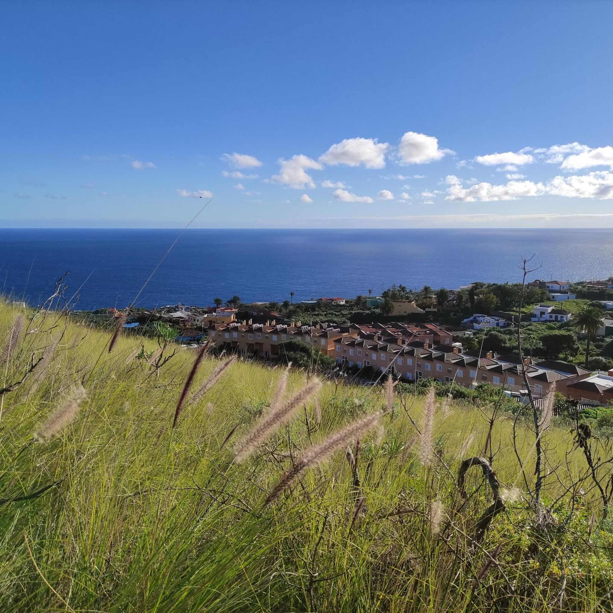
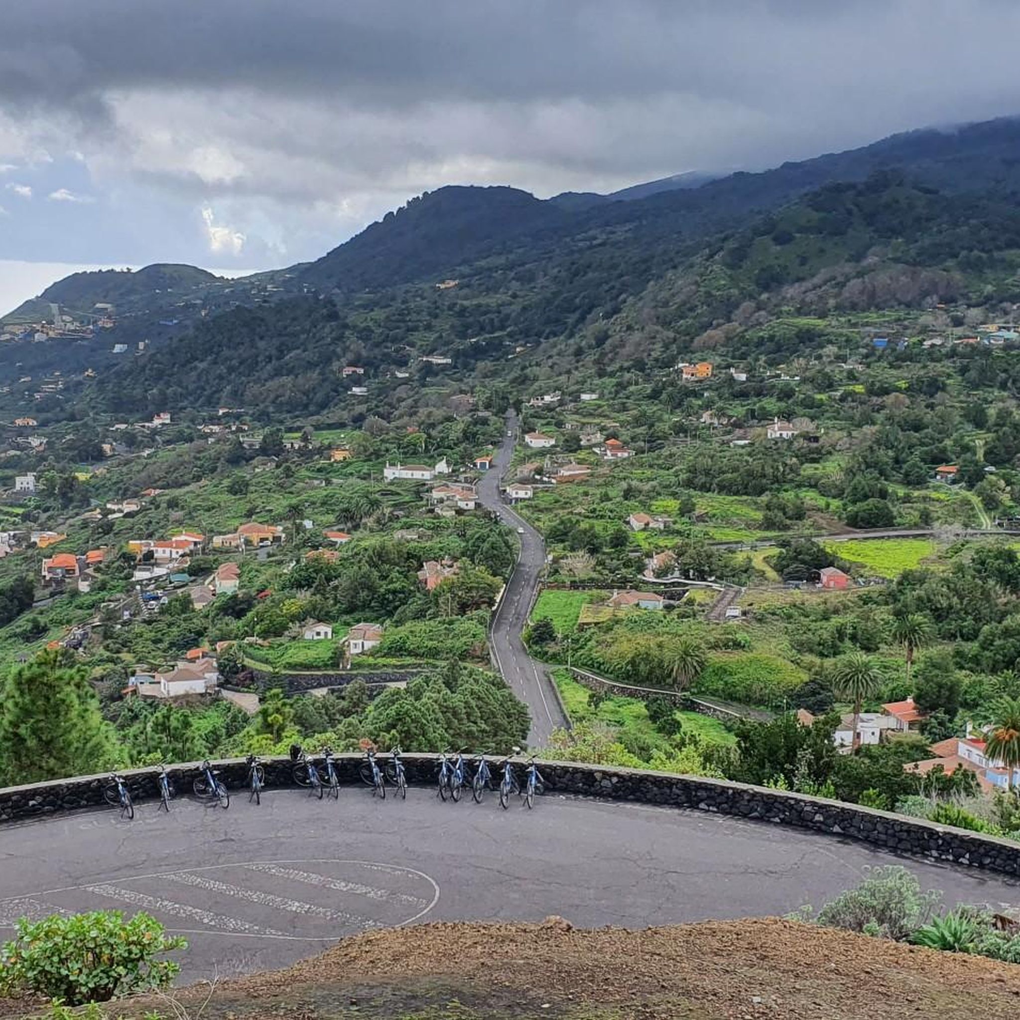
Other adventures around Breña Baja

Tips from the Community

This spectacular volcanic ridge offers, on either side of the trail, wide views of the Atlantic and the pine-covered slopes. Looking ahead, you can also admire the rugged relief of the ridge.
0
0

The highest peak on the volcano route, offering a magnificent panoramic view: of the caldera, Tenerife with Mount Teide, and the next volcanic craters along the route. Caution: it can be quite windy on the ascent.
0
0

Highest point of the Ruta de los Volcanos from El Pilar to Fuencaliente
0
0
This is an easy trail that offers a good view of the caldera of the vulcano.
0
0
From this viewpoint, the Ruta de los Vulcanos curves to the right of the Volcán Duráznero, but there is another trail that takes you straight over the top of this volcano and the next one, the Deseada.
0
0
Just after the start of the 17 km long Ruta de los Vulcanos from El Pilar to Fuencaliente, you will pass the only viewpoints of the Caldera de Taburiente.
0
0
Don't forget to say a little prayer to the Madonna in the visitor centre before you set off on the 17 km hike to Fuencaliente. It just might help!
0
0

A very beautiful vantage point on the Camino de Gordian. The view sweeps over the Aridane Valley and the Cumbre Vieja in the background.
0
0
Frequently Asked Questions
How many mountaineering routes are available in Breña Baja?
There are over 10 mountaineering routes around Breña Baja listed on komoot, offering a variety of experiences through the region's volcanic landscapes.
Are there any easier mountaineering routes for beginners in Breña Baja?
While most routes in Breña Baja are considered difficult, there are a couple of moderate options available. For example, the Pico Nambroque – Montaña la Barquita loop from Montaña de los Tomillos is a moderate 7.6-mile (12.3 km) trail that takes approximately 4 hours 50 minutes to complete.
What are some challenging mountaineering routes in Breña Baja?
Breña Baja is known for its challenging routes. The El Rodeo – Pico Bejenado loop from Start of Pico Bejenado hike is a difficult 7.3-mile (11.7 km) trail ascending to Pico Bejenado. Another demanding option is the Hoyo Negro Crater – Deseada Peak loop from Montaña de los Tomillos, which is 9.0 miles (14.5 km) and explores a volcanic crater.
Can I find circular mountaineering routes in Breña Baja?
Yes, many of the mountaineering routes in Breña Baja are circular. Examples include the El Rodeo – Pico Bejenado loop from Start of Pico Bejenado hike and the Hoyo Negro Crater – Deseada Peak loop from Montaña de los Tomillos, allowing you to start and finish at the same point.
What kind of landscapes can I expect on these routes?
Mountaineering routes in Breña Baja traverse varied volcanic landscapes, featuring significant elevation changes, prominent peaks, and ancient craters. You'll experience the mountainous backbone of La Palma, with diverse flora typical of the Canary Islands' higher elevations.
What is the best time of year to go mountaineering in Breña Baja?
The Canary Islands, including La Palma, generally offer pleasant mountaineering conditions year-round. However, the cooler, drier months from autumn to spring (October to May) are often preferred to avoid the peak summer heat, especially on longer, exposed routes. Always check local weather forecasts before heading out.
Are there any specific attractions or landmarks to see along the routes?
Yes, the routes often pass by significant natural landmarks. You might encounter impressive peaks like Pico Bejenado or Birigoyo Peak. Some trails also offer views of volcanic features such as Martín Volcano or unique caves like the Water Tunnel of La Palma.
What do other mountaineers say about the routes in Breña Baja?
The mountaineering routes in Breña Baja are highly rated by the komoot community, with an average score of 4.4 stars from more than 10 reviews. Users often praise the challenging ascents, panoramic views, and the unique volcanic terrain.
Is public transport available to access mountaineering trails in Breña Baja?
Public transport options to trailheads in mountainous regions like Breña Baja can be limited. While some bus routes serve the general area, direct access to specific starting points for mountaineering trails might require a taxi or personal vehicle. It's advisable to research local bus schedules and routes in advance if relying on public transport.
Where can I find parking for mountaineering trails in Breña Baja?
Many trailheads in Breña Baja, especially those leading to popular peaks like Pico Bejenado, have designated parking areas. These are often small and can fill up quickly during peak seasons. It's recommended to arrive early, particularly for longer routes, or consider carpooling.
Are permits required for mountaineering in Breña Baja?
Generally, permits are not required for standard mountaineering routes in Breña Baja. However, if your route enters protected natural areas or national parks, such as Caldera de Taburiente National Park, certain restrictions or permits might apply for specific activities or access points. Always check local regulations for the specific area you plan to visit.
What should I wear or bring for mountaineering in Breña Baja?
Given the varied terrain and elevation changes, it's crucial to wear sturdy hiking boots with good ankle support. Layered clothing is recommended to adapt to changing temperatures, as it can be cooler at higher altitudes. Always carry sufficient water, sun protection (hat, sunscreen), a map or GPS device, and snacks. A waterproof jacket is also advisable, even outside the rainy season.
Are there any hidden gems or less-traveled routes worth exploring?
While the main routes are popular for good reason, exploring trails that connect different peaks or traverse lesser-known sections of the Cumbre Vieja ridge can offer a more secluded experience. Consider routes that venture towards highlights like Roque Niquiomo for a different perspective of the landscape.
Most popular attractions around Breña Baja

Get inspired with the komoot mobile app


Explore more
Browse the best Mountain Hikes & Routes in other regions.
