The best mountain hikes around Villa De Mazo
4.3
(6)
37
hikers
8
hikes
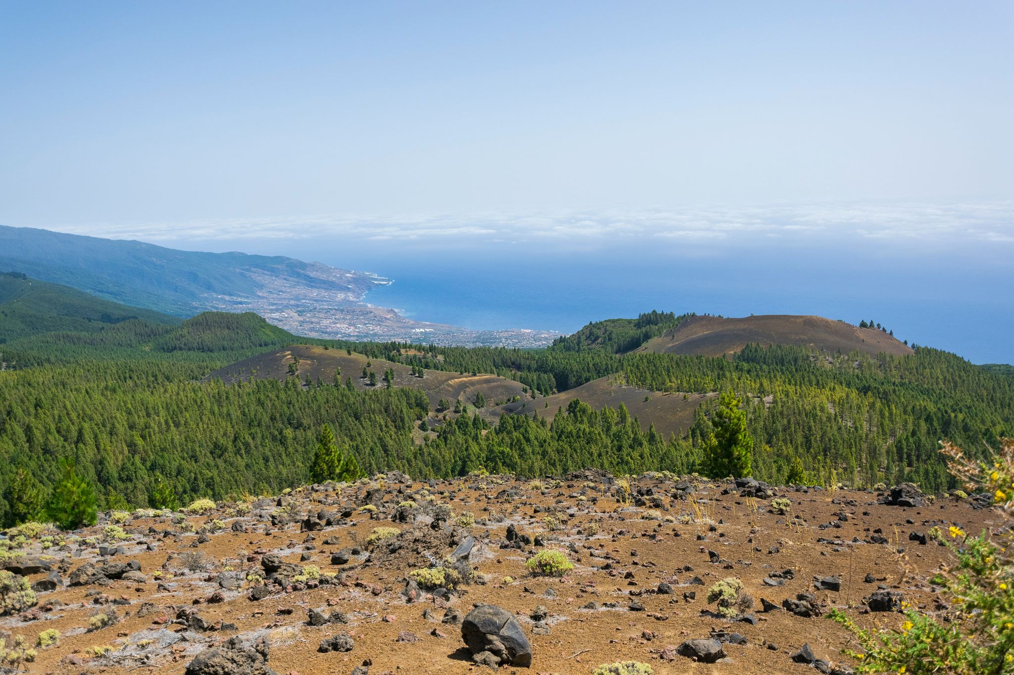
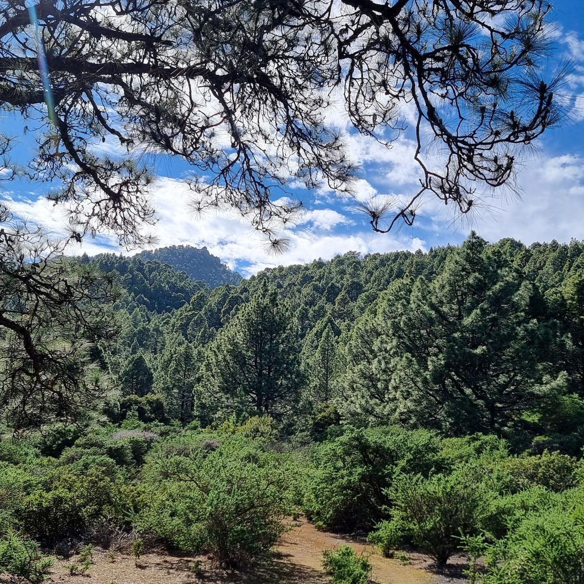
Mountaineering routes around Villa De Mazo traverse a volcanic landscape characterized by dramatic peaks and deep ravines. The region features varied terrain, from pine forests to open, rocky slopes, offering diverse challenges for mountaineers. Elevation changes are significant, with routes often leading to panoramic viewpoints over the island. This area provides a rugged environment for exploring the natural geology of La Palma.
Best mountaineering routes around Villa De Mazo
- The most popular mountaineering route is Hoyo Negro Crater – Deseada…
Last updated: August 25, 2026
4.5
(2)
18
hikers
14.5km
05:47
690m
690m
Hard mountaineering route. Very good fitness required. Mostly accessible paths. Sure-footedness required.
5.0
(2)
10
hikers
Moderate mountaineering route. Good fitness required. Easily-accessible paths. Suitable for all skill levels.

Sign up for free
3.5
(2)
6
hikers
16.9km
06:43
990m
990m
Hard mountaineering route. Very good fitness required. Mostly accessible paths. Sure-footedness required.
3
hikers
19.9km
07:51
1,030m
1,030m
Hard mountaineering route. Very good fitness required. Mostly accessible paths. Sure-footedness required.
Hard mountaineering route. Very good fitness required. Mostly accessible paths. Sure-footedness required.
Get access to more routes and recommendations from other explorers.
Sign up for free
Already have an account?
Our route recommendations are based on thousands of hikes, rides, and runs completed by other people on komoot.
Start today with a free account
Your next adventure awaits.
Login or Signup
Other adventures around Villa De Mazo

Tips from the Community

This spectacular volcanic ridge offers, on either side of the trail, wide views of the Atlantic and the pine-covered slopes. Looking ahead, you can also admire the rugged relief of the ridge.
0
0

The highest peak on the volcano route, offering a magnificent panoramic view: of the caldera, Tenerife with Mount Teide, and the next volcanic craters along the route. Caution: it can be quite windy on the ascent.
0
0

Highest point of the Ruta de los Volcanos from El Pilar to Fuencaliente
0
0
This is an easy trail that offers a good view of the caldera of the vulcano.
0
0
From this viewpoint, the Ruta de los Vulcanos curves to the right of the Volcán Duráznero, but there is another trail that takes you straight over the top of this volcano and the next one, the Deseada.
0
0
Just after the start of the 17 km long Ruta de los Vulcanos from El Pilar to Fuencaliente, you will pass the only viewpoints of the Caldera de Taburiente.
0
0
Don't forget to say a little prayer to the Madonna in the visitor centre before you set off on the 17 km hike to Fuencaliente. It just might help!
0
0

It was originally called Volcán Fuencaliente. In 1677/78, it erupted on the feast day of Saint Anthony and was renamed Volcán de San Antonio. The volcano lies at an elevation of 632 meters above sea level. At its base, it has an outer diameter of approximately 1 kilometer. Its fairly round crater is about 150 meters deep.
1
0
Frequently Asked Questions
How many mountaineering routes are available in Villa De Mazo?
Villa De Mazo offers a selection of 11 mountaineering routes. These routes cater to various skill levels, with 4 moderate and 7 difficult options, providing diverse challenges across the volcanic landscape.
What is the best time of year for mountaineering in Villa De Mazo?
The best time for mountaineering in Villa De Mazo, and La Palma generally, is during the spring (April-May) and autumn (September-November) months. During these periods, the weather is typically mild and stable, offering clear skies and comfortable temperatures for exploring the volcanic terrain. Summer can be hot, and winter might bring more unpredictable weather, especially at higher altitudes.
Are there any challenging mountaineering routes for experienced hikers in Villa De Mazo?
Yes, Villa De Mazo features several challenging routes. For a demanding experience, consider the El Rodeo – Pico Bejenado loop from La Palma, which spans 14.2 miles (22.9 km) with significant elevation changes. Another difficult option is the Hoyo Negro Crater – Deseada Peak loop from Montaña de los Tomillos, covering 9.0 miles (14.5 km) with panoramic views.
Are there circular mountaineering routes in Villa De Mazo?
Many of the mountaineering routes in Villa De Mazo are designed as loops, allowing you to start and finish at the same point. Examples include the View of Volcán de Teneguía loop from Los Canarios and the Pico Nambroque – Montaña la Barquita loop from Montaña de los Tomillos, both offering distinct volcanic scenery.
What kind of natural landmarks can I see along mountaineering routes in Villa De Mazo?
The region is rich in volcanic formations and dramatic landscapes. You can explore various gorges such as Barranco de Las Palmas or Barranco de los Palitos Blancos. Notable peaks and volcanoes like Teneguía Volcano and Martín Volcano are also prominent features.
Do I need permits for mountaineering in Villa De Mazo?
Generally, permits are not required for most standard mountaineering routes in Villa De Mazo. However, if your route enters specific protected areas or involves access to sensitive ecological zones, it's always advisable to check with the local park authorities of La Palma for any specific regulations or permit requirements, especially for larger groups or off-trail exploration.
Is parking available near the starting points of mountaineering routes in Villa De Mazo?
Yes, many popular mountaineering routes in Villa De Mazo have designated parking areas near their trailheads. These are often found at key access points or visitor centers. It's recommended to check specific route descriptions on komoot for details on parking facilities at the start of your chosen tour.
What do other mountaineers enjoy about the routes in Villa De Mazo?
Mountaineers highly rate the routes in Villa De Mazo, with an average score of 4.4 stars from over 10 reviews. Users frequently praise the dramatic volcanic landscapes, the diverse terrain ranging from pine forests to rocky slopes, and the panoramic views over the island. The challenging nature of many routes is also a significant draw for experienced hikers.
Are there any moderate mountaineering routes suitable for those with some experience but not seeking extreme difficulty?
Absolutely. Villa De Mazo offers several moderate mountaineering routes. The View of Volcán de Teneguía loop from Los Canarios is a moderate 8.0-mile (12.9 km) path offering clear views without extreme demands. Another good option is the Pico Nambroque – Montaña la Barquita loop from Montaña de los Tomillos, a 7.6-mile (12.3 km) moderate trail.
What kind of wildlife might I encounter on mountaineering routes in Villa De Mazo?
While large mammals are rare, the volcanic landscapes and pine forests of Villa De Mazo are home to various bird species, including endemic ones like the La Palma Chiffchaff. You might also spot lizards and insects unique to the Canary Islands. Keep an eye out for raptors soaring above the peaks.
Are there any cafes or places to eat near mountaineering routes in Villa De Mazo?
While many routes start from more remote areas, you'll find cafes and restaurants in the main towns and villages of Villa De Mazo and surrounding areas, such as Los Canarios or Fuencaliente de La Palma. It's advisable to plan your meals before or after your hike, or pack provisions, especially for longer routes.
Can I reach the mountaineering routes in Villa De Mazo by public transport?
Public transport on La Palma, primarily bus services (guaguas), connects many towns and villages. Some bus routes may pass near trailheads, especially those closer to populated areas. However, access to more remote mountaineering starting points might be limited, so checking specific bus schedules and routes in advance is recommended if you plan to rely on public transport.
Most popular attractions around Villa De Mazo

Get inspired with the komoot mobile app


Explore more
Browse the best Mountain Hikes & Routes in other regions.
