The best walks and hikes around San Millán / Donemiliaga
4.6
(866)
5,758
hikers
17
hikes
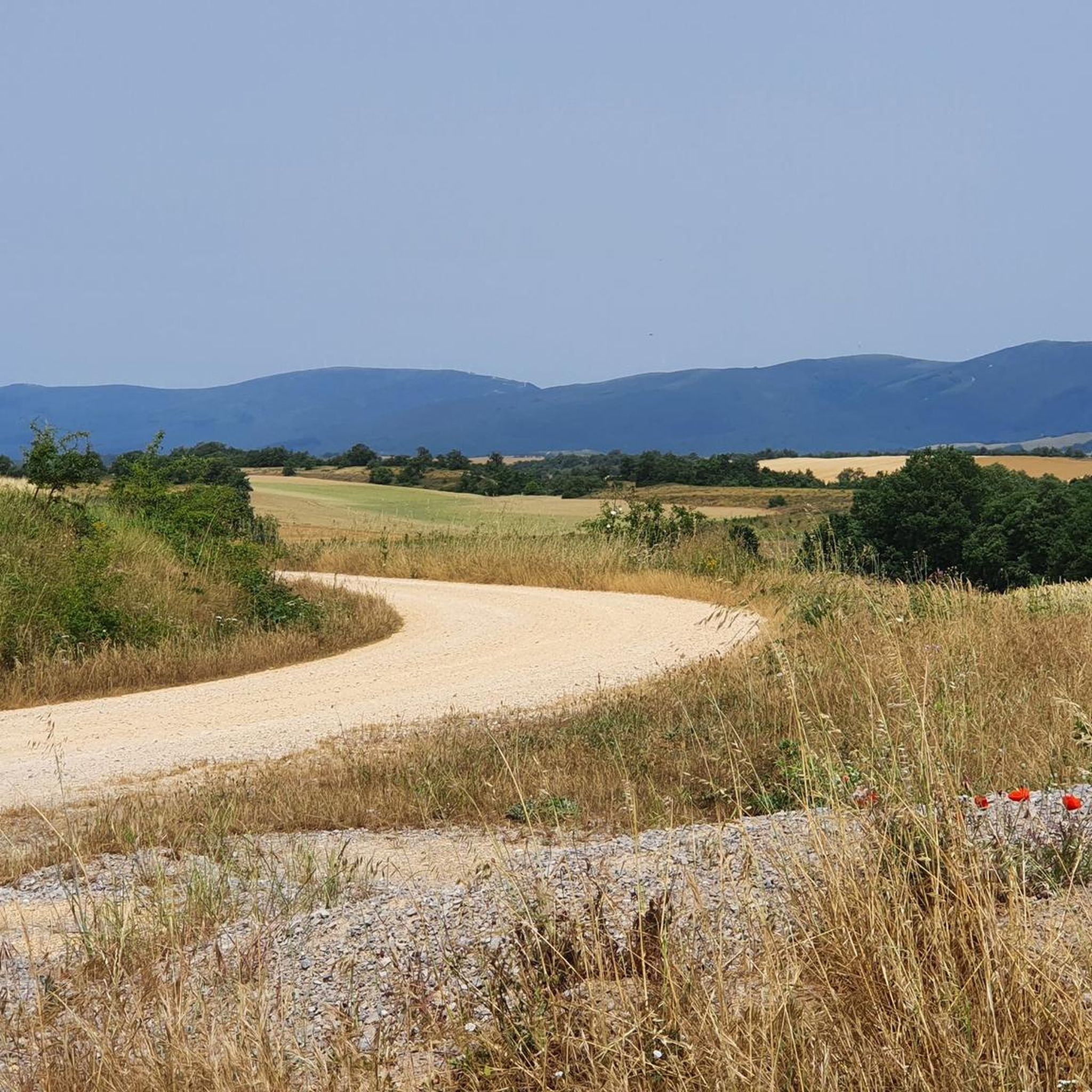
Hiking around San Millán / Donemiliaga offers diverse terrain within the province of Álava, characterized by mountainous scarps and verdant plains. To the north, the Sierra de Urkilla features peaks like Buruamendi (1152 m), while the Sierra de Entzia to the south includes summits such as San Román (1193 m). The Zadorra River flows through the municipality, and a significant portion of the area lies within the Aizkorri-Aratz Natural Park.
Best hiking trails around San Millán / Donemiliaga
- The most popular hiking route is Mirategi Summit – Bayo Summit loop from San Román de San Millán / Durruma, a 6.3 miles (10.1 km) difficult trail that takes 3 hours 53 minutes to complete. This route offers ascents to prominent summits within the Sierra de Entzia.
- Another top favourite among local hikers is GR 25 through the forest loop from Okariz, a moderate 3.3 miles (5.2 km) path. This trail winds through forested areas, providing a less strenuous option for exploring the local landscape.
- Local hikers also love the Hermitage of San Vitor – Indiagana loop from Uribarri-Jauregi, a 10.0 miles (16.1 km) trail leading through varied terrain, often completed in about 5 hours 14 minutes.
- Hiking around San Millán / Donemiliaga is defined by mountainous scarps, river valleys, and protected areas within the Aizkorri-Aratz Natural Park. The network offers options for easy, moderate, and difficult trails catering to various ability levels.
- The routes in San Millán / Donemiliaga are highly rated by the komoot community with an average score of 4.6 stars from over 750 reviews. More than 5,500 hikers have used komoot to explore San Millán / Donemiliaga's varied terrain.
Last updated: August 25, 2026
4.5
(6)
23
hikers
10.1km
03:53
570m
570m
Hard hike. Good fitness required. Sure-footedness, sturdy shoes and alpine experience required.
4.3
(3)
12
hikers
5.24km
01:39
160m
170m
Moderate hike. Great for any fitness level. Mostly accessible paths. Sure-footedness required.

Sign up for free
5.0
(2)
12
hikers
10.4km
03:31
450m
450m
Moderate hike. Good fitness required. Mostly accessible paths. Sure-footedness required.
13
hikers
Hard hike. Good fitness required. Sure-footedness, sturdy shoes and alpine experience required.
5.0
(2)
11
hikers
Hard hike. Good fitness required. Sure-footedness, sturdy shoes and alpine experience required.
Get access to more routes and recommendations from other explorers.
Sign up for free
Already have an account?
Our route recommendations are based on thousands of hikes, rides, and runs completed by other people on komoot.
Start today with a free account
Your next adventure awaits.
Login or Signup
Popular around San Millán / Donemiliaga
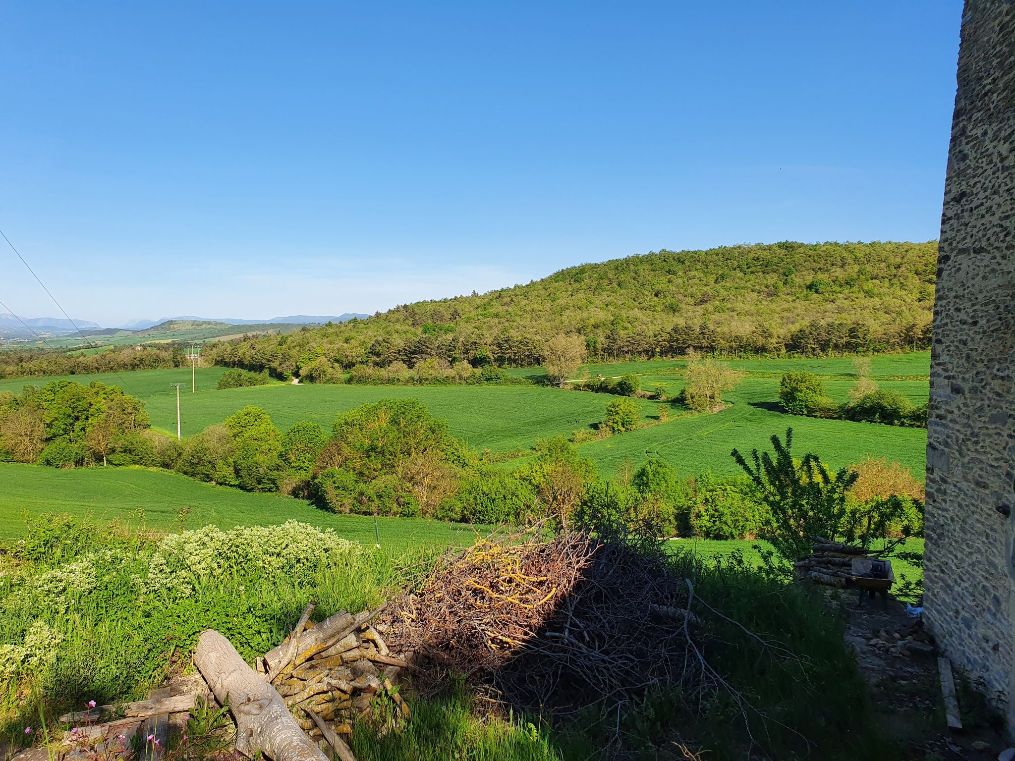
Tour through the Llanada Alavesa - On the GR 25
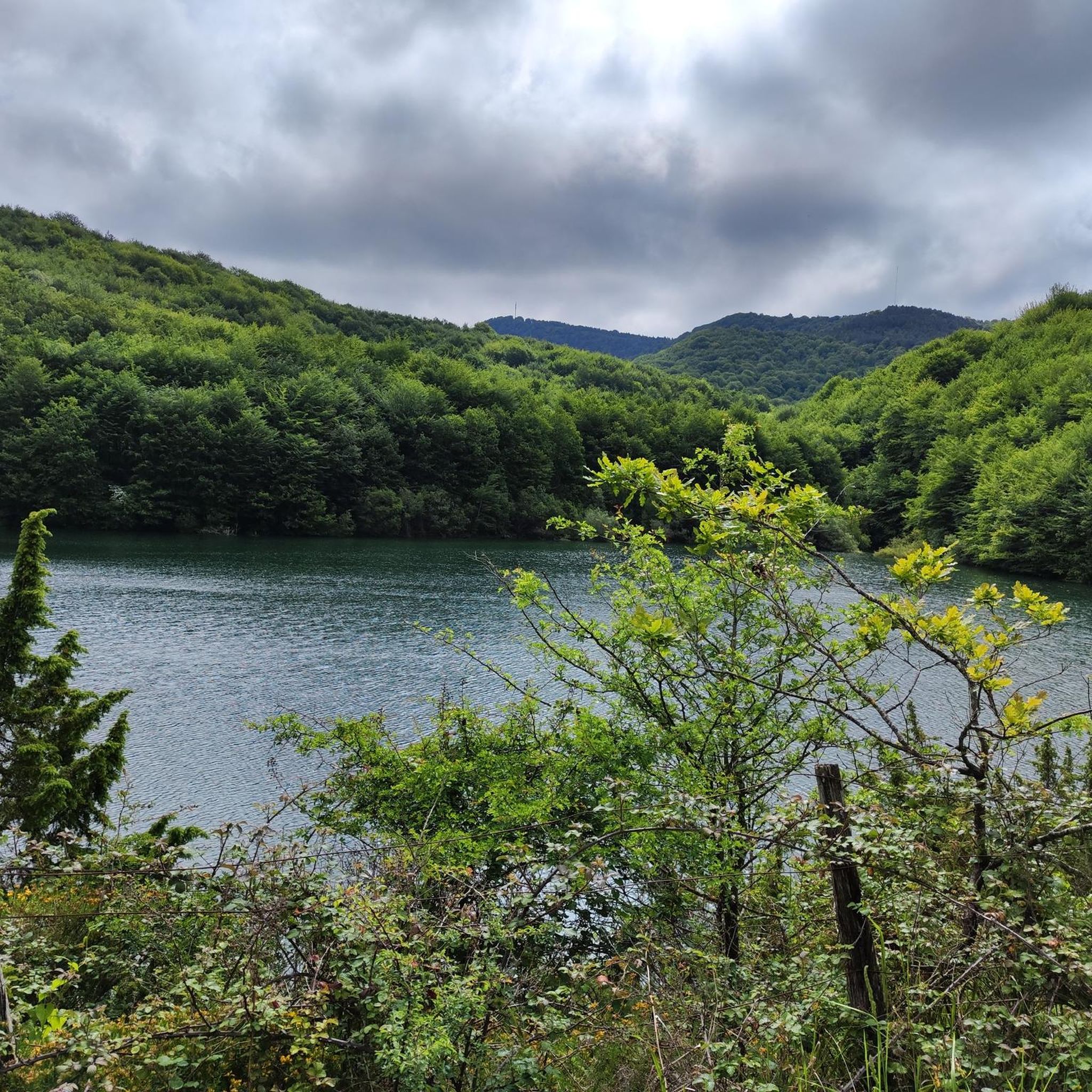
Cycling around San Millán / Donemiliaga
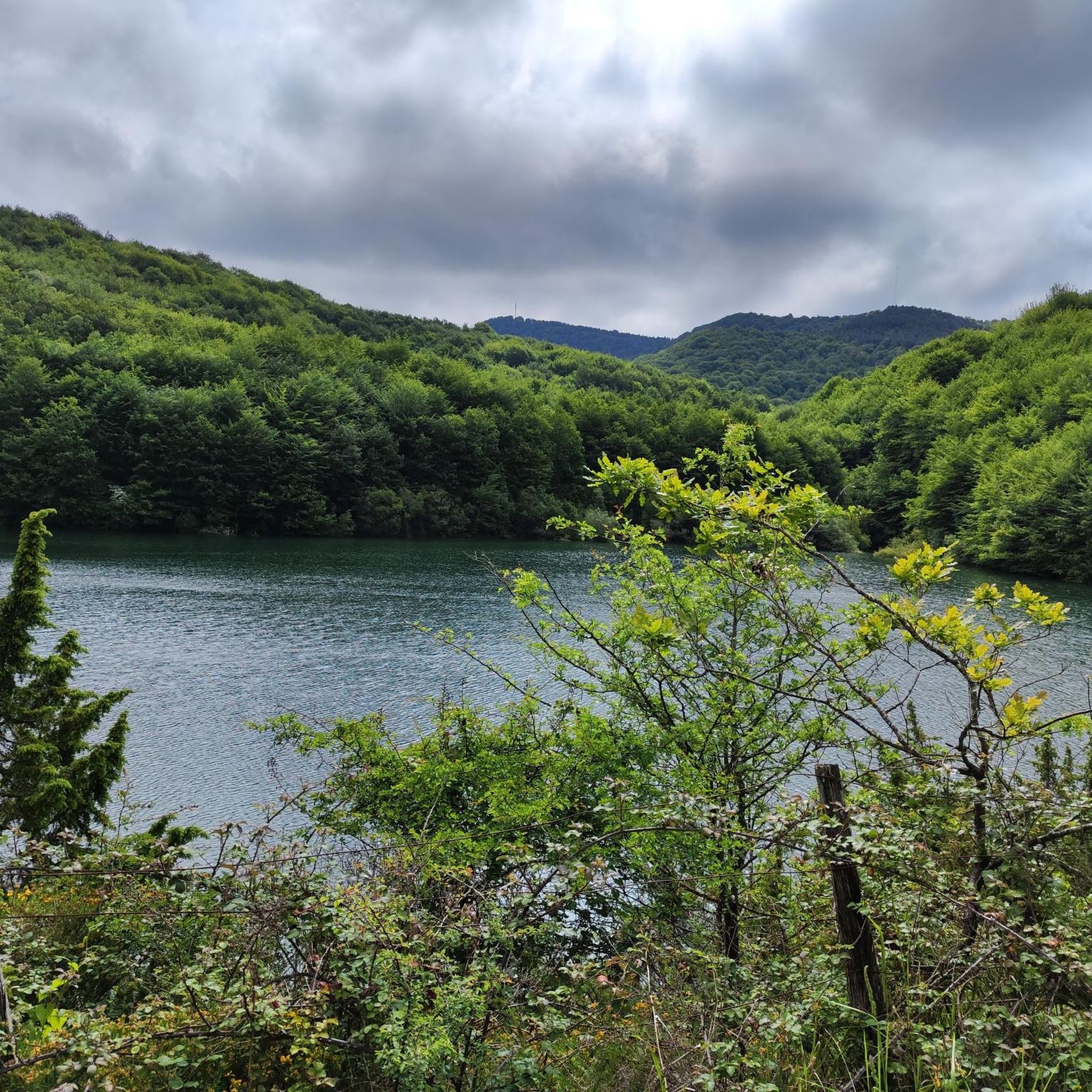
Road Cycling Routes around San Millán / Donemiliaga
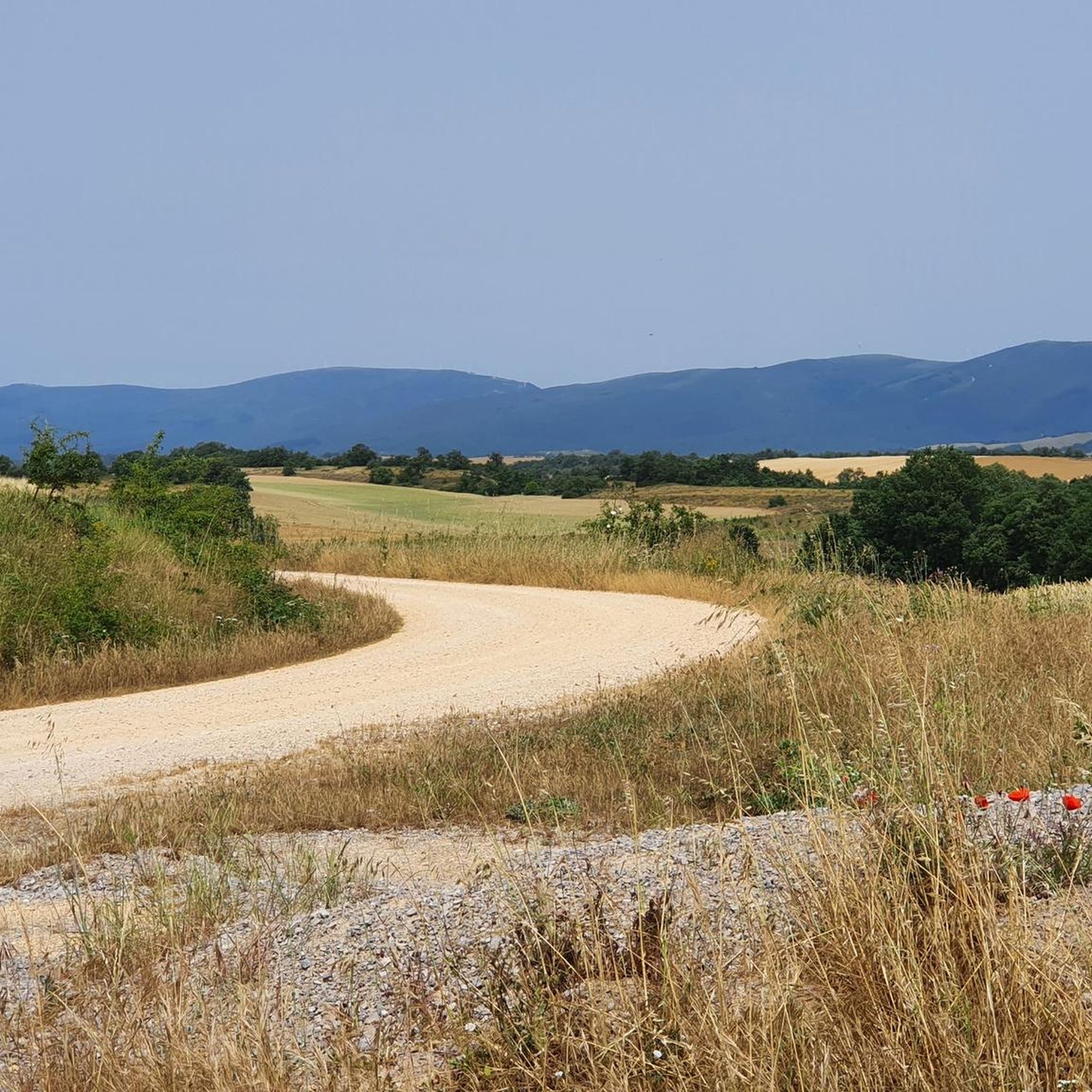
MTB Trails around San Millán / Donemiliaga

Gravel biking around San Millán / Donemiliaga
Running Trails around San Millán / Donemiliaga

Mountain Hikes around San Millán / Donemiliaga
Other adventures around San Millán / Donemiliaga

Tips from the Community

Beautiful and very well preserved.
1
0
Careful on the NE descent, it's quite slippery.
0
0
Small fountain near the hermitage of San Vitor.
2
0
Beautiful image, but when you look at it, there is almost no panoramic view.
1
0

Many sections of the GR 25 in Álava briefly leave the plain and enter the beautiful and juicy beech forest. The result is an unforgettable dense green landscape.
1
0
Frequently Asked Questions
What types of hiking trails can I find in San Millán / Donemiliaga?
San Millán / Donemiliaga offers a diverse range of hiking trails, from easy strolls to challenging mountain ascents. The region features mountainous scarps in the Sierra de Urkilla and Sierra de Entzia, alongside verdant plains and river valleys. There are 17 distinct routes available, with options for all skill levels, including 2 easy, 5 moderate, and 10 difficult trails.
Are there any easy or moderate hiking options for families or casual walkers?
Yes, there are several less strenuous options. For a moderate experience, consider the GR 25 through the forest loop from Okariz, which is 5.2 km long and winds through forested areas. The region also has two designated easy trails, perfect for a relaxed outing.
What kind of natural landmarks or viewpoints can I expect to see on the trails?
The trails in San Millán / Donemiliaga offer access to stunning natural features. You can explore the unique San Adrián Tunnel, a fascinating passage through the mountain. The area is also home to several caves like the Eye of Aitzulo and the Cueva de Los Cristinos. Many routes provide panoramic views from peaks in the Sierra de Urkilla and Sierra de Entzia.
Are there any challenging hikes for experienced trekkers?
Absolutely. The region is known for its demanding trails, particularly in the mountainous scarps. A challenging option is the Hermitage of San Vitor – Indiagana loop from Uribarri-Jauregi, a 16.1 km route that takes over 5 hours to complete and features significant elevation changes. There are 10 difficult trails in total for those seeking a rigorous adventure.
Can I find circular hiking routes in San Millán / Donemiliaga?
Yes, many of the trails are designed as circular routes, allowing you to start and end in the same location. For example, the Atauko Haitza – Mirategi Summit loop from San Román de San Millán / Durruma offers a challenging 7.9 km circular hike with rewarding views.
What is the best season to go hiking in this region?
The region's green landscapes are beautiful throughout much of the year. Spring and autumn generally offer pleasant temperatures for hiking, with vibrant foliage or blooming flora. Summer can be warm, especially on exposed mountain trails, while winter might bring snow to the higher peaks of the Sierra de Urkilla and Sierra de Entzia, offering different challenges.
Are there any historical or cultural sites to explore while hiking?
Yes, the area is rich in history. The prehistoric Eguílaz Dolmen is a significant archaeological site. Additionally, the municipality is dotted with 15 charming rural villages, each with traditional architecture, stone farmhouses, and small hermitages, offering cultural discovery alongside natural exploration.
What do other hikers say about the trails in San Millán / Donemiliaga?
The trails in San Millán / Donemiliaga are highly regarded by the komoot community, boasting an average rating of 4.6 stars from over 750 reviews. Hikers frequently praise the diverse terrain, from challenging mountain ascents to serene forest paths, and the well-maintained network of routes.
Is the Aizkorri-Aratz Natural Park accessible from San Millán / Donemiliaga?
Yes, a significant portion of the municipal territory of San Millán / Donemiliaga falls within the boundaries of the Aizkorri-Aratz Natural Park. This means many of the hiking trails will take you through this protected area of ecological value and natural beauty, offering opportunities to experience its unique flora and fauna.
Are there any routes that follow parts of the Camino de Santiago?
Yes, the area is historically significant for pilgrims. Some hiking trails in San Millán / Donemiliaga intersect with or run parallel to parts of the Camino Francés (French Way), a major route of the Camino de Santiago. The inland route through the Basque Country also traverses nearby areas, providing well-marked paths for both pilgrims and hikers.
Are there any trails that offer views of the Zadorra River?
The Zadorra River originates in Munain and flows through the municipality, fed by several streams. While specific routes directly along its banks are not highlighted, many trails in the region will traverse its valley or offer glimpses of this important waterway as it winds through the landscape.
What is the elevation gain like on the more difficult trails?
The difficult trails in San Millán / Donemiliaga, particularly those ascending the Sierra de Urkilla and Sierra de Entzia, feature substantial elevation gains. For instance, the Bayo Summit – Mirategi Summit loop from San Román de San Millán / Durruma involves over 550 meters of ascent, providing a significant workout and rewarding views from the summits.
Most popular routes around San Millán / Donemiliaga
Most popular attractions around San Millán / Donemiliaga

Get inspired with the komoot mobile app


Explore more
Browse the best Hikes in other regions.
