The best road cycling routes around Villalpardo
194
riders
13
rides
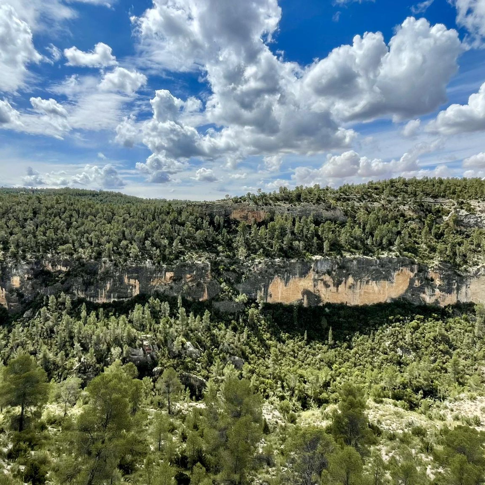
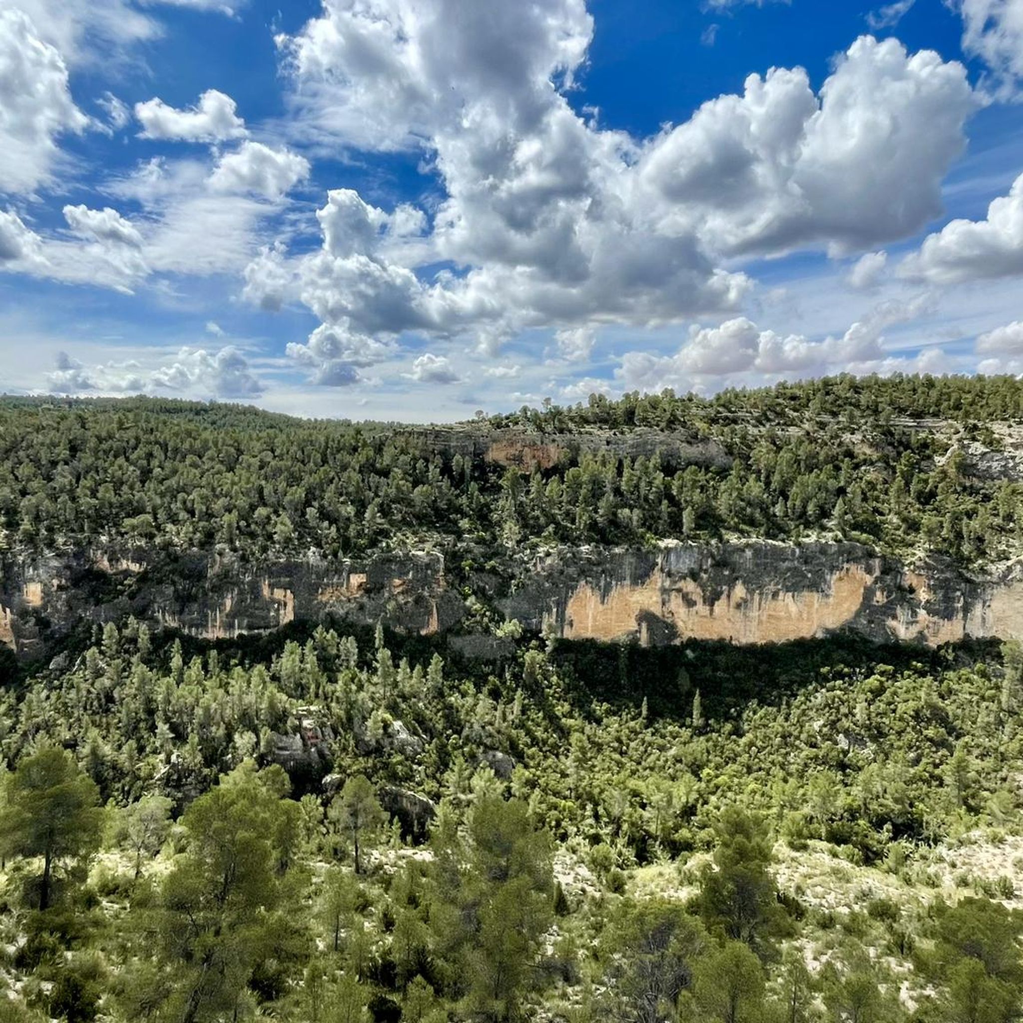
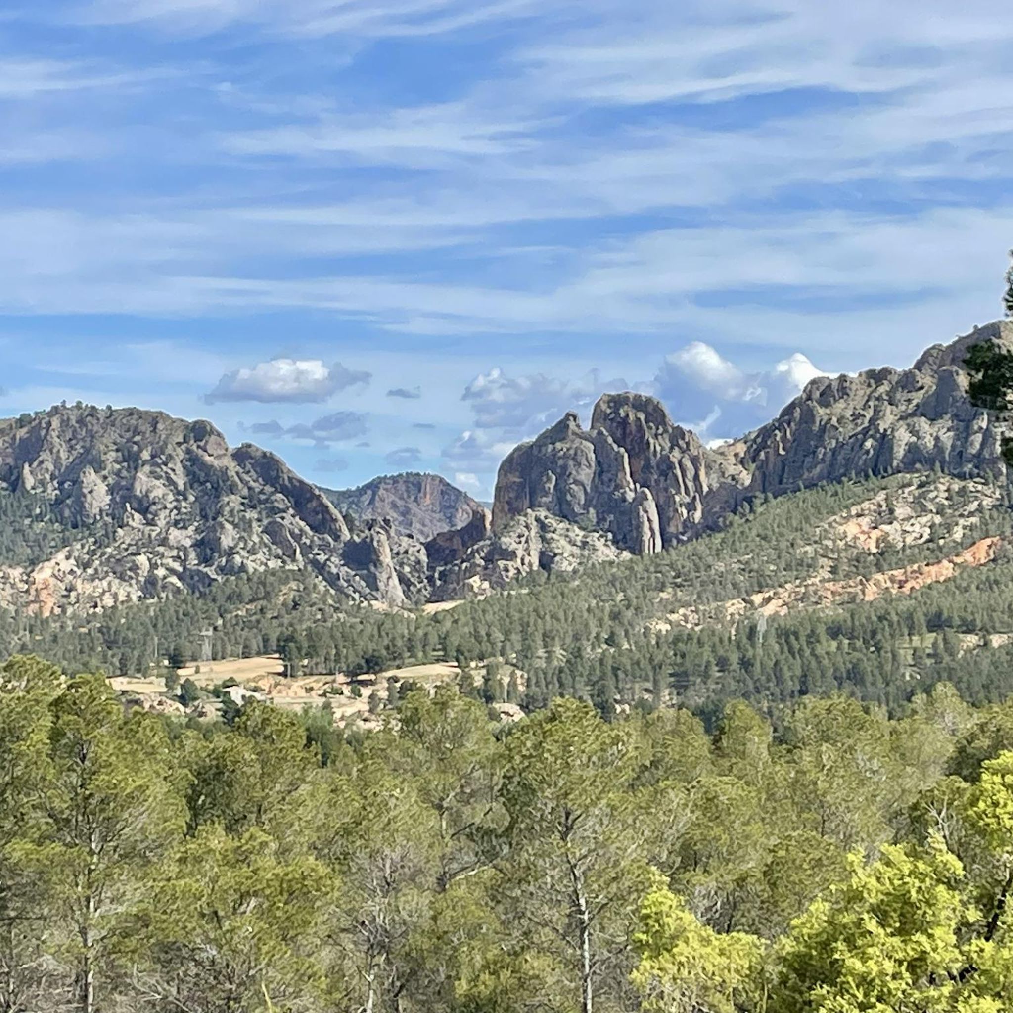
Road cycling routes around Villalpardo traverse the varied landscapes of Spain's Castilla-La Mancha region, particularly within the Manchuela area. The terrain is characterized by its proximity to the Valle del Cabriel and the Hoces del Cabriel Natural Reserve, featuring impressive gorges and cliffs carved by the Cabriel River. Cyclists encounter a mix of well-maintained gravel roads and paved sections, with opportunities to view extensive almond tree plantations in bloom during late winter and early spring. The Sierra del Rubial also…
Last updated: May 15, 2026
25
riders
109km
05:32
1,460m
1,460m
Hard road ride. Very good fitness required. Some segments of this route may be unpaved and difficult to ride.
22
riders
52.5km
02:52
800m
800m
Moderate road ride. Good fitness required. Some segments of this route may be unpaved and difficult to ride.

Sign up for free
19
riders
Hard road ride. Very good fitness required. Mostly well-paved surfaces and easy to ride.
14
riders
Hard road ride. Very good fitness required. Mostly well-paved surfaces and easy to ride.
14
riders
Moderate road ride. Good fitness required. Mostly well-paved surfaces and easy to ride.
Get access to more routes and recommendations from other explorers.
Sign up for free
Already have an account?
Our route recommendations are based on thousands of hikes, rides, and runs completed by other people on komoot.
Start today with a free account
Your next adventure awaits.
Login or Signup

Tips from the Community

Villargordo del Cabriel is a municipality in the Requena-Utiel region, in the province of Valencia. The town is located on the banks of the Cabriel River and is on the border between Castilla-La Mancha and the Valencia region. One of the biggest tourist attractions is the beautiful nature, which is remarkably well preserved.
9
0

Viewpoint next to the old N-III highway After passing the engineer's house, a turnoff leads to the viewpoint located above the old N-III highway. Sweeping views of the reservoir from a high, accessible point.
4
0
Hiking: Popular routes, such as the "Engineer's House" trail, offer viewpoints overlooking the reservoir and the Cabriel River gorges. Guided tours: Occasionally, the Hydrographic Confederation and the Villargordo Town Council organize tours and talks in the village of Contreras. Historic roads: The abandoned section of the old N-III highway and the Contreras Hills attract engineering enthusiasts, with their original 20th-century asphalt and signage.
2
0
Contreras Dam (Contreras Reservoir), located on the border between Cuenca and Valencia provinces. It lies between Villargordo del Cabriel (Valencia) and the Cuenca municipalities of La Pesquera, Mira, Enguídanos, and Minglanilla, spanning the Cabriel and Guadazaón rivers. Below the dam is the historic Contreras Bridge, built between 1845 and 1851 by Lucio del Valle, part of the old zigzag mountain pass.
2
0

It was built in 1972 at the confluence of the Cabriel and Guadazaón rivers. The dam height is 129 metres. Its purpose is, among other things, to supply water to the city of Valencia. The Contreras Bridge was built between 1845 and 1851 by the engineer Lucio del Valle. To descend the ravine, he had to build a zigzag road that formed the port of Contreras.
1
0
It was built in 1972 at the confluence of the Cabriel and Guadazaón rivers. The dam height is 129 metres. Its purpose is, among other things, to supply water to the city of Valencia. The Contreras Bridge was built between 1845 and 1851 by the engineer Lucio del Valle. To descend the ravine, he had to build a zigzag road that formed the port of Contreras.
1
0

Until 2016, it held the record for the bridge with the longest concrete arch span in Spain and stands out for its slenderness and visual beauty. Now, the largest is the Alcántara reservoir viaduct, built in 2019 for the Madrid-Extremadura High Speed line.
0
0

Be careful...I had a puncture here due to bad road surfaces
0
0
Frequently Asked Questions
What is the general difficulty level of road cycling routes around Villalpardo?
The road cycling routes around Villalpardo offer a mix of challenges. While there are some moderate options, the majority of the routes are classified as difficult, featuring significant elevation gains. For example, the Contreras Viewpoint – Cabriel Valley Viewpoint loop from Graja de Iniesta involves over 1,400 meters of elevation gain.
Are there any easier or beginner-friendly road cycling routes near Villalpardo?
Yes, while many routes are challenging, there are moderate options available. For instance, the Contreras Inn – Cabriel Valley Viewpoint loop from Graja de Iniesta is a moderate 52.5 km path with around 798 meters of elevation gain, offering scenic vistas without the most extreme climbs.
What kind of scenery can I expect while road cycling in the Villalpardo area?
The region around Villalpardo is characterized by its stunning natural beauty, particularly the dramatic gorges and cliffs carved by the Cabriel River within the Valle del Cabriel and the Hoces del Cabriel Natural Reserve. You'll also encounter extensive almond tree plantations, especially beautiful when in bloom during late winter and early spring, and the rugged slopes of the Sierra del Rubial.
Are there any notable landmarks or attractions I can visit along the road cycling routes?
Absolutely. A significant historical and scenic attraction is the 16th-century Vadocañas Bridge, a Roman-origin structure spanning the Cabriel River. Cyclists can also enjoy various viewpoints like Hoz del Rabo de la Sartén Viewpoint and La Fonseca Viewpoint, offering breathtaking views of the Cabriel Valley.
When is the best time of year to go road cycling in Villalpardo?
Late winter and early spring, specifically February and March, are particularly scenic due to the blooming almond tree plantations. Generally, spring and autumn offer pleasant temperatures for cycling. Summers can be hot, while winters are cooler but still offer good conditions, especially for enjoying the natural landscapes.
Are there family-friendly road cycling options around Villalpardo?
While the guide focuses on road cycling routes that often involve significant distances and elevation, the broader Turia-Cabriel Nature Trail, which has sections near Villalpardo, offers well-maintained gravel roads with gentler slopes. These sections might be more suitable for families looking for less strenuous rides, though specific family-friendly road cycling routes are not explicitly highlighted in the provided data.
Can I bring my dog on the road cycling routes in the Villalpardo region?
Road cycling routes, especially those on paved roads, are generally not ideal for dogs due to traffic and the nature of the activity. While the region offers natural trails like sections of the Turia-Cabriel Nature Trail, it's best to check local regulations for specific trails regarding dogs, especially within natural reserves like the Hoces del Cabriel, to ensure a safe and compliant experience.
Are there circular road cycling routes available near Villalpardo?
Yes, many of the road cycling routes around Villalpardo are designed as loops, allowing you to start and end at the same point. Examples include the Contreras Viewpoint – Cabriel Valley Viewpoint loop from Aparcamiento de emergencia Vialidad Invernal Minglanilla and the Villamalea – Villamalea loop from Aparcamiento de emergencia Vialidad Invernal Minglanilla.
What wildlife might I encounter while cycling in the area?
The rugged slopes of the Sierra del Rubial, which you may traverse on some routes, provide opportunities to spot local wildlife. Keep an eye out for mountain goats, deer, and wild boar, which inhabit this natural environment.
Are there places to eat or stay in Villalpardo for cyclists?
Villalpardo, as a municipality, offers basic amenities. While specific cafes, pubs, or accommodations are not detailed in the route data, it serves as a base for exploring the region. You can expect to find local establishments for refreshments and rural accommodation options within the village or nearby towns in the Manchuela region.
What are the best viewpoints for scenic photos along the routes?
The region is rich in scenic viewpoints, particularly those overlooking the Cabriel River. The Hoz del Rabo de la Sartén Viewpoint and La Fonseca Viewpoint are highly recommended for capturing the dramatic gorges and cliffs of the Cabriel Valley.
How accessible is Villalpardo by public transport for cyclists?
Villalpardo is located in the Manchuela region, close to the A-3 highway, making it generally accessible by road. However, specific public transport options for cyclists, such as buses or trains that accommodate bikes directly to Villalpardo or nearby starting points, are not detailed. It's advisable to check local bus services from larger cities like Cuenca for their bike carriage policies.
Are there any permits required for cycling in the natural parks around Villalpardo?
The area includes protected zones like the Hoces del Cabriel Natural Reserve. While general road cycling on public roads typically doesn't require permits, if you plan to venture onto specific trails or within sensitive areas of the natural parks, it's always best to consult the regional environmental authorities of Castilla-La Mancha for any specific regulations or permit requirements.
Most popular routes around Villalpardo
Most popular attractions around Villalpardo

Get inspired with the komoot mobile app


Explore more
Browse the best Road cycling routes in other regions.
