The best cycling routes around Villarta
5.0
(3)
93
riders
13
rides
Touring cycling around Villarta offers routes through a landscape characterized by rolling hills and agricultural plains. The region features varied terrain, including areas near the Cabriel River, providing a mix of open stretches and more secluded paths. Elevation changes are present, with some routes featuring significant climbs, making it suitable for cyclists seeking both moderate and challenging experiences.
Best touring cycling routes around Villarta
- The most popular touring cycling route is Contreras Dam – Cabriel Valley Viewpoint loop from Villarta…
Last updated: July 8, 2026
38
riders
74.3km
07:19
960m
960m
Hard bike ride. Very good fitness required. You may need to push your bike for some segments of this route.
14
riders
37.6km
03:31
300m
300m
Hard bike ride. Good fitness required. You may need to push your bike for some segments of this route.

Sign up for free
7
riders
43.6km
04:23
630m
630m
Hard bike ride. Very good fitness required. Mostly paved surfaces. Suitable for all skill levels.
4
riders
62.7km
04:06
880m
880m
Hard bike ride. Very good fitness required. Mostly paved surfaces. Suitable for all skill levels.
2
riders
20.0km
01:36
200m
200m
Moderate bike ride. Good fitness required. Mostly paved surfaces. Suitable for all skill levels.
Get access to more routes and recommendations from other explorers.
Sign up for free
Already have an account?
Our route recommendations are based on thousands of hikes, rides, and runs completed by other people on komoot.
Start today with a free account
Your next adventure awaits.
Login or Signup
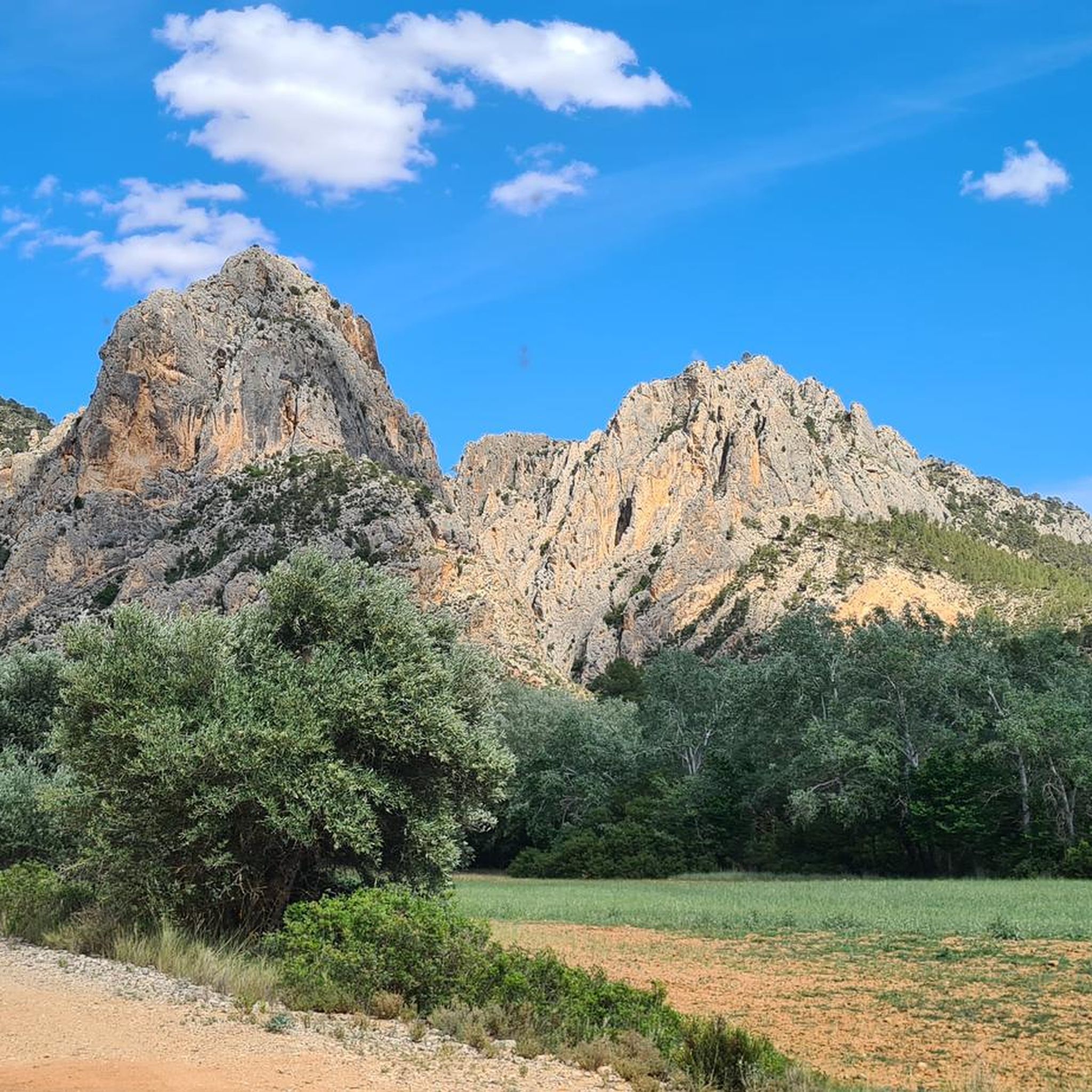

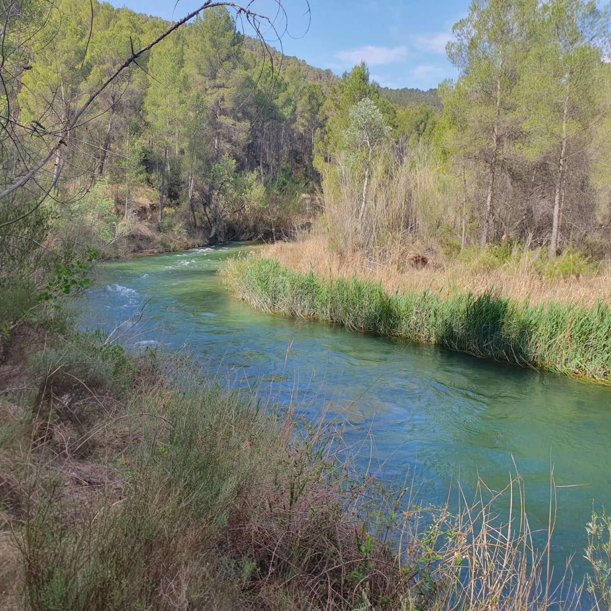

Tips from the Community

Beautiful viewpoint of the dam, the river and the factory.
11
0
The Contreras dam (Embalse de Contreras) is a 129-meter-high arch dam built in 1972. Located on the border of the provinces of Cuenca (Castilla-La Mancha) and Valencia, the dam spans the Cabriel and Guadazaón rivers. The reservoir serves mainly for water supply, flood protection, and irrigation.
11
1
Villargordo del Cabriel is a municipality in the Requena-Utiel region, in the province of Valencia. The town is located on the banks of the Cabriel River and is on the border between Castilla-La Mancha and the Valencia region. One of the biggest tourist attractions is the beautiful nature, which is remarkably well preserved.
14
0

Viewpoint next to the old N-III highway After passing the engineer's house, a turnoff leads to the viewpoint located above the old N-III highway. Sweeping views of the reservoir from a high, accessible point.
4
0
Hiking: Popular routes, such as the "Engineer's House" trail, offer viewpoints overlooking the reservoir and the Cabriel River gorges. Guided tours: Occasionally, the Hydrographic Confederation and the Villargordo Town Council organize tours and talks in the village of Contreras. Historic roads: The abandoned section of the old N-III highway and the Contreras Hills attract engineering enthusiasts, with their original 20th-century asphalt and signage.
9
0
Contreras Dam (Contreras Reservoir), located on the border between Cuenca and Valencia provinces. It lies between Villargordo del Cabriel (Valencia) and the Cuenca municipalities of La Pesquera, Mira, Enguídanos, and Minglanilla, spanning the Cabriel and Guadazaón rivers. Below the dam is the historic Contreras Bridge, built between 1845 and 1851 by Lucio del Valle, part of the old zigzag mountain pass.
10
0

It was built in 1972 at the confluence of the Cabriel and Guadazaón rivers. The dam height is 129 metres. Its purpose is, among other things, to supply water to the city of Valencia. The Contreras Bridge was built between 1845 and 1851 by the engineer Lucio del Valle. To descend the ravine, he had to build a zigzag road that formed the port of Contreras.
2
1

The bridge is built of carved stone and is founded with the same rocks that can be found on the banks of the river. Its single eye has about 33 m of span, making it one of the largest bridges of its kind not only in Spain, but also on the European continent.
0
0
Frequently Asked Questions
How many touring cycling routes are available in Villarta?
There are over 10 touring cycling routes around Villarta, offering a variety of experiences for different skill levels. You'll find a mix of easy, moderate, and difficult options to explore the region's landscapes.
Are there any easy touring cycling routes suitable for beginners in Villarta?
Yes, Villarta offers at least one easy touring cycling route. These routes are generally calmer and have mostly paved surfaces, making them suitable for those new to touring cycling or looking for a relaxed ride.
What kind of landscapes can I expect to see while cycling in Villarta?
Touring cycling in Villarta takes you through diverse landscapes characterized by rolling hills and agricultural plains. You'll also find routes near the Cabriel River, offering a mix of open stretches and more secluded paths, with some featuring significant climbs and river valleys.
Are there challenging routes for experienced touring cyclists?
Absolutely. Villarta features several difficult touring cycling routes with substantial elevation gains. For instance, the Contreras Dam – Cabriel Valley Viewpoint loop from Villarta is a challenging 38.9-mile route with over 870 meters of ascent. Another demanding option is the Plaza de Toros loop from Ledaña, which includes a climb of over 290 meters.
Are there circular cycling routes in Villarta?
Yes, many of the touring cycling routes in Villarta are designed as loops, allowing you to start and finish at the same point. Examples include the Contreras Dam – Cabriel Valley Viewpoint loop from Villarta and the Iniesta loop from Ledaña, which takes you through agricultural landscapes.
What interesting places can I explore near the cycling routes in Villarta?
Near the cycling routes, you can discover several points of interest. Highlights include the historic Vadocañas Bridge, sections of the Turia-Cabriel Nature Trail, and the scenic Cabriel River. For stunning views, consider visiting viewpoints like Hoz del Rabo de la Sartén Viewpoint and La Fonseca Viewpoint.
What do other touring cyclists enjoy most about cycling in Villarta?
The area is highly rated by the komoot community, with an average score of 5.0 stars. Reviewers often praise the varied terrain, which offers options for different ability levels, from moderate rides to more difficult routes with significant climbs, and the scenic beauty of the rolling hills and river valleys.
Are there routes that offer scenic viewpoints?
Yes, several routes provide access to breathtaking viewpoints. The Contreras Dam – Cabriel Valley Viewpoint loop from Villarta, for example, offers views of the Cabriel Valley. Additionally, highlights like Hoz del Rabo de la Sartén Viewpoint and La Fonseca Viewpoint are accessible near some routes, providing panoramic vistas of the gorges and natural landscapes.
What is the typical duration for touring cycling routes in Villarta?
Route durations vary depending on distance and difficulty. For example, the Iniesta loop from Ledaña, a moderate 22.6-mile trail, typically takes about 3 hours 3 minutes. More challenging routes like the Contreras Dam – Cabriel Valley Viewpoint loop can take around 4 hours 5 minutes.
Where can I find parking for touring bike routes in Villarta?
While specific parking details for each route are best checked on the individual komoot tour pages, routes often start from towns or villages like Villarta or Ledaña, where public parking may be available. It's advisable to look for parking options near the designated starting points of your chosen route.
Are there any routes that pass by the Cabriel River?
Yes, the region's landscape is characterized by areas near the Cabriel River. Routes like the Contreras Dam – Cabriel Valley Viewpoint loop from Villarta offer views of the Cabriel Valley, and the Cabriel River itself is a notable natural feature in the area.
Most popular attractions around Villarta

Get inspired with the komoot mobile app


Explore more
Browse the best Cycling routes in other regions.
