The best walks and hikes around Pájara
4.5
(7585)
39,488
hikers
355
hikes
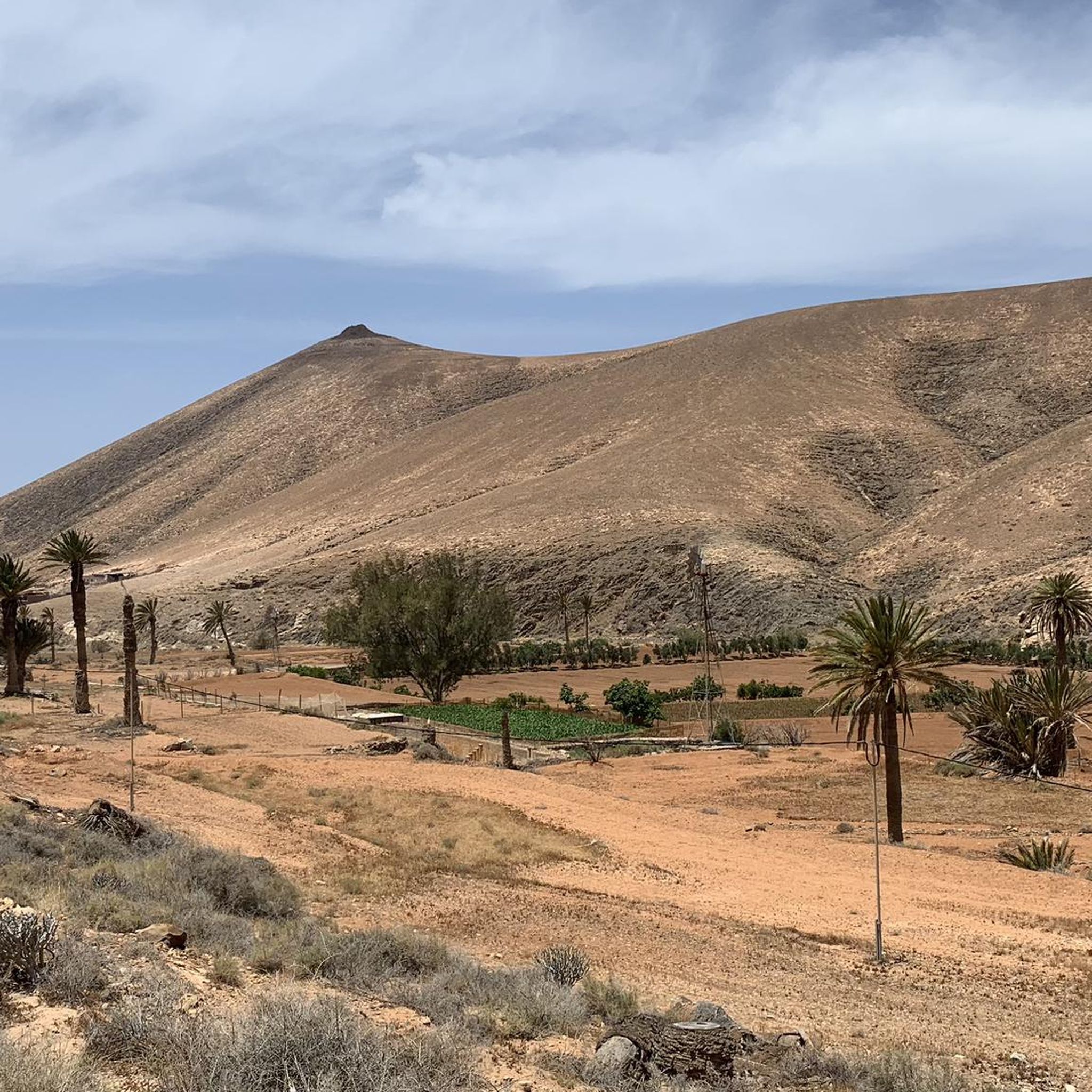
Hiking around Pájara offers diverse and dramatic landscapes in Fuerteventura's "wild south." The region features extensive beaches, volcanic ridges, and a rugged coastline. Jandía Natural Park covers a significant portion of the municipality, showcasing the island's greatest differences in altitude, including Pico de la Zarza, the highest point at 807 meters. This varied terrain provides a range of hiking experiences.
Best hiking trails around Pájara
- The most popular hiking route is Alto de Agua Oveja and West Coast Loop, a 8.6 miles (13.8 km) moderate trail that takes 3 hours 56 minutes to complete, offering exploration of the west coast.
- Another top favourite among local hikers is Gran Valle - Cofete Trail (PR-FV 55), a difficult 8.6 miles (13.9 km) path. This challenging hike features significant elevation gain and provides coastal views of Cofete Beach.
- Local hikers also love the Ajuy Caves and Peña Horadada Trail, a 3.0 miles (4.8 km) trail leading through the unique area around Ajuy, often completed in about 1 hour 20 minutes.
- Hiking around Pájara is defined by volcanic ridges, extensive beaches, and a rugged coastline within the Jandía Natural Park. The network offers options for different ability levels, from easy coastal walks to challenging mountain ascents.
- The routes in Pájara are highly rated by the komoot community with an average score of 4.5 stars from over 6,900 reviews. More than 36,000 hikers have used komoot to explore Pájara's varied terrain.
Last updated: June 23, 2026
4.5
(168)
435
hikers
13.8km
03:56
290m
290m
Moderate hike. Good fitness required. Mostly accessible paths. Sure-footedness required.
4.8
(163)
720
hikers
13.8km
05:21
590m
590m
Hard hike. Very good fitness required. Mostly accessible paths. Sure-footedness required.

Sign up for free
4.7
(163)
533
hikers
4.79km
01:20
90m
90m
Easy hike. Great for any fitness level. Easily-accessible paths. Suitable for all skill levels.
4.6
(131)
472
hikers
18.5km
06:19
830m
830m
Hard hike. Very good fitness required. Mostly accessible paths. Sure-footedness required.
4.7
(69)
279
hikers
13.9km
03:45
170m
170m
Moderate hike. Good fitness required. Mostly accessible paths. Sure-footedness required.
Get access to more routes and recommendations from other explorers.
Sign up for free
Already have an account?
Our route recommendations are based on thousands of hikes, rides, and runs completed by other people on komoot.
Start today with a free account
Your next adventure awaits.
Login or Signup
Popular around Pájara
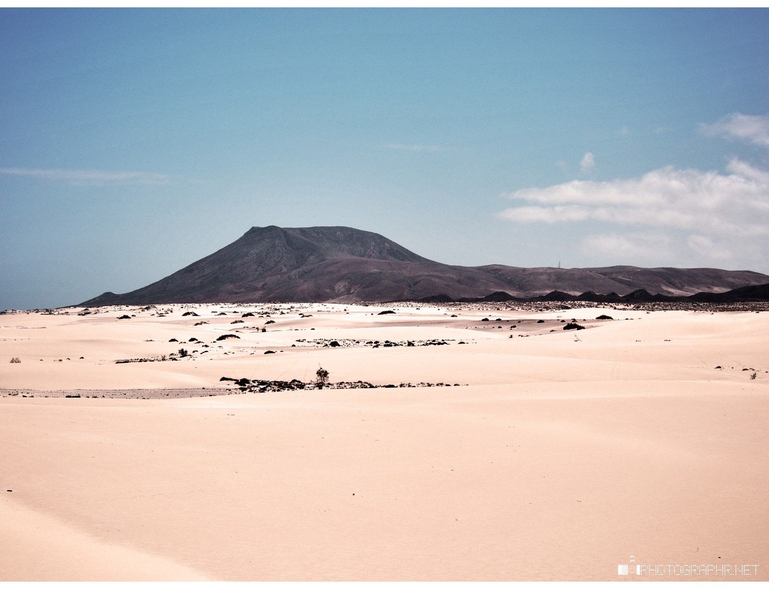
Land of sand and sea – Fuerteventura Nature Trail (GR 131)
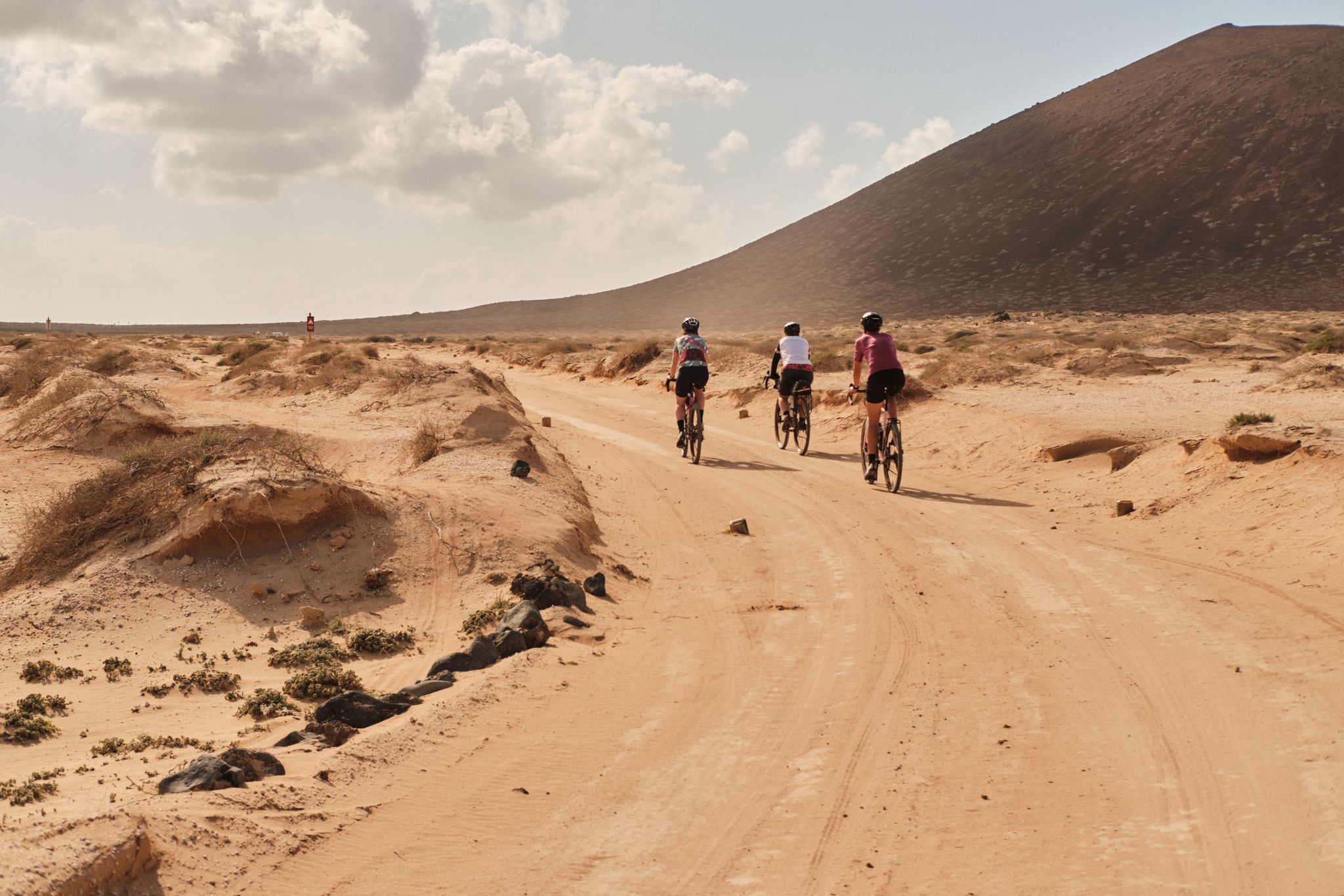
GranGuanche gravel – Komoot women's rally 2023
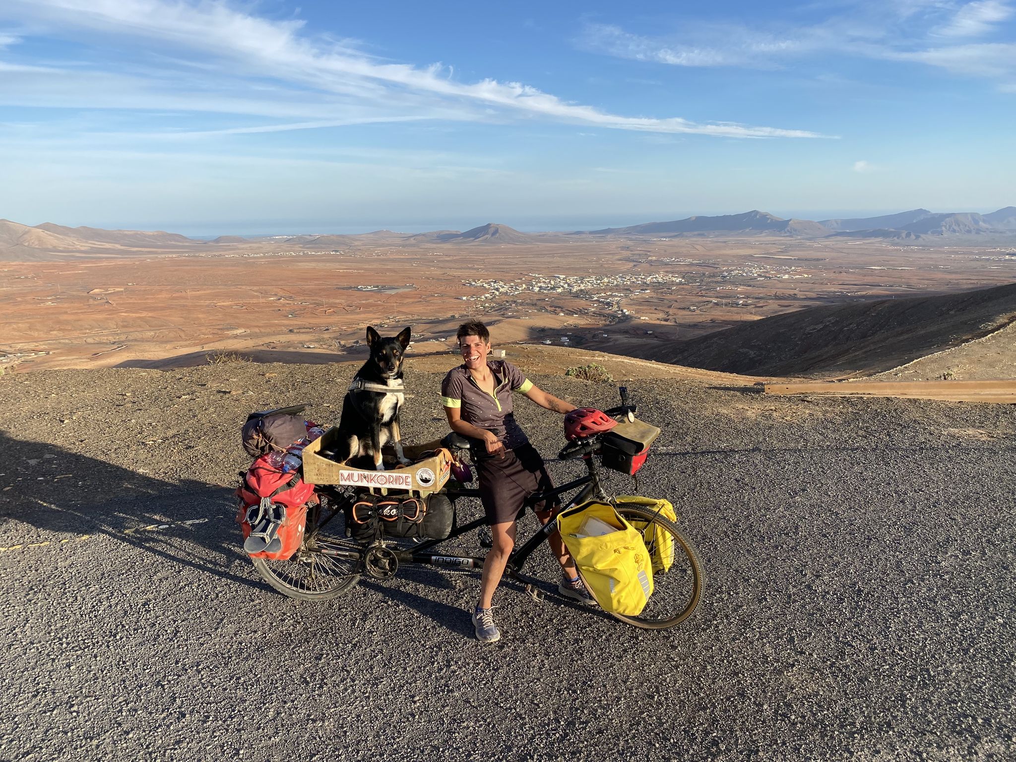
A lunar expedition – Fuerteventura on wheels
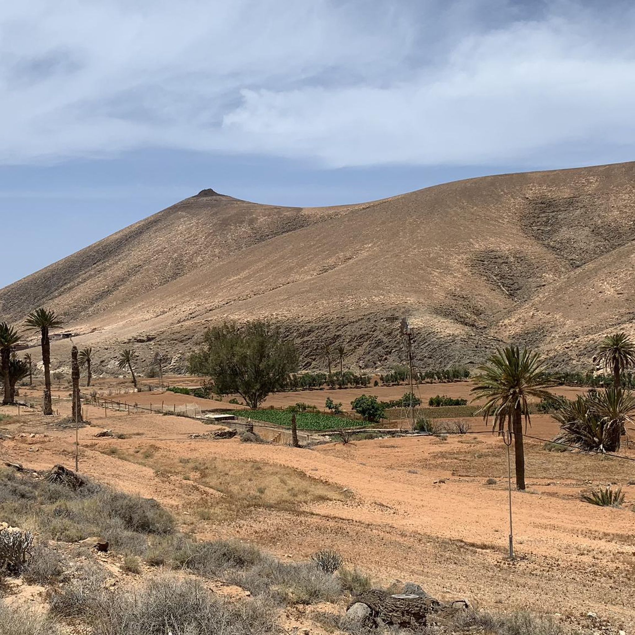
Road Cycling Routes around Pájara
MTB Trails around Pájara
Running Trails around Pájara
Cycling around Pájara

Gravel biking around Pájara

Mountain Hikes around Pájara


Tips from the Community

Very nice path with a view of Pico de la Zazar.
2
0

Sturdy footwear and enough to drink, as well as sun protection, are important. Be careful when walking... Lots of stones and steep cliffs. Go down at the right spot! Not entirely safe. But for that, an impressive spectacle of the Atlantic Ocean.
0
0

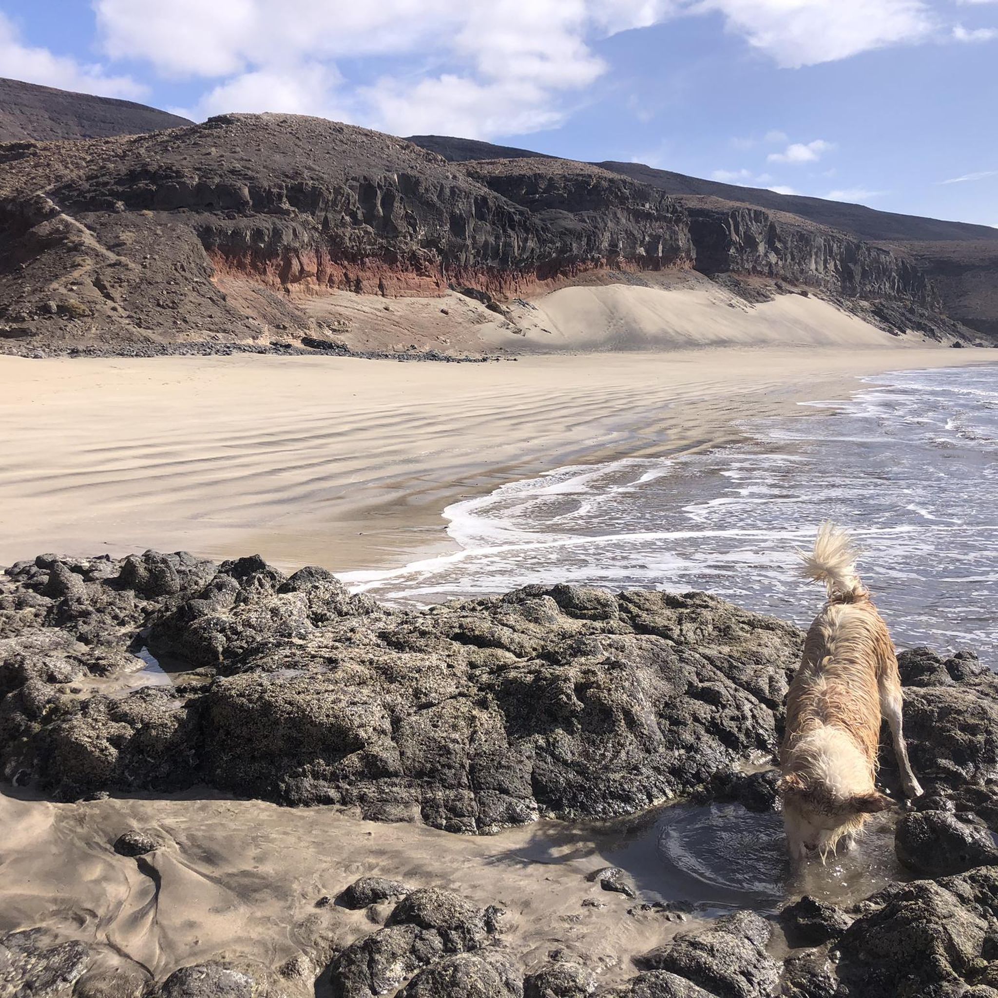
A visually very beautiful stretch of beach. However, at high tide it can only be crossed by climbing over the rocks.
0
0

From up here you have a wonderful view of the west and east coast!
0
0

The alternating rocks and sand are beautiful. There's always something interesting to discover.
9
0
The two-story lime kilns were used for burning lime until the second half of the 19th century. The burnt lime was loaded onto ships below the kilns, shipped primarily to Gran Canaria, and for a long time was the island's main source of income. A fire was stoked in the lower part of the kilns, and the resulting heat burned the lime in the upper part.
8
0

It's actually a non-place. Apparently it's only busy on weekends.
0
0
Frequently Asked Questions
How many hiking trails are available in Pájara?
Pájara offers a wide variety of hiking experiences, with over 350 routes documented. These trails explore the diverse landscapes of Fuerteventura's 'wild south', from volcanic ridges to extensive beaches and rugged coastlines.
What kind of terrain can I expect on hikes in Pájara?
The terrain in Pájara is incredibly varied. You'll find everything from the expansive golden sands of Sotavento Beach and the dramatic coastal cliffs of Cofete, to the rugged volcanic slopes leading up to Pico de la Zarza. Some routes also pass through unique features like the black sand beach and sea caves at Ajuy, or the desert-like setting of the Arco de las Peñitas.
Are there hiking trails suitable for beginners or those looking for an easy walk?
Yes, Pájara has over 160 easy routes perfect for beginners or a relaxed stroll. A popular choice is the Ajuy Caves and Peña Horadada Trail, an easy 3.0-mile circular route that allows you to explore the unique sea caves and the charming fishing village of Ajuy.
Where can I find challenging hikes with significant elevation gain in Pájara?
For experienced hikers seeking a challenge, Pájara offers over 50 difficult routes. The ascent to Pico de la Zarza, the highest point in Fuerteventura, provides substantial elevation gain and stunning coastal views. The Gran Valle - Cofete Trail (PR-FV 55) is another challenging option, offering breathtaking views of the remote Cofete Beach.
What natural landmarks or attractions can I see while hiking in Pájara?
Pájara is rich in natural landmarks. You can explore the fascinating Ajuy Caves, hike to the summit of Pico de la Zarza for panoramic views, or discover the impressive Arco de las Peñitas natural arch. Many trails also offer views of the beautiful Sotavento Beaches and the vast Cofete Beach.
Are there any circular hiking routes in Pájara?
Yes, Pájara features several excellent circular routes. The Alto de Agua Oveja and West Coast Loop is a moderate 8.6-mile option, while the Ajuy Caves and Peña Horadada Trail offers an easier 3.0-mile loop. For a more strenuous circular hike, consider the Pico de la Zarza por la ruta alternativa — circular desde Piedras Caídas.
What is the best time of year to go hiking in Pájara?
Pájara enjoys pleasant weather year-round, making it an ideal hiking destination in any season. The average annual temperature is around 21°C, ensuring comfortable conditions for exploring the trails throughout the year.
What do other hikers enjoy the most about hiking in Pájara?
The hiking trails in Pájara are highly rated by the komoot community, with an average score of 4.5 stars from over 6,900 reviews. Hikers frequently praise the region's diverse and dramatic landscapes, from stunning coastal views to challenging mountain ascents, and the variety of routes available for all skill levels.
Are there any specific permits or regulations for hiking in Jandía Natural Park?
While most trails in Jandía Natural Park are freely accessible, it's always advisable to check local regulations, especially for sensitive areas or specific activities. For general information about the area, you can visit visitjandia.es.
Can I bring my dog on the hiking trails in Pájara?
Many trails in Pájara are suitable for dogs, especially those in open, natural areas. However, it's important to keep your dog on a leash, especially in protected areas like Jandía Natural Park, to protect wildlife and ensure the safety of other hikers. Always carry water for your pet, as some routes can be exposed.
Are there options for public transport to reach hiking trailheads in Pájara?
Public transport options to specific trailheads can be limited in some of the more remote parts of Pájara, particularly within Jandía Natural Park. However, major towns like Morro Jable and Ajuy are accessible by bus, and some trails start directly from or near these locations. For more remote starting points, a rental car is often recommended.
What should I wear and bring for hiking in Pájara?
Given the varied terrain and year-round pleasant weather, layers are always a good idea. Sturdy hiking shoes are essential, especially for rocky or uneven paths. Don't forget sun protection (hat, sunscreen), plenty of water, and snacks. For challenging routes or longer hikes, a map, compass or GPS device, and a fully charged phone are also recommended.
Most popular attractions around Pájara

Get inspired with the komoot mobile app


Explore more
Browse the best Hikes in other regions.
