The best running trails around Mungia
4.4
(58)
1,801
runners
33
runs
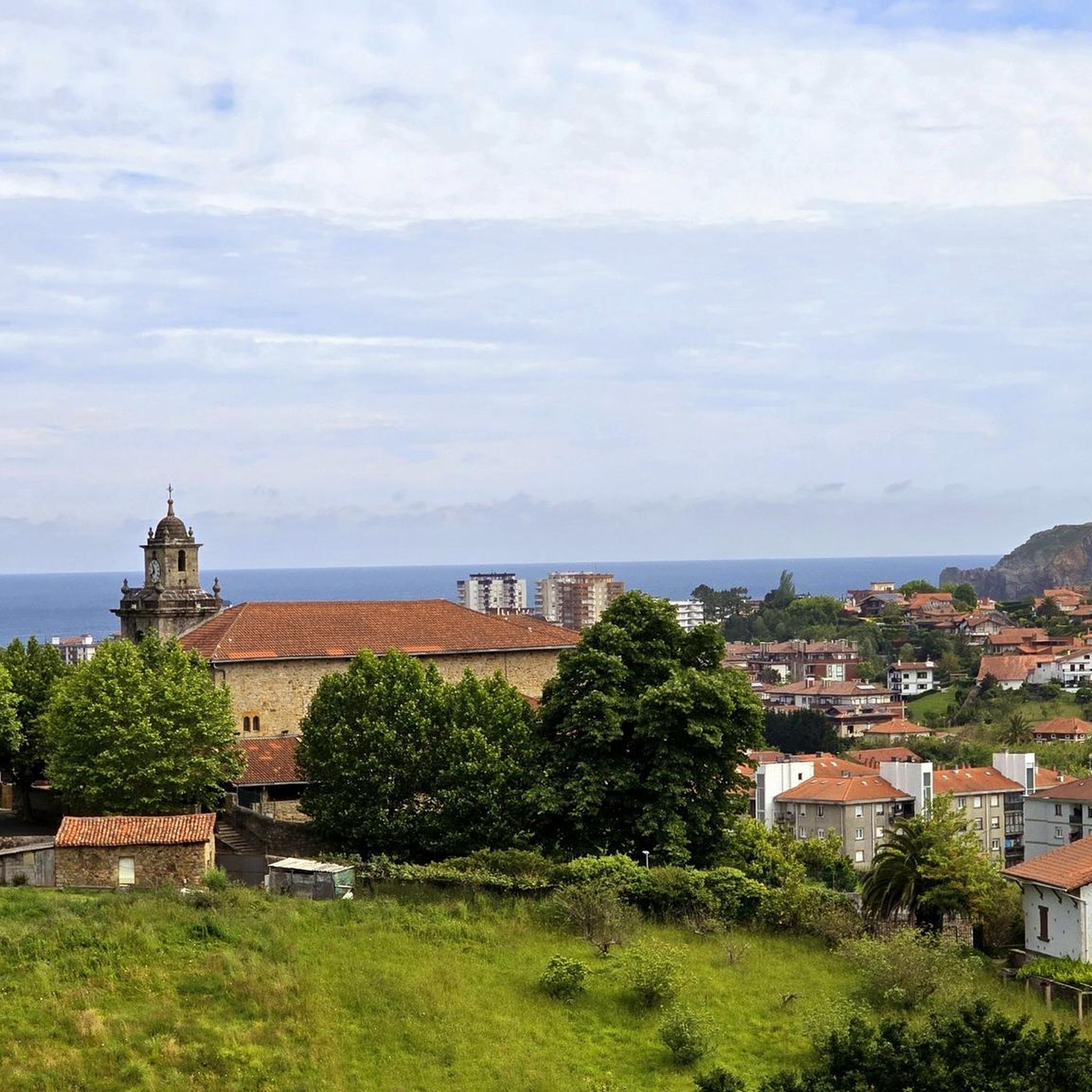
Jogging around Mungia offers diverse natural landscapes, characterized by rolling hills and lush green valleys. The region features prominent hills like Gondramendi and Tallu, with more imposing mountains such as Sollube and Jata encircling the Butroi river valley. The Tallu Forest provides ample open spaces and varied terrain for running. This geography creates a network of routes suitable for different fitness levels, from gentle valley paths to challenging mountain ascents.
Best jogging routes around Mungia
- The most popular jogging route…
Last updated: October 22, 2026
3.0
(10)
60
runners
9.79km
01:02
100m
100m
Moderate run. Good fitness required. Mostly paved surfaces.
50
runners
32.5km
04:15
1,070m
1,070m
Hard run. Very good fitness required. Mostly paved surfaces.

5.0
(1)
40
runners
26.6km
03:51
1,250m
1,250m
Hard run. Very good fitness required. Mostly paved surfaces.
15
runners
12.8km
01:42
430m
430m
Hard run. Very good fitness required. Mostly paved surfaces.
12
runners
9.98km
01:03
120m
120m
Moderate run. Good fitness required. Mostly paved surfaces.
Get access to more routes and recommendations from other explorers.
Already have an account?
Our route recommendations are based on thousands of hikes, rides, and runs completed by other people on komoot.
Start today with a free account
Your next adventure awaits.
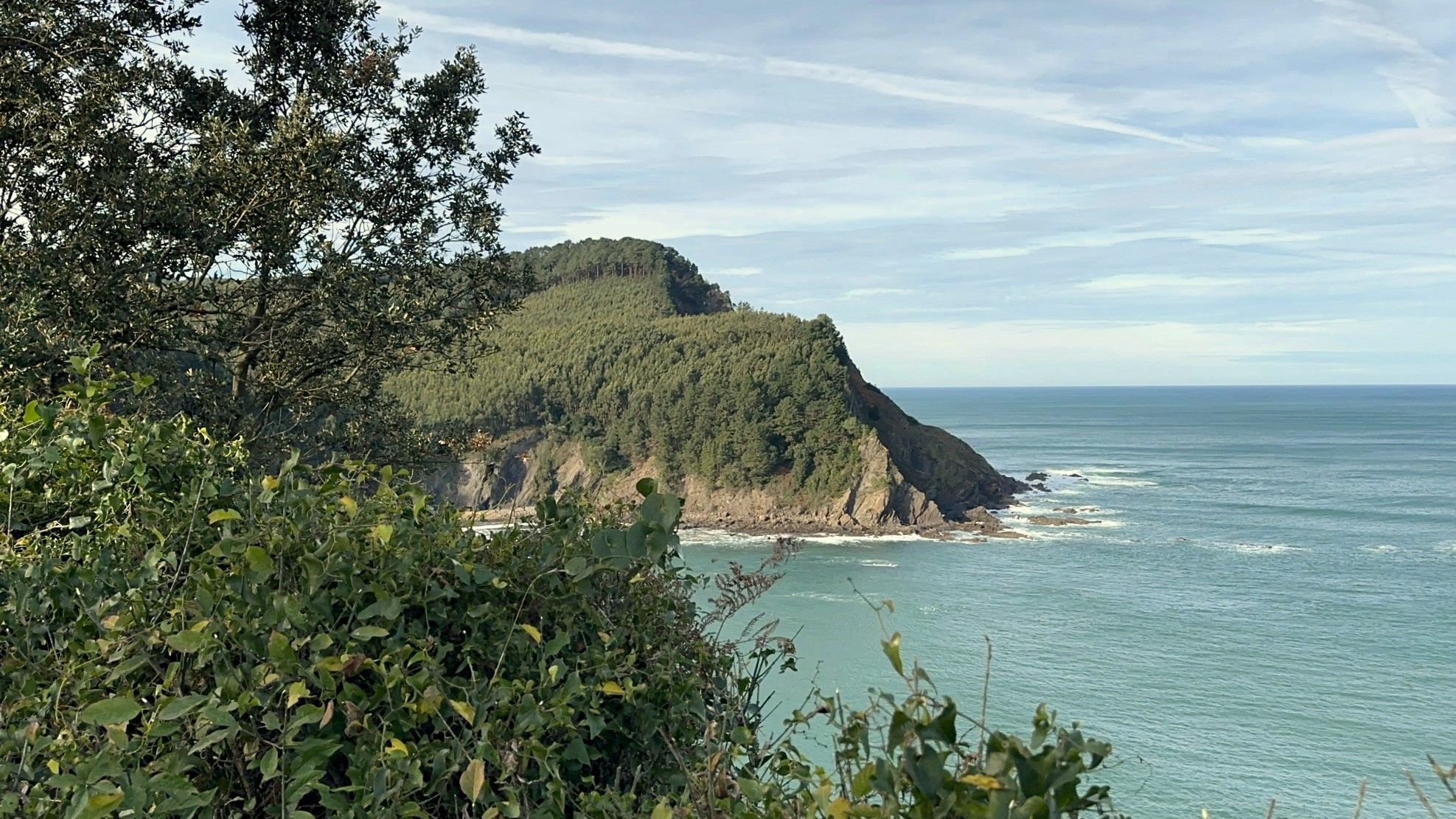
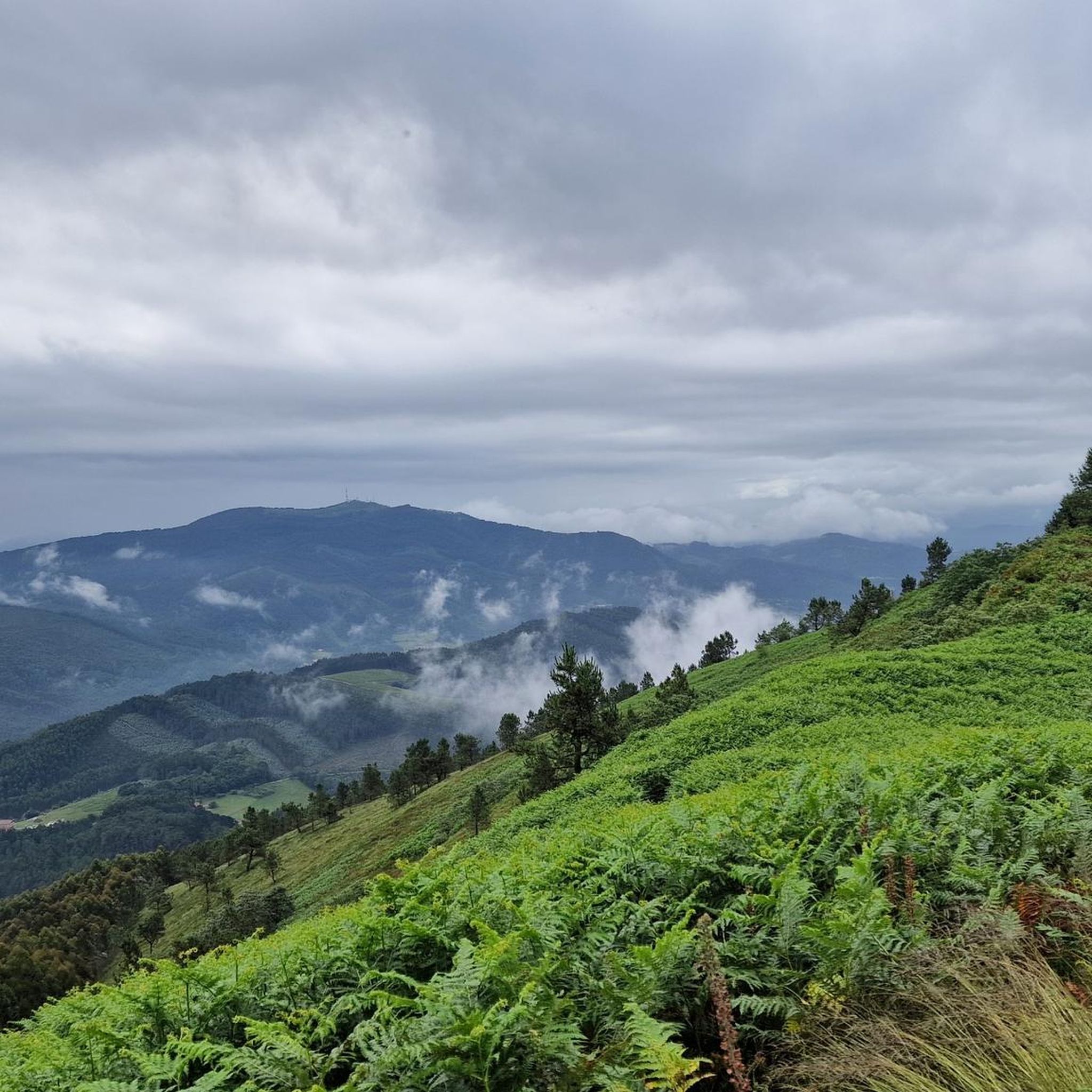
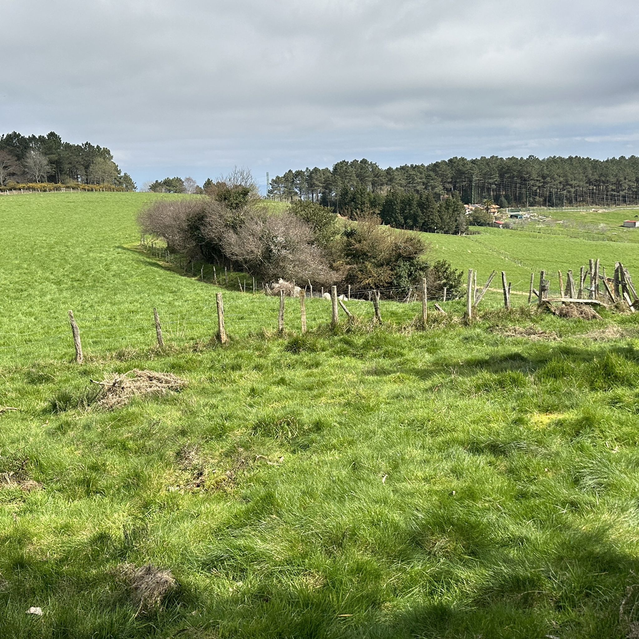
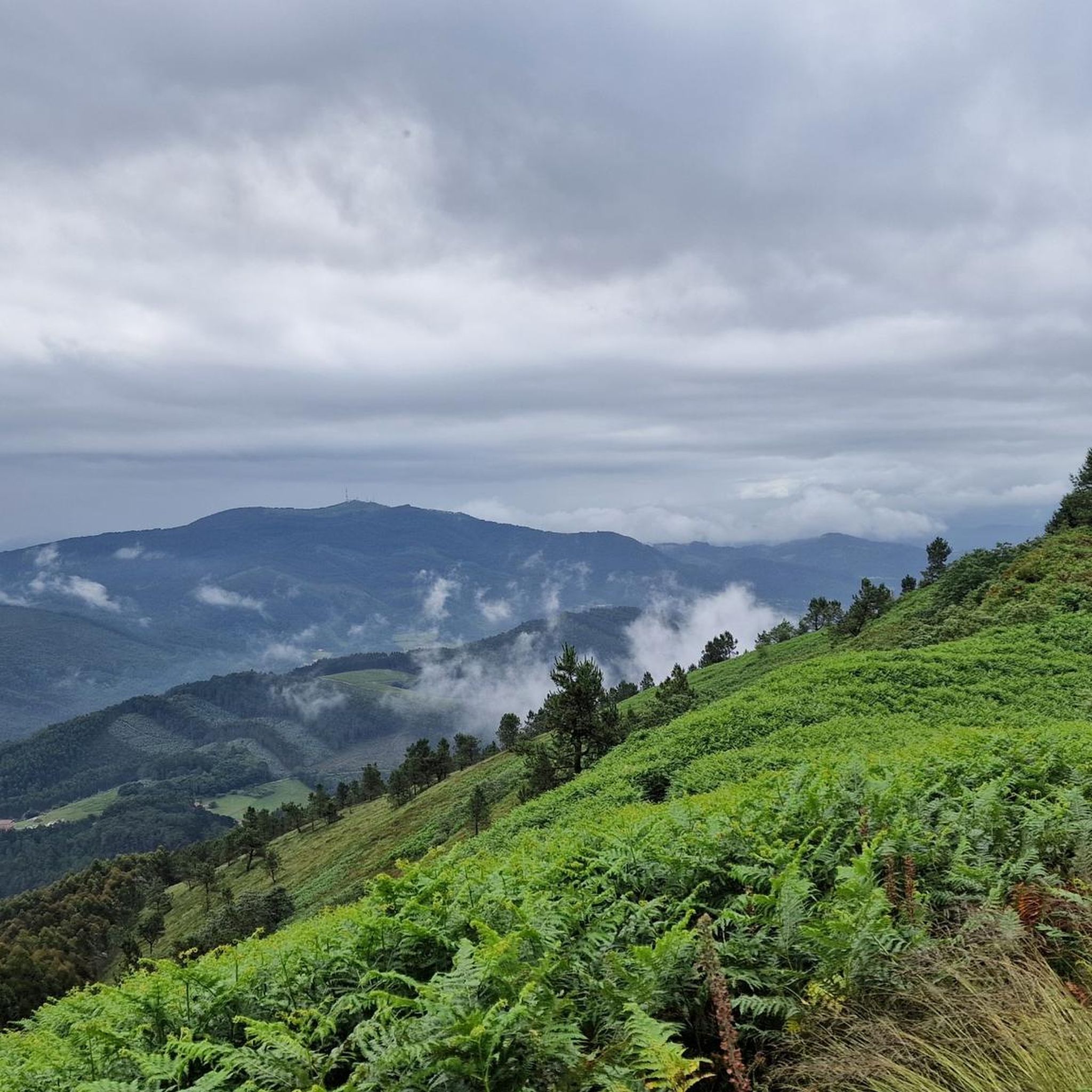

Other adventures around Mungia

Tips from the Community


It's a round trip climb if you're not on a MTB, but it's beautiful and has spectacular views.
0
0

If you are seeing the original rocket-shaped mailbox, you have already arrived. The views offered by this summit are very good.
0
0

Leaving the GR-280 you reach the Gamizmendi summit. The peak is marked with geodesic stone. The views aren't bad either.
1
0
The hiking route reaches the climb of Goikogana at 300 meters above sea level. The trail is surrounded by fields of green grass. The views from the peaks along this route provide panoramic views of the valleys.
1
0

This historic mountain located in the small massif of Mount Berreaga separates the Butrón valley to the north and Txoiherri to the south. At its top there is a bunker from the Bilbao Iron Belt.
1
0
The beautiful municipality of Mungia (Munguía in Spanish) is surrounded by numerous mountains such as Gondramendi (217 meters), Tallu (342 meters), Berreaga (366 meters), Sollube (684 meters) and Jata (592 meters). . A true paradise for nature lovers.
0
0
This single-storey hermitage dates from the 12th century approximately. It is located on the eastern slope of Mount Jata, between oaks and chestnut trees.
0
0
Frequently Asked Questions
What kind of terrain can I expect on running routes around Mungia?
Mungia's running routes feature a diverse landscape of rolling hills and lush green valleys. You'll find trails with mostly paved surfaces, especially on routes like the Tallu Forest Trail – Jata Summit loop from Mungia and the Gondramendi loop from Mungia. The Tallu Forest itself offers varied terrain, and many routes include significant elevation changes as they ascend hills like Gondramendi, Tallu, and Jata.
Are there any easy or beginner-friendly running trails in Mungia?
While many routes in Mungia involve significant elevation and are rated moderate to difficult, there are options for less experienced runners. For example, the Mungia loop from Bolatoki is a moderate 6.2-mile (10 km) trail through the local countryside with a more manageable elevation gain, making it suitable for those looking for a less strenuous run.
What are some scenic viewpoints or landmarks I can see while jogging in Mungia?
Mungia's routes offer several rewarding views. The Tallu Forest Trail – Jata Summit loop from Mungia leads to the Jata Summit, which provides excellent panoramic vistas. The Gondramendi hill, featured in the Gondramendi loop from Mungia, also offers scenic outlooks. Additionally, the region is home to historical sites like the Ermita de San Andrés de Billela and the Romanesque hermitage of San Miguel de Zumetzaga, which can be found along routes like the 'Route of the Hermitages'.
Are there any circular running routes available in the Mungia area?
Yes, many of the popular running routes around Mungia are circular, allowing you to start and finish in the same location. Examples include the Tallu Forest Trail – Jata Summit loop from Mungia, the Gondramendi loop from Mungia, and the Gondramendi – Mungia loop from Mungia. These loops are convenient for exploration without needing to retrace your steps.
What do other runners say about the jogging trails in Mungia?
The jogging routes in Mungia are highly rated by the komoot community, with an average score of 4.3 stars from nearly 40 reviews. Over 1700 runners have used komoot to explore the area, often praising the diverse natural landscapes, the challenge of the rolling hills, and the rewarding views from summits like Jata and Gondramendi.
Are there any family-friendly running or walking options in Mungia?
While some routes are challenging, Mungia's diverse terrain means there are sections and shorter paths suitable for families. The lush green valleys and accessible paths offer opportunities for gentler walks or shorter jogs. Look for routes described as 'easy' or 'moderate' on komoot, which typically have less elevation gain and shorter distances, making them more suitable for family outings.
Can I bring my dog on the running trails in Mungia?
Mungia's natural landscapes, including the Tallu Forest and various trails, are generally welcoming for dogs. However, it's always recommended to keep your dog on a leash, especially in areas where wildlife might be present or near agricultural land. Always practice responsible pet ownership by cleaning up after your dog.
Are there any facilities like parking or public transport access near the jogging routes?
Mungia is a well-established town, and many routes start directly from or near the town center, where parking facilities are typically available. For specific trailheads, it's advisable to check the route details on komoot for parking information. Public transport options within the Basque Country can also provide access to Mungia, allowing you to reach various starting points for your run.
What is the best time of year to go jogging in Mungia?
Mungia, located in the Basque Country, experiences a mild climate. Spring and autumn generally offer the most pleasant conditions for jogging, with moderate temperatures and lush scenery. Summer can be warm but is still suitable, especially during early mornings or late afternoons. Winters are mild but can be wet, so appropriate gear is recommended if running during this season.
Are there any places to eat or drink near the running trails in Mungia?
Mungia town itself offers a variety of cafes, pubs, and restaurants where you can refuel after your run. Many routes start or pass through the town, making it convenient to find refreshments. For routes that venture further into the countryside, it's a good idea to carry water and snacks, though some smaller villages or hamlets might have local establishments.
How long are the running routes around Mungia?
The running routes around Mungia vary significantly in length to suit different preferences and fitness levels. You can find shorter runs, such as the Running loop from Mungia which is about 5.8 miles (9.3 km), to much longer and more challenging options like the Tallu Forest Trail – Jata Summit loop from Mungia, which spans over 16 miles (26 km).
What are the most challenging running routes in Mungia?
For experienced runners seeking a challenge, Mungia offers several difficult routes with significant elevation gain. The Tallu Forest Trail – Jata Summit loop from Mungia is a demanding 16.4-mile (26.4 km) run with over 4,200 feet (1,280 meters) of ascent. Other difficult options include the Gondramendi loop from Mungia and the Gondramendi – Mungia loop from Mungia, both featuring substantial climbs.
Most popular attractions around Mungia

Get inspired with the komoot mobile app


Explore more
Browse the best Running Trails & Routes in other regions.
