The best walks and hikes around O Rosal
4.5
(531)
2,899
hikers
16
hikes
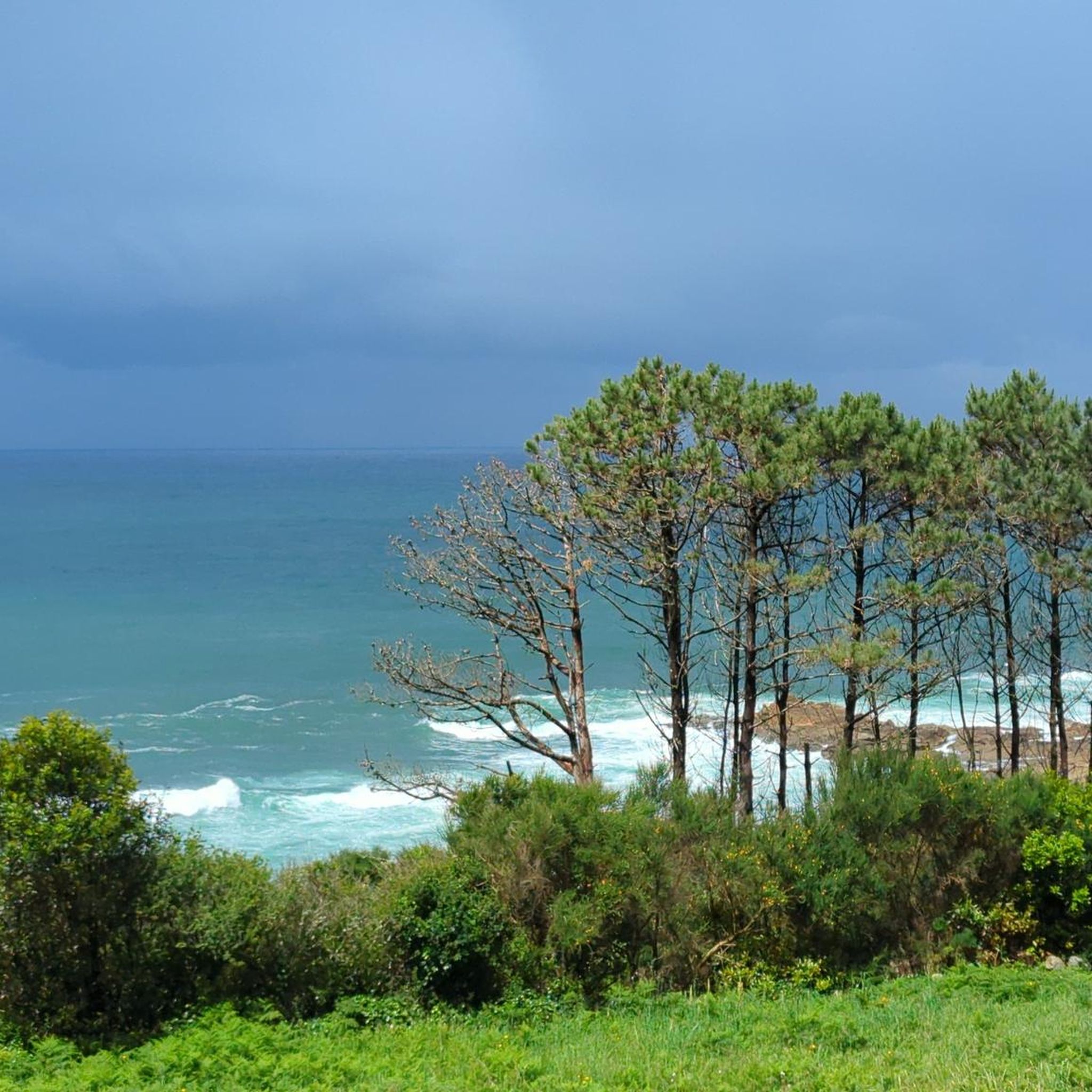
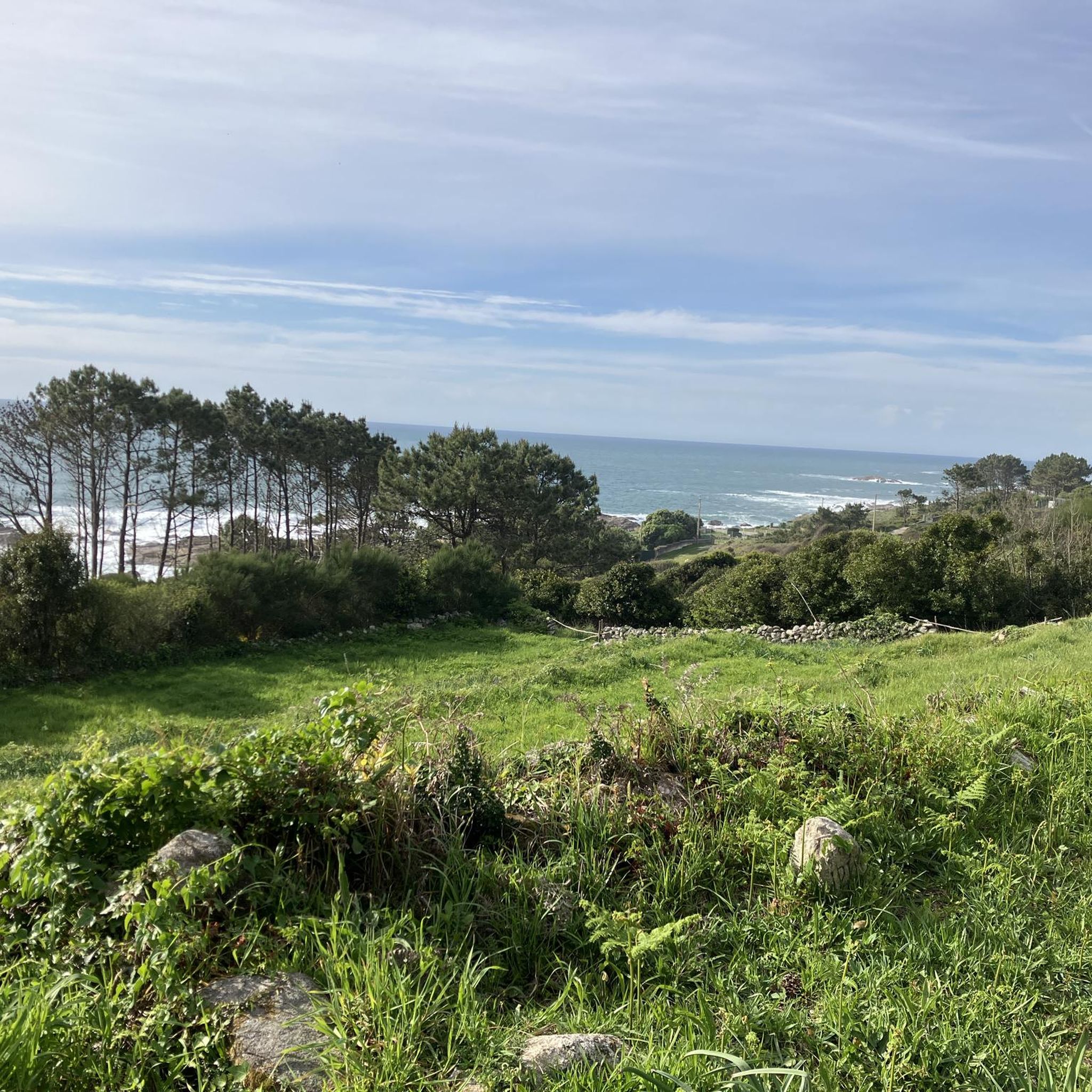
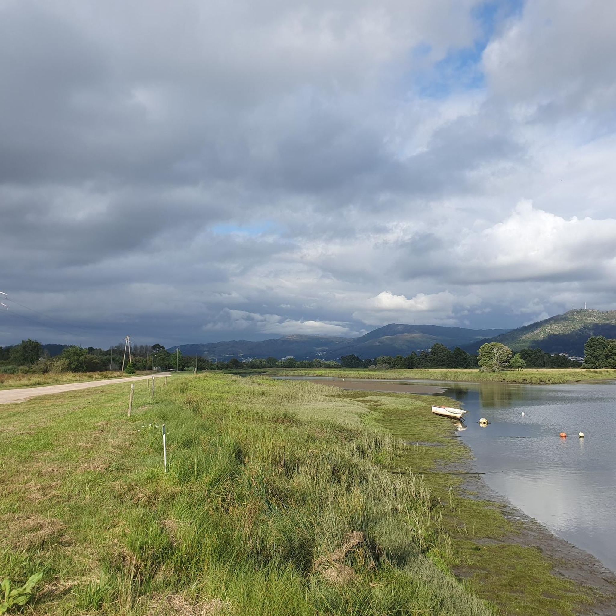
Hiking around O Rosal offers a diverse landscape where the Miño River meets the Atlantic Ocean, creating a unique blend of coastal and mountainous terrain. The region is characterized by its river estuaries, granite coastlines, and prominent elevations like Monte Santa Trega and the Serra da Groba. Hikers can explore areas rich in natural features, including waterfalls, river systems, and ancient cultural sites.
Best hiking trails around O Rosal
- The most popular hiking route is Las Cascadas de río Cal…
Last updated: August 21, 2026
5.0
(3)
9
hikers
Moderate hike. Good fitness required. Mostly accessible paths. Sure-footedness required.
4.6
(185)
887
hikers
26.8km
07:45
600m
590m
Hard hike. Very good fitness required. Easily-accessible paths. Suitable for all skill levels.

Sign up for free
4.8
(29)
94
hikers
3.00km
01:11
160m
160m
Moderate hike. Great for any fitness level. Mostly accessible paths. Sure-footedness required.
4.7
(11)
52
hikers
23.8km
06:31
320m
320m
Hard hike. Very good fitness required. Easily-accessible paths. Suitable for all skill levels.
4.8
(5)
20
hikers
27.9km
07:59
600m
600m
Hard hike. Very good fitness required. Easily-accessible paths. Suitable for all skill levels.
Get access to more routes and recommendations from other explorers.
Sign up for free
Already have an account?
Our route recommendations are based on thousands of hikes, rides, and runs completed by other people on komoot.
Start today with a free account
Your next adventure awaits.
Login or Signup
Tips from the Community

It is worth taking a look into the trees, as different Celtic symbols can be recognized from certain angles. An entertaining guessing game.
0
0

A little creepy in the morning mist
0
0

PR8 ground track, Santa Luzia mountain range
0
0

The most iconic and famous statue of Saint James is located on the facade of the Cathedral of Santiago de Compostela, in Galicia, Spain. This cathedral is the final destination of the famous Camino de Santiago, one of the most important pilgrimage routes in the world.
1
0

Here you can rest and even take a dip in the sea.
0
0
Square where you can rest and have coffee.
1
0
Worth a visit
1
0
Frequently Asked Questions
How many hiking trails are available in O Rosal?
O Rosal offers a selection of over 10 hiking routes, catering to various preferences and skill levels. The komoot community has explored these trails over 1000 times, highlighting the region's diverse landscapes.
Are there any easy or beginner-friendly hiking routes in O Rosal?
Yes, O Rosal features several routes suitable for beginners or those looking for a more relaxed walk. For example, the Water Mills – Folón and Picón Mills loop from Lugar da Pintora is a moderate 1.9-mile (3.0 km) path that explores a significant ethnographic site with traditional Galician watermills, making it an accessible and culturally rich option.
What kind of natural features can I expect to see on hikes in O Rosal?
Hiking in O Rosal offers a diverse range of natural features. You can explore the unique ecosystem where the Miño River meets the Atlantic Ocean, discover granite coastlines, and ascend prominent elevations like Monte Santa Trega and the Serra da Groba. The region is also rich in river systems, natural pools, and waterfalls, such as those found along the Cal and Folón rivers.
Are there any circular hiking routes in O Rosal?
Yes, many of the trails in O Rosal are circular, allowing you to start and end at the same point. A popular example is Las Cascadas de río Cal y Muiños del río Folón — circular por las Pozas de Loureza, a 9.5-mile (15.3 km) loop that takes you past historic watermills and natural waterfalls.
What are some notable landmarks or points of interest to explore while hiking in O Rosal?
O Rosal is rich in historical and natural landmarks. You can visit the well-preserved Castrexo-Roman fortified settlement of Castro de Santa Tecla on Monte Santa Trega, which also offers breathtaking views from Monte de Santa Trega. The region also features the impressive Pozas de Loureza Natural Pools and Waterfalls, and the historic Molinos do Folón e do Picón, a series of over 60 ancient watermills.
Is O Rosal a good destination for family-friendly hikes?
Yes, O Rosal offers trails suitable for families, particularly those looking for easier walks with interesting sights. The paths around the Molinos do Folón e do Picón are generally accessible and provide an engaging historical experience for all ages. Always check the specific route details for distance and elevation to ensure it matches your family's capabilities.
Can I bring my dog on the hiking trails in O Rosal?
Many trails in O Rosal are dog-friendly, allowing you to enjoy the natural beauty with your canine companion. However, it's always recommended to keep dogs on a leash, especially in areas with wildlife or near livestock, and to check for any specific local regulations or signage on individual routes.
What is the best time of year to go hiking in O Rosal?
The best time for hiking in O Rosal is generally during the spring and autumn months when the weather is mild and pleasant. Summers can be warm, especially in open areas, while winters are typically mild but can bring rain. These shoulder seasons offer comfortable temperatures for exploring both coastal paths and mountain trails.
Are there any challenging or difficult hiking routes in O Rosal?
Yes, for experienced hikers seeking a challenge, O Rosal offers more demanding routes. For instance, the Aty Viewpoint – View of Lake do Laron loop from A Fonte do Home is a difficult 17.7-mile (28.6 km) trail with significant elevation gain, providing extensive views and a rigorous workout.
What do other hikers enjoy most about hiking in O Rosal?
The komoot community highly rates the hiking experience in O Rosal, with an average score of 4.5 stars from over 200 reviews. Hikers often praise the region's unique blend of coastal and mountainous scenery, the historical significance of sites like the watermills and Castro de Santa Tecla, and the diverse range of trails suitable for different fitness levels.
Are there any routes that offer panoramic views of the Miño River estuary or the Atlantic Ocean?
Absolutely. Routes that ascend Monte de Santa Trega provide stunning panoramic views of the Miño River estuary, the O Rosal valley, and the Atlantic Ocean, with Portugal visible across the river. The Serra da Groba also offers numerous viewpoints, such as O Cortelliño, with extensive vistas of the Val Miño and the Cíes Islands.
Most popular attractions around O Rosal

Get inspired with the komoot mobile app


Explore more
Browse the best Hikes in other regions.
