The best road cycling routes around Viana Do Bolo
5.0
(2)
115
riders
14
rides
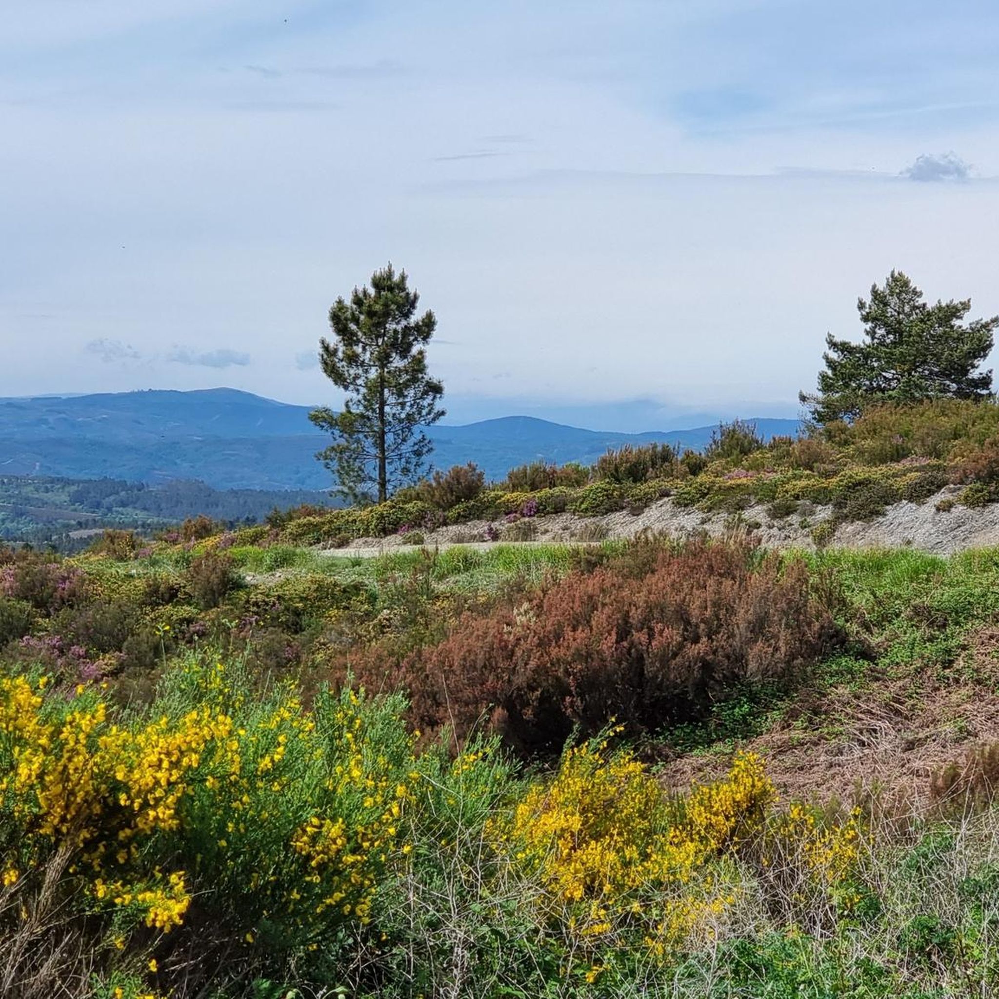
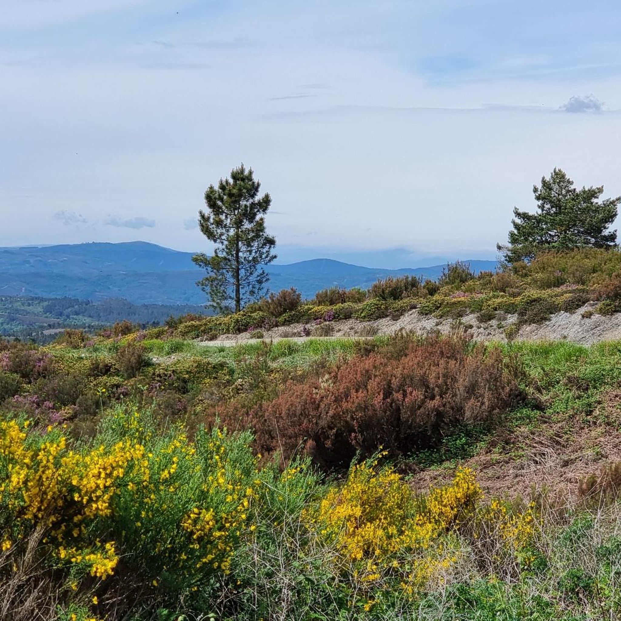
Road cycling routes around Viana Do Bolo navigate a landscape characterized by significant elevation changes, including mountain passes and hills. The region features a mix of forested areas and open terrain, with routes often circling reservoirs. Road cyclists can expect challenging climbs and descents, providing varied riding experiences. The area's topography makes it suitable for those seeking demanding road cycling routes.
Best road cycling routes around Viana Do Bolo
- The most popular road cycling route is Itinerario de Monterrei and…
Last updated: July 2, 2026
13
riders
91.7km
03:49
1,640m
1,640m
This difficult 57.0-mile road cycling loop, the Itinerario de Monterrei and Alto do Fojo, offers 5395 feet of gain and takes about 3 hours 4
4
riders
49.7km
02:44
1,030m
1,030m
This difficult 30.9-mile road cycling route in A Gudiña offers challenging climbs, stupendous mountain views, and passes the Portas Dam.

Sign up for free
2
riders
78.2km
05:21
1,740m
1,740m
Hard road ride. Very good fitness required. Some segments of this route may be unpaved and difficult to ride.
5.0
(2)
43
riders
90.7km
05:02
1,770m
1,770m
Hard road ride. Very good fitness required. Some segments of this route may be unpaved and difficult to ride.
36
riders
50.5km
03:04
1,210m
1,210m
Hard road ride. Very good fitness required. Mostly well-paved surfaces and easy to ride.
Get access to more routes and recommendations from other explorers.
Sign up for free
Already have an account?
Our route recommendations are based on thousands of hikes, rides, and runs completed by other people on komoot.
Start today with a free account
Your next adventure awaits.
Login or Signup
Popular around Viana Do Bolo

Tips from the Community

Here begins an uphill section through forests
0
1

The Portela da Canda Pass, also known as the Canda Pass or simply A Canda, is a mountain pass of great geographical, historical, and cultural value that connects Galicia (province of Ourense) with Castile and León (province of Zamora). Located in the Sierra Segundera mountain range, within the Galician Massif, it has traditionally been a crossing point for travelers, merchants, and pilgrims. It forms part of the Sanabrés Way of St. James, an extension of the Silver Route (Vía de la Plata), and is the entry point into Galicia for pilgrims coming from the south. The surrounding area features Jacobean sculptures and wayside crosses (cruceiros) that guide the route, the work of the artist Nicanor Carballo.
5
0

Small Zamorana town near Portugal in the Sanabria region. Picturesque town with numerous fountains and a bar where you can stop to recharge your batteries.
0
0

Portilla de la Canda is a mountain pass at 1260m above sea level and is the crossing point between the provinces of (Ourense) Galicia and Zamora (Castilla y León). There is a water feature and great views of the mountains and the highway road tunnel below.
1
1
Small mountain village at 1000m altitude on the trade route between Castilla y León and Galicia with traditional rural houses made of stone and wood.
1
0

Picturesque bridge that crosses the Tuela river near the Tuiza Sanctuary and that brings us closer to the Tío Juan maquiler mill along a beautiful path between oaks and chestnut trees up to the Castro de As Muradellas next to the river. The area is perfectly signposted with informative and indicative signs.
1
0
Beautiful sanctuary in the heart of Sanabria Alta. Close to the highway, it is worth taking a detour to visit this spectacular large hermitage, which surely will not leave us indifferent. Nearby, we will find a river with a fluvial beach area, and a hiking route to the Castro de As Muradellas. Or also the Tío mill. The construction dates from the 18th century and two important pilgrimages are held (August 5 in honor of the Virgen de las Nieves and the last Sunday of September in honor of La Tuiza).
1
1
Picturesque bridge that crosses the Tuela river near the Tuiza Sanctuary and that brings us closer to the Tío Juan maquiler mill along a beautiful path between oaks and chestnut trees up to the Castro de As Muradellas next to the river. The area is perfectly signposted with informative and indicative signs.
2
0
Frequently Asked Questions
What kind of terrain can I expect on road cycling routes around Viana Do Bolo?
Road cycling routes in Viana Do Bolo are characterized by significant elevation changes, including mountain passes and hills. You'll encounter a mix of forested areas and open terrain, with many routes circling reservoirs. Expect challenging climbs and descents, providing a varied and demanding riding experience.
Are there any road cycling routes suitable for beginners in Viana Do Bolo?
The Viana Do Bolo area primarily offers routes for advanced road cyclists due to its challenging topography. However, there are a couple of moderate routes available, such as Portela da Canda Pass loop from A Gudiña, which covers 39.3 km with 639 meters of elevation gain. Most routes feature substantial climbs.
Which road cycling routes offer the most significant climbs in Viana Do Bolo?
For those seeking substantial climbs, routes like Peña Trebivca Return stand out, featuring over 1700 meters of elevation gain over 78.2 km. Another challenging option is Itinerario de Monterrei and Alto do Fojo Loop, with more than 1600 meters of ascent.
Are there any circular road cycling routes in Viana Do Bolo?
Yes, many of the road cycling routes in Viana Do Bolo are designed as loops. Popular circular routes include Itinerario de Monterrei and Alto do Fojo Loop and As Portas Reservoir Loop, both offering scenic circuits through the region's diverse landscape.
What are some scenic viewpoints or natural attractions along the road cycling routes?
The region offers several scenic spots. You can find stunning views of the Puente Porto reservoir or the Beo Reservoir and Viana de Bolo from the San Cibrao viewpoint. The routes also pass by natural features like the Bibei River Valley and Pías Reservoir. For specific viewpoints, consider visiting View of the Puente Porto reservoir or View of the Beo Reservoir and Viana de Bolo from the San Cibrao viewpoint.
Are there any waterfalls to see while road cycling in Viana Do Bolo?
Yes, some routes may bring you close to natural water features. Notably, there is a Waterfall at Embalse de Valdesirgas, which could be an interesting stop if your route passes nearby.
What historical or cultural landmarks can I explore near the cycling routes?
While cycling, you might encounter significant landmarks such as the Sanctuary of La Tuiza. The region also features mountain passes like Alto da Canda (Camino de Santiago) and Portela da Canda Pass, which hold historical significance as part of ancient routes.
How many road cycling routes are available in the Viana Do Bolo area?
There are over a dozen road cycling routes documented for the Viana Do Bolo area on komoot, offering various distances and difficulty levels, predominantly for experienced riders.
What do other road cyclists enjoy most about the routes in Viana Do Bolo?
Road cyclists frequently praise the challenging nature of the routes, the significant elevation gains, and the rewarding views of reservoirs and mountainous terrain. The region's diverse landscape, from forested areas to open hills, also contributes to a memorable riding experience.
Are there any routes that pass through or near towns for amenities?
Routes often connect or pass near smaller towns and villages, providing opportunities for amenities. For example, the Chaira das Lamas Viewpoint – A Pobra de Trives Town Center loop from O Barrio dos Xitanos specifically mentions passing through a town center, which would offer places for refreshments.
What is the typical duration for road cycling routes in Viana Do Bolo?
Due to the challenging terrain and significant distances, many routes require several hours to complete. For instance, the Itinerario de Monterrei and Alto do Fojo Loop typically takes around 3 hours 49 minutes, while the Peña Trebivca Return can take over 5 hours.
Most popular attractions around Viana Do Bolo

Get inspired with the komoot mobile app


Explore more
Browse the best Road cycling routes in other regions.
