The best walks and hikes around Pontecesures
4.2
(1619)
10,746
hikers
74
hikes
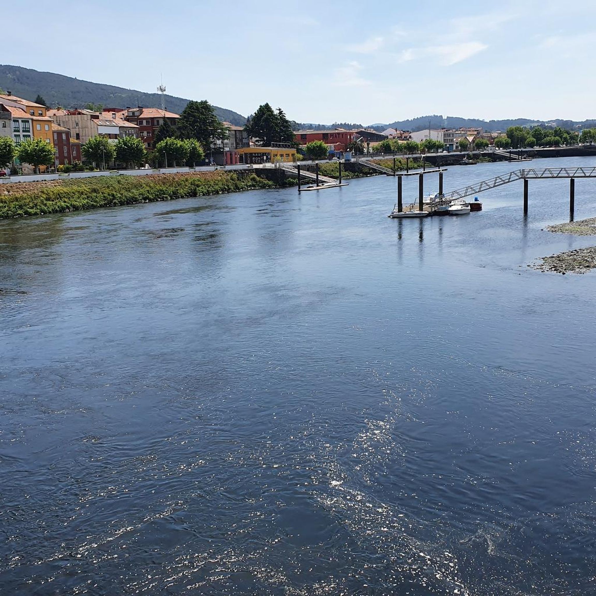
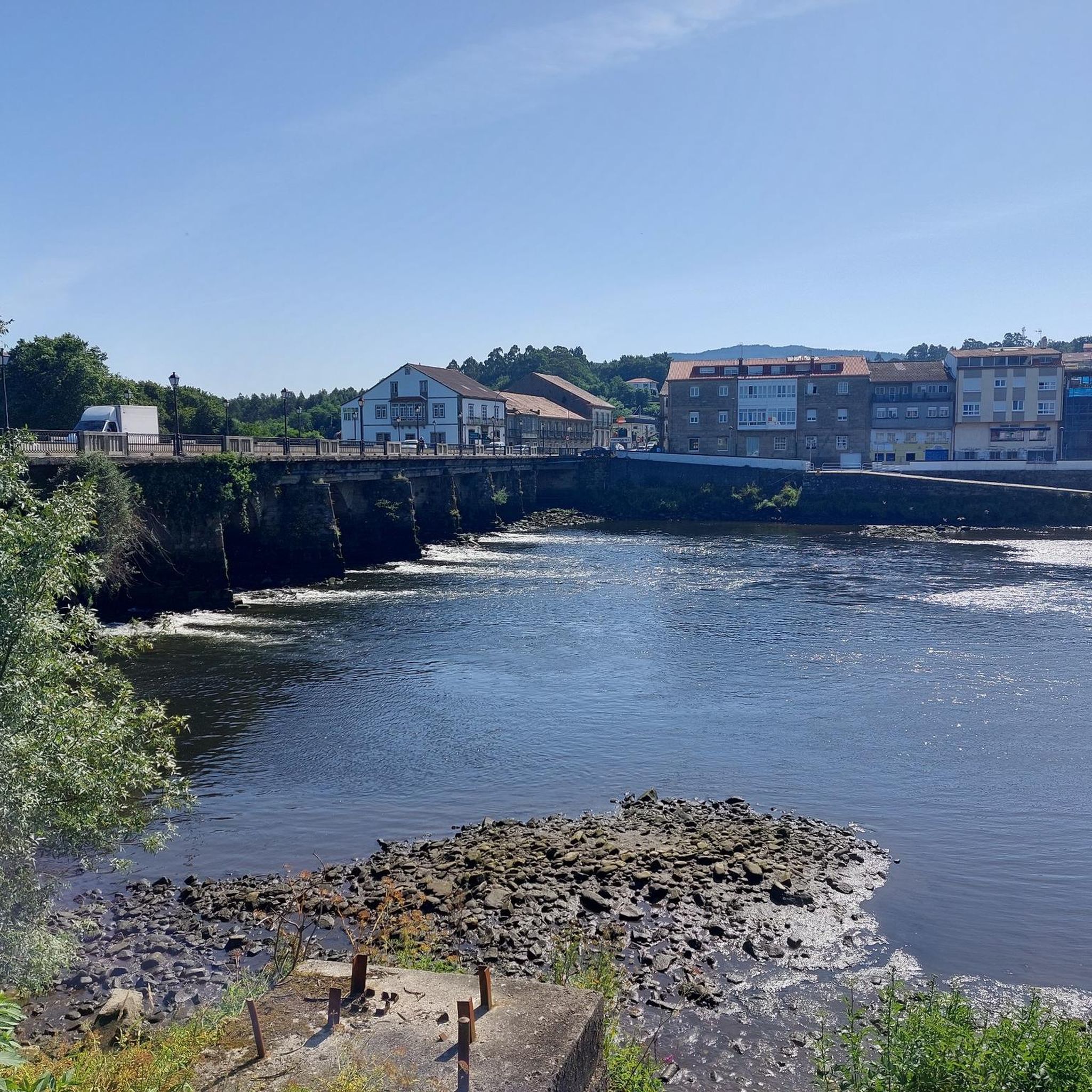
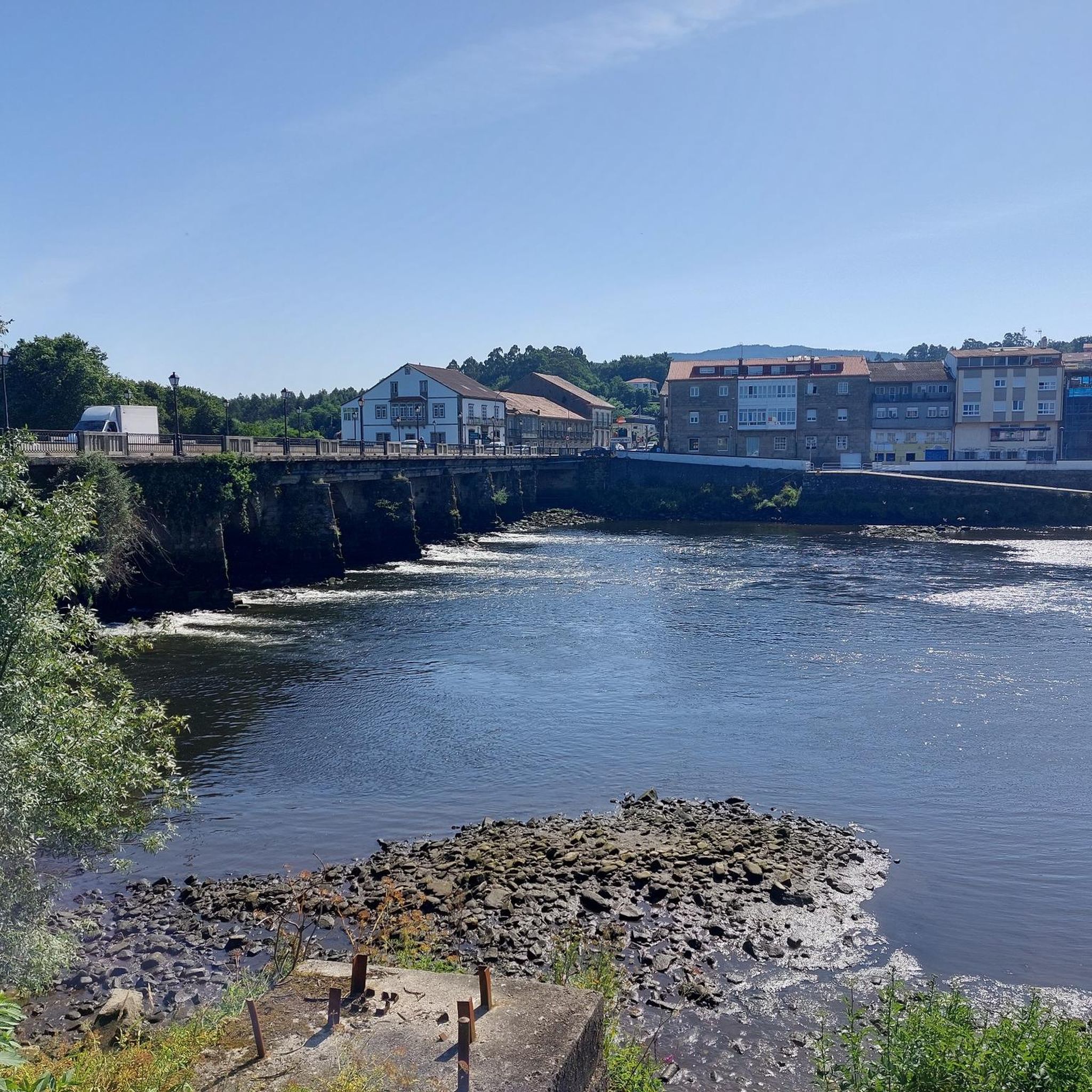
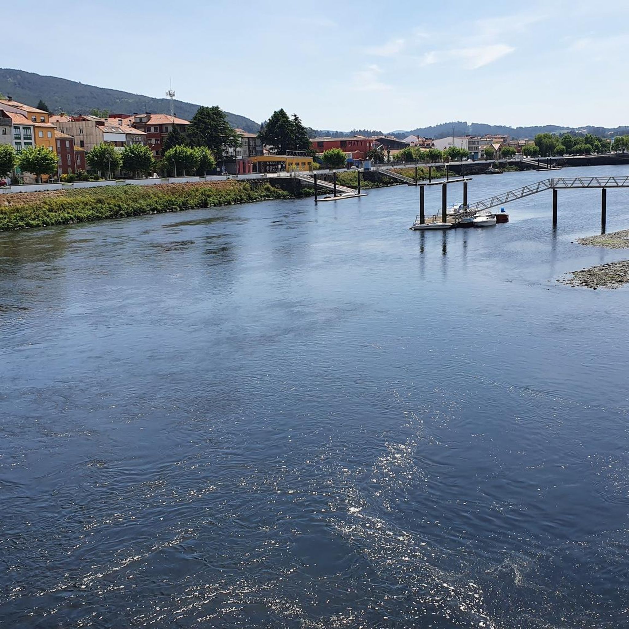
Hiking around Pontecesures offers diverse terrain shaped by its riverside location and historical significance. The town is situated on the Ulla River, which forms part of a valley with panoramic vistas, particularly at its confluence with the Sar River. Key features include the Roman bridge of Pontecesures and viewpoints like Monte Galiñeiro, providing elevated perspectives of the surrounding landscape. The region's trails often incorporate sections of the Camino de Santiago, blending natural paths with cultural landmarks.
Best hiking trails around…
Last updated: August 25, 2026
4.6
(38)
216
hikers
26.1km
06:51
220m
220m
Hard hike. Very good fitness required. Easily-accessible paths. Suitable for all skill levels.
4.2
(5)
27
hikers
8.70km
02:18
80m
80m
Moderate hike. Good fitness required. Easily-accessible paths. Suitable for all skill levels.

Sign up for free
31
hikers
8.80km
02:21
100m
100m
Moderate hike. Good fitness required. Easily-accessible paths. Suitable for all skill levels.
5.0
(2)
19
hikers
8.12km
02:03
20m
20m
Moderate hike. Good fitness required. Easily-accessible paths. Suitable for all skill levels.
5.0
(2)
23
hikers
13.3km
03:30
110m
110m
Moderate hike. Good fitness required. Easily-accessible paths. Suitable for all skill levels.
Get access to more routes and recommendations from other explorers.
Sign up for free
Already have an account?
Our route recommendations are based on thousands of hikes, rides, and runs completed by other people on komoot.
Start today with a free account
Your next adventure awaits.
Login or Signup
Tips from the Community

Beautiful path, unfortunately sometimes very busy (with hikers and cyclists)
0
1
Especially in summer, there is nice refreshment here
0
0
The typical milestones always keep you informed about the remaining kilometers.
0
0

You can often see it by the roadside 🤙
0
0
Business-minded, you see that more and more often, especially in the towns 🤙
0
0
Washing machine on the side of the road 🤙
0
0
Frequently Asked Questions
How many hiking trails are available around Pontecesures?
Pontecesures offers a wide variety of hiking experiences, with over 60 routes available. These range from easy riverside strolls to more challenging, longer loops, catering to different fitness levels and preferences.
Are there easy hiking trails suitable for beginners or families in Pontecesures?
Yes, Pontecesures has several easy trails perfect for beginners or families. For a gentle walk, consider the Padrón Bridge – Alameda Promenade, Padrón loop from Nestlé, an easy 4.8 km path that follows the Ulla River. Another accessible option is the Monument to Rosalía de Castro – Padrón Bridge loop from Pontecesures, which is 7.7 km and also rated easy.
What kind of historical landmarks can I see while hiking in Pontecesures?
Pontecesures is rich in history, being a key point on the Camino de Santiago. Hikers can encounter the ancient Roman bridge of Pontecesures, a critical crossing point for pilgrims. The region also features the Fito Xacobeo, marking the Apostle James's route. You can also explore religious sites like the The Pedrón (Church of Saint James of Padrón) or the Sanctuary of Escravitude.
Are there any circular hiking routes in the Pontecesures area?
Many of the trails around Pontecesures are designed as loops, offering varied scenery without retracing your steps. Examples include the Padrón Bridge – Monument to Rosalía de Castro loop from Nestlé, a moderate 8.7 km route, and the more challenging Padrón Bridge – Historic Washhouse loop from Pontecesures, which spans 26.1 km.
Where can I find scenic viewpoints along the hiking trails in Pontecesures?
Pontecesures offers several viewpoints with stunning vistas. The Monte Galiñeiro Viewpoint, at approximately 300 meters, provides spectacular views of the Ulla and Sar river confluence, the Arousa estuary, and surrounding towns. Within Pontecesures itself, the O Pino Manso Viewpoint offers pleasant views from the town center.
Are there any waterfalls to discover on hikes near Pontecesures?
Yes, for those interested in natural water features, you can find the Small Waterfall Between the Mills among the natural monuments around Pontecesures. This offers a charming natural stop during your hike.
What natural features define the hiking experience in Pontecesures?
The hiking experience in Pontecesures is largely defined by its riverside location. The Ulla River is a central feature, offering serene views and forming part of a picturesque valley, especially where it meets the Sar River. The region also provides access to diverse ecosystems, including the nearby Parque Natural de las Dunas de Corrubedo with its sandy beaches and dunes.
Is Pontecesures a dog-friendly hiking destination?
Pontecesures and its surrounding natural areas are generally welcoming for dogs. Many trails follow riverside paths and natural landscapes, which are ideal for walking with your canine companion. Always ensure your dog is under control and check local regulations for specific areas or protected zones.
What do other hikers say about the trails in Pontecesures?
The hiking routes in Pontecesures are highly rated by the komoot community, with an average score of 4.3 stars from over 500 reviews. Hikers often praise the diverse terrain, the blend of natural beauty with historical landmarks, and the well-maintained paths along the Ulla River.
Are there any moderate difficulty hikes for those looking for a bit more challenge?
Certainly. For a moderate challenge, consider the Alameda Promenade, Padrón – Padrón Bridge loop from Nestlé. This 8.8 km route offers a good balance of distance and elevation, providing a rewarding experience without being overly strenuous.
What is the best time of year to go hiking in Pontecesures?
The best time to hike in Pontecesures is generally during spring and autumn when the weather is mild and pleasant. Summers can be warm, but riverside trails often offer shade. Winters are typically mild, making hiking possible year-round, though some paths might be muddy after rain.
Is public transport available to reach hiking trailheads in Pontecesures?
Pontecesures is well-connected, especially as a point on the Camino de Santiago. Local bus services connect the town with nearby areas like Padrón, which can provide access to various trailheads. For specific routes, it's advisable to check local bus schedules to plan your journey to the starting points.
Are there parking facilities available for hikers in Pontecesures?
Yes, parking is generally available in and around Pontecesures, particularly near the town center and key attractions. As a town that welcomes pilgrims and tourists, you can usually find public parking areas suitable for accessing the local hiking trails.
Most popular attractions around Pontecesures

Get inspired with the komoot mobile app


Explore more
Browse the best Hikes in other regions.
