The best road cycling routes around El Paso
4.5
(162)
3,634
riders
19
rides
Road cycling routes around El Paso traverse a diverse landscape shaped by the Franklin Mountains, the Rio Grande, and the Chihuahuan Desert. The region features dramatic mountain backdrops, serene riverside paths, and rugged desert foothills. Cyclists encounter varied terrain, from challenging climbs through mountain passes to mostly flat, paved multi-use trails along the river.
Best road cycling routes around El Paso
- The most popular road cycling route is From Las Manchas to the Old Fuencaliente Lighthouse – circular route in the South of La Palma, a 33.2 miles (53.4 km) trail that takes 3 hours 20 minutes to complete. This route features significant elevation gain, making it a challenging ride.
- Another top favourite among local road cyclists is El Pilar Recreation Area – Echentive Beach loop from Los Llanos de Aridane, a difficult 62.6 miles (100.7 km) path. This extensive loop includes substantial climbing, offering a demanding experience through varied terrain.
- Local road cyclists also love the El Pilar Recreation Area – El Pilar to Santa Cruz Road loop from El Paso, a 32.9 miles (53.0 km) trail leading through mountainous landscapes, often completed in about 3 hours 42 minutes.
- Road cycling around El Paso is defined by mountain passes, desert foothills, and riverside paths. The network offers options for different ability levels, from moderate to difficult.
- The routes in El Paso are highly rated by the komoot community with an average score of 4.7 stars from over 26 reviews. More than 745 road cyclists have used komoot to explore El Paso's varied terrain.
Last updated: October 3, 2026
4.3
(6)
75
riders
Hard road ride. Very good fitness required. Mostly well-paved surfaces and easy to ride.
4.7
(3)
107
riders
Hard road ride. Very good fitness required. Mostly well-paved surfaces and easy to ride.

5.0
(3)
67
riders
55.1km
03:51
1,980m
1,980m
Hard road ride. Very good fitness required. Mostly well-paved surfaces and easy to ride.
4.5
(10)
139
riders
66.6km
04:09
1,890m
1,890m
Hard road ride. Very good fitness required. Mostly well-paved surfaces and easy to ride.
4.5
(4)
54
riders
36.0km
02:37
1,370m
1,370m
Hard road ride. Very good fitness required. Mostly well-paved surfaces and easy to ride.
Get access to more routes and recommendations from other explorers.
Already have an account?
Our route recommendations are based on thousands of hikes, rides, and runs completed by other people on komoot.
Start today with a free account
Your next adventure awaits.
Popular around El Paso
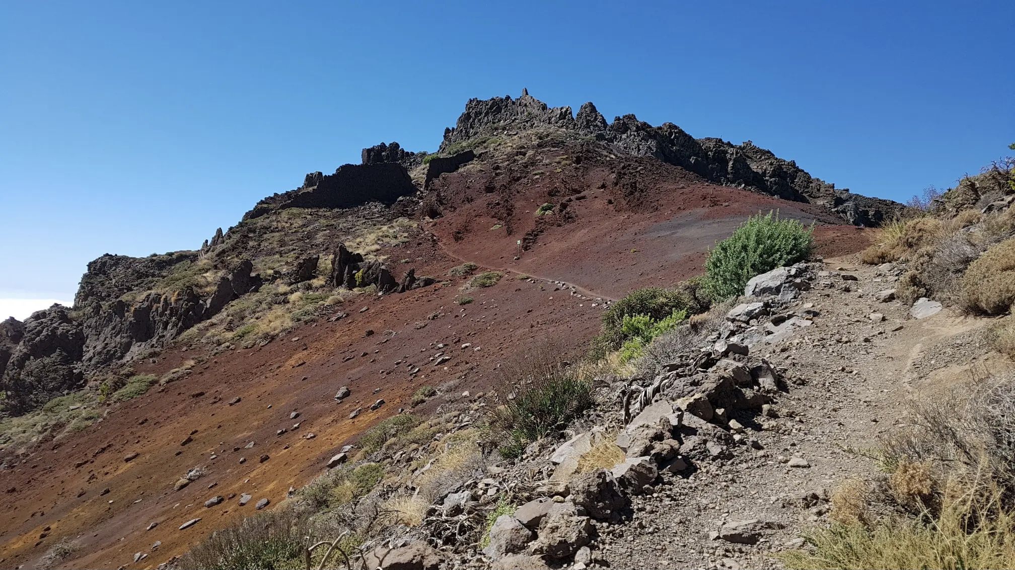
GR 131 El Bastón – La Palma in all its splendour

La Palma, El Hierro y La Gomera – explore the Canaries’ Green Islands on foot
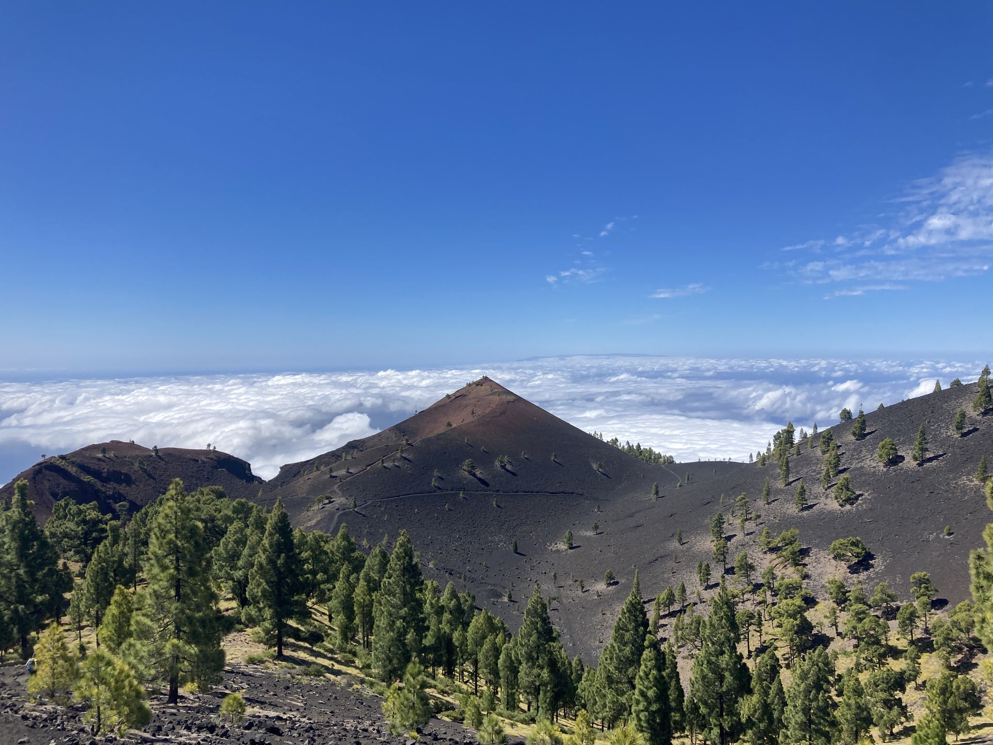
Transvulcania - traverse la Palma in the Canary Islands on the GR 131
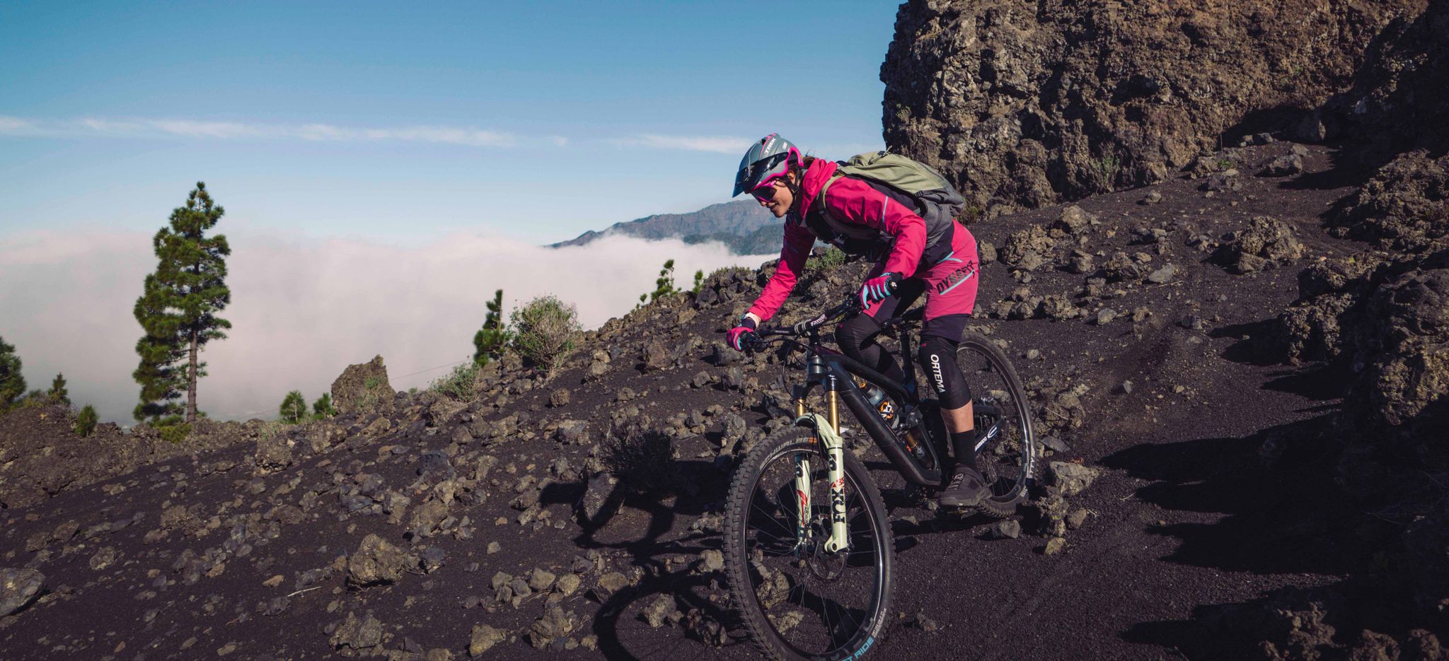
La Palma – my favourite Tours on the Canary Islands’ Isla Bonita
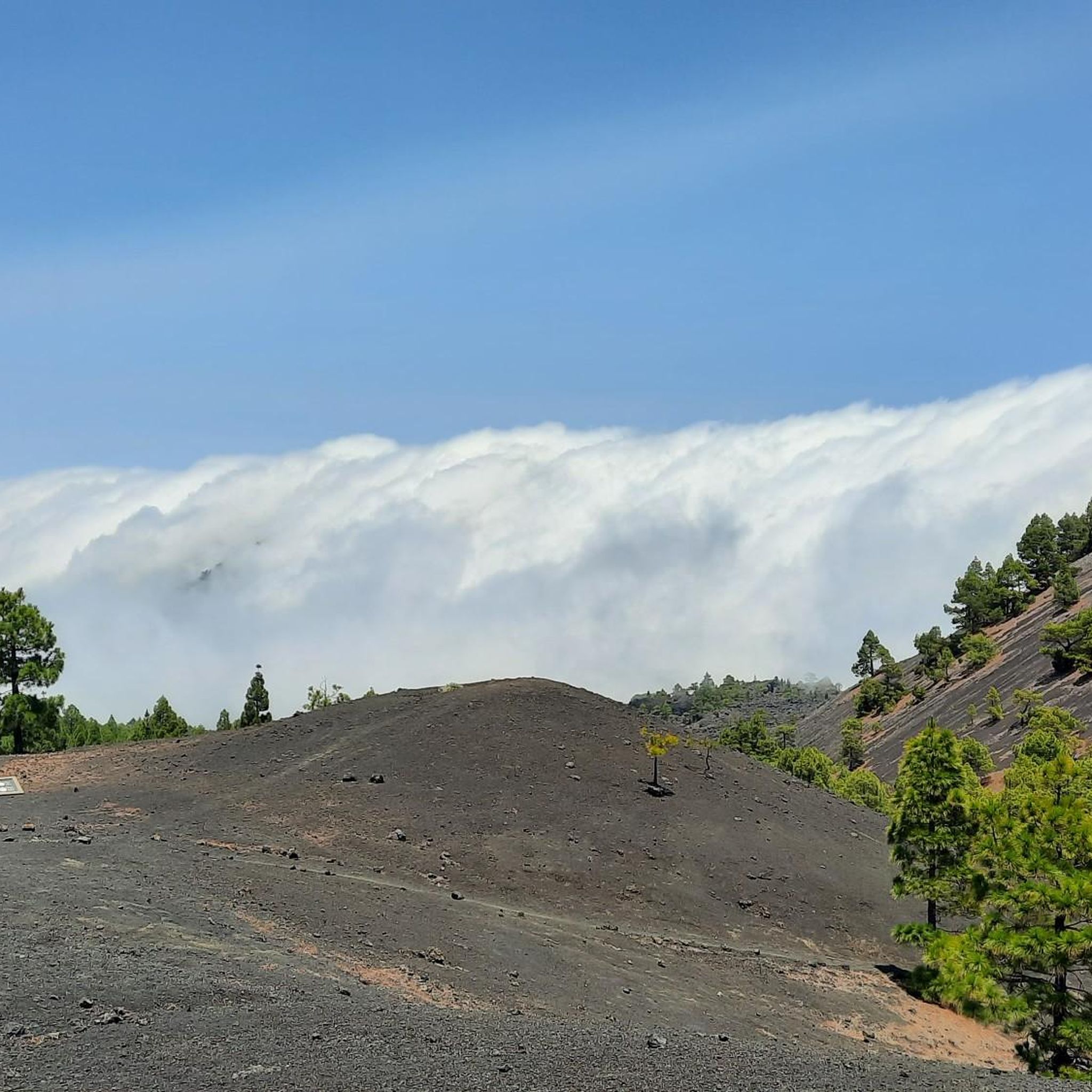
Hiking around El Paso
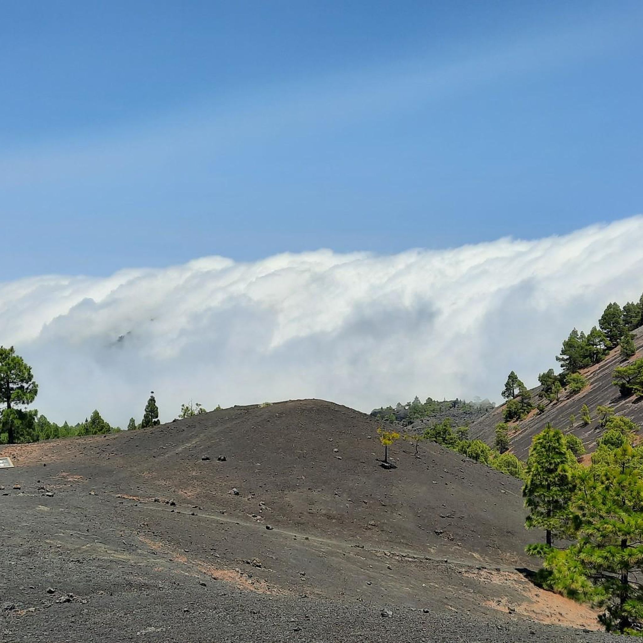
Running Trails around El Paso
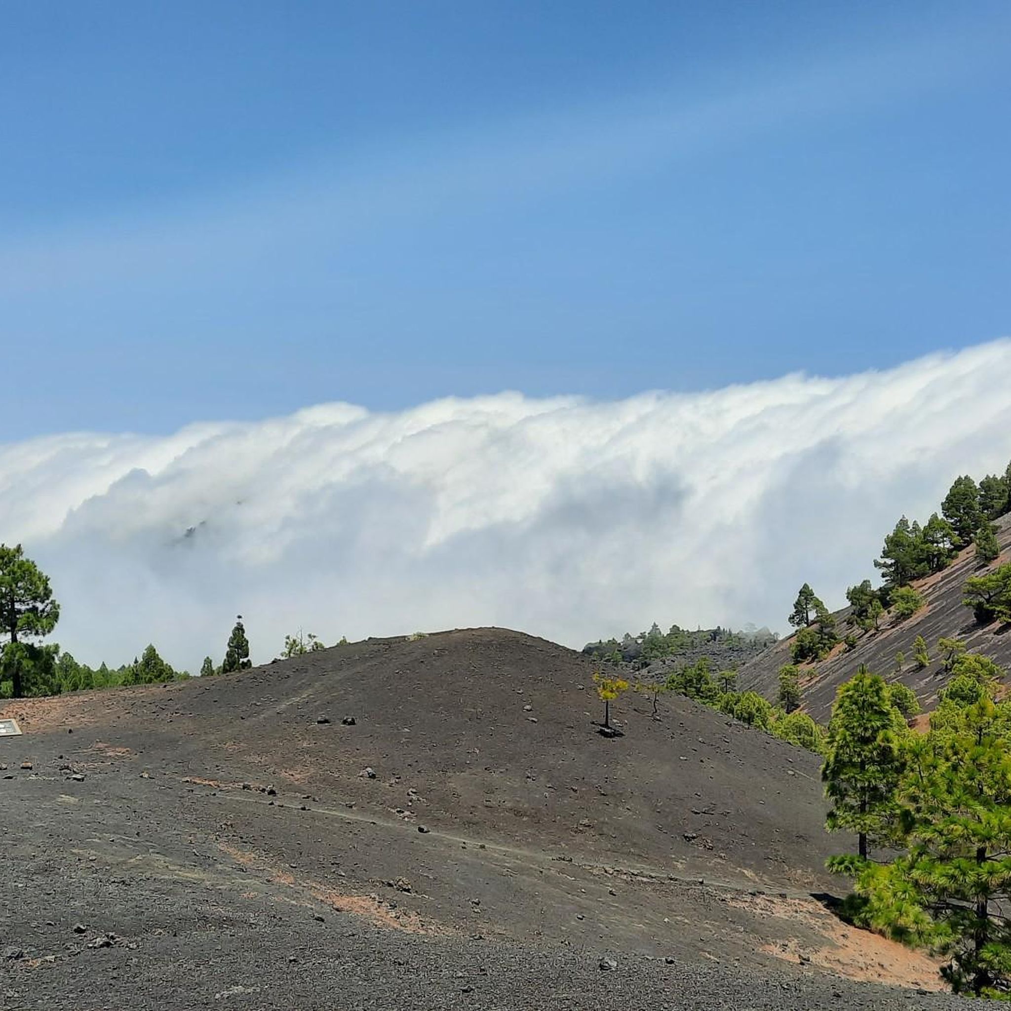
MTB Trails around El Paso
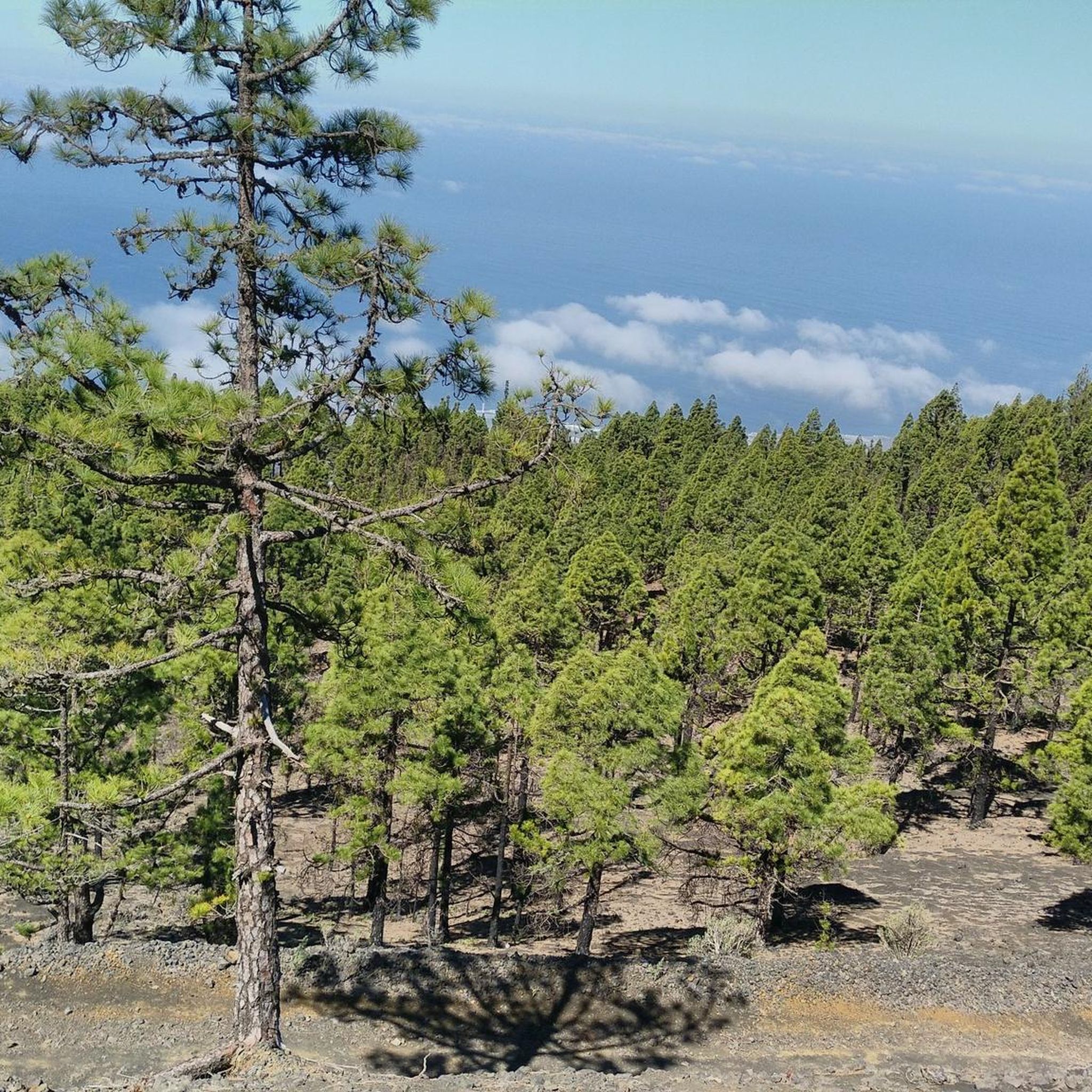
Cycling around El Paso

Mountain Hikes around El Paso

Gravel biking around El Paso
Other adventures around El Paso


Tips from the Community

It's always important to know where you can refill drinking water on La Palma!
0
0

"The chapel Las Angustias has been located in the picturesque gorge called Las Angustias. Dedicated to Virgen de las Angustias. In the 16th century, the Spaniards built the first chapel there on the La Palma island. Up today, it's an important place of worship for La Palma inhabitants. Every year, August, 15th there is a pilgrimage there. Gothic-Flemish style wooden polychromes inside the chapel depicts Virgen de las Angustias with her dead son on her laps." © Mirek Zabski
0
0
Located along the LP-301 road to El Pilar, this viewpoint is an excellent spot to enjoy landscapes of the island, the eastern slopes, the capital Santa Cruz de La Palma, and the airport. It is also known as one of the best locations on the island for star and Milky Way photography.
0
0

A tour of Tazacorte
0
1
An alternative route towards Refugio de El Pilar is accessible via a very steep ramp. Unfortunately, the asphalt is very poor. No cars.
0
0

The taxi still costs €51, and they're already waiting there. With four passengers, you can split the price accordingly, so it's worth the wait. The climb without a taxi takes about 2.5 hours. I'm glad I took the taxi.
2
0

Start of an exciting tour through the caldera.
0
0

Beautiful view and nice place for a hiking break
1
0
Frequently Asked Questions
What types of landscapes will I encounter on road cycling routes around El Paso?
Road cycling routes around El Paso offer a diverse range of landscapes. You can expect dramatic mountain backdrops in the Franklin Mountains, serene riverside paths along the Rio Grande River, and rugged desert foothills characteristic of the Chihuahuan Desert. This variety provides everything from challenging climbs to mostly flat, paved multi-use trails.
How many road cycling routes are available in the El Paso area?
There are over 10 road cycling routes around El Paso listed on komoot, catering to various skill levels. These routes have been explored by over 745 road cyclists and are highly rated by the community.
Are there any challenging road cycling routes for experienced riders in El Paso?
Yes, El Paso offers several challenging routes. For instance, the From Las Manchas to the Old Fuencaliente Lighthouse – circular route in the South of La Palma is a difficult 33.2-mile ride with significant elevation gain. Another demanding option is the El Pilar Recreation Area – Echentive Beach loop from Los Llanos de Aridane, an extensive 62.6-mile loop with substantial climbing.
What are some scenic road cycling routes with great views in El Paso?
For breathtaking views, the Transmountain Highway through the Franklin Mountains is a highly scenic option. The Rio Grande Trail (also known as the River Park Trail) offers picturesque rides along the river with views of wild vegetation and the Franklin Mountains. Additionally, the Franklin Mountains Drive provides panoramic city views.
Are there any beginner-friendly or moderate road cycling routes in El Paso?
While many routes feature climbs, the Rio Grande Trail offers mostly flat, paved sections, making it suitable for easier rides. The Puerto de Tazacorte Beach – Tazacorte Town Center loop from Cruce Tajuya B is another moderate option, covering 36 miles with less intense elevation changes compared to the more difficult mountain routes.
What is the best time of year for road cycling in El Paso?
El Paso, known as the 'Sun City,' boasts over 300 days of sunshine annually, making it an excellent destination for outdoor activities. Spring and fall generally offer the most comfortable temperatures for road cycling, avoiding the peak heat of summer while still enjoying clear skies.
Are there any long-distance road cycling routes near El Paso?
For those seeking longer rides, the El Time Viewpoint – El Pilar Recreation Area loop from La Palma is a substantial 86.3-mile route. The Smugglers Pass & Mission Valley loop is another difficult, extensive option, covering 68.1 miles with challenging climbs and desert views.
What do other road cyclists enjoy most about road cycling in El Paso?
The road cycling routes in El Paso are highly rated by the komoot community, with an average score of 4.7 stars from over 26 reviews. Cyclists often praise the diverse terrain, from challenging mountain passes to serene riverside paths, and the unique beauty of the Chihuahuan Desert landscapes.
Are there any attractions or points of interest along the road cycling routes?
While cycling, you might encounter various natural and historical points of interest. The McKelligon Canyon Road, for example, showcases Chihuahuan Desert wildlife. For broader exploration, you can find attractions like Roque de los Muchachos or the San Antonio Volcano in the wider region.
Are there any loop road cycling trails in El Paso?
Yes, many routes are designed as loops. Examples include the From Las Manchas to the Old Fuencaliente Lighthouse – circular route in the South of La Palma, the El Pilar Recreation Area – Echentive Beach loop from Los Llanos de Aridane, and the El Pilar Recreation Area – El Pilar to Santa Cruz Road loop from El Paso. The El Paso Tin Mines – Scenic Road Trail loop from Chuck Heinrich Park is another popular 12-mile loop through desert landscapes.
Can I find routes that offer views towards Mexico or the city skyline?
Yes, the Ascarate Park Lake – Murchison Rogers Park Overlook loop is a moderate road ride that offers scenic views, including the city skyline and vistas towards Mexico from Murchison Rogers Park. The Franklin Mountains Drive also provides panoramic city views.
Are there any waterfalls or gorges accessible near road cycling routes?
While not directly on road cycling routes, the broader El Paso region features natural wonders. You can find highlights like the Cubo de la Galga Gorge or various waterfalls such as the Colorful Waterfall and Los Tilos Waterfall in nearby areas, which could be explored as separate excursions.
Most popular attractions around El Paso

Get inspired with the komoot mobile app


Explore more
Browse the best Road cycling routes in other regions.
