The best road cycling routes around Los Llanos De Aridane
4.4
(84)
1,854
riders
19
rides
Road cycling routes around Los Llanos De Aridane traverse diverse landscapes on the island of La Palma, characterized by volcanic terrain and significant elevation changes. The region features well-paved roads that wind through coastal areas, banana plantations, and up into the hills. Cyclists encounter varied gradients, from challenging ascents to steep descents, offering a mix of demanding and scenic experiences. The topography provides exhilarating challenges for road cyclists seeking routes with substantial climbs and panoramic views.
Best road cycling routes…
Last updated: July 13, 2026
4.3
(6)
76
riders
Hard road ride. Very good fitness required. Mostly well-paved surfaces and easy to ride.
4.5
(4)
86
riders
77.0km
04:54
2,190m
2,190m
Hard road ride. Very good fitness required. Mostly well-paved surfaces and easy to ride.

Sign up for free
4.4
(5)
88
riders
49.1km
02:31
850m
850m
Moderate road ride. Good fitness required. Mostly well-paved surfaces and easy to ride.
4.3
(8)
123
riders
89.5km
05:00
1,980m
1,980m
Hard road ride. Very good fitness required. Mostly well-paved surfaces and easy to ride.
3.0
(1)
39
riders
44.2km
02:55
1,420m
1,410m
Hard road ride. Very good fitness required. Mostly well-paved surfaces and easy to ride.
Get access to more routes and recommendations from other explorers.
Sign up for free
Already have an account?
Our route recommendations are based on thousands of hikes, rides, and runs completed by other people on komoot.
Start today with a free account
Your next adventure awaits.
Login or Signup
Popular around Los Llanos De Aridane
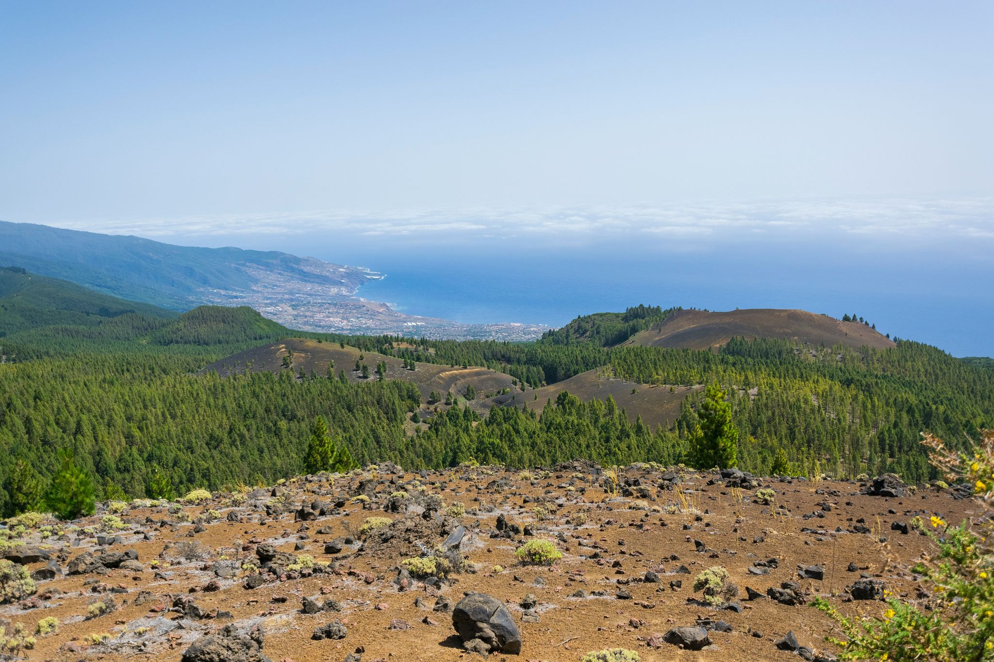
Around the beautiful island – La Palma Nature Trail (GR 130)
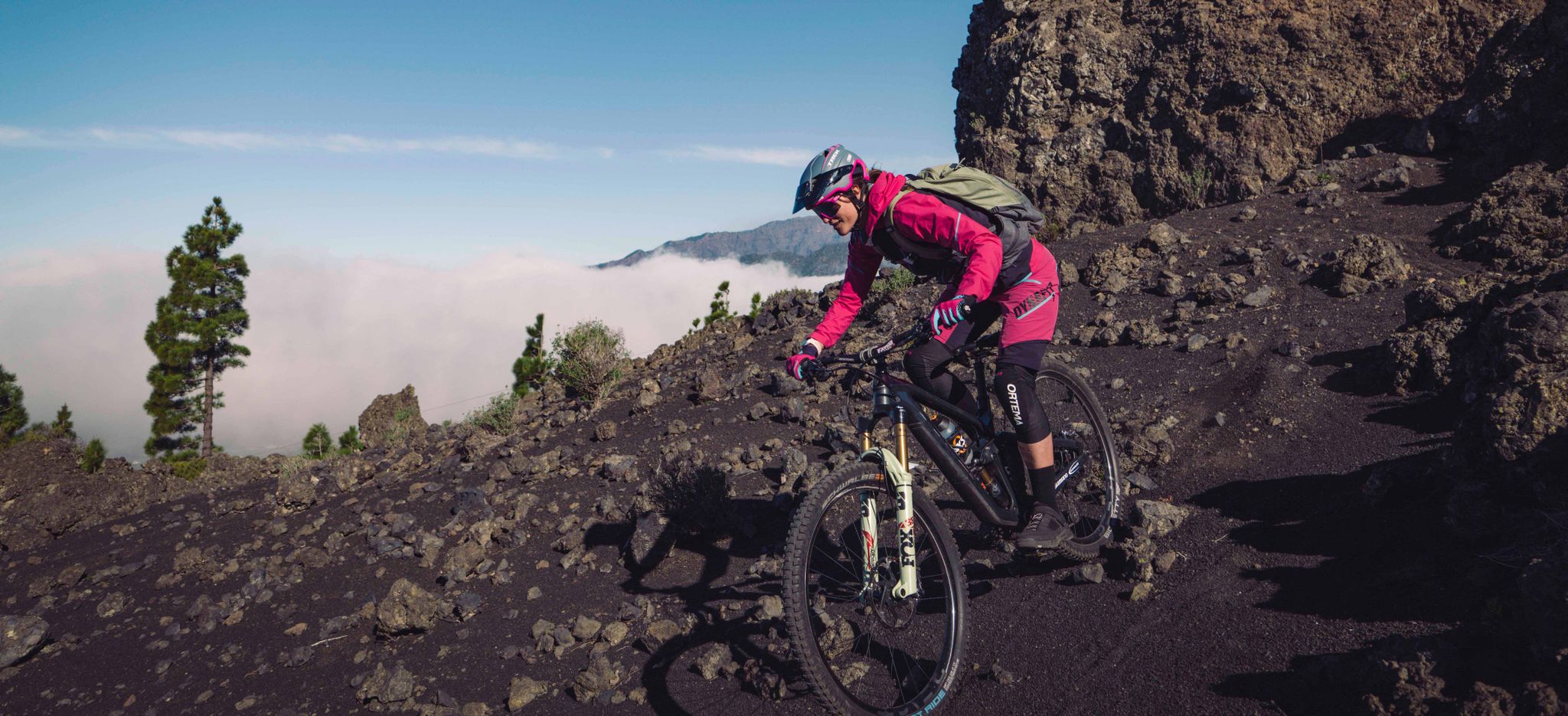
La Palma – my favourite Tours on the Canary Islands’ Isla Bonita
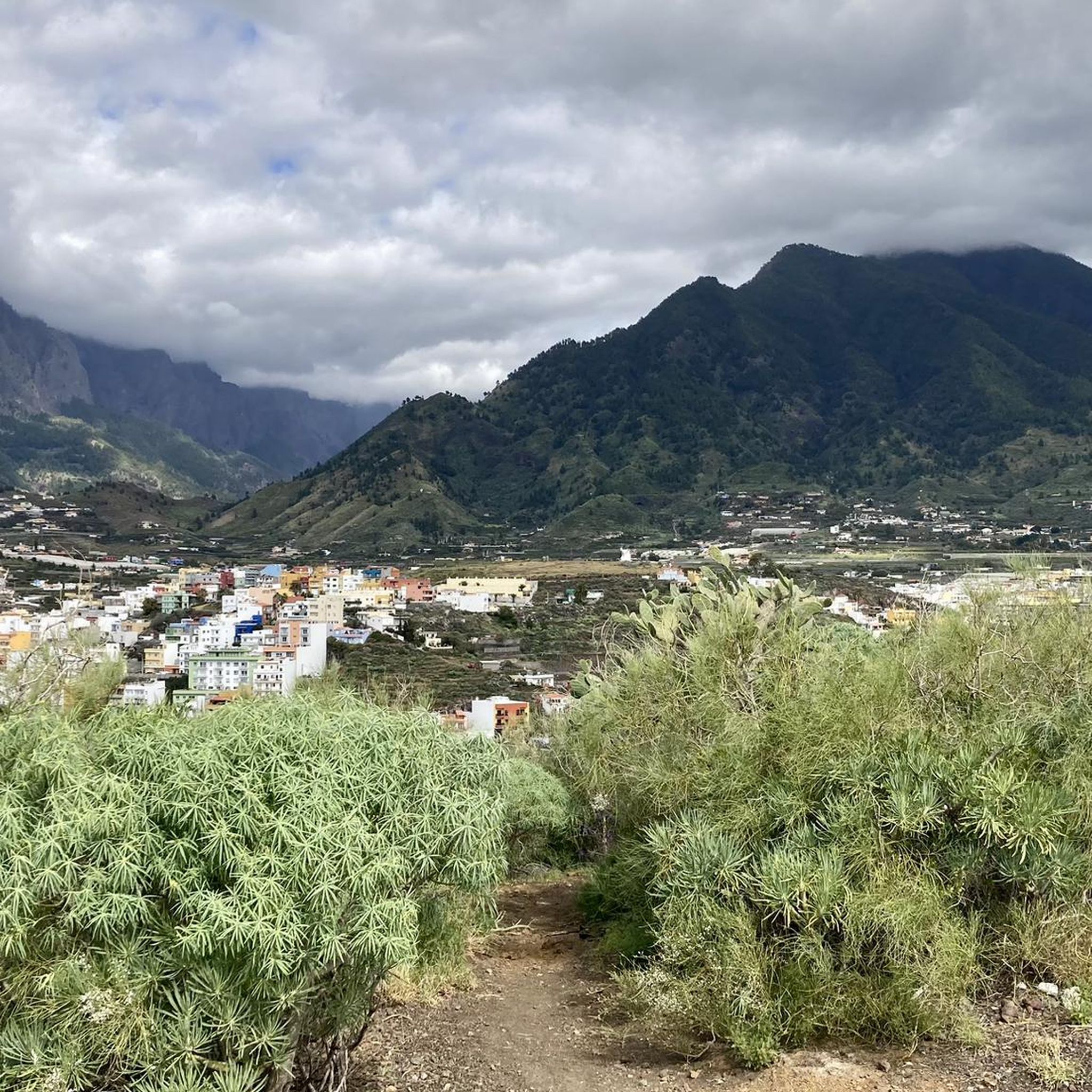
Hiking around Los Llanos De Aridane
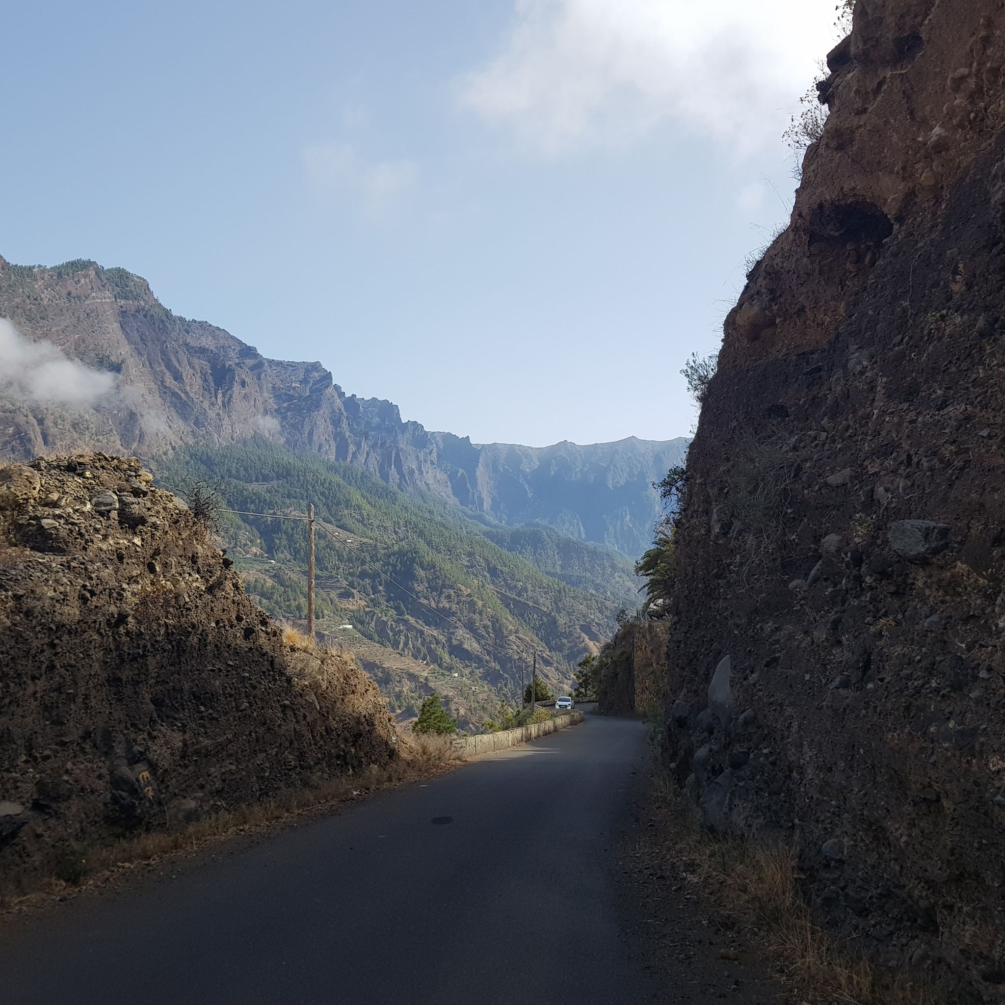
MTB Trails around Los Llanos De Aridane
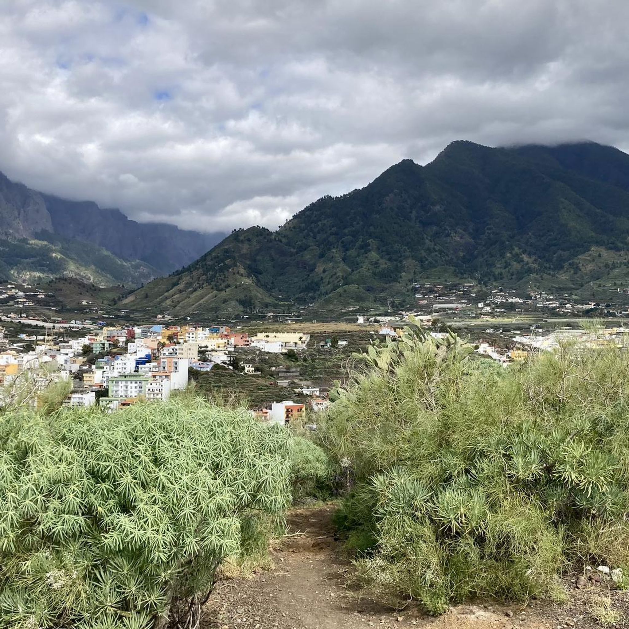
Cycling around Los Llanos De Aridane
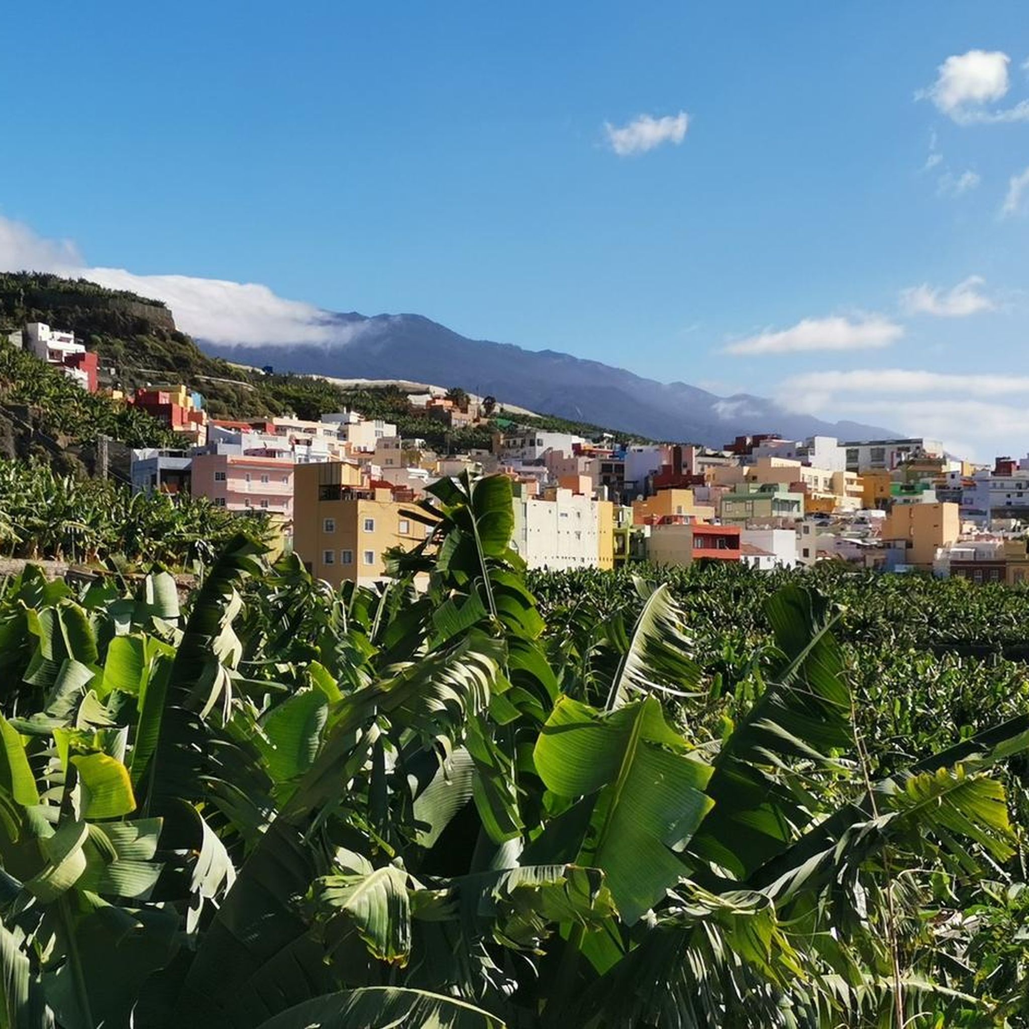
Running Trails around Los Llanos De Aridane

Mountain Hikes around Los Llanos De Aridane


Tips from the Community

The Caldera de Taburiente Visitor Center is a facility intended to offer information, education and guidance to visitors wishing to explore the Caldera de Taburiente National Park, located on the island of La Palma, in the Canary Islands. This center provides an introduction to the geology, flora, fauna and history of the park, as well as practical information on hiking trails, points of interest and conservation regulations. It usually has interactive exhibits, audiovisuals, maps, information panels, and trained staff to answer questions and provide assistance to visitors. https://www.youtube.com/watch?v=y5w7bNH22mU
1
0

A very rare opportunity to get fresh drinking water on La Palma. If you don't know it, you won't see the little tap on the side of the path. The water is 100% the finest drinking water. The “locals” showed me this place. So be sure to fill your bottles there! :)
3
0
Los Canarios is the capital of the municipality of Fuencaliente, on the island of La Palma (Canary Islands, Spain). It is located at 700 m above sea level. n. m., in a hole surrounded by volcanic cones covered with pine forests. The population center is more concentrated on both sides of the main road, and outside it it is more spread out. The fact that it is far from other population centers, that it is the southernmost town on the island, and that it is almost immersed in dense pine forests, gives it an aspect of isolation. At a certain time, the cultivation of cereals, fruit trees and vineyards was important in its surroundings. Nowadays, the vineyard is still important, plus the small self-sufficiency orchards. https://www.youtube.com/watch?v=sfeasyaLpV8
0
0
On clear days you can see Teide, El Hierro and La Gomera, you can't miss it https://www.youtube.com/watch?v=UqwZv4OZQ8k
1
0
From this viewpoint you can see panoramic views of the main population center of Fuencaliente, Los Canarios, and the San Antonio Volcano. To the right of this volcanic cone, on its slope, you can see the Roque Teneguía spot. This Roque is a testimony of the ancient volcanism of the region, on which there is a station of rock engravings of the aborigines of the Island.
1
0
The Time viewpoint commands one of the most spectacular views of the island of La Palma: the wide Aridane valley, covered by banana plantations and cut by a deep ravine, Las Angustias, which ends in the charming port of Tazacorte. On very clear days you can glimpse the island of El Hierro. This watchtower located at almost 700 meters above sea level is on the LP-1 highway. My advice is that you go to Bar El Time, right next to the viewpoint valcon and order the best coffee on the Island and drink it on the terrace, the views are even better. Don't forget to try their homemade cakes. Place with incredible views. The attention of 10. They let us come in to have a drink once closing time was over. From here you can see the devastation that the volcano has caused... It is advisable to stop for a drink and disconnect
2
0

Open every day from 9 a.m. to 7 p.m. It has an interesting exhibition, you will be able to obtain updated information on the state of the trails that make up the park.
1
0

Nice place to look into the caldera from above. Torre El Time (is a "fire station") is always worth a detour.
2
0
Frequently Asked Questions
How many road cycling routes are available around Los Llanos de Aridane?
There are over 18 road cycling routes in the Los Llanos de Aridane area, catering to various skill levels. These routes are highly rated by the komoot community, with an average score of 4.5 stars.
What kind of terrain can I expect on road cycling routes in Los Llanos de Aridane?
Road cycling routes in Los Llanos de Aridane feature diverse terrain, from well-paved coastal roads and banana plantations to challenging ascents through volcanic landscapes and into the hills. You'll encounter significant elevation changes, providing both demanding climbs and scenic descents.
Are there challenging road cycling routes for experienced riders?
Yes, Los Llanos de Aridane offers several challenging routes. For instance, the El Pilar Recreation Area – Echentive Beach loop from Los Llanos de Aridane is a difficult 100.7 km path with substantial elevation changes. The region's topography, including ascents towards areas like Roque de los Muchachos, provides exhilarating challenges for advanced cyclists.
What are some scenic viewpoints along the road cycling routes?
Many routes offer stunning views. The Puerto de Tazacorte Beach – El Time Viewpoint loop from Las Norias includes the El Time Viewpoint, known for its steep descent through the Barranco de Las Angustias and views of banana plantations. Other routes provide panoramic vistas of the Caldera Taburiente and the coastline.
What natural features can I explore while road cycling in the area?
You'll cycle through diverse natural settings, including expansive banana and avocado plantations, volcanic landscapes shaped by past eruptions, and coastal areas with black sand beaches. Routes also offer glimpses of the Caldera de Taburiente National Park and its dramatic walls.
Are there any loop routes available for road cyclists?
Yes, several routes are designed as loops. A popular option is From Las Manchas to the Old Fuencaliente Lighthouse – circular route in the South of La Palma, which covers 53.4 km and offers views of volcanic and coastal scenery. Another is the Las Angustias Pass Climb – El Time Viewpoint loop from Los Llanos de Aridane.
What is the best time of year for road cycling in Los Llanos de Aridane?
Los Llanos de Aridane benefits from mild, year-round pleasant weather, making it suitable for road cycling at any time. The consistent climate of La Palma, known as the 'Isla Bonita,' ensures good conditions for outdoor activities throughout the year.
Are there any specific attractions or landmarks to see along the routes?
Yes, routes often pass by or offer views of significant landmarks. You might encounter the Ascent to Roque de los Muchachos from Santa Cruz de la Palma, or the Cumbre Nueva Ridge Trail. The region also features cultural attractions like the Plaza de España in Los Llanos de Aridane with its Cuban Indian laurels.
Where can I find parking for road cycling routes in Los Llanos de Aridane?
While specific parking areas for each route vary, Los Llanos de Aridane, as a central municipality, offers various public parking options. It's advisable to check the starting point of your chosen route for the most convenient parking facilities.
Can I rent a road bike in Los Llanos de Aridane?
Yes, Los Llanos de Aridane and the wider La Palma island have a cycling community and resources. Services like 'Bike'n'Fun La Palma' offer bike rentals, including road bikes, as well as tours and repair services, enhancing the cycling experience.
What do other road cyclists enjoy most about road cycling in Los Llanos de Aridane?
The area is highly rated by the komoot community, with an average score of 4.5 stars from over 50 reviews. Cyclists frequently praise the diverse volcanic landscapes, the challenging climbs, and the stunning coastal views. The well-paved roads and varied gradients are also often highlighted as key attractions.
Are there any easier road cycling routes suitable for beginners or families?
While many routes in Los Llanos de Aridane feature significant elevation changes and are rated moderate to difficult, some segments or shorter loops might be more accessible. It's recommended to check the elevation profile and distance of individual routes on komoot to find options with less demanding climbs, though truly 'easy' flat routes are less common due to the island's mountainous nature.
Most popular attractions around Los Llanos De Aridane

Get inspired with the komoot mobile app


Explore more
Browse the best Road cycling routes in other regions.
