The best mountain hikes around San Andrés Y Sauces
4.6
(5)
36
hikers
5
hikes
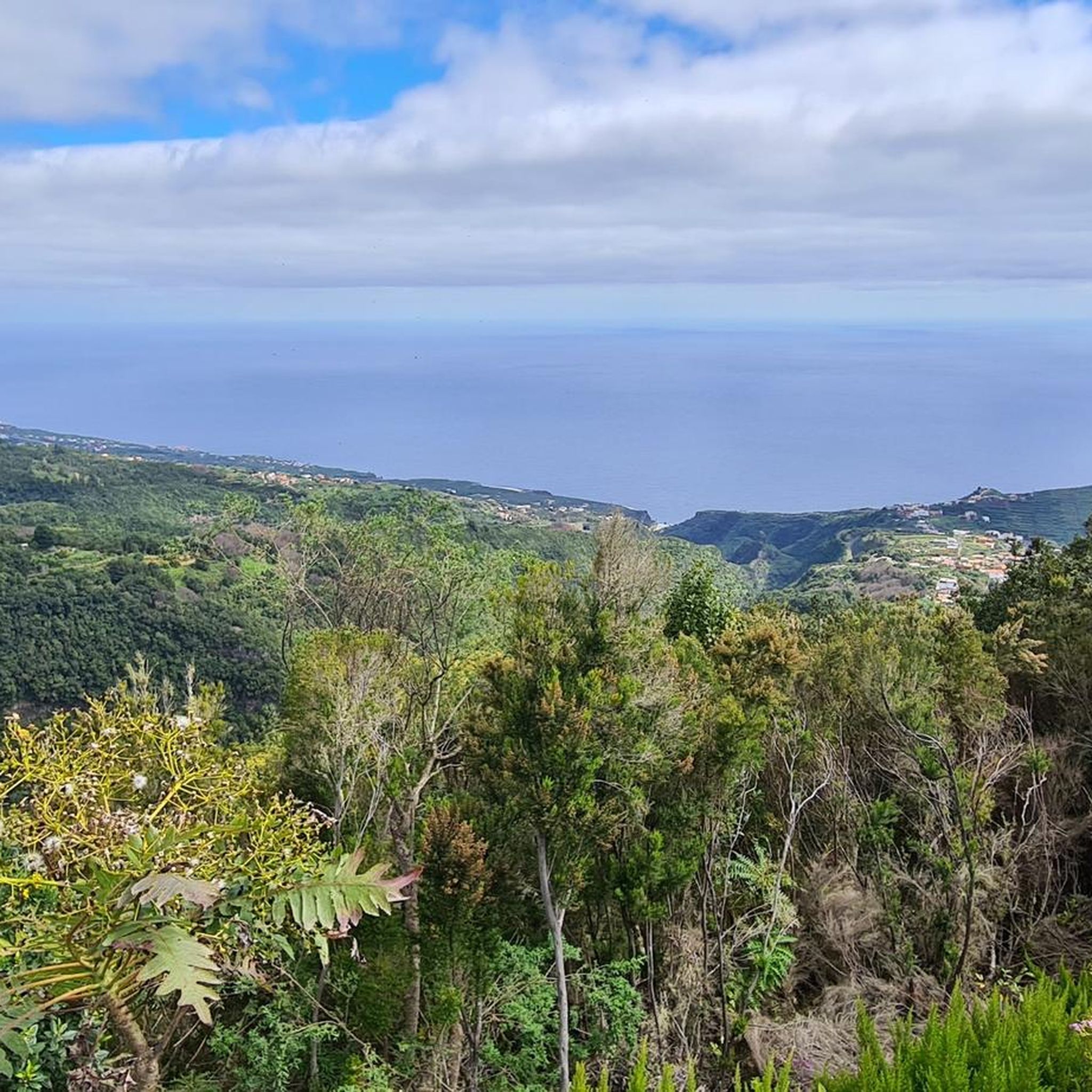
Mountaineering routes around San Andrés Y Sauces traverse a diverse landscape characterized by volcanic peaks, deep gorges, and ancient laurel forests on the island of La Palma. The region offers varied terrain, from challenging ascents to more gentle paths through lush vegetation. Elevations can vary significantly, providing panoramic views of the Atlantic Ocean and the island's interior. The area is defined by its dramatic cliffs and ridges, remnants of its volcanic origins.
Best mountaineering routes around San Andrés Y Sauces
…Last updated: July 1, 2026
3.0
(1)
9
hikers
Moderate mountaineering route. Great for any fitness level. Mostly accessible paths. Sure-footedness required.
5.0
(1)
7
hikers
Moderate mountaineering route. Good fitness required. Mostly accessible paths. Sure-footedness required.

Sign up for free
5.0
(1)
10
hikers
Moderate mountaineering route. Good fitness required. Mostly accessible paths. Sure-footedness required.
5.0
(1)
5
hikers
Moderate mountaineering route. Good fitness required. Easily-accessible paths. Suitable for all skill levels.
5.0
(1)
5
hikers
10.1km
03:47
330m
330m
Moderate mountaineering route. Good fitness required. Mostly accessible paths. Sure-footedness required.
Our route recommendations are based on thousands of hikes, rides, and runs completed by other people on komoot.
Start today with a free account
Your next adventure awaits.
Login or Signup
Popular around San Andrés Y Sauces

Other adventures around San Andrés Y Sauces

Tips from the Community

La Piedra Llana is one of the most characteristic peaks on the rim of the Taburiente caldera, on the island of La Palma. Like all mountains located on the rim of a caldera, it has a fairly gentle slope on the outer edge of the crater, but drops steeply towards the center.
0
0

Caldera de Agua path is themporarily closed (19-05-2026).
0
0

Take your time while hiking here. The views are beautiful.
0
0
It currently looks very neglected.
0
0

From the summit of Pico de la Cruz, there's a beautiful view that's well worth every effort! You won't be at the summit long before the summit lords come looking to see if they can find anything. In any case, I consider a visit to the summit a must.
0
0
Beautiful view into the caldera basin
0
0
A beautiful, but nameless viewpoint. The view is breathtaking, with one of the Caldera de Taburiente and the other of the cliffs and mountains.
0
0

The La Zarzita circular trail, featuring the petroglyphs and the Guanche spring, has been permanently closed since the end of 2023 following several landslides. A decision will only be made once it's clear whether restoration is possible and financially viable. A timeline isn't foreseeable. As a result, the visitor center and its parking lot were also closed, as it's pointless to operate an information center for something that can no longer be visited. There are no plans to reopen this area in the foreseeable future, either. A real shame!
0
0
Frequently Asked Questions
How many mountaineering routes are available in San Andrés Y Sauces?
There are 9 distinct mountaineering routes around San Andrés Y Sauces, offering a range of experiences from easy walks to challenging ascents. The region is known for its diverse volcanic landscapes and ancient laurel forests.
Are there any easy mountaineering routes suitable for beginners?
Yes, for those seeking a less strenuous experience, the Roque de los Muchachos loop from Roque de los Muchachos Observatory is an easy option. It's a shorter trail, approximately 1.2 km, and can be completed in about 27 minutes, offering stunning views without significant elevation gain.
What is the best season for mountaineering in San Andrés Y Sauces?
San Andrés Y Sauces, like much of La Palma, enjoys a mild climate year-round. However, the best time for mountaineering is generally from late spring to early autumn (May to October) when the weather is most stable and temperatures are pleasant. Winter months can bring more rain and cooler temperatures, especially at higher elevations.
Are there any circular mountaineering routes in the area?
Many of the routes in San Andrés Y Sauces are designed as circular paths, allowing you to return to your starting point without retracing your steps. For example, the Roque de los Muchachos – Pico Fuente Nueva loop from Roque de los Muchachos Observatory is a moderate circular route covering nearly 10 km.
What kind of natural landmarks can I expect to see along the mountaineering routes?
The routes traverse a landscape rich in natural beauty. You can encounter dramatic volcanic peaks like Roque de los Muchachos and Pico Bejenado, deep gorges such as Cubo de la Galga Gorge, and even the unique Colorful Waterfall. These features highlight the island's volcanic origins and lush vegetation.
Are there any challenging routes for experienced mountaineers?
Yes, for those seeking a more demanding adventure, the region offers difficult routes. The El Rodeo – Pico Bejenado loop from Start of Pico Bejenado hike is classified as difficult, covering 11.7 km with significant elevation changes, typically taking over 5 hours to complete.
What do other mountaineers say about the routes in San Andrés Y Sauces?
The mountaineering routes in San Andrés Y Sauces are highly regarded by the komoot community, boasting an average rating of 4.7 stars from over 20 reviews. Users frequently praise the stunning panoramic views, the unique volcanic landscapes, and the immersive experience of hiking through ancient laurel forests.
Are there any family-friendly mountaineering options?
While many routes involve significant elevation, some shorter, moderate trails can be suitable for families with older children or those accustomed to hiking. The Mirador Lomo de las Chozas loop from Mirador de la Cumbrecita is a moderate 3.6 km trail with scenic viewpoints, often completed in just over an hour, making it a good option for a family outing.
Are permits required for mountaineering in San Andrés Y Sauces?
Generally, permits are not required for most public mountaineering trails in San Andrés Y Sauces. However, for specific protected areas or certain sections within national parks, it's always advisable to check with local park authorities for any current regulations or restrictions, especially for larger groups or overnight stays.
What are the conditions like for mountaineering during winter months?
During winter (roughly November to April), the lower elevations in San Andrés Y Sauces remain mild. However, higher peaks, particularly around the Caldera de Taburiente National Park, can experience colder temperatures, strong winds, and occasional rain. Snow is rare but possible at the very highest points. Always check local weather forecasts before heading out in winter and be prepared for changing conditions.
Are there any routes that pass through the famous laurel forests?
Yes, the region is renowned for its ancient laurel forests. The Rocky Cliffs – Laurisilva Gorge Trail loop from Cubo de La Galga B is an excellent moderate route that specifically winds through a laurisilva gorge, allowing you to experience this unique and lush ecosystem firsthand.
Most popular attractions around San Andrés Y Sauces

Get inspired with the komoot mobile app


Explore more
Browse the best Mountain Hikes & Routes in other regions.
