The best cycling routes around Cumbres De San Bartolomé
29
riders
4
rides
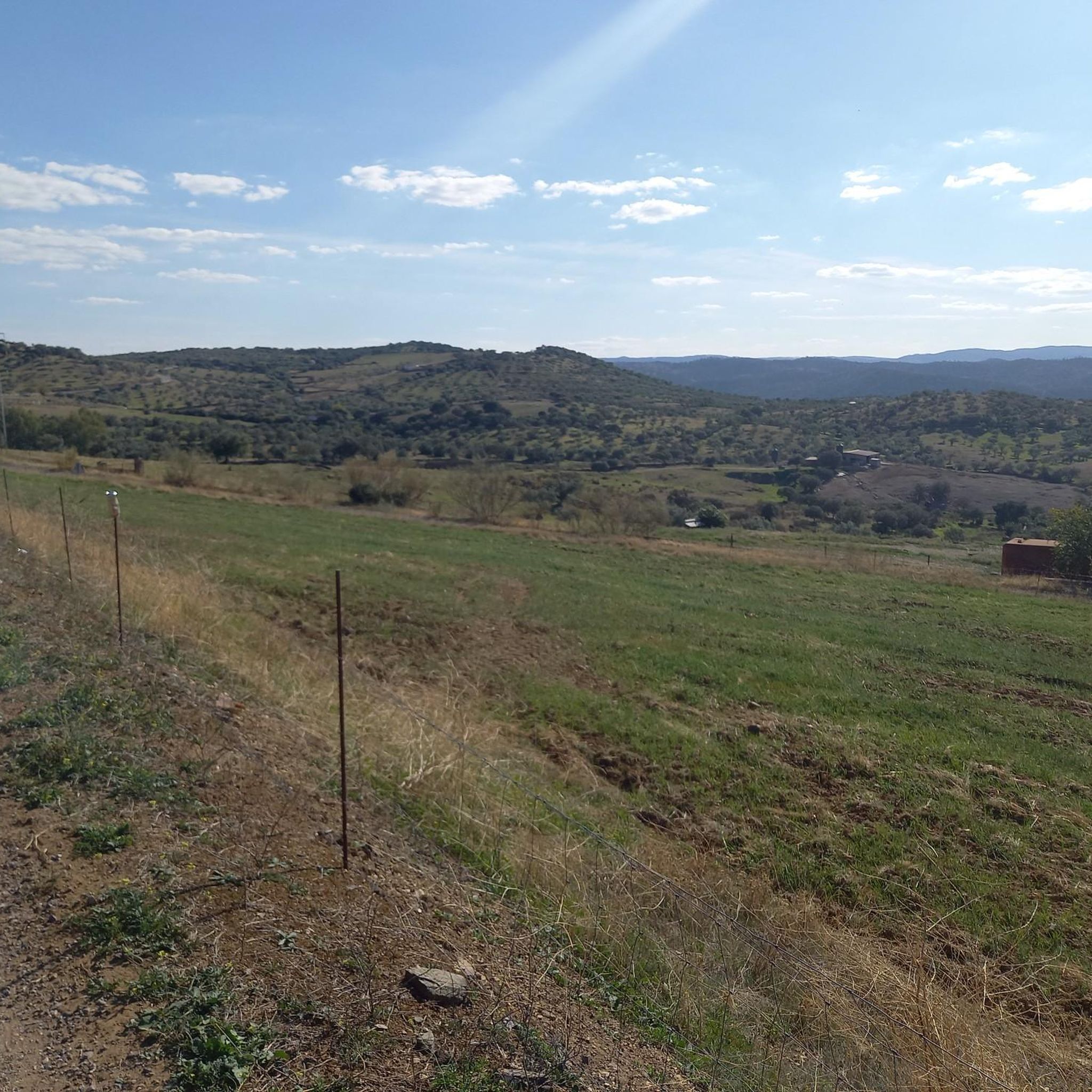
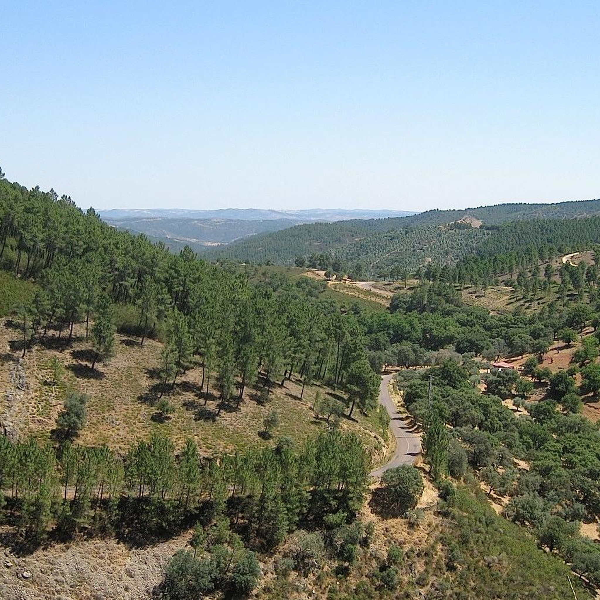
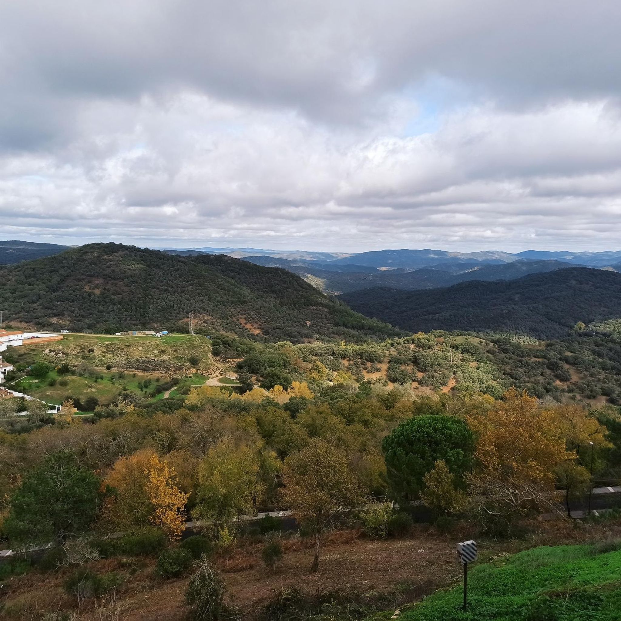
Touring cycling routes around Cumbres De San Bartolomé traverse diverse landscapes within the Sierra de Aracena and Picos de Aroche Natural Park. The region features extensive forests of holm oaks, cork oaks, and chestnut trees, alongside traditional "dehesas" or wooded pastures. Cyclists will encounter undulating terrain, offering panoramic views of valleys and mountains, with numerous streams crisscrossing the area.
Best touring cycling routes around Cumbres De San Bartolomé
- The most popular touring cycling route is Linares de la Sierra –…
Last updated: July 2, 2026
11
riders
41.3km
03:57
1,170m
1,170m
Hard bike ride. Very good fitness required. You may need to push your bike for some segments of this route.
3
riders
49.4km
03:17
760m
760m
Hard bike ride. Very good fitness required. Mostly paved surfaces. Suitable for all skill levels.

Sign up for free
3
riders
61.8km
04:08
920m
920m
Hard bike ride. Very good fitness required. Mostly paved surfaces. Suitable for all skill levels.
2
riders
38.0km
03:11
740m
740m
Hard bike ride. Very good fitness required. Mostly paved surfaces. Suitable for all skill levels.
2
riders
33.0km
02:22
570m
560m
Hard bike ride. Very good fitness required. Mostly paved surfaces. Suitable for all skill levels.
Our route recommendations are based on thousands of hikes, rides, and runs completed by other people on komoot.
Start today with a free account
Your next adventure awaits.
Login or Signup

Tips from the Community


A short route, 8 km. Very easy, it follows marked and accessible paths. You must pass through two gates closed for animal crossings, which must be re-closed. Part of the route passes by a stream and waterfalls. The other part follows a fairly wide path with trees on either side and therefore receives a lot of sun. I don't think it's a good option in summer. In short, a beautiful route and a beautiful town.
0
0

The Convent of the Poor Clares in Cumbres Mayores, Huelva, has a rich and significant history. Founded in 1467 by Papal Bull of Pope Paul II, it was initially called "Our Lady of Consolation". In 1515, it was rebuilt under the guardianship of the Cathedral of Seville and was renamed "Our Lady of the Conception".
3
0
The Hermitage of Our Lady of Hope in Cumbres Mayores, Huelva, is a place of great historical and religious value. Its construction dates back to the beginning of the 14th century, although it has undergone several renovations over the centuries.
3
0

This old convent, founded in the mid-15th century, belonged to the Franciscan Poor Clares until the 19th century. Today it only conserves the cover, built in granite and in the late Gothic style.
1
0
This castle belonging to the Galician Band was built between the 13th and 15th centuries under the reign of Sancho IV el Bravo. It has eight towers linked by a great stone wall. It is worth visiting its interior, which can be accessed on weekends and holidays for less than two euros.
1
0
The castle of Cumbres de San Bartolomé is a construction from the 13th and 14th centuries located in the historic center of the municipality of the same name. This fortification is part of the Banda Gallega, a group of castles from the Late Middle Ages that were close to the border with Portugal.
1
0
Very close to the town of Cumbres Mayores is the enclosure that houses this hermitage and the Monastery of Divine Mercy and San José. It also connects with a new route (PR-A 447), inaugurated at the end of 2022. Called "Quality by Nature", this route of about 16 kilometers surrounds the entire municipality of Cumbres Mayores.
0
0
Frequently Asked Questions
What kind of terrain and landscapes can I expect on touring cycling routes around Cumbres de San Bartolomé?
Touring cycling routes in Cumbres de San Bartolomé traverse diverse landscapes within the Sierra de Aracena and Picos de Aroche Natural Park. You'll encounter extensive forests of holm oaks, cork oaks, and chestnut trees, alongside traditional "dehesas" (wooded pastures). The terrain is undulating, offering panoramic views of valleys and mountains, with numerous streams crisscrossing the area. Expect a mix of traditional paths, countryside alleys, causeways, and cattle tracks, often featuring dry stone walls and Mediterranean flora.
Are there circular touring cycling routes available in Cumbres de San Bartolomé?
Yes, several popular touring cycling routes in the area are circular. For example, you can explore the Linares de la Sierra – Linares de la Sierra Square loop from Valdelarco or the Barrancos loop from Barrancos, both offering a full circuit back to the starting point.
What historical sites or viewpoints can I visit while cycling in the area?
The region is rich in historical and natural attractions. You can visit the medieval Cortegana Castle or the Convent of the Poor Clares. For stunning views, consider visiting viewpoints like Mirador Piedra Utrera, Mirador Monturrio (which also has Roman remains), or Mirador El Cabezuelo. The Convent of the Poor Clares – Cumbres Mayores Castle loop from Encinasola route passes by some notable historical landmarks.
What is the best time of year for touring cycling in Cumbres de San Bartolomé?
The Sierra de Aracena and Picos de Aroche Natural Park generally enjoys a mild climate, making it pleasant for outdoor activities for much of the year. Spring and autumn are ideal, offering comfortable temperatures and lush scenery. While winters are mild, the summer months of July and August can be very hot, so it's advisable to cycle early in the morning or late in the afternoon during these periods.
Are there any family-friendly touring cycling routes in Cumbres de San Bartolomé?
The touring cycling routes listed for Cumbres de San Bartolomé are generally classified as difficult due to significant elevation changes and varied terrain. While the region is beautiful, routes like the Higuera la Real loop from Higuera la Real involve considerable climbs, which might be challenging for younger children or less experienced family members. It's recommended to assess the elevation profiles carefully.
Can I bring my dog on touring cycling routes in Cumbres de San Bartolomé?
As Cumbres de San Bartolomé is located within a Natural Park, dogs are generally permitted on trails, but it's crucial to keep them on a leash to protect wildlife and ensure their safety. Always carry water for your dog, especially during warmer months, as some routes can be long and exposed.
How can I reach Cumbres de San Bartolomé by public transport with my bike?
Public transport options directly to Cumbres de San Bartolomé that accommodate bicycles can be limited. While local bus services connect some towns in the Sierra de Aracena, it's best to check with specific bus companies regarding their policy on transporting bikes. Many cyclists prefer to drive to the area and park, or cycle from a nearby larger town.
Where can I park my car when starting a touring cycling route in Cumbres de San Bartolomé?
In Cumbres de San Bartolomé and surrounding villages like Valdelarco, Barrancos, or Higuera la Real, you can typically find public parking areas within or on the outskirts of the settlements. Look for designated parking spots near the town centers or trailheads. Always ensure your vehicle is parked legally and safely, especially when leaving it for an extended period.
Are there places to eat or stay overnight near the cycling routes?
Yes, the villages within and around the Sierra de Aracena and Picos de Aroche Natural Park, including Cumbres de San Bartolomé, offer various options for food and accommodation. You'll find local restaurants serving traditional cuisine, as well as guesthouses and rural accommodations. It's advisable to book in advance, especially during peak seasons.
Which routes offer views of the characteristic 'dehesas' and riverine forests?
The Barrancos loop from Barrancos is particularly noted for offering views of the characteristic dehesas and lush riverine forests along its path. These landscapes are a defining feature of the natural park, showcasing traditional agricultural practices and rich biodiversity.
What are the typical elevation changes on touring cycling routes in Cumbres de San Bartolomé?
Touring cycling routes in Cumbres de San Bartolomé feature significant elevation changes, contributing to their 'difficult' classification. For instance, the Linares de la Sierra – Linares de la Sierra Square loop from Valdelarco involves over 1100 meters of ascent and descent, while the Higuera la Real loop from Higuera la Real has around 760 meters of elevation gain. Cyclists should be prepared for undulating terrain and challenging climbs.
Are there any longer touring cycling routes for experienced cyclists?
For experienced cyclists looking for a longer challenge, the Convent of the Poor Clares – Cumbres Mayores Castle loop from Encinasola is a substantial option. This route covers over 61 kilometers (38 miles) with significant elevation changes, offering an extended exploration of the region's landscapes and historical sites.
Most popular routes around Cumbres De San Bartolomé
Most popular attractions around Cumbres De San Bartolomé

Get inspired with the komoot mobile app


Explore more
Browse the best Cycling routes in other regions.
