The best mountain hikes around Naut Aran
4.6
(5)
52
hikers
6
hikes
Mountaineering routes around Naut Aran traverse the high Pyrenean landscape, characterized by rugged peaks, deep valleys, and numerous alpine lakes (ibones). The region features significant elevation changes, offering challenging ascents and descents across rocky terrain and mountain passes. Glacial cirques and granite formations are common, providing a demanding environment for experienced mountaineers.
Best mountaineering routes around Naut Aran
- The most popular mountaineering route is Collado de Molières – Ibones de Molières loop from Espitau de Vielha, an 8.5 miles…
Last updated: August 13, 2026
4.5
(2)
16
hikers
14.0km
06:25
840m
840m
Hard mountaineering route. Very good fitness required. Sure-footedness, sturdy shoes and alpine experience required.
5.0
(1)
11
hikers
11.5km
05:53
930m
930m
Hard mountaineering route. Very good fitness required. Sure-footedness, sturdy shoes and alpine experience required.

Sign up for free
4.0
(1)
11
hikers
16.1km
05:42
570m
570m
Hard mountaineering route. Very good fitness required. Mostly accessible paths. Sure-footedness required.
6
hikers
18.7km
10:42
1,830m
1,830m
Hard mountaineering route. Very good fitness required. Sure-footedness, sturdy shoes and alpine experience required.
7
hikers
Moderate mountaineering route. Good fitness required. Mostly accessible paths. Sure-footedness required.
Our route recommendations are based on thousands of hikes, rides, and runs completed by other people on komoot.
Start today with a free account
Your next adventure awaits.
Login or Signup
Popular around Naut Aran
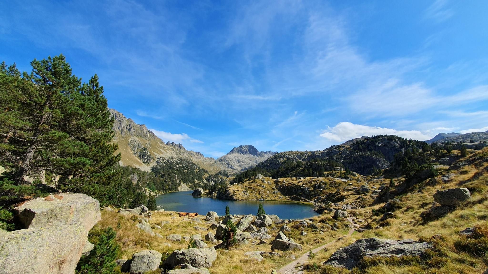
100 miles in paradise - Discover the Val d'Aran by UTMB

Haute Route Pyrénéenne – Pyrenees Crossing
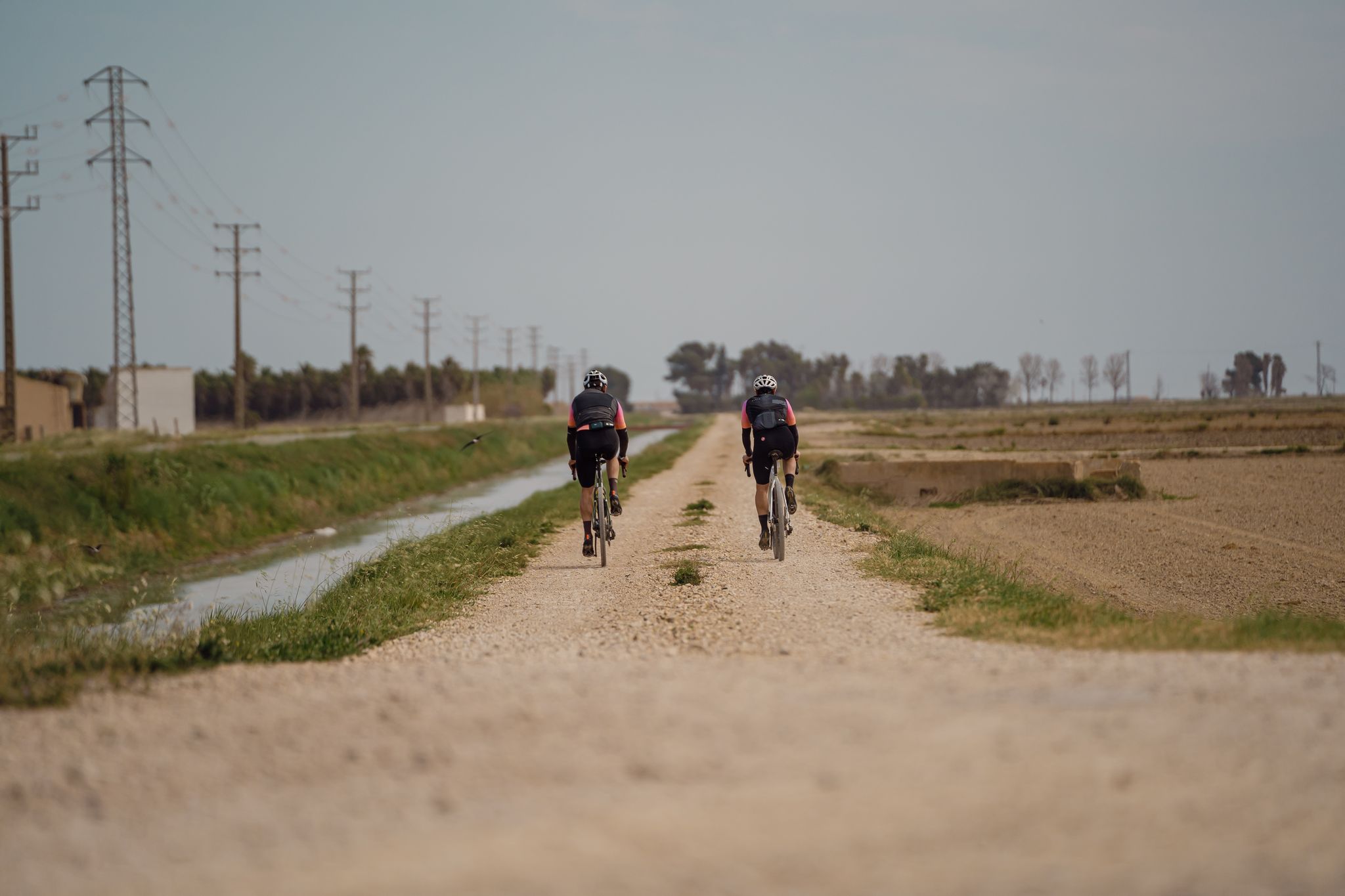
Discover Catalonia on a gravel bike
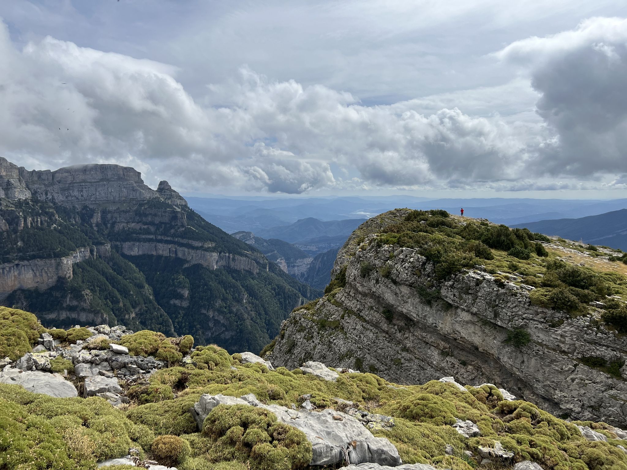
Summit conquests and idyllic mountain lakes – Spanish Pyrenees
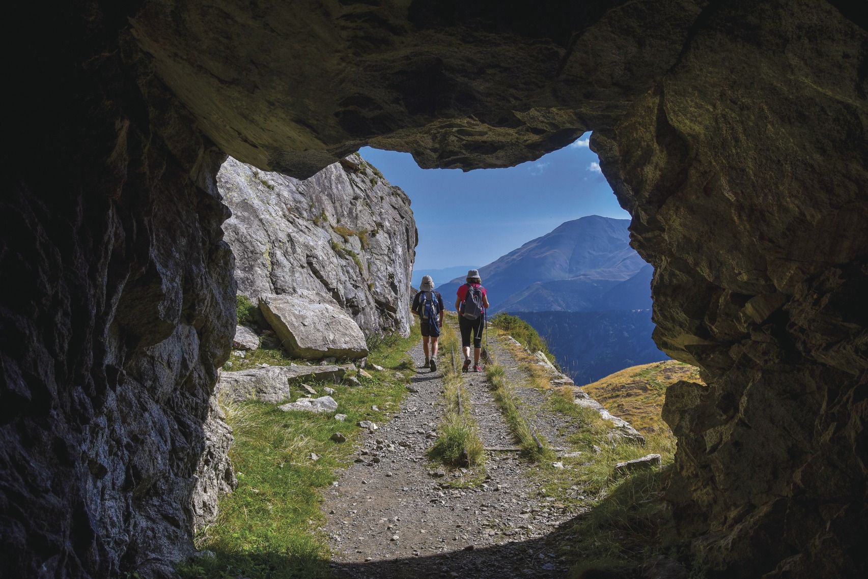
Six spectacular circular tours to discover Catalonia
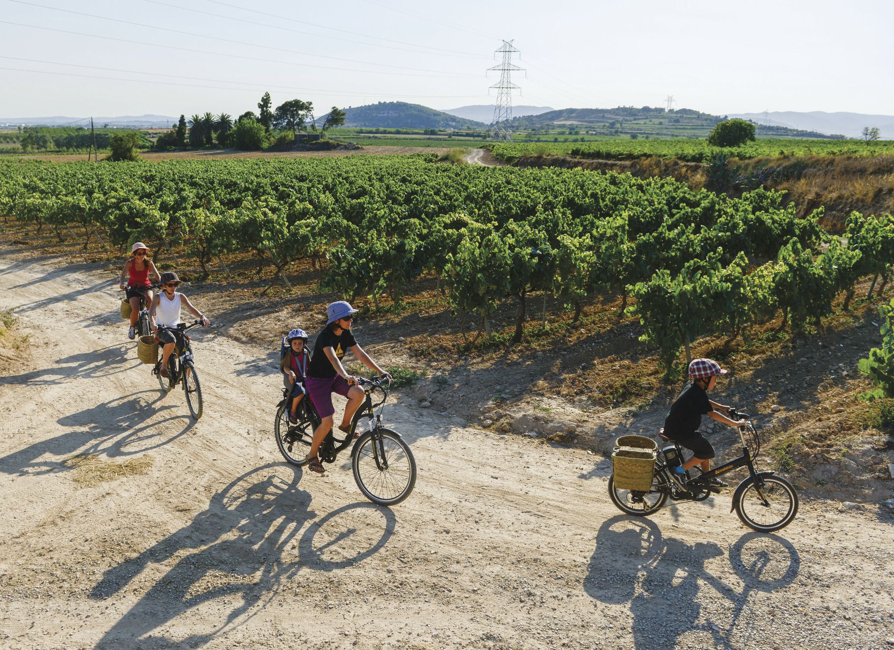
Cycling through Catalonia with your family
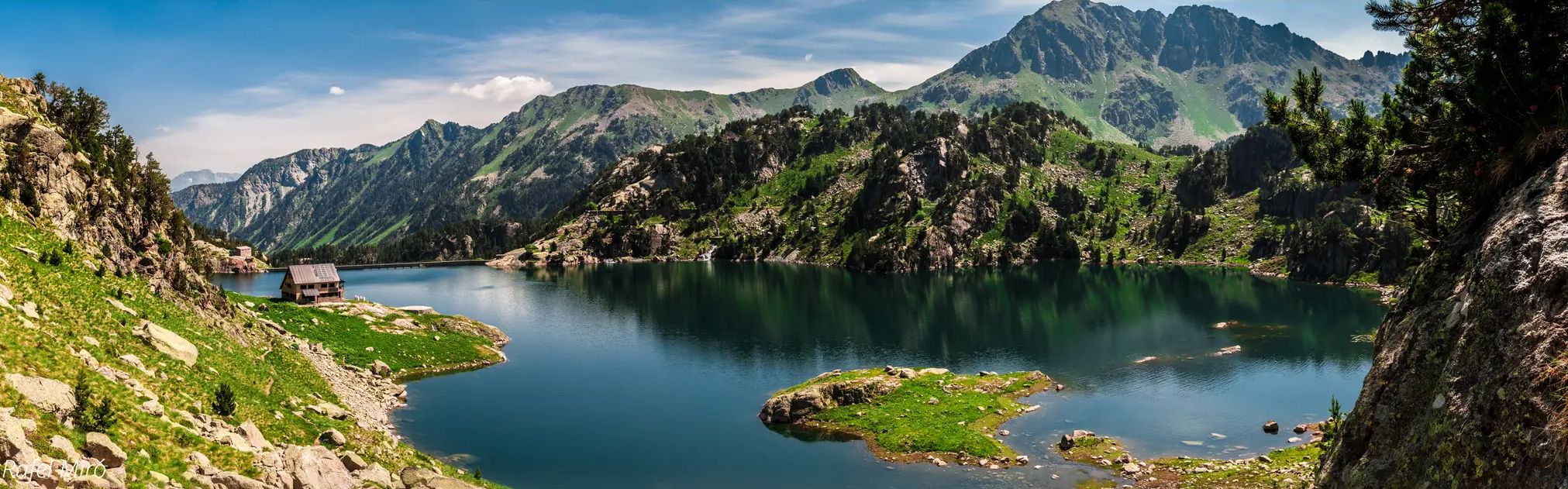
Aigüestortes lakes and mountain huts – Carros de Foc Plus

Catalonia and Andorra on the Pyrenean Trail – GR 11
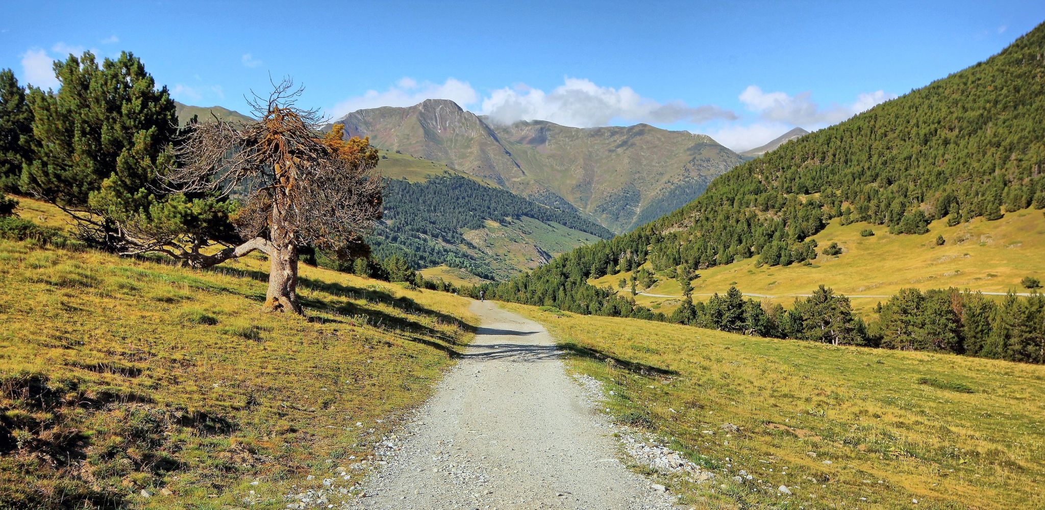
Linking history and nature – Val d'Aran circular (GR 211) in France
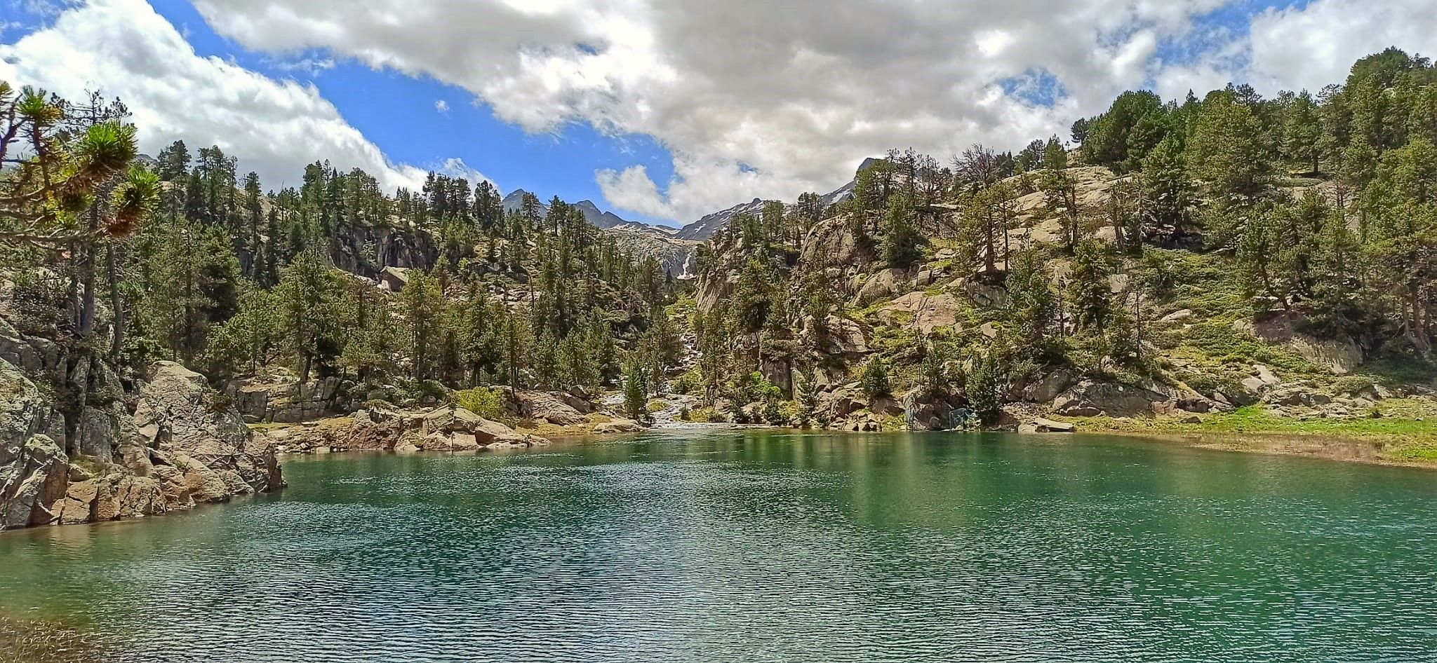
Hiking in fairytale valleys — Spain’s Aigüestortes National Park
Other adventures around Naut Aran


Tips from the Community

Lake Obago is a lake of glacial origin located at 2,236 m in the municipality of Alto Arán, in the Valle de Arán region. Lake Obago is one of the largest lakes in the Cirque de Colomers, a glacial cirque of more than 50 lakes crowned by peaks that exceed 2,500 meters, such as the Tuc de Ratera (2,861 m) or the Gran Tuc de Colomers (2,933 meters).
0
0
Lake Mayor de Colomers is a lake of glacial origin located at 2128 m in the municipality of Alto Arán, in the Valle de Arán region. Lake Mayor de Colomers is one of the largest lakes in the Cirque de Colomers, a glacial cirque of more than 50 lakes crowned by peaks that exceed 2,500 meters, such as the Tuc de Ratera (2,861 m) or the Gran Tuc de Colomers (2,933 meters). ). The Colomers refuge is located near the lake.
0
0

Gerber Lake is the largest lake in the valley, enclosed by spectacular rock walls. If we want to enjoy a good view of the lake we must ascend a little along the path that goes up on its left side.
0
0
The Mataró refuge, Gerber refuge or Gerber metallic refuge, is located next to La Isla lake, in the Gerber valley, at 2,460 meters of altitude. From the refuge we have magnificent views over the Gerber valley, the lakes we passed on the way up (Estanyola de Gerber, Estany Gerber, Estany Llong, Estany L´Illa) and the peaks that surround us Pic de Saboredo, Pic d´ Medias or Pico de Bassiero).
0
0


The Nerech waterfall is one of the most powerful in the Pyrenees. It flows into the heart of Couserans (vast territory combining high mountains, mountains and foothills, and covered areas). It is home to rich biodiversity. Among the species most observed here, there is a very wide variety of wild orchids.
2
0

The lake of Còth de Baish can be seen from the pass of the same name, at an altitude of 2,190 metres. From the pass it is possible to descend to the lake to admire it up close.
0
0

One of the smallest, but also very flirtatious.
3
0
Frequently Asked Questions
Are there any beginner-friendly mountaineering routes in Naut Aran?
Naut Aran's mountaineering routes are primarily challenging, with 15 out of 17 routes rated as difficult. There are only 2 moderate routes, making it less suitable for beginners looking for an easy introduction to mountaineering. The region is best suited for experienced individuals.
What are some of the most challenging mountaineering routes in Naut Aran?
For experienced mountaineers, routes like the Collado de Molières – Ibones de Molières loop from Espitau de Vielha offer significant elevation gain and rugged terrain. Another demanding option is the Punta Alta Summit – Presa de Caballers loop from Pantà de Cavallers, which includes a challenging summit ascent with panoramic views.
Are there any circular mountaineering routes in Naut Aran?
Yes, many of the mountaineering routes in Naut Aran are designed as loops. For example, the Canal de Tuqueta de Saboredo loop from Port de la Bonaigua is a popular circular trail leading through high mountain passes. Another option is the Besiberri New Refuge loop from Noguera Ribagorçana.
What kind of natural attractions can I expect to see along the mountaineering routes?
The routes traverse a high Pyrenean landscape, featuring rugged peaks, deep valleys, and numerous alpine lakes (ibones). You might encounter glacial cirques and granite formations. Notable highlights include the Pico de Ratera, the scenic Artiga de Lin Valley, and the impressive Monestero Pass.
Are there any waterfalls or gorges to explore in Naut Aran?
Yes, the region features several impressive gorges and waterfalls. You can find the Salenques Falls and explore areas like the Corilha Ravine or the Barranco de Casau, which offer dramatic natural scenery.
What is the best season for mountaineering in Naut Aran?
The best season for mountaineering in Naut Aran is typically from late spring to early autumn (June to September) when the snow has largely melted from higher elevations and weather conditions are more stable. However, conditions can change rapidly in the mountains, so always check local forecasts.
Is winter mountaineering possible in Naut Aran?
Winter mountaineering in Naut Aran is possible but requires significant experience, specialized equipment (such as ice axes, crampons, and avalanche safety gear), and a thorough understanding of avalanche risk. Many routes become significantly more challenging and dangerous due to snow and ice.
What do other mountaineers enjoy most about the routes in Naut Aran?
The mountaineering routes in Naut Aran are highly rated by the komoot community, with an average score of 4.8 stars. Reviewers often praise the stunning high mountain passes, the beauty of the alpine lakes, and the challenging nature of the summit ascents that define the region's unique Pyrenean landscape.
Are there any hidden gem mountaineering routes in Naut Aran?
While many routes are well-known, exploring less frequented paths can reveal hidden gems. Consider the Restanca Refuge – Montardo Summit Cairn loop from Refugi de la Restanca for a challenging experience that offers breathtaking views away from the most popular trails.
Can I find wild swimming spots near the mountaineering trails in Naut Aran?
The high Pyrenean landscape of Naut Aran is dotted with numerous alpine lakes, known as 'ibones.' While not officially designated swimming spots, many mountaineers enjoy a refreshing dip in these cold, clear mountain waters during warmer months. Always be mindful of the fragile alpine environment.
What gear should I bring for mountaineering in Naut Aran?
Given the challenging nature of the routes, essential gear includes sturdy mountaineering boots, appropriate layers of clothing for varying weather, a waterproof jacket, navigation tools (map, compass, GPS), sufficient water and food, and a first-aid kit. For more technical routes, an ice axe and crampons may be necessary, especially early or late in the season.
Most popular attractions around Naut Aran

Get inspired with the komoot mobile app


Explore more
Browse the best Mountain Hikes & Routes in other regions.
