The best running trails around Lladorre
4.3
(15)
1,503
runners
90
runs
Jogging routes around Lladorre offer an exploration of the high-mountain landscapes within the Alt Pirineu Natural Park. The region is characterized by mountainous ridges, with numerous peaks rising above two thousand meters, providing varied and challenging terrain. Glacial lakes, such as Lake Certascan, and rivers like the Tavascan and Noguera de Lladorre, contribute to diverse running environments, from high-altitude trails to gentler valley paths. This setting provides a range of running experiences amidst preserved natural environments.
Best jogging routes around…
Last updated: July 4, 2026
160
runners
Hard run. Very good fitness required. Sure-footedness, sturdy shoes and alpine experience required.
6
runners
11.2km
02:27
1,040m
1,040m
Hard run. Very good fitness required. Sure-footedness, sturdy shoes and alpine experience required.

Sign up for free
3.0
(2)
11
runners
11.7km
01:44
400m
400m
Hard run. Very good fitness required. Sure-footedness, sturdy shoes and alpine experience required.
12
runners
7.28km
00:56
190m
190m
Moderate run. Good fitness required. Mostly paved surfaces. Suitable for all skill levels.
9
runners
17.7km
04:03
1,630m
1,630m
Hard run. Very good fitness required. Sure-footedness, sturdy shoes and alpine experience required.
Get access to more routes and recommendations from other explorers.
Sign up for free
Already have an account?
Our route recommendations are based on thousands of hikes, rides, and runs completed by other people on komoot.
Start today with a free account
Your next adventure awaits.
Login or Signup
Popular around Lladorre

Haute Route Pyrénéenne – Pyrenees Crossing

On wild ridges: Catalonia to Ariège – Hexatrek, Eastern Pyrenees

Catalonia and Andorra on the Pyrenean Trail – GR 11
Hiking around Lladorre
Road Cycling Routes around Lladorre
MTB Trails around Lladorre
Cycling around Lladorre
Mountain Hikes around Lladorre

Gravel biking around Lladorre


Tips from the Community

I think making this peak a highlight of my run is quite a challenge. Taking the easiest route via the Refuge de Pinet would be at least challenging mountain trail running. Inexperienced runners should definitely be aware of the altitude and terrain.
0
0
A well-known 3000-meter peak entirely on the French side, with a flat summit (and bivouac stone walls). There are four ascent routes: -from the east from the Étang de Soulcem (T4) -from the north via the Refuge du Pinet (T3+) -from the northeast (steep T4+ gully, dangerous in icy conditions) -from the Spanish side (south) with an easy intermediate descent (T3+) Designed as a "mountain hiking" highlight, as some tours go beyond simple "hiking." I combined the tour with the Sotllo (T4+).
2
0
I created the summit myself as a "highlight" for mountain hiking, as my chosen long loop, including the Pic de Sotllo, was a bit more challenging. The "normal route" via the Refuge de Pinet is technically easier and lacks any real climbing. However, I find the mountain hiking category more appropriate due to the altitude and terrain. Unfortunately, Komoot makes my highlight invisible to others on the map. As has happened with several of my previous highlights in other regions, where I marked the only point.
0
0
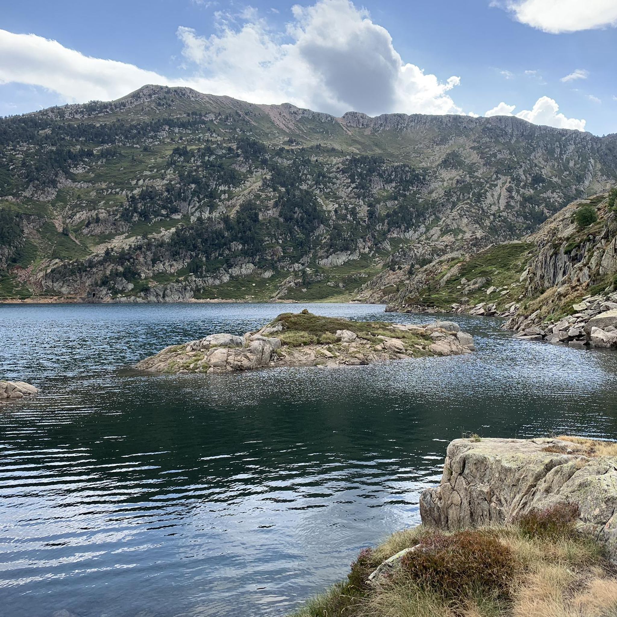
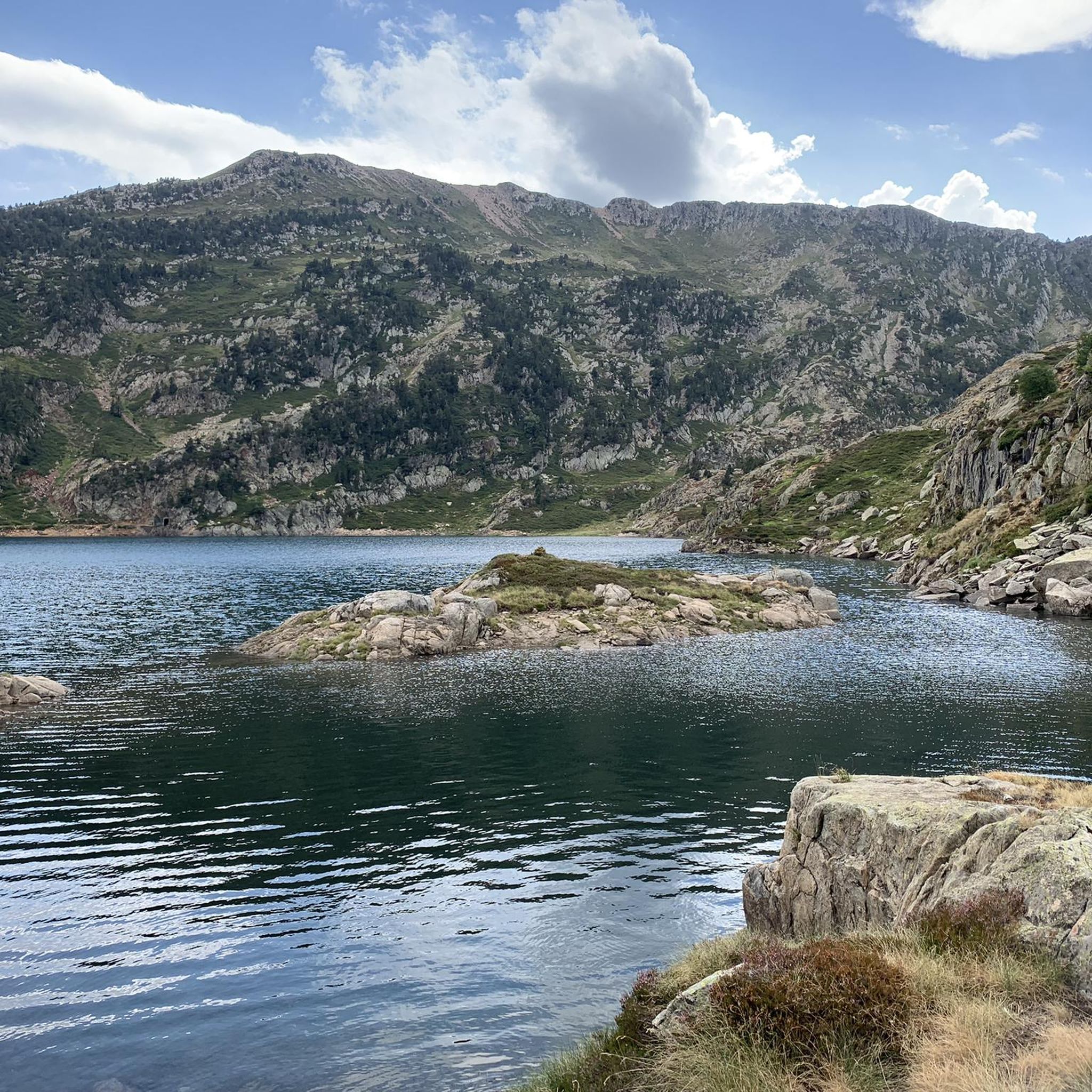
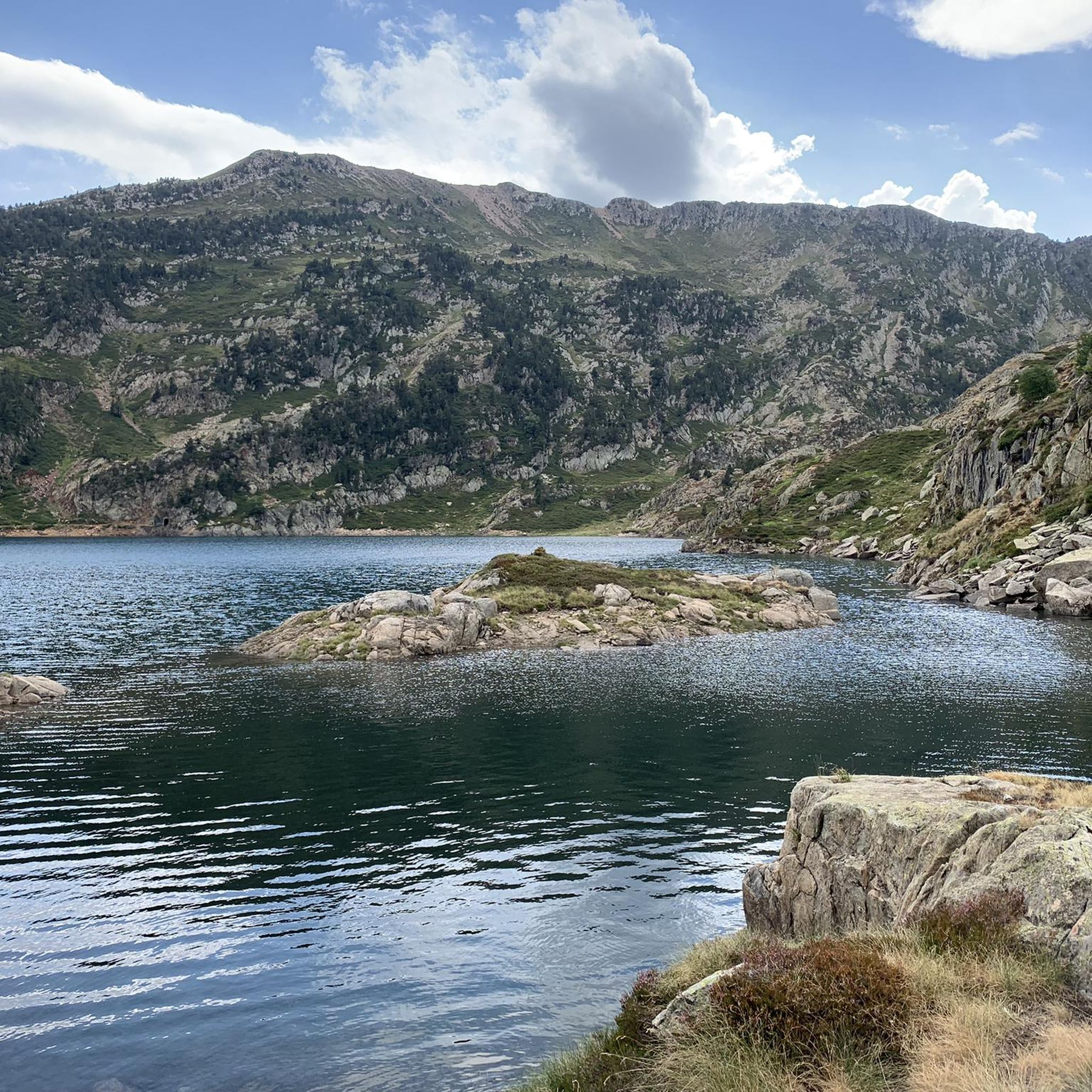
Photogenic little lake on the ascent to the famous peaks. From here, two trail options diverge. The one on the right, in the direction of ascent, isn't any more difficult, although it appears that way on the map.
0
0
This 3000-meter peak on the French side of the Pyrenees' main ridge is relatively easy to reach via the Refuge de Pinet, but requires a significant elevation gain from the parking lot. Therefore, using the hut is recommended; it also has a room open in winter (€8 unattended). Another ascent from the northeast allows for a "crossing," but it has a steep gully (which, when icy, almost caused me a nasty fall in October 2014). A third ascent option leads from the east, from the reservoir, over the shared pass with the Pica d'Estats. Needless to say, there's a fantastic view from the summit. Only the view to the south is limited by the slightly higher Pica d'Estats, which is why hikers with good fitness and surefootedness are recommended to climb the latter from the shared pass.
1
0
Conveniently located hut for those who want to take the technically easiest, but with 2,000 meters of elevation gain, longest climb from the parking lot at L'Artigue to the peaks of Pic du Montcalm, Pica d'Estats, and Pic de Sotllo. The hut was already closed when I climbed in mid-October, but a winter room with approximately 14 beds was open. There's a cash register at the entrance, charging €8 per night.
1
0
"The house by the lake..." Beautifully situated hut on the ascent path from the L'Artigue parking lot to several peaks, including Pic du Montcalm and Pica d'Estats (I also included the somewhat more difficult Pic de Sotllo, hence my photos here as a "highlight" of mountain hiking). The hut was already out of service in October 2024, but there was a winter room with approximately 14 beds. A cash register awaits a deposit of €8 per night.
1
0

Last village before starting the track towards the bottom of Vall Ferrera. We will find a bar to eat something. If they are closed we can go down to Alins.
0
0
Frequently Asked Questions
How many running routes are available in Lladorre?
Lladorre offers a wide selection of running routes, with nearly 80 different trails to explore. These range from easy paths to challenging high-mountain ascents, catering to various fitness levels.
What kind of terrain can I expect on the jogging trails in Lladorre?
The terrain in Lladorre is predominantly high-mountain, characterized by dramatic scenery and varied elevations. You'll find everything from strenuous uphill climbs and rocky sections to gentler paths through valleys. Many routes traverse the Alt Pirineu Natural Park, offering diverse ecosystems and stunning views.
Are there any easy or beginner-friendly running paths in Lladorre?
Yes, while many routes are challenging, Lladorre does offer options for easier runs. There are 4 routes classified as easy, and 22 moderate routes. These often feature gentler elevation changes, such as paths along the Noguera de Cardós river basin or specific itineraries within the Alt Pirineu Natural Park like the Montgosso Itinerary.
Can I find challenging or advanced trail running routes in the region?
Absolutely. Lladorre is renowned for its challenging high-mountain trails, with 53 routes classified as difficult. These often involve significant elevation gains and technical sections. For example, the route to Le Pic de Montcalm is a difficult 18 km trail with substantial elevation changes, offering a rewarding experience for experienced trail runners.
Are there any circular running routes in Lladorre?
Yes, many of the running routes in Lladorre are designed as loops, allowing you to start and finish in the same location. An example is the Estany del Diable – Estanys de Mascarida de Dalt loop, which takes you through high-altitude landscapes and past glacial lakes.
What natural features or viewpoints can I discover while running in Lladorre?
Lladorre's running routes offer spectacular natural features. You'll encounter emblematic glacial lakes, such as Certascan Lake (the largest natural lake in the Pyrenees), and enjoy views of the Noguera de Cardós river basin. Many trails provide panoramic vistas of the French and Catalan Pyrenees. Highlights like the Tristaina Solar Viewpoint offer exceptional scenic rewards.
Are the jogging routes in Lladorre suitable for families?
While many routes are challenging, there are family-friendly options, particularly among the easier and moderate trails. These often feature gentler gradients and less technical terrain, allowing families to enjoy the natural beauty of the Alt Pirineu Natural Park together. Look for routes with shorter distances and less elevation gain.
Can I bring my dog on the running trails in Lladorre?
Generally, dogs are welcome on many trails in the Alt Pirineu Natural Park, which encompasses much of Lladorre. However, it's always advisable to keep them on a leash, especially in protected areas, to protect local wildlife and ensure a pleasant experience for all users. Check specific trail regulations if you plan to visit a particularly sensitive area.
What is the best time of year to go jogging in Lladorre?
The best time for jogging in Lladorre is typically from late spring through early autumn (May to October). During these months, the weather is generally milder, and the high-mountain trails are more accessible. Summer offers vibrant landscapes, while autumn brings stunning fall colors. Winter running is possible but requires appropriate gear and experience due to snow and ice.
What do other runners say about their experience in Lladorre?
The running routes in Lladorre are highly rated by the komoot community, with an average score of 4.3 stars from 10 reviews. Runners often praise the stunning high-mountain scenery, the diverse terrain, and the tranquility of the Alt Pirineu Natural Park, making for a truly immersive natural experience.
Are there any specific landmarks or points of interest along the running routes?
Yes, many routes pass by significant natural landmarks. You can encounter impressive mountain passes like Agnès Pass or Latrape Pass. For those seeking summits, routes can lead to peaks such as Coma Pedrosa Summit or Montcalm Peak, offering incredible views.
Are there any running routes that follow the Noguera de Cardós river?
Yes, the Noguera de Cardós river basin, formed by the confluence of the Lladorre and Tavascan rivers, offers refreshing and often flatter options for running. These routes provide a pleasant experience with the sound of flowing water and opportunities to observe diverse wildlife along the banks. The Noguera de Cardós is a prominent feature of the valley.
Most popular routes around Lladorre
Most popular attractions around Lladorre

Get inspired with the komoot mobile app


Explore more
Browse the best Running Trails & Routes in other regions.
