The best MTB trails around Farrera
4.9
(28)
664
riders
36
rides
Mountain bike trails around Farrera are situated in a mountainous region, likely within or near Vall Ferrera, characterized by varied terrain suitable for challenging rides. The landscape features significant elevation changes, with routes often involving substantial climbs and descents. This area provides a natural setting for mountain biking, offering a mix of singletrack and longer, more demanding routes.
Best mountain bike trails around Farrera
- The most popular mountain bike trail is Pallars Sobirà circular desde Llavorsí — Ruta de los…
Last updated: July 4, 2026
4
riders
69.1km
06:49
1,800m
1,800m
Hard mountain bike ride. Very good fitness required. Suitable for all skill levels.
56
riders
77.0km
08:01
2,520m
2,520m
Hard mountain bike ride. Very good fitness required. Advanced riding skills necessary. Some portions of the route may require you to push your bike.

Sign up for free
5.0
(2)
29
riders
51.6km
05:19
1,210m
1,210m
Hard mountain bike ride. Very good fitness required. Suitable for all skill levels.
4.0
(1)
22
riders
66.4km
06:55
2,030m
2,030m
Hard mountain bike ride. Very good fitness required. Advanced riding skills necessary.
11
riders
Hard mountain bike ride. Very good fitness required. Suitable for all skill levels.
Get access to more routes and recommendations from other explorers.
Sign up for free
Already have an account?
Our route recommendations are based on thousands of hikes, rides, and runs completed by other people on komoot.
Start today with a free account
Your next adventure awaits.
Login or Signup

Tips from the Community


The Conflent Pass is an extraordinary natural viewpoint from which we can enjoy wonderful views. From the pass, if we follow the trail down towards the Santa Magdalena Valley (E), we would reach the Conflent huts, a place steeped in legends of smugglers and fugitives. Curiously, these huts are unique in that they are one of the few groups of Pyrenean huts that have a chapel. Also, near the Conflent Pass, we can visit two machine-gun nests. They are two of the many bunkers built by the Franco government at the end of the Spanish Civil War to combat the incursions of the Maquis. These bunkers are part of the so-called "Pyrenees Line," a group of nearly 10,000 fortifications and bunkers spread from Cap de Creus to the Basque Country.
0
0
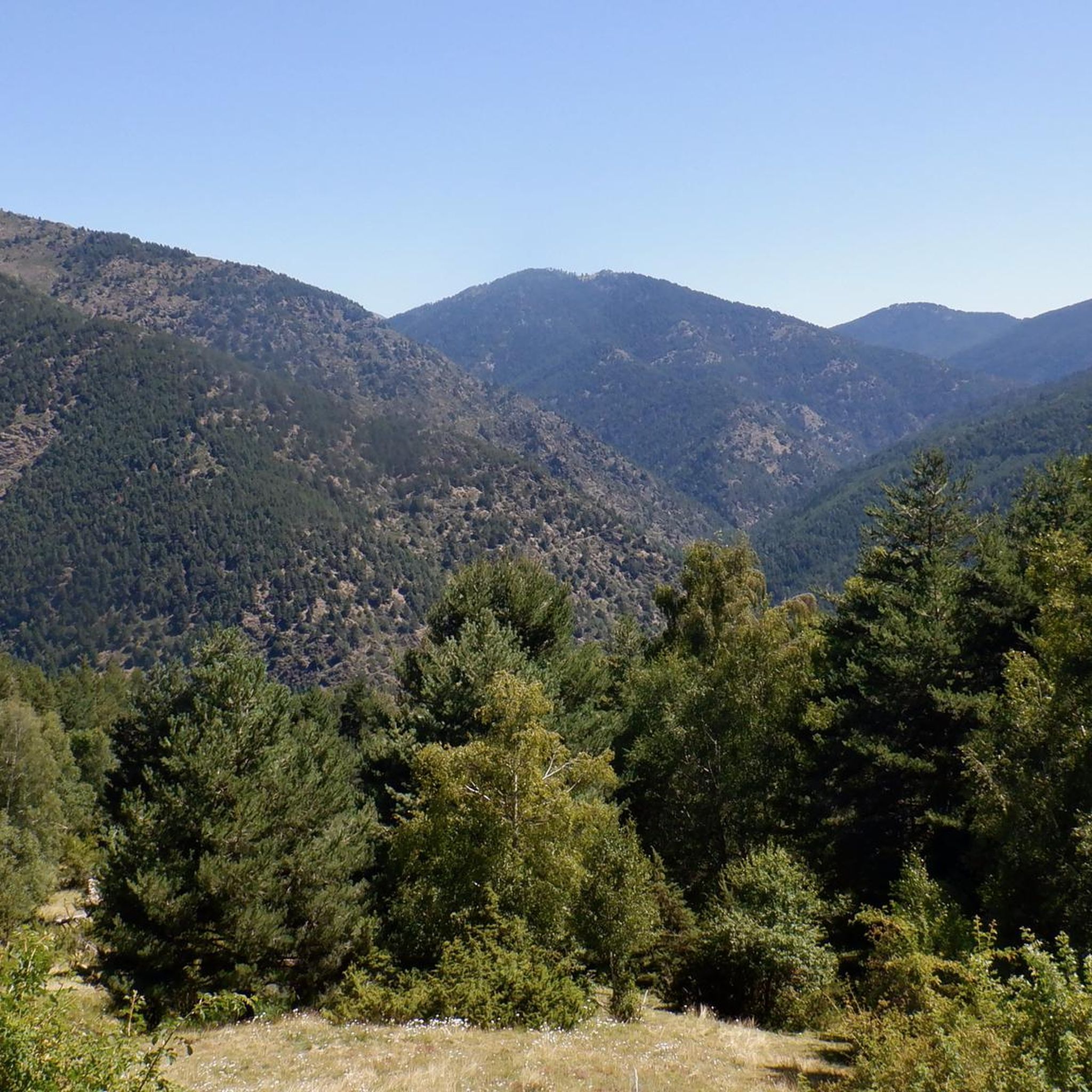
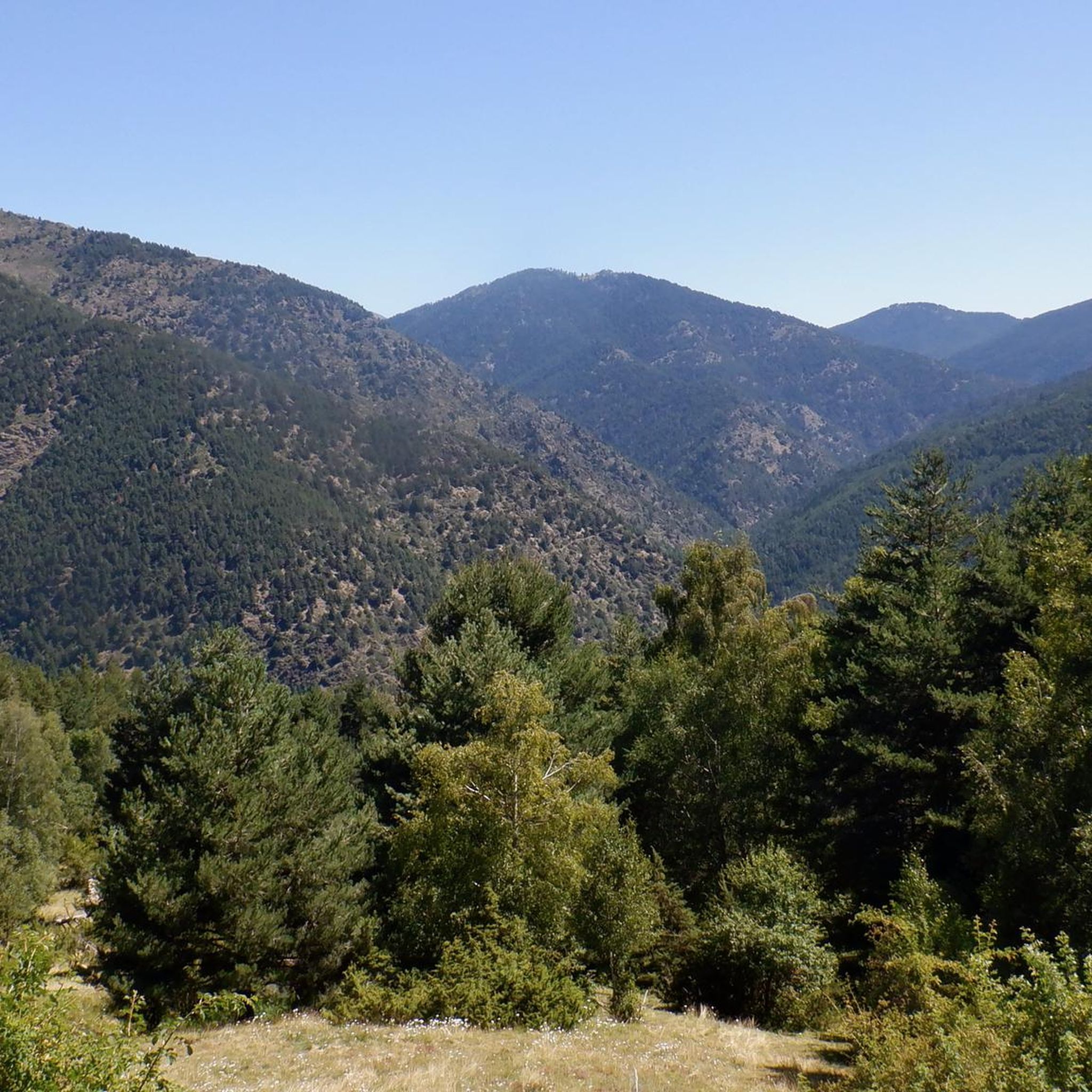
Long descent from the Collada de Conflent with spectacular views.
0
0
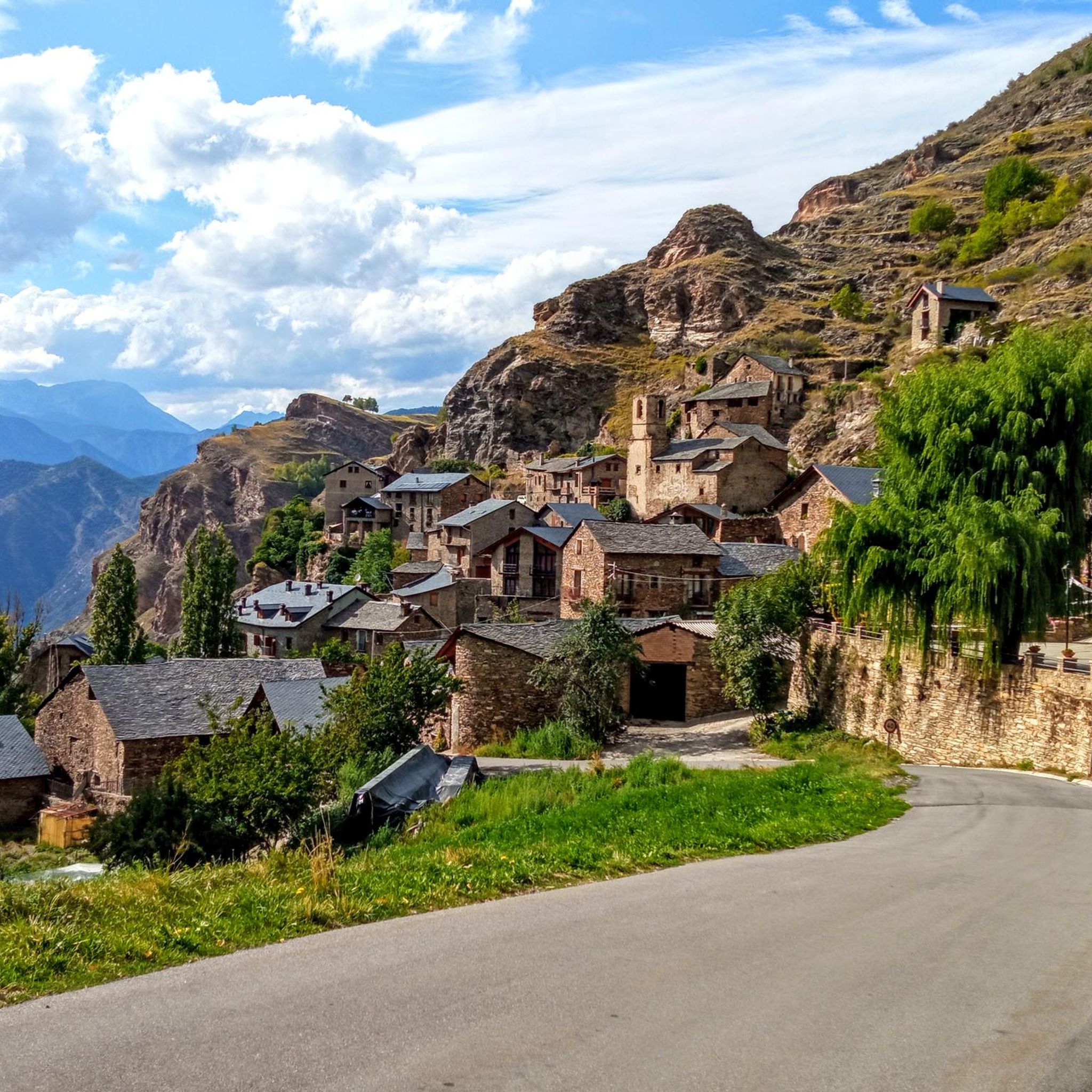
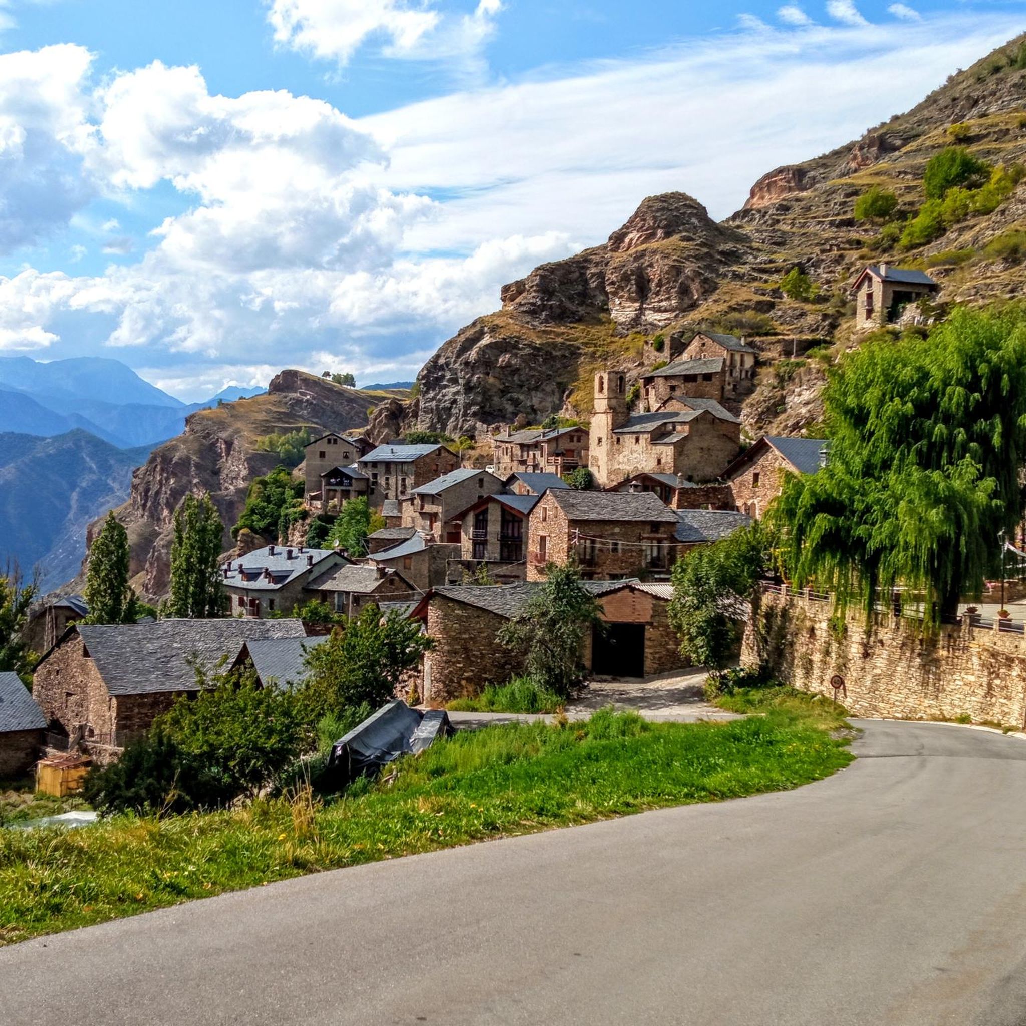
Tor is one of the highest villages in the Pyrenees, right on the border with Andorra, a small village in the Catalan Pyrenees that administratively belongs to the municipality of Alins, in the region of Pallars Sobirá. This village borders Andorra. The village is at an altitude of 1,649 meters and is surrounded by two ravines. On the summit to the north of the village, known as Roc de Sant Pere, are the ruins of a medieval castle, the Força de Tor, and near it are the remains of a Romanesque church. The village is not very well connected. On the Spanish side, there is an asphalt road that reaches a small bridge, after which there is a private dirt track that covers a distance of one and a half kilometers to reach the village. To the east, another dirt track heads towards Andorra, which forks before reaching the Principality. In winter, these roads fill with snow, making car travel difficult. Due to its strategic position in the passes to Andorra through the Pyrenees, ownership of the mountain of Tor has been a source of conflict, initially for timber exploitation and later for real estate interests, to which must be added the smuggling routes that passed through there to Andorra. These conflicts are part of the dark history of Tor and its most tragic events.
0
0
Near Collado de So is the Mirador de So, from where we have magnificent views of the Aigüestortes mountains and the Alt Pirineu Park.
0
0
The Cabús Pass is a mountain pass that crosses the Pyrenees at 2,302 m above sea level. It is located on the border between Andorra and Spain, between the parish of La Massana and the municipality of Alins. Only the Andorran side is paved. From Alins, in the High Pyrenees, the climb is impressive and involves paths and trails that are not always in good condition.
0
0

Very cozy shelter and very good lunch
0
0

The Comes de Rubió refuge is located at an altitude of 1,980 metres in the Alto Pirineos natural park, in the Pallars Sobirà region. It has 50 places, a dining room with a fireplace and hot showers. It also offers food and drink service and specialises in traditional mountain dishes.
0
0
Frequently Asked Questions
How many mountain bike trails are there around Farrera?
There are over 35 mountain bike trails available around Farrera on komoot, offering a range of experiences for different skill levels.
What is the typical difficulty level of mountain bike trails in Farrera?
The mountain bike trails around Farrera are predominantly challenging. Out of 36 routes, 29 are rated as difficult, 6 as moderate, and only 1 as easy. This region is known for significant elevation changes and demanding rides.
Are there any beginner-friendly mountain bike routes in Farrera?
While most routes in Farrera are rated difficult, there is at least one easy mountain bike trail available. It's advisable for beginners to carefully check route details and elevation profiles before setting out.
Can I find circular mountain bike routes in Farrera?
Yes, many of the mountain bike routes in Farrera are designed as loops. For example, the Pallars Sobirà circular desde Llavorsí — Ruta de los Contrabandistas and the Tor – Port de Cabús loop from Llavorsí are popular circular options.
What kind of landscapes and natural features can I expect on the trails around Farrera?
Mountain biking around Farrera, likely within or near Vall Ferrera, offers a mountainous landscape with varied terrain. You can expect significant elevation changes, challenging climbs, long descents, and diverse singletrack. The region provides a natural setting with extensive views of surrounding peaks, especially on routes traversing high mountain passes.
What are some notable attractions or points of interest near the mountain bike trails in Farrera?
The area around Farrera features several natural and historical points of interest. You can encounter mountain passes like Port del Cantó (1,721 m) and Port de Cabús. There's also the Black Lake of Comapedrosa and the settlement of Tor, which can be explored along or near some routes.
What do other mountain bikers say about the trails in Farrera?
The mountain bike routes in Farrera are highly rated by the komoot community, with an average score of 4.9 stars from over 20 reviews. More than 600 mountain bikers have used komoot to explore the varied and challenging terrain, often praising the demanding climbs and rewarding descents.
What is the best time of year to go mountain biking in Farrera?
Given the mountainous terrain and significant elevation, the best time for mountain biking in Farrera is typically during the warmer months, from late spring through early autumn, when trails are clear of snow and weather conditions are more stable. Always check local weather forecasts before your ride.
Are there any long-distance mountain bike routes in Farrera?
Yes, Farrera offers several long-distance mountain bike routes. For instance, the Tor – Port de Cabús loop from Llavorsí is 53.2 miles (85.7 km) long, and the Pallars Sobirà circular desde Llavorsí — Ruta de los Contrabandistas covers 42.9 miles (69.1 km).
Where can I find trailheads or parking for mountain biking in Farrera?
Many routes start from villages like Llavorsí or Sant Joan de l'Erm. These locations typically offer parking facilities. It's recommended to check the specific starting point of your chosen route on komoot for detailed trailhead information and potential parking options.
Are there mountain bike trails that pass by cafes or places to eat in Farrera?
While specific cafes directly on trails are not detailed in the route information, many mountain bike routes in Farrera start or pass through villages like Llavorsí or Sant Joan de l'Erm, where you can typically find local establishments for refreshments and meals. Planning your route to include these villages is a good approach.
Most popular attractions around Farrera

Get inspired with the komoot mobile app


Explore more
Browse the best MTB trails in other regions.
